
Search for another town





Free U.S. delivery 7 to 10 days after you order
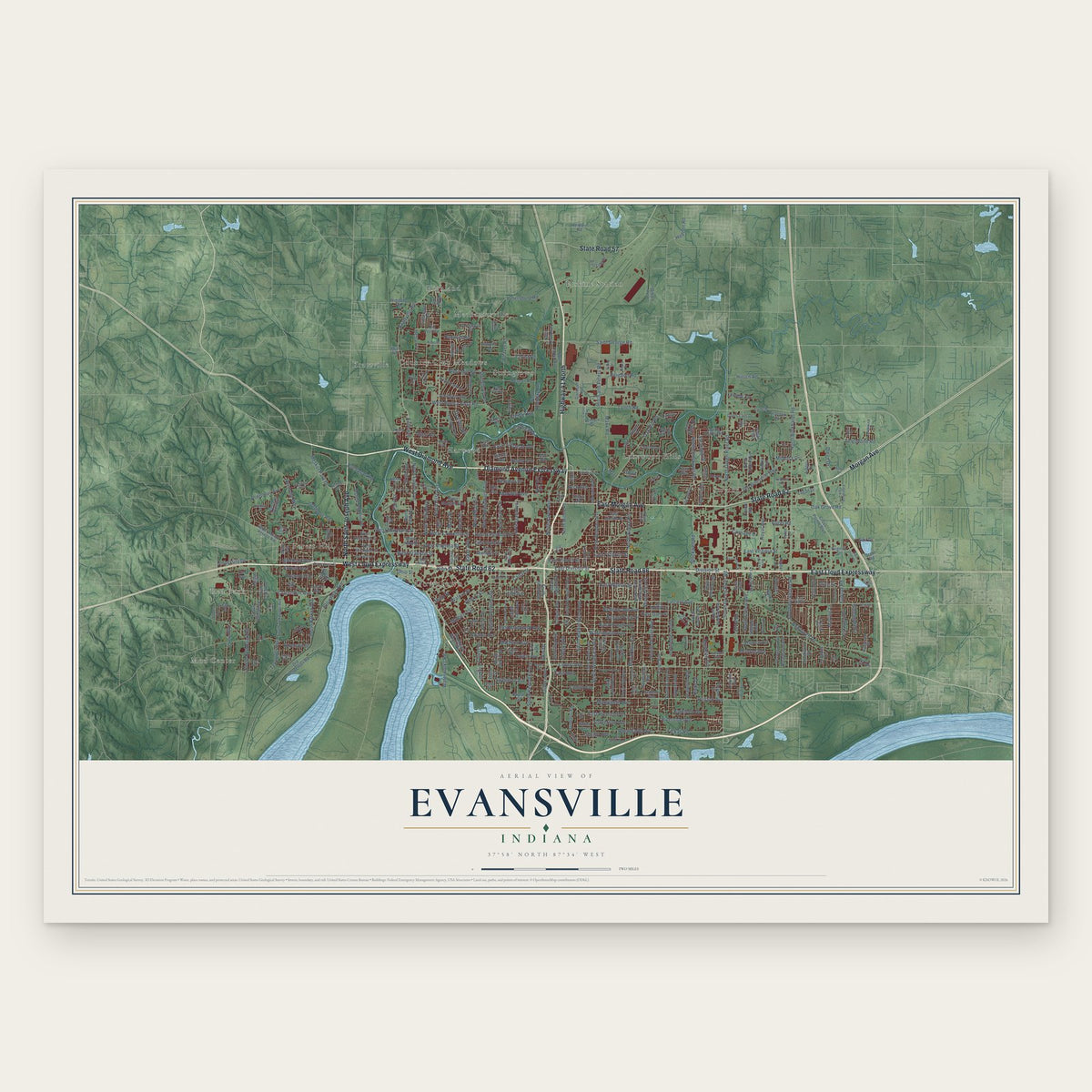
Evansville, Indiana Map Art
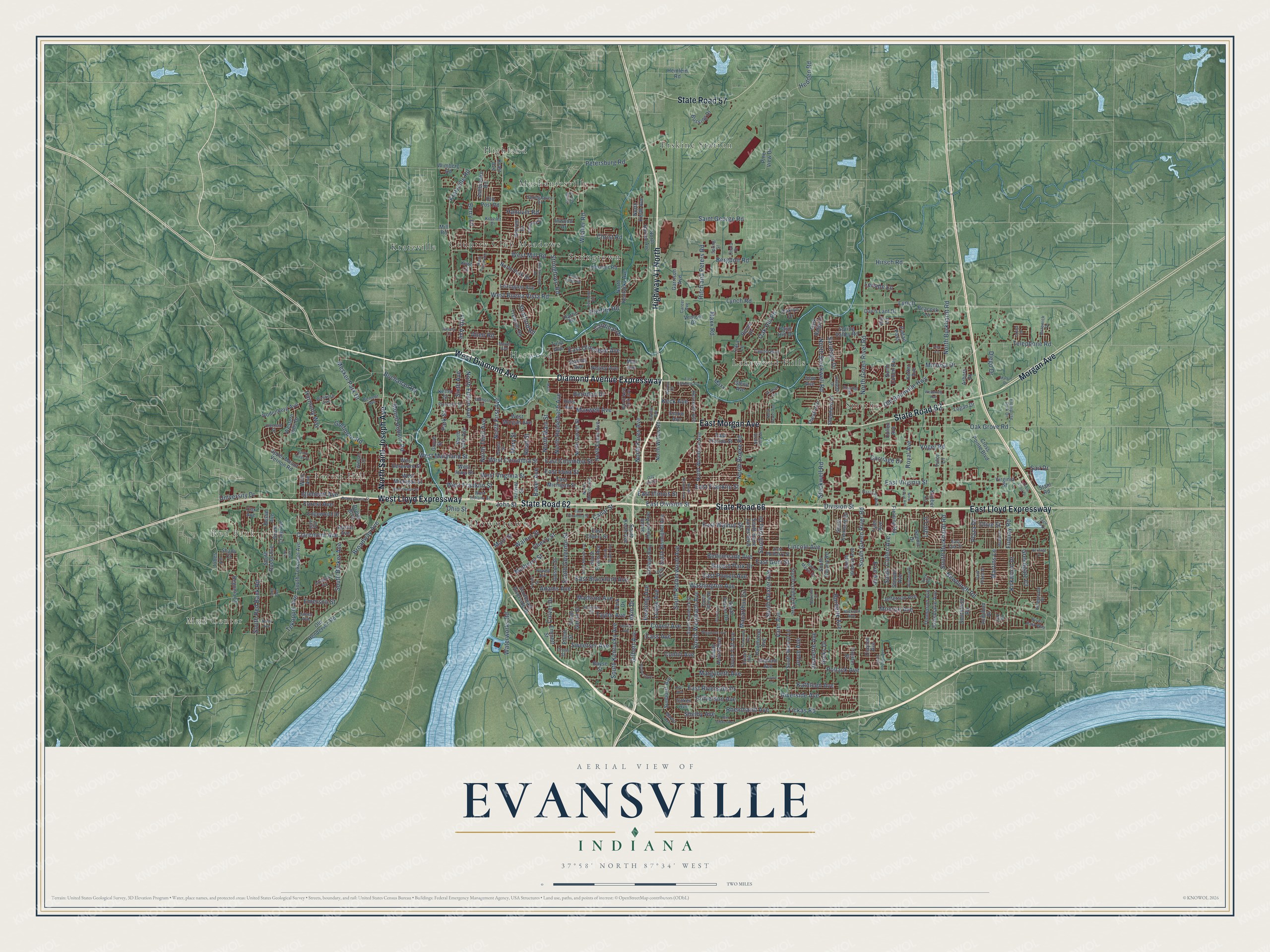
A new map of Evansville, Indiana, made in 2026 and printed to order on thick archival matte paper.
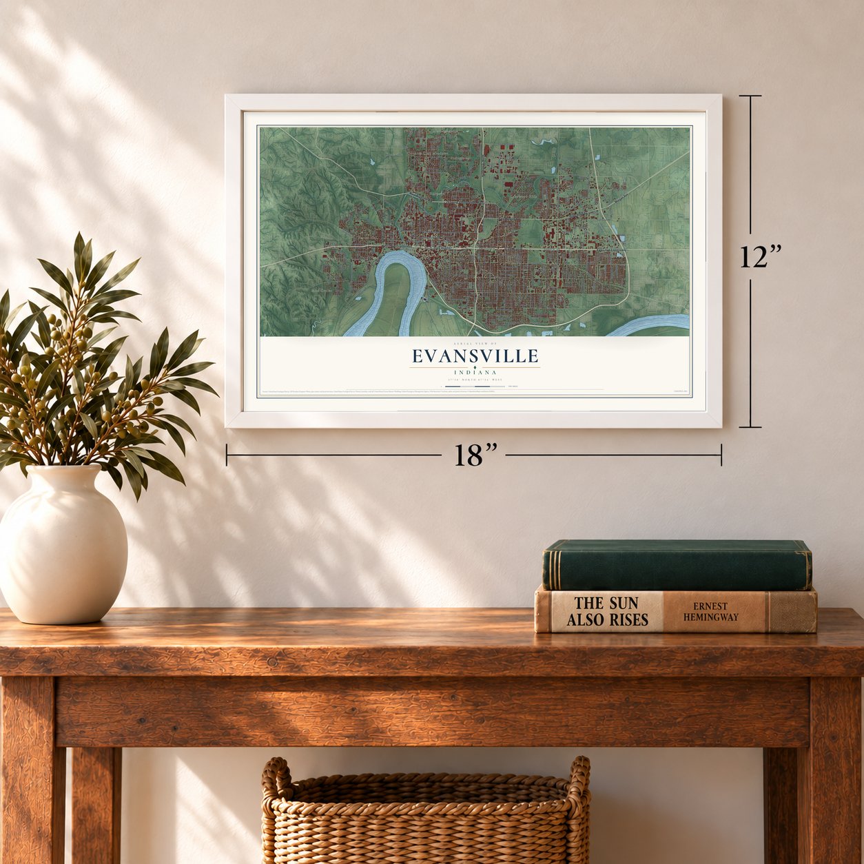
12" x 18" Archival Matte Print
A Map of Home. A Work of Art.
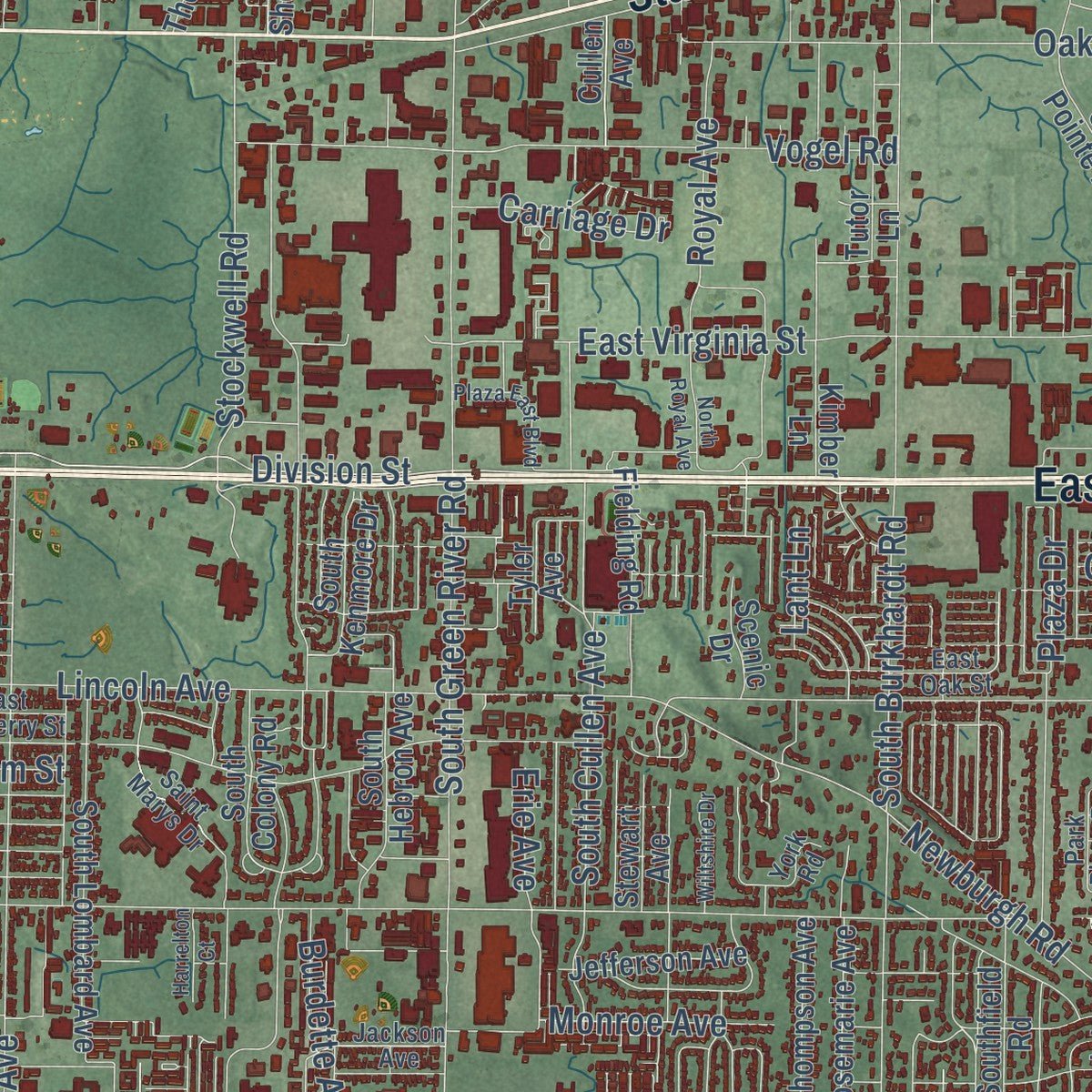
This beautifully detailed map of Evansville, Indiana was created in 2026 using aerial imagery combined with modern topographical, census, street and landmark data. It's a modern aerial view of Evansville in Vanderburgh County, Indiana, that combines modern data with a vintage aesthetic. Zoom in on the preview and look for your block.
Three ways to hang it
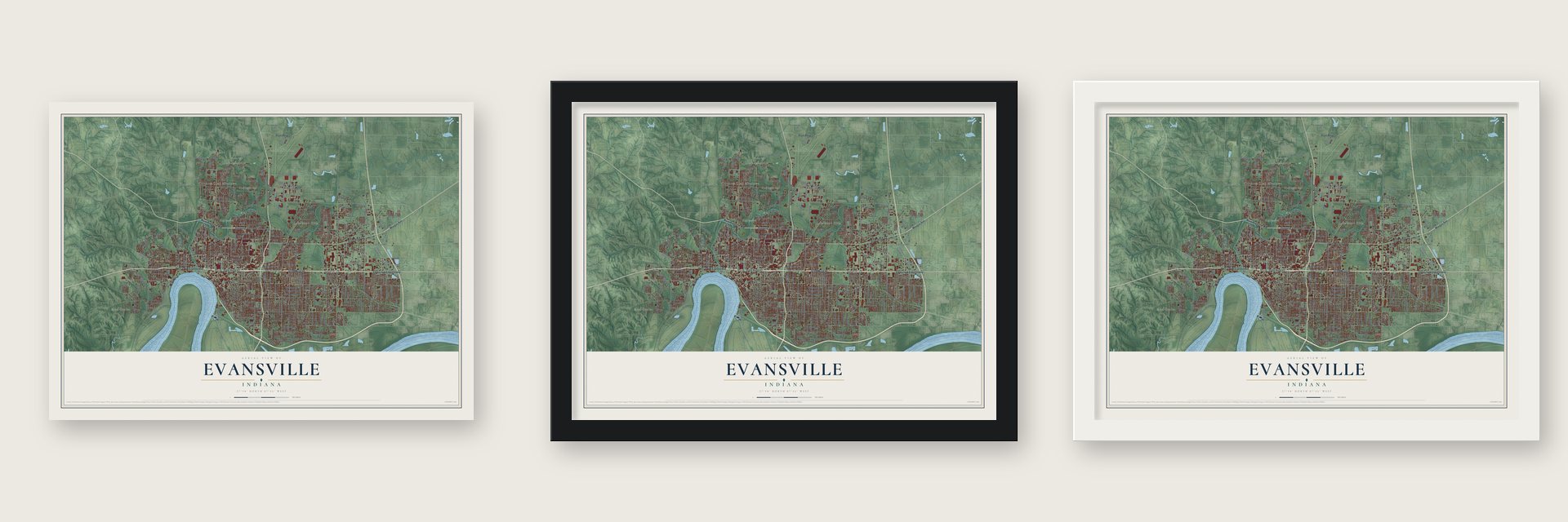
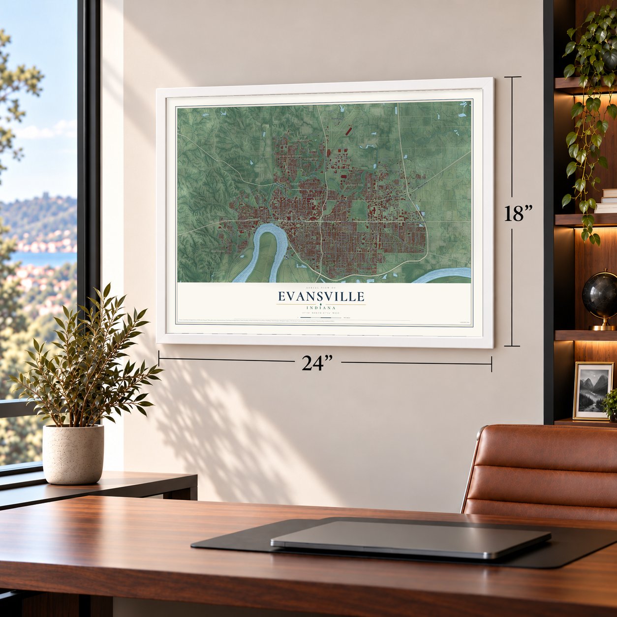
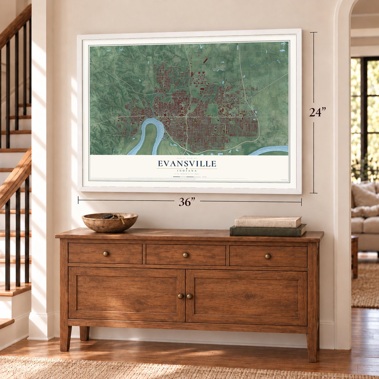
Unframed archival matte, a black wood frame or a white wood frame.
Up close
Real geography. Art worth displaying.
This map was created using accurate cartographic data and authoritative geographic sources, including the U.S. Geological Survey and the Census Bureau. The map brings together terrain, waterways, roads, and building detail. The majority of the streets are labeled, houses are accurately depicted, and the topography is derived from government sources. Combining local data with carefully composed color and shading leads to this beautifully detailed Evansville artwork for your wall.
Rather than simply showing street outlines, we’ve included as many of the street names as we could reasonably fit on the map while keeping their names legible. Zoom in on the high resolution preview to see exactly what’s on the map. We truly set out to create a statement piece for anyone who loves Evansville. So whether it’s for you, or a gift for someone you love, we hope this map of Evansville brings back fond memories.
Read the story behind this map of Evansville, Indiana from 2026.

Find your street
Names on the Evansville map
Every name below is printed on this map. Look for your street, your school, the park where you played, or the pond down the road.
Places and landmarks13
- Downtown
- Mud Center
- Red Bank
- Country Club Meadows
- Erskine Station
- Forest Hill
- Harwood
- Highland
- Kratzville
- Lakewood Hills
- Mechanicsville
- Smythe
Show all 13 places
- Stringtown
Streets and roads360
- State Road 66
- State Road 62
- Highway 41 North
- East Lloyd Expressway
- West Lloyd Expressway
- Diamond Avenue Expressway
- North Saint Joseph Avenue
- Morgan Avenue
- East Morgan Avenue
- West Diamond Avenue
- State Road 57
- North First Avenue
- East Division Street
- Kratzville Road
- Division Street
- North Fulton Avenue
- Fifth Avenue
- Canal Street
- Main Street
- Allen Road
- East Franklin Street
- East Riverside Drive
- West Franklin Street
- North Main Street
- Lynch
- East Virginia Street
- South Red Bank Road
- Park Street
- Riverside Avenue
- Mulberry Street
Show all 360 streets
- Lincoln Avenue
- Washington Avenue
- Covert Avenue
- Bellemeade Avenue
- Monroe Avenue
- East Walnut Street
- Taylor Avenue
- Oak Hill Road
- Bayard Park Drive
- Stringtown Road
- West Maryland Street
- Sweetser Avenue
- North Green River Road
- North Burkhardt Road
- Adams Avenue
- Pollack Avenue
- East Gum Street
- South Weinbach Avenue
- East Powell Avenue
- North Fares Avenue
- South Green River Road
- Cass Avenue
- East Blackford Avenue
- Vann Avenue
- Madison Avenue
- West Virginia Street
- South Kentucky Avenue
- Conlin Avenue
- Lynch Road
- Lodge Avenue
- Maxwell Avenue
- Broadway Avenue
- East Columbia Street
- Old Boonville Highway
- Oak Grove Road
- Vogel Road
- Newburgh Road
- South Rotherwood Avenue
- Buchanan Road
- West Columbia Street
- North Heidelbach Avenue
- South Governor Street
- South Villa Drive
- Keck Avenue
- Royal Avenue
- John Street
- Petersburg Road
- Kathleen Avenue
- South Dexter Avenue
- North Third Avenue
- Claremont Avenue
- Herndon Drive
- Stratford Road
- South Burkhardt Road
- Saint George Road
- Weaver Road
- Read Street
- East Illinois Street
- Baker Avenue
- West Mill Road
- Burdette Avenue
- South Cullen Avenue
- Plaza Drive
- West Buena Vista Road
- South Barker Avenue
- Culverson Avenue
- Stockwell Road
- Harmony Way
- Mesker Park Drive
- East Iowa Street
- North Boeke Road
- Martins Lane
- Rheinhardt Avenue
- Margybeth Avenue
- Ohio Street
- Sixth Avenue
- East Olmstead Avenue
- Fickas Road
- North Stockwell Road
- Hirsch Road
- Jeanette Avenue
- Hitch and Peters Road
- Christ Road
- Forest Avenue
- Kirkwood Drive
- Saratoga Drive
- Telephone Road
- Walnut Street
- Gilbert Avenue
- Mary Street
- Bergdolt Road
- Cherry Street
- Maxx Road
- Mount Auburn Road
- Fuquay Road
- Hicks Drive
- Golfmoor Road
- Henning Avenue
- Joyce Avenue
- Waterworks Road
- Shelby Avenue
- Berry Lane
- Erie Avenue
- Cardinal Drive
- Culver Drive
- Carriage Drive
- Pfeiffer Road
- Tekoppel Avenue
- Macarthur Circle
- Igleheart Avenue
- Greengate Court
- Lenape Lane
- University Drive
- Emerson Street
- Diego Drive
- Hanover Road
- Mimosa Drive
- Hedden Road
- Olive Street
- Lant Lane
- Akin Drive
- Sail Drive
- Southeast Riverside Drive
- Virginia Street
- Stahl Road
- North Weinbach Avenue
- Park Drive
- South Alvord Boulevard
- Jefferson Avenue
- North Kentucky Avenue
- South Saint James Boulevard
- North Harlan Avenue
- West Michigan Street
- South Garvin Street
- West Delaware Street
- South Evans Avenue
- East Cherry Street
- East Michigan Street
- West Iowa Street
- Negley Avenue
- North Evans Avenue
- South Kerth Avenue
- Cross Pointe Boulevard
- South Tekoppel Avenue
- South Parker Drive
- South Lombard Avenue
- North Cullen Avenue
- North Garvin Street
- South Harlan Avenue
- North Kerth Avenue
- South Bennighof Avenue
- South Bosse Avenue
- Judson Street
- East Florida Street
- North Willow Road
- Tremont Road
- Harriet Street
- Spring Valley Road
- Theatre Drive
- Reis Avenue
- Graham Avenue
- Joan Avenue
- Stanley Avenue
- Hawthorne Avenue
- Kimber Lane
- Hesmer Road
- Audubon Drive
- South Taft Avenue
- Southfield Road
- North Fifth Avenue
- Hercules Avenue
- Grove Street
- South Hebron Avenue
- Garrison Avenue
- Bussing Drive
- South Walnut Lane
- Rodenberg Avenue
- Edgewood Drive
- Thompson Avenue
- Tulip Avenue
- Elliott Street
- Austin Avenue
- Polster Drive
- South Kenmore Drive
- Dreier Boulevard
- West Morgan Avenue
- Upper Mount Vernon Road
- Emmett Street
- North Park Drive
- South Colony Road
- Fielding Road
- Old Henderson Road
- Bayse Street
- Clayton Avenue
- Begonia Court
- Keller Street
- Rosemarie Avenue
- Kotter Avenue
- Lexington Avenue
- South Craig Avenue
- Western Hills Drive
- Fawn Hill Drive
- Enlow Avenue
- Tutor Lane
- Coker Avenue
- Davis Lant Drive
- Park Ridge Drive
- Peacock Lane
- Sunburst Avenue
- Glenn Avenue
- Cullen Avenue
- Old Post Road
- College Highway
- Shepherd Drive
- Ashbrooke Road
- Wimberg Road
- Warren Drive
- Venture Drive
- Kratz Avenue
- Oaklyn Drive
- Stewart Avenue
- Cox Avenue
- Bosse Avenue
- Heinlein Road
- Scenic Drive
- Logan Drive
- Inwood Drive
- Pine View Drive
- Tyler Avenue
- Hartin Drive
- Wills Avenue
- Moll Avenue
- Tiara Lane
- Arbors Drive
- Jobes Lane
- Shady Court
- Renee Drive
- Pintail Pass
- Maxx
- Kiwi Court
- Ibis Lane
- Mill Road
- East Mulberry Street
- Jackson Avenue
- West Indiana Street
- Jackson Street
- South Spring Street
- South Frederick Street
- North New York Avenue
- Oakley Street
- North Morton Avenue
- Kingswood Drive
- East Oak Street
- Uhlhorn Street
- North Villa Drive
- Allens Lane
- Smythe Drive
- Wimberg Avenue
- Powell Avenue
- Ingle Avenue
- Park Plaza Drive
- Edson Avenue
- Haven Drive
- Meyer Avenue
- Florence Street
- Cross Street
- Springhaven Drive
- Enterprise Park Drive
- Capitol Boulevard
- Wessel Lane
- Marbo Avenue
- Saint Marys Drive
- River Park Way
- Bement Avenue
- Career Avenue
- Clement Street
- Braewick Drive
- Spring Street
- Ohara Drive
- Hialeah Drive
- Koehler Drive
- Lant Circle
- James Avenue
- York Road
- Lark Drive
- East Diamond Avenue
- Oak Hill Street
- East Sycamore Street
- North Fourth Avenue
- Waggoner Avenue
- West Illinois Street
- South Grand Avenue
- Wedeking Avenue
- South Morton Avenue
- Van Bibber Avenue
- Chadwick Road
- South Hoosier Avenue
- Parrett Street
- North Norman Avenue
- Arlington Avenue
- Bartlett Avenue
- Eagle Lake Drive
- Pennsylvania Street
- Herbert Avenue
- Quarry Ridge Drive
- Plaza East Boulevard
- Meadowridge Road
- Meade Drive
- Nolan Avenue
- North Royal Avenue
- Circle Front Drive
- Wiltshire Drive
- Herrmann Road
- Thomas Avenue
- North Dexter Avenue
- Seales Avenue
- Eastwood Avenue
- Harrelton Court
- Kings Valley Road
- Alex Lane
- Alvord Lane
- Spring Park Drive
- Heritage Drive
- Marco Drive
- Takara Drive
- Zoar Avenue
- Frank Avenue
- Lowe Lane
- Main
- Cole Avenue
Names are listed as they appear on the printed map. Zoom into the product photos to find them.
The art of mapping a place
How This Map Was Made
Real places. Remarkable detail. Discover the layers that turn geographic data into a map of home.

The view from above
Aerial imagery reveals the character of the land: woodland, open fields, and the patterns of a place.

The shape of the land
Elevation data brings hills, valleys, and subtle changes in the landscape into view.

The details of home
Roads, waterways, and building footprints come together to make the map feel unmistakably local.

Geography becomes art
Considered color, shading, and typography bring the layers together in a map made for your wall.


Process illustrated with Mendon, Massachusetts. Aerial imagery: USDA NAIP. Terrain: USGS 3D Elevation Program. Map details and finished artwork: KNOWOL.
The Details
About This Print
Choose an archival matte print, or a black or white Ayous wood frame. The archival matte print is unframed.
Select your size and finish above to see the matching product image and price.
Materials & Craftsmanship
A contemporary map with the character of a classic atlas, printed on archival matte paper. Optional frames are made from Ayous wood.
Your printed map does not include the watermark shown in the full-map preview.
Shipping & Delivery
Free shipping within the United States. Every print is made to order in the USA.
Buying a gift? Add a note in your cart and we'll include it. We never put prices in the package.
Prints ship within 2 to 3 business days. Allow 7 to 10 days total from ordering for delivery. Timing may vary during holidays or periods of high order volume.
Read our shipping policy.
Returns and damaged prints
Each print is made to order. Change-of-mind refunds are not available after production.
If your print arrives damaged, misprinted or incorrect, contact support@knowol.com within 30 days of receiving it. Include your order number, photos and a description of the issue.
Read our full refund and replacement policy. For questions about your order, email support@knowol.com.
Find your town
Looking for another city?
Find a map of home in our Indiana collection.
Nearby
Maps of towns near Evansville
Know someone from one of these towns? Their map makes a great gift.
 Melody Hill
, Indiana
From $39.99See the map
 Darmstadt
, Indiana
From $39.99See the map
 Newburgh
, Indiana
From $39.99See the map
More maps nearby: Chandler, Parkers Settlement, St. Wendel, Elberfeld and Boonville.