
Search for another town

Free U.S. delivery 7 to 10 days after you order
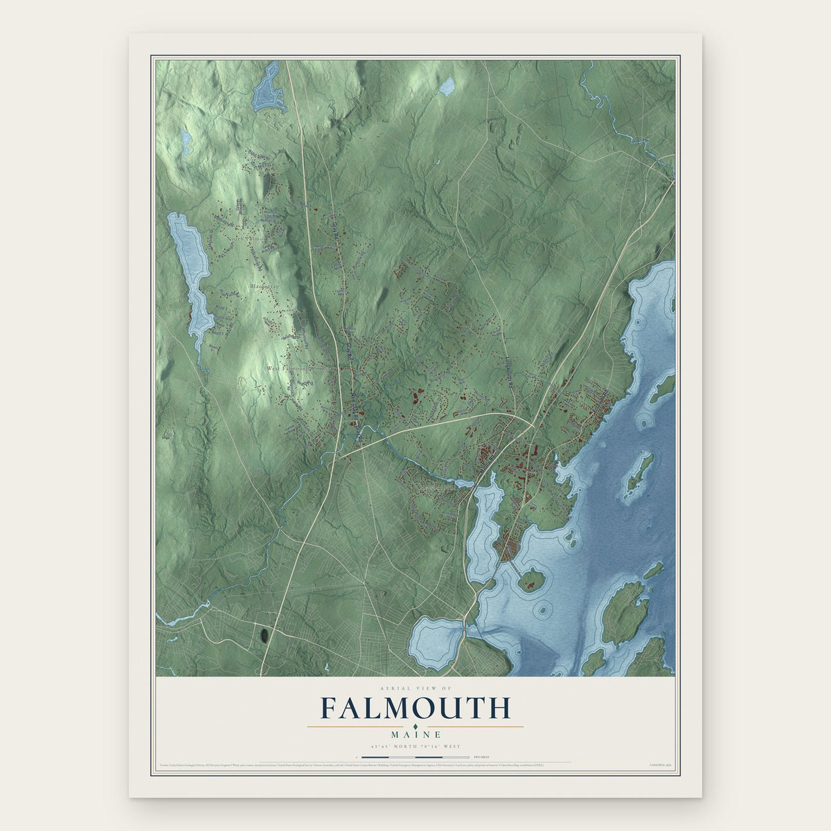
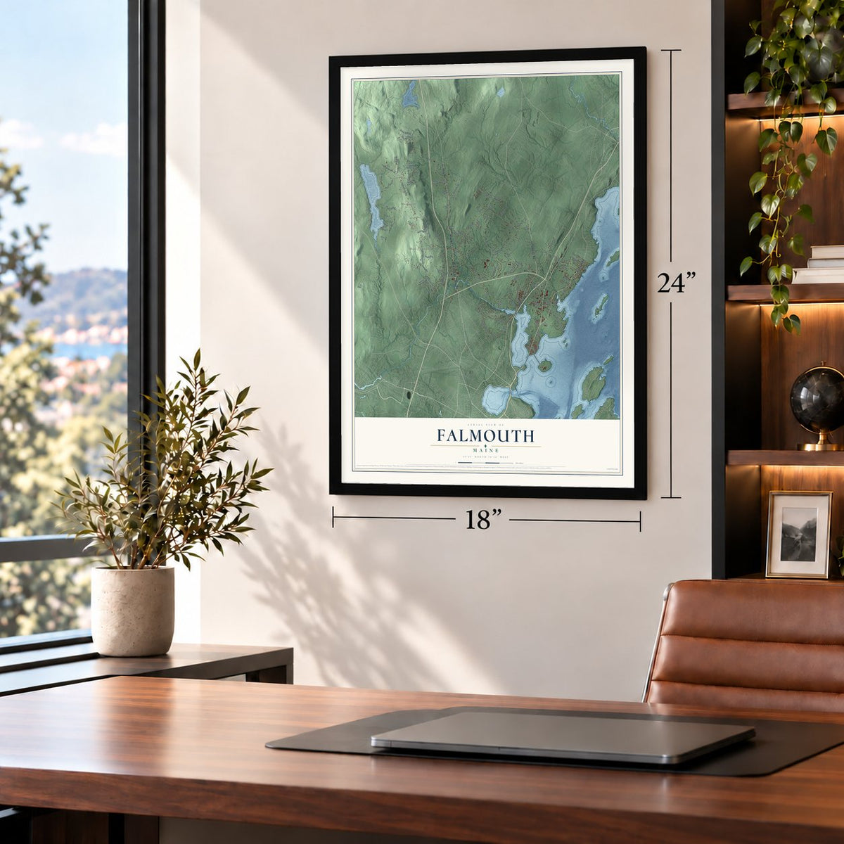
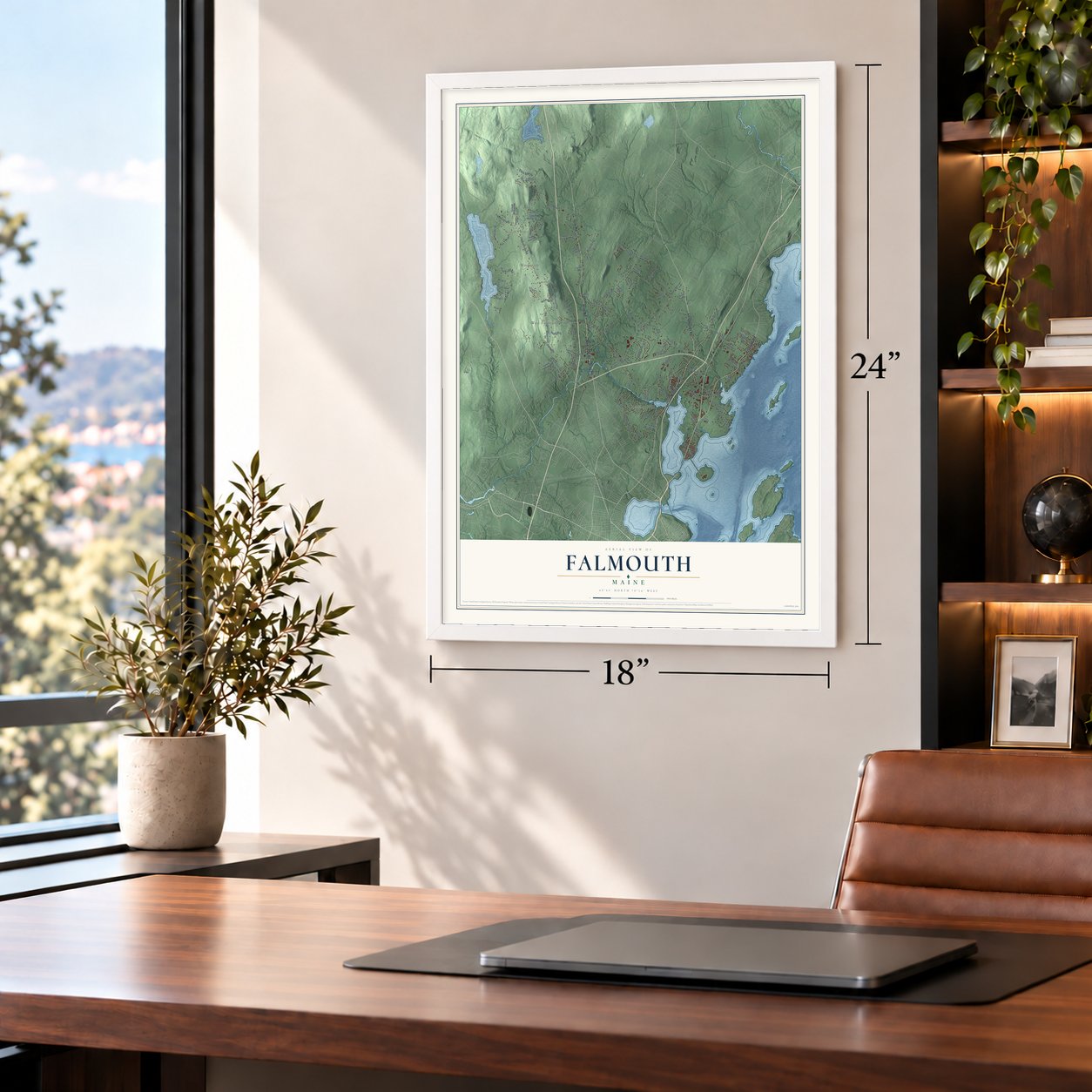
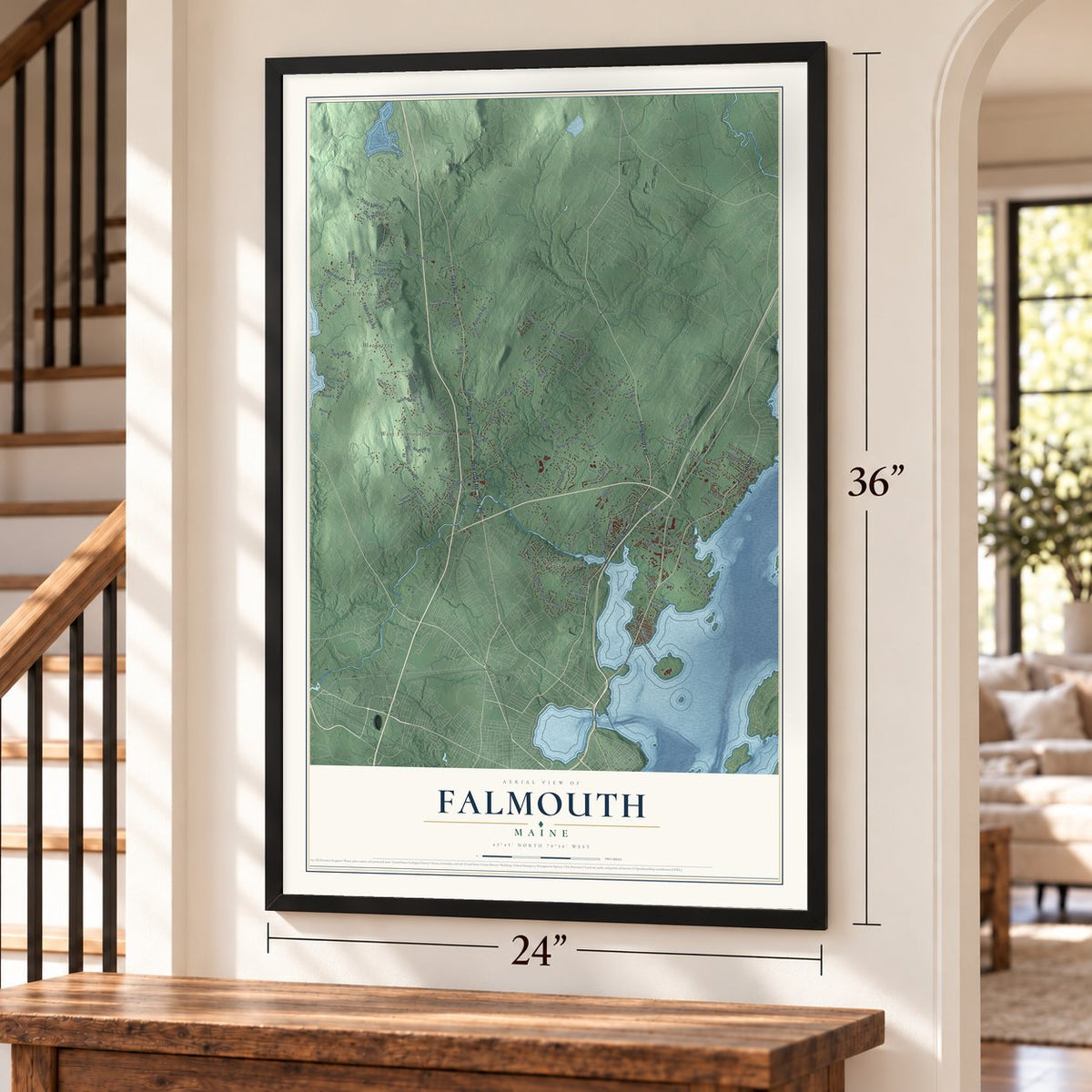
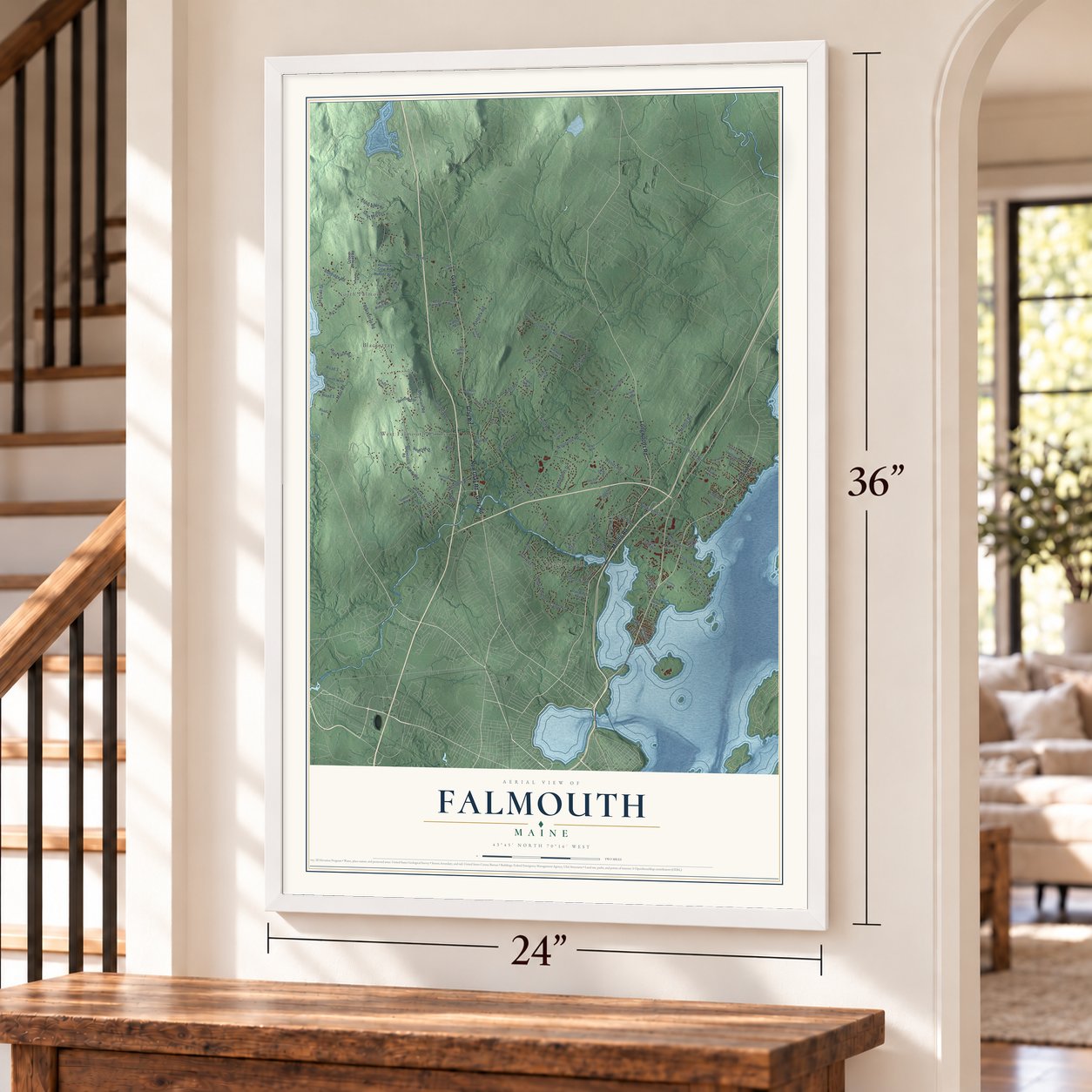
Falmouth, Maine Map Art
Building by building, with labeled streets and shaded relief.
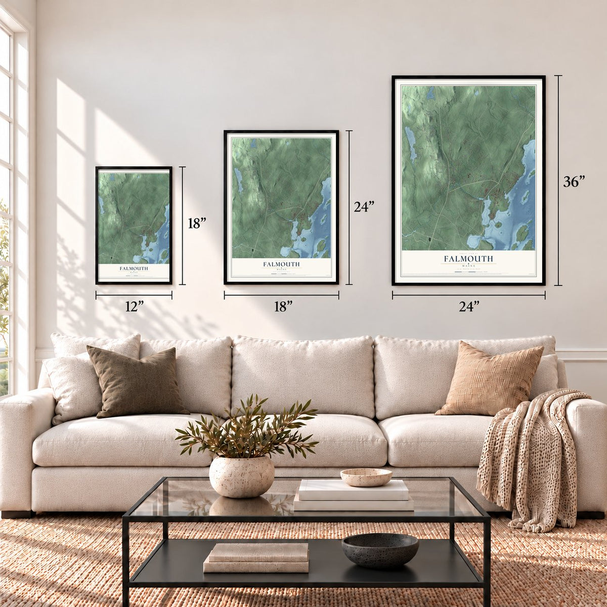
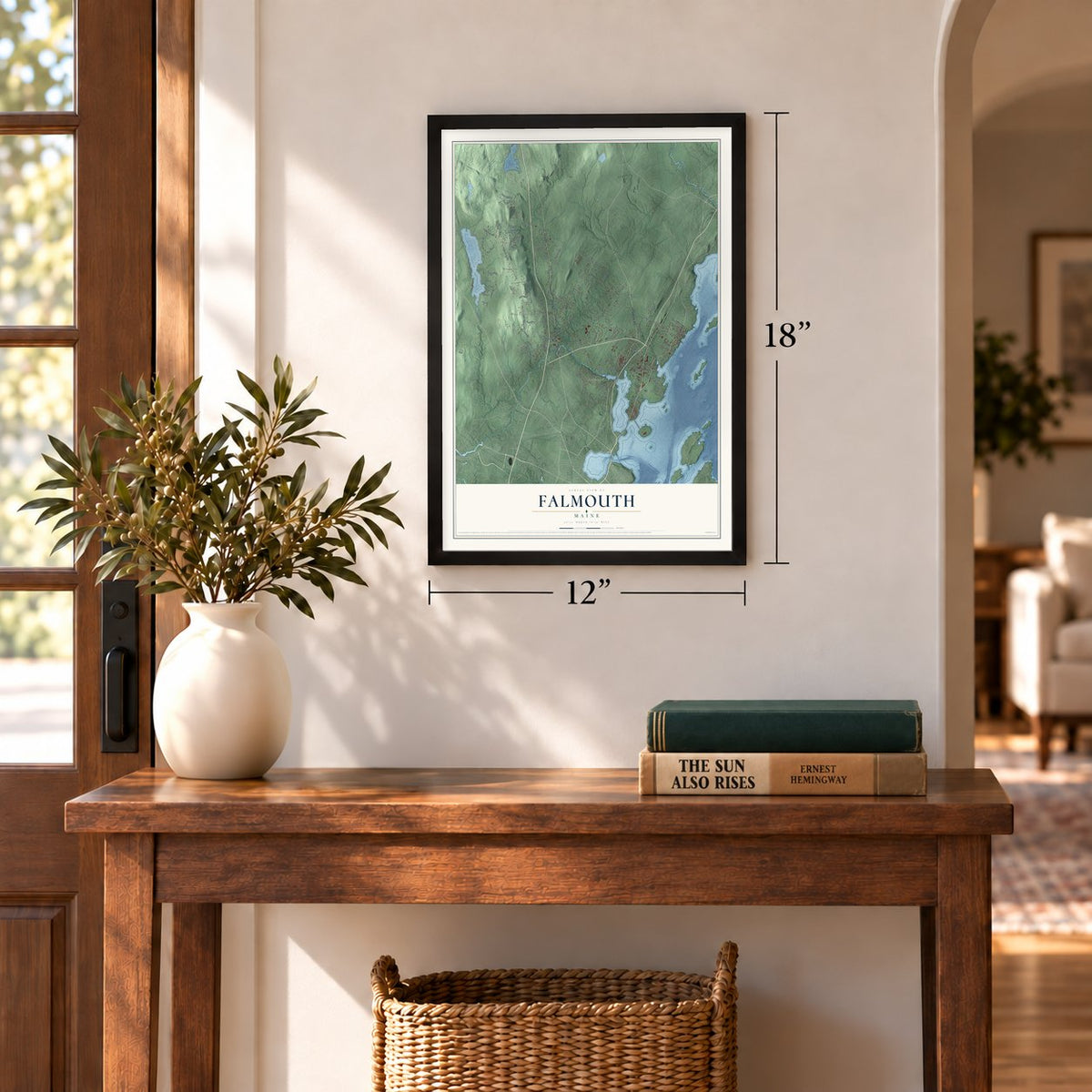
12" x 18" Archival Matte Print
A Map of Home. A Work of Art.
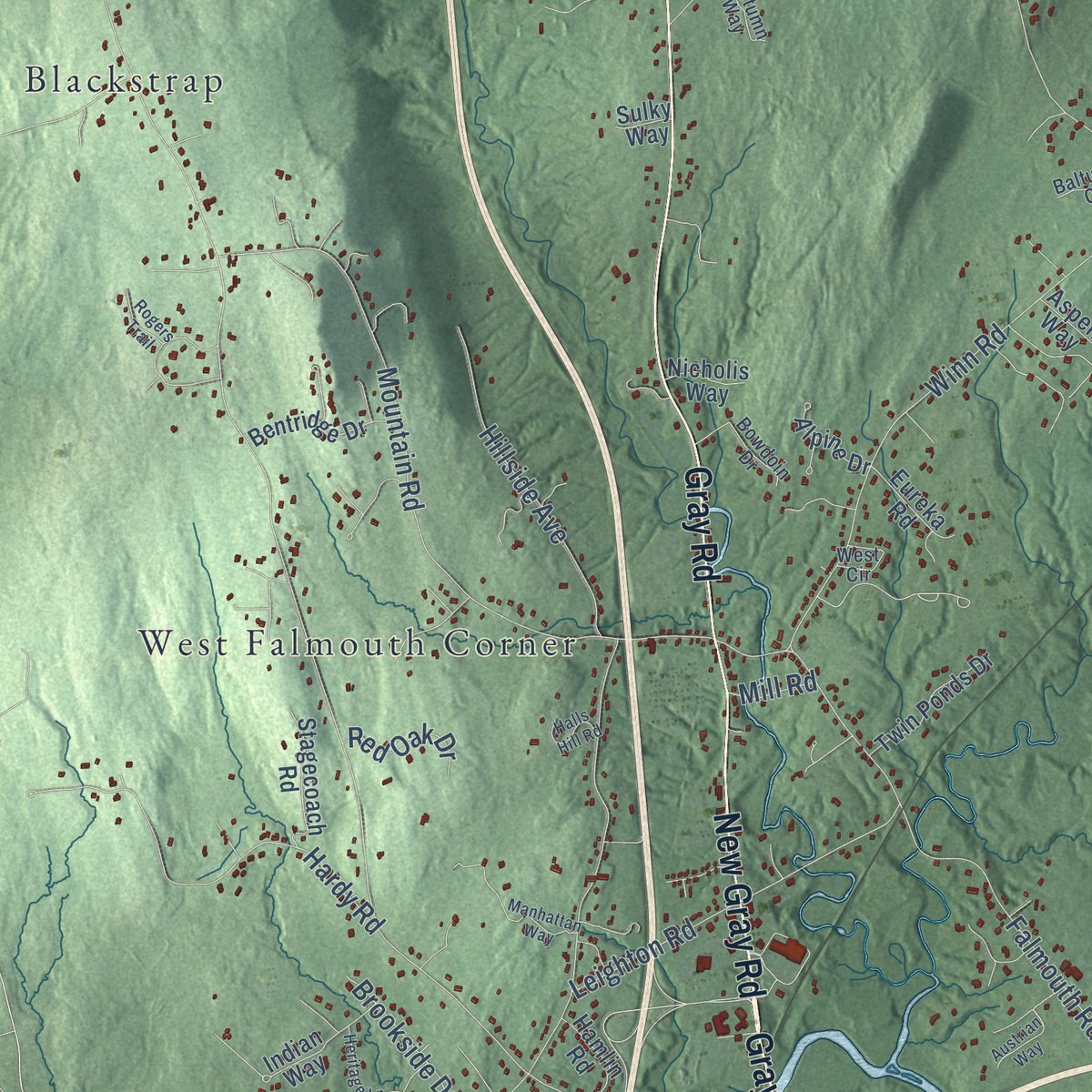
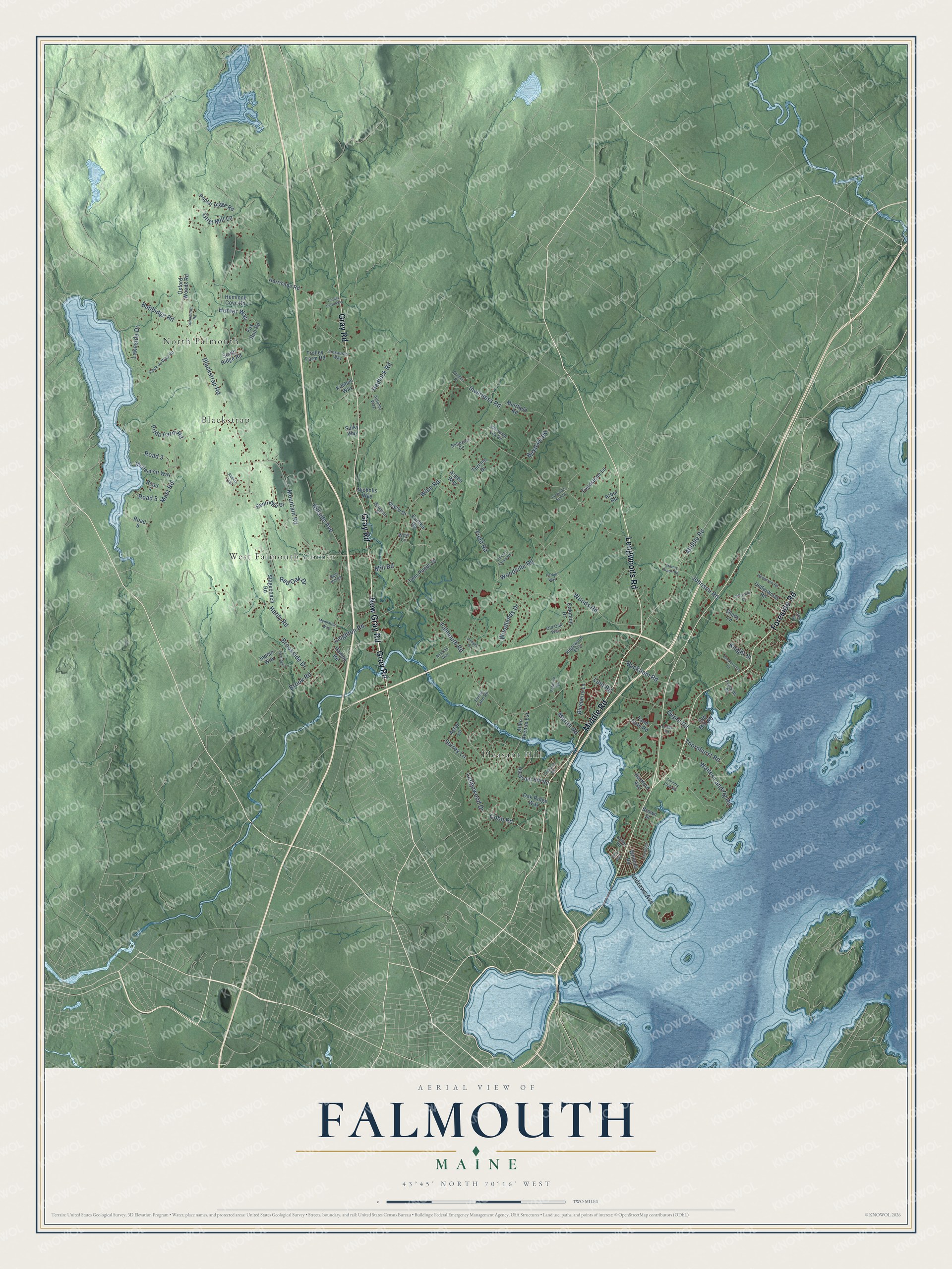
Explore Falmouth, Maine from a whole new perspective. Created using aerial imagery and detailed geographic data, this map captures Falmouth building by building, with labeled streets, familiar landmarks, and shaded topographical relief that highlights the natural contours of the landscape.
Combining modern data with the timeless character of a vintage atlas, this map is just as interesting up close as it is beautiful on the wall. Whether you grew up in Falmouth, spent memorable years there, or call it home today, this unique map is a great way to celebrate a place that means something to you. Zoom in on the preview to look for your street, and then order a print to put your memories on the wall.
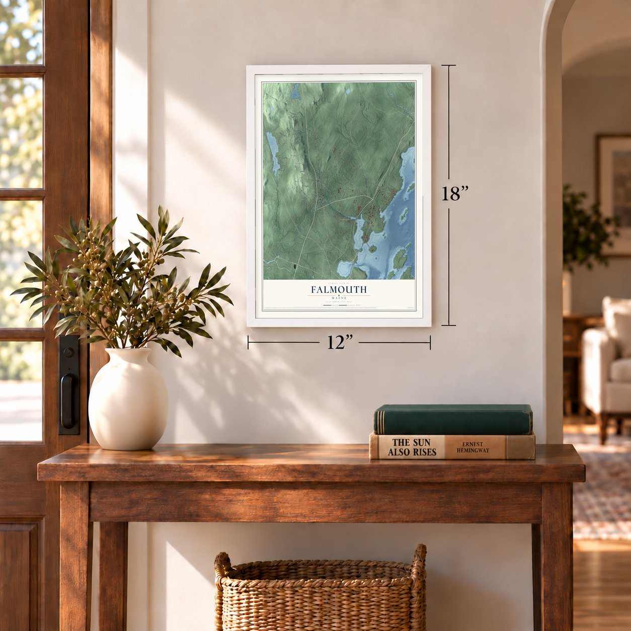
Three ways to hang it
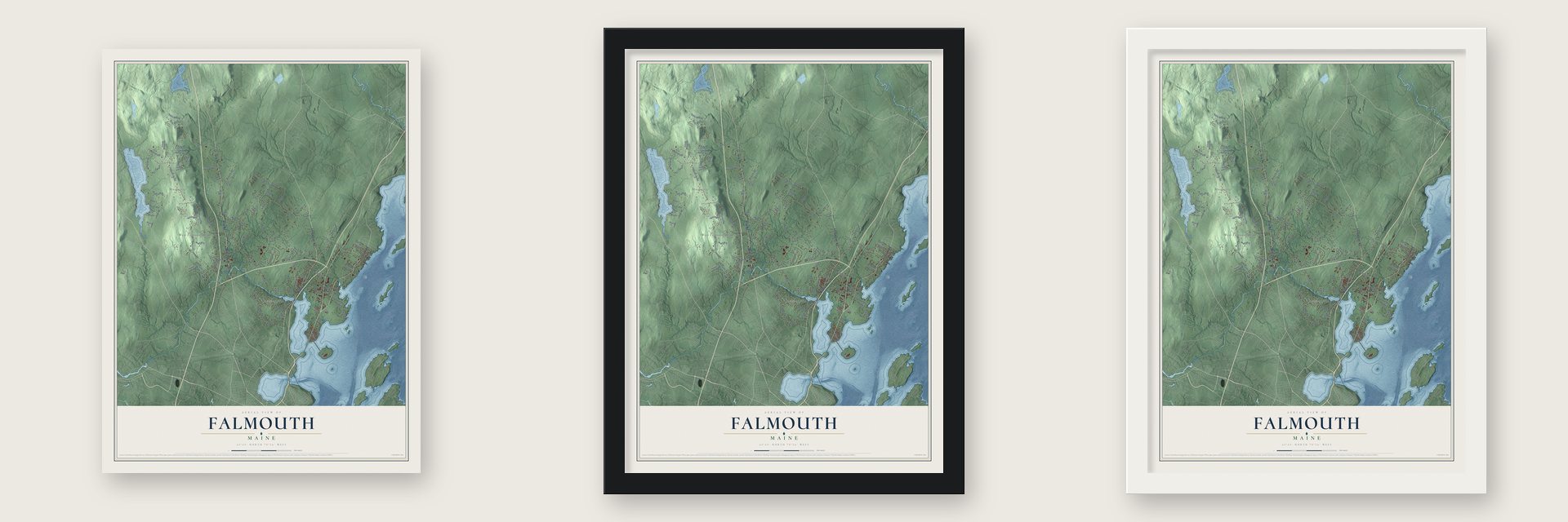
Unframed archival matte, a black wood frame or a white wood frame.
Up close
Geography Worth Displaying
This map was created using accurate cartographic data and authoritative geographic sources, including the U.S. Geological Survey (USGS) and FEMA. The map brings together terrain, waterways, roads, and building detail. The majority of the streets are labeled, houses are accurately depicted, and the topography is derived from government sources. Combining local data with carefully composed color and shading leads to this beautifully detailed Falmouth artwork for your wall.
Rather than simply showing street outlines, we’ve included as many of the street names as we could reasonably fit on the map while keeping their names legible. Zoom in on the high resolution preview to see exactly what’s on the map. We truly set out to create a statement piece for anyone who loves Falmouth. So whether it’s for you, or a gift for someone you love, we hope this map of Falmouth brings back fond memories.
Explore the full map of Falmouth, Maine and read about the local places it shows.
Find your street
Names on the Falmouth map
Every name below is printed on this map. Look for your street, your school, the park where you played, or the pond down the road.
Places and landmarks4
- North Falmouth
- Pleasant Hill
- West Falmouth Corner
- Blackstrap
Streets and roads115
- Middle Road
- Longwoods Road
- Gray Road
- New Gray Road
- Foreside Road
- Blackstrap Road
- Falmouth Road
- Woodville Road
- Winn Road
- Mountain Road
- Mast Road
- Woodlands Drive
- Pride Farm Road
- Brook Road
- Woods Road
- Inverness Road
- Field Road
- Hardy Road
- Johnson Road
- Cobb Road
- Ledgewood Drive
- Leighton Road
- Hillside Avenue
- Hadlock Road
- Babbidge Road
- Waites Landing Road
- Depot Road
- Bucknam Road
- Lakeside Drive
- Lunt Road
Show all 115 streets
- Andrews Avenue
- Thornhurst Road
- Hunter Way
- Birkdale Road
- Merrill Road
- Brookside Drive
- Grist Mill Lane
- Road 3
- Red Oak Drive
- Surrey Lane
- Road 5
- Knight Street
- Mill Road
- Hurricane Road
- Allen Avenue Extension
- Fox Run Road
- Oakmont Drive
- Pleasant Hill Road
- Underwood Road
- Stagecoach Road
- Oxford Woods Road
- Blueberry Lane
- Fieldstone Lane
- McDermott Way
- South Ridge Road
- Trolley Farm Road
- Nicholis Way
- Bentridge Drive
- Poplar Ridge Road
- Twin Ponds Drive
- Farm Gate Road
- Muirfield Road
- Terison Drive
- Alpine Drive
- Hamlin Road
- Indian Way
- Old Mill Road
- Eureka Road
- Oak Ridge Way
- Hemlock Cove Road
- Hartford Avenue
- Road 4
- Whitney Road
- Aster Lane
- Shady Lane
- Arbor Road
- Kimball Way
- Road 6
- Brown Street
- Aspen Way
- Sulky Way
- Rock-A-Way Road
- Ridgewood Ests
- Old Oak Way
- Linsausiq Way
- West Circle
- Autumn Way
- Baltusrol Circle
- Winsome Lea Road
- Bowdoin Drive
- Eustis Farm Road
- Kelley Road
- Manhattan Way
- Heritage Lane
- Shoreline Drive
- Hedgerow Road
- Spoondrift Road
- Preservation Drive
- Arborside Drive
- Country Club Road
- Oakland Road
- Howard's End Drive
- Stormy Brook Road
- Entwood Road
- Halls Hill Road
- Olympic Drive
- Timber Farm Way
- Fundy Road
- Rogers Trail
- Lincoln Farms Road
- Austrian Way
- Parker Way
- Juniper Lane
- Fern Avenue
- Glen Road
Names are listed as they appear on the printed map. Zoom into the product photos to find them.
About Falmouth, Maine
Falmouth is a town of 12,444 people in Cumberland County, on Casco Bay just north of Portland. Arthur Mackworth, the first European to live here, had settled on the Presumpscot River's east bank by 1630. Massachusetts took control of Maine in 1658 and named the area Falmouth, after a Parliamentarian victory in the English Civil War, and the town was incorporated on November 12, 1718. Its land then took in Portland, South Portland, Westbrook and Cape Elizabeth, and today's town was a neighborhood called New Casco.
As its outer parishes grew, the big town came apart, partly because people in them were tired of the long trip to the center in present-day Portland. Cape Elizabeth, which then included South Portland, left in 1765, Portland in 1786 and Westbrook in 1814. By 1859 the Falmouth that remained lived mostly by fishing and farming, with three shipbuilders, three brickmakers, a sawmill, a gristmill and a tannery. By 1886 it also made boots, shoes, tinware and carriage stock.
- The fort behind Two BrothersMassachusetts built Fort Casco in 1698, after King William's War, because local Abenaki wanted a handy spot to trade and to mend their tools and guns. It stood across from what is now Pine Grove Cemetery on Route 88. At a 1701 meeting, Wabanaki leaders and Massachusetts officials agreed to an alliance and raised two stone cairns to mark it, and the nearby Two Brothers Islands are named for that monument.
- The siege of 1703The alliance broke within three years. On June 20, 1703, Governor Joseph Dudley met Abenaki leaders at New Casco, hoping to keep them from siding with the French. Two months later the sagamores Moxus, Wanungonet and Assacombuit and their French allies besieged the fort, until guns of the Massachusetts ship Province Galley scattered the Wabanaki and some 500 French. When settlers began returning to Portland in 1716, Massachusetts had the fort torn down rather than keep it up.
- 62 families by 1753Living out at New Casco, so far from Portland, was risky: in 1725 a single family lived here, Indians raided in 1745, and Job Burnal was murdered in 1751. Most of the first lasting settlers came after 1740 and grew to 62 families, who formed their own parish in 1753, today's Falmouth Congregational Church. The danger of French and Indian attacks ended only when Quebec fell in 1759.
- Hyperion and VegaWilliam Cranch Bond, born in Falmouth in 1789, picked up clockmaking from his father. He went on to lead Harvard College Observatory as its first director, and he and his son George Phillips Bond discovered Hyperion, a moon of Saturn. William Lassell, working separately in Britain, shares the credit. In 1850 the Bonds and photographer John Adams Whipple made a daguerreotype of Vega, said to be the first picture of a star taken from America.
- A park built for the trolleyTrolleys from Portland reached Falmouth Foreside in 1898 and made it a getaway for city people. In 1899 the Portland and Yarmouth Electric Railway Company built Underwood Spring Park, just north of Town Landing, to draw riders, with a casino, a hotel and an outdoor theater. Fire wiped out the park in 1907, and it was never rebuilt. Cars won out over the trolleys, which stopped running in 1933.
Keep exploring Maine
Falmouth is one of 536 Maine towns we've mapped. Every dot on the map is a print of its own.
The search covers every state, Maine first.
Near Falmouth
Order 2 or more town maps and save 10%. Shown in the size and finish you picked above, so they hang as a set.
- Falmouth Foreside 12" x 18" / Archival Matte Print $39.99
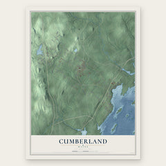
- Cumberland 12" x 18" / Archival Matte Print $39.99
- Cumberland Center 12" x 18" / Archival Matte Print $39.99


More maps nearby: Westbrook, Yarmouth, Cousins Island, Littlejohn Island and North Yarmouth.
The art of mapping a place
How This Map Was Made
Real places. Remarkable detail. Discover the layers that turn geographic data into a map of home.

The view from above
Aerial imagery reveals the character of the land: woodland, open fields, and the patterns of a place.

The shape of the land
Elevation data brings hills, valleys, and subtle changes in the landscape into view.

The details of home
Roads, waterways, and building footprints come together to make the map feel unmistakably local.

Geography becomes art
Considered color, shading, and typography bring the layers together in a map made for your wall.


Process illustrated with Mendon, Massachusetts. Aerial imagery: USDA NAIP. Terrain: USGS 3D Elevation Program. Map details and finished artwork: KNOWOL.
The Details
About This Print
Choose an archival matte print, or a black or white Ayous wood frame. The archival matte print is unframed.
Select your size and finish above to see the matching product image and price.
Materials & Craftsmanship
A contemporary map with the character of a classic atlas, printed on archival matte paper. Optional frames are made from Ayous wood.
Your printed map does not include the watermark shown in the full-map preview.
Shipping & Delivery
Free shipping within the United States. Every print is made to order in the USA.
Buying a gift? Add a note in your cart and we'll include it. We never put prices in the package.
Prints ship within 2 to 3 business days. Allow 7 to 10 days total from ordering for delivery. Timing may vary during holidays or periods of high order volume.
Read our shipping policy.
Returns and damaged prints
Each print is made to order. Change-of-mind refunds are not available after production.
If your print arrives damaged, misprinted or incorrect, contact support@knowol.com within 30 days of receiving it. Include your order number, photos and a description of the issue.
Read our full refund and replacement policy. For questions about your order, email support@knowol.com.