
Search for another town





Free U.S. delivery 7 to 10 days after you order
Flint Township, Michigan Map Art
Building by building, with labeled streets and shaded relief.
12" x 18" Archival Matte Print
A Map of Home. A Work of Art.
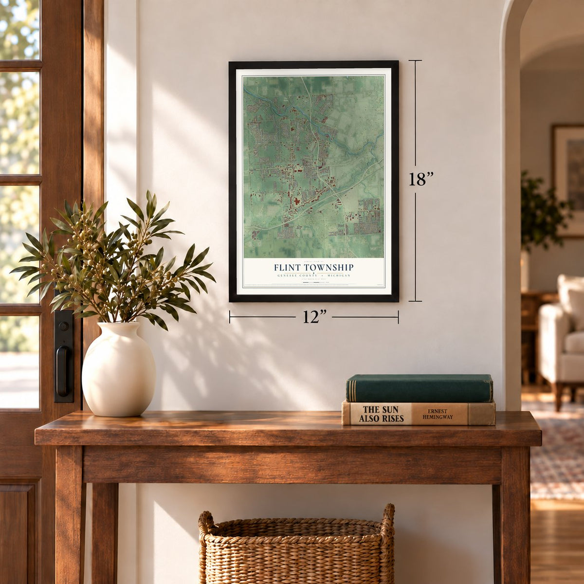
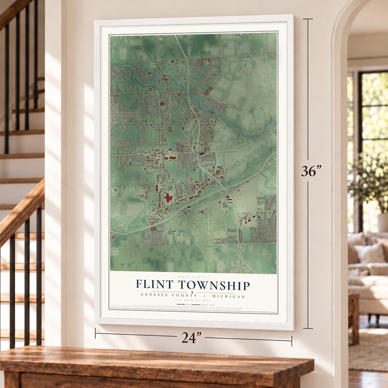
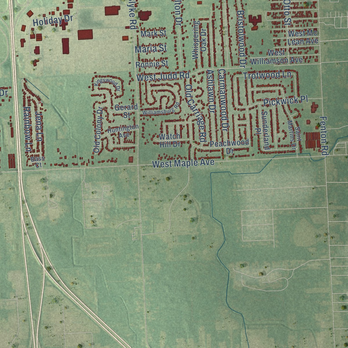
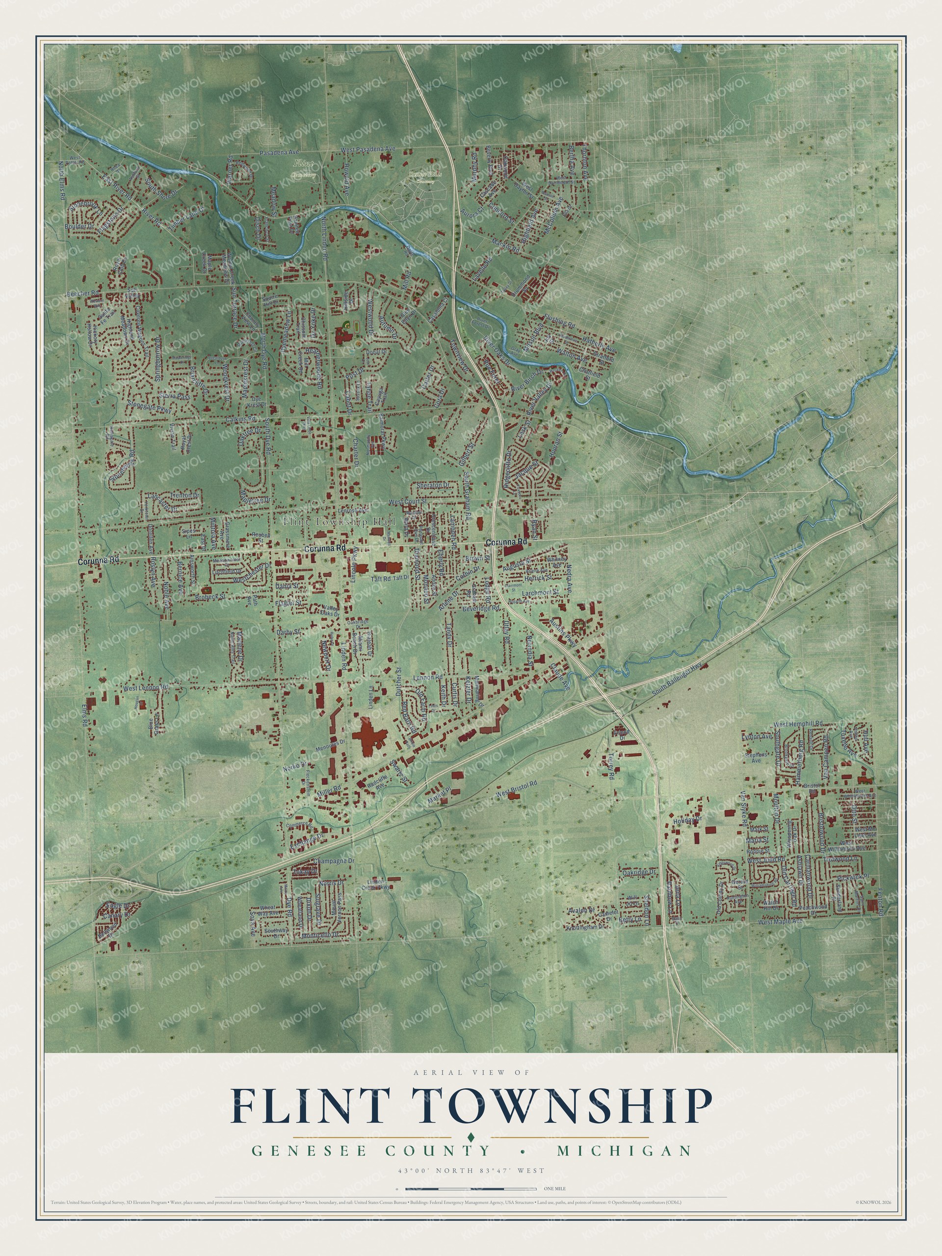
Explore Flint Township, Michigan from a whole new perspective. Created using aerial imagery and detailed geographic data, this map captures Flint Township building by building, with labeled streets, familiar landmarks, and shaded topographical relief that highlights the natural contours of the landscape.
Combining modern data with the timeless character of a vintage atlas, this map is just as interesting up close as it is beautiful on the wall. Whether you grew up in Flint Township, spent memorable years there, or call it home today, this unique map is a great way to celebrate a place that means something to you. Zoom in on the preview to look for your street, and then order a print to put your memories on the wall.
Three ways to hang it
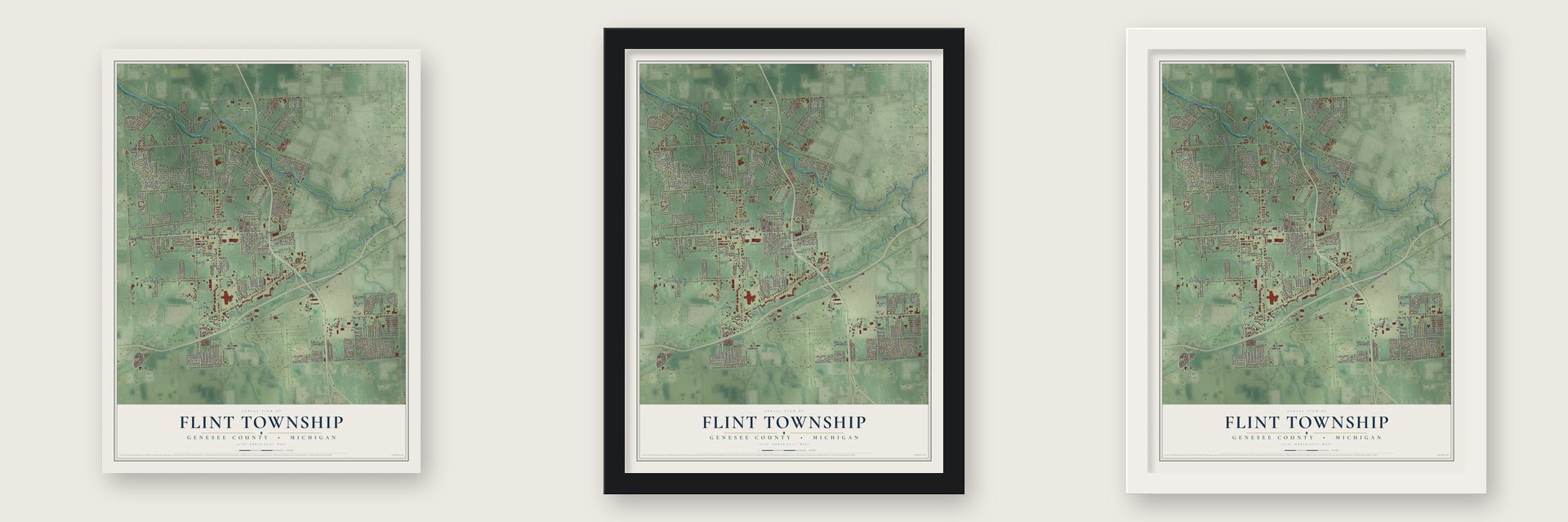
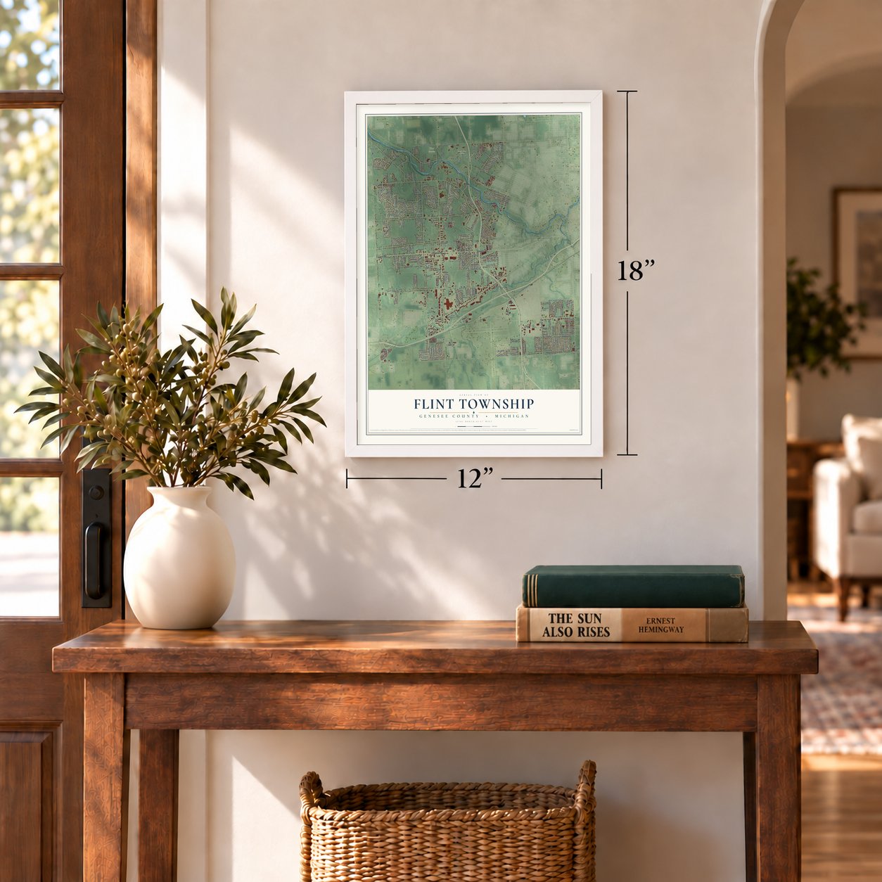
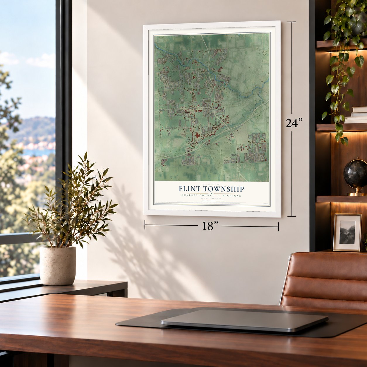
Unframed archival matte, a black wood frame or a white wood frame.
Up close
Geography Worth Displaying
This map was created using accurate cartographic data and authoritative geographic sources, including the U.S. Geological Survey and the Census Bureau. The map brings together terrain, waterways, roads, and building detail. The majority of the streets are labeled, houses are accurately depicted, and the topography is derived from government sources. Combining local data with carefully composed color and shading leads to this beautifully detailed Flint artwork for your wall.
Rather than simply showing street outlines, we’ve included as many of the street names as we could reasonably fit on the map while keeping their names legible. Zoom in on the high resolution preview to see exactly what’s on the map. We truly set out to create a statement piece for anyone who loves Flint. So whether it’s for you, or a gift for someone you love, we hope this map of Flint brings back fond memories.
Read the story behind this map of Flint Township, Michigan from 2026.
Find your street
Names on the Flint map
Every name below is printed on this map. Look for your street, your school, the park where you played, or the pond down the road.
Places and landmarks3
- Flint Township Hall
- Flint Cemetery
- Sunset Hills Cemetery
Streets and roads282
- Corunna Road
- Dutcher Street
- Curtis Drive
- Newport Drive
- Utley Road
- Taft Road
- Lennon Road
- Rue Foret
- Beveridge Road
- Arlene Drive
- Sheraton Drive
- West Maple Avenue
- West Bristol Road
- Beecher Road
- Flushing Road
- South Dye Road
- Linden Road
- West Court Street
- West Lennon Road
- Calkins Road
- Miller Road
- Elms Road
- North Elms Road
- West Pasadena Avenue
- North Linden Road
- South Graham Road
- Van Slyke Road
- Fenton Road
- South Ballenger Highway
- River Road
Show all 282 streets
- Lavelle Road
- Torrey Road
- Pasadena Avenue
- North Dye Road
- West Hemphill Road
- Carmanwood Drive
- Larchmont Street
- Briarcliffe Drive
- Walton Avenue
- East River Road
- Bristolwood Drive
- Brown Street
- Dyemeadow Lane
- West Judd Road
- Ridgecliffe Drive
- Brobeck Street
- Mackin Road
- Boulder Drive
- Nerredia Street
- Westwood Drive
- Hatherly Avenue
- McCollum Avenue
- Charter Drive
- Herrick Street
- Lambden Road
- Thornton Avenue
- Pickwick Place
- Holiday Drive
- Eberly Road
- Augusta Street
- Stonegate Parkway
- Eagle Drive
- Concord Street
- Dye Road
- Corbin Drive
- River Oaks Drive
- Old Farm Road
- Springborrow Drive
- Lancaster Drive
- Flagstone Drive
- Otto Street
- Nedra Avenue
- Ryan Street
- Stonehenge Road
- Jena Lane
- South Shore Drive
- Post Drive
- Norko Drive
- Woodkrest Drive
- Gilbert Street
- Stonebrook Lane
- Exchange Drive
- Old Carriage Road
- Tandy Drive
- Diamond Street
- Hammerberg Road
- Ketzler Drive
- Champagne Drive
- Westchester Drive
- Southgate Drive
- Maplekrest Drive
- Noble Avenue
- Bertha Avenue
- Moulton Drive
- Carter Drive
- Monaco Street
- Van Campen Road
- Timber Lane Drive
- Houran Street
- Trotwood Lane
- Mill Road
- Lincoln Parkway
- Claude Avenue
- Austins Parkway
- Trenton Drive
- Ashlawn Drive
- Murphy Road
- Howald Avenue
- Highfield Avenue
- River Valley Drive
- Heatherwoode Road
- Rainbow Lane
- Autumn Drive
- River Birch Drive
- Sierra Pass
- Jacque Street
- Mitson Boulevard
- Cora Drive
- Roslyn Avenue
- Cabot Drive
- Red Barn Road
- Monticello Drive
- Sun Terrace Drive
- Bernice Avenue
- Oaktree Drive
- Market Place
- Mapletree Drive
- Sulgrave Drive
- Oakridge Drive
- Tuxedo Avenue
- Townview Drive
- Avalon Drive
- Dixon Drive
- Marlene Drive
- Soya Avenue
- Mintola Avenue
- Hull Avenue
- Tahoe Trail
- Warner Road
- Aurora Court
- Meadow Street
- Lodge Road
- Flagler Street
- Sheldon Lane
- Dania Street
- Lynton Avenue
- Canary Drive
- Ox Yoke Drive
- Darby Street
- Swartz Street
- Lask Street
- Keith Drive
- Disch Drive
- Betty Lane
- Norris Drive
- Tokay Drive
- Maria Street
- Covered Wagons Trail
- West Dayton Street
- Blue Grass Lane
- Stratford Street
- Peachwood Drive
- Mount Vernon Pass
- Camelot Drive
- Anoka Street
- Cayuga Trail
- West Williamson Avenue
- Bellwood Drive
- Highland Meadows Drive
- Miami Beach Drive
- Linden Creek Parkway
- Menoutes Drive
- Whispering Oak Drive
- Whitney Avenue
- Royal Club Drive
- Old Colony Drive
- Knottingham Drive
- Hickory Hollow Drive
- Wheatland Drive
- Dye Krest Drive
- Santa Fe Trail
- Country View Lane
- Wheat Way Avenue
- Balmoral Parkway
- Taft Drive
- Walnut Creek Meadows Drive
- Crescentlane Drive
- Grassmere Avenue
- Litchfield Drive
- Royal Crest Drive
- Hillside Drive
- Manwaring Drive
- Sunderland Place
- Radcliffe Avenue
- West Mc Lean Avenue
- Dorellen Avenue
- Ainsworth Street
- Graham Road
- Mill Creek Road
- Drummond Square
- Chissom Trail
- Lenrose Avenue
- Linden Lane
- Beverly Boulevard
- Casaloma Court
- Stephens Avenue
- Will Jo Lane
- Bristol Road
- Vivian Trail
- Southway Drive
- Chatfield Street
- Squire Hill Drive
- Oakwood Drive
- Watch Hill Drive
- Hialeah Drive
- Valley Oaks Drive
- Friend Drive
- Ronnie Street
- Suh Valley
- Mark Street
- Donal Drive
- Reuben Street
- Cascade Avenue
- Maple Creek Drive
- Ward Drive
- Gerard Street
- East Drive
- Painted Post Drive
- Glen Ellyn Drive
- Sipes Lane
- Joy Street
- Path Avenue
- Nandi Hills Trail
- River Forest Drive
- Ramsgate Road
- Saint Martins Drive
- Arlene Avenue
- Brookgate Drive
- Normandy Terrace
- Fleckenstein Drive
- Sussex Lane
- West Dartmouth Street
- Dye Krest Circle
- Commerce Road
- Phillip Avenue
- West Whittemore Avenue
- Redwood Drive
- Yorktown Drive
- Gray Avenue
- Meadowcrest Drive
- Pheasant Run Drive
- Huntington Avenue
- Oakbridge Drive
- Francisco Street
- Renault Drive
- West Potter Road
- Ashford Street
- Rhea Drive
- Warbler Drive
- Ella Drive
- Doyle Road
- Bass Court
- Villa Linde Parkway
- Hogarth Avenue
- Clairmont Street
- Devonshire Street
- Williamsburg Road
- Mapleridge Drive
- Sugarbush Lane
- Wroxton Drive
- Maxwell Drive
- Kingswood Drive
- Beacon Street
- Bridle Path
- Louis Drive
- Maize Avenue
- Riske Drive
- Hougan Drive
- Foxboro Lane
- Talley Drive
- Western Way
- Joal Drive
Names are listed as they appear on the printed map. Zoom into the product photos to find them.
About Flint Township, Michigan
From the History of Genesee County: "When the city was set apart some discussion arose as to which organization should have the custody of the old records, each having claimed them. It was finally determined that Flint township was entitled to them, and they were consequently accorded her."
Keep exploring Michigan
Flint Township is one of 2,030 Michigan towns we've mapped. Every dot on the map is a print of its own.
The search covers every state, Michigan first.
Near Flint Township
Order 2 or more town maps and save 10%. Shown in the size and finish you picked above, so they hang as a set.
- Swartz Creek 12" x 18" / Archival Matte Print $39.99
- City of Flint 12" x 18" / Archival Matte Print $39.99
- Clayton Township 12" x 18" / Archival Matte Print $39.99


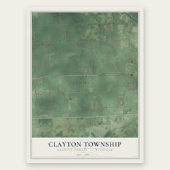
More maps nearby: City of Flushing, Mount Morris Township, Rankin, Mundy and Beecher.
The art of mapping a place
How This Map Was Made
Real places. Remarkable detail. Discover the layers that turn geographic data into a map of home.

The view from above
Aerial imagery reveals the character of the land: woodland, open fields, and the patterns of a place.

The shape of the land
Elevation data brings hills, valleys, and subtle changes in the landscape into view.

The details of home
Roads, waterways, and building footprints come together to make the map feel unmistakably local.

Geography becomes art
Considered color, shading, and typography bring the layers together in a map made for your wall.


Process illustrated with Mendon, Massachusetts. Aerial imagery: USDA NAIP. Terrain: USGS 3D Elevation Program. Map details and finished artwork: KNOWOL.
The Details
About This Print
Choose an archival matte print, or a black or white Ayous wood frame. The archival matte print is unframed.
Select your size and finish above to see the matching product image and price.
Materials & Craftsmanship
A contemporary map with the character of a classic atlas, printed on archival matte paper. Optional frames are made from Ayous wood.
Your printed map does not include the watermark shown in the full-map preview.
Shipping & Delivery
Free shipping within the United States. Every print is made to order in the USA.
Buying a gift? Add a note in your cart and we'll include it. We never put prices in the package.
Prints ship within 2 to 3 business days. Allow 7 to 10 days total from ordering for delivery. Timing may vary during holidays or periods of high order volume.
Read our shipping policy.
Returns and damaged prints
Each print is made to order. Change-of-mind refunds are not available after production.
If your print arrives damaged, misprinted or incorrect, contact support@knowol.com within 30 days of receiving it. Include your order number, photos and a description of the issue.
Read our full refund and replacement policy. For questions about your order, email support@knowol.com.