
Search for another town
Free U.S. delivery 7 to 10 days after you order
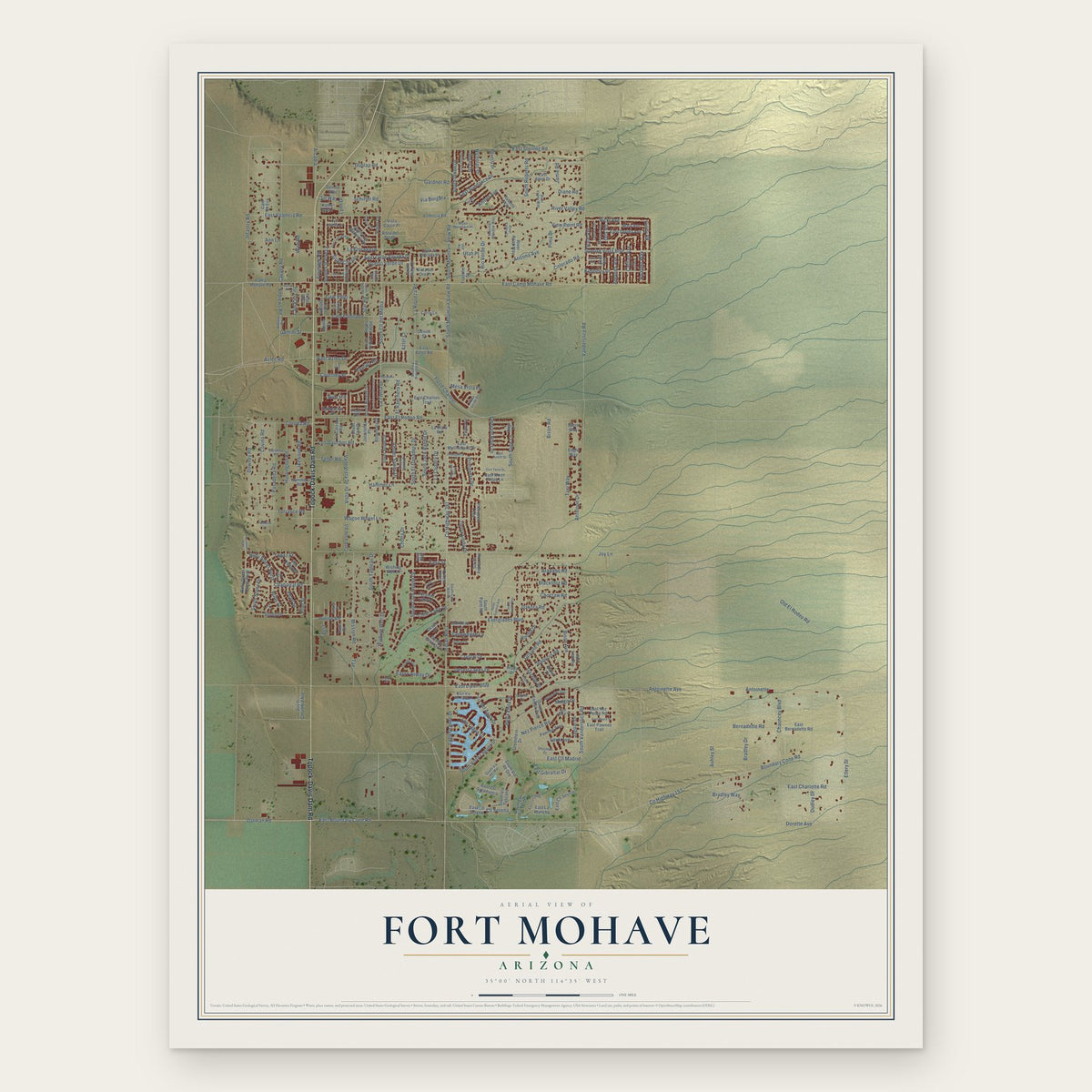
Fort Mohave, Arizona Map Art
Building by building, with labeled streets and shaded relief.
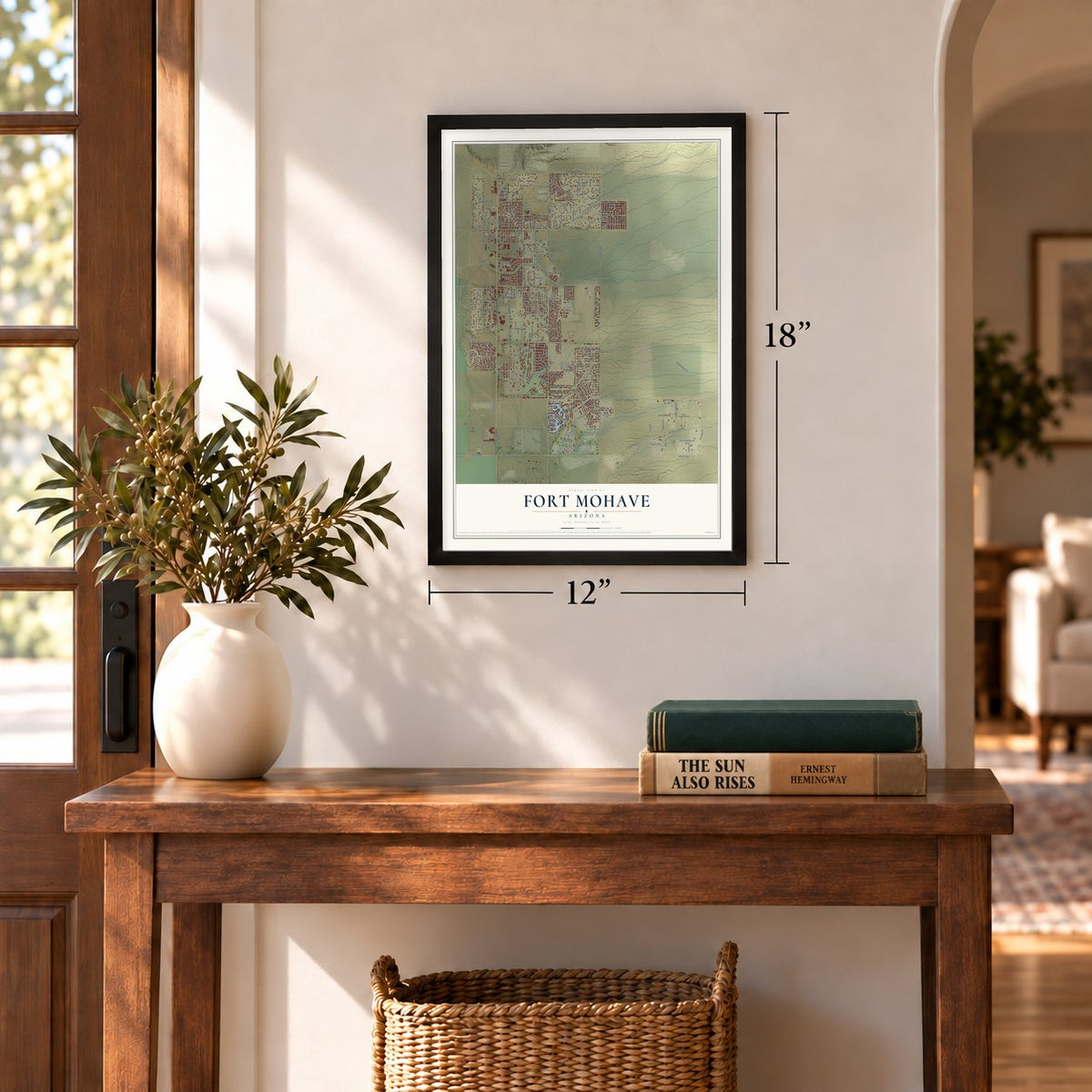
12" x 18" Archival Matte Print
A Map of Home. A Work of Art.
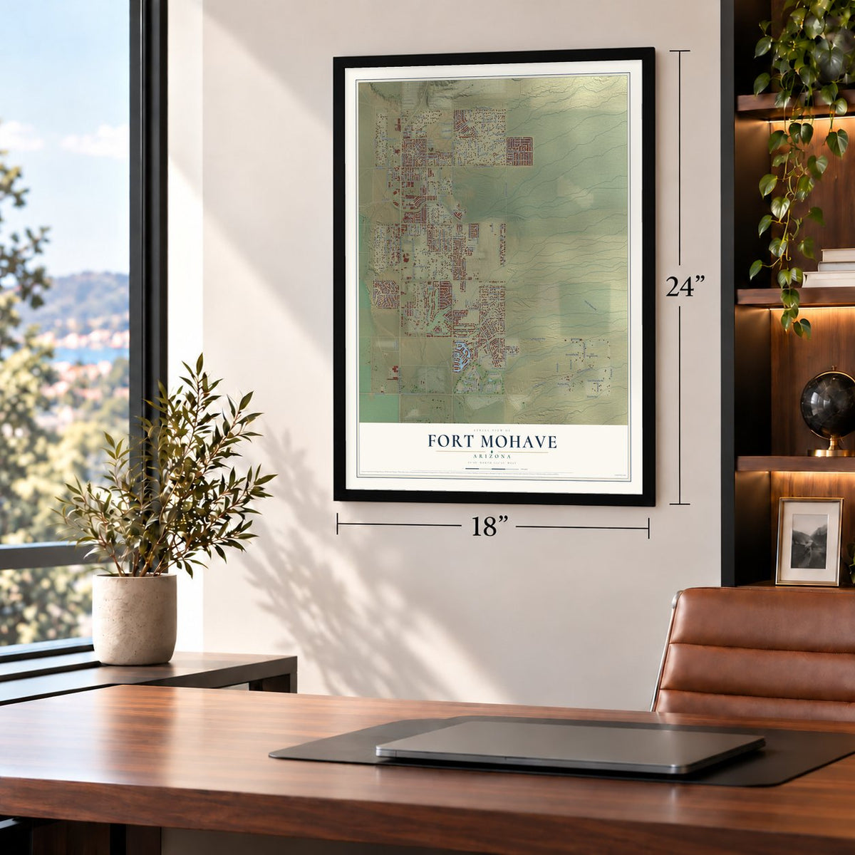
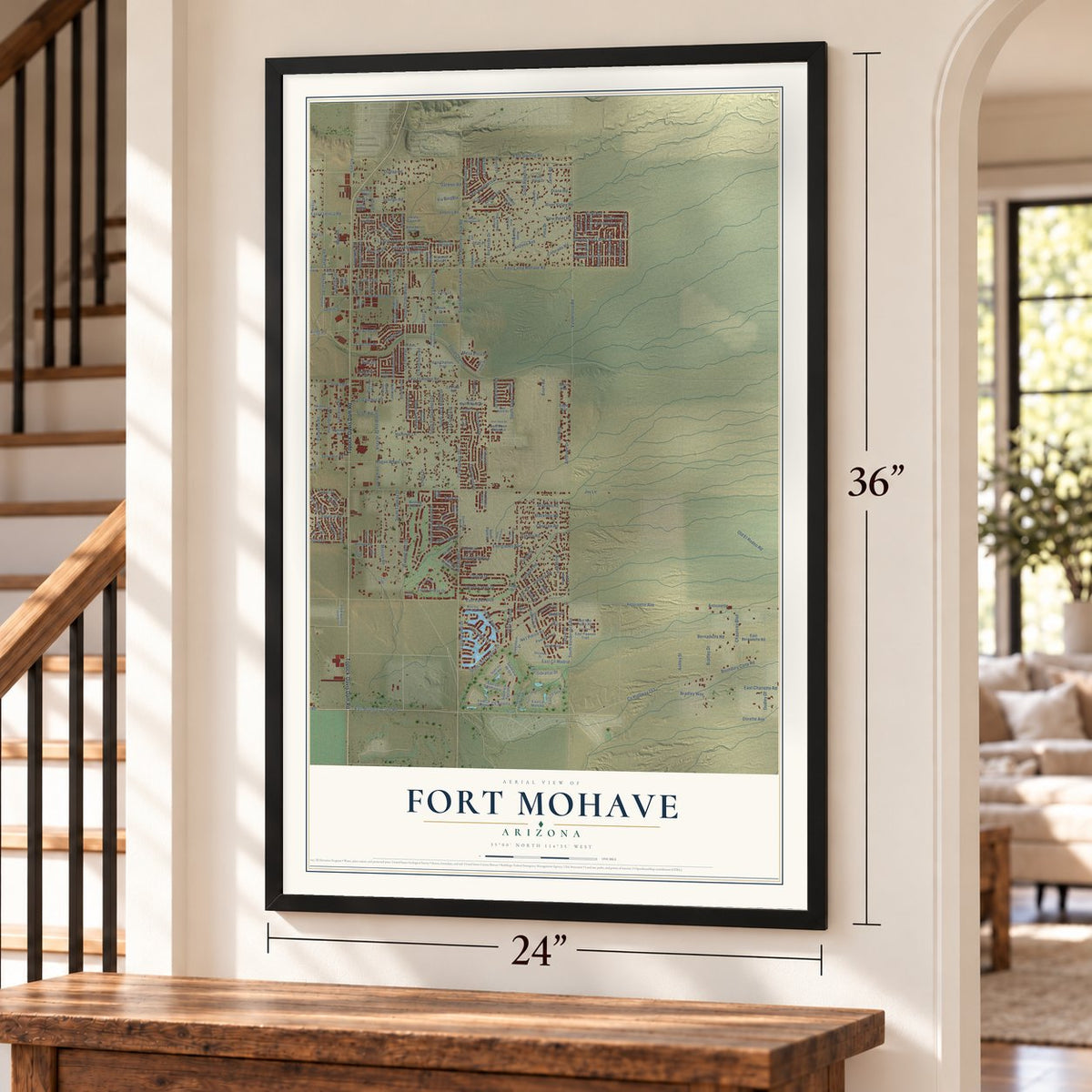
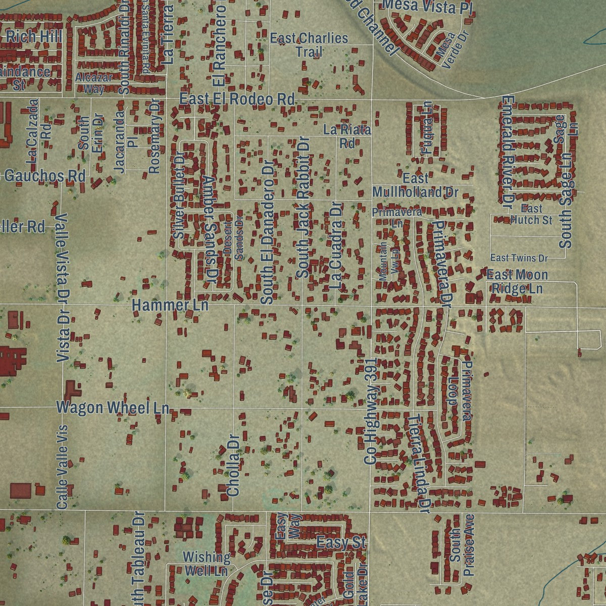
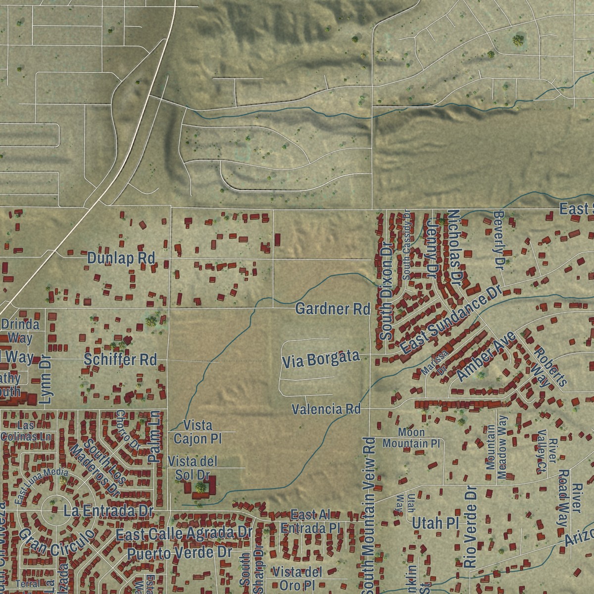
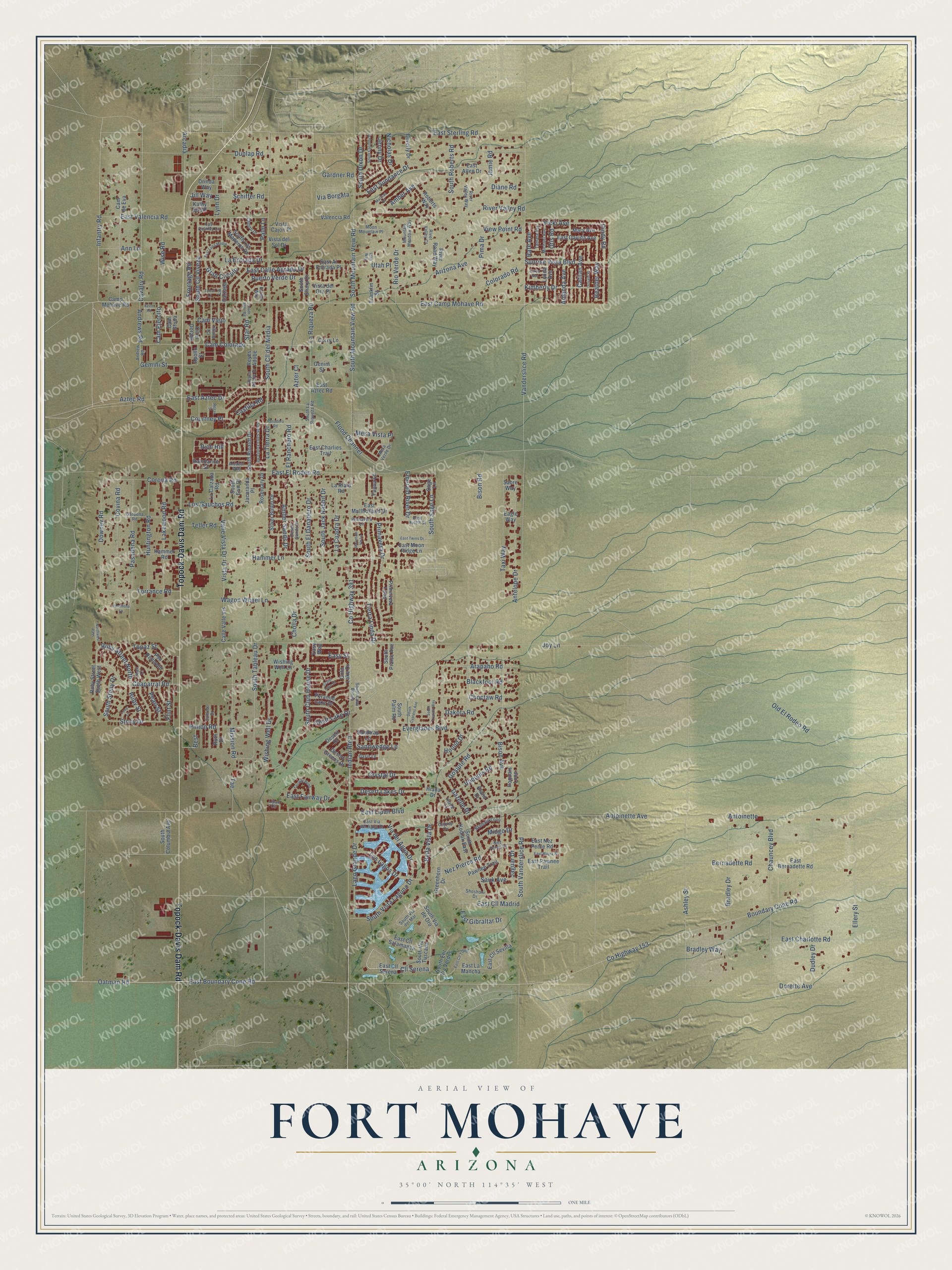
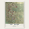
Explore Fort Mohave, Arizona from a whole new perspective. Created using aerial imagery and detailed geographic data, this map captures Fort Mohave building by building, with labeled streets, familiar landmarks, and shaded topographical relief that highlights the natural contours of the landscape.
Combining modern data with the timeless character of a vintage atlas, this map is just as interesting up close as it is beautiful on the wall. Whether you grew up in Fort Mohave, spent memorable years there, or call it home today, this unique map is a great way to celebrate a place that means something to you. Zoom in on the preview to look for your street, and then order a print to put your memories on the wall.
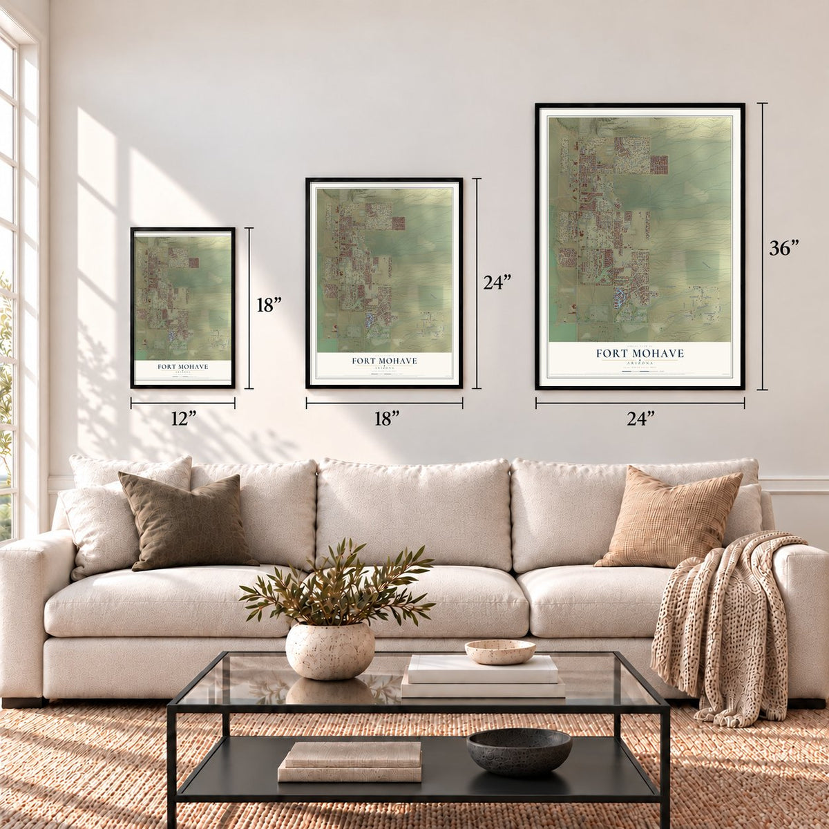
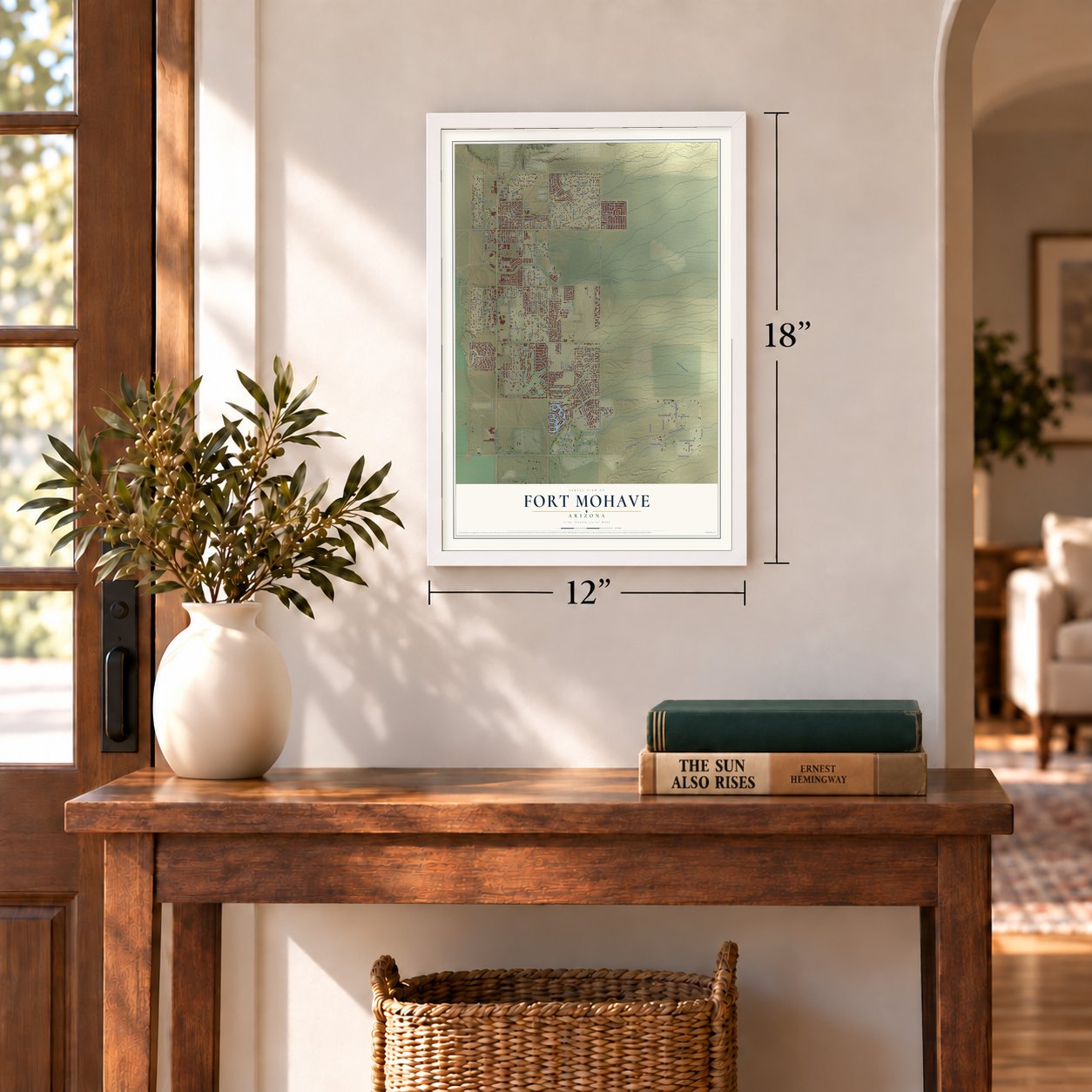
Three ways to hang it
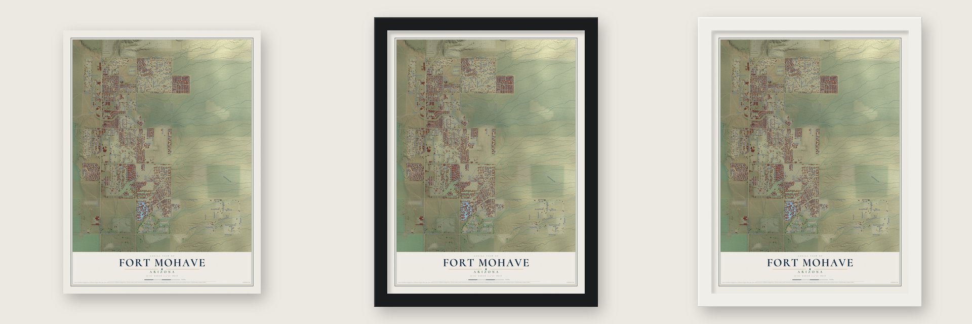
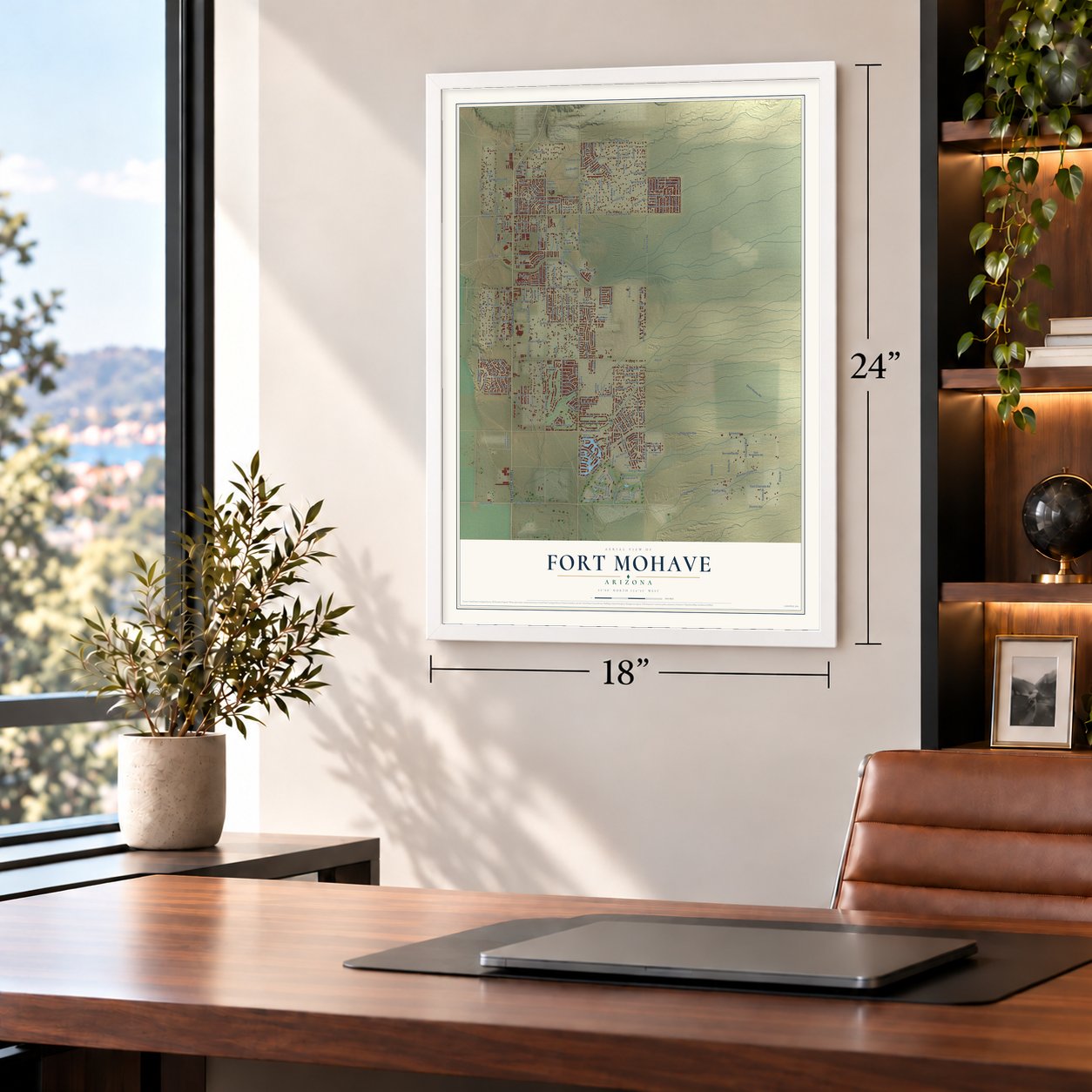
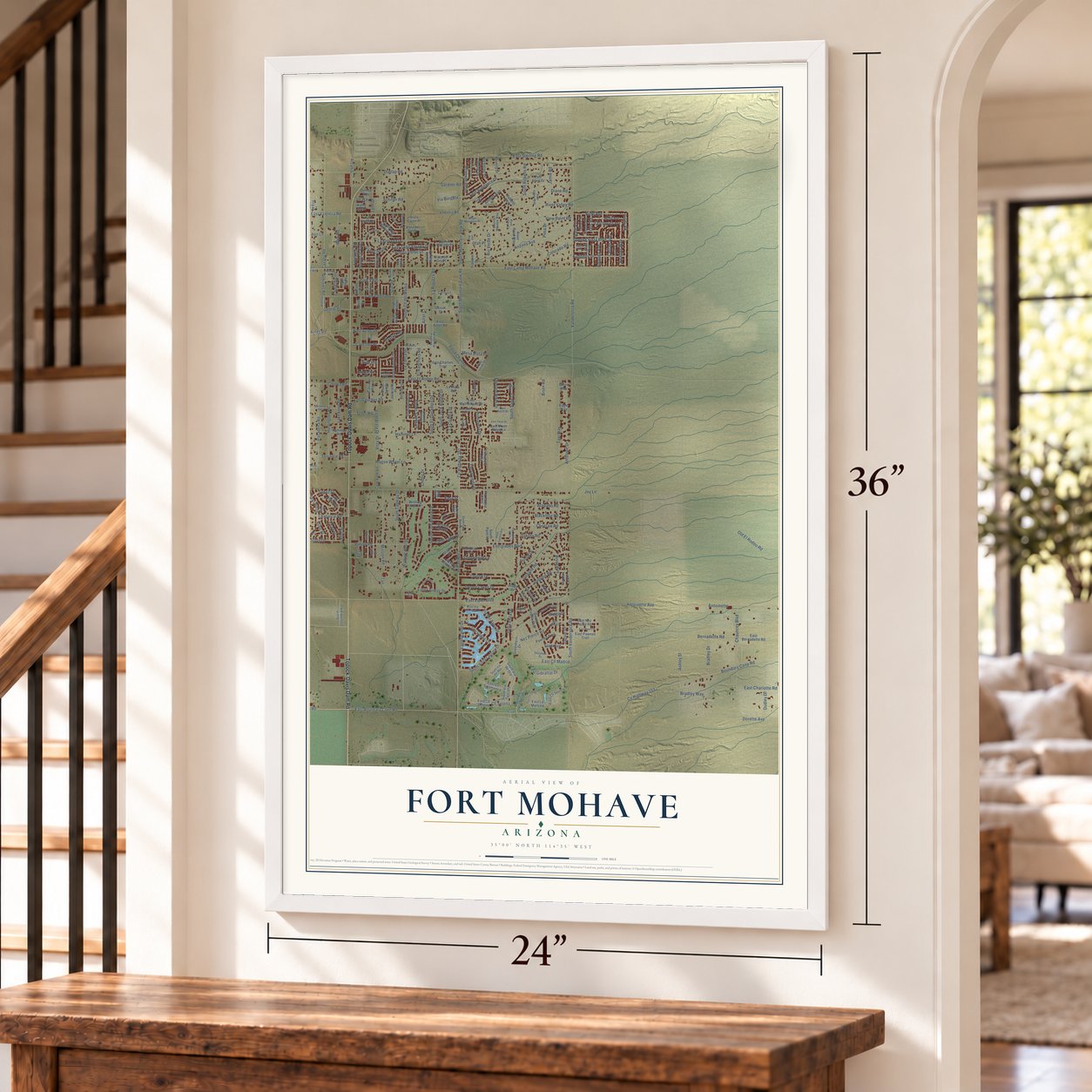
Unframed archival matte, a black wood frame or a white wood frame.
Up close
Geography Worth Displaying
This map was created using accurate cartographic data and authoritative geographic sources, including the U.S. Geological Survey and the Census Bureau. The map brings together terrain, waterways, roads, and building detail. The majority of the streets are labeled, houses are accurately depicted, and the topography is derived from government sources. Combining local data with carefully composed color and shading leads to this beautifully detailed Fort Mohave artwork for your wall.
Rather than simply showing street outlines, we’ve included as many of the street names as we could reasonably fit on the map while keeping their names legible. Zoom in on the high resolution preview to see exactly what’s on the map. We truly set out to create a statement piece for anyone who loves Fort Mohave. So whether it’s for you, or a gift for someone you love, we hope this map of Fort Mohave brings back fond memories.
Read the story behind this map of Fort Mohave, Arizona from 2026.
Find your street
Names on the Fort Mohave map
Every name below is printed on this map. Look for your street, your school, the park where you played, or the pond down the road.
Streets and roads285
- Topock-Davis Dam Road
- Chaparral Road
- Flint Street
- Cll Serena
- Oatman Road
- East Boundary Cone Road
- East Camp Mohave Road
- Ruby Street
- Rich Hill
- Cindy Road
- Jaguar Drive
- Infantry Road
- Vicki Avenue
- Ruby Street North
- Courtney Place
- County Highway 391
- Indian Route 1
- Cavalry Road
- Wishing Well Drive
- South Sage Lane
- Rafe Avenue
- South Mountain View Road
- Stony Drive
- Gemini Street
- Cam Ejercito
- Ellery Street
- Best
- Boundary Cone Road
- County Highway 153
- South Cll del Media
Show all 285 streets
- Joy Lane
- Old El Rodeo Road
- East Sterling Road
- East Lipan Boulevard
- East El Rodeo Road
- Vanderslice Road
- Ashley Street
- Bison Avenue
- Antelope Drive
- Hammer Lane
- Aztec Road
- Desert Lakes Drive
- Wagon Wheel Lane
- Gardner Road
- Frontage Road
- Jamie Road
- Dunlap Road
- River Valley Road
- East Sundance Drive
- South Vanderslice Road
- Flood Channel
- Pasadena Road
- Cam Colorado
- La Tierra Drive
- La Riqueza Road
- Chauncey Boulevard
- Dudley Drive
- Dorette Avenue
- Antoinette
- Antoinette Avenue
- Gazelle Drive
- South Jack Rabbit Drive
- East Valencia Road
- Bradley Drive
- Arizona Avenue
- South Mountain Veiw Road
- Taxi Way
- Bernadette Road
- Cholla Drive
- Mission Road
- South Tableau Drive
- Tierra Linda Drive
- South Club House Drive
- Pinion Road
- Downey Road
- Bella Vista Drive
- Huntington Road
- Covina Road
- Lakewood Road
- Primavera Drive
- Los Gauchos Road
- Lago Grande Drive
- East Calle Agrada Drive
- Nez Pierce Road
- Via del Agua Drive
- Crystal Drive
- East Aztec Drive
- Amanda Avenue
- Iroquois Road
- Wise Road
- East Charlotte Road
- South Cll Viveza
- Sunrise Vista Boulevard
- Amber Avenue
- Torrance Road
- Kimberly Drive
- South Vista Laguna Drive
- La Entrada Drive
- South Roberts Road
- Corona Road
- Colorado Road
- Everglades Boulevard
- Los Lagos Drive
- View Point Road
- La Cuadra Drive
- South El Danadero Drive
- Gosiute Road
- East Fairway Drive
- Arapaho Road
- Choctaw Road
- Arcadia
- Nicholas Drive
- East Cll Madrid
- Amber Sands Drive
- South Dixon Drive
- Puerto Verde Drive
- Blackfoot Road
- Pima Drive
- Cam Viejo
- Dakota Road
- East Gibraltar Drive
- Rio Verde Drive
- Pearl Street
- Valle Vista Drive
- Gran Circulo
- Topaz Street
- Schiffer Road
- Castilla Road
- Emerald River Drive
- El Ranchero Road
- Bison Road
- Jenny Drive
- South Stony Drive
- Clear Lake Drive
- Heather Way
- Sandwedge Lane
- Andrews Road
- Lynn Drive
- Star Road
- Palm Lane
- Vista Drive
- Bradley Way
- Tae
- Mesa Vista Place
- Teller Road
- Diane Road
- Sauk Avenue
- Midgo Drive
- Via Borgata
- Catilan Avenue
- Hound Drive
- Easy Street
- Jill Way
- Utah Place
- Otis Road
- Azter Court
- Ann Lane
- South Via de Oro
- Camp Mohave Road
- East Cll Serena
- East Moon Ridge Lane
- Ruby Street South West
- East Cll Sevilla
- Silver Bullet Drive
- Sandtrap Lane
- Hiada Drive
- Cam Bruda
- Calle Valle Vis
- Pawnee Trail
- East Bernadette Road
- East Al Entrada Place
- Desert Greens Drive
- Hammer Road
- Valencia Road
- East Allen Drive
- South Kodiak East
- Greenhorn Drive
- East La Mancha
- La Riata Road
- South Los Maderos Drive
- Pso Redondo
- Mary Avenue
- Primavera Loop
- Roberts Way
- South Via Tuscana
- Gold Lake Drive
- East Davida Avenue
- Eland Drive
- East Charlies Trail
- South Rinaldi Drive
- Ruth Drive
- Cll el Dorado
- Pyramid Lake Drive
- South Columbia Avenue
- East Mullholland Drive
- East Nez Perce Road
- Iroquois Loop
- South Sharp Drive
- East Pawnee Trail
- East Cll Salamanca
- La Calzada
- Vista del Oro Place
- Corry Lane
- Vista del Sol Drive
- Desert Drive
- La Calzada Road
- Beverly Drive
- South Erin Drive
- Rosemary Drive
- Sage Lane
- Raindance Street
- South Ent Via Verdes
- Wishing Well Lane
- River Road Way
- South Praise Avenue
- Vista Cajon Place
- Jacaranda Place
- Lynda Avenue
- Franklin Street
- Fuqua Lane
- South Palm Road
- East Aztec Road
- Reyes Adobe
- Genini Street
- Cam de Eva
- Sabre Way
- Apollo Street
- Kathy South
- Eagle Way
- Drinda Way
- Easy Way
- Shoshoni Drive
- Andrew Road
- Gardena Road
- Klamath Loop
- Nez Perce Court
- Sunrise Drive
- Cll Amigo
- Primavera Lane
- South Casa Bonita
- Tamara Terrace
- Michael Avenue
- Alcazar Way
- South Via del Mar
- Desert Sands Drive
- Mountain Meadow Way
- Moon Mountain Place
- East Hutch Street
- East Via del Agua Drive
- Mesa Verde Drive
- Chorro Drive
- South La Riqueza Road
- River Valley Way
- Las Colinas Lane
- Reyes Adobe Drive
- River Valley Court
- Oasis Lane
- Lipan Circle
- Osprey Cv
- Estado Way
- Hiada Lane
- Pearl Court
- East Twins Drive
- East Luna Media
- East Cll Toledo
- South Santa Evinita Road
- South Cassidy Drive
- Panadero Road
- South Starr Road
- Marissa Drive
- Fairway Bend
- East Mayra Street
- Crater Lake Drive
- Mountain Vw Lp
- South Cypress Avenue
- Northwest Pass
- Loop Lane
- Terral Lane
- South Trevino Way
- Curtis Way
- Pasadena Lane
- Donald Place
- Regan Street
- Keem Road
- Utah Way
Names are listed as they appear on the printed map. Zoom into the product photos to find them.
About Fort Mohave, Arizona
Fort Mohave is a community of 16,190 people in Mohave County, on Arizona State Route 95 just south of Bullhead City. It is named for an Army post built nearby during the Mohave War. The Mohave people had lived on this land for centuries before the soldiers came. The town has grown fast, from 8,919 people in 2000 to 14,364 in 2010, and it is now the largest unincorporated community in the county.
When the Civil War began in April 1861, the Army left the post. Its soldiers went to guard Southern California against secession. California volunteers came back in May 1863. Company B of the 4th California Infantry stayed six months, and Company I stayed until March 1865. Then Company C of the 7th California Infantry took over. Regular troops returned in 1866 and stayed until September 29, 1890. On that day, by order of President Benjamin Harrison, the post went to the Indian Service. That agency gave it up in 1935, and the grounds of the old fort now lie within the Fort Mojave Indian Reservation.
- People by the RiverSpanish explorer Melchor Díaz was the first European known to reach this area. In 1540 he wrote about meeting many native people who called themselves the Pipa Aha Macav, the "People by the River." The Spanish turned Aha Macav into Mojave, and English also spells it Mohave. The town uses Mohave, but the tribe keeps the Spanish spelling, Mojave.
- A hospital opened in 2005Valley View Medical Center opened in Fort Mohave in 2005. It is now the town's largest employer. The 102,000-square-foot hospital has 38 medical and surgical beds and 10 rehab beds. It also has a six-bed intensive care unit, a six-bed unit for having babies and four major operating rooms. In 2010 it announced plans to make its emergency room bigger.
- A solar plant in 2013In 2013 a solar power plant was built in Fort Mohave, east of Vanderslice Road. Its panels cover more than 200 acres.
- Seats for 5,000The Mojave Crossing Event Center hosts big indoor events for all of Mohave County. No larger stadium stands within 90 miles. It seats 3,000 people in stadium style, or 5,000 when set up as an arena.
Keep exploring Arizona
Fort Mohave is one of 528 Arizona towns we've mapped. Every dot on the map is a print of its own.
The search covers every state, Arizona first.
Near Fort Mohave
Order 2 or more town maps and save 10%. Shown in the size and finish you picked above, so they hang as a set.
- Mesquite Creek 12" x 18" / Archival Matte Print $39.99
- Mojave Ranch Estates 12" x 18" / Archival Matte Print $39.99
- Willow Valley 12" x 18" / Archival Matte Print $39.99

More maps nearby: Mohave Valley, Fort Mojave Indian Tribe, Bullhead City, Arizona Village and Oatman.
The art of mapping a place
How This Map Was Made
Real places. Remarkable detail. Discover the layers that turn geographic data into a map of home.

The view from above
Aerial imagery reveals the character of the land: woodland, open fields, and the patterns of a place.

The shape of the land
Elevation data brings hills, valleys, and subtle changes in the landscape into view.

The details of home
Roads, waterways, and building footprints come together to make the map feel unmistakably local.

Geography becomes art
Considered color, shading, and typography bring the layers together in a map made for your wall.


Process illustrated with Mendon, Massachusetts. Aerial imagery: USDA NAIP. Terrain: USGS 3D Elevation Program. Map details and finished artwork: KNOWOL.
The Details
About This Print
Choose an archival matte print, or a black or white Ayous wood frame. The archival matte print is unframed.
Select your size and finish above to see the matching product image and price.
Materials & Craftsmanship
A contemporary map with the character of a classic atlas, printed on archival matte paper. Optional frames are made from Ayous wood.
Your printed map does not include the watermark shown in the full-map preview.
Shipping & Delivery
Free shipping within the United States. Every print is made to order in the USA.
Buying a gift? Add a note in your cart and we'll include it. We never put prices in the package.
Prints ship within 2 to 3 business days. Allow 7 to 10 days total from ordering for delivery. Timing may vary during holidays or periods of high order volume.
Read our shipping policy.
Returns and damaged prints
Each print is made to order. Change-of-mind refunds are not available after production.
If your print arrives damaged, misprinted or incorrect, contact support@knowol.com within 30 days of receiving it. Include your order number, photos and a description of the issue.
Read our full refund and replacement policy. For questions about your order, email support@knowol.com.