
Search for another town

Free U.S. delivery 7 to 10 days after you order
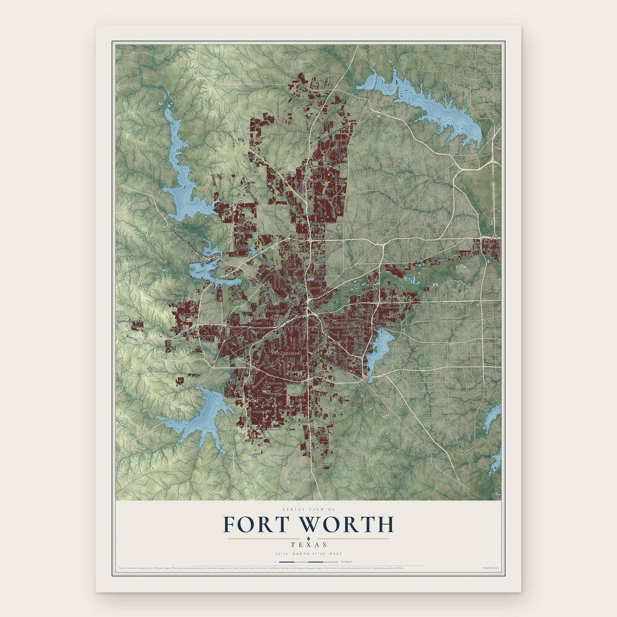
Fort Worth, Texas Map Art
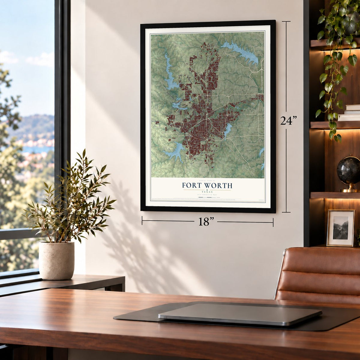
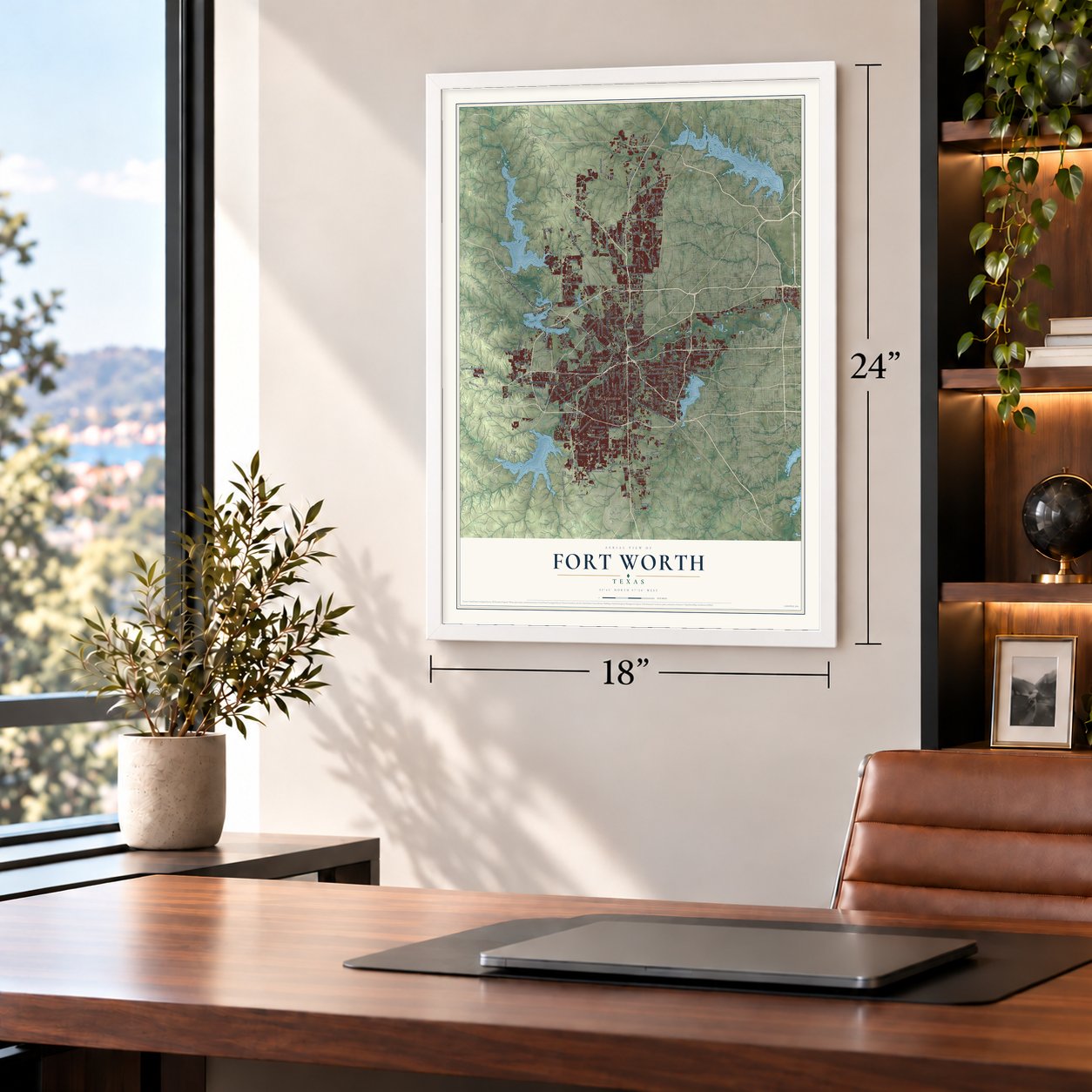
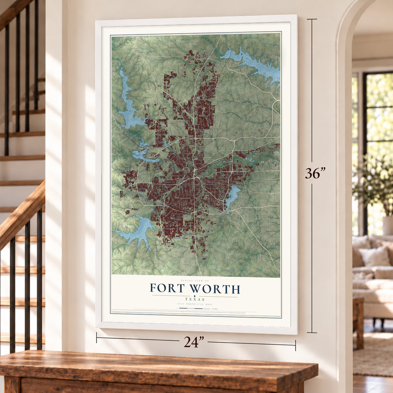
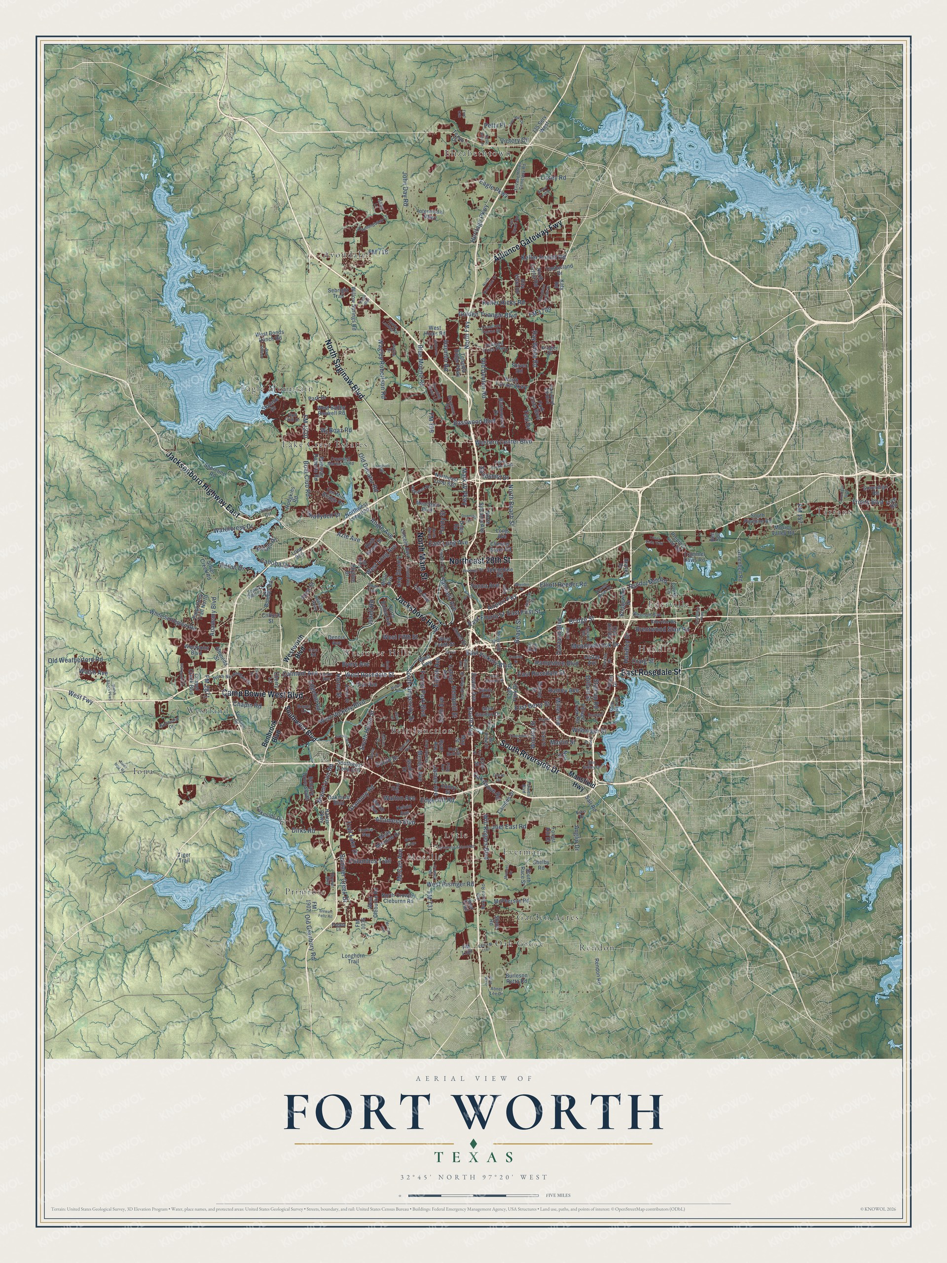
A new map of Fort Worth, Texas, made in 2026 and printed to order on thick archival matte paper.
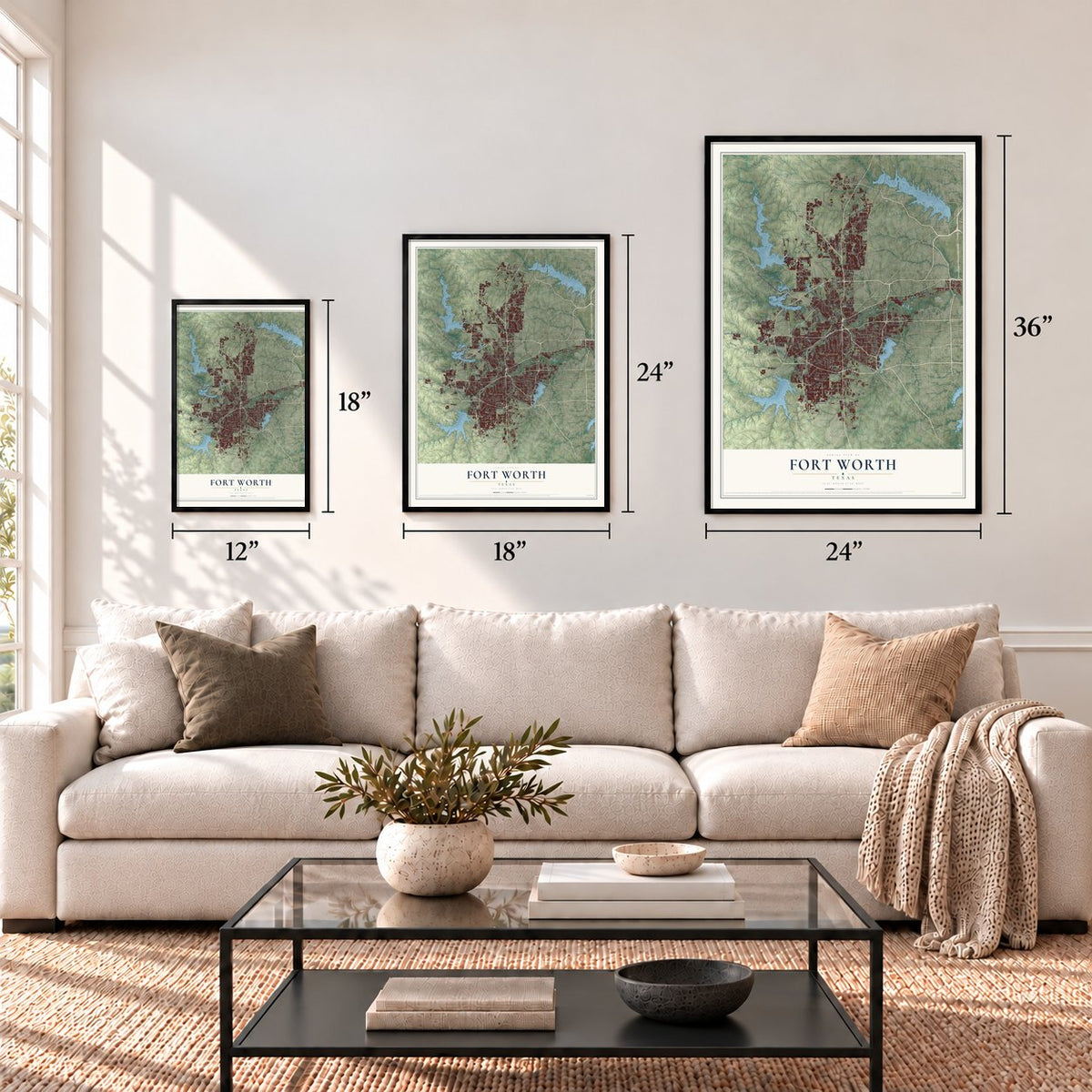
12" x 18" Archival Matte Print
A Map of Home. A Work of Art.
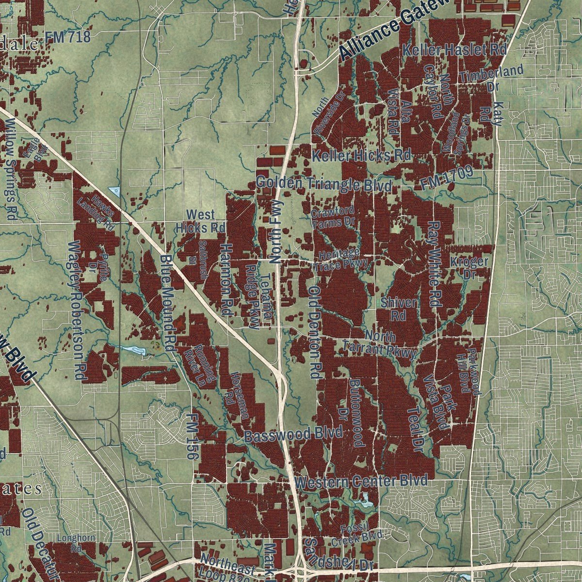
This beautifully detailed map of Fort Worth, Texas was created in 2026 using aerial imagery combined with modern topographical, census, street and landmark data. It's a modern aerial view of Fort Worth in Tarrant County, Texas, that combines modern data with a vintage aesthetic. Zoom in on the preview and look for your block.
Three ways to hang it
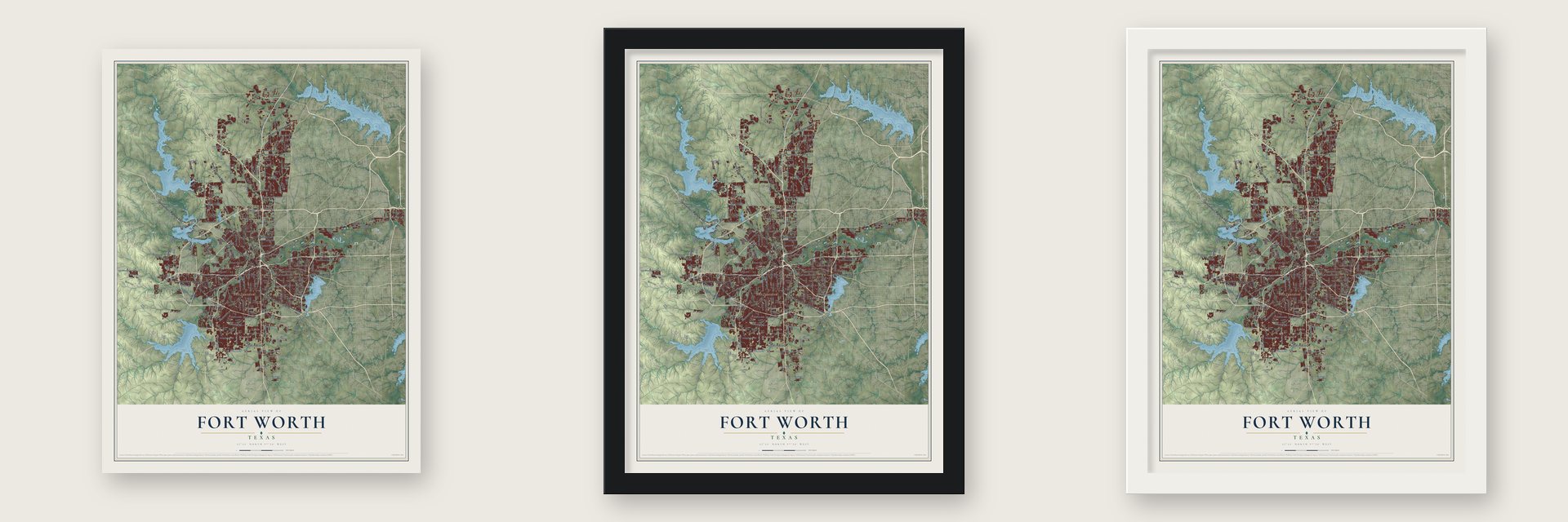
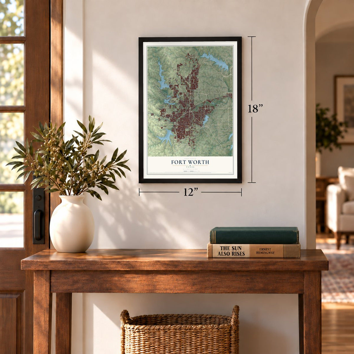
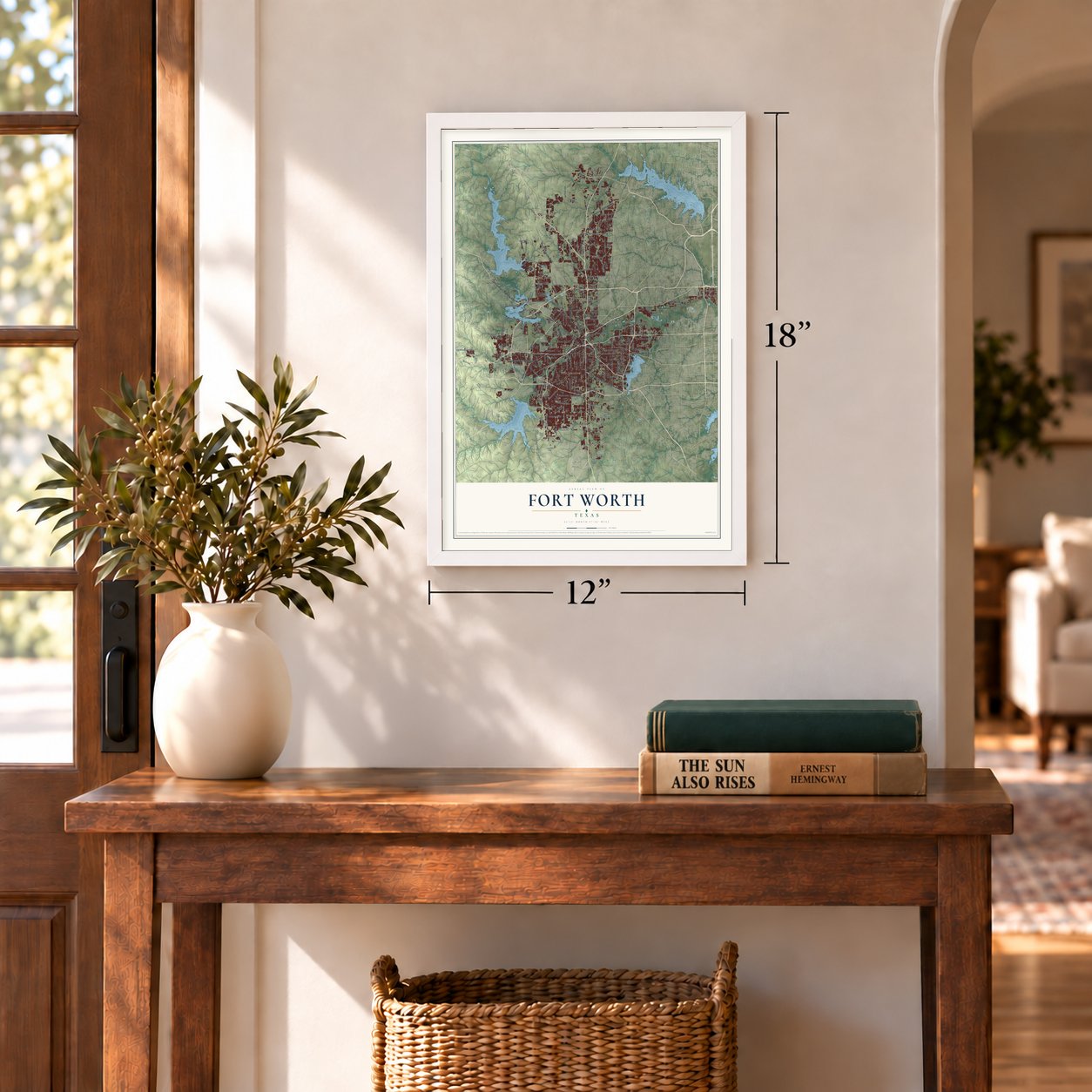
Unframed archival matte, a black wood frame or a white wood frame.
Up close
Real geography. Art worth displaying.
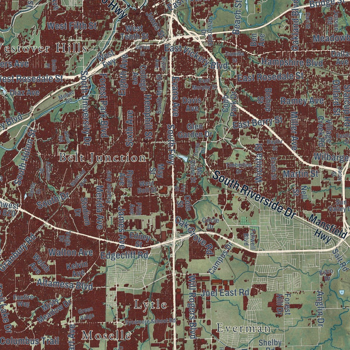
This map was created using accurate cartographic data and authoritative geographic sources, including the U.S. Geological Survey and the Census Bureau. The map brings together terrain, waterways, roads, and building detail. The majority of the streets are labeled, houses are accurately depicted, and the topography is derived from government sources. Combining local data with carefully composed color and shading leads to this beautifully detailed Fort Worth artwork for your wall.
Rather than simply showing street outlines, we’ve included as many of the street names as we could reasonably fit on the map while keeping their names legible. Zoom in on the high resolution preview to see exactly what’s on the map. We truly set out to create a statement piece for anyone who loves Fort Worth. So whether it’s for you, or a gift for someone you love, we hope this map of Fort Worth brings back fond memories.
Read the story behind this map of Fort Worth, Texas from 2026.
About Fort Worth, Texas
Fort Worth began in 1849 as a military post above the Trinity River. Its later development was closely tied to cattle drives, rail service, and the Stockyards. The city is also home to the Van Cliburn International Piano Competition and several museums designed by contemporary architects.
- Population in 2020The Census Bureau recorded 918,915 residents in Fort Worth in 2020.
- Named for General WorthThe 1849 post honored Major General William Jenkins Worth, who had proposed a chain of forts along the Texas frontier.
- Railroad Turning PointThe Texas and Pacific Railway reached Fort Worth in 1876, helping make the Stockyards a prominent center for cattle trading.
- Panther CityResidents embraced the Panther City name after an 1875 newspaper story claimed a panther slept near the courthouse.
- Early Golf CoursesFort Worth Country Club opened the city's first golf course in late 1903, and River Crest Country Club followed in 1911.
Find your street
Names on the Fort Worth map
Every name below is printed on this map. Look for your street, your school, the park where you played, or the pond down the road.
Places and landmarks18
- Avondale
- Belt Junction
- Eagle Mountain
- Ederville
- Elizabethtown
- Everman
- Garden Acres
- Handley
- Iona
- Lake Crest Estates
- Lytle
- Moselle
Show all 18 places
- Oak Grove
- Primrose
- Rendon
- Tarrant
- Westland
- Westover Hills
Streets and roads327
- North Main Street
- South Riverside Drive
- East Rosedale Street
- North Saginaw Boulevard
- Jacksboro Highway
- Camp Bowie West Boulevard
- Alliance Gateway Fwy
- Jacksonboro Highway East
- Northeast 28th Street
- South Fwy
- Randol Mill Road
- Blue Mound Road
- West Vickery Boulevard
- West Rosedale Street
- Wichita Street
- Miller Avenue
- East First Street
- Eighth Avenue
- East Fourth Street
- West Fifth Street
- Oakland Boulevard
- Forest Park Boulevard
- Ray White Road
- Columbus Trail
- Old Denton Road
- Old Granbury Road
- Golden Triangle Boulevard
- Trinity Boulevard
- North Beach Street
- South Hulen Street
Show all 327 streets
- Altamesa Boulevard
- McCart Avenue
- East Berry Street
- FM 1220
- FM 156
- Basswood Boulevard
- North Fwy
- Bryant Irvin Road
- Hemphill Street
- Meadowbrook Drive
- West Risinger Road
- East Long Avenue
- Western Center Boulevard
- Oak Grove Road
- Granbury Road
- Boat Club Road
- Old Weatherford Road
- Brentwood Stair Road
- Trail Lake Drive
- Calmont Avenue
- West Fwy
- South University Drive
- West Long Avenue
- Victory Circle
- FM 731
- Harmon Road
- Mark IV Parkway
- Summer Creek Drive
- Eagle Parkway
- Angle Avenue
- Sixth Avenue
- Heritage Parkway
- Cahoba Drive
- Keller Hicks Road
- Old Decatur Road
- Chapin Road
- Airport Fwy
- Heron Drive
- Bridge Street
- Azle Avenue
- Watercress Drive
- Will Rogers Boulevard
- Evans Avenue
- Keller Haslet Road
- Wagley Robertson Road
- East Vickery Boulevard
- Wilbarger Street
- Ramey Avenue
- James Avenue
- FM 718
- South Drive
- Martin Street
- Litsey Road
- Lee Avenue
- Merida Avenue
- Craig Street
- John Day Road
- Sandshell Drive
- Walton Avenue
- Academy Boulevard
- Wj Boaz Road
- FM 2871
- Horne Street
- Dirks Road
- Elliott Reeder Road
- Handley Drive
- Beach Street
- Shadydell Drive
- Yucca Avenue
- Samuels Avenue
- Hampshire Boulevard
- Byers Avenue
- Edgehill Road
- Stalcup Road
- Loving Avenue
- FM 1709
- Joel East Road
- Edgecliff Road
- Walsh Avenue
- Teal Drive
- Dillard Street
- Hardy Street
- Anglin Drive
- Isbell Road
- Petty Place
- FM 157
- First Street
- Westworth Boulevard
- Mansfield Highway
- Southwest Boulevard
- Benbrook Boulevard
- West Bonds Ranch Road
- Glen Garden Drive
- West Tenth Street
- Stone Road
- West Hicks Road
- Cole Street
- Park Vista Boulevard
- White Settlement Road
- North Tarrant Parkway
- West Cleburne Road
- Bellaire Drive South
- North Sylvania Avenue
- Meacham Boulevard
- Campus Drive
- Chapel Creek Boulevard
- Ten Mile Bridge Road
- College Avenue
- Cooks Lane
- Shoreline Road
- Southwest Loop 820
- Willow Springs Road
- Alta Vista Road
- Westpoint Boulevard
- May Street
- Silver Creek Road
- Northwest Loop 820
- Lincoln Avenue
- Oakmont Boulevard
- South Pipeline Road
- Stadium Drive
- Bowman Roberts Road
- FM 1902
- Jones Street
- Rendon Road
- Trammel Davis Road
- Village Creek Road
- Northeast Loop 820
- Cobb Park Drive
- Shiver Road
- Ryan Avenue
- Alemeda Street
- Greenbelt Road
- Deen Road
- North Crowley Cleburne Road
- Timberland Drive
- Precinct Line Road
- FM 1187
- West Bailey Boswell Road
- Bomber Road
- Welch Avenue
- Lakeside Drive
- Tehama Ridge Parkway
- Park Drive
- Bishop Street
- Gravel Drive
- Loop 820
- Mosier Valley Road
- Diaz Avenue
- Bridgewood Drive
- Paint Pony Trail North
- McPherson Road
- FM 1035
- Clifford Street
- Texan Drive
- Katy Road
- Longhorn Trail
- South Race Street
- Misty Meadow Drive
- Shelby Road
- Buttonwood Drive
- Burleson Retta Road
- North Bailey Avenue
- Davis Avenue
- Malaga Drive
- Forest Hill Drive
- North Caylor Road
- Sovereign Road
- Harris Parkway
- I35 Serv West
- Intermodal Parkway
- Chesser Boyer Road
- Frye Road
- Cherry Lane
- Love Circle
- Skylake Drive
- Dallas Avenue
- Springdale Road
- Nell Street
- Hodgkins Road
- Long Avenue
- Rock Island Street
- Kroger Drive
- Oak Hill Road
- Kelvin Avenue
- Sebright Trail
- Deer Trail
- Skyline Drive
- Ben Avenue
- Dennis Avenue
- Edney Street
- Salt Road
- Lucas Drive
- Belle Avenue
- Tiger Trail
- Bell Spr
- Heritage Trace Parkway
- South Main Street
- Abner Lee Drive
- Military Parkway
- Pyrite Drive
- Fifth Avenue
- Ederville Road
- Locke Avenue
- Frazier Avenue
- Fossil Creek Boulevard
- Cromwell Marine Cr Road
- Gould Avenue
- West Bolt Street
- Riverside Drive
- Anderson Boulevard
- Vega Drive
- Circle Drive
- Diamondback Lane
- Elizabethtown Cemetery Road
- Haltom Road
- North Normandale Street
- Erath Street
- Parkwood Hill Boulevard
- Old Burleson Road
- Hervie Street
- Crawford Farms Drive
- Shore View Drive
- Folwell Boulevard
- Running River Lane
- Horseman Road
- Canton Drive
- Railhead Road
- Brewer Boulevard
- Golf Club Drive
- Frontage Road
- Northview Drive
- Lost Spurs Road
- Forest River Drive
- Jenson Road
- Mc Clure Street
- Sun Valley Drive
- Brants Lane
- Foxfire Way
- Capri Drive
- Fogata Lane
- Gilley Lane
- Quail Trail
- Esco Drive
- Inca Road
- Sycamore School Road
- Eastchase Parkway
- Walsh Ranch Parkway
- North Riverside Drive
- Crowley Road
- Arborlawn Drive
- Bryan Avenue
- Decatur Avenue
- Eastland Street
- Lone Star Circle
- Stewart Feltz Road
- East FM 1187
- Longhorn Road
- Timberline Drive
- Belle Place
- South Cravens Road
- Baylor Street
- Watauga Road
- Carey Street
- American Boulevard
- East Morphy Street
- North Elm Street
- Woodland Springs Drive
- Mopac Road
- Eagle Boulevard
- Saltbrush Street
- Wakecrest Drive
- Trinity Vista Trail
- Hawks Landing Road
- Eagle Drive
- Wheeler Street
- Winfield Avenue
- San Simeon
- Sarita Drive
- Three Wide Drive
- Downing Drive
- Alton Road
- Mc Cart Avenue
- Green Ridge
- Laredo Drive
- Michael Drive
- Wing Way
- Aledo Iona Road
- Camilla Street
- Autumn Drive
- Carl Street
- Yuma Drive
- Fry Street
- Green Teal Street
- Nixon Street
- Jarvis Street
- Ford Oak
Names are listed as they appear on the printed map. Zoom into the product photos to find them.
The art of mapping a place
How This Map Was Made
Real places. Remarkable detail. Discover the layers that turn geographic data into a map of home.

The view from above
Aerial imagery reveals the character of the land: woodland, open fields, and the patterns of a place.

The shape of the land
Elevation data brings hills, valleys, and subtle changes in the landscape into view.

The details of home
Roads, waterways, and building footprints come together to make the map feel unmistakably local.

Geography becomes art
Considered color, shading, and typography bring the layers together in a map made for your wall.


Process illustrated with Mendon, Massachusetts. Aerial imagery: USDA NAIP. Terrain: USGS 3D Elevation Program. Map details and finished artwork: KNOWOL.
The Details
About This Print
Choose an archival matte print, or a black or white Ayous wood frame. The archival matte print is unframed.
Select your size and finish above to see the matching product image and price.
Materials & Craftsmanship
A contemporary map with the character of a classic atlas, printed on archival matte paper. Optional frames are made from Ayous wood.
Your printed map does not include the watermark shown in the full-map preview.
Shipping & Delivery
Free shipping within the United States. Every print is made to order in the USA.
Buying a gift? Add a note in your cart and we'll include it. We never put prices in the package.
Prints ship within 2 to 3 business days. Allow 7 to 10 days total from ordering for delivery. Timing may vary during holidays or periods of high order volume.
Read our shipping policy.
Returns and damaged prints
Each print is made to order. Change-of-mind refunds are not available after production.
If your print arrives damaged, misprinted or incorrect, contact support@knowol.com within 30 days of receiving it. Include your order number, photos and a description of the issue.
Read our full refund and replacement policy. For questions about your order, email support@knowol.com.
Find your town
Looking for another city?
Find a map of home in our Texas collection, or any town in the country.
Nearby
Maps of towns near Fort Worth
Know someone from one of these towns? Their map makes a great gift.
 River Oaks
, Texas
From $39.99See the map
 Sansom Park
, Texas
From $39.99See the map
 Westover Hills
, Texas
From $39.99See the map
More maps nearby: Westworth Village, Blue Mound, Haltom City, Lake Worth and Saginaw.