
Search for another town
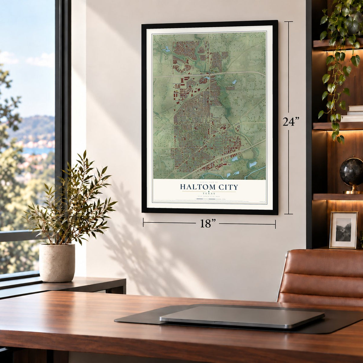
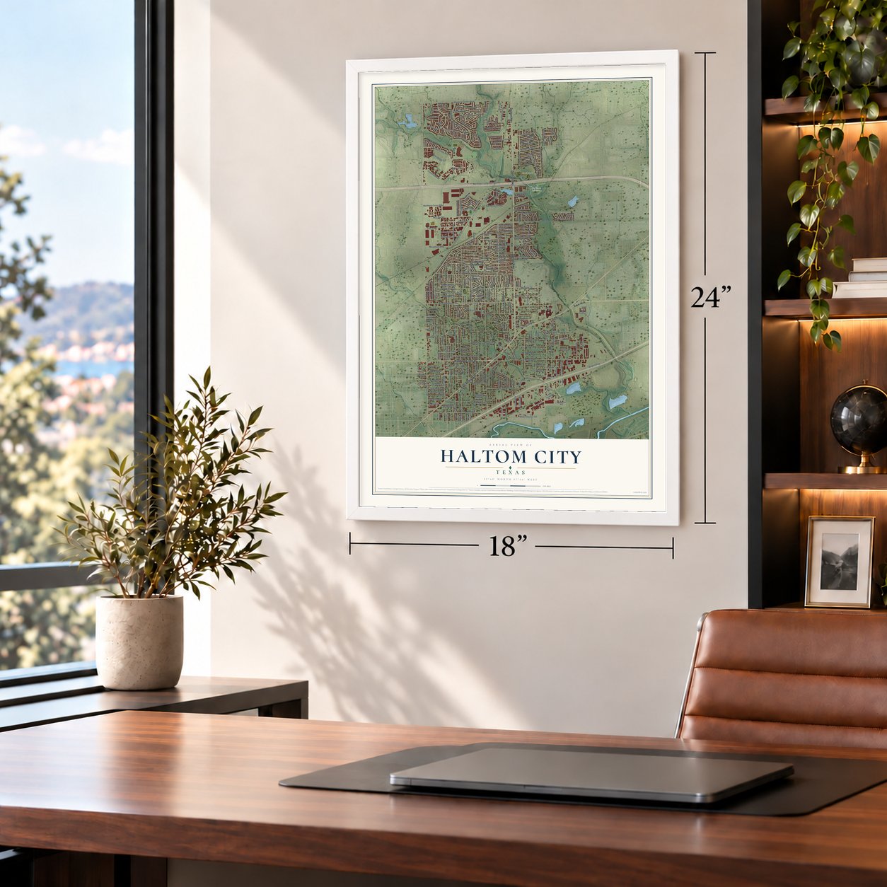
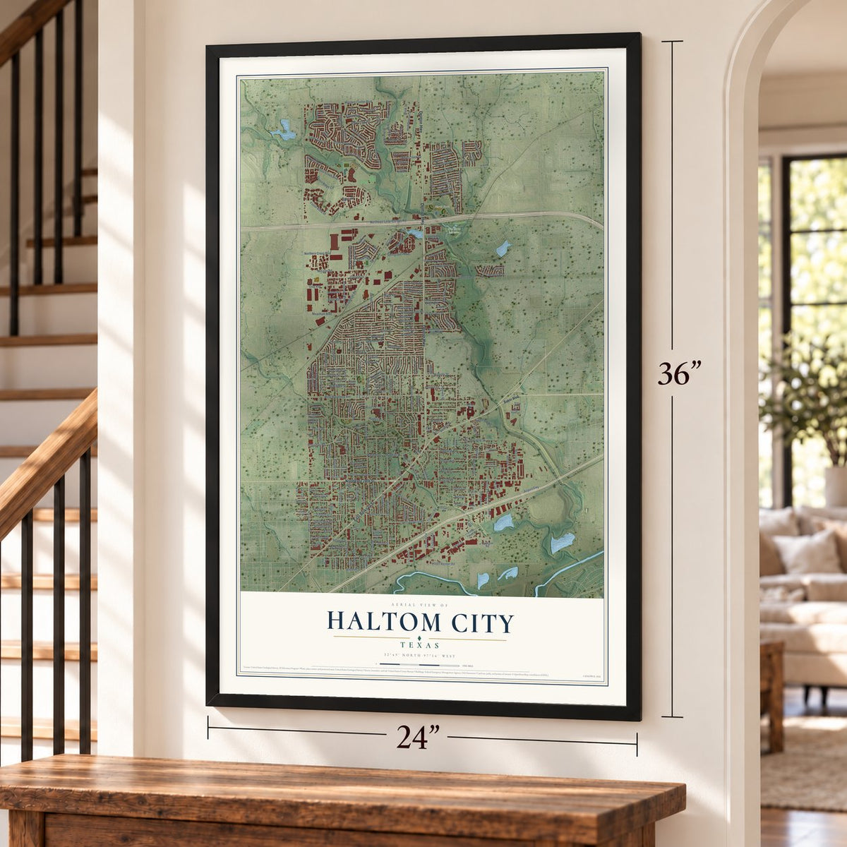
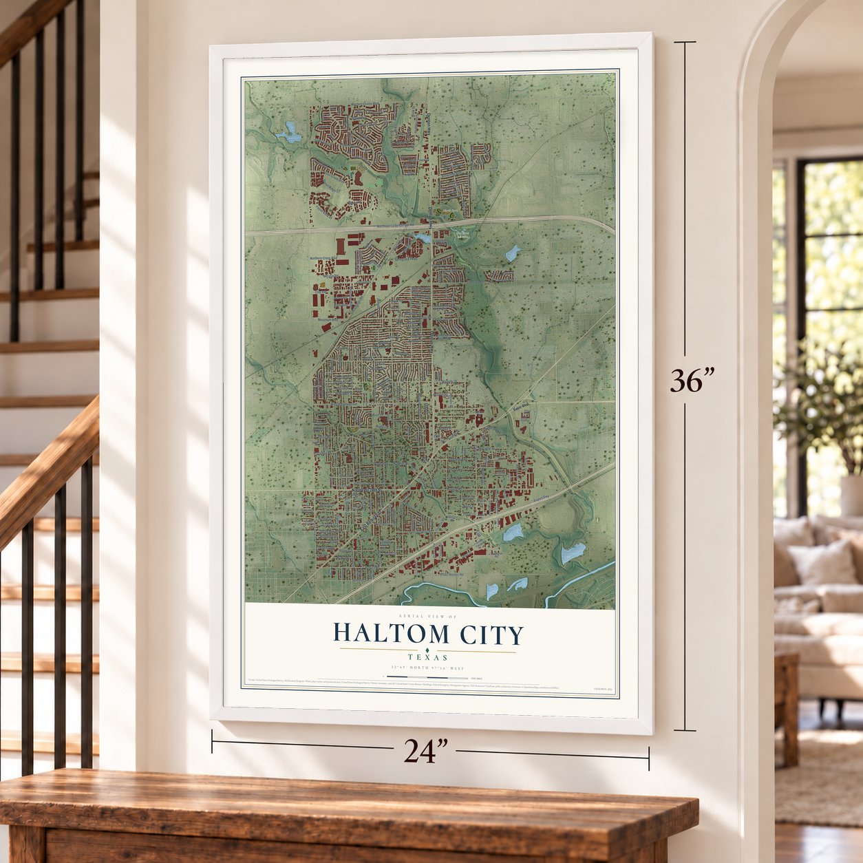
Free U.S. delivery 7 to 10 days after you order
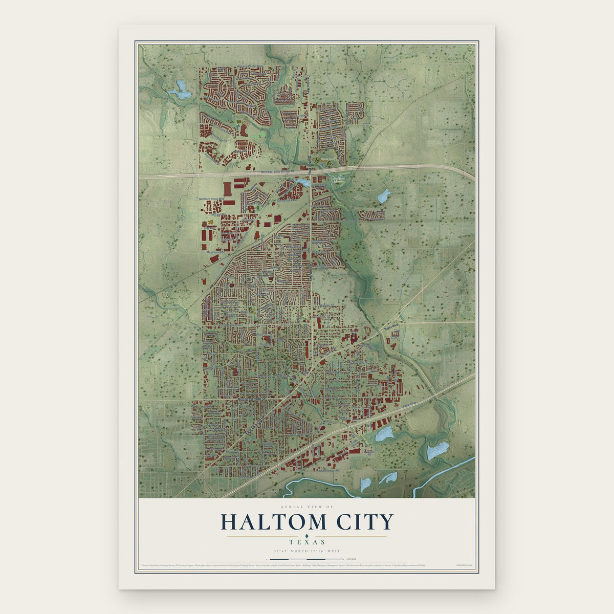
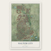
Haltom City, Texas Map Art
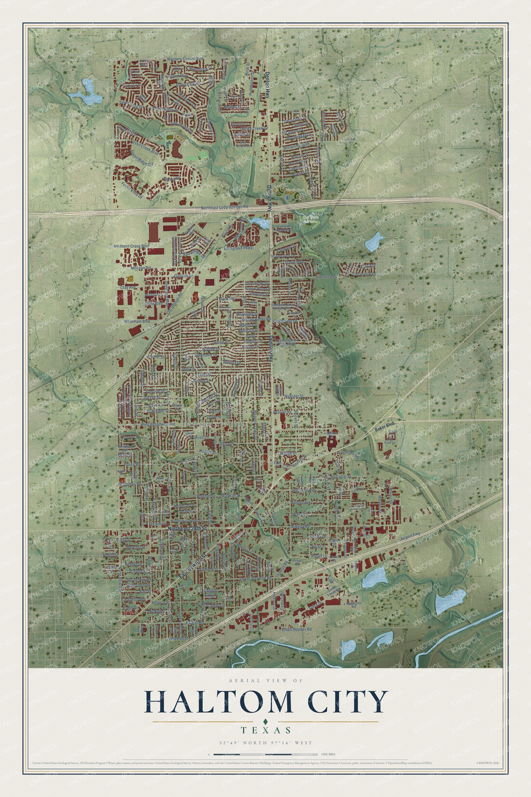
A new map of Haltom City, Texas, made in 2026 and printed to order on thick archival matte paper.
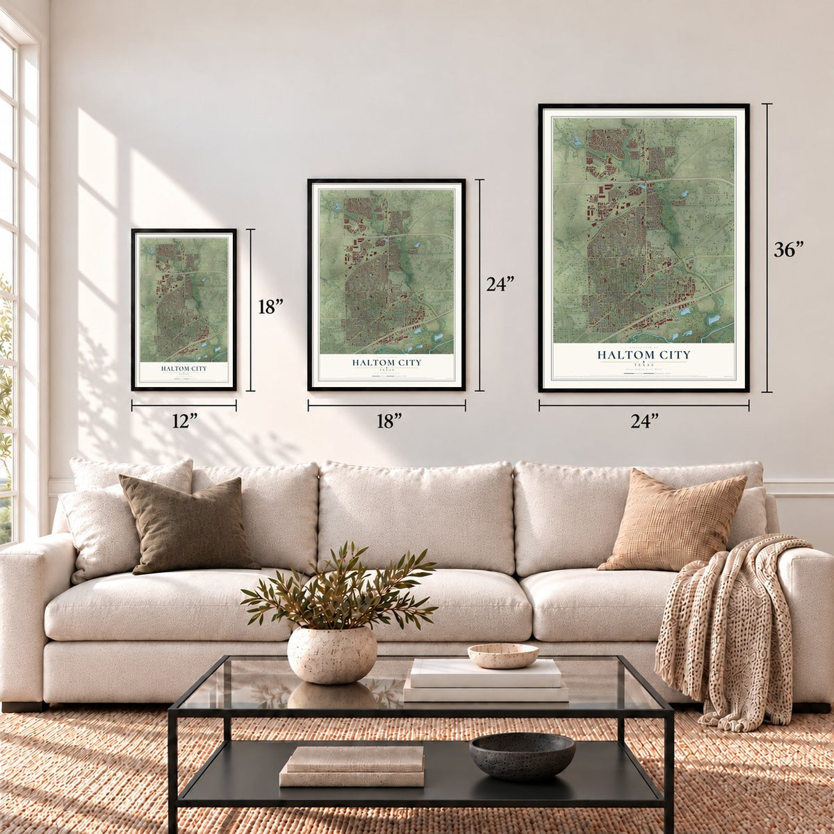
12" x 18" Archival Matte Print
A Map of Home. A Work of Art.
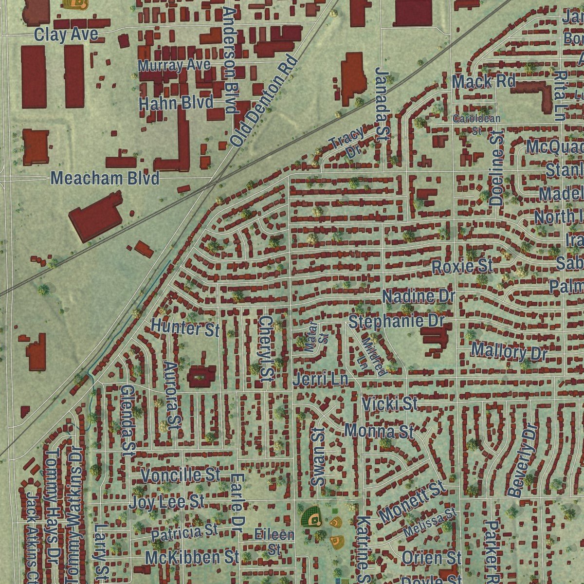
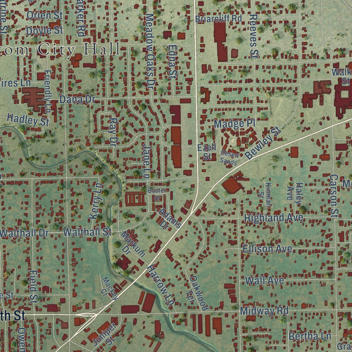
This beautifully detailed map of Haltom City, Texas was created in 2026 using aerial imagery combined with modern topographical, census, street and landmark data. It's a modern aerial view of Haltom City in Tarrant County, Texas, that combines modern data with a vintage aesthetic. Zoom in on the preview and look for your block.
Three ways to hang it
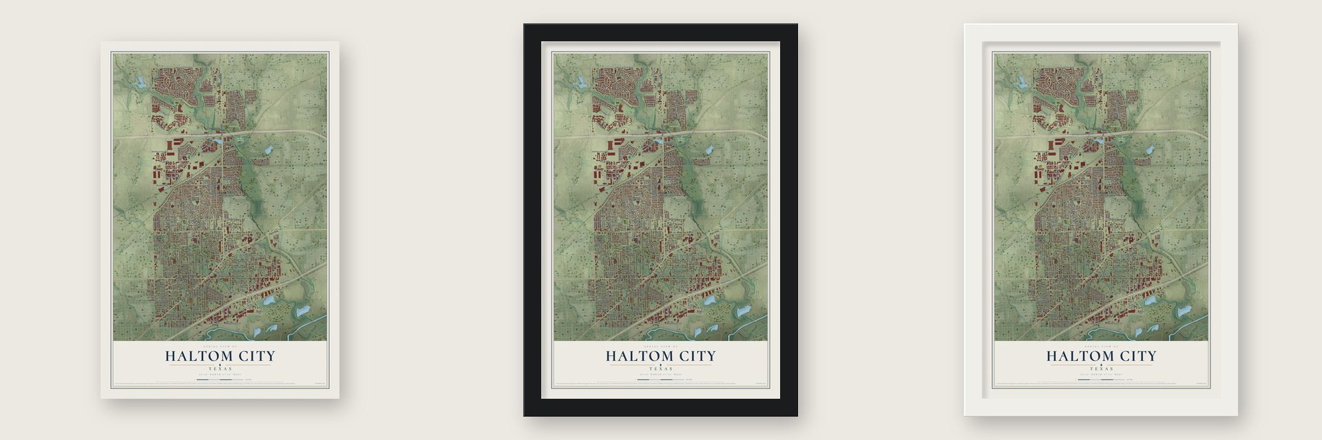
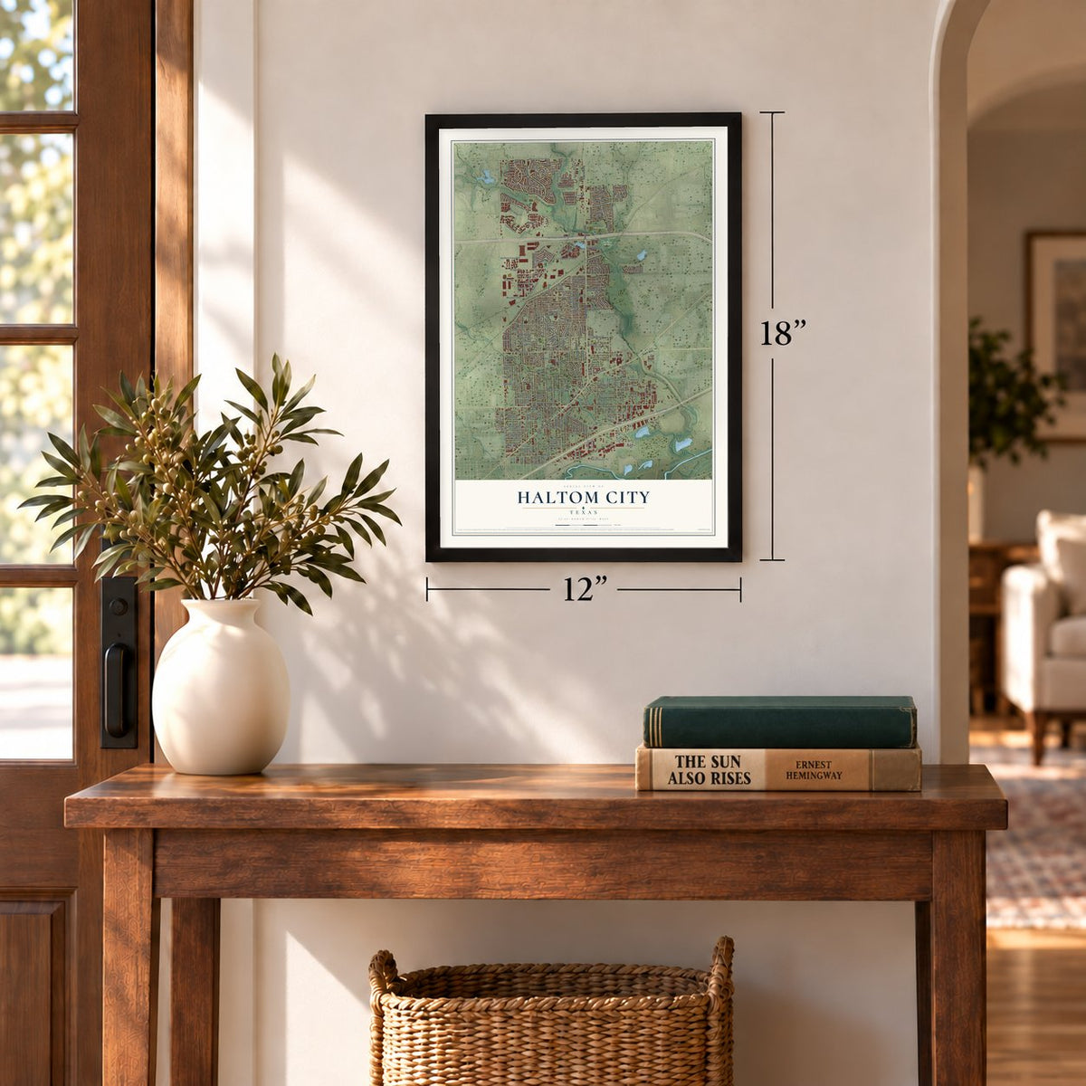
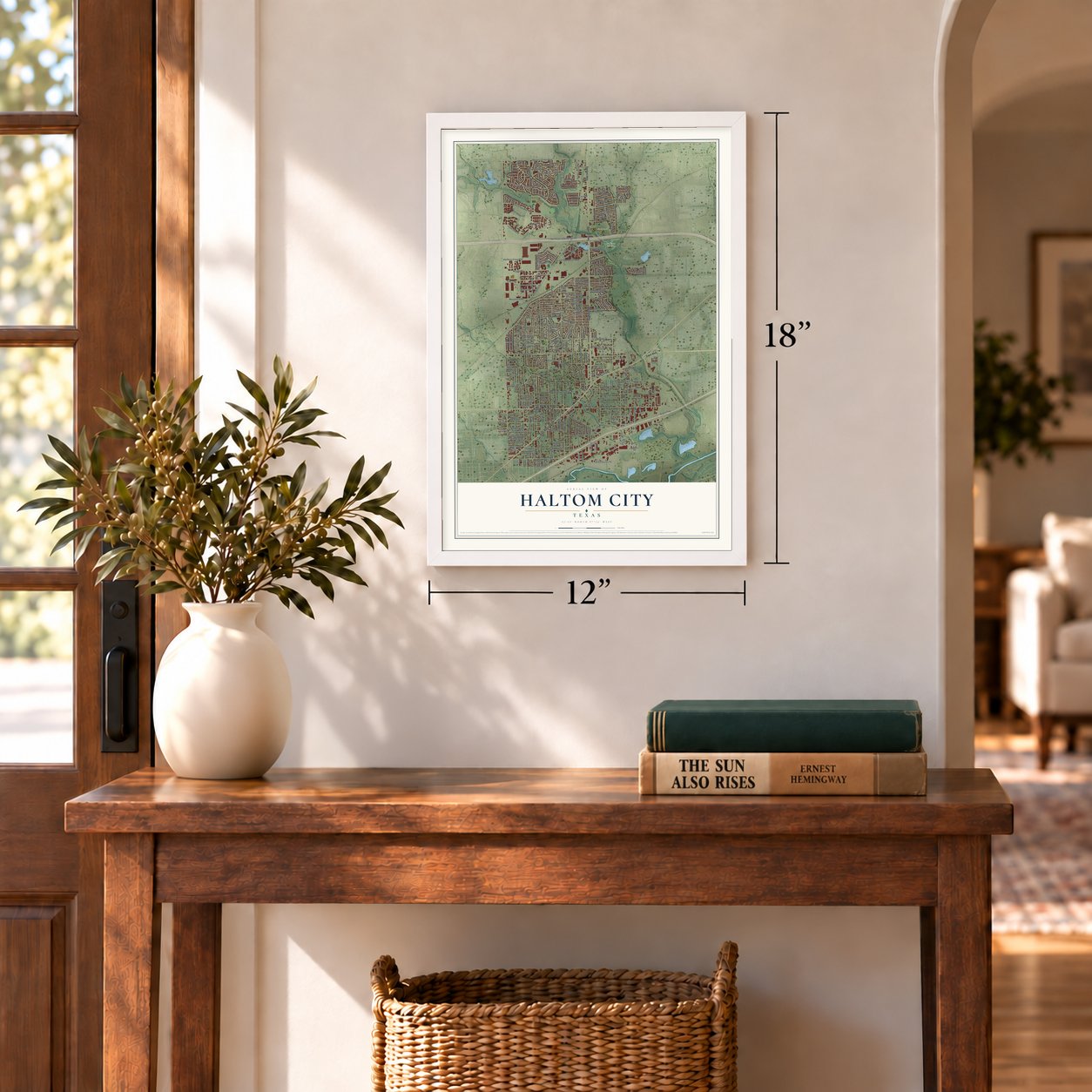
Unframed archival matte, a black wood frame or a white wood frame.
Up close
Real geography. Art worth displaying.
This map was created using accurate cartographic data and authoritative geographic sources, including the U.S. Geological Survey and the Census Bureau. The map brings together terrain, waterways, roads, and building detail. The majority of the streets are labeled, houses are accurately depicted, and the topography is derived from government sources. Combining local data with carefully composed color and shading leads to this beautifully detailed Haltom City artwork for your wall.
Rather than simply showing street outlines, we’ve included as many of the street names as we could reasonably fit on the map while keeping their names legible. Zoom in on the high resolution preview to see exactly what’s on the map. We truly set out to create a statement piece for anyone who loves Haltom City. So whether it’s for you, or a gift for someone you love, we hope this map of Haltom City brings back fond memories.
Read the story behind this map of Haltom City, Texas from 2026.
About Haltom City, Texas
Located in Texas, Haltom City is a city within Tarrant County. The 2020 census recorded 46,073 residents.
- 46,073 residentsThe Census Bureau recorded this population in 2020.
- Tarrant CountyThis city is part of the county.
- Local schoolsPublic schools here are part of Birdville Independent School District.
- 12.4 square milesThe Census Bureau reports a total area of 12.4 square miles.
Find your street
Names on the Haltom City map
Every name below is printed on this map. Look for your street, your school, the park where you played, or the pond down the road.
Places and landmarks3
- Haltom City Hall
- Iron Horse Golf Course
- North Park
Streets and roads295
- Denton Highway
- East Belknap Street
- Northeast 28th Street
- North Beach Street
- Fossil Creek Boulevard
- Browning Boulevard
- Walthall Street
- Oak Knoll Drive
- Hadley Street
- Springdale Road
- Layton Avenue
- Creekside Drive
- Haltom Road
- Northeast Loop 820 Svc Road
- West Broadway Avenue
- Airport Fwy
- Western Center Boulevard
- Midway Road
- Carson Street
- Layton Street
- Gene Lane
- Old Denton Road
- Stanley Keller Road
- Field Street
- Rita Lane
- Fossil Drive
- Eastridge Drive
- Fincher Road
- Dana Drive
- Jerri Lane
Show all 295 streets
- Glenview Drive
- Nadine Drive
- Glenda Street
- Northern Cross Boulevard
- Sabelle Lane
- Oakwood Street
- Jane Lane
- McLean Road
- Meadow Oaks Drive
- Ira Street
- Thomas Road
- Earle Drive
- Anderson Boulevard
- Elliott Reeder Road
- Webster Street
- Revere Street
- Jane Anne Street
- Aurora Street
- Monna Street
- Stephanie Drive
- Parrish Road
- Edith Lane
- Dunson Drive
- Huddleston Street
- Silver Sage Drive
- Lower Birdville Road
- Bewley Street
- Joy Lee Street
- Roxie Street
- Eden Drive
- Hollis Street
- Bernice Street
- Madella Street
- Denise Drive
- Highland Avenue
- Minnis Drive
- Starlight Drive
- Bonanza Drive
- Vicki Street
- Higgins Lane
- Solona Street
- Clay Avenue
- Ammons Street
- Wheeler Street
- Eden Avenue
- Katrine Street
- Moneda Street
- Ellison Avenue
- Bakers Lane
- Walthall Drive
- Reeves Street
- Estes Park Road
- Owens Street
- Chessie Circle
- Rockport Lane
- McCullar Street
- Harris Lane
- Kings Avenue
- Meacham Boulevard
- McComas Road
- Larry Street
- Janada Street
- Woods Lane
- Mack Road
- Mallory Drive
- Aspen Way
- Wall Avenue
- Springlake Parkway
- Fossil Ridge Drive
- Creech Street
- Bonner Drive
- Weaver Street
- Garland Drive
- McKibben Street
- Mercury Street
- Tommy Watkins Drive
- Fossil Ridge Circle
- Biscayne Drive
- Cheryl Street
- Parkview Drive
- McNutt Street
- Palmer Drive
- Delante Street
- Circleview Drive
- Kearby Street
- Westgrove Boulevard
- Placid Drive
- Minnie Street
- Cedarcrest Drive
- White Creek Drive
- Catalpa Street
- Tommy Hays Drive
- Bertha Lane
- Twin Oaks Drive
- Voncille Street
- Parker Road
- Macdougall Drive
- Macrae Street
- Swan Street
- Fossil Vista Drive
- Maurie Drive
- Whitley Road
- Colonial Park Drive
- Cypress Street
- Doeline Street
- Hickory Drive
- Marlene Drive
- Banner Drive
- Doyle Street
- Rusty Dell Road
- Earl Street
- Carnation Avenue
- San Jacinto Drive
- Jordan Park Drive
- Pecan Court
- Hahn Boulevard
- Brent Drive
- Posey Lane
- Rusk Street
- Knowledge Drive
- McQuade Street
- Loraine Street
- Madge Place
- Cherilee Lane
- Newman Drive
- Fairway Circle
- Cemetery Road
- Monett Street
- Mink Drive
- North Ira Street
- Roundtree Court
- Beverly Drive
- Dayton Street
- Elton Road
- Ivey Street
- Kerry Lane
- Cheryl Lane
- Harrow Lane
- Colony Court
- Gage Street
- Tosca Drive
- Lake Drive
- Hires Lane
- Ray Drive
- Ola Lane
- Edna Street
- Big Fossil
- Nina Lane
- Orien Street
- Hunter Street
- Ashley Drive
- Ermis Street
- Piper Drive
- Menn Street
- Lark
- Iris Drive
- Baker Boulevard
- North Hills Drive
- Golf Side Apartment
- Diamond Oaks Drive South
- Bonnie Wayne Street
- Waldemar Street
- Northeast Loraine Street
- Old Post Lane
- Oakwood Terrace
- Hemlock Drive
- Diamond Oaks Drive North
- Goodnight Circle
- Sunday Street
- Briarcliff Road
- Murray Avenue
- Dillon Circle
- Glenda Avenue
- Patricia Street
- Walker Street
- Friendly Lane
- Estes Park Circle
- Straightaway Drive
- Emerald Oaks Drive
- Janrue Court
- Markum Drive
- Melinda Street
- Macaskill Drive
- Granton Street
- Dee Lane
- Shadow Lane
- Wisdom Way
- Easy Street
- Judith Way
- Jack Atkins Court
- Bent Creek Drive
- Alyse Drive
- Moneda Avenue
- Little Fossil Road
- Frio Drive
- Beech Drive
- Larkspur Drive
- Laverda Drive
- Woodlane Avenue
- Juniper Street
- Santa Fe Trail
- Tracy Drive
- Anderson Road
- Reaford Drive
- Starling Circle
- Selma Street
- Betty Lane
- Kings Highway
- Shane Drive
- Maxine Street
- Norvell Drive
- Haley Avenue
- Joy Grace Drive
- Post Avenue
- Blanco Drive
- Adams Drive
- Orval Court
- Solana Avenue
- Linton Street
- Eileen Street
- Solana Street
- Jerry Lane
- Village Court
- Iris Court
- Ezell Street
- Echo Bluff Drive
- Cripple Creek Road
- Conkling Avenue
- Georgian Drive
- Melissa Street
- Lucille Street
- Montreal Circle
- Maryview Terrace
- Waycrest Drive
- Kimbo Road
- Mildred Lane
- Kinman Street
- Matar Street
- Mackey Court
- Oregon Trail
- Zelma Street
- Leona Lane
- Desert Sands
- Caroldean Street
- Hunting Hill Lane
- Black Drive
- Blue Spruce Circle
- Lance Court
- Westchester Drive
- Glenhaven Drive
- River Ridge Drive
- Solona Circle South
- South Highland Circle
- Ridgemont Road
- Christy Lane
- Skyline Drive
- Taos Drive
- South Wayne Court
- Kimberly Court
- Browning Drive
- Fawn Court
- Bradley Drive
- Buster Drive
- Goldie Street
- Selk Avenue
Names are listed as they appear on the printed map. Zoom into the product photos to find them.
The art of mapping a place
How This Map Was Made
Real places. Remarkable detail. Discover the layers that turn geographic data into a map of home.

The view from above
Aerial imagery reveals the character of the land: woodland, open fields, and the patterns of a place.

The shape of the land
Elevation data brings hills, valleys, and subtle changes in the landscape into view.

The details of home
Roads, waterways, and building footprints come together to make the map feel unmistakably local.

Geography becomes art
Considered color, shading, and typography bring the layers together in a map made for your wall.


Process illustrated with Mendon, Massachusetts. Aerial imagery: USDA NAIP. Terrain: USGS 3D Elevation Program. Map details and finished artwork: KNOWOL.
The Details
About This Print
Choose an archival matte print, or a black or white Ayous wood frame. The archival matte print is unframed.
Select your size and finish above to see the matching product image and price.
Materials & Craftsmanship
A contemporary map with the character of a classic atlas, printed on archival matte paper. Optional frames are made from Ayous wood.
Your printed map does not include the watermark shown in the full-map preview.
Shipping & Delivery
Free shipping within the United States. Every print is made to order in the USA.
Buying a gift? Add a note in your cart and we'll include it. We never put prices in the package.
Prints ship within 2 to 3 business days. Allow 7 to 10 days total from ordering for delivery. Timing may vary during holidays or periods of high order volume.
Read our shipping policy.
Returns and damaged prints
Each print is made to order. Change-of-mind refunds are not available after production.
If your print arrives damaged, misprinted or incorrect, contact support@knowol.com within 30 days of receiving it. Include your order number, photos and a description of the issue.
Read our full refund and replacement policy. For questions about your order, email support@knowol.com.
Find your town
Looking for another city?
Find a map of home in our Texas collection, or any town in the country.
Nearby
Maps of towns near Haltom City
Know someone from one of these towns? Their map makes a great gift.
 Richland Hills
, Texas
From $39.99See the map
 Watauga
, Texas
From $39.99See the map
 North Richland Hills
, Texas
From $39.99See the map
More maps nearby: Blue Mound, Fort Worth, Hurst, Saginaw and Sansom Park.