
Search for another town

Free U.S. delivery 7 to 10 days after you order
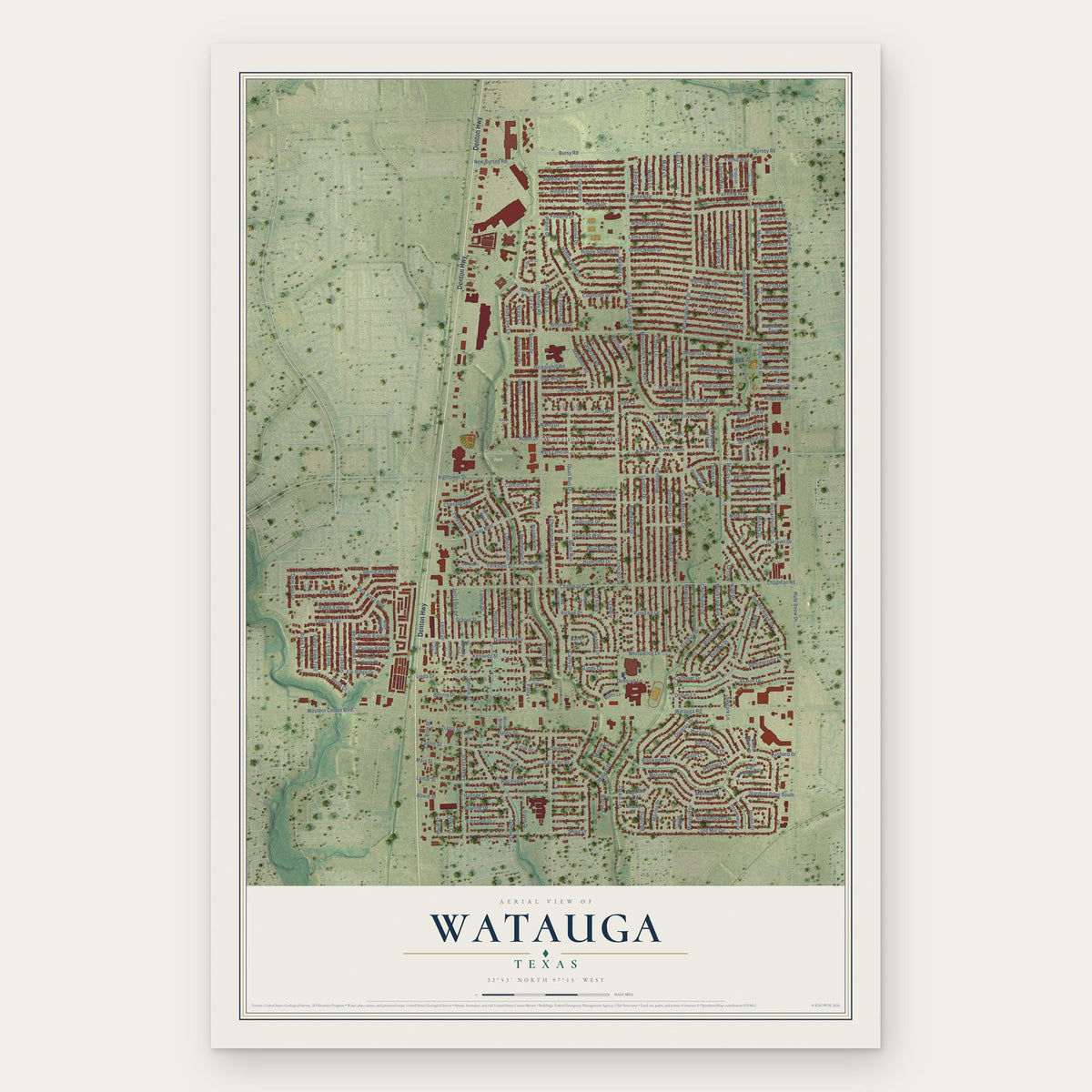
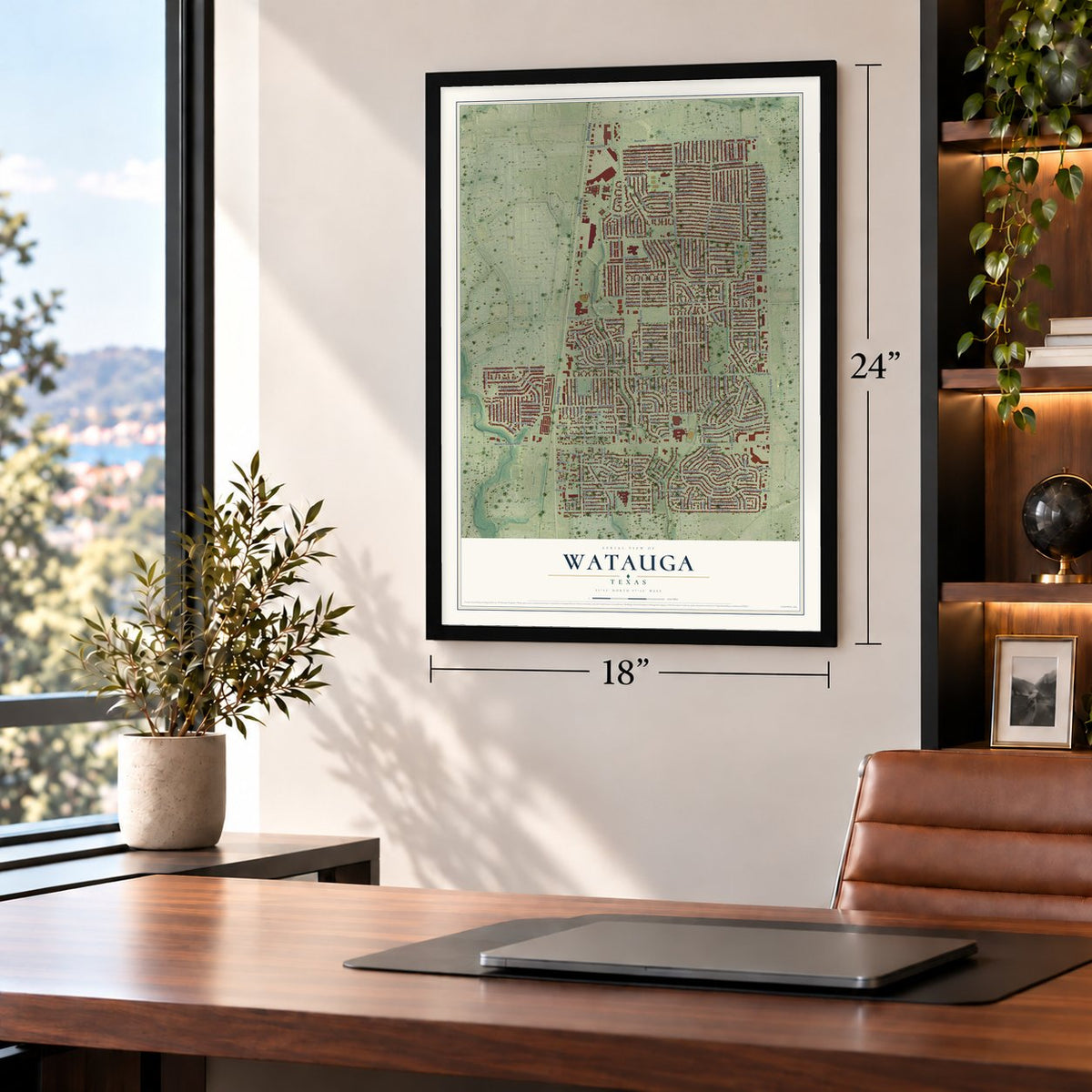
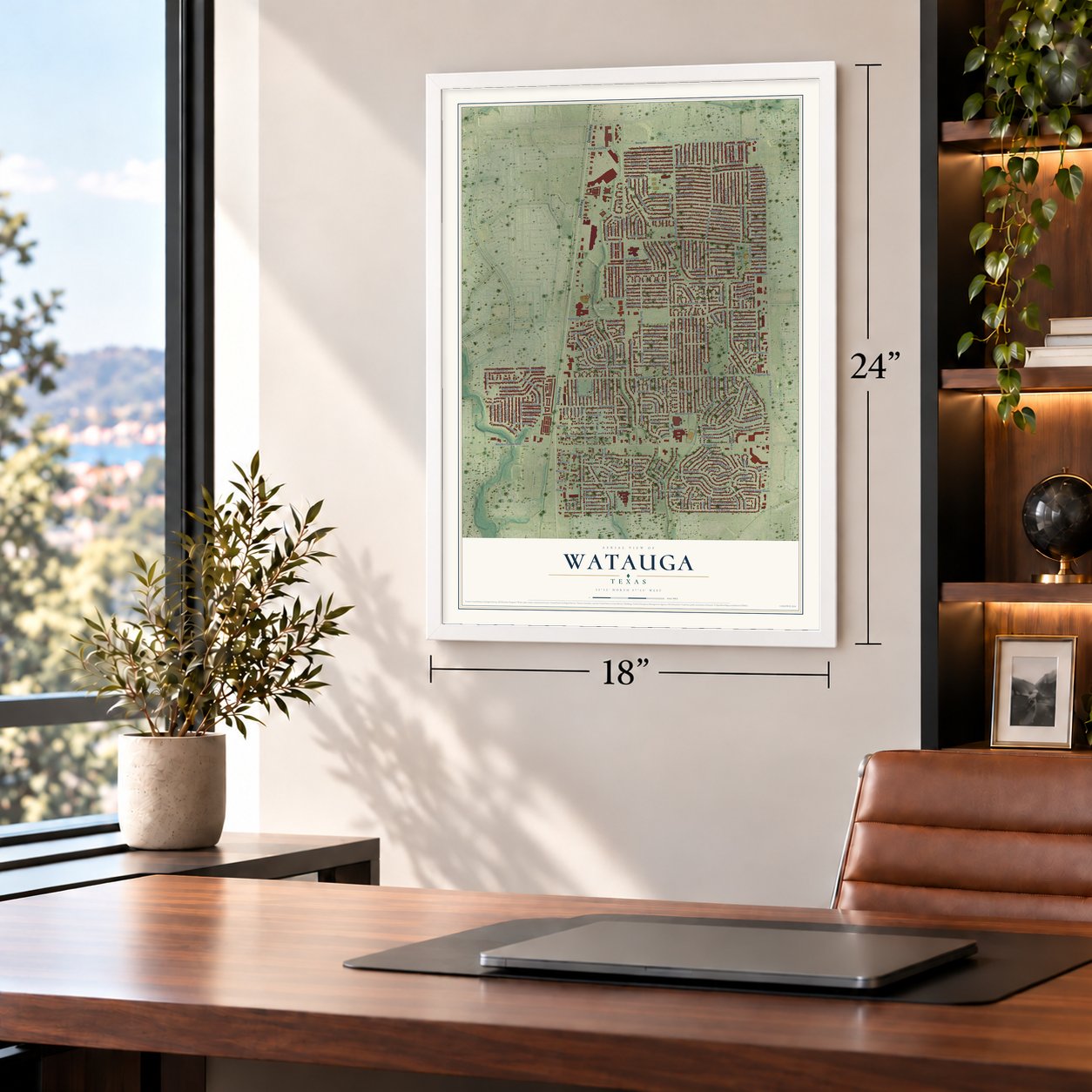
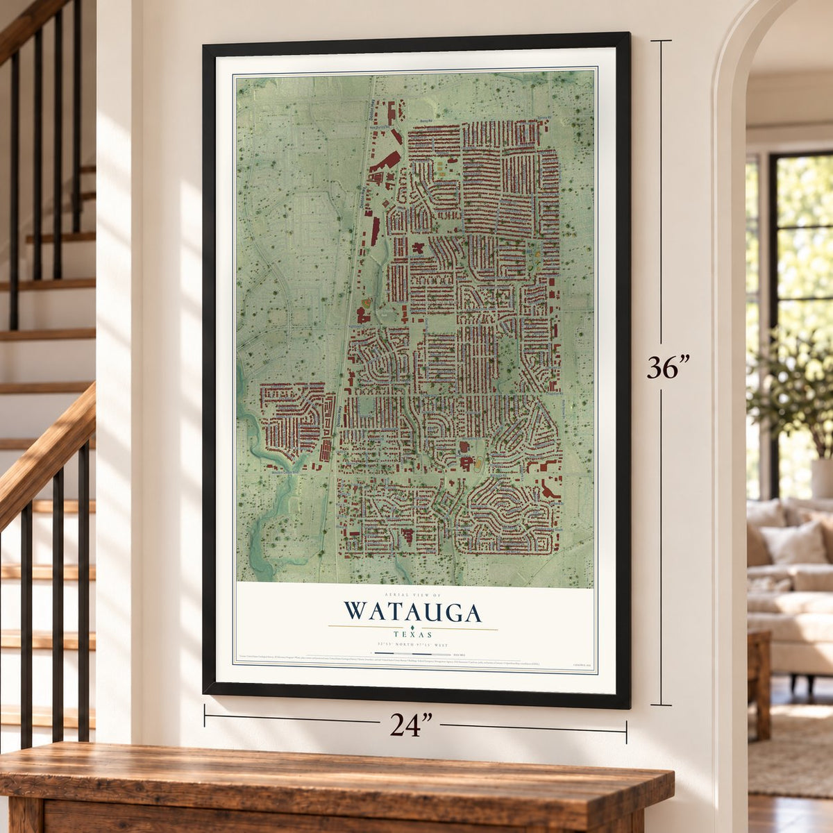
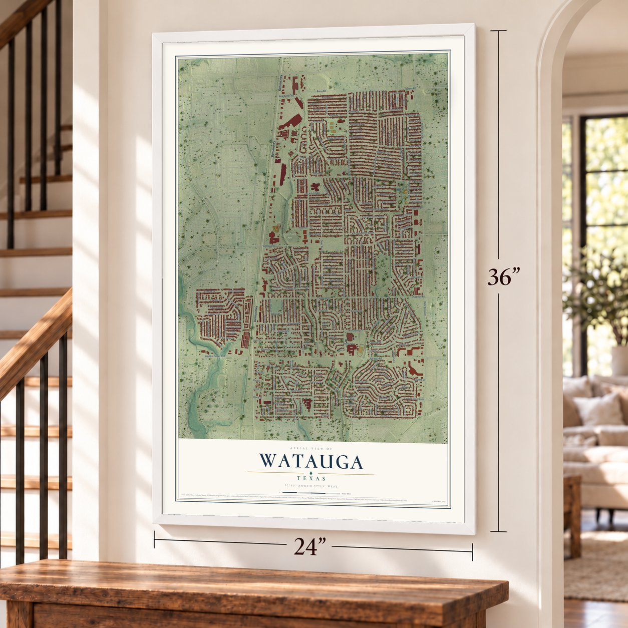
Watauga, Texas Map Art
Building by building, with labeled streets and shaded relief.
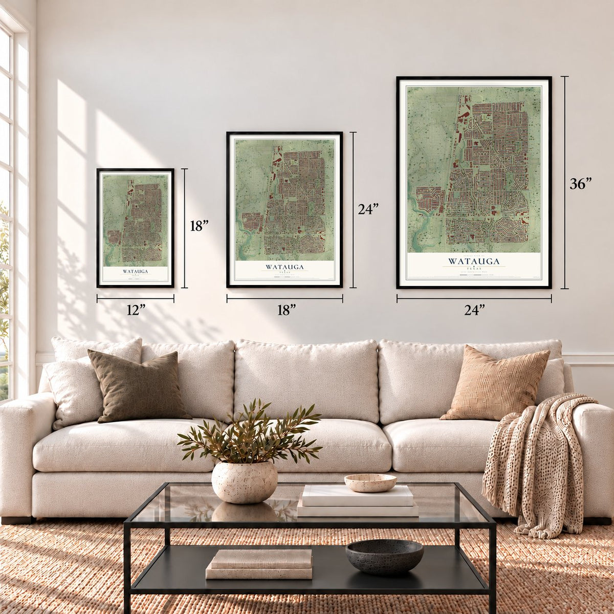
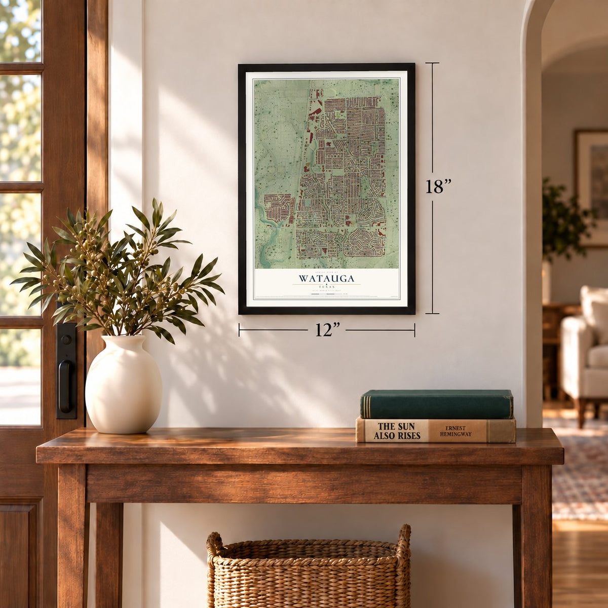
12" x 18" Archival Matte Print
A Map of Home. A Work of Art.
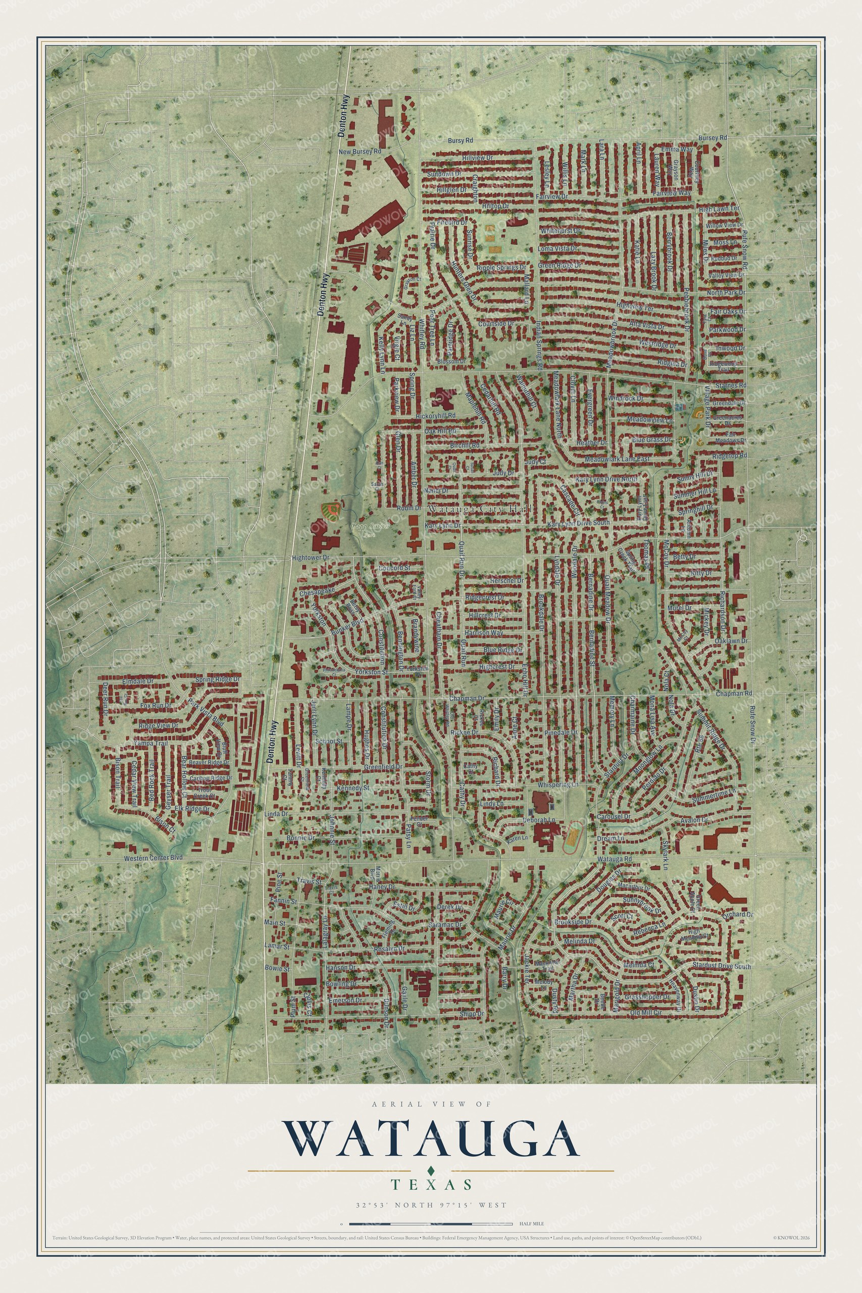
Explore Watauga, Texas from a whole new perspective. Created using aerial imagery and detailed geographic data, this map captures Watauga building by building, with labeled streets, familiar landmarks, and shaded topographical relief that highlights the natural contours of the landscape.
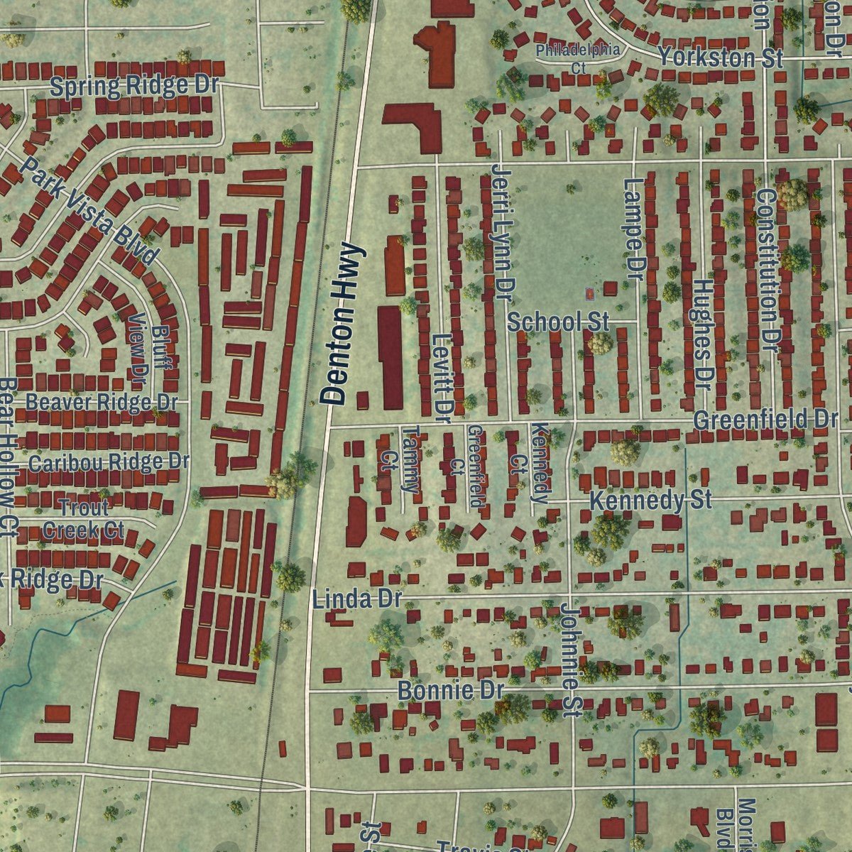
Combining modern data with the timeless character of a vintage atlas, this map is just as interesting up close as it is beautiful on the wall. Whether you grew up in Watauga, spent memorable years there, or call it home today, this unique map is a great way to celebrate a place that means something to you. Zoom in on the preview to look for your street, and then order a print to put your memories on the wall.
Three ways to hang it
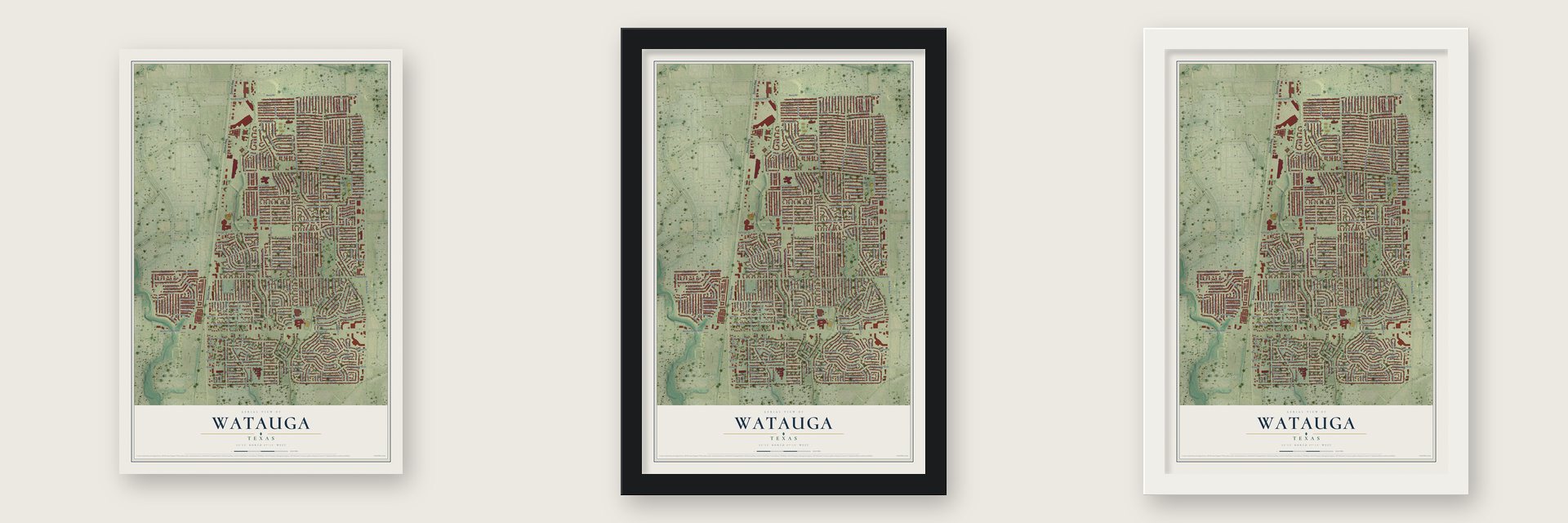
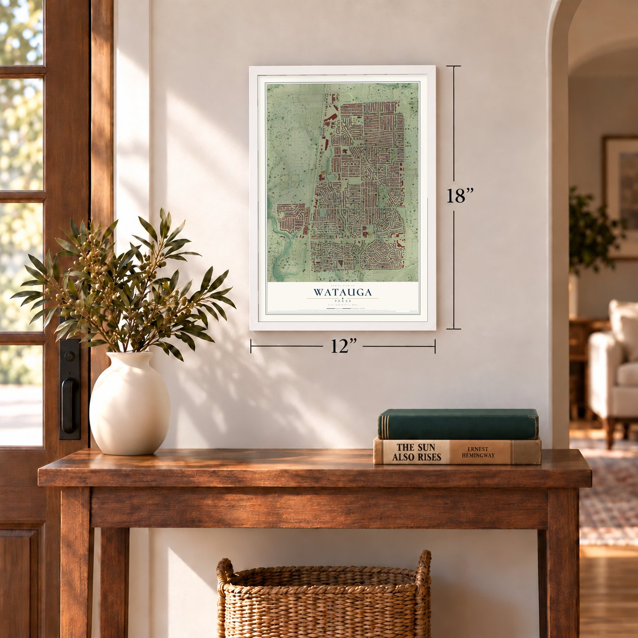
Unframed archival matte, a black wood frame or a white wood frame.
Up close
Geography Worth Displaying
This map was created using accurate cartographic data and authoritative geographic sources, including the U.S. Geological Survey and the Census Bureau. The map brings together terrain, waterways, roads, and building detail. The majority of the streets are labeled, houses are accurately depicted, and the topography is derived from government sources. Combining local data with carefully composed color and shading leads to this beautifully detailed Watauga artwork for your wall.
Rather than simply showing street outlines, we’ve included as many of the street names as we could reasonably fit on the map while keeping their names legible. Zoom in on the high resolution preview to see exactly what’s on the map. We truly set out to create a statement piece for anyone who loves Watauga. So whether it’s for you, or a gift for someone you love, we hope this map of Watauga brings back fond memories.
Find your street
Names on the Watauga map
Every name below is printed on this map. Look for your street, your school, the park where you played, or the pond down the road.
Places and landmarks2
- Watauga City Hall
- Capp Smith Park
Streets and roads262
- Denton Highway
- Rufe Snow Drive
- Quail Run Drive
- Stardust Drive South
- Rufe Snow Road
- Whitley Road
- Watauga Road
- Chapman Road
- Hightower Drive
- Starnes Road
- North Park Drive
- Meadowbrook Drive
- Echo Hill Drive
- Bursey Road
- Bursy Road
- Saramac Drive
- Lyndale Drive
- Woodale Drive
- Maurie Drive
- Pebblebrook Drive
- Harrison Way
- Richardson Drive
- Indian Springs Road
- Old Mill Circle
- Brookdale Drive
- Bernadine Drive
- Bernadine Street
- McCoy Drive
- Park Vista Boulevard
- Shipp Drive
Show all 262 streets
- Constitution Drive
- Kary Lynn Drive South
- High Lawn Terrace
- Bennington Drive
- Whispering Lane
- Summit Ridge Drive
- Brookside Drive
- Bunker Boulevard
- Skylark Lane
- Yorkston Street
- Lalagray Lane
- Patsy Lane
- Western Center Boulevard
- Greenfield Drive
- Hanson Drive
- Plum Street
- Rosalyn Drive
- Ridge View Drive
- Highview Terrace
- Alta Vista Drive
- Constitution
- Westridge Drive
- Ridglea Drive
- Prairie Drive
- Bonnie Drive
- Linda Drive
- Yorkston
- Quail Run
- Robin Drive
- Perdido Drive
- Stardust Drive
- Haney Drive
- Hunters Glen Drive
- Johnnie Street
- Meadowlark Lane East
- Bear Hollow Court
- Birchill Road
- Hillglen Drive
- Sundown Drive
- Hilltop Drive
- Hillview Drive
- Fairview Drive
- Ridgecrest Drive
- Moonglow Lane
- Cascade Circle
- Dunson Drive
- Kennedy Street
- Emerson Drive
- Oak Hill Road
- Melinda Drive
- Carousel Drive
- Avalon Drive
- Quail Meadow Drive
- Rickee Drive
- Jackie Terrace
- Bowling Drive
- Fox Run Drive
- Kary Lynn Drive
- Judy Drive
- Cathy Drive
- Nanci Drive
- Storm Drive
- Douglas Drive
- Barry Drive
- Summertime Lane
- Cheatham Drive
- Dream Lane
- Sunnybrook Drive
- Highcrest Drive
- Hickoryhill Road
- Whitehurst Drive
- Green Ridge Drive
- Loma Vista Drive
- New Bursey Road
- Berrybrook Drive
- Kary Lynn Drive North
- Route 66
- Geyser Trail
- Lazy Brook Drive
- Maplehill Road
- Deborah Lane
- Cedarhill Road
- Glen Drive
- Amber Drive
- Meadowlark Lane North
- Katie Lane
- Rebecca Lane
- Kelly Lynn Lane
- Elmdale Drive
- Clover Lane
- Charmaine Drive
- Evergreen Drive
- Brandywine
- Red Rock Trail
- Hughes Drive
- Yampa Trail
- Levitt Drive
- Lampe Drive
- Jerri Lynn Drive
- Oaklawn Drive
- Memory Lane
- Ripple Springs Drive
- Miles Drive
- Meadowview Lane
- Windrock Drive
- Ridgetop Road
- Richard Drive
- Bison Court
- Mallard Lane
- Grasshopper Drive
- Spring Ridge Drive
- Maurie Circle
- Partridge Drive
- Bison Trail
- Herschel Drive
- Fannin Street
- Hillcrest Drive
- Lamar Street
- Courtside Drive
- Blue Ridge Drive
- Martha Drive
- Lara Lane
- Chesapeake
- Pine Street
- Estill Drive
- Willis Lane
- Mark Lane
- April Lane
- Lesley Lane
- Murel Drive
- Kitty Drive
- Betty Drive
- Springhill Drive
- Summer Hill Lane
- Sunny Hill Drive
- Mona Lisa Avenue
- Village Park Drive
- Pear Tree Lane
- Main Street
- Elk Ridge Drive
- Marigold Drive
- Gayle Drive
- Dustin Drive
- Blue Grass Drive
- Firebird Drive
- Cedar View Trail
- Lindy Lane
- Concord Street
- Chapman Drive
- Travis Street
- Walnuthill Court
- Sunrise Drive
- Heather Drive
- Fairview Way
- Spring Drive
- Parkview Drive
- Lauren Way
- Thomas Place
- Liz Lane
- Anne Court
- Deer Run Drive
- Moss Lane
- Parkwood Drive
- Inwood Drive
- Derek Drive
- Nola Drive
- Fair Oaks Drive
- Emily Drive
- Clovis Court
- Emma Way
- Mickey Drive
- School Street
- Orchard Drive
- Pinedale Drive
- Craighton
- Nola Court
- Melinda Court
- Judy Court
- Dusty Road
- Scott Court
- Virgie Court
- Bowie Street
- Ridgewood Trail
- Grayson Way
- Macarthur Drive
- Mackneal Trail
- Beetle Drive
- Beaver Ridge Drive
- Caribou Ridge Drive
- Morris Boulevard
- Spring Creek Trail
- Kary Lynn Drive East
- Betsy Ross
- Bluff View Drive
- Courtney Way
- Fair Meadows Drive
- Willow View Drive
- High Meadow Court
- Trout Creek Court
- Redbud Drive
- Greendale Drive
- Greenacres Drive
- Heavenway Drive
- Valley View Drive
- Blossom Drive
- Fleming Drive
- Fender Court
- Yorkston Drive
- Green Apple Court
- Autumn Lane
- Melody Lane
- Kennedy Court
- Rickee Court
- Tammy Court
- Karen Lane
- Sandy Lane
- Cathy Court
- Dove Court
- Tyra Court
- Old Whitley Road
- Grayson Court
- Greenfield Court
- McCoy Court
- Valley Ford Court
- Sarah Court
- Travis Court
- Philadelphia Court
- Patino Court
- Fox Run Court
- Susan Court
- Quail Court
- Alan Court
Names are listed as they appear on the printed map. Zoom into the product photos to find them.
About Watauga, Texas
Watauga is a Tarrant County city whose permanent settlement began after the Civil War. Railway expansion in 1881 helped shape a community of farms and ranches, followed by a station and post office in 1883. After regional defense development reversed an earlier decline, the population reached 23,650 in the 2020 census.
- A Tennessee NameSettlers carried the name from Cherokee communities in Tennessee, and the Handbook of Texas defines Watauga as a Cherokee term meaning "village of many springs."
- Railway Turning PointThe arrival of Texas and Pacific Railway tracks in 1881 encouraged the loosely organized settlement to develop into a recognizable community.
- Early SchoolDuring the 1896-97 school term, Watauga's school enrolled 26 pupils and employed one teacher.
- Postwar GrowthThe population rose from 65 in the mid-1930s to 1,012 in the mid-1960s and 20,009 by 1990.
Keep exploring Texas
Watauga is one of 2,049 Texas towns we've mapped. Every dot on the map is a print of its own.
The search covers every state, Texas first.
Near Watauga
Order 2 or more town maps and save 10%. Shown in the size and finish you picked above, so they hang as a set.
- North Richland Hills 12" x 18" / Archival Matte Print $39.99
- Haltom City 12" x 18" / Archival Matte Print $39.99
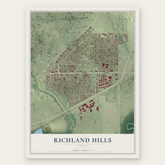
- Richland Hills 12" x 18" / Archival Matte Print $39.99


More maps nearby: Keller, Hurst, Blue Mound, Colleyville and Saginaw.
The art of mapping a place
How This Map Was Made
Real places. Remarkable detail. Discover the layers that turn geographic data into a map of home.

The view from above
Aerial imagery reveals the character of the land: woodland, open fields, and the patterns of a place.

The shape of the land
Elevation data brings hills, valleys, and subtle changes in the landscape into view.

The details of home
Roads, waterways, and building footprints come together to make the map feel unmistakably local.

Geography becomes art
Considered color, shading, and typography bring the layers together in a map made for your wall.


Process illustrated with Mendon, Massachusetts. Aerial imagery: USDA NAIP. Terrain: USGS 3D Elevation Program. Map details and finished artwork: KNOWOL.
The Details
About This Print
Choose an archival matte print, or a black or white Ayous wood frame. The archival matte print is unframed.
Select your size and finish above to see the matching product image and price.
Materials & Craftsmanship
A contemporary map with the character of a classic atlas, printed on archival matte paper. Optional frames are made from Ayous wood.
Your printed map does not include the watermark shown in the full-map preview.
Shipping & Delivery
Free shipping within the United States. Every print is made to order in the USA.
Buying a gift? Add a note in your cart and we'll include it. We never put prices in the package.
Prints ship within 2 to 3 business days. Allow 7 to 10 days total from ordering for delivery. Timing may vary during holidays or periods of high order volume.
Read our shipping policy.
Returns and damaged prints
Each print is made to order. Change-of-mind refunds are not available after production.
If your print arrives damaged, misprinted or incorrect, contact support@knowol.com within 30 days of receiving it. Include your order number, photos and a description of the issue.
Read our full refund and replacement policy. For questions about your order, email support@knowol.com.