
Search for another town


Free U.S. delivery 7 to 10 days after you order
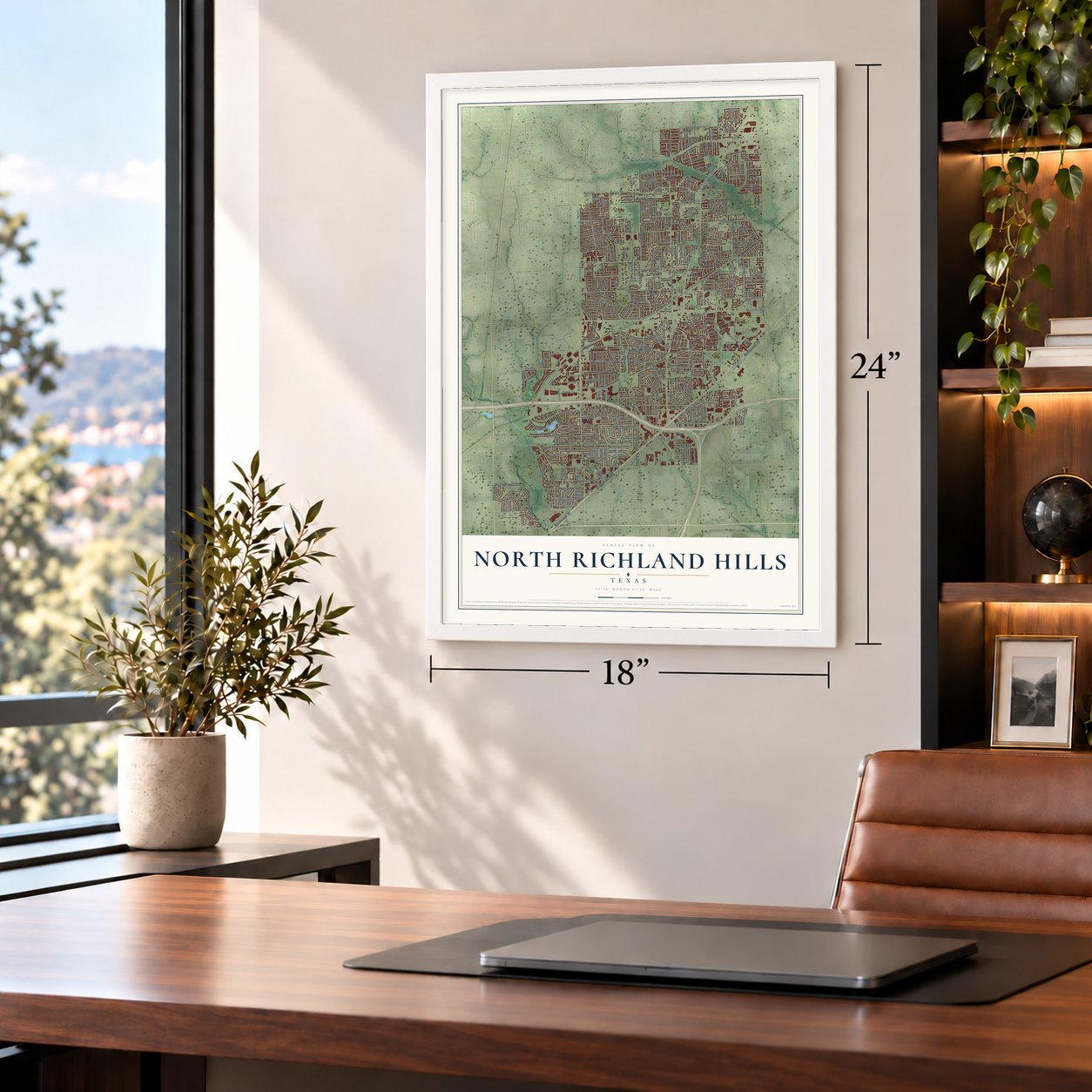
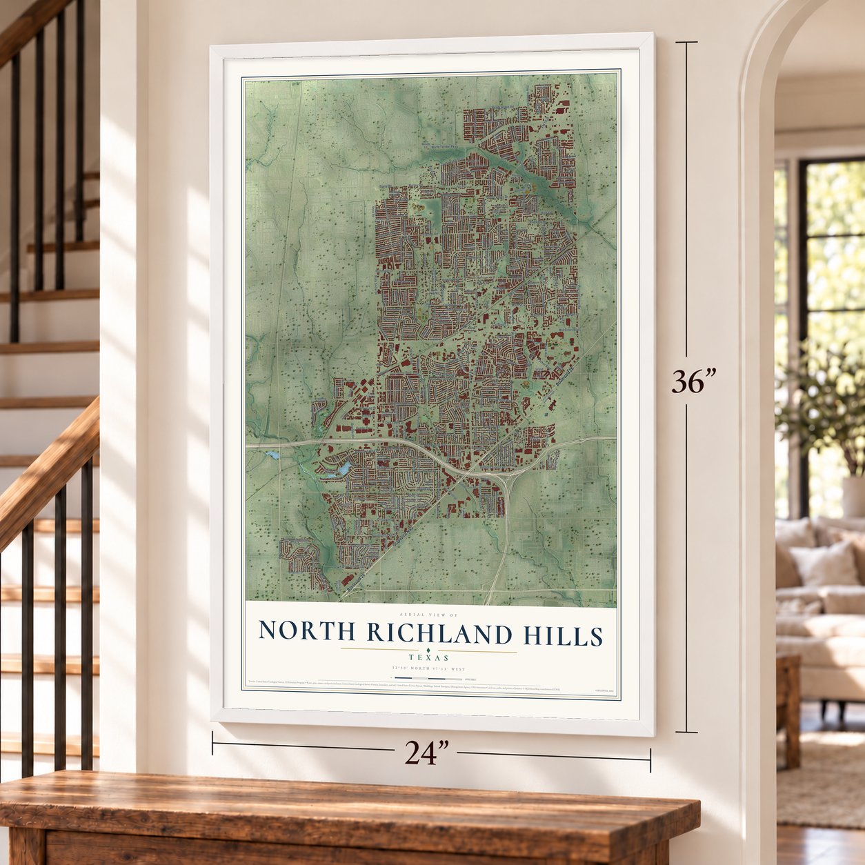
North Richland Hills, Texas Map Art
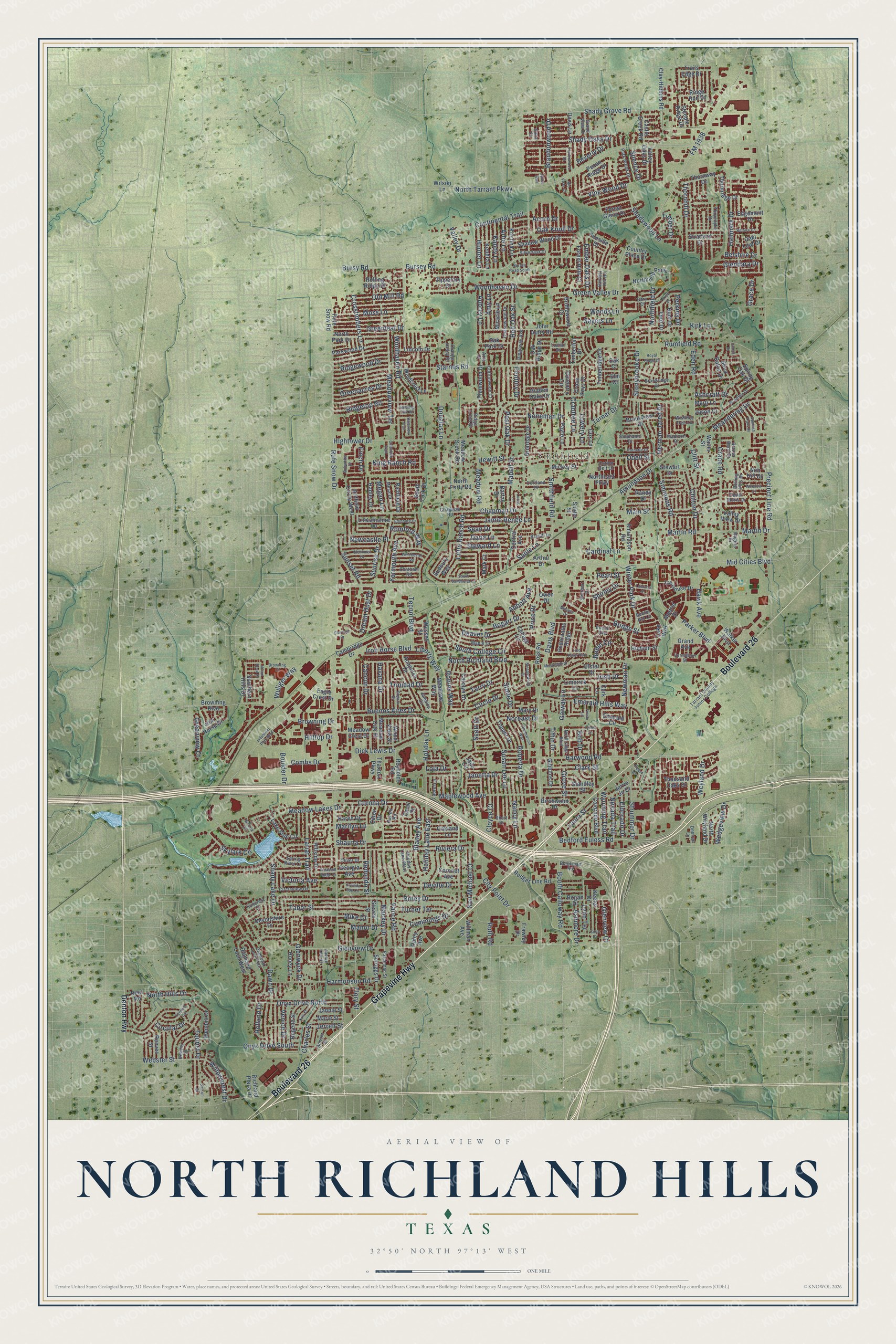
Building by building, with labeled streets and shaded relief.
12" x 18" Archival Matte Print
A Map of Home. A Work of Art.
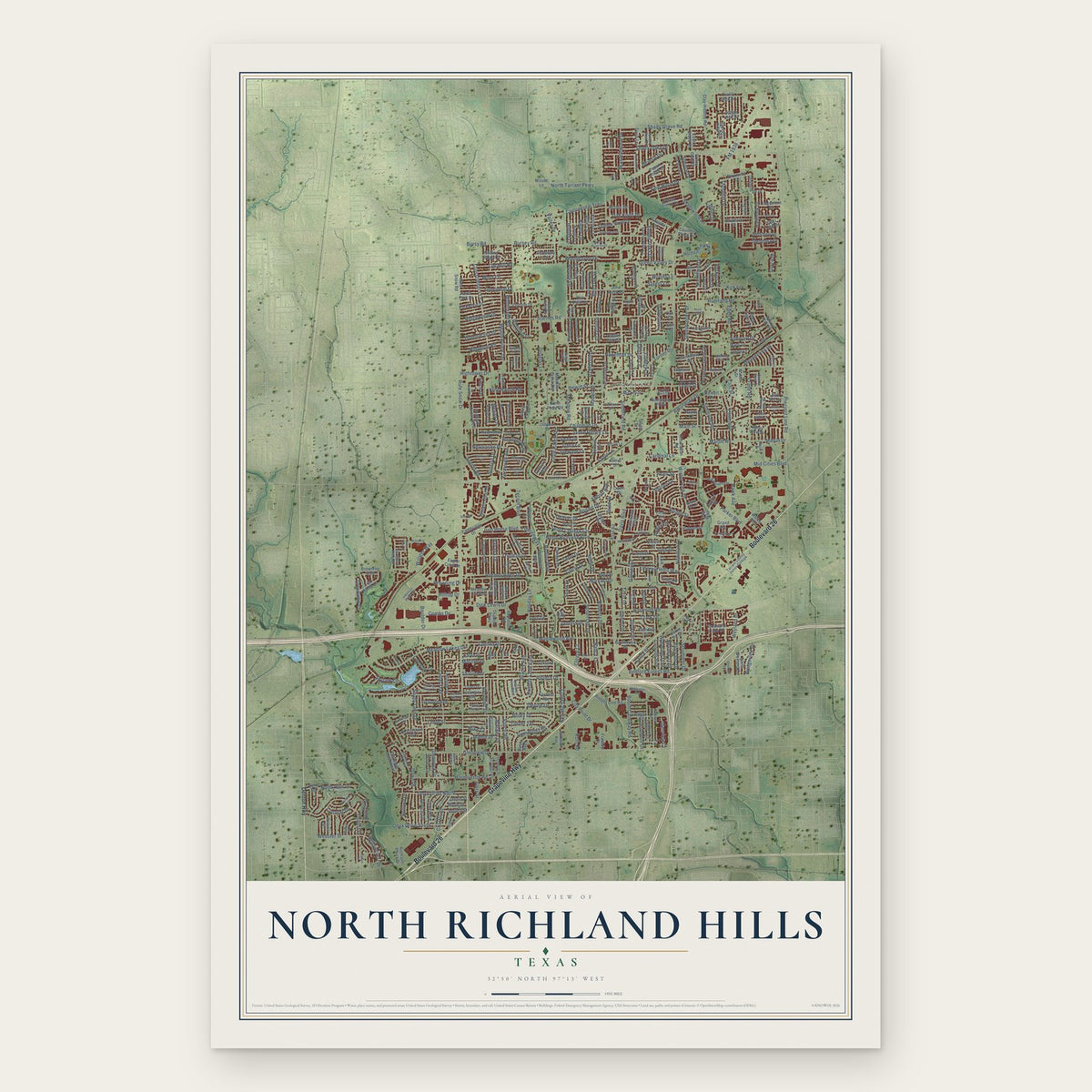
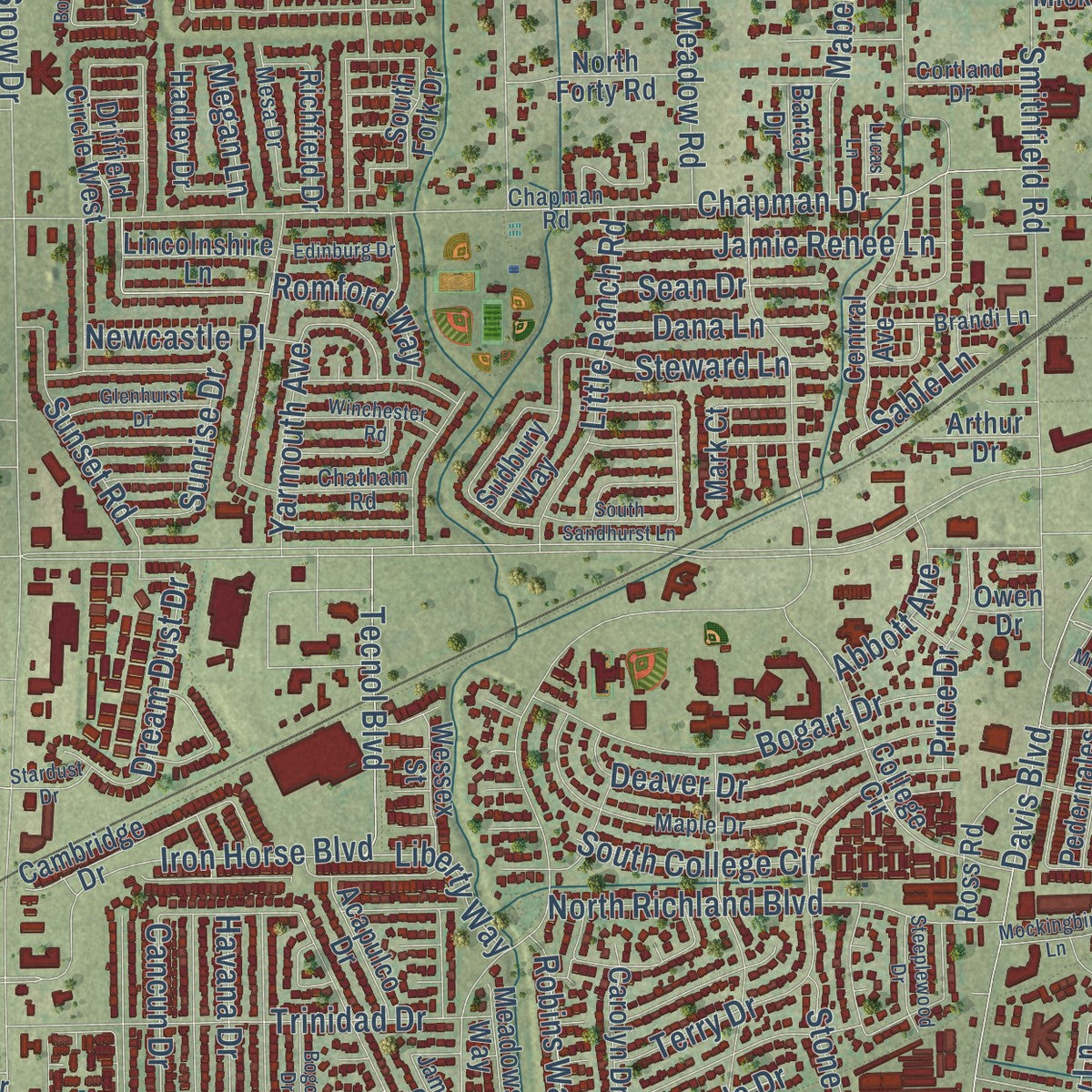
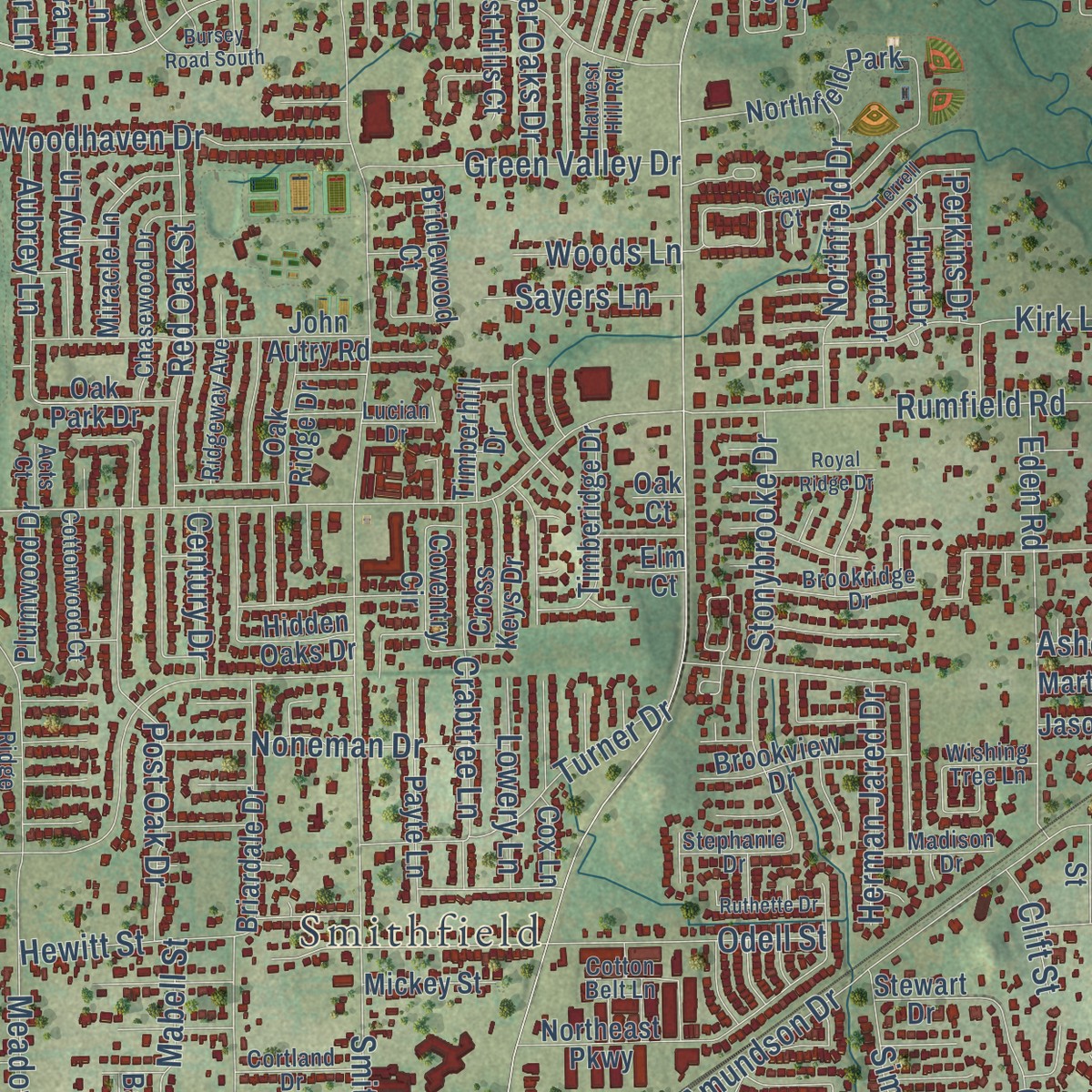
Explore North Richland Hills, Texas from a whole new perspective. Created using aerial imagery and detailed geographic data, this map captures North Richland Hills building by building, with labeled streets, familiar landmarks, and shaded topographical relief that highlights the natural contours of the landscape.
Combining modern data with the timeless character of a vintage atlas, this map is just as interesting up close as it is beautiful on the wall. Whether you grew up in North Richland Hills, spent memorable years there, or call it home today, this unique map is a great way to celebrate a place that means something to you. Zoom in on the preview to look for your street, and then order a print to put your memories on the wall.
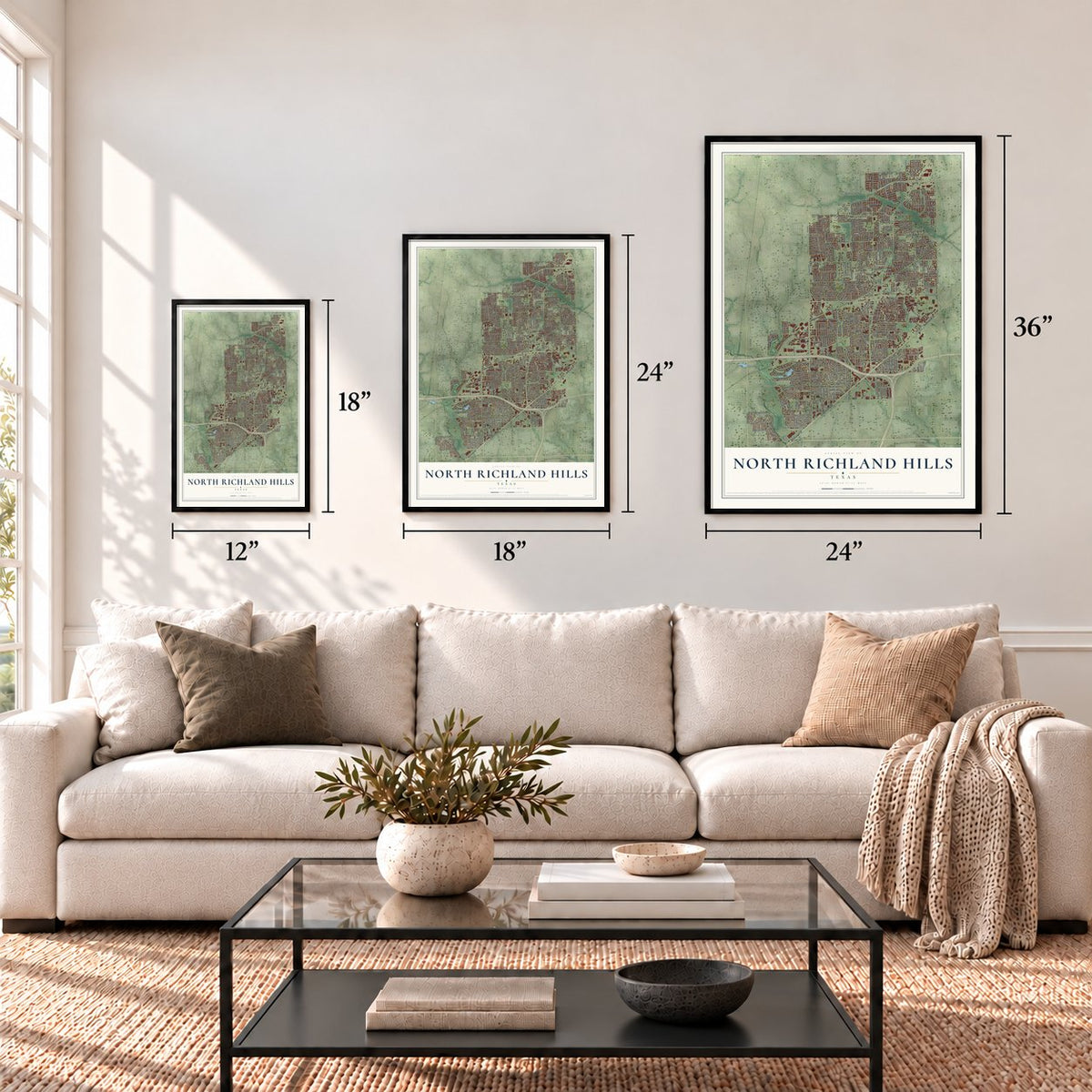
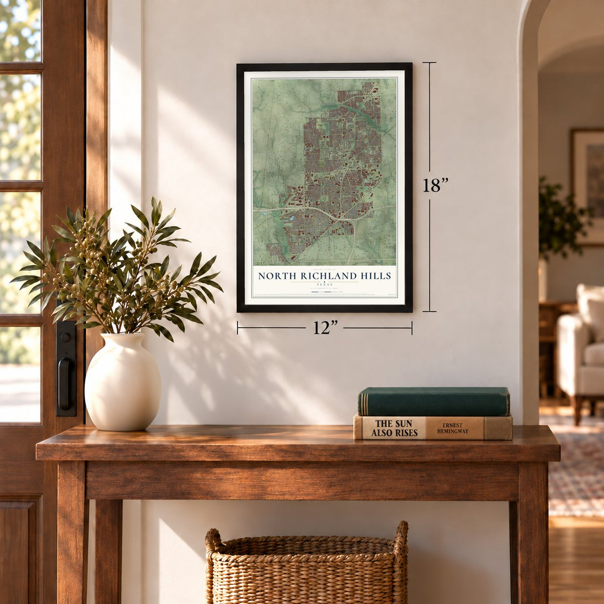
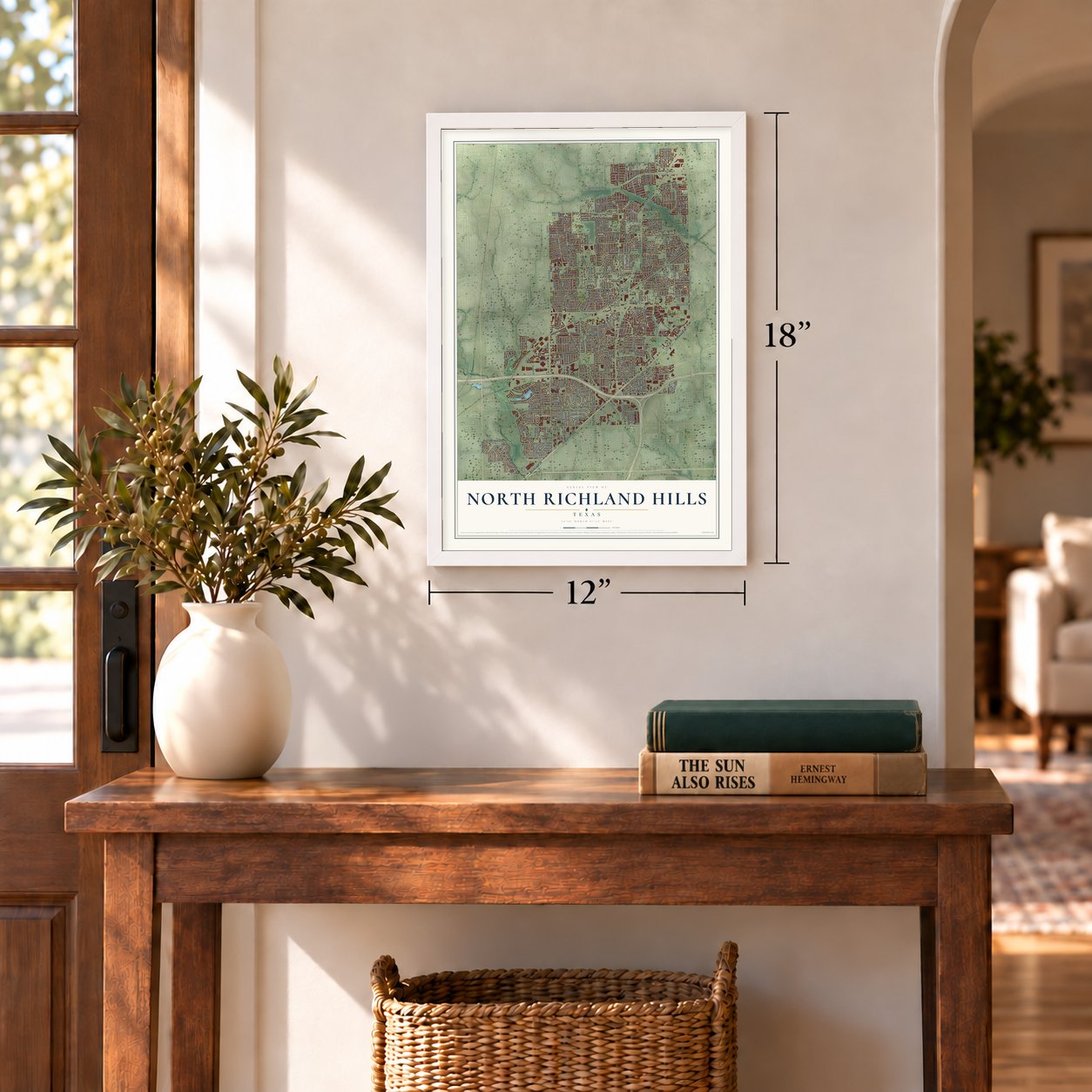
Three ways to hang it
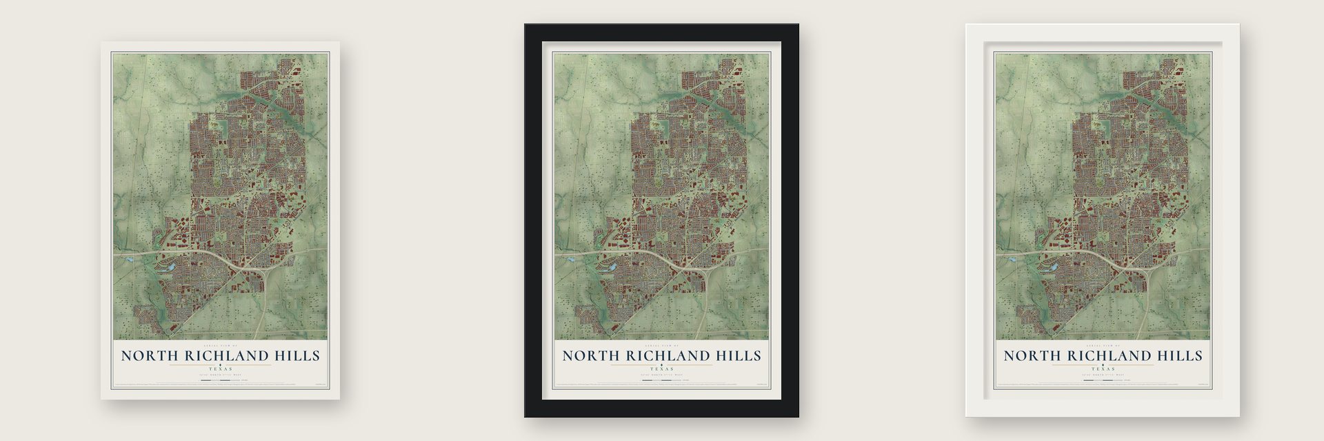
Unframed archival matte, a black wood frame or a white wood frame.
Up close
Geography Worth Displaying
This map was created using accurate cartographic data and authoritative geographic sources, including the U.S. Geological Survey and the Census Bureau. The map brings together terrain, waterways, roads, and building detail. The majority of the streets are labeled, houses are accurately depicted, and the topography is derived from government sources. Combining local data with carefully composed color and shading leads to this beautifully detailed North Richland Hills artwork for your wall.
Rather than simply showing street outlines, we’ve included as many of the street names as we could reasonably fit on the map while keeping their names legible. Zoom in on the high resolution preview to see exactly what’s on the map. We truly set out to create a statement piece for anyone who loves North Richland Hills. So whether it’s for you, or a gift for someone you love, we hope this map of North Richland Hills brings back fond memories.
Read the story behind this map of North Richland Hills, Texas from 2026.
Find your street
Names on the North Richland Hills map
Every name below is printed on this map. Look for your street, your school, the park where you played, or the pond down the road.
Places and landmarks2
- Smithfield
- Northfield Park
Streets and roads427
- Boulevard 26
- Grapevine Highway
- Davis Boulevard
- FM 1938
- Winter Park Drive
- Bedford Euless Road
- Iron Horse Boulevard
- Glenview Drive
- Holiday Lane East
- North Hills Drive
- Amundson Drive
- Bridge Street
- Mid Cities Boulevard
- Rufe Snow Drive
- North Tarrant Parkway
- Precinct Line Road
- Smithfield Road
- Holiday Lane
- Bursey Road
- Starnes Road
- Hightower Drive
- Riviera Drive
- Meadow Lakes Drive
- Harwood Road
- Chapman Drive
- Cummings Drive
- Newman Drive
- Bursy Road
- Douglas Lane
- Shady Grove Road
Show all 427 streets
- Susan Lee Lane
- Vance Road
- Main Street
- Briley Drive
- Maplewood Avenue
- Tourist Drive
- Little Ranch Road
- Rumfield Road
- Crosstimbers Lane
- Kirk Lane
- Blaney Avenue
- Emerald Hills Way
- Victoria Avenue
- City Point Drive
- Marilyn Lane
- Meadowview Terrace
- Red Oak Street
- Odell Street
- Lola Drive
- Onyx Drive South
- Cardinal Lane
- Terry Drive
- Continental Trail
- Deville Drive
- Windhaven Road
- Harmonson Road
- Browning Drive
- Trinidad Drive
- Shady Oaks Drive
- Hewitt Street
- Lariat Trail
- Redondo Street
- Crane Road
- North Richland Boulevard
- Dawn Drive
- Post Oak Drive
- Stonybrooke Drive
- Eden Road
- Onyx Drive North
- Noreast Drive
- Shadywood Lane
- Dick Lewis Drive
- Roberta Drive
- Bogart Drive
- Mackey Drive
- Janetta Drive
- Tabor Street
- Flory Street
- Booth Calloway Road
- Corona Drive
- Skylark Circle
- Buenos Aires Drive
- Deaver Drive
- Ridgetop Road
- Crabtree Lane
- Cloyce Court
- Hawk Avenue
- Vine Wood Drive
- Shauna Drive
- Woodhaven Drive
- Thornhill Drive
- Turner Drive
- Noneman Drive
- Manor Drive
- Martin Drive
- Newcastle Place
- Parker Boulevard
- Greenleaf Drive
- Meadow Road
- Nancy Lane
- Brandonwood Drive
- Simmons Road
- Strummer Drive
- Jamie Renee Lane
- Dream Dust Drive
- Irish Drive
- Moss Lane
- Grove Street
- Turner Terrace
- Ken Michael Court
- Green Valley Drive
- Northfield Drive
- Meandering Drive
- Tecnol Boulevard
- Lynn Terrace
- Oak Knoll Drive
- Chilton Drive
- Eldorado Drive
- Sunset Road
- Shady Lake Drive
- Clark Street
- Boulder Drive
- Greenacres Drive
- Hallmark Drive
- Ridgewood Drive
- Charles Street
- Bob Drive
- Willowcrest Drive
- Webster Street
- Ember Oaks Drive
- Robin Circle
- Aubrey Lane
- Mabell Street
- Martin Road
- Glendara Drive
- South College Circle
- Herman Jared Drive
- Wyoming Trail
- Valley Drive
- Jerrell Street
- Old Mill Road
- Venice Drive
- Combs Drive
- Circle Drive
- Kandy Lane
- Cancun Drive
- Havana Drive
- Price Drive
- Weyland Drive
- Shirley Drive
- Steward Lane
- King Ranch Road
- Arlie Lane
- Acorn Drive
- Hilltop Drive
- Scott Drive
- Yarmouth Avenue
- Nevada Trail
- Lowery Lane
- Wedgeview Drive
- Sunrise Drive
- Robins Way
- Hunter Lane
- Ashmore Drive
- Abbott Avenue
- Glenview Court
- Romford Way
- Ashcraft Drive
- Holland Drive
- Sayers Lane
- Amy Lane
- Wuliger Way
- Galway Lane
- Liberty Way
- Megan Lane
- Laura Street
- Belshire Drive
- Greenview Court
- Mike Court
- Glenwyck Drive
- Sable Lane
- Century Drive
- Stone Drive
- Circular Drive
- Spence Drive
- Woods Lane
- Timber Drive
- Pearl Street
- Perkins Drive
- Beverly Drive
- Dana Lane
- Tiffin Drive
- Sean Drive
- Clift Street
- Finch Drive
- Grace Drive
- Ruth Road
- Denton Highway
- Birchwood Drive
- Lake Way
- Wendell Drive
- Colorado Boulevard
- Richland Plaza Drive
- Reynolds Road
- Diamond Loch West
- College Circle
- John Autry Road
- Emerald Circle
- Amundson Road
- Karen Drive
- Shadow Wood Drive
- Ice House Drive
- Lake Side Circle
- Oakland Lane
- Grand Avenue
- Thaxton Parkway
- Cambridge Drive
- Briardale Drive
- Parkwood Drive
- Oak Ridge Drive
- North Park Drive
- Ulster Drive
- Standley Street
- Keeter Drive
- Hidden Oaks Drive
- Stratford Drive
- Central Avenue
- North Forty Road
- Jerrie Jo Drive
- Timberidge Drive
- Bridlewood Court
- Rodger Line Road
- Forest Glenn Drive
- Rogan Drive
- Scruggs Drive
- Payte Lane
- Kendra Lane
- Nob Hill Drive
- Rogene Street
- Miracle Lane
- Brookview Drive
- Wilson Lane
- Meadow Creek Road
- Meadow Crest Drive
- Spring Oak Drive
- Kristina Lane
- Northeast Parkway
- Valley Oaks Drive
- Rolling Ridge Drive
- Clay-Hibbins Road
- Pecan Ridge Drive
- South Fork Drive
- Coventry Circle
- Richfield Drive
- Thousand Oaks Drive
- Iron Horse Drive
- Thornway Drive
- Southern Hills Drive
- Meadow Oak Street
- Hadley Drive
- Sudbury Way
- Cross Keys Drive
- Forest Hills Court
- Pedernales Ridge
- Rufe Snow Road
- Ross Road
- Country Place Drive
- Plumwood Drive
- Thornridge Drive
- Boca Raton Drive
- Daley Avenue
- North Weyland Drive
- Mary Drive
- Windcrest Lane
- Reeves Street
- Browning Boulevard
- Steeple Ridge Drive
- Meadows Way
- Driffield Circle West
- Lincoln Drive
- Valley View Drive
- Acapulco Drive
- Devonshire Drive
- Honey Lane
- Topper Drive
- Lincolnshire Lane
- Timberhill Drive
- Edgemont Drive
- Trails Edge Drive
- Wood View Street
- Carolyn Drive
- Willman Avenue
- Oakl Leaf Drive
- Jade Circle
- Hunt Drive
- Wessex Street
- Castle Creek Road
- Oak Park Drive
- Hillside Drive
- Marie Street
- Walker Boulevard
- Georgia Avenue
- Gibbons Drive
- Steven Street
- Limerick Lane
- Mickey Street
- Ridge Run Drive
- Davis Lane
- Hudson Street
- Marti Lane
- Ford Drive
- Tipperary Court
- Madrid Street
- Stewart Drive
- Arthur Drive
- Bartay Drive
- Jannie Street
- Frawley Drive
- Randy Drive
- Eagle Crest Drive
- Jason Court
- Fireside Drive
- Caton Drive
- Carol Court
- Dent Road
- Coronet Avenue
- Walter Street
- Mark Court
- Snider Street
- Cork Lane
- Cox Lane
- Owen Drive
- Oak Court
- Elm Court
- Holiday Lane West
- Park Brook Drive
- Chapman Road
- Tarrant County Junior College
- Maple Drive
- Diamond Loch East
- Chasewood Drive
- Grand View Drive
- Circleview Drive
- Parchman Street
- Bewley Street
- Pearl Drive
- Mesa Drive
- Brandi Lane
- Bradley Drive
- Silverleaf Drive
- Brookridge Drive
- Jamaica Circle
- Cottonwood Court
- Spring River Lane
- Northridge Boulevard
- Ridgeway Avenue
- Euclid Avenue
- Oliver Drive
- Chatham Road
- Short Street
- Bonzer Street
- Cortland Drive
- Vermillion Street
- Thorndyke Drive
- Sherbert Drive
- Madison Drive
- Suncrest Court
- Orange Valley Drive
- Stephanie Drive
- Blackman Road
- Rolling Hills Drive
- Laurel Lane
- Harvest Hill Road
- Brazos Bend Drive
- Harrell Road
- Ridge Crest Drive
- Wishing Tree Lane
- Cotton Belt Lane
- Desiree Lane
- Cedar Bluffs Drive
- Rogers Drive
- Gary Court
- Jackie Lee Street
- Lucian Drive
- Beetle Nut Lane
- Acts Court
- Gillis Court
- Mimosa Drive
- Mockingbird Lane
- Lynda Lane
- Conn Drive
- Greenwood Way
- Hanging Cliff Place
- Bursey Road South
- Cynthia Circle
- Winchester Road
- Terrell Drive
- Red River Run
- Glenhurst Drive
- Chisholm Trail
- South Sandhurst Lane
- Kris Street
- Cylinda Sue Circle
- Spanish Oaks Drive
- Ruthette Drive
- Bogota Drive
- Steeplewood Drive
- Belaire Drive
- Edinburg Drive
- Daleview Trail
- Browning Court
- Bobwhite Drive
- Havenwood Drive
- Royal Ridge Drive
- Winslow Court
- Comis Drive
- Pleasant Ridge Drive
- Lantana Drive
- Finian Lane
- Stardust Drive
- Industrial Park Boulevard
- Lucas Lane
- Rio Vista Court
- Hilton Head Drive
- Carson Street
- Skylark Court
- Johns Way
Names are listed as they appear on the printed map. Zoom into the product photos to find them.
About North Richland Hills, Texas
North Richland Hills is a Tarrant County city shaped by the postwar transformation of farmland into residential neighborhoods. Clarence Jones developed his farm as a housing area in 1950, and voters incorporated the city in 1953. Its population rose from an estimated 7,000 in 1958 to 69,917 in the 2020 census.
- Regional SettingThe city lies eight miles northeast of downtown Fort Worth and eight miles west of Dallas-Fort Worth International Airport.
- Early DevelopmentClarence Jones turned his farm into a residential area in 1950 and named it after a successful development to the south.
- City Since 1953Residents incorporated North Richland Hills by election on April 25, 1953.
- Steady GrowthPopulation estimates climbed from 15,735 in 1970 to 38,959 in 1990, then reached 55,635 in 2000.
- School ConnectionsBirdville Independent School District serves the city, while Keller Independent School District serves its northernmost area.
Keep exploring Texas
North Richland Hills is one of 2,049 Texas towns we've mapped. Every dot on the map is a print of its own.
The search covers every state, Texas first.
Near North Richland Hills
Order 2 or more town maps and save 10%. Shown in the size and finish you picked above, so they hang as a set.
- Watauga 12" x 18" / Archival Matte Print $39.99
- Hurst 12" x 18" / Archival Matte Print $39.99
- Richland Hills 12" x 18" / Archival Matte Print $39.99
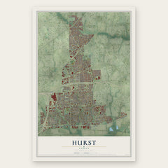
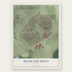
More maps nearby: Haltom City, Colleyville, Bedford, Keller and Blue Mound.
The art of mapping a place
How This Map Was Made
Real places. Remarkable detail. Discover the layers that turn geographic data into a map of home.

The view from above
Aerial imagery reveals the character of the land: woodland, open fields, and the patterns of a place.

The shape of the land
Elevation data brings hills, valleys, and subtle changes in the landscape into view.

The details of home
Roads, waterways, and building footprints come together to make the map feel unmistakably local.

Geography becomes art
Considered color, shading, and typography bring the layers together in a map made for your wall.


Process illustrated with Mendon, Massachusetts. Aerial imagery: USDA NAIP. Terrain: USGS 3D Elevation Program. Map details and finished artwork: KNOWOL.
The Details
About This Print
Choose an archival matte print, or a black or white Ayous wood frame. The archival matte print is unframed.
Select your size and finish above to see the matching product image and price.
Materials & Craftsmanship
A contemporary map with the character of a classic atlas, printed on archival matte paper. Optional frames are made from Ayous wood.
Your printed map does not include the watermark shown in the full-map preview.
Shipping & Delivery
Free shipping within the United States. Every print is made to order in the USA.
Buying a gift? Add a note in your cart and we'll include it. We never put prices in the package.
Prints ship within 2 to 3 business days. Allow 7 to 10 days total from ordering for delivery. Timing may vary during holidays or periods of high order volume.
Read our shipping policy.
Returns and damaged prints
Each print is made to order. Change-of-mind refunds are not available after production.
If your print arrives damaged, misprinted or incorrect, contact support@knowol.com within 30 days of receiving it. Include your order number, photos and a description of the issue.
Read our full refund and replacement policy. For questions about your order, email support@knowol.com.