
Search for another town

Free U.S. delivery 7 to 10 days after you order
Hurst, Texas Map Art
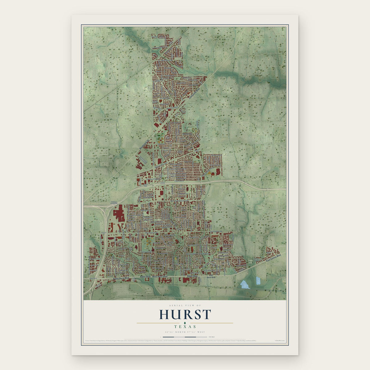
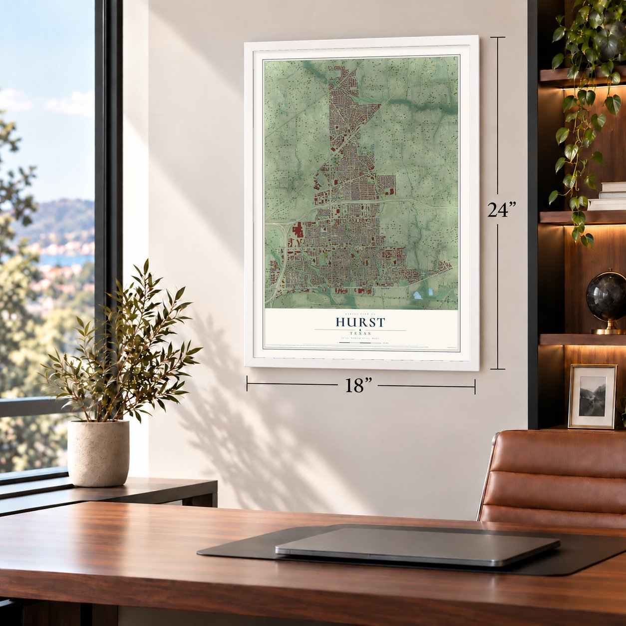
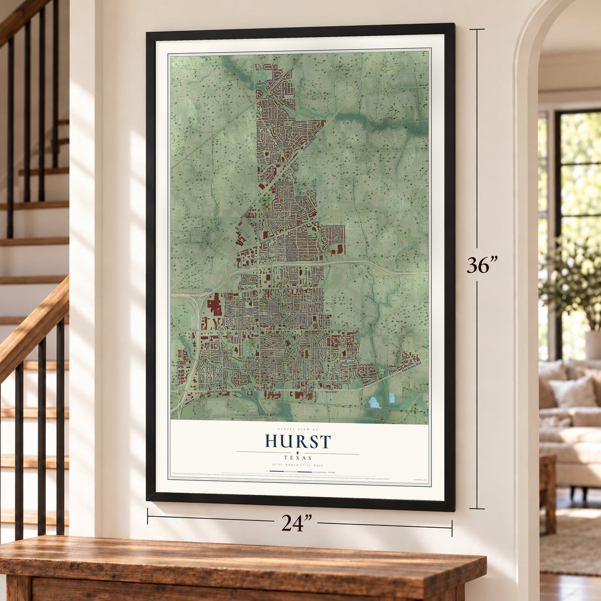
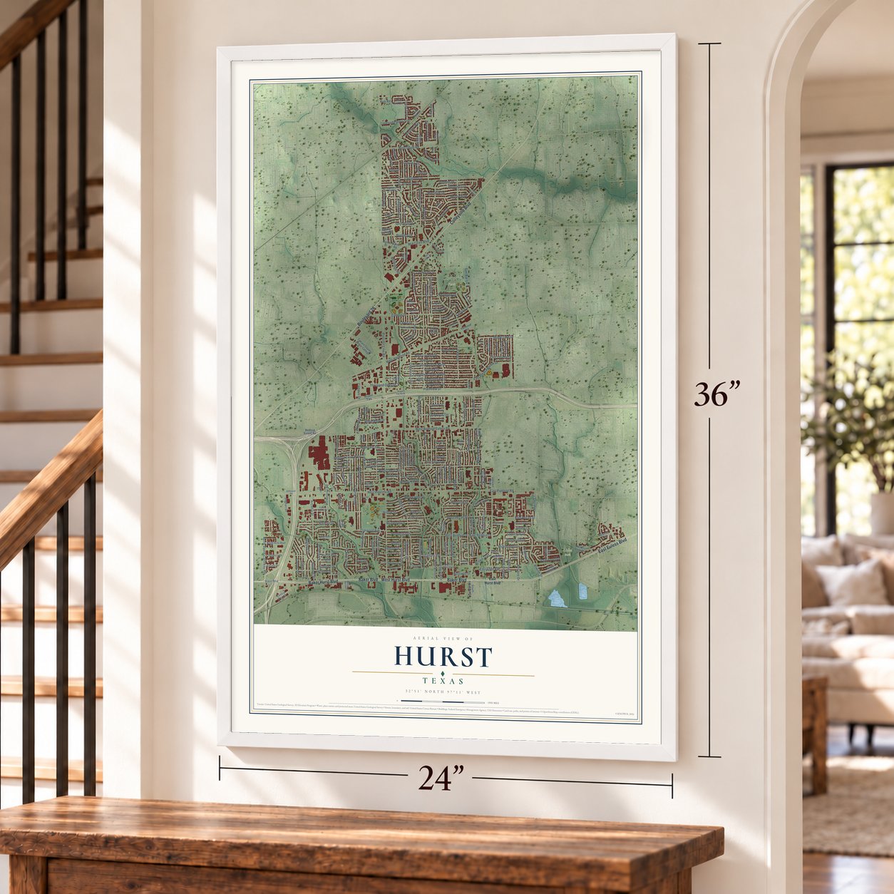
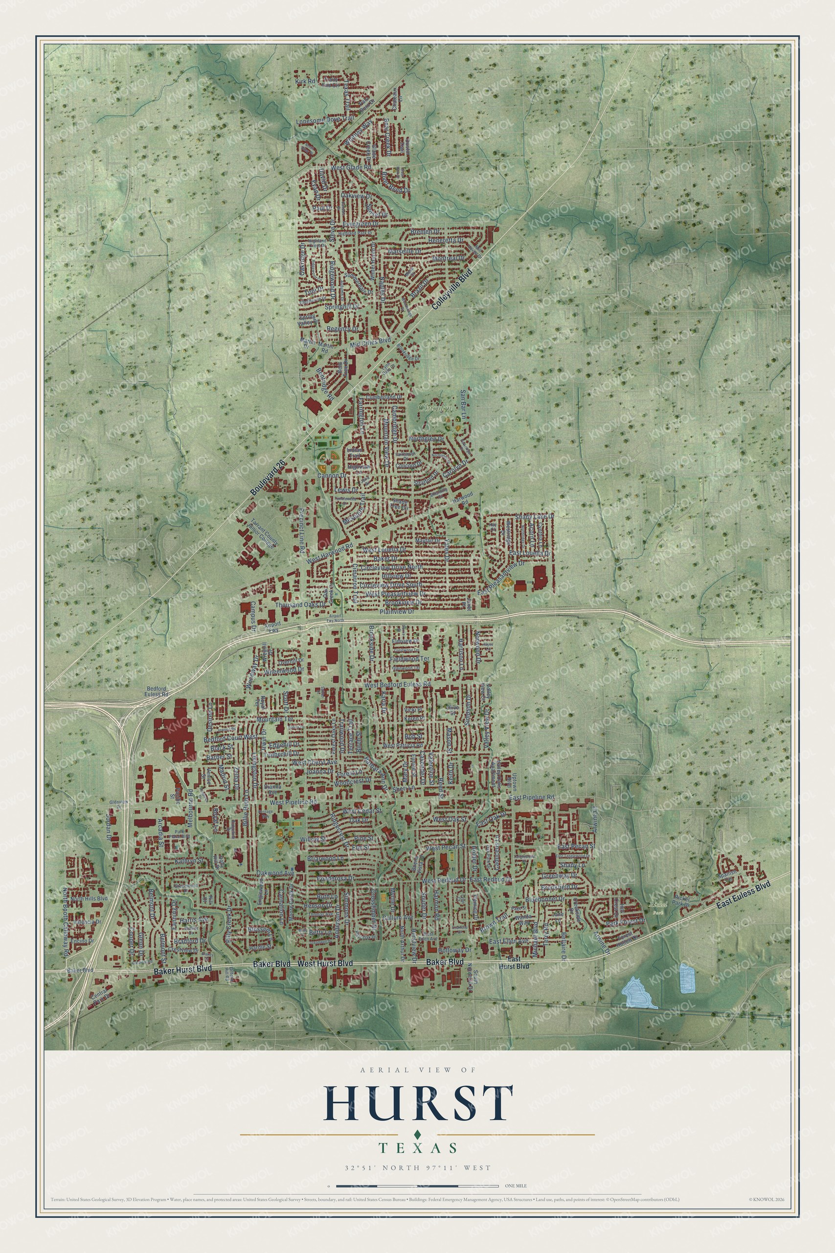
A new map of Hurst, Texas, made in 2026 and printed to order on thick archival matte paper.
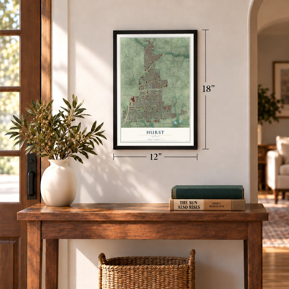
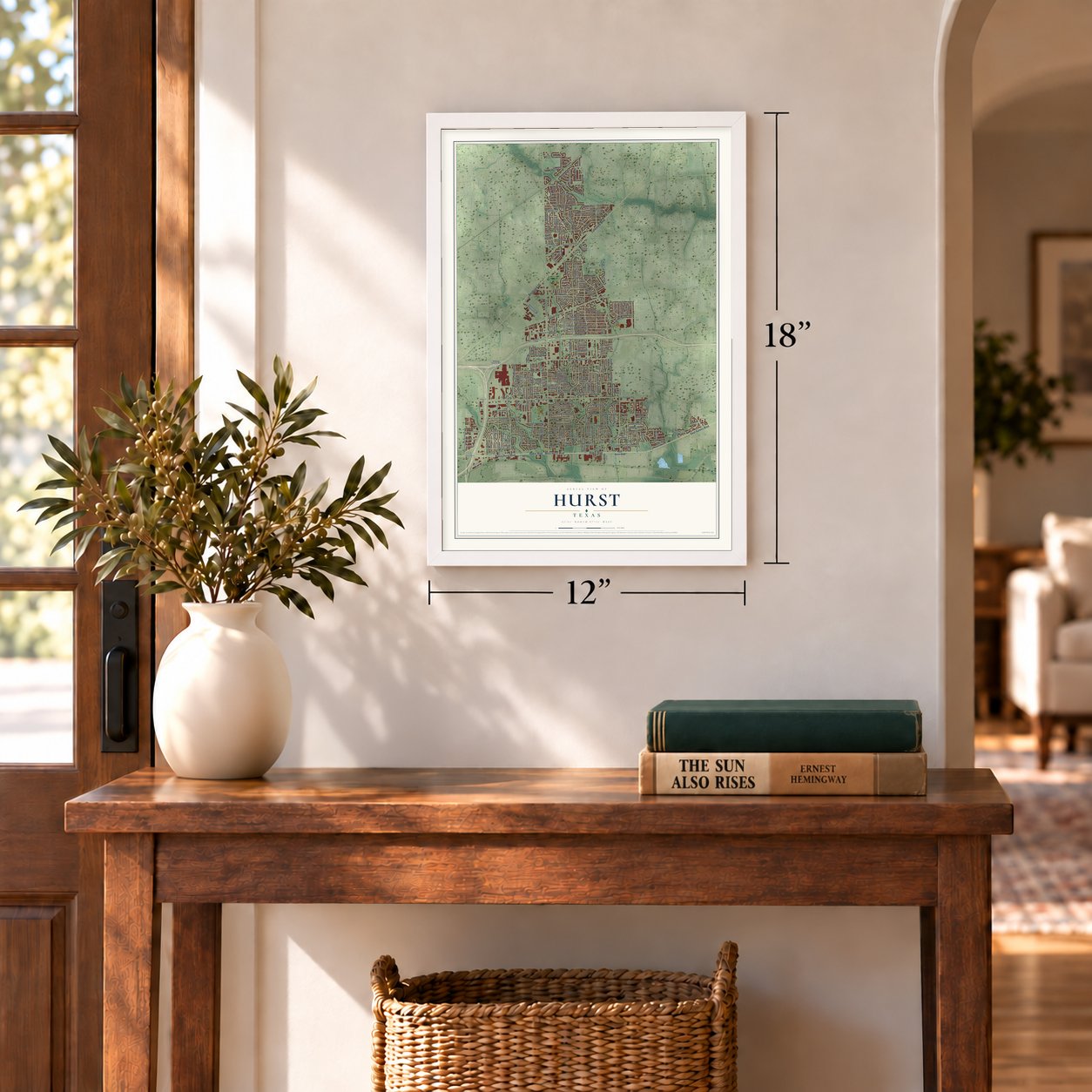
12" x 18" Archival Matte Print
A Map of Home. A Work of Art.
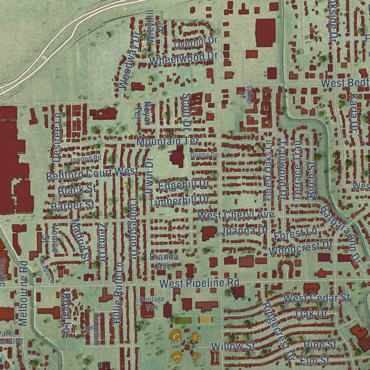
This beautifully detailed map of Hurst, Texas was created in 2026 using aerial imagery combined with modern topographical, census, street and landmark data. It's a modern aerial view of Hurst in Tarrant County, Texas, that combines modern data with a vintage aesthetic. Zoom in on the preview and look for your block.
Three ways to hang it
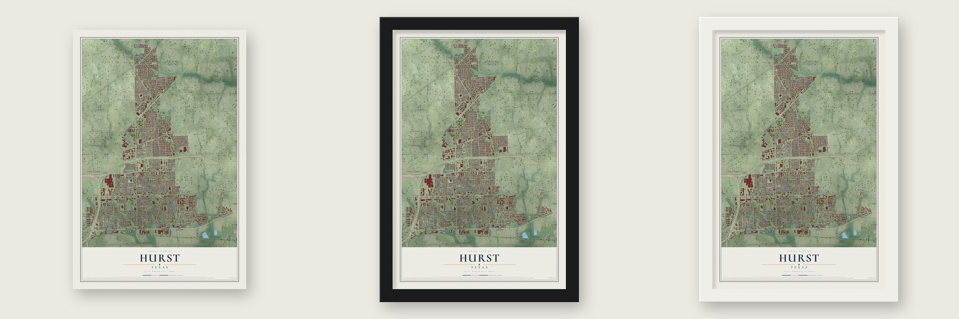
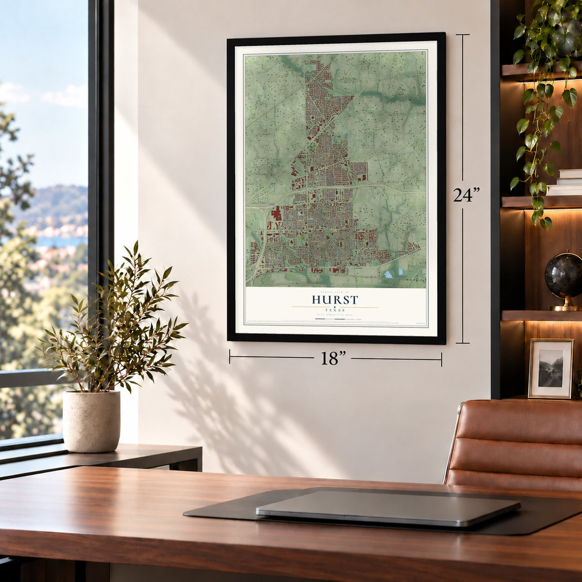
Unframed archival matte, a black wood frame or a white wood frame.
Up close
Real geography. Art worth displaying.
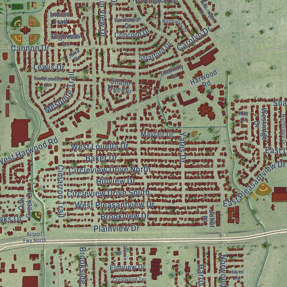
This map was created using accurate cartographic data and authoritative geographic sources, including the U.S. Geological Survey and the Census Bureau. The map brings together terrain, waterways, roads, and building detail. The majority of the streets are labeled, houses are accurately depicted, and the topography is derived from government sources. Combining local data with carefully composed color and shading leads to this beautifully detailed Hurst artwork for your wall.
Rather than simply showing street outlines, we’ve included as many of the street names as we could reasonably fit on the map while keeping their names legible. Zoom in on the high resolution preview to see exactly what’s on the map. We truly set out to create a statement piece for anyone who loves Hurst. So whether it’s for you, or a gift for someone you love, we hope this map of Hurst brings back fond memories.
About Hurst, Texas
Located in Texas, Hurst is a city within Tarrant County. The 2020 census recorded 40,413 residents.
“The Indiana clans established a church and school at the site in the late 1870s and thereafter the community always supported at least one church and one school.”
- 40,413 residentsThe Census Bureau recorded this population in 2020.
- Tarrant CountyThis city is part of the county.
Find your street
Names on the Hurst map
Every name below is printed on this map. Look for your street, your school, the park where you played, or the pond down the road.
Places and landmarks2
- Chisolm Park
- Rickel Park
Streets and roads272
- East Euless Boulevard
- West Hurst Boulevard
- Boulevard 26
- Baker Hurst Boulevard
- Baker Boulevard
- Colleyville Boulevard
- North Booth Calloway Road
- West Pipeline Road
- Circleview Drive North
- West Harwood Road
- Hillview Drive
- East Pleasantview Drive
- Precinct Line Road
- Hurstview Drive
- Norwood Drive
- West Bedford Euless Road
- West Redbud Drive
- Cavender Drive
- Harrison Lane
- Brown Trail
- West Cheryl Avenue
- Mid Cities Boulevard
- Melbourne Road
- Arcadia Street
- Bedford Court West
- Cimarron Trail
- Cannon Drive
- Willow Street
- Springhill Drive
- Mountain View Drive
Show all 272 streets
- West Pleasantview Drive
- Bellaire Drive
- Bluebonnet Drive
- Ridgecrest Drive
- Livingston Drive
- Billie Ruth Lane
- Mary Drive
- Circleview Drive South
- Yates Drive
- Cullum Avenue
- Oakwood Avenue
- Bremen Drive
- East Pecan Street
- Valentine Street
- Heneretta Drive
- Henson Drive
- Holder Drive
- Trailwood Drive
- West Cedar Street
- West Louella Drive
- Brookside Drive
- West Glade Road
- Simpson Drive
- Karla Drive
- Montreal Drive
- Baker Drive
- Harmon Road
- Plainview Drive
- Evergreen Drive
- Mountain Terrace
- East Pipeline Road
- Souder Drive
- Brookview Drive
- West Oak Street
- Irwin Drive
- Woodcrest Drive
- Arwine Drive
- Elm Street
- Steve Drive
- Zelda Drive
- Scott Drive
- Marseille Drive
- Kathryn Street
- Bear Creek Drive
- Anderson Drive
- Michael Boulevard
- Ponderosa Drive
- Belmont Drive
- Belmont Street
- East Ellen Avenue
- Briarwood Lane
- East Redbud Drive
- East Louella Drive
- Reed Street
- Glenn Drive
- Simmons Drive
- Barbara Ann Drive
- Thousand Oaks Drive
- Pine Street
- Sheri Lane
- Joanna Drive
- Edgehill Drive
- Timberhill Drive
- Cambridge Drive
- Oak Drive
- Fanning Drive
- Terry Road
- Texas Trail
- Billy Creek Drive
- Cooper Drive
- Northglen Drive
- Oakview Drive
- Caduceus Lane
- Regency Drive
- Park Forest Drive
- Desiree Lane
- Lonesome Dove Trail
- Fieldwood Terrace
- Mesquite Trail
- Naples Drive
- Shady Lake Drive
- Wheelwood Drive
- Farrington Lane
- Whitney Way
- Bradford Drive
- Brookfield Drive
- Woodway Drive
- Shady Lane
- Campus Drive
- Ruth Lane
- Lewis Drive
- East Oak Drive
- Ridgewood Drive
- Toni Drive
- Brazil Drive
- West Pecan Street
- Crosstimber Drive
- Terrace Trail
- Carnation Lane
- Birch Street
- Valley View Drive
- Myrtle Drive
- Greenway Drive
- River Bend Drive
- Bentridge Road
- Forest Lane
- Oakridge Drive
- Blossom Lane
- Acorn Lane
- Carolyn Drive
- Barber Street
- Madrid Street
- Arwine Court
- Harris Avenue
- Holloway Drive
- Sunset Drive
- Jordan Drive
- Royal Lane
- Black Street
- Evan Drive
- San Bar Lane
- Keith Drive
- Betty Lane
- Bob Street
- Mason Street
- David Drive
- Kirk Road
- Paul Drive
- East Hurst Boulevard
- Rickel Park Drive
- Harwood Road
- Martin Drive
- Tarrant County Junior College
- Valley Oaks Apartment
- Buena Vista Drive
- Forest Oaks Lane
- North Arthur Drive
- Crestview Drive
- Oak Creek Drive
- Shade Tree Circle
- Wanda Way
- Royal Terrace
- Westridge Drive
- Airport Fwy
- Trails End Circle
- Bedford Euless Road
- Moore Creek Drive
- Central Park Drive
- Wreyhill Drive
- Eunice Street
- Bent Tree Drive
- Glade Creek Drive
- North Hills Boulevard
- Cumberland Drive
- West Patricia Road
- Winter Haven Drive
- Summerdale Drive
- Cynthia Lane
- South Norwood Drive
- Valencia Drive
- Forest Hollow Drive
- Englewood Lane
- Uptown Boulevard
- Mayfair Drive
- Stratford Drive
- Dustin Trail
- Creekside Drive
- Chateaux Lane
- Concord Drive
- Palo Duro Drive
- Elmview Drive
- Encino Drive
- Overhill Drive
- Fleming Drive
- Hill Crest Drive
- Dianna Avenue
- Spanish Circle
- Spring Valley Drive
- Hardie Street
- Highview Lane
- Venice Street
- Martin Road
- Keren Place
- Vicki Place
- Indian Trail
- Valley View Court
- Juliet Place
- Pacific Street
- Jane Lane
- Holly Hill Drive
- Olive Street
- Hill Court
- Glenview Drive
- Highland Park Drive
- Park Place Boulevard
- Glenhaven Drive
- Oak Park Drive
- Highland Crest Drive
- Autumn Drive
- Thomas Avenue
- Post Oak Drive
- Brookridge Drive
- Glenwood Terrace
- Greenwood Drive
- Page Street
- Walker Drive
- West Ellen Avenue
- Mill Haven Drive
- Fairhaven Drive
- Lynn Court
- Ridgeline Drive
- Chantilly Court
- Lynn Dale Court
- Gifford Hill Road
- Julia Drive
- Mesa Court
- Kay Court
- Sylvan Drive
- Oakdale Drive
- Tumbleweed Drive
- Ridgewood Circle
- Northridge Drive
- Parkridge Drive
- East Tanglewood Drive
- Normandy Drive
- Crestwood Terrace
- Treadwell Drive
- Inwood Road
- North Riley Place
- Heritage Way
- Tanglewood Drive
- Woodbridge Drive
- Cardinal Road
- Blakey Court
- Donna Drive
- Hayes Lane
- Acapulco Drive
- Airport Fwy North
- Charlene Drive
- Dorris Street
- Clear Fork Drive
- Betty Court
Names are listed as they appear on the printed map. Zoom into the product photos to find them.
The art of mapping a place
How This Map Was Made
Real places. Remarkable detail. Discover the layers that turn geographic data into a map of home.

The view from above
Aerial imagery reveals the character of the land: woodland, open fields, and the patterns of a place.

The shape of the land
Elevation data brings hills, valleys, and subtle changes in the landscape into view.

The details of home
Roads, waterways, and building footprints come together to make the map feel unmistakably local.

Geography becomes art
Considered color, shading, and typography bring the layers together in a map made for your wall.


Process illustrated with Mendon, Massachusetts. Aerial imagery: USDA NAIP. Terrain: USGS 3D Elevation Program. Map details and finished artwork: KNOWOL.
The Details
About This Print
Choose an archival matte print, or a black or white Ayous wood frame. The archival matte print is unframed.
Select your size and finish above to see the matching product image and price.
Materials & Craftsmanship
A contemporary map with the character of a classic atlas, printed on archival matte paper. Optional frames are made from Ayous wood.
Your printed map does not include the watermark shown in the full-map preview.
Shipping & Delivery
Free shipping within the United States. Every print is made to order in the USA.
Buying a gift? Add a note in your cart and we'll include it. We never put prices in the package.
Prints ship within 2 to 3 business days. Allow 7 to 10 days total from ordering for delivery. Timing may vary during holidays or periods of high order volume.
Read our shipping policy.
Returns and damaged prints
Each print is made to order. Change-of-mind refunds are not available after production.
If your print arrives damaged, misprinted or incorrect, contact support@knowol.com within 30 days of receiving it. Include your order number, photos and a description of the issue.
Read our full refund and replacement policy. For questions about your order, email support@knowol.com.
Find your town
Looking for another city?
Find a map of home in our Texas collection, or any town in the country.
Nearby
Maps of towns near Hurst
Know someone from one of these towns? Their map makes a great gift.
 Bedford
, Texas
From $39.99See the map
 North Richland Hills
, Texas
From $39.99See the map
 Richland Hills
, Texas
From $39.99See the map
More maps nearby: Colleyville, Watauga, Haltom City, Euless and Keller.