
Search for another town

Free U.S. delivery 7 to 10 days after you order
Bedford, Texas Map Art
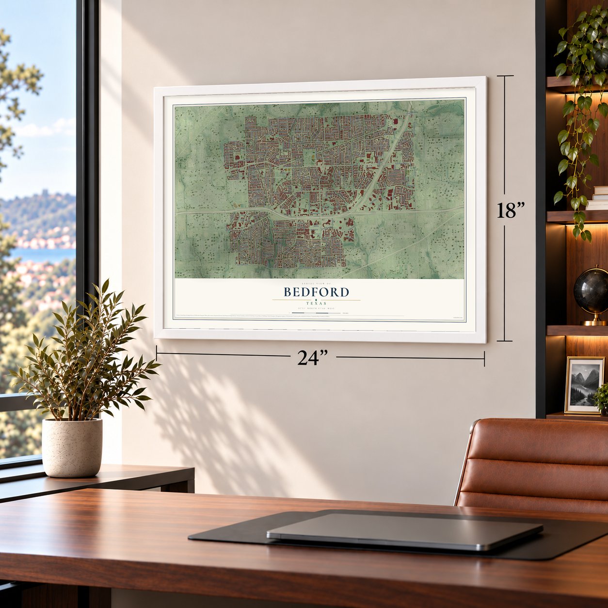
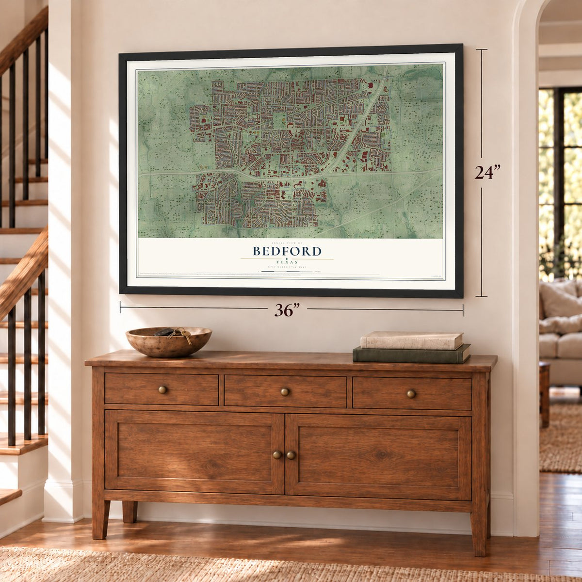
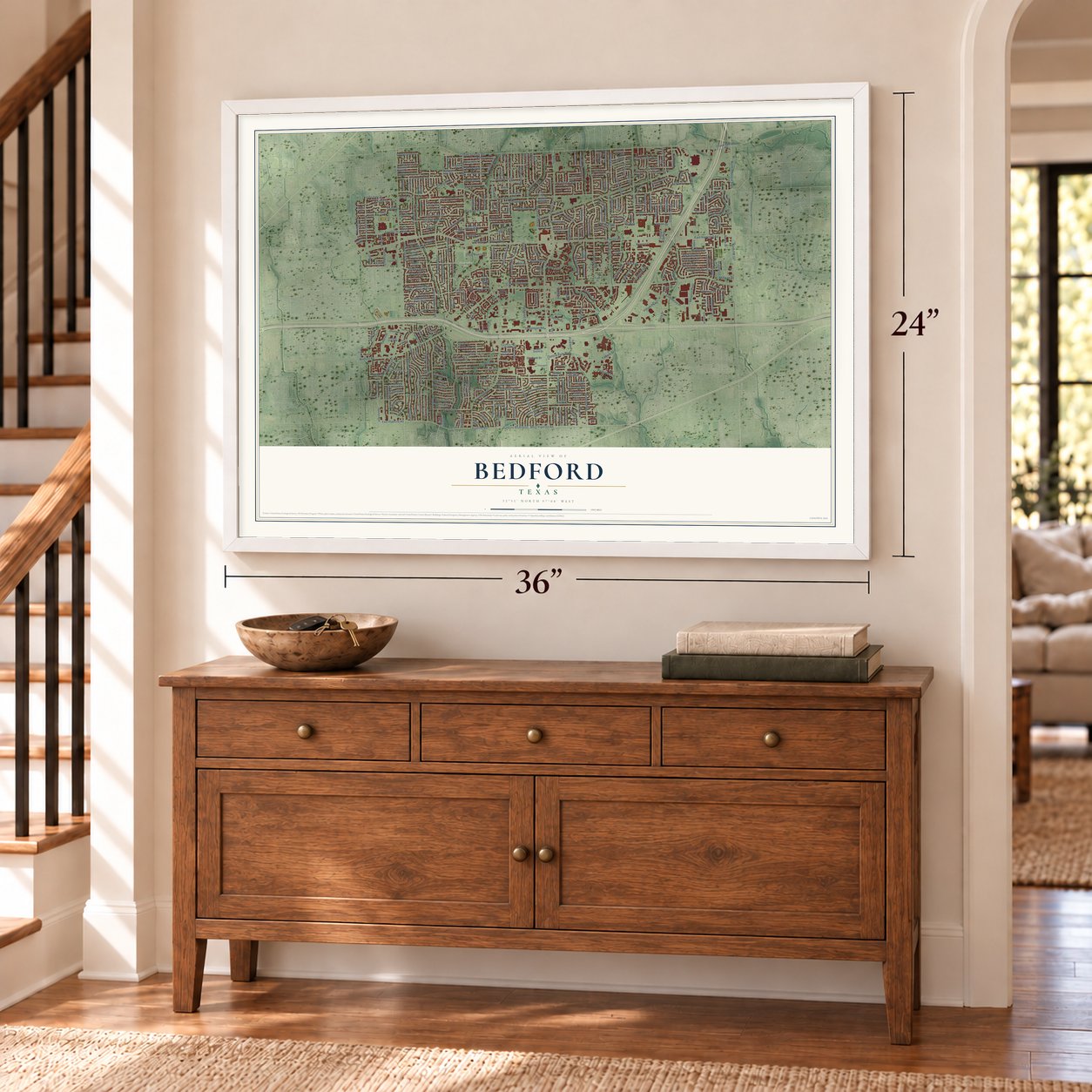
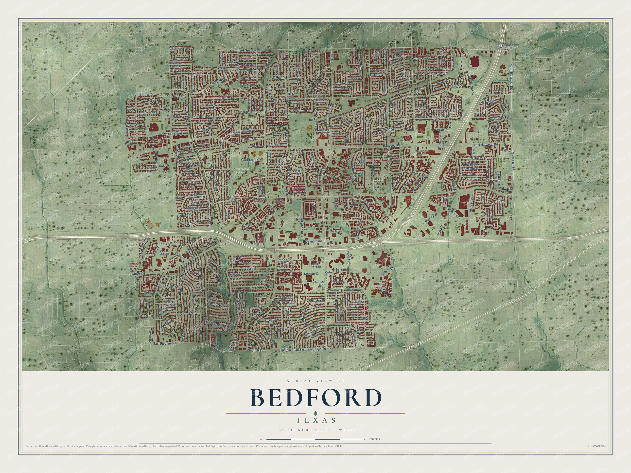
A new map of Bedford, Texas, made in 2026 and printed to order on thick archival matte paper.
12" x 18" Archival Matte Print
A Map of Home. A Work of Art.
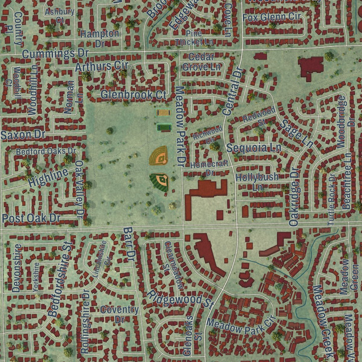
This beautifully detailed map of Bedford, Texas was created in 2026 using aerial imagery combined with modern topographical, census, street and landmark data. It's a modern aerial view of Bedford in Tarrant County, Texas, that combines modern data with a vintage aesthetic. Zoom in on the preview and look for your block.
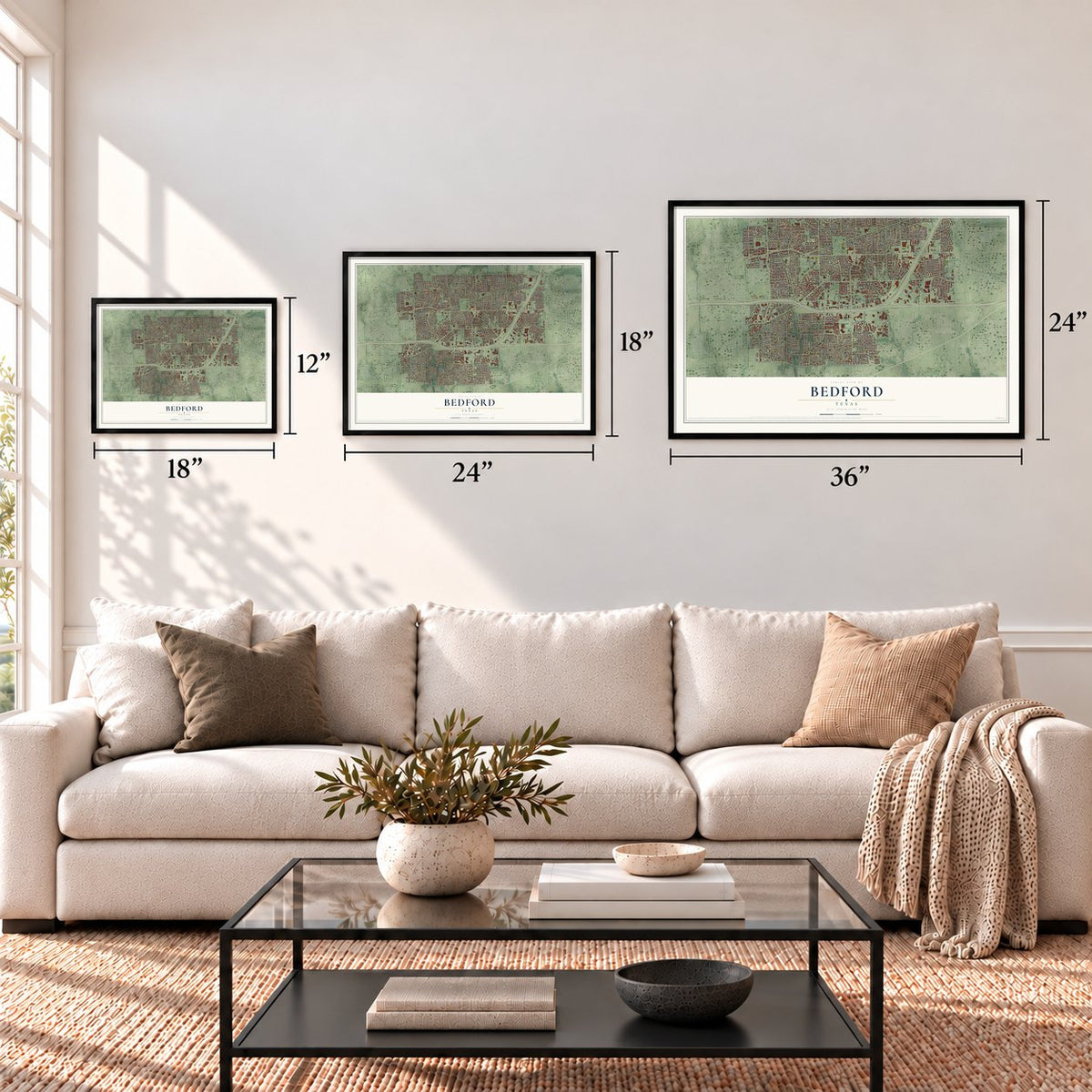
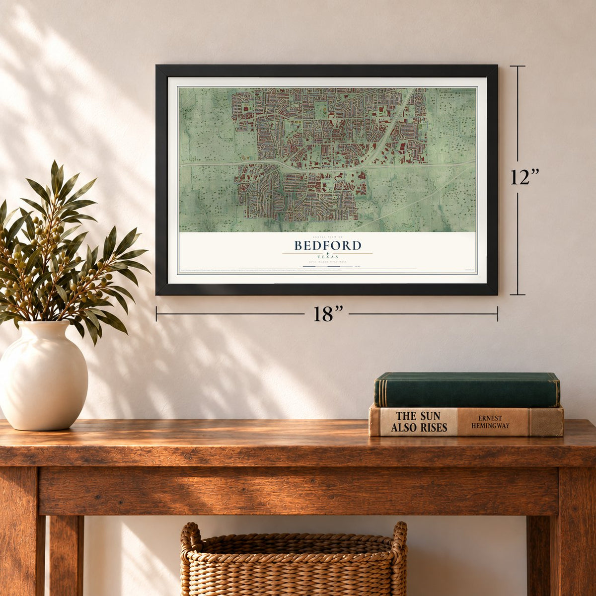
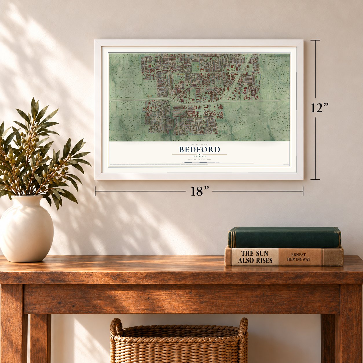
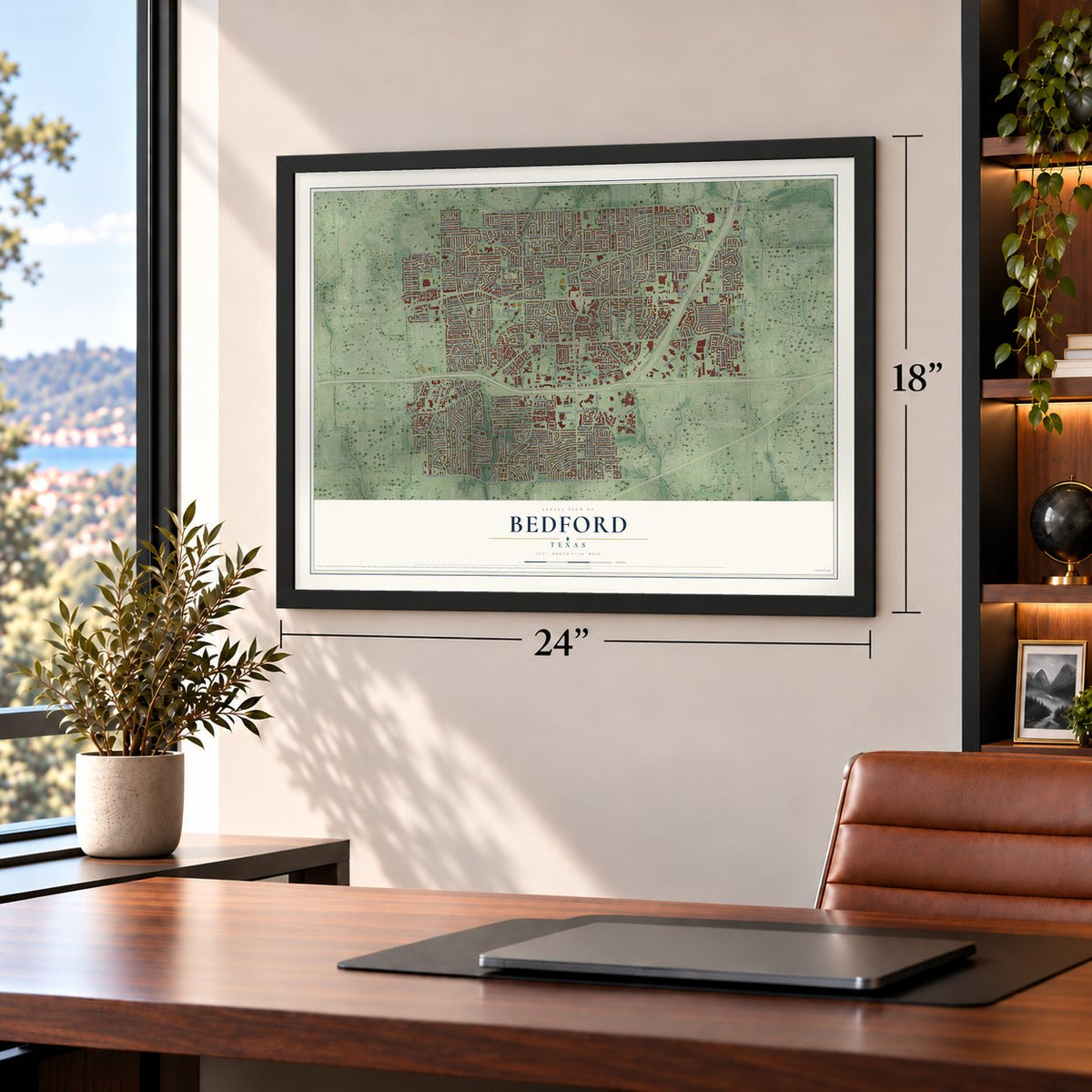
Three ways to hang it
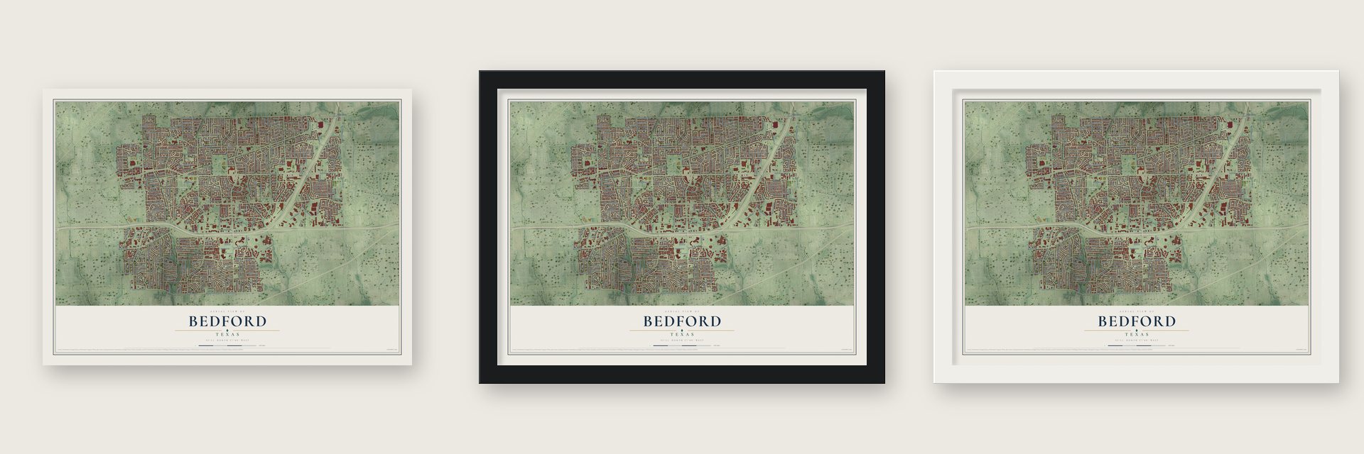
Unframed archival matte, a black wood frame or a white wood frame.
Up close
Real geography. Art worth displaying.
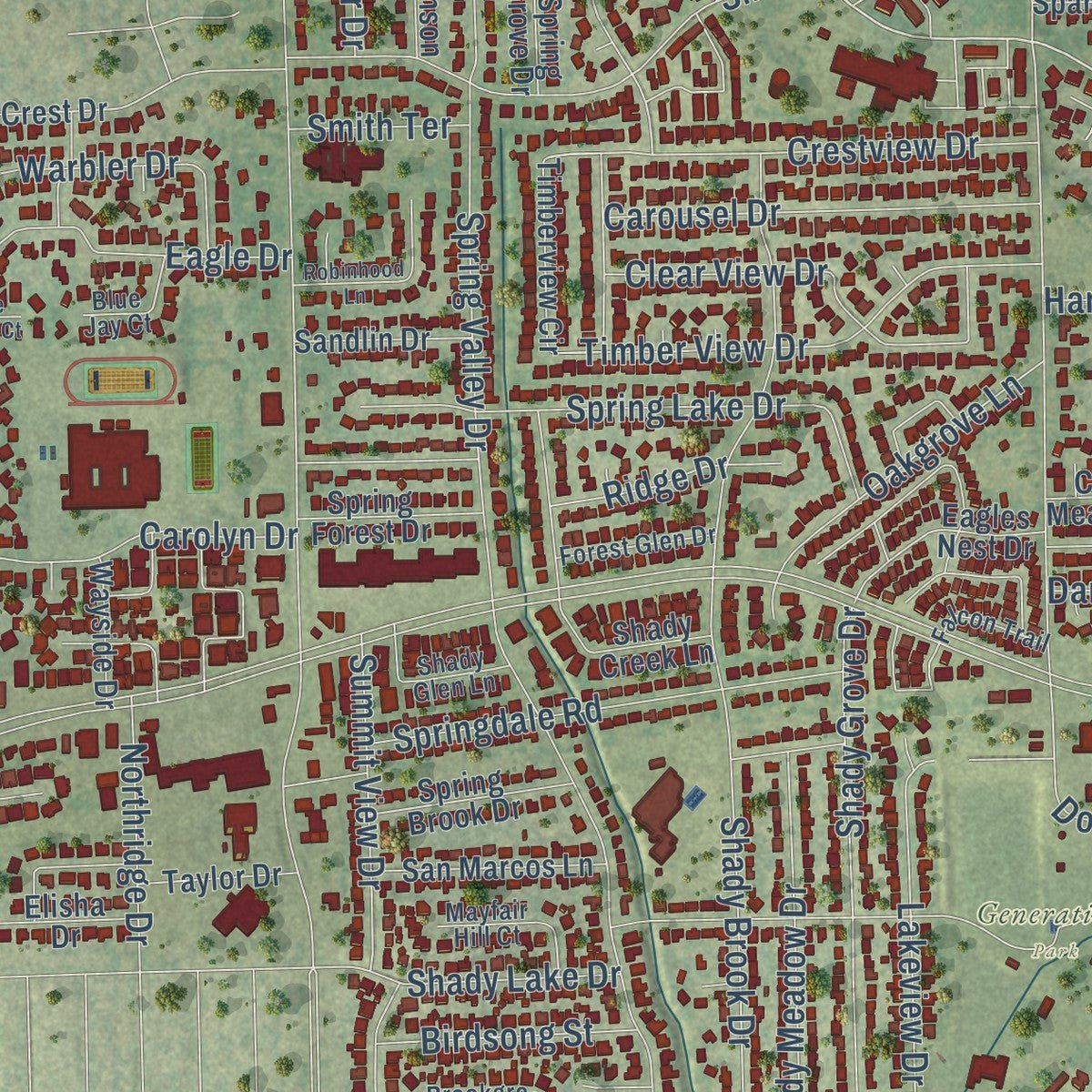
This map was created using accurate cartographic data and authoritative geographic sources, including the U.S. Geological Survey and the Census Bureau. The map brings together terrain, waterways, roads, and building detail. The majority of the streets are labeled, houses are accurately depicted, and the topography is derived from government sources. Combining local data with carefully composed color and shading leads to this beautifully detailed Bedford artwork for your wall.
Rather than simply showing street outlines, we’ve included as many of the street names as we could reasonably fit on the map while keeping their names legible. Zoom in on the high resolution preview to see exactly what’s on the map. We truly set out to create a statement piece for anyone who loves Bedford. So whether it’s for you, or a gift for someone you love, we hope this map of Bedford brings back fond memories.

About Bedford, Texas
Bedford is a city in Tarrant County, and the 2020 census recorded 49,928 residents.
- The 2020 countThe census recorded 49,928 residents in Bedford.
- Beginnings in 1874Historical accounts date the community's beginnings to 1874.
- Post office in 1877A post office opened here in 1877.
Find your street
Names on the Bedford map
Every name below is printed on this map. Look for your street, your school, the park where you played, or the pond down the road.
Places and landmarks1
- Generations Park
Streets and roads378
- Central Drive
- Cheek Sparger Road
- North FM 157
- North Industrial Boulevard
- West Pipeline Road
- Pipeline Road
- Pipeline Road East
- Chinaberry Drive
- Mulberry Lane
- East Pipeline Road
- Patti Drive
- Cummings Drive
- Cottonwood Lane
- East Harwood Road
- Somerset Circle
- Harwood Road
- Bedford Road
- Forest Ridge Drive
- Brown Trail
- Murphy Drive
- Martin Drive
- Shady Brook Drive
- Schumac Lane
- Spring Valley Drive
- Circle Lane
- Hospital Parkway
- Central Park Boulevard
- McLain Road
- Wade Drive
- Shady Lane
Show all 378 streets
- Shady Grove Drive
- Stonegate Drive North
- Shady Lake Drive
- Lexington Place
- Dora Street
- Meadow Park Drive
- Hurst Drive
- Gettysburg Place
- Glenda Drive
- Scenic Hills Drive
- Somerset Terrace
- King Drive
- Willow Bend
- Jerry Lane
- Brookside Drive
- Simpson Terrace
- Winchester Way
- Blue Quail Lane
- Pecan Circle
- Park Avenue
- Meadow Creek
- Park Place Boulevard
- Donna Lane
- Savannah Way
- Knoxville Drive
- Lakeview Drive
- Springdale Road
- Woodpark Lane
- Spring Lake Drive
- Welwyn Way Drive
- Martha Drive
- Bedford Circle
- Parkwood Drive
- Ashbury Lane
- Woodson Drive
- Barr Drive
- Forest Drive
- Reliance Parkway
- Rolling Meadows Drive
- Belle Street
- Timber View Drive
- Bryan Drive
- Shirley Way
- Morrow Drive
- Russell Lane
- Brasher Lane
- Renee Street
- Crestview Drive
- Carolyn Drive
- Briar Drive
- Plaza Parkway
- Harwood Terrace
- Forum Parkway
- Ridgewood Street
- Shady Meadow Drive
- Oak Creek Lane
- Bedfordshire Street
- Carousel Drive
- Rankin Drive
- Lee Drive
- Laurel Lane
- Tennis Drive
- Crystal Spring
- Wimbleton Drive
- Doug Rivers Drive
- Hillwood Way
- Edgecliff Drive
- Queens Way
- Clear View Drive
- Overhill Street
- Oakridge Drive
- Eagle Drive
- Pin Oak Lane
- Andover Drive
- Stonegate Drive
- Channing Lane
- Ashford Drive
- Sage Lane
- Meadow Wood Lane
- Mossy Oak Lane
- Edgewater Drive
- Ravenswood Drive
- Commerce Place
- Oakgrove Lane
- Summit View Drive
- Tibbets Drive
- Stonecourt Drive
- Willow Lane
- Sherwood Drive
- Greendale Drive
- Glenbrook Court
- Woodfield Way
- Warwick Street
- Dorchester Drive
- Dee Lane
- Merrill Drive
- Brookshire Drive
- Parkview Lane
- Plaza Drive
- Hardisty Road
- Warbler Drive
- Hackberry Lane
- Pinewood Street
- Oak Brook Drive
- Arthurs Circle
- Willow Creek Way
- Walnut Drive
- Columbus Court
- Aberdeen Drive
- Medford Drive
- Meandering Way
- Birdsong Street
- Brookhaven Circle
- Durango Ridge
- Saxon Drive
- Oakhurst Drive
- Princess Street
- Northridge Drive
- Loma Verde Drive
- Highline
- Danielle Drive
- Sapphire Street
- Annette Drive
- Shoalmont Road
- Phyllis Street
- Post Oak Drive
- Cedar Ridge Drive
- Ridge Drive
- Prestwick Street
- Gregory Avenue
- McCurry Avenue
- Derby Circle
- Atlanta Drive
- Oak Leaf Lane
- Windsong Lane
- Live Oak Lane
- Huntwich Drive
- Stadium Drive
- Sequoia Lane
- Monette Drive
- Vintage Way
- Susan Drive
- Vicksburg Drive
- Stonegate Court
- Emerald Street
- Memphis Drive
- Patricia Lane
- Storm Drive
- Fieldstone Drive
- Realistic Drive
- Wedglea Drive
- Wimberly Drive
- Acorn Street
- Walter Street
- Red Oak Lane
- Chittam Lane
- Versante Drive
- Smith Terrace
- Misty Court
- James Lane
- Horizon Drive
- Cheryl Avenue
- Greg Drive
- Maple Drive
- Midway Court
- Harber Drive
- Cindy Lane
- Sylvia Drive
- Field Lane
- Carlisle Street
- Village Circle
- Woodvale Drive
- Woodbridge Drive
- Paint Brush Lane
- Park Place Avenue
- Aspenwood Drive
- Monterrey Street
- Fox Glenn Circle
- Meadow Park Circle
- Bedford Court East
- Pebblestone Lane
- Spring Grove Drive
- Rustic Woods Drive
- Bluebonnet Lane
- Blessing Court
- Beachtree Lane
- Saddlebrook Street North
- Regents Park Street
- Timberline Street
- Spring Brook Drive
- Shady Ridge Drive
- Chateau Valee Circle
- Saddlebrook Drive South
- Timberview Circle
- Kentwood Circle
- Devonshire
- Cheek-Sparger Road
- Woodhill Lane
- Arbor Mill Circle
- Shenandoah Drive
- Country Meadows Drive
- Meadow Green
- Shady Wood Drive
- Norman Lane
- Meadow Vw
- Windsor Street
- Oak Valley Drive
- Old Orchard Lane
- San Marcos Lane
- Mountain Laurel Lane
- Wilemon Drive
- Spargercrest Drive
- Michael Sean Drive
- Steeplechase Drive
- Morning Glory Lane
- Teakwood Drive
- Eagles Nest Drive
- Oak Cove Lane
- Sweet Wood Street
- Berkshire Lane
- Double Oak Drive
- Rollingshire Drive
- Briarhaven Drive
- Crystal Springs
- Canterbury Drive
- Aquaduct Drive
- Quail Crest Drive
- Chestnut Way
- Creek Villas Drive
- Creighton Lane
- Cedar Grove Lane
- Spring Forest Drive
- Uptown Boulevard
- Shady Creek Lane
- Stephenson Drive
- Chaparral Court
- Caldwell Drive
- Sandlin Drive
- Glenoaks Street
- Teal Lane
- Hoot Smith Drive
- Silverwood Lane
- Jones Court
- Hollybush Lane
- Coventry Drive
- Evandale Drive
- Elisha Drive
- Taylor Drive
- Ember Drive
- Wayside Drive
- Deuce Drive
- Country Place
- Timber Glen Drive
- Misty Glen Court
- Hampton Drive
- Shady Turf Drive
- Michael Drive
- Avinell Drive
- Hickory Court
- Bentley Drive
- Sugar Street
- Helen Drive
- Elm Street
- School Lane
- Ann Street
- Rose Place
- Eagle Court
- Bay Street
- First Street
- Sierra Springs Drive
- Chattanooga Drive
- Charleston Drive
- Natchez Avenue
- Manchester Circle
- Boston Boulevard
- Bedford Oaks Drive
- Primrose Lane
- Whisperwood Lane
- Coffee Tavern Road
- Woodhill Court
- Bridgeton Lane
- Turtle Rock Drive
- Pembroke Place
- Oakmont Drive
- Clearmeadow Street
- Redwood Street
- Pine Thicket Lane
- Creekside Court
- Shady Glen Lane
- Mayfair Hill Court
- Brookgreen Court
- Woodpath Lane
- Forest Glen Drive
- Robindale Drive
- Ashland Drive
- Homecraft Drive
- Stone Hollow Drive
- Cantebria Crossing
- Ashbury Court
- Cedar Lane
- Racquet Club Boulevard
- Woodmont Court
- Honor Oak Lane
- Gold Hawk Lane
- Oak Timber Drive
- Falcon Trail
- Old Kirk Road
- Norwood Drive
- Wingate Drive
- Blue Jay Court
- Royal Oak Drive
- Loma Alta Drive
- Wembley Wood Lane
- Pearl Street
- Sugar Tree Court
- Oak Hill Drive
- Navajo Lane
- Lincolnshire Circle
- Pine Ridge Drive
- Hidden Oaks Drive
- Britany Circle
- Baylor Drive
- Richwood Circle
- Yorkshire
- Forest Park Circle
- Periwinkle Street
- Mill Ridge Street
- Wayne Court
- Wayfarer Road
- Cardinal Circle
- Ridge Haven Circle
- Cambridge Circle East
- Highpoint Road
- Mountain View Drive
- Park Lane
- Robinhood Lane
- Pennington Drive
- Silverio Trail
- Windstone Court West
- Lawana Drive
- Marshfield Drive
- Poplar Street
- Blue Quail Court
- Avalon Court
- Buckner Court
- Holly Brook Court
- Aspen Drive
- Cross Lane
Names are listed as they appear on the printed map. Zoom into the product photos to find them.
The art of mapping a place
How This Map Was Made
Real places. Remarkable detail. Discover the layers that turn geographic data into a map of home.

The view from above
Aerial imagery reveals the character of the land: woodland, open fields, and the patterns of a place.

The shape of the land
Elevation data brings hills, valleys, and subtle changes in the landscape into view.

The details of home
Roads, waterways, and building footprints come together to make the map feel unmistakably local.

Geography becomes art
Considered color, shading, and typography bring the layers together in a map made for your wall.


Process illustrated with Mendon, Massachusetts. Aerial imagery: USDA NAIP. Terrain: USGS 3D Elevation Program. Map details and finished artwork: KNOWOL.
The Details
About This Print
Choose an archival matte print, or a black or white Ayous wood frame. The archival matte print is unframed.
Select your size and finish above to see the matching product image and price.
Materials & Craftsmanship
A contemporary map with the character of a classic atlas, printed on archival matte paper. Optional frames are made from Ayous wood.
Your printed map does not include the watermark shown in the full-map preview.
Shipping & Delivery
Free shipping within the United States. Every print is made to order in the USA.
Buying a gift? Add a note in your cart and we'll include it. We never put prices in the package.
Prints ship within 2 to 3 business days. Allow 7 to 10 days total from ordering for delivery. Timing may vary during holidays or periods of high order volume.
Read our shipping policy.
Returns and damaged prints
Each print is made to order. Change-of-mind refunds are not available after production.
If your print arrives damaged, misprinted or incorrect, contact support@knowol.com within 30 days of receiving it. Include your order number, photos and a description of the issue.
Read our full refund and replacement policy. For questions about your order, email support@knowol.com.
Find your town
Looking for another city?
Find a map of home in our Texas collection, or any town in the country.
Nearby
Maps of towns near Bedford
Know someone from one of these towns? Their map makes a great gift.
 Hurst
Hurst, Texas
From $39.99See the map
 Colleyville
, Texas
From $39.99See the map
 Euless
, Texas
From $39.99See the map
More maps nearby: North Richland Hills, Richland Hills, Watauga, Grapevine and Southlake.