
Search for another town




Free U.S. delivery 7 to 10 days after you order
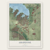
Grapevine, Texas Map Art
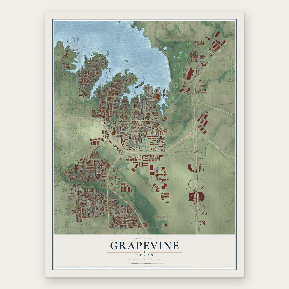
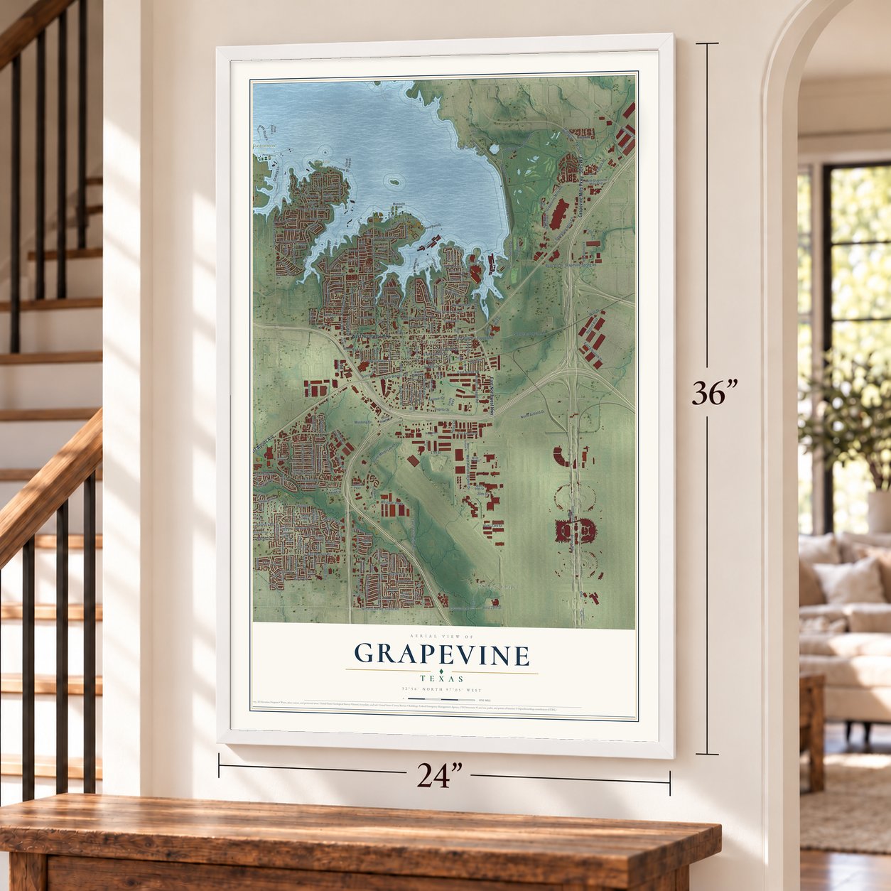
A new map of Grapevine, Texas, made in 2026 and printed to order on thick archival matte paper.
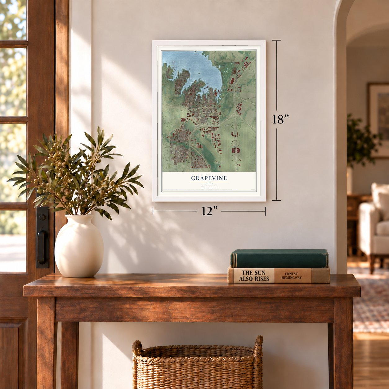
12" x 18" Archival Matte Print
A Map of Home. A Work of Art.
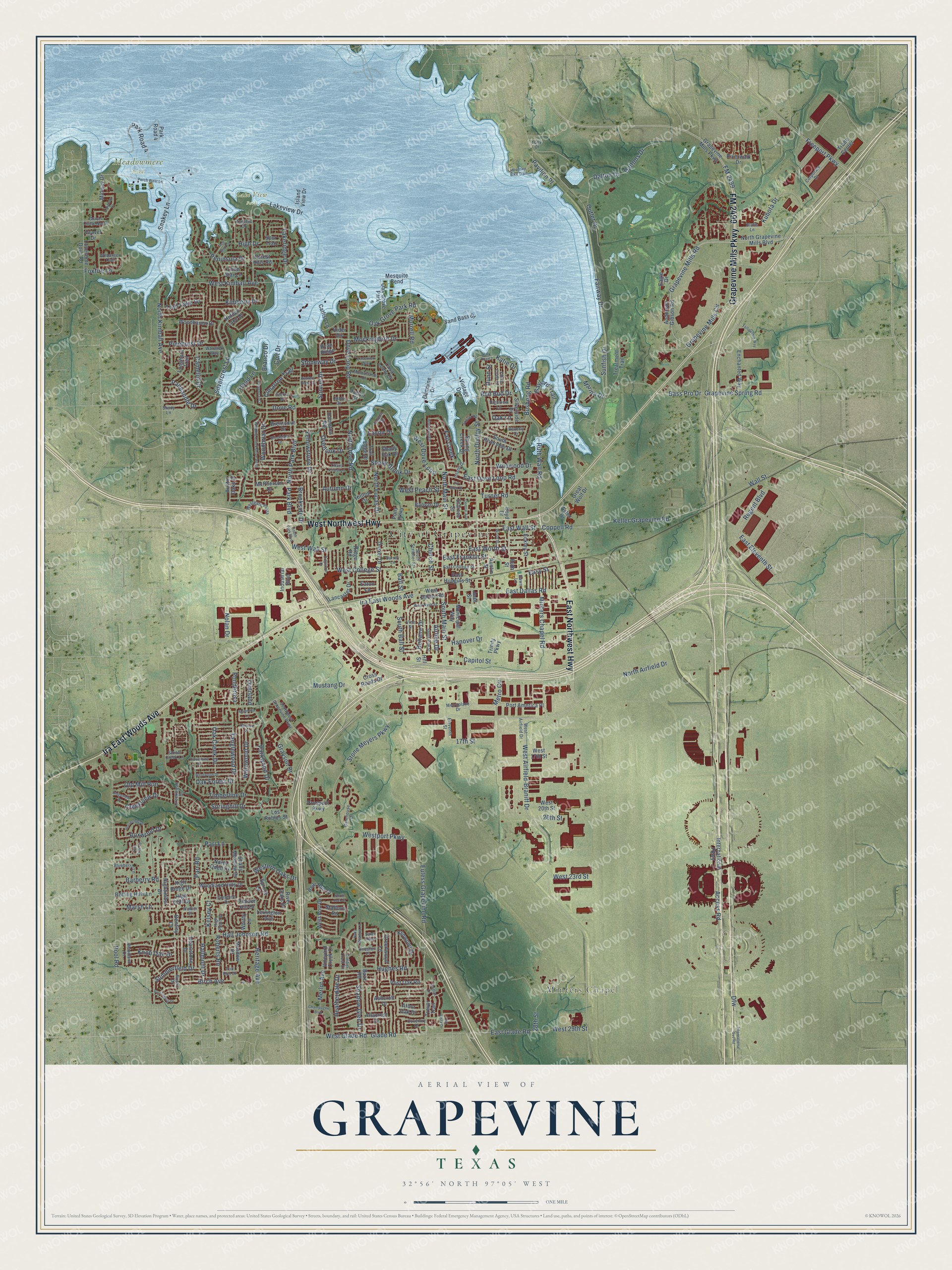
This beautifully detailed map of Grapevine, Texas was created in 2026 using aerial imagery combined with modern topographical, census, street and landmark data. It's a modern aerial view of Grapevine in Tarrant County, Texas, that combines modern data with a vintage aesthetic. Zoom in on the preview and look for your block.
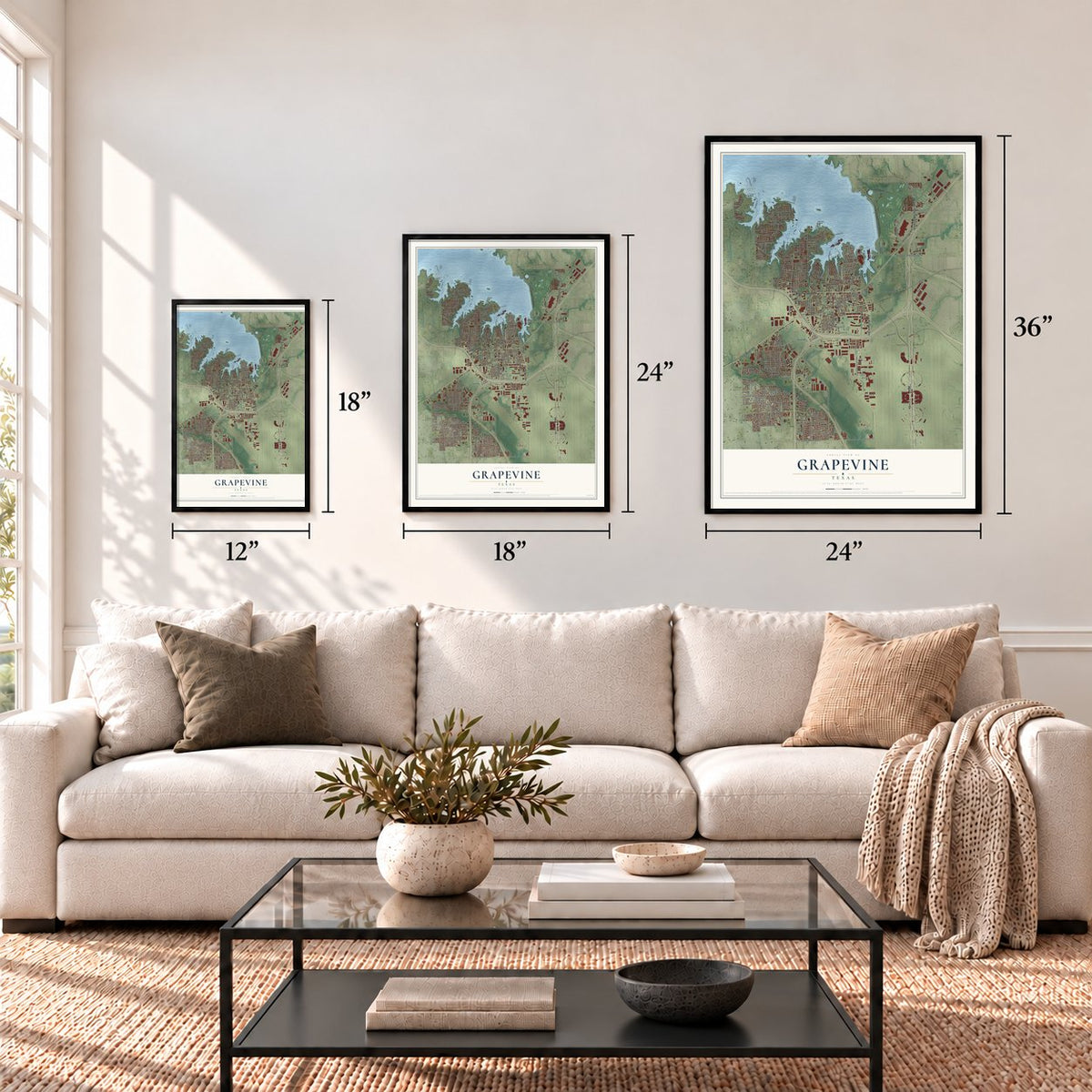
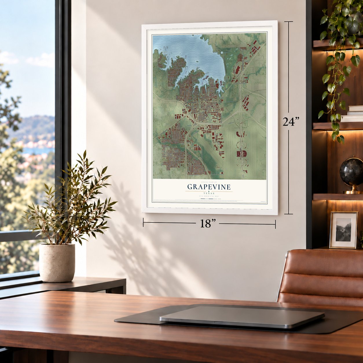
Three ways to hang it
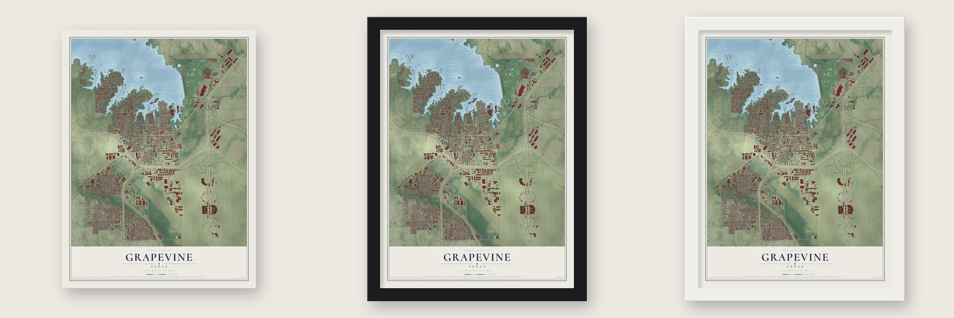
Unframed archival matte, a black wood frame or a white wood frame.
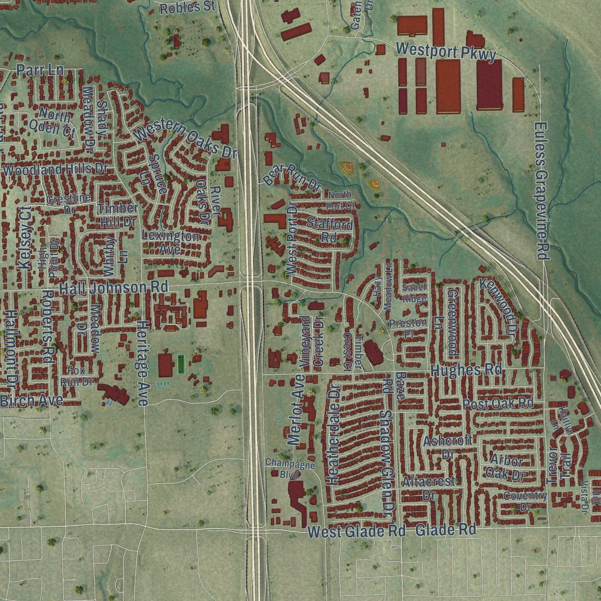
Up close
Real geography. Art worth displaying.
This map was created using accurate cartographic data and authoritative geographic sources, including the U.S. Geological Survey and the Census Bureau. The map brings together terrain, waterways, roads, and building detail. The majority of the streets are labeled, houses are accurately depicted, and the topography is derived from government sources. Combining local data with carefully composed color and shading leads to this beautifully detailed Grapevine artwork for your wall.
Rather than simply showing street outlines, we’ve included as many of the street names as we could reasonably fit on the map while keeping their names legible. Zoom in on the high resolution preview to see exactly what’s on the map. We truly set out to create a statement piece for anyone who loves Grapevine. So whether it’s for you, or a gift for someone you love, we hope this map of Grapevine brings back fond memories.
Read the story behind this map of Grapevine, Texas from 2026.
About Grapevine, Texas
Grapevine occupies northeastern Tarrant County, with small sections reaching into Dallas and Denton counties. It began with the Missouri Colony, whose families settled near Denton Creek in 1844, and its name comes from the surrounding Grapevine Prairie. The city later developed from an agricultural trade center into a community shaped by Grapevine Lake, Dallas-Fort Worth International Airport, historic preservation, and tourism.
- A Changing NameIncorporated as Grape Vine in 1907, the city adopted the single-word spelling after the United States Post Office changed it in 1914.
- Railroad and AgricultureThe arrival of the railway in 1888 connected local farmers with wider markets and helped establish cotton as an important cash crop.
- Grapevine LakeConstruction of Grapevine Dam began in 1948, and the reservoir was completed in 1952 for flood control, recreation, and water supply.
- Early Public ServicesThe fire department was chartered in 1921, while a branch of the Tarrant County Free Library opened on March 3, 1923.
- 2020 PopulationThe United States Census Bureau counted 50,631 residents in Grapevine in 2020.
Find your street
Names on the Grapevine map
Every name below is printed on this map. Look for your street, your school, the park where you played, or the pond down the road.
Places and landmarks5
- City of Grapevine
- Minters Chapel
- Lake View Park
- Meadowmere Park
- Oak Grove Park
Streets and roads305
- FM 2499
- Grapevine Mills Parkway
- East Northwest Highway
- Ira East Woods Avenue
- West Northwest Highway
- Bass Pro Drive
- Mustang Drive
- Grapevine Mills Road
- North Airfield Drive
- Grapevine Mills Circle
- Dfw
- Snakey Lane
- Dove Road
- North Dove Road
- West Dove Loop
- South Main Street
- West Kimball Avenue
- North Main Street
- Coppell Road
- Keller Grapevine Road
- Ball Street
- East Dove Loop Road
- Lakeridge Drive
- Ruth Wall Road
- Wall Street
- South Ball Street
- East Wall Street
- Shadow Glen Drive
- Roberts Road
- Access Road
Show all 305 streets
- Kubota Drive
- Oak Grove Park Road
- West Airfield-Braniff Drive
- Fairway Drive
- Hall Johnson Road
- Silvercrest Lane
- Heritage Avenue
- Euless Grapevine Road
- Gaylord Trail
- Pool Road
- Timberline Drive
- Freeport Parkway
- North Dooley Street
- Hood Lane
- Stone Meyers Parkway
- West Wall Street
- Westport Parkway
- East Dallas Road
- Murrell Road
- West College Street
- North Kimball Avenue
- Dove Loop Road
- Lakeview Drive
- Glade Road
- West Glade Road
- Katie Drive
- North Park Boulevard
- Grapevine Spring Road
- Minters Chapel Road
- Hughes Road
- Dalton Drive
- Daltons Drive
- Bushong Road
- Tanglewood Drive
- Foxfire Lane
- Mockingbird Drive
- East Glade Road
- Hanover Drive
- Turner Road
- 28th Street
- Parr Road
- Barberry Road
- East Worth Street
- 17th Street
- Sunfish Drive
- Oak Creek Drive
- North Lucas Drive
- Grayson Drive
- Bellaire Drive
- Yellowstone Drive
- Peninsula Drive
- Old Mill Run
- Pinehurst Drive
- Wildwood Drive
- Panhandle Drive
- Kimberly Drive
- 20th Street
- Sonnet Drive
- Park Road 4
- Shady Brook Drive
- Regent Boulevard
- Parkwood Drive
- Red Bud Drive
- Creekview Drive
- Cimarron Trail
- Willowood Drive
- West 29th Street
- East Eleventh Street
- Western Oaks Drive
- Stoneway Drive
- West Peach Street
- Woodbriar Drive
- Fall Creek
- Church Street
- Easy Street
- Heatherdale Drive
- Birch Avenue
- Brookside Drive
- Metro Circle
- High Drive
- Summerfield Drive
- Knob Oak Drive
- Ponderosa
- Capitol Street
- Springhill Drive
- East Franklin Street
- Boxwood Drive
- Hallmont Drive
- Outlet Drive
- Trail Lake Drive
- Overlook Drive
- Marsh Lane
- Airline Drive
- Oak Forest Drive
- West 23rd Street
- Camelot Drive
- Pavilion Place
- Dunn Street
- Parr Lane
- Merlot Avenue
- Overland
- Park Boulevard
- Kelsey Court
- Nolan Drive
- Autumn Drive
- Marina Drive
- Branco Drive
- Colt Drive
- Lavon Drive
- Oak Lane
- Anderson Gibson Road
- North Grapevine Mills Boulevard
- Midway Drive
- Lonesome Dove Road
- West Dallas Road
- Greenwood Lane
- Industrial Boulevard
- Boyd Drive
- Meadow Drive
- Baze Road
- Municipal Way
- Trinity Parkway
- Altacrest Drive
- Treatment Trail
- Silverside Drive
- West 20th Street
- Austin Street
- Drexel Drive
- Forest Hills Road
- Hidden Lake Drive
- International Parkway
- Woodland Hills Drive
- Port America Place
- Vintage Drive
- Hampton Road
- Vineyard Creek Drive
- Bear Run Drive
- Enchanted Way
- Hilltop Drive
- North Odell Court
- Hightimber Drive
- Lancaster Drive
- Casa Loma Court
- Ruth Street
- Timber Hill Drive
- Trevor Trail
- Riverwalk Drive
- Domaine Drive
- South Riverside Drive
- Rolling Hills Lane
- Woodhaven Drive
- Longhorn Trail
- McPherson Drive
- East Hudgins Street
- Lone Star Lane
- Brentcove Drive
- Great Wolf Drive
- West Port Drive
- River Oaks Drive
- Post Oak Road
- Astec Drive
- Sand Bass Drive
- Spring Creek Drive
- Kenwood Drive
- Austin Oaks Drive
- Cross Roads Drive
- Heartstone Drive
- Spruce Lane
- Whitby Lane
- Banyan Drive
- Shady Meadow Drive
- Prospect Parkway
- Mesquite Bend
- Eckley Street
- High Ridge Drive
- High Cliff Drive
- Arbor Oak Drive
- Trade Center
- Los Robles Street
- Catfish Lane
- Bentley Court
- Trail Edge Drive
- Island View Drive
- Stafford Road
- Lexington Avenue
- Ridge Road
- West 17th Street
- Starnes Street
- Ashcroft Drive
- Hill Street
- Spur Trail
- Ryan Ridge
- Gravel Drive
- Eaton Lane
- Eagle Drive
- Shady Oak Drive
- Rider Circle
- Pony Parkway
- Dublin Street
- Jean Street
- Gravel Circle North
- Eleventh Street
- West Airfield Drive
- Corporate Drive
- Vine Street
- Dublin Circle
- Westgate Plaza
- South Scribner Street
- East College Street
- Chris Craft Drive
- Southwest Grapevine Parkway
- Blueberry Lane
- Crestline Drive
- Metroplace Drive
- Sierra Drive
- Mulholland Drive
- Gatehouse Drive
- Warwick Way
- High Point Drive
- Bluffs Lane
- Creekwood Drive
- Wilbarger Trail
- Inland Drive
- Limerick Way
- Highview Lane
- Dawn Lane
- Woodland Court
- Falcon Drive
- Stone Creek Lane
- Coventry Drive
- Rustic Drive
- Surrey Lane
- Tony Drive
- Timber Crest Court
- Anglers Drive
- Fox Run Drive
- Beverly Drive
- Preston Place
- Walker Place
- Shady Lane
- Park Road 7
- Red Bird Lane
- South Pine Street
- South Park Boulevard
- Winding Creek Drive West
- Champagne Boulevard
- West Nash Street
- Columbine Drive
- Perch West Lane
- Brookgate Drive
- Horseshoe Drive
- Honeysuckle
- Wentwood Drive
- Tiffany Forest Lane
- School Road
- Hunters Ridge Drive
- Fellowship Way
- Mountain Bike Trail
- Chaparral Court
- North Port Court
- Burninglog Drive
- International Svc Road
- Oak Tree Lane
- Central Avenue
- Hazy Meadow Lane
- Dogwood Drive
- Wood Street
- Ridgeview Drive
- Lakeway Drive
- Magnolia Lane
- Ivy Glen Drive
- Harmon Drive
- Hill Vista Drive
- Kaitlyn Lane
- Sabel Ridge
Names are listed as they appear on the printed map. Zoom into the product photos to find them.
The art of mapping a place
How This Map Was Made
Real places. Remarkable detail. Discover the layers that turn geographic data into a map of home.

The view from above
Aerial imagery reveals the character of the land: woodland, open fields, and the patterns of a place.

The shape of the land
Elevation data brings hills, valleys, and subtle changes in the landscape into view.

The details of home
Roads, waterways, and building footprints come together to make the map feel unmistakably local.

Geography becomes art
Considered color, shading, and typography bring the layers together in a map made for your wall.


Process illustrated with Mendon, Massachusetts. Aerial imagery: USDA NAIP. Terrain: USGS 3D Elevation Program. Map details and finished artwork: KNOWOL.
The Details
About This Print
Choose an archival matte print, or a black or white Ayous wood frame. The archival matte print is unframed.
Select your size and finish above to see the matching product image and price.
Materials & Craftsmanship
A contemporary map with the character of a classic atlas, printed on archival matte paper. Optional frames are made from Ayous wood.
Your printed map does not include the watermark shown in the full-map preview.
Shipping & Delivery
Free shipping within the United States. Every print is made to order in the USA.
Buying a gift? Add a note in your cart and we'll include it. We never put prices in the package.
Prints ship within 2 to 3 business days. Allow 7 to 10 days total from ordering for delivery. Timing may vary during holidays or periods of high order volume.
Read our shipping policy.
Returns and damaged prints
Each print is made to order. Change-of-mind refunds are not available after production.
If your print arrives damaged, misprinted or incorrect, contact support@knowol.com within 30 days of receiving it. Include your order number, photos and a description of the issue.
Read our full refund and replacement policy. For questions about your order, email support@knowol.com.
Find your town
Looking for another city?
Find a map of home in our Texas collection, or any town in the country.
Nearby
Maps of towns near Grapevine
Know someone from one of these towns? Their map makes a great gift.
 Southlake
, Texas
From $39.99See the map
 Colleyville
, Texas
From $39.99See the map
 Coppell
, Texas
From $39.99See the map
More maps nearby: Euless, Trophy Club, Bedford, Flower Mound and Irving.