
Search for another town

Free U.S. delivery 7 to 10 days after you order
Southlake, Texas Map Art
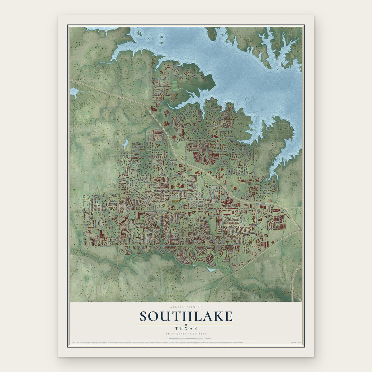
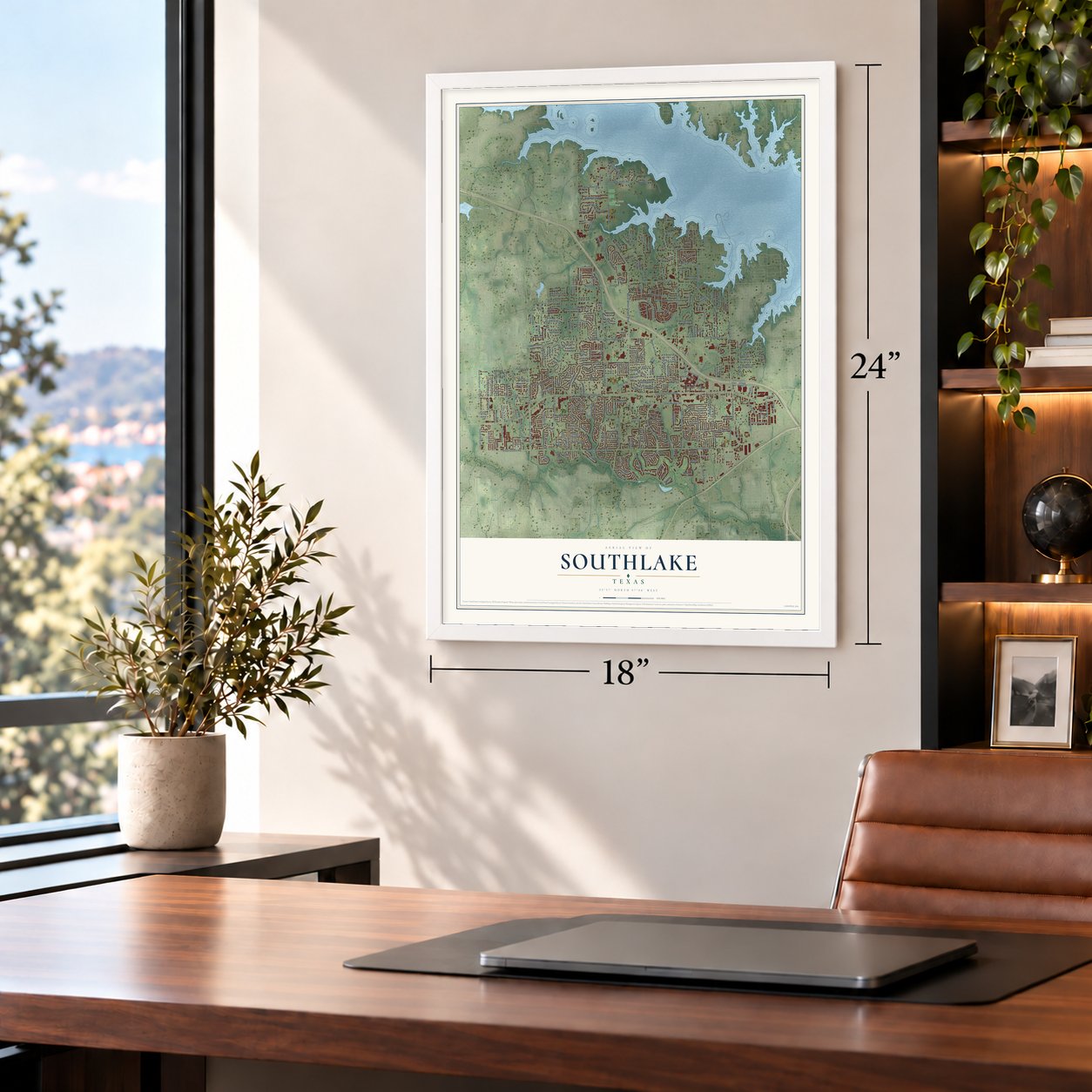
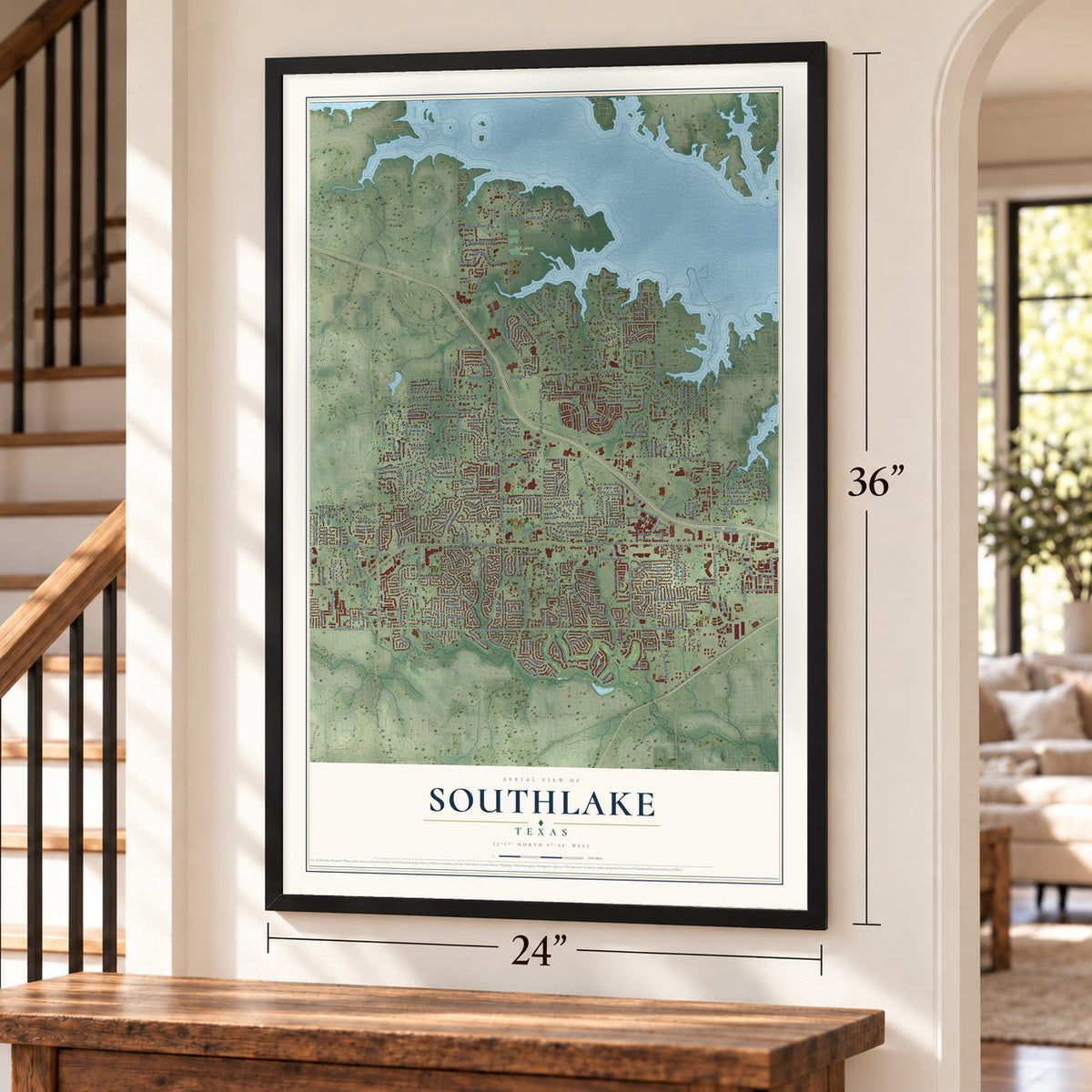
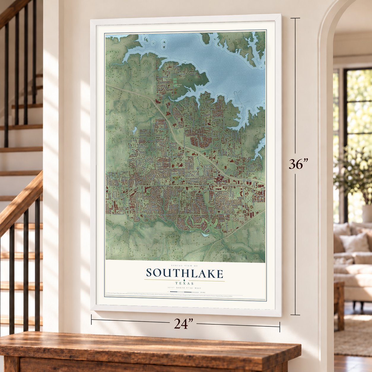
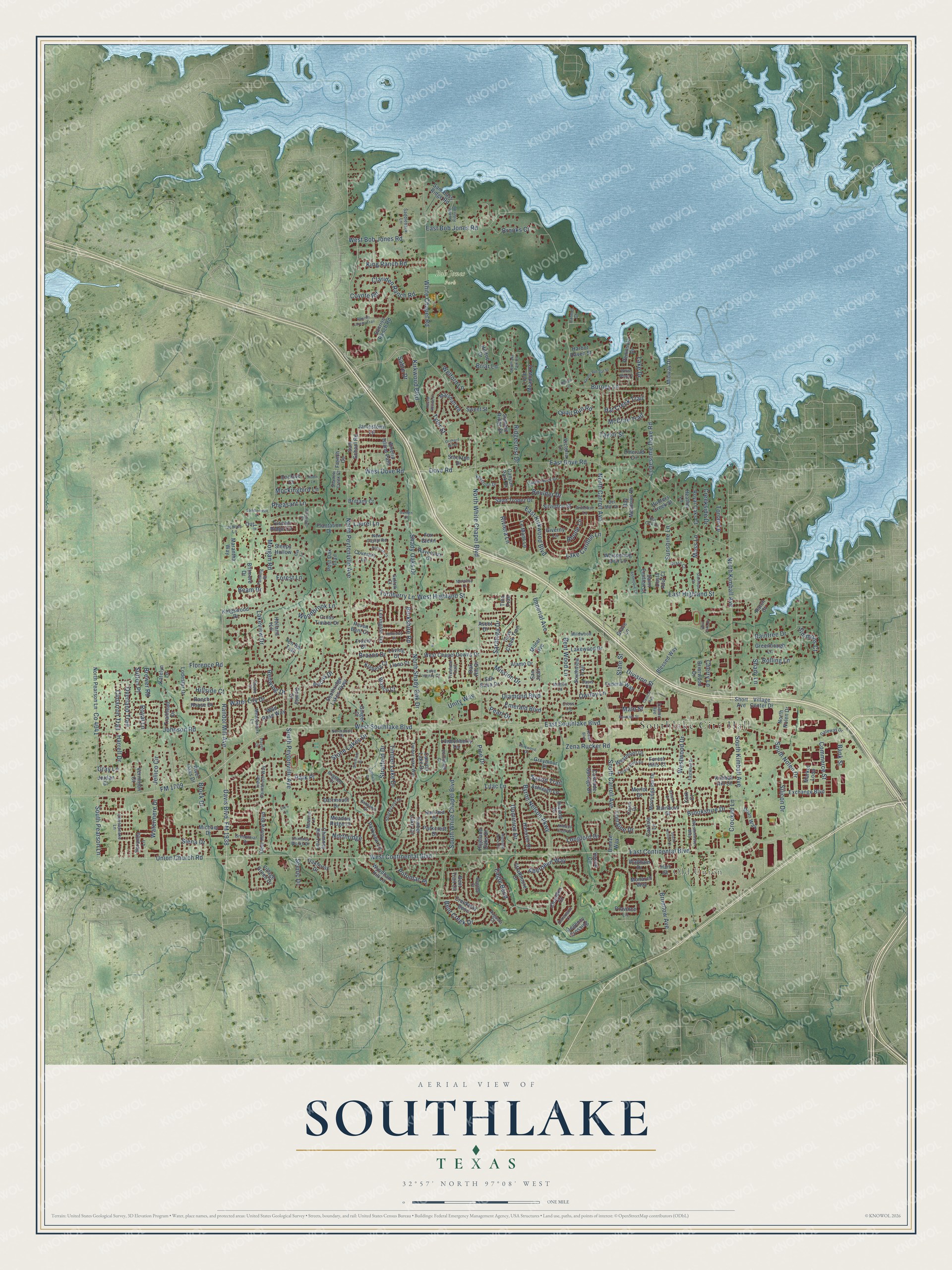
A new map of Southlake, Texas, made in 2026 and printed to order on thick archival matte paper.
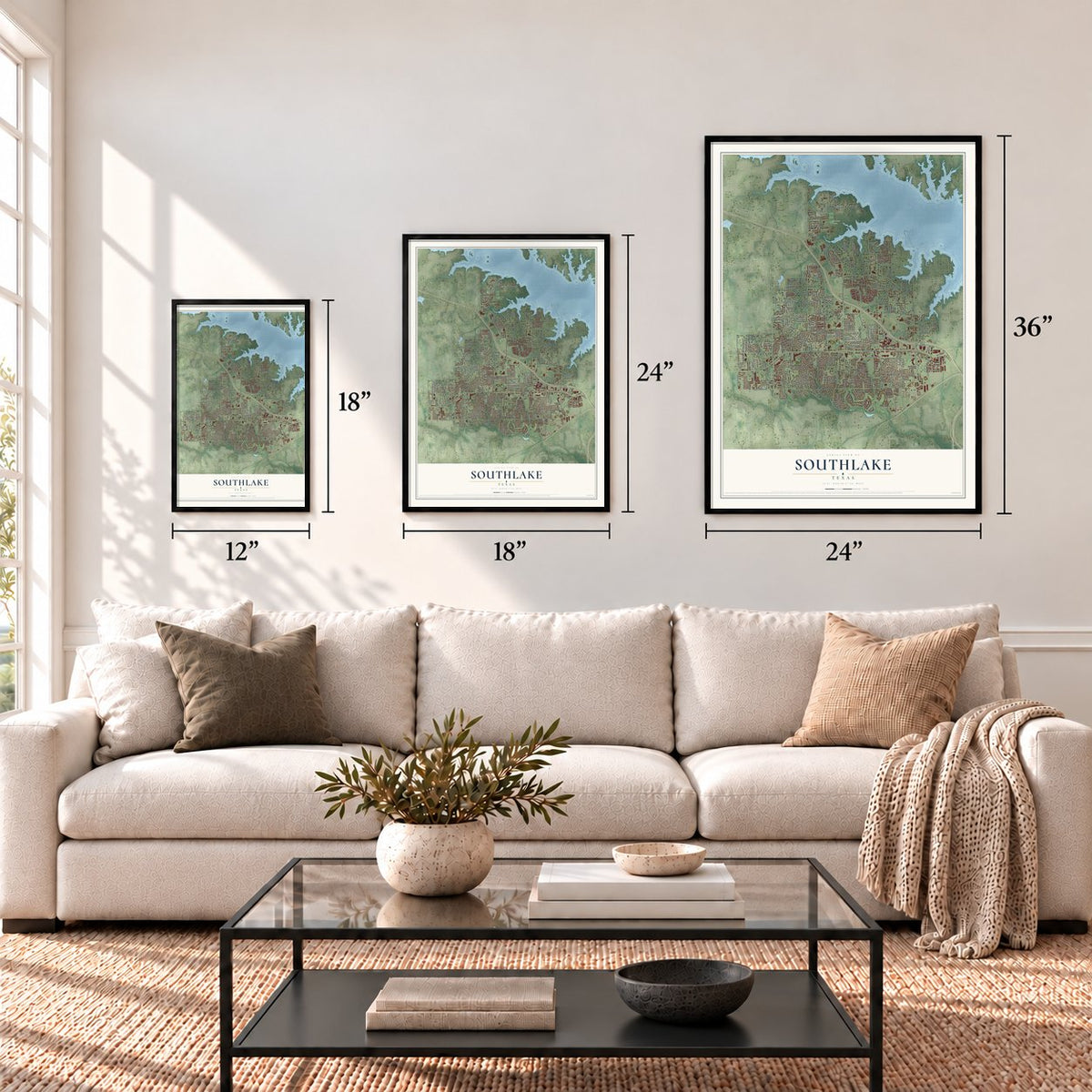
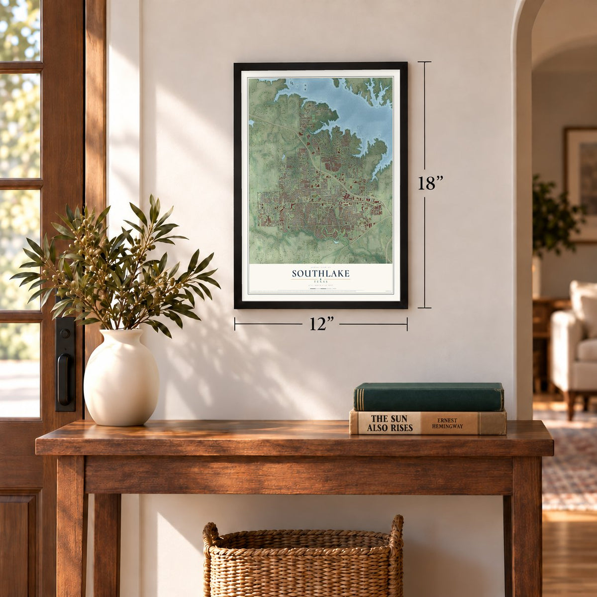
12" x 18" Archival Matte Print
A Map of Home. A Work of Art.
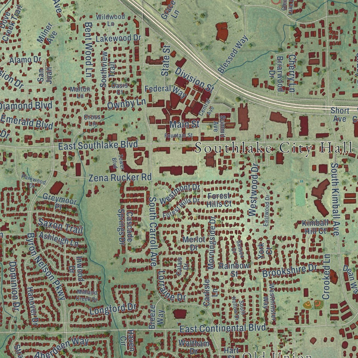
This beautifully detailed map of Southlake, Texas was created in 2026 using aerial imagery combined with modern topographical, census, street and landmark data. It's a modern aerial view of Southlake in Tarrant County, Texas, that combines modern data with a vintage aesthetic. Zoom in on the preview and look for your block.
Three ways to hang it
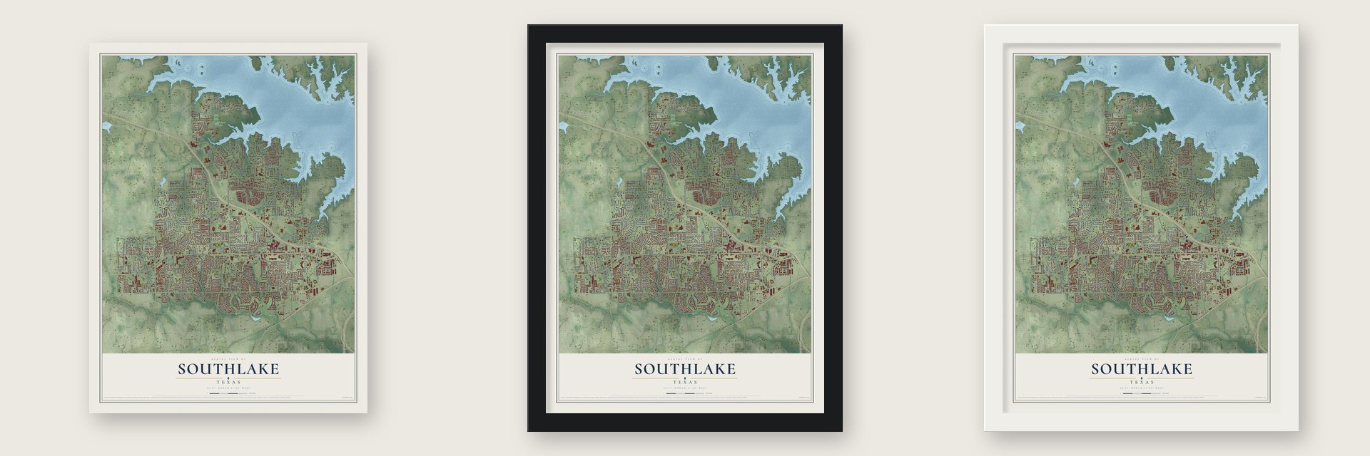
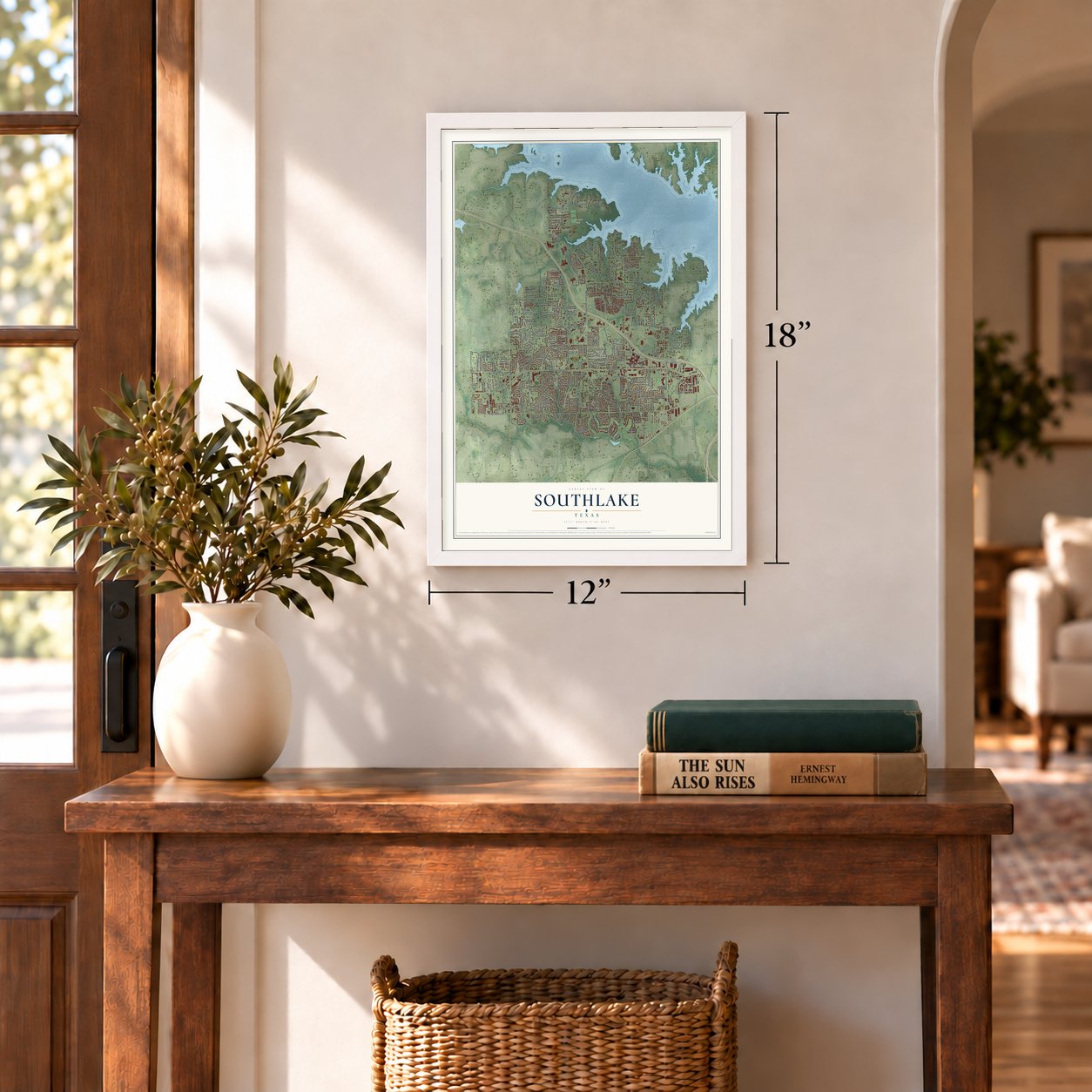
Unframed archival matte, a black wood frame or a white wood frame.
Up close
Real geography. Art worth displaying.
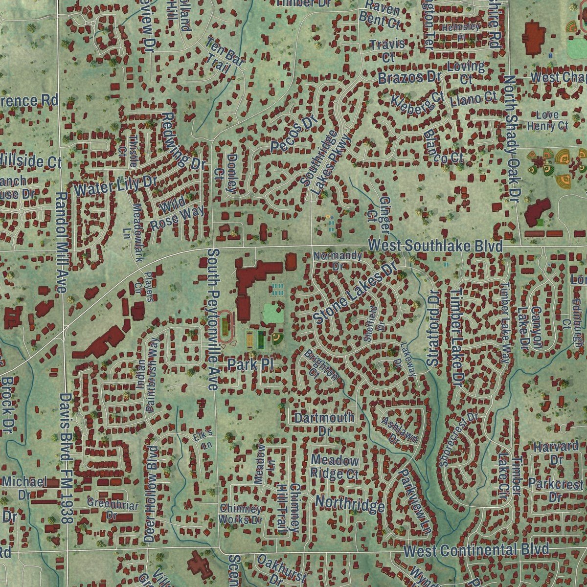
This map was created using accurate cartographic data and authoritative geographic sources, including the U.S. Geological Survey and the Census Bureau. The map brings together terrain, waterways, roads, and building detail. The majority of the streets are labeled, houses are accurately depicted, and the topography is derived from government sources. Combining local data with carefully composed color and shading leads to this beautifully detailed Southlake artwork for your wall.
Rather than simply showing street outlines, we’ve included as many of the street names as we could reasonably fit on the map while keeping their names legible. Zoom in on the high resolution preview to see exactly what’s on the map. We truly set out to create a statement piece for anyone who loves Southlake. So whether it’s for you, or a gift for someone you love, we hope this map of Southlake brings back fond memories.
Read the story behind this map of Southlake, Texas from 2026.

Find your street
Names on the Southlake map
Every name below is printed on this map. Look for your street, your school, the park where you played, or the pond down the road.
Places and landmarks3
- Southlake City Hall
- Old Union
- Bob Jones Park
Streets and roads324
- FM 1938
- South Kimball Avenue
- Randol Mill Avenue
- East Continental Boulevard
- West Continental Boulevard
- Union Church Road
- Davis Boulevard
- South Pearson Lane
- Burney Lane
- West Southlake Boulevard
- South Nolen Drive
- East Southlake Boulevard
- Brumlow Avenue
- Potomac Place
- Kirkwood Boulevard
- North White Chapel Boulevard
- Turnberry Lane
- Lonesome Dove Road
- Pine Drive
- Coyote Road
- Berkshire Road
- Byron Nelson Parkway
- South White Chapel Boulevard
- White Chapel Road
- Clariden Ranch Road
- Sunshine Lane
- Stone Lakes Drive
- West Highland Street
- McCrae Trail
- FM 1709
Show all 324 streets
- East Kirkwood Boulevard
- North Carroll Avenue
- North Peytonville Avenue
- East Dove Road
- Shady Oaks Drive
- North Kimball Avenue
- North Shady Oak Drive
- East Highland Street
- South Carroll Avenue
- East Bob Jones Road
- Dove Road
- West Dove Road
- Bent Creek Drive
- Johnson Road
- Florence Road
- South Peytonville Avenue
- Crooked Lane
- Brazos Drive
- Woodbrook Lane
- Shady Lane
- Stratford Drive
- Pecos Drive
- Lake Drive
- Lake Carillon Lane
- Lakeview Drive
- Eagle Bend
- Ridgecrest Drive
- Jellico Circle
- Watermere Drive
- Aberdeen Way
- Diamond Boulevard
- Longford Drive
- West Bob Jones Road
- Raintree Drive
- Dominion Drive
- Timber Lake Drive
- Silicon Drive
- Zena Rucker Road
- Quail Run Road
- Northridge
- State Street
- Morgan Road
- Emerald Boulevard
- King Ranch Road
- Boulder Drive
- Mission Drive
- Mockingbird Lane
- Westwood Drive
- Main Street
- Division Street
- Commerce Street
- Pheasant Lane
- Water Lily Drive
- Brookshire Drive
- Taylor Street
- Harrell Drive
- Hat Creek Trail
- Creekside Drive
- Briar Lane
- Imperial Avenue
- Overland Trail
- Cimarron Trail
- Unity Way
- Pearl Drive
- Sabre Drive
- Ownby Lane
- Brooks Court
- Lilac Lane
- Beam Drive
- Siena Drive
- Rhone Lane
- Bent Wood Lane
- Rolling Lane
- Cherry Lane
- Lorraine Drive
- Saxon Trail
- Saratoga Drive
- Simmons Court
- Torian Lane
- Laurel Lane
- Riviera Lane
- Tyler Street
- Bank Street
- Hillside Court
- Welford Lane
- Redwing Drive
- Brewer Road
- Moss Lane
- Scenic Drive
- Sutton Place
- Forest Lane
- Park Place
- Brock Drive
- Royal Lane
- Gray Lane
- Village Center Drive
- Midway Drive
- Short Avenue
- North Nolen Drive
- Timber Lake Circle
- Southridge Lakes Parkway
- Canyon Lake Drive
- Lexington Terrace
- Morningside Drive
- Canyon Park Drive
- North Pearson Lane
- Marshall Road
- Regency Crossing
- Amelia Island Path
- Dove Creek Trail
- Village Green Drive
- Deer Hollow Boulevard
- Merlot Drive
- West Chapel Downs Drive
- Cross Timber Drive
- Bay Meadows Drive
- Tuscan Ridge Circle
- Emerald Circle
- Blessed Way
- Sunrise Ranch Road
- Saint Tropez Drive
- Southview Trail
- Creekway Bend
- Loch Meadow Court
- Inwood Drive
- Dartmouth Drive
- Bent Trail Circle
- Hanover Drive
- Ten Bar Trail
- Sam School Road
- Federal Way
- Exchange Boulevard
- Sleepy Hollow
- Province Lane
- Lakewood Drive
- Strathmore Drive
- Sam Bass Ridge Road
- Stockton Drive
- Biltmore Drive
- Veranda Lane
- Market Loop
- Royal Oaks Court
- Post Oak Trail
- Chimney Hill Trail
- Wyndham Hill Lane
- Giverny Lane
- Westmont Drive
- Kingswood Drive
- Alamo Drive
- Greenbough Lane
- Londonberry Terrace
- Cascade Springs Drive
- Ashleigh Lane
- Ravenaux Drive
- Plantation Drive
- Harbor Haven Street
- Hunters Creek Street
- Costa Azul Court
- Parkview Lane
- Haven Circle
- Lodestar Drive
- Coventry Lane
- Whispering Dell Lane
- Summit Ridge Drive
- Le Mans Lane
- Briarwood Drive
- Parkcrest Drive
- Silverton Street
- Marantha Way
- Hilltop Drive
- Peninsula Drive
- Rainbow Street
- Wild Rose Way
- Trailhead Drive
- Carlisle Lane
- Meadow Ridge Court
- Jamestown Lane
- Donley Court
- San Saba Drive
- Victoria Lane
- Vermilion Court
- Ginger Court
- Dean Way
- Fox Glenn
- Michael Drive
- Kleberg Court
- Saint Emilion Court
- Highland Oaks Drive
- Sweet Street
- Holland Hill
- Oakhurst Drive
- Brittany Court
- Enclave Court
- Greymoor Place
- River Oaks Drive
- Milner Avenue
- Ranch House Drive
- Forest Hills Court
- Chandon Court
- Blanco Court
- Katelyn Lane
- Kimball Hill Court
- Hatch Court
- York Court
- French Circle
- Monarch Way
- Oak Hill Drive
- Our Lane
- Breeze Way
- Jordan Drive
- Llano Court
- Harvard Drive
- Waltham Drive
- Heather Lane
- Loving Court
- Travis Court
- Raven Bent Court
- Ascot Drive
- Hart Street
- San Juan
- Grace Lane
- Tina Trail
- Malton Lane
- Chesapeake Lane
- Indian Paintbrush Way
- Normandy Drive
- Shorecrest Drive
- Timber Lake Way
- Jubilee Lane
- Saddleback Lane
- Love Henry Court
- Castle Rock Drive
- Chimney Works Drive
- Meadowlark Lane
- Westminster Way
- Forest Hills Drive
- Greenbriar Drive
- Gateway Drive
- Fanning Street
- Keystone Drive
- Del Mar Drive
- Calais Drive
- Wildwood Lane
- Edinburgh Court
- Meadow Lane
- Truelove Trail
- Primrose Lane
- Grass Court
- Bur Oak Drive
- New Castle Road
- Brighton Court
- Suffolk Court
- Summit Avenue
- Augusta Court
- Ashlawn Drive
- Shadow Creek Court
- Bentley Court
- Thistle Court
- Carmel Court
- Oasis Court
- Cross Lane
- Southlake Park Road
- Sheffield Drive
- Round Hollow Lane
- Highland Oaks Circle
- Central Avenue
- Eastwood Drive
- Parkwood Drive
- Midland Creek Drive
- Rancho Laredo Trail
- Montrose Lane
- Harbor Retreat Street
- South Hollow Drive
- Helmsley Place
- Saddle Ridge Road
- Lakeway Drive
- Ptarmigan Street
- Ashmoore Court
- Saddlecreek Drive
- Norwich Court
- Orchard Hill Drive
- Kensington Court
- Tower Boulevard
- Stanhope Court
- Fountain Street
- Sussex Court
- Garden Court
- Players Circle
- White Wing Court
- Glen Lake Drive
- Harbor Court
- Oak Lane
- Robin Lane
- Elk's Lane
Names are listed as they appear on the printed map. Zoom into the product photos to find them.
The art of mapping a place
How This Map Was Made
Real places. Remarkable detail. Discover the layers that turn geographic data into a map of home.

The view from above
Aerial imagery reveals the character of the land: woodland, open fields, and the patterns of a place.

The shape of the land
Elevation data brings hills, valleys, and subtle changes in the landscape into view.

The details of home
Roads, waterways, and building footprints come together to make the map feel unmistakably local.

Geography becomes art
Considered color, shading, and typography bring the layers together in a map made for your wall.


Process illustrated with Mendon, Massachusetts. Aerial imagery: USDA NAIP. Terrain: USGS 3D Elevation Program. Map details and finished artwork: KNOWOL.
The Details
About This Print
Choose an archival matte print, or a black or white Ayous wood frame. The archival matte print is unframed.
Select your size and finish above to see the matching product image and price.
Materials & Craftsmanship
A contemporary map with the character of a classic atlas, printed on archival matte paper. Optional frames are made from Ayous wood.
Your printed map does not include the watermark shown in the full-map preview.
Shipping & Delivery
Free shipping within the United States. Every print is made to order in the USA.
Buying a gift? Add a note in your cart and we'll include it. We never put prices in the package.
Prints ship within 2 to 3 business days. Allow 7 to 10 days total from ordering for delivery. Timing may vary during holidays or periods of high order volume.
Read our shipping policy.
Returns and damaged prints
Each print is made to order. Change-of-mind refunds are not available after production.
If your print arrives damaged, misprinted or incorrect, contact support@knowol.com within 30 days of receiving it. Include your order number, photos and a description of the issue.
Read our full refund and replacement policy. For questions about your order, email support@knowol.com.
Find your town
Looking for another city?
Find a map of home in our Texas collection, or any town in the country.
Nearby
Maps of towns near Southlake
Know someone from one of these towns? Their map makes a great gift.
 Trophy Club
, Texas
From $39.99See the map
 Westlake
, Texas
From $39.99See the map
 Colleyville
, Texas
From $39.99See the map
More maps nearby: Grapevine, Keller, Flower Mound, Roanoke and Bedford.