
Search for another town


Free U.S. delivery 7 to 10 days after you order
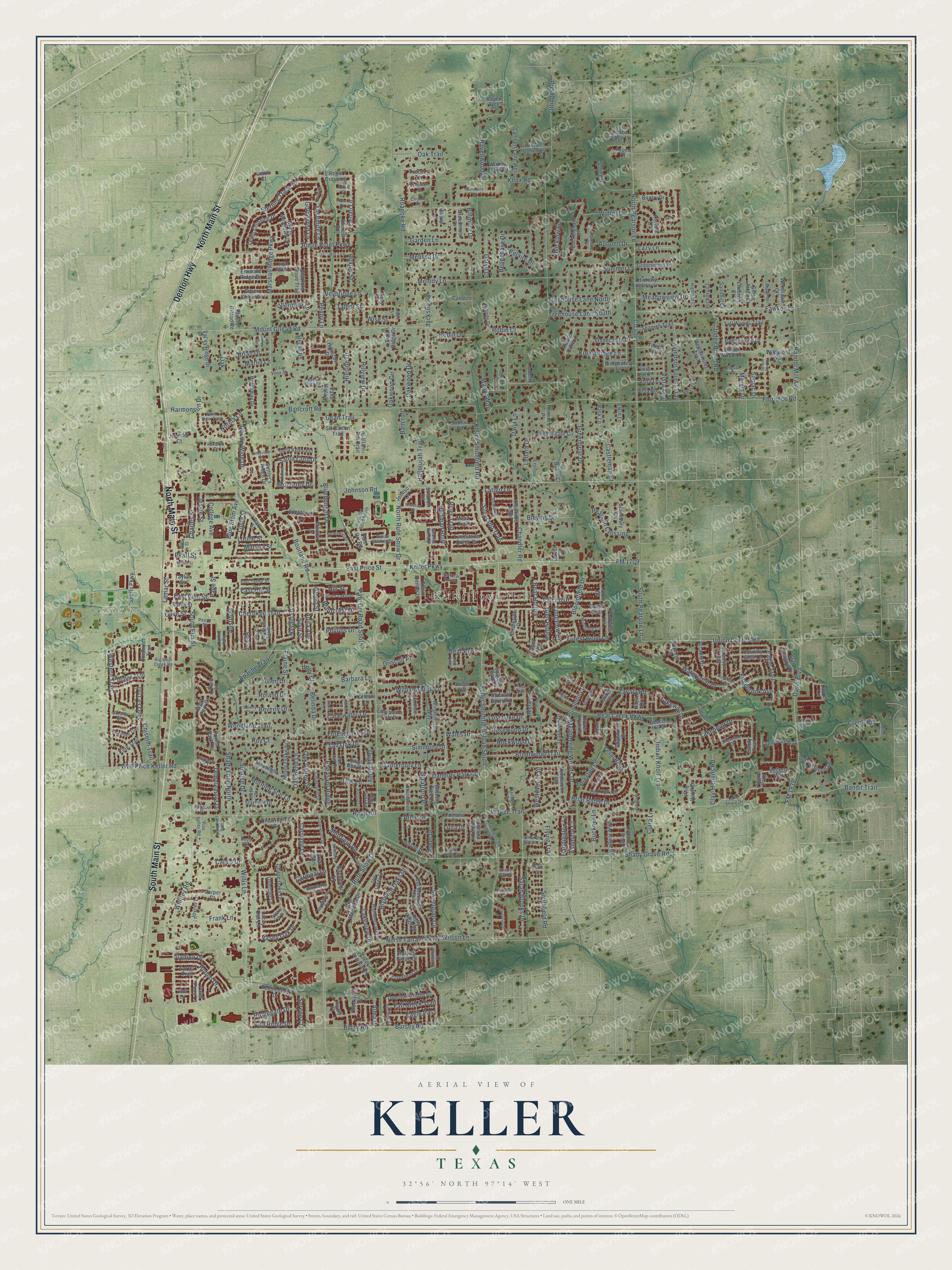
Keller, Texas Map Art
Building by building, with labeled streets and shaded relief.
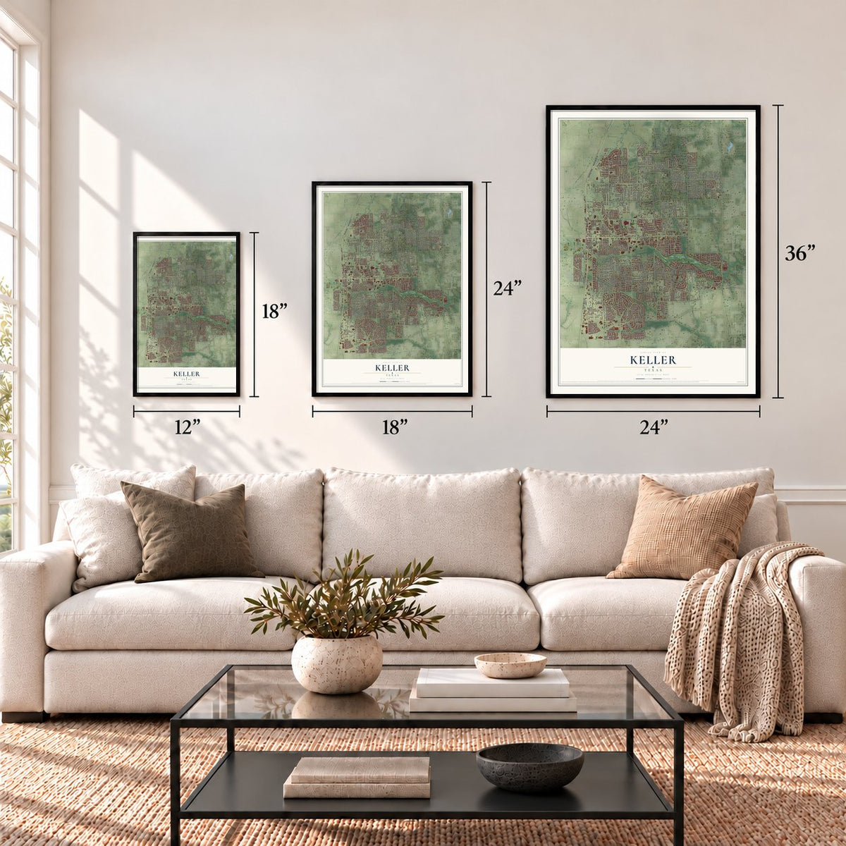
12" x 18" Archival Matte Print
A Map of Home. A Work of Art.
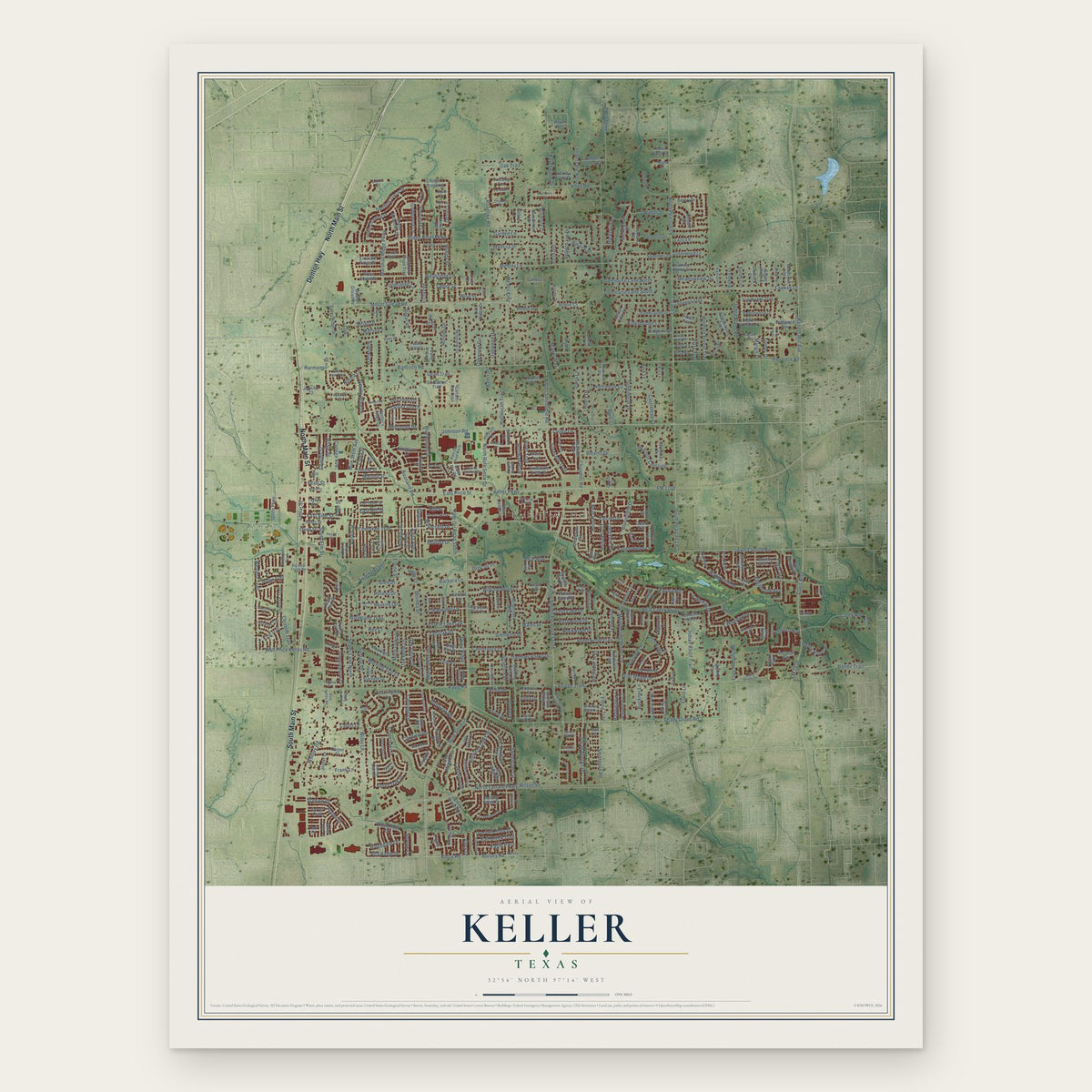
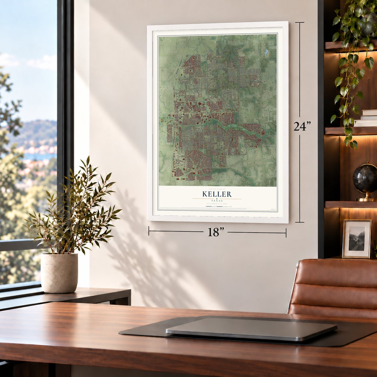
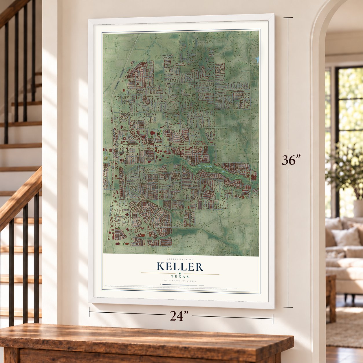
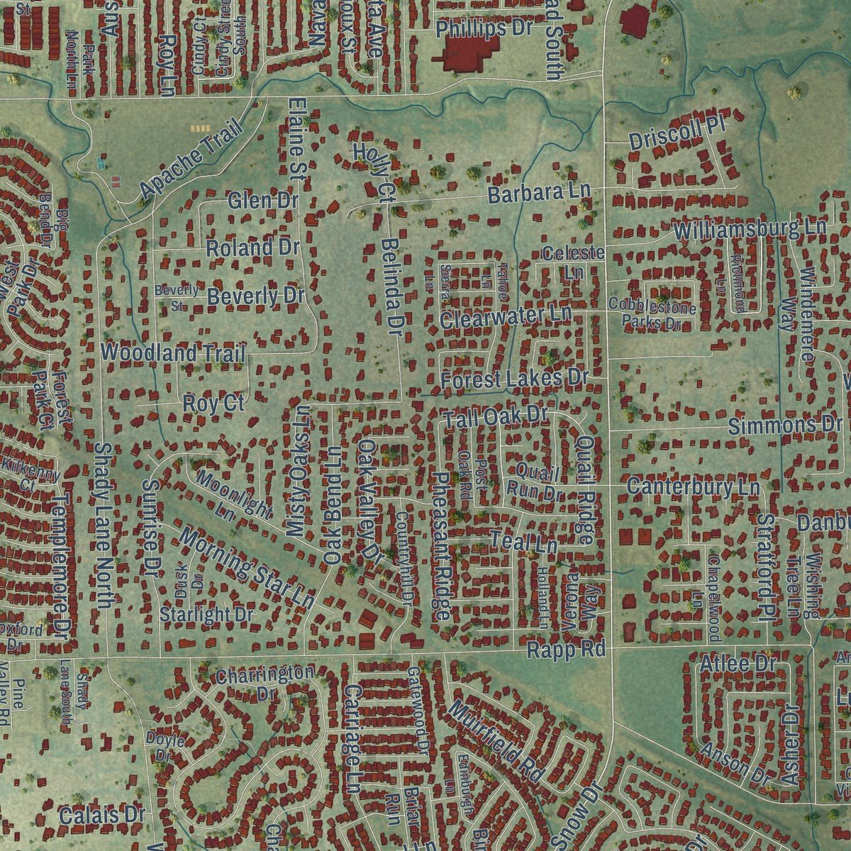
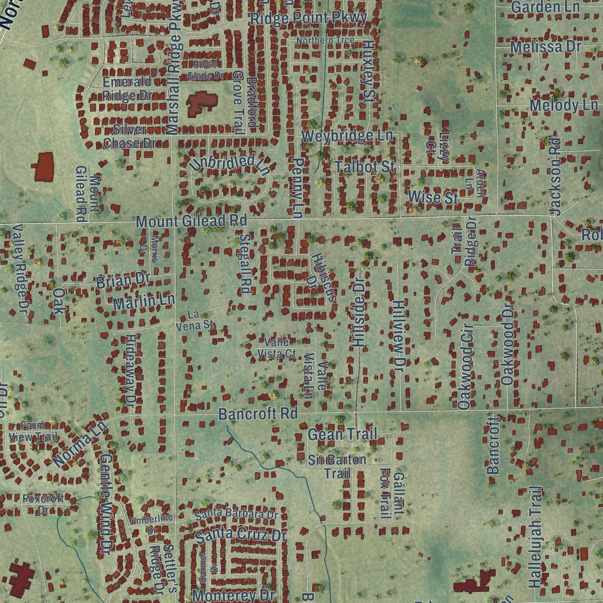
Explore Keller, Texas from a whole new perspective. Created using aerial imagery and detailed geographic data, this map captures Keller building by building, with labeled streets, familiar landmarks, and shaded topographical relief that highlights the natural contours of the landscape.
Combining modern data with the timeless character of a vintage atlas, this map is just as interesting up close as it is beautiful on the wall. Whether you grew up in Keller, spent memorable years there, or call it home today, this unique map is a great way to celebrate a place that means something to you. Zoom in on the preview to look for your street, and then order a print to put your memories on the wall.
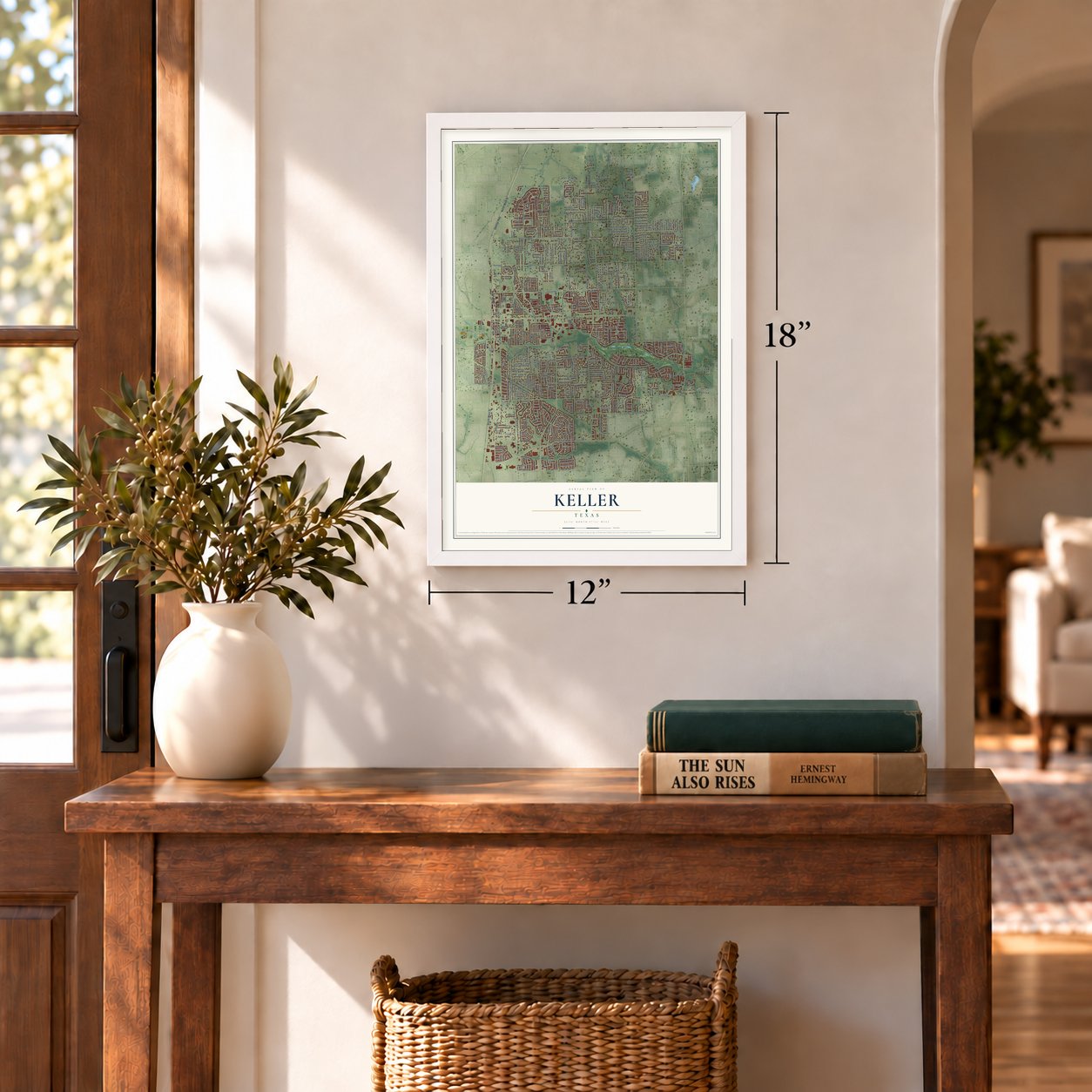
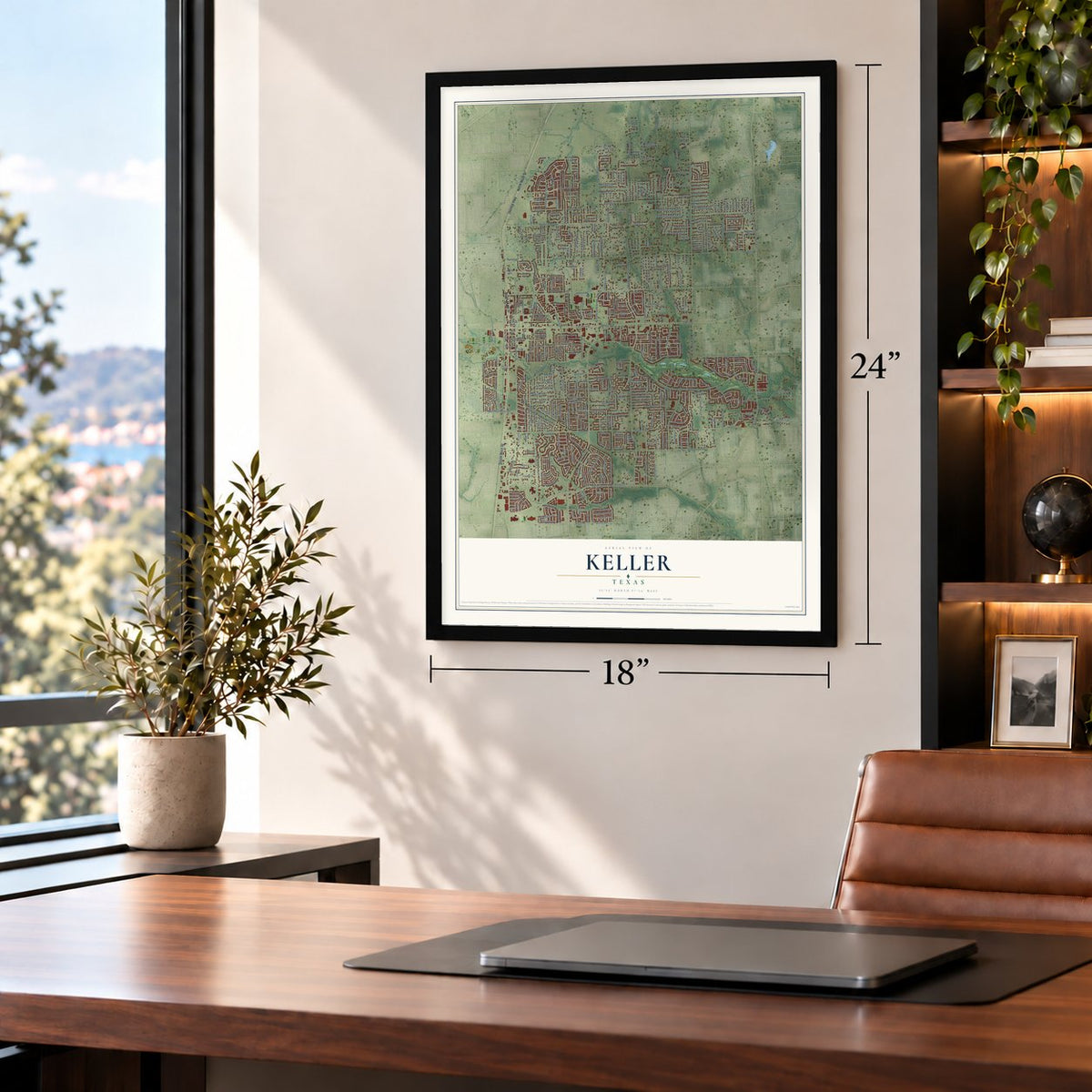
Three ways to hang it
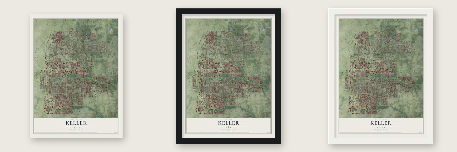
Unframed archival matte, a black wood frame or a white wood frame.
Up close
Geography Worth Displaying
This map was created using accurate cartographic data and authoritative geographic sources, including the U.S. Geological Survey and the Census Bureau. The map brings together terrain, waterways, roads, and building detail. The majority of the streets are labeled, houses are accurately depicted, and the topography is derived from government sources. Combining local data with carefully composed color and shading leads to this beautifully detailed Keller artwork for your wall.
Rather than simply showing street outlines, we’ve included as many of the street names as we could reasonably fit on the map while keeping their names legible. Zoom in on the high resolution preview to see exactly what’s on the map. We truly set out to create a statement piece for anyone who loves Keller. So whether it’s for you, or a gift for someone you love, we hope this map of Keller brings back fond memories.
Find your street
Names on the Keller map
Every name below is printed on this map. Look for your street, your school, the park where you played, or the pond down the road.
Places and landmarks2
- Keller Town Hall
- Keller Sports Park
Streets and roads450
- North Main Street
- South Main Street
- Denton Highway
- Rufe Snow Drive
- Keller Parkway
- East Price Street
- Indian Knoll Trail
- South Pearson Lane
- Lakeway Drive
- Union Church Road
- Vasey Oak Drive
- Bear Creek Parkway
- North Tarrant Parkway
- FM 1709
- Johnson Road
- Ottinger Road
- North Pearson Lane
- Keller Smithfield Road South
- Whitley Road
- Mount Gilead Road
- Bourland Road
- Florence Road
- Shady Grove Road
- Rapp Road
- FM 1938
- Willis Lane
- Bancroft Road
- Roanoke Road
- Shady Lane North
- Keller Smithfield Road
Show all 450 streets
- Marshall Ridge Parkway
- Knox Road
- Ravenwood Drive
- Melody Lane
- Bluebonnet Drive
- Fawkes Lane
- Ridge Point Parkway
- Preston Lane
- Davis Boulevard
- Briar Ridge Drive
- Apache Trail
- Norma Lane
- Highland Oaks Drive
- Sarah Brooks Drive
- Randol Mill Avenue
- Western Trail
- Sterling Trace Drive
- Meandering Woods Drive
- Bursey Road
- Bursy Road
- Clay-Hibbins Road
- Pearl Street
- Chisolm Trail
- Barbara Lane
- Roy Lane
- Bellechase Drive
- East Vine Street
- Carriage Lane
- Lorine Street
- Windsor Forest Trail
- Goldenrod Lane
- Forest Bend Lane
- Cherokee Trail
- Sweetgum Circle
- Creek Road
- Melissa Drive
- Bandit Trail
- Wall Price Keller Road
- Unbridled Lane
- Village Trail
- Navajo Drive
- Greenbriar Drive
- Dana Lane
- South Elm Street
- Anita Avenue
- Bear Hollow
- Judge Bland Road
- Smithfield Road
- Chandler Road
- Jessie Street
- North Rufe Snow Drive
- Brentwood Trail
- Pate Orr Road South
- Bloomfield Drive
- Elaine Street
- Sunrise Drive
- Edgebrook Avenue
- Oak Bend Lane
- Williamsburg Lane
- Penny Lane
- Rosewood Drive
- Watercrest Drive
- Summer Lane
- Misty Oaks Lane
- Muirfield Road
- Austin Street
- Treehouse Lane South
- Gentle Wind Drive
- East Hill Street
- Treehouse Lane North
- Hillside Drive
- Simmons Drive
- Castleman Court
- Wilson Lane
- College Avenue
- Lakepoint Drive
- Vista Trail
- Falcon Drive
- Blevins Drive
- Rodeo Drive
- Santa Cruz Drive
- Robin Drive
- Gloria Street
- Hillview Drive
- Woodland Trail
- Kingsbridge Lane
- Buckner Lane
- Lost Lake Drive
- Pearson Crossing
- Frank Lane
- Denali Lane
- Danbury Parks Drive
- Meadowview Drive
- Pheasant Ridge
- Talbot Street
- Ledara Drive
- Eagle Trail
- Clara Lane
- Windcrest Drive
- Silverado Trail
- Templemore Drive
- Winter Drive
- Belinda Drive
- Morning Star Lane
- Lakeview Drive
- Oakwood Circle
- Oak Trail
- Harmonson Drive
- Forest Lakes Drive
- Belaire Drive
- Clearwater Lane
- Rockwood Drive
- Eagle Pass
- Fall Creek Trail
- Hallelujah Trail
- Brian Drive
- Blue Stem Avenue
- Glen Hollow
- Autumn Drive
- Roy Court
- Charles Street
- Ridgegate Drive
- Linda Street
- Daryll Lane
- Flying Trail
- Stratford Place
- Canterbury Lane
- Oakwood Drive
- Garden Lane
- Huffman Bluff
- Oak Valley Drive
- Wicklow Lane
- Haddington Lane
- Oak
- Beverly Drive
- Phillips Drive
- Roland Drive
- Longview Drive
- Teal Lane
- Tall Oak Drive
- Westover Trail
- Glen Drive
- Weybridge Lane
- Yosemite Lane
- Alta Ridge Drive
- Manor Way
- Huxley Street
- Jackson Road
- Ashmore Court
- Marsha Street
- Stallion Drive
- Lazy Lane
- Wales Drive
- Driscoll Place
- Marlin Lane
- Asher Drive
- Monterey Drive
- Quail Ridge
- Gean Trail
- Robin Court
- Cardinal Lane
- Bear Run
- Lamar Street
- Biltmore Drive
- Zavala Road
- Wise Street
- Serene Court
- Olive Street
- River Trail
- Marvin Drive
- Latigo Lane
- Alma Drive
- Sumac Drive
- Page Street
- Calais Drive
- Atlee Drive
- Bancroft
- Hill Street
- Holly Court
- Luna Drive
- Volterra Way
- Lacey Oak Lane
- Pienza Path
- Sandy Trail
- Chase Oaks Drive
- Cat Mountain Trail
- Briar Meadow Drive
- Silver Chase Drive
- Lewis Crossing Drive
- Spanish Trail
- Tall Woods Trail
- Holly Ridge Drive
- Sioux Street
- Cedar Ridge Drive
- West Park Drive
- Moonlight Lane
- Spring Drive
- Trail Ridge Drive
- Old York Drive
- Santa Fe Trail
- Blue Ridge Road
- Windemere Way
- Lambert Lane West
- Jacob Avenue
- Rawhide Path
- Limestone Creek Drive
- Hudnall Farm Road
- Buckingham Drive
- Overlook Ridge Drive
- Bantry Drive
- Ember Woods Drive
- Stonecastle Drive
- Bradford Grove Trail
- Still Meadow Drive
- Oakhill Road
- Birchmont Lane
- Nightingale Circle
- Paint Pony Lane
- Beacon Hill Drive
- Settler's Ridge Drive
- Promontory Drive
- Kinsale Drive
- Arcadia Drive
- Rolling Wood Lane
- Valley Ridge Drive
- Sports Parkway
- Verona Way
- Westminster Trail
- Tealwood Drive
- Wildwood Way
- Grand Meadows Drive
- Greenwood Lane
- Hickory Hollow Lane
- Briar Grove Drive
- Bridgewood Drive
- Pate Orr Road
- Gallant Fox Trail
- Lyndhurst Way
- Town Center Lane
- Lambert Lane East
- Creekvista Court
- Johnson Court
- Wishing Tree Lane
- Hideaway Drive
- Dodge Trail
- Sir Barton Trail
- Pebblecreek Drive
- Spanish Bay Drive
- Sorenson Trail
- Charrington Drive
- Woodlawn Court
- Tuscany Terrace
- Grape Arbor Court
- Bart Street
- Stegall Road
- Creek Terrace Drive
- Creekside Drive
- Emerald Ridge Drive
- Apeldoorn Lane
- Deerwood Lane
- Quail Run Drive
- Broadmoor Drive
- Bates Street
- King Trail
- Bridgecrest Lane
- Overcup Lane
- Regal Crossing
- Llano Court
- Valle Vista Lane
- Edgewood Drive
- Rolling Ridge Drive
- Stansbury Drive
- Taylor Street
- Florence Place
- Everest Road
- Hardwick Trail
- Anson Drive
- Pine Hurst Drive
- Parkview Lane
- Starlight Drive
- Chisholm Trail
- Woods Drive
- Country Glen Lane
- Sorrel Trail
- Vista Lane
- Briar Run
- Vista Road
- Castle Cove Lane
- Sandhill Court
- Limerick Court
- Hickory Court
- Trinity Lane
- Windy Oaks Drive
- Lasalle Drive
- Texas Trail
- Raven Trce
- Menton Lane
- Joyner Lane
- Hibiscus Drive
- Jennifer Court
- Lismore Court
- Deer Run
- Harper Court
- Cypress Drive
- Mesa Trail
- Timbe Ridge Lane
- Green Trail
- Bobbi Court
- Elkin Lane
- Crimson Glory Lane
- Bask Lane
- Stratton Drive
- Candice Lane
- Jericho Court
- Celeste Lane
- Hilltop Lane
- Betty Lane
- Forest Park Court
- Hays Drive
- Aspen Court
- Talon Drive
- Lizzy Court
- Laurel Lane
- Colt Lane
- Quest Court
- Lake Shore Drive
- Cindy Street South
- Shoreline Drive
- Pate Orr Road North
- Pecan Street
- Countryhill Drive
- Highland Lakes Drive
- Reata Road
- Windsong Circle
- Cindy Court
- Santa Barbara Drive
- Silver Lake Drive
- Creekbend Drive
- Wyndham Circle
- Farm View Trail
- Ruby Street
- East Taylor Street
- Gatewood Drive
- Shawnee Trail
- Indian Blanket Drive
- Chapelwood Lane
- Wessex Road
- Beeding Lane
- Vista View Road
- Arboledas Lane
- Big Bear Creek Road
- Highland Court
- La Vena Street
- Cobblestone Parks Drive
- Post Oak Road
- Emerald Green Lane
- Valle Vista Court
- Sendero Drive
- The Lakes Court
- Hidden Woods Drive
- Foxford Drive
- Dusk Drive
- Pine Valley Road
- Venetian Street
- Park North Lane
- Big Bend Drive
- Lost Trail
- Kilkenny Court
- Foxcroft Drive
- Cielo Vista Drive
- Granite Falls Drive
- Doyle Drive
- Chianti Lane
- Lucian Drive
- Bursey Lane
- Hayley Drive
- Helen Street
- Crown Court
- Arthur Court
- Arden Lane
- Colin Court
- Kerr Court
- Willowwood Trail
- Keller Smithfield South Road
- District at Uptown
- Richmond Lane
- Rhonda Road
- Hawthorne Lane
- Lakeridge Drive
- Beverly Street
- La Quinta Circle
- Wildcreek Trail
- Bear Ridge
- Tahoe Lane
- Meadowbrook Lane
- Woodford Drive
- Northern Trce
- Peppertree Drive
- Carmel Drive
- Creekridge Drive
- Royal Glade Drive
- Yosemite Drive
- Wilderness Court
- Durrand Oak Drive
- Holland Lane
- Shady Lane South
- Wellington Drive
- Edinburgh Lane
- Morris Drive
- Elmgrove Lane
- Medina Drive
- Timberline Drive
- Silverleaf Drive
- Minnie Street
- Mason Court
- Sierra Lane
- Spruce Run Drive
- Cherry Bark Drive
- Rose Court
- Lark Court
Names are listed as they appear on the printed map. Zoom into the product photos to find them.
About Keller, Texas
Keller is a city of 45,776 people in Tarrant County, fifteen miles north of Fort Worth. Pioneers settled Double Springs, two miles to the northeast, in the early 1850s, and members sent from the Lonesome Dove Baptist Church founded Mount Gilead Baptist Church there in 1852. In 1879, when rumors said the Texas and Pacific Railway would build across the north of the county, residents began moving closer to the planned route and named their new settlement Athol.
In July 1881 forty acres were set aside for the public as the Athol townsite. The citizens wanted a station and a regular stop, so they promised a railroad foreman named Keller that the town would carry his name if trains stopped there. Athol became a stop, and by 1882 property abstracts called the place Keller. A post office opened under that name in 1888, and the city was incorporated on November 16, 1955.
“This day I travelled through a dense wooded region of oaks. The forest was so impenetrable that we could not pass through on horseback without cutting down some trees with axes and knives.”
- The two springsTwo large springs about half a mile north of Mount Gilead Baptist Church gave Double Springs its name. By the early 1870s the settlement had several stores, a blacksmith, a grist mill and a cotton gin. After an artesian well was drilled in Keller in 1896, the springs slowly filled with silt and were plugged and forgotten. They were found again in 1984, and today Samantha Springs yields more than 200,000 gallons a day.
- A church burned in 1859Mount Gilead's small log church was burned in an Indian raid in 1859. The church also did duty as the one school building in this corner of the county until about 1910.
- Hogs fattened on acornsKeller's settlers made their homes in the oak woods of the Eastern Cross Timbers, with open prairie to the west. Hogs thrived on the acorns, grapevines grew thick, and families raised peaches and pears. The local trees made poor building lumber, so most houses, many of them two-pen homes, were built of boards hauled in by wagon from Grapevine. Some families worked farms or ranches out on the open grassland while still living among the oaks.
- First in the nation for FiOSIn September 2004 Verizon Communications launched its FiOS fiber-optic network, and 9,000 customers in Keller were the first in the country to get it. Service began in 2005, after Verizon swapped out the copper lines for optical fiber.
- 13,683 people in 1990Keller had 13,683 people in 1990, even though nearby subdivisions had resisted joining the city in 1983. The count almost doubled to 27,345 by 2000, and the 2020 census found 45,776.
Keep exploring Texas
Keller is one of 2,049 Texas towns we've mapped. Every dot on the map is a print of its own.
The search covers every state, Texas first.
Near Keller
Order 2 or more town maps and save 10%. Shown in the size and finish you picked above, so they hang as a set.
- Westlake 12" x 18" / Archival Matte Print $39.99
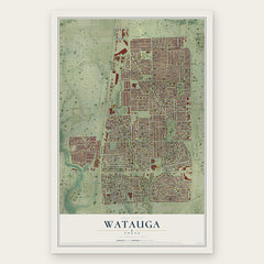
- Watauga 12" x 18" / Archival Matte Print $39.99
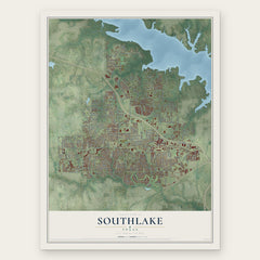
- Southlake 12" x 18" / Archival Matte Print $39.99
More maps nearby: North Richland Hills, Trophy Club, Colleyville, Roanoke and Haslet.
The art of mapping a place
How This Map Was Made
Real places. Remarkable detail. Discover the layers that turn geographic data into a map of home.

The view from above
Aerial imagery reveals the character of the land: woodland, open fields, and the patterns of a place.

The shape of the land
Elevation data brings hills, valleys, and subtle changes in the landscape into view.

The details of home
Roads, waterways, and building footprints come together to make the map feel unmistakably local.

Geography becomes art
Considered color, shading, and typography bring the layers together in a map made for your wall.


Process illustrated with Mendon, Massachusetts. Aerial imagery: USDA NAIP. Terrain: USGS 3D Elevation Program. Map details and finished artwork: KNOWOL.
The Details
About This Print
Choose an archival matte print, or a black or white Ayous wood frame. The archival matte print is unframed.
Select your size and finish above to see the matching product image and price.
Materials & Craftsmanship
A contemporary map with the character of a classic atlas, printed on archival matte paper. Optional frames are made from Ayous wood.
Your printed map does not include the watermark shown in the full-map preview.
Shipping & Delivery
Free shipping within the United States. Every print is made to order in the USA.
Buying a gift? Add a note in your cart and we'll include it. We never put prices in the package.
Prints ship within 2 to 3 business days. Allow 7 to 10 days total from ordering for delivery. Timing may vary during holidays or periods of high order volume.
Read our shipping policy.
Returns and damaged prints
Each print is made to order. Change-of-mind refunds are not available after production.
If your print arrives damaged, misprinted or incorrect, contact support@knowol.com within 30 days of receiving it. Include your order number, photos and a description of the issue.
Read our full refund and replacement policy. For questions about your order, email support@knowol.com.