
Search for another town
Free U.S. delivery 7 to 10 days after you order
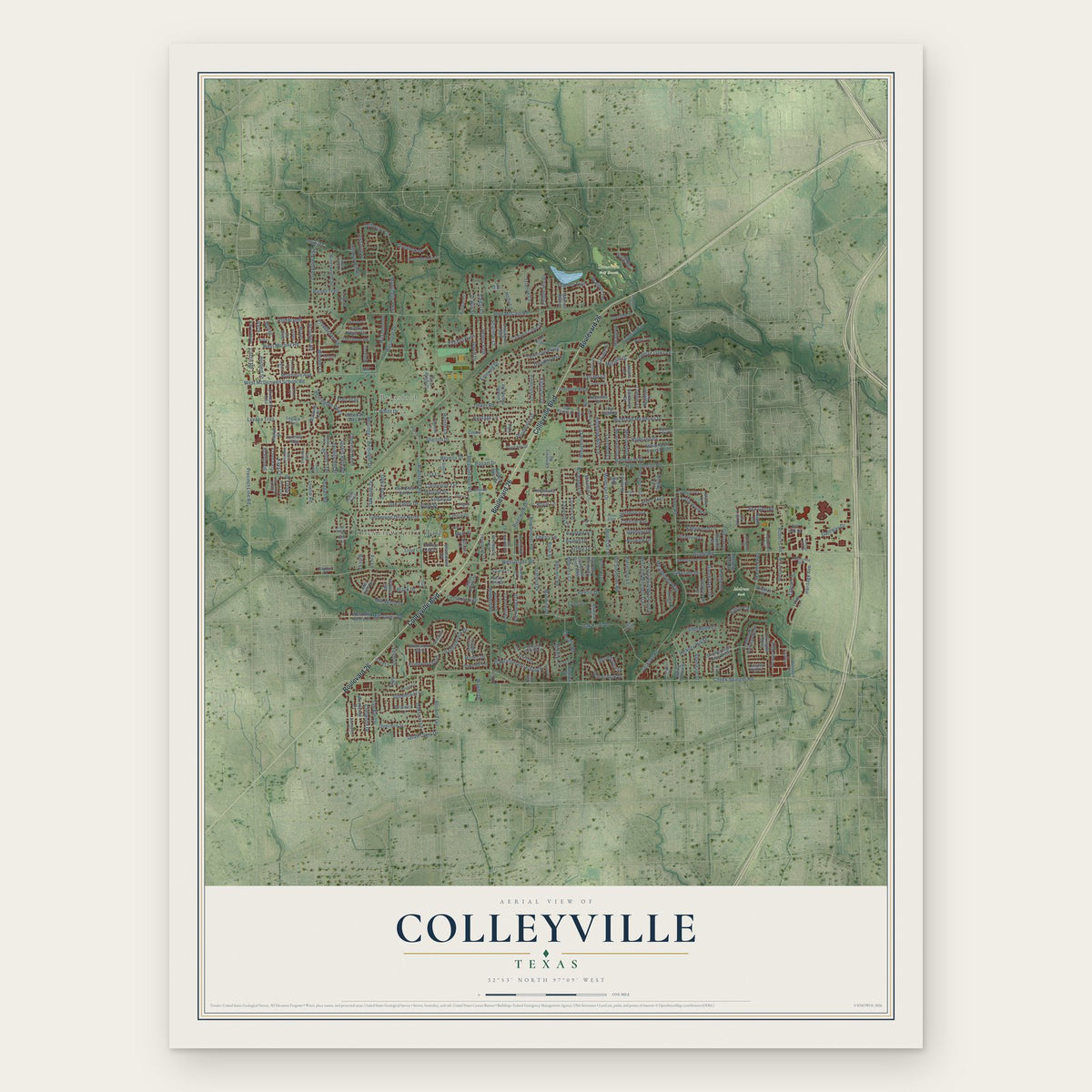
Colleyville, Texas Map Art
Building by building, with labeled streets and shaded relief.
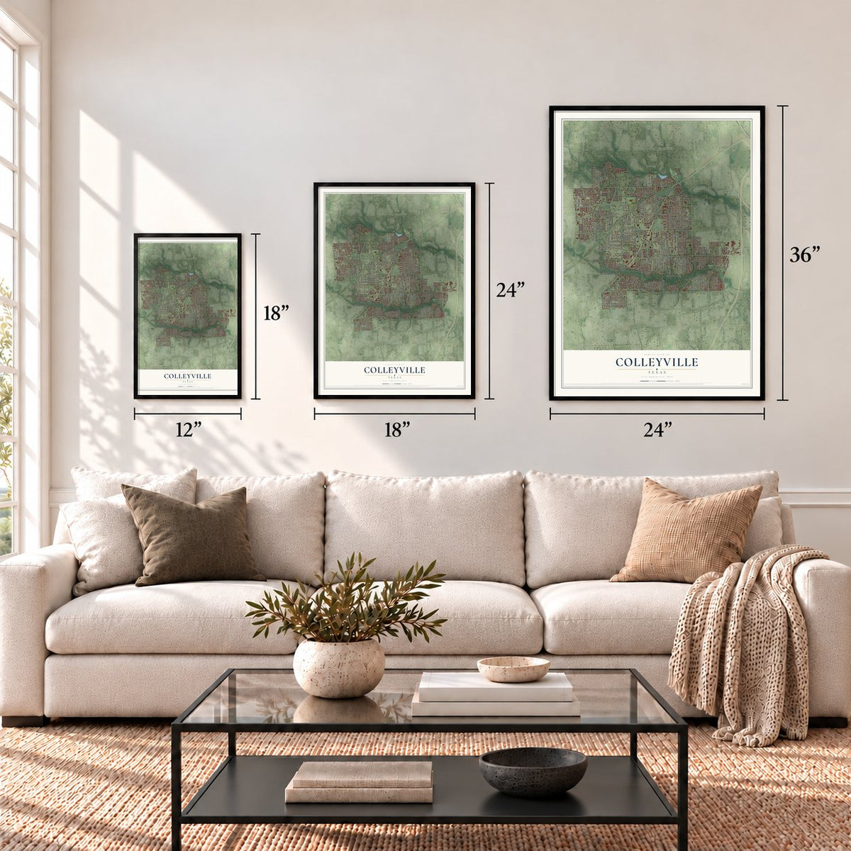
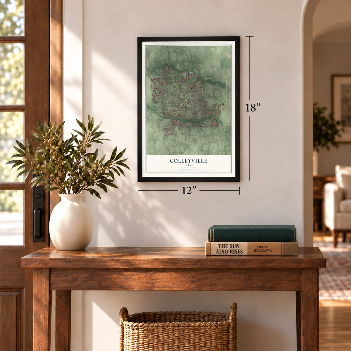
12" x 18" Archival Matte Print
A Map of Home. A Work of Art.
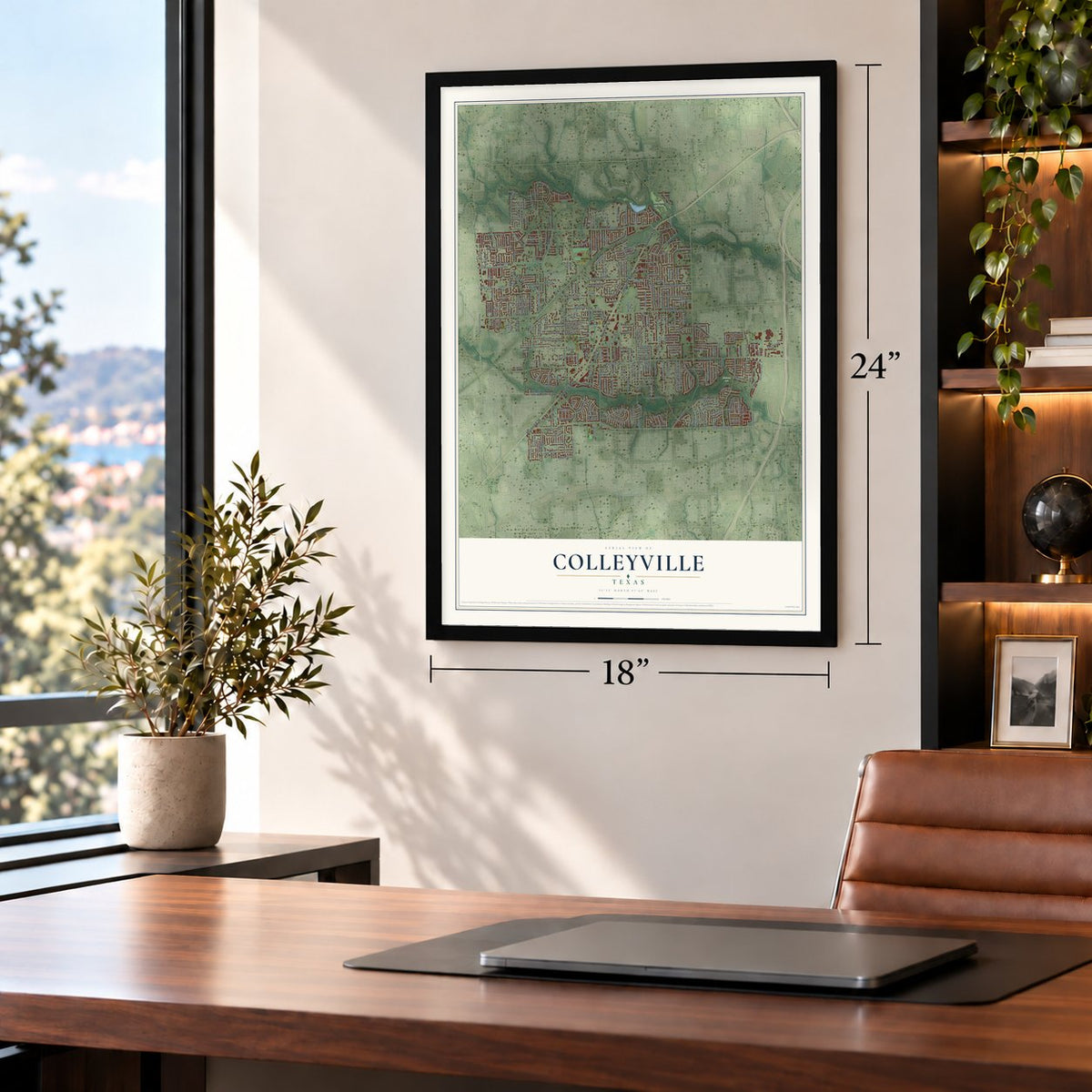
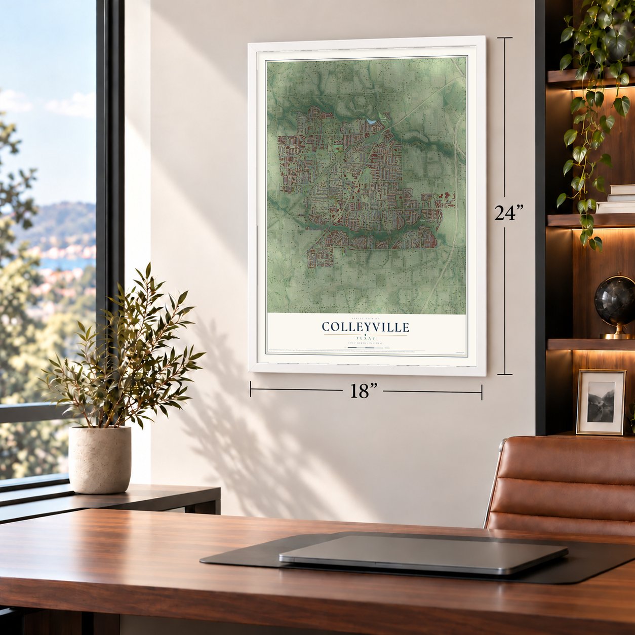
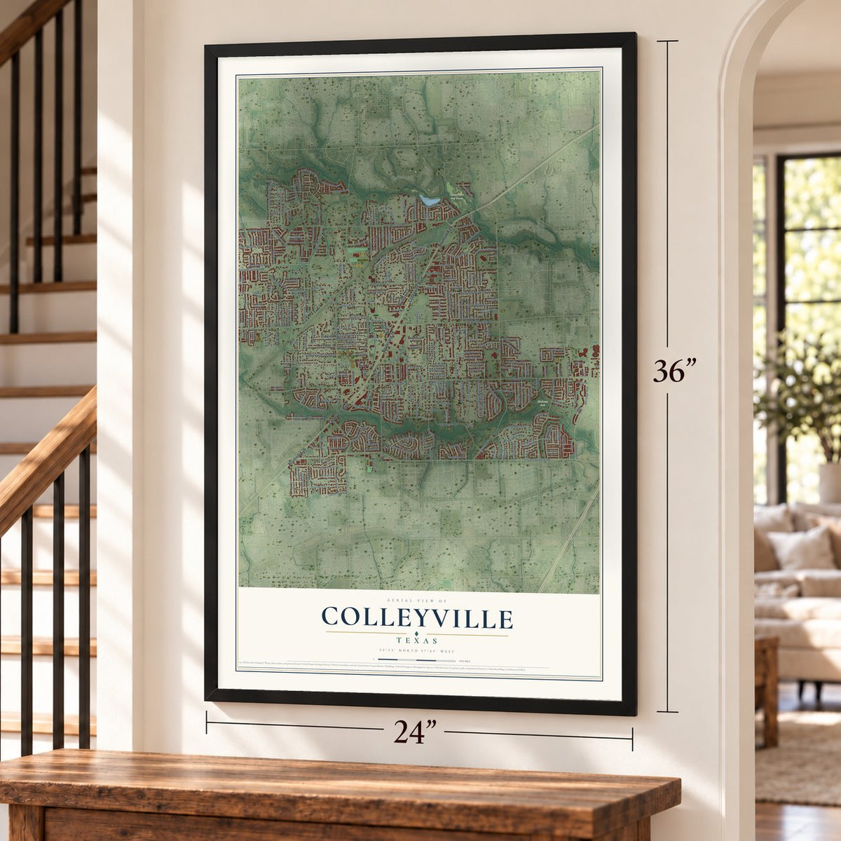
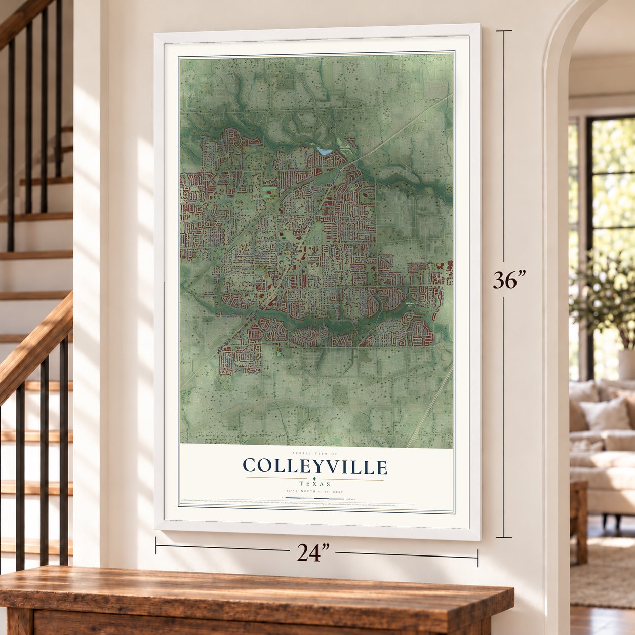
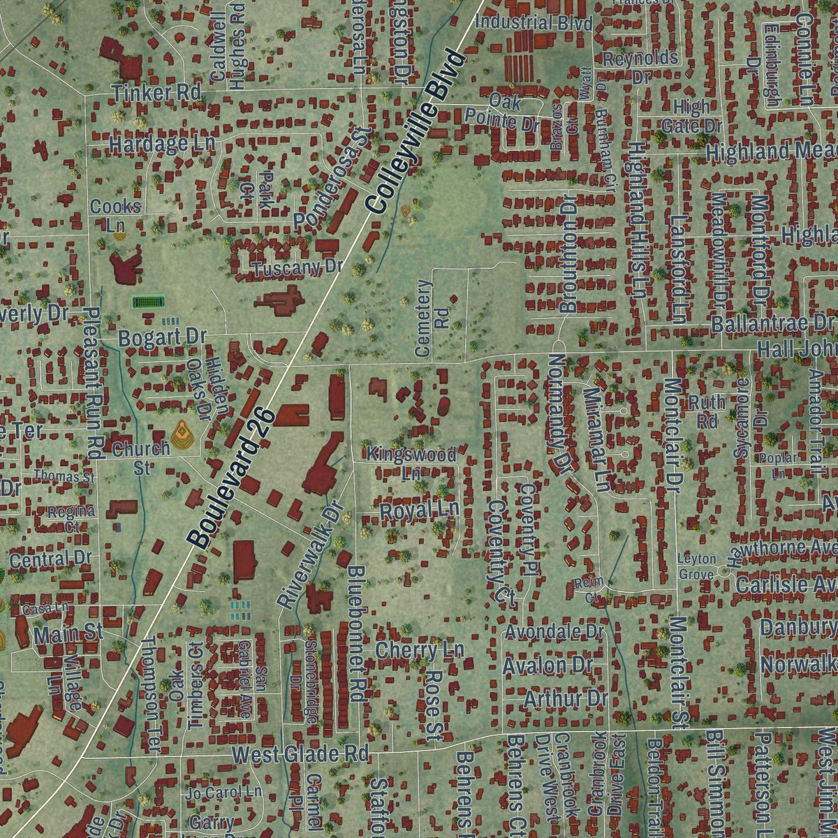
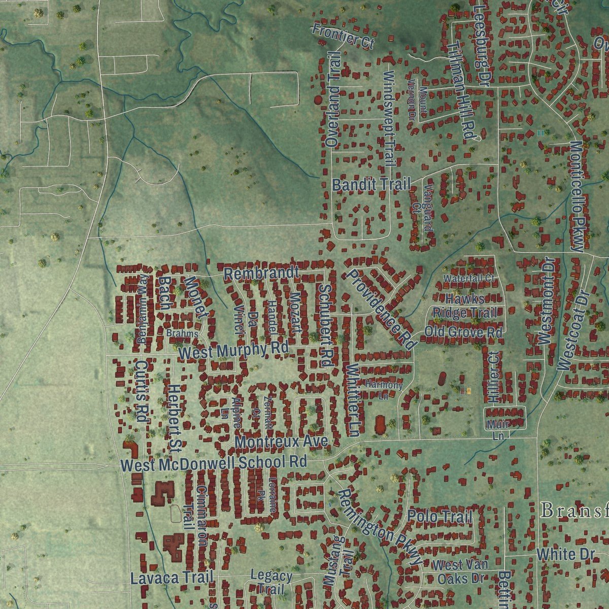
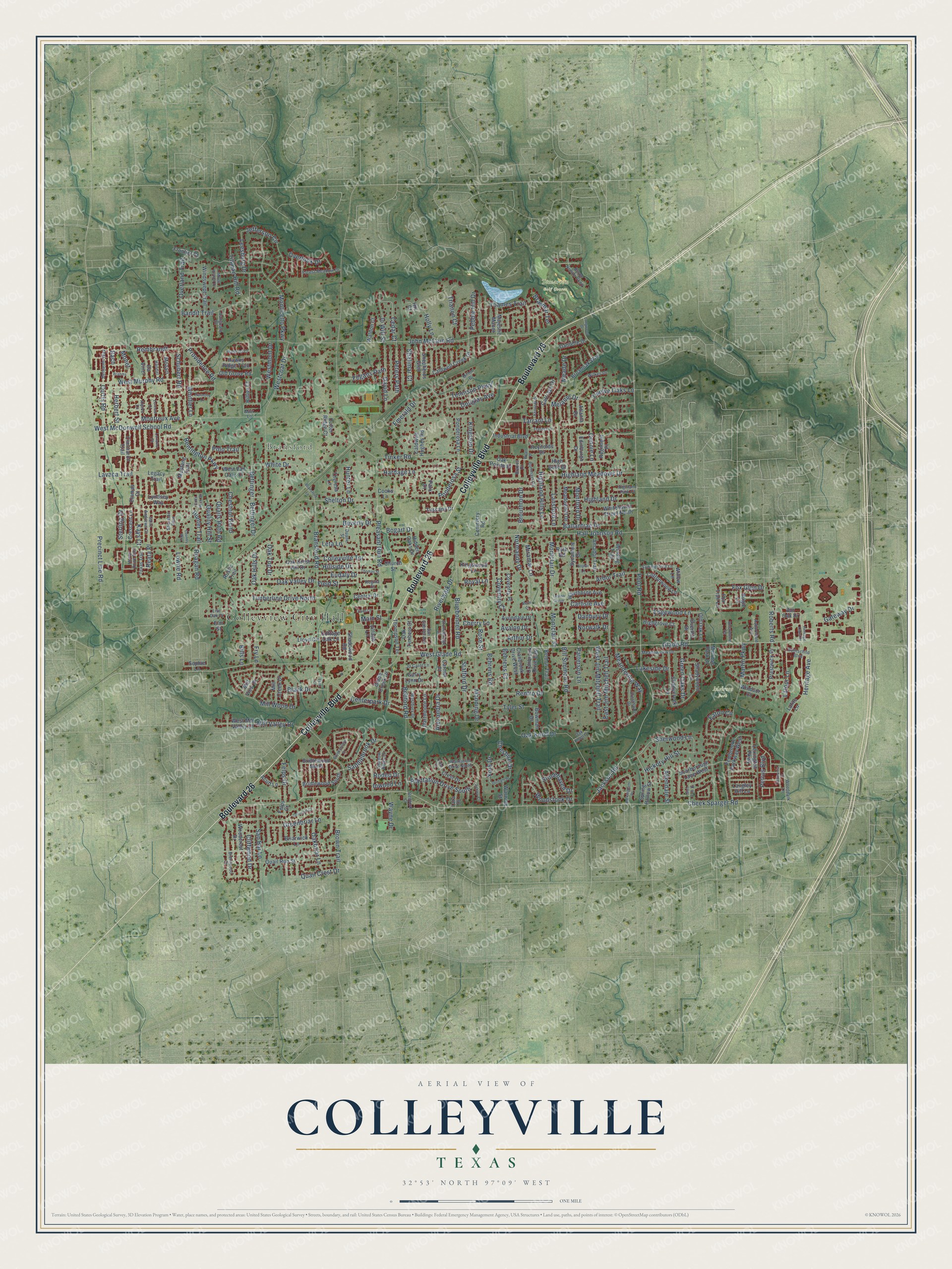
Explore Colleyville, Texas from a whole new perspective. Created using aerial imagery and detailed geographic data, this map captures Colleyville building by building, with labeled streets, familiar landmarks, and shaded topographical relief that highlights the natural contours of the landscape.
Combining modern data with the timeless character of a vintage atlas, this map is just as interesting up close as it is beautiful on the wall. Whether you grew up in Colleyville, spent memorable years there, or call it home today, this unique map is a great way to celebrate a place that means something to you. Zoom in on the preview to look for your street, and then order a print to put your memories on the wall.
Three ways to hang it
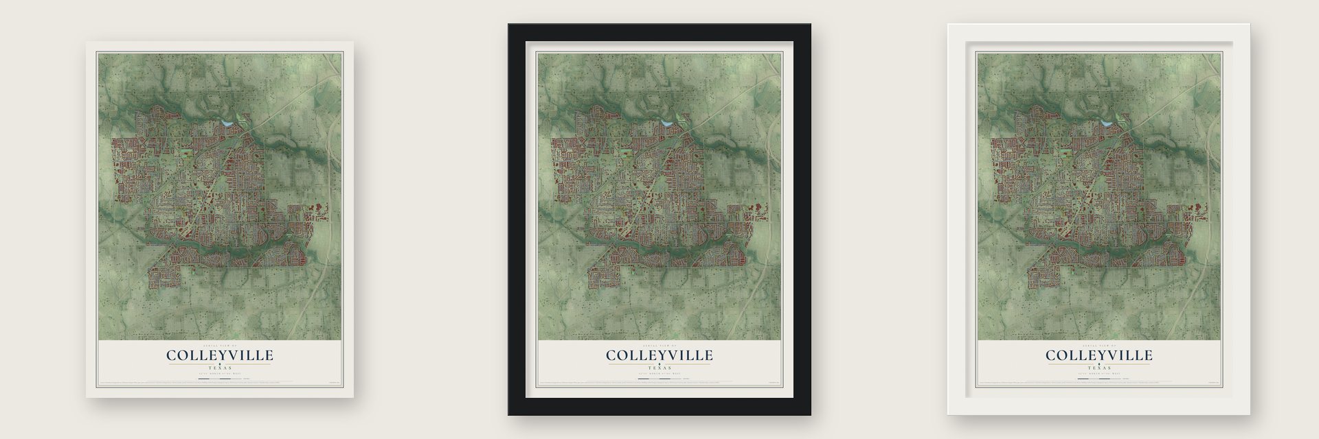
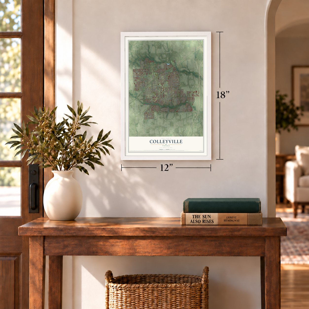
Unframed archival matte, a black wood frame or a white wood frame.
Up close
Geography Worth Displaying
This map was created using accurate cartographic data and authoritative geographic sources, including the U.S. Geological Survey and the Census Bureau. The map brings together terrain, waterways, roads, and building detail. The majority of the streets are labeled, houses are accurately depicted, and the topography is derived from government sources. Combining local data with carefully composed color and shading leads to this beautifully detailed Colleyville artwork for your wall.
Rather than simply showing street outlines, we’ve included as many of the street names as we could reasonably fit on the map while keeping their names legible. Zoom in on the high resolution preview to see exactly what’s on the map. We truly set out to create a statement piece for anyone who loves Colleyville. So whether it’s for you, or a gift for someone you love, we hope this map of Colleyville brings back fond memories.
Read the story behind this map of Colleyville, Texas from 2026.
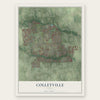
Find your street
Names on the Colleyville map
Every name below is printed on this map. Look for your street, your school, the park where you played, or the pond down the road.
Places and landmarks4
- Colleyview City Hall
- Bransford
- Melrose Park
- Timarron Golf Course
Streets and roads320
- Boulevard 26
- Colleyville Boulevard
- Cheek Sparger Road
- Woodstock Drive
- Reata Place
- Tennison Parkway
- Pool Road
- Jackson Road
- Miramar Lane
- Alexandra Drive
- Glade Road
- West Glade Road
- Pleasant Run Road
- John McCain Road
- Bransford Road
- Heritage Avenue
- Hall Johnson Road
- Precinct Line Road
- Oak Knoll Drive
- Westcoat Drive
- West McDonwell School Road
- Martin Parkway
- Brown Trail
- Bedford Road
- Riverwalk Drive
- Monticello Parkway
- Bluebonnet Road
- Montclair Drive
- Montclair Street
- Tinker Road
Show all 320 streets
- Lakeside Drive
- Hardage Lane
- Meade Drive
- Remington Parkway
- Highland Meadows Drive
- Ponderosa Street
- Sherwood Lane
- Meandering Way
- Bettinger
- Bettinger Drive
- Timberline Drive North
- Overland Trail
- Lavaca Trail
- Saddlebrook Drive
- Jefferson Circle
- Centerpark Drive
- Highland Drive
- Coventry Court
- West Murphy Road
- Providence Road
- Bandit Trail
- Highland Hills Lane
- San Bar Lane
- Oakbriar Lane
- Bill Simmons Road
- East Jim Mitchell Trail
- Emerald Drive
- West Jim Mitchell Trail
- Ballantrae Drive
- Normandy Drive
- Connie Lane
- Chestnut Bend
- Plantation Drive South
- Thames Trail
- Mill Wood Drive
- Greenbriar Lane
- Allendale Street
- Manning Drive
- Stafford Drive
- David Lane
- Shelton Drive
- Rembrandt
- Bogart Drive
- Colleyville Terrace
- Trianon Court
- Beverly Drive
- Roberts Road
- Westmont Drive
- Melanie Drive
- Pebble Hill Drive
- Tillman Hill Road
- Green Oaks Drive
- Hickory Hill Street
- Eaton Circle
- Douglas Avenue
- Behrens Road
- Cheshire Drive
- Inwood Lane
- Overlook Drive
- Whittier Lane
- Arbor Trail
- Quail Crest Drive
- Jo Will Street
- Gateway Drive
- Cedar Court
- Renfro Drive
- Mill Valley Drive
- Tarrant Lane
- Holly Lane
- Peters Path
- Lansford Lane
- Hunter Trail
- Fegans Path
- Brouthton Drive
- Edgewood Lane
- Quails Path Road
- Twelve Oaks Lane
- Felps Drive
- Leta Lane
- Oak Valley Drive
- Patterson Lane
- Petrus Boulevard
- Carlisle Avenue
- Latour Lane
- Curtis Road
- Herbert Street
- Behrens Court
- Main Street
- Sterling Drive
- Fox Glen Drive
- Quality Hill Street
- Shalimar Court
- Montreux Avenue
- Tyler Street
- White Drive
- Stonehaven Drive
- Leesburg Drive
- Cliffwood Drive
- Schubert Road
- Oak Top Drive
- Black Drive
- Hillside Drive
- Eudaly Drive
- Wayne Drive
- Hunter Lane
- Montford Drive
- Field Street
- Kingston Drive
- Fry Lane
- Kays Court
- Bills Lane
- Reagan Road
- Lowrie Road
- Braemar Terrace
- Oak Hills Drive
- Norwalk Drive
- Cherry Lane
- Danbury Drive
- Arthur Drive
- Avalon Drive
- Royal Lane
- Rose Street
- York Drive
- Bach
- Rodeo Drive
- Polo Trail
- Monet
- Regiment Place
- Cemetery Road
- Legacy Trail
- Church Street
- Lafite Lane
- Rustic Trail
- Shadywood Lane
- Windswept Trail
- Pembrooke Parkway West
- Scarborough Lane West
- Coventry Place
- Shadycreek Lane
- Mustang Trail
- Atlanta Drive
- Spring Hollow Street
- Carriage Drive
- Oak Pointe Drive
- Caldwell Creek Drive
- Crest Drive
- Oak Crest Hill Drive
- Quail Run Street
- Meadowhill Drive
- Whitehaven Street North
- Amador Trail
- Cimmaron Trail
- Garry Lynn Drive
- Broadoak Way
- Bridlewood South
- Mill Creek Drive
- Village Lane
- Crescent Lane
- Old Grove Road
- Bridlewood North
- Elm Street
- Hidden Oaks Drive
- Hawthorne Avenue
- Cottonwood Lane
- Dartmoore Lane
- Shepherds Glen
- Prestwick Drive
- Ponderosa Lane
- Thompson Terrace
- Lloyd Circle
- Industrial Boulevard
- Mill View Drive
- Caldwell Hughes Road
- Lexington Parkway
- Cutter Ridge Court
- Sycamore Drive
- Oak Timbers Court
- Avondale Drive
- West Van Oaks Drive
- Highgrove Court
- Glade Creek Drive
- Cranbrook Drive West
- Theresa Lane
- Beldon Trail
- Cranbrook Drive East
- Da Vinci
- Briarwick Lane
- Shadowood Road
- Overhill Drive
- Woodcrest Drive
- Kingswood Lane
- Winding Trail
- Mozart
- Tuscany Drive
- Hawks Ridge Trail
- Danielle Drive
- West Mill Valley Drive
- Old Oak Lane
- Emmas Court
- Majestic Manor
- Cottage Oak Lane
- Lyndsey Way
- Central Drive
- Frontier Court
- Bowman Drive
- Melrose Park Drive
- Acuff Lane
- Waldon Court
- Warwick Street
- Reynolds Drive
- Edinburgh Drive
- High Gate Drive
- Willow Lane
- Carmel Place
- Langley Hill Lane
- Hillier Court
- Sophie Lane
- Bur Oak Drive
- Windsor Court
- Bugle Lane
- Fox Trail Lane
- Felps Court
- Tara Drive
- Cooks Lane
- Ruth Road
- Park Court
- Hix Court
- Plantation Drive North
- Texas Trail
- Meadowview Drive
- Forest Meadow Drive
- Stonebridge Drive
- Summertree Lane
- Milton Drive
- Cresthaven Drive
- Shadow Ridge Drive
- Saint Andrews Court
- Benjamin Way
- Heron Drive East
- Byron Nelson Parkway
- Handel
- Westbury Drive
- Bedford Court
- Auburndale Avenue
- Burnham Circle
- Brentwood Drive
- Vanguard Court
- Jo Carol Lane
- San Gabriel Avenue
- Rothschild Boulevard
- Highland Park Court
- Woodpark Lane
- Oak Knoll Court
- Wilkes Drive
- Sherston Glen
- Duane Street
- Alpine Lane
- Live Oak Drive
- Brazos Court
- Regina Court
- Muir Lane
- Buckingham Place
- Glen Dale Drive
- Heritage Oaks Drive
- Kennedy Drive
- Brahms
- Longwood Drive
- Brookhollow Drive
- Frances Drive
- Wyatt Drive
- Thomas Street
- Waterfall Court
- Briarcliff Court
- Strrathmore Terrace
- Durham Drive
- Lorraine Pk
- Harmony Lane
- Campania Court
- Casa Lane
- Poplar Lane
- Colts Neck Drive
- Bransford Lane
- Zermatt Court
- Mount Vernon Drive
- Ashley Court
- Leyton Grove
- Country Way
- Crest Court
- Ford Court
- Reim Court
Names are listed as they appear on the printed map. Zoom into the product photos to find them.
About Colleyville, Texas
Colleyville is a city in northeastern Tarrant County whose recorded settlement history begins in the 1850s. Its name recalls physician Hilburn Howard Colley, who moved to Texas in 1880 and soon settled in Bransford. The city incorporated on January 10, 1956, and the 2020 census counted 26,057 residents.
- Early CommunitiesRed Rock, later called Bransford, developed with Spring Garden, Pleasant Run, and Pleasant Glade within the area now enclosed by Colleyville's city limits.
- Colley's LegacyColley practiced medicine locally for forty years, and his name became attached to the community that grew around a store established in 1914.
- A Small BeginningThe earliest reported count was 25 residents and two businesses in 1936; by 1958, the population had reached 100.
- Fort Worth ConnectionHistorical accounts identify proximity to Fort Worth, where most residents worked, as the main reason for Colleyville's growth.
Keep exploring Texas
Colleyville is one of 2,049 Texas towns we've mapped. Every dot on the map is a print of its own.
The search covers every state, Texas first.
Near Colleyville
Order 2 or more town maps and save 10%. Shown in the size and finish you picked above, so they hang as a set.
- Bedford 12" x 18" / Archival Matte Print $39.99
- Hurst 12" x 18" / Archival Matte Print $39.99
- Southlake 12" x 18" / Archival Matte Print $39.99
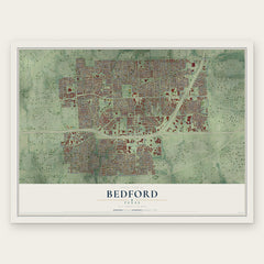
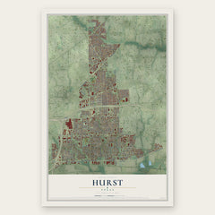
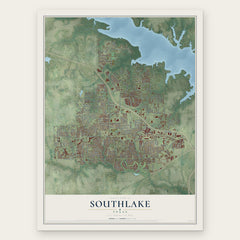
More maps nearby: North Richland Hills, Euless, Keller, Grapevine and Watauga.
The art of mapping a place
How This Map Was Made
Real places. Remarkable detail. Discover the layers that turn geographic data into a map of home.

The view from above
Aerial imagery reveals the character of the land: woodland, open fields, and the patterns of a place.

The shape of the land
Elevation data brings hills, valleys, and subtle changes in the landscape into view.

The details of home
Roads, waterways, and building footprints come together to make the map feel unmistakably local.

Geography becomes art
Considered color, shading, and typography bring the layers together in a map made for your wall.


Process illustrated with Mendon, Massachusetts. Aerial imagery: USDA NAIP. Terrain: USGS 3D Elevation Program. Map details and finished artwork: KNOWOL.
The Details
About This Print
Choose an archival matte print, or a black or white Ayous wood frame. The archival matte print is unframed.
Select your size and finish above to see the matching product image and price.
Materials & Craftsmanship
A contemporary map with the character of a classic atlas, printed on archival matte paper. Optional frames are made from Ayous wood.
Your printed map does not include the watermark shown in the full-map preview.
Shipping & Delivery
Free shipping within the United States. Every print is made to order in the USA.
Buying a gift? Add a note in your cart and we'll include it. We never put prices in the package.
Prints ship within 2 to 3 business days. Allow 7 to 10 days total from ordering for delivery. Timing may vary during holidays or periods of high order volume.
Read our shipping policy.
Returns and damaged prints
Each print is made to order. Change-of-mind refunds are not available after production.
If your print arrives damaged, misprinted or incorrect, contact support@knowol.com within 30 days of receiving it. Include your order number, photos and a description of the issue.
Read our full refund and replacement policy. For questions about your order, email support@knowol.com.