
Search for another town


Free U.S. delivery 7 to 10 days after you order
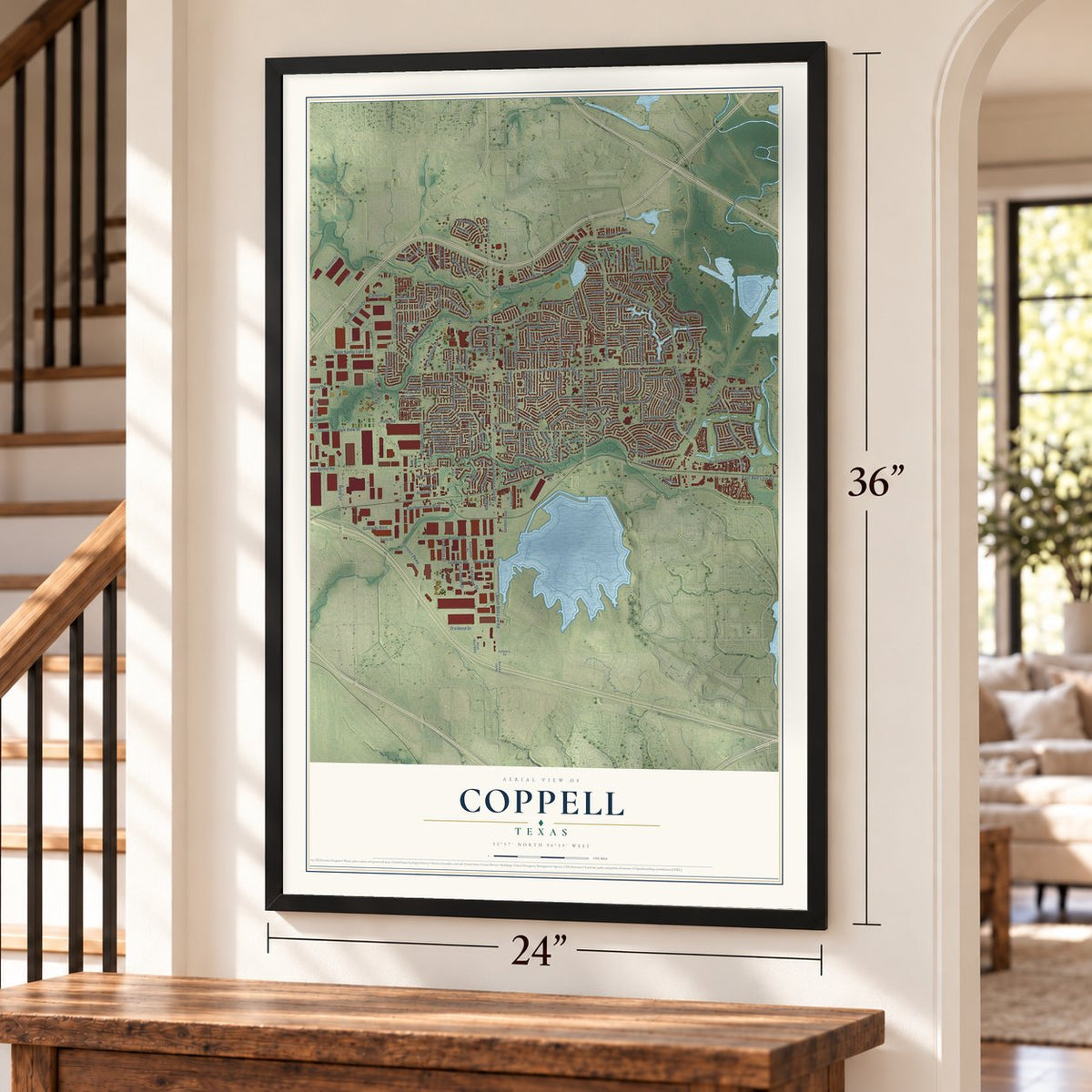
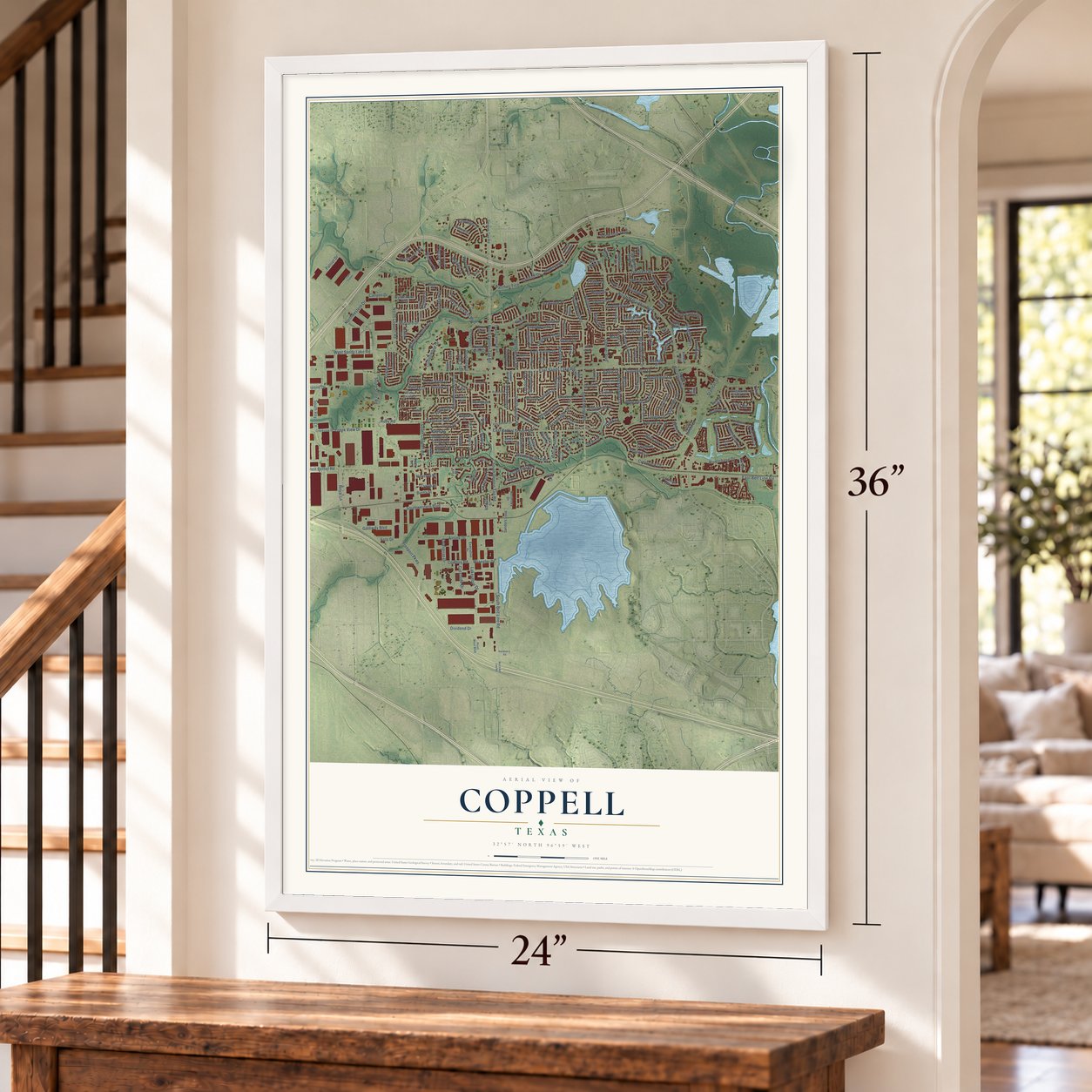
Coppell, Texas Map Art
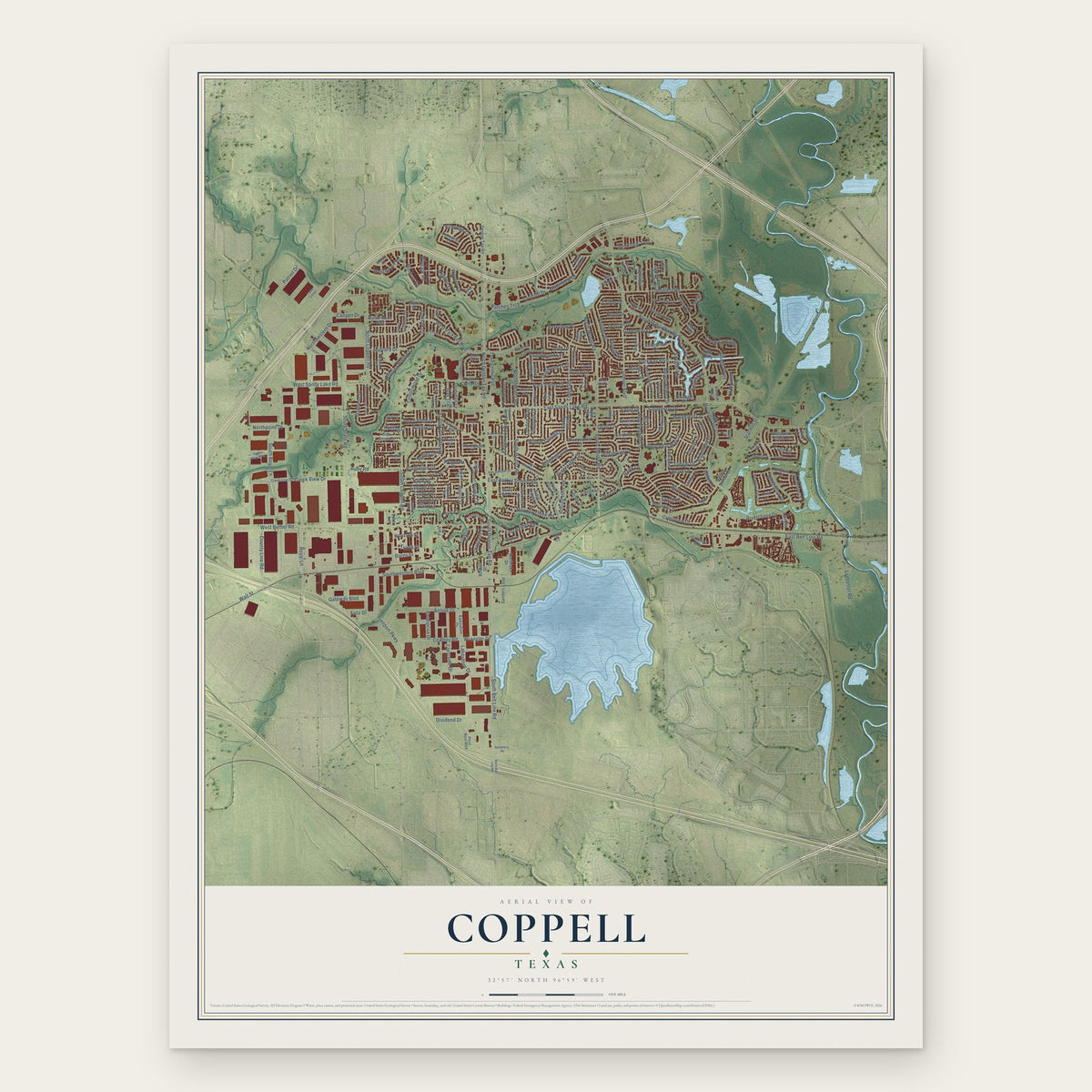
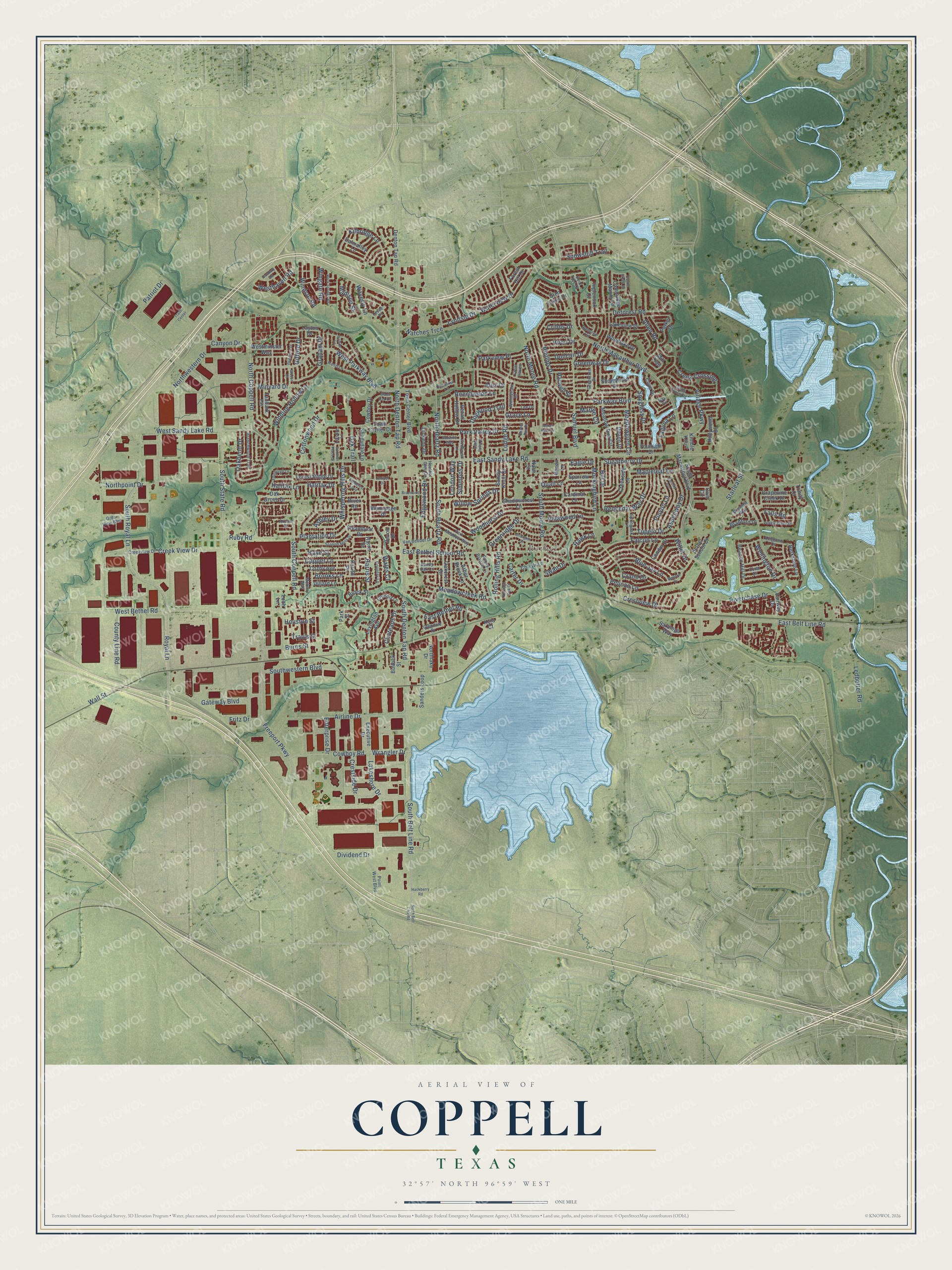
A new map of Coppell, Texas, made in 2026 and printed to order on thick archival matte paper.
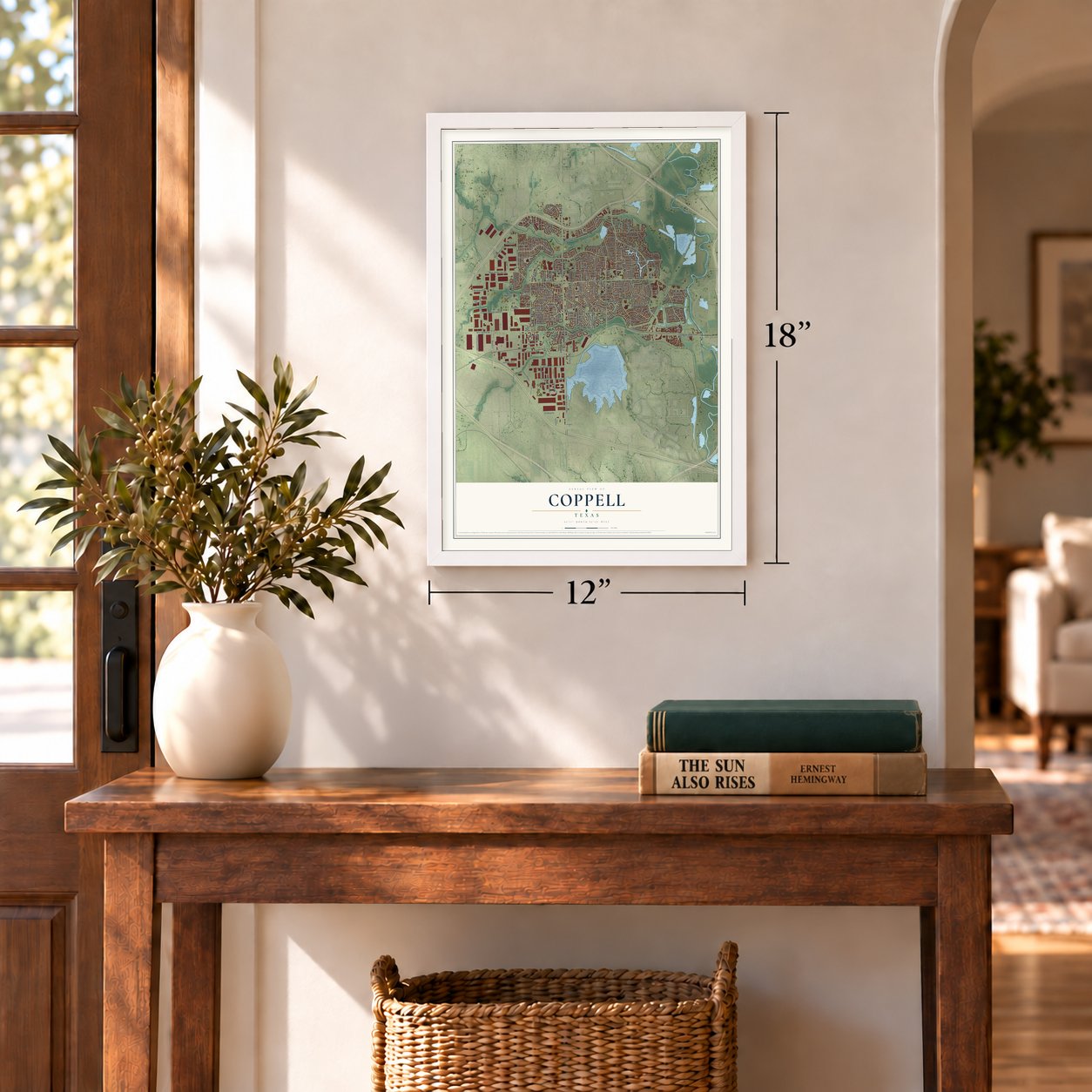
12" x 18" Archival Matte Print
A Map of Home. A Work of Art.
This beautifully detailed map of Coppell, Texas was created in 2026 using aerial imagery combined with modern topographical, census, street and landmark data. It's a modern aerial view of Coppell in Dallas County, Texas, that combines modern data with a vintage aesthetic. Zoom in on the preview and look for your block.
Three ways to hang it
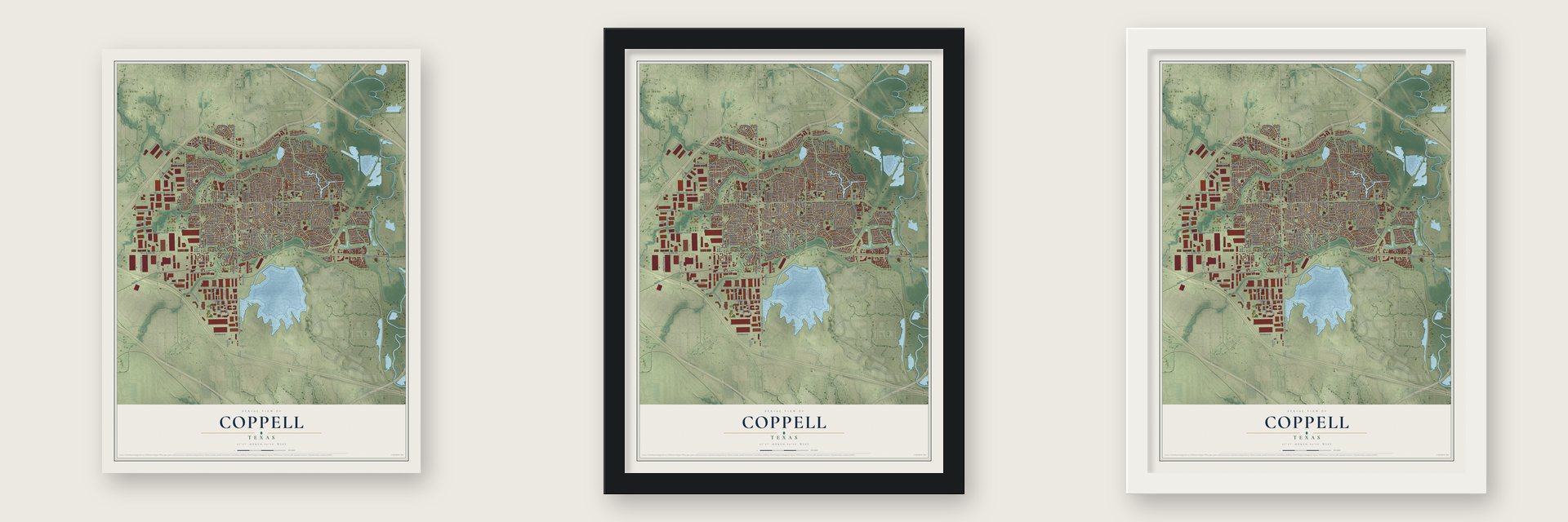
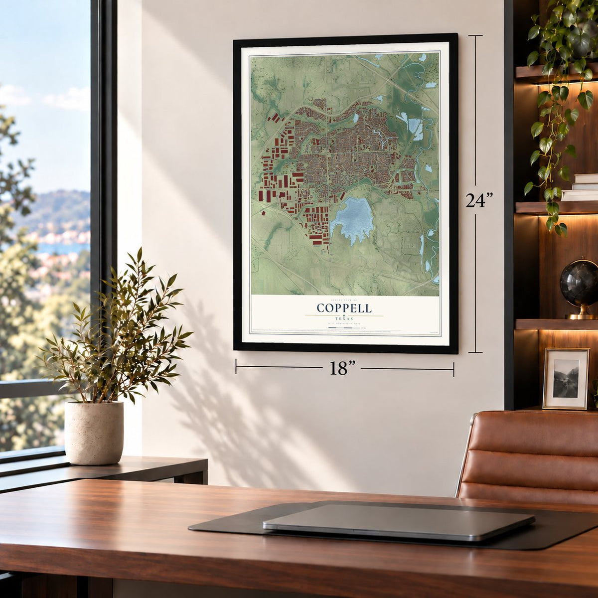
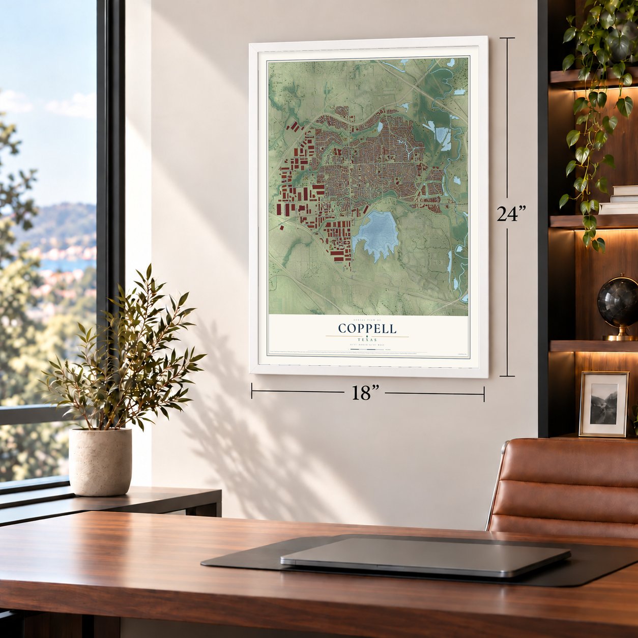
Unframed archival matte, a black wood frame or a white wood frame.
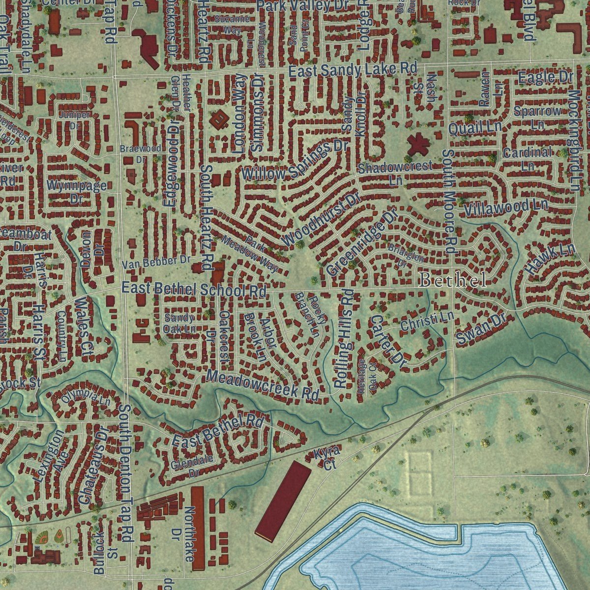
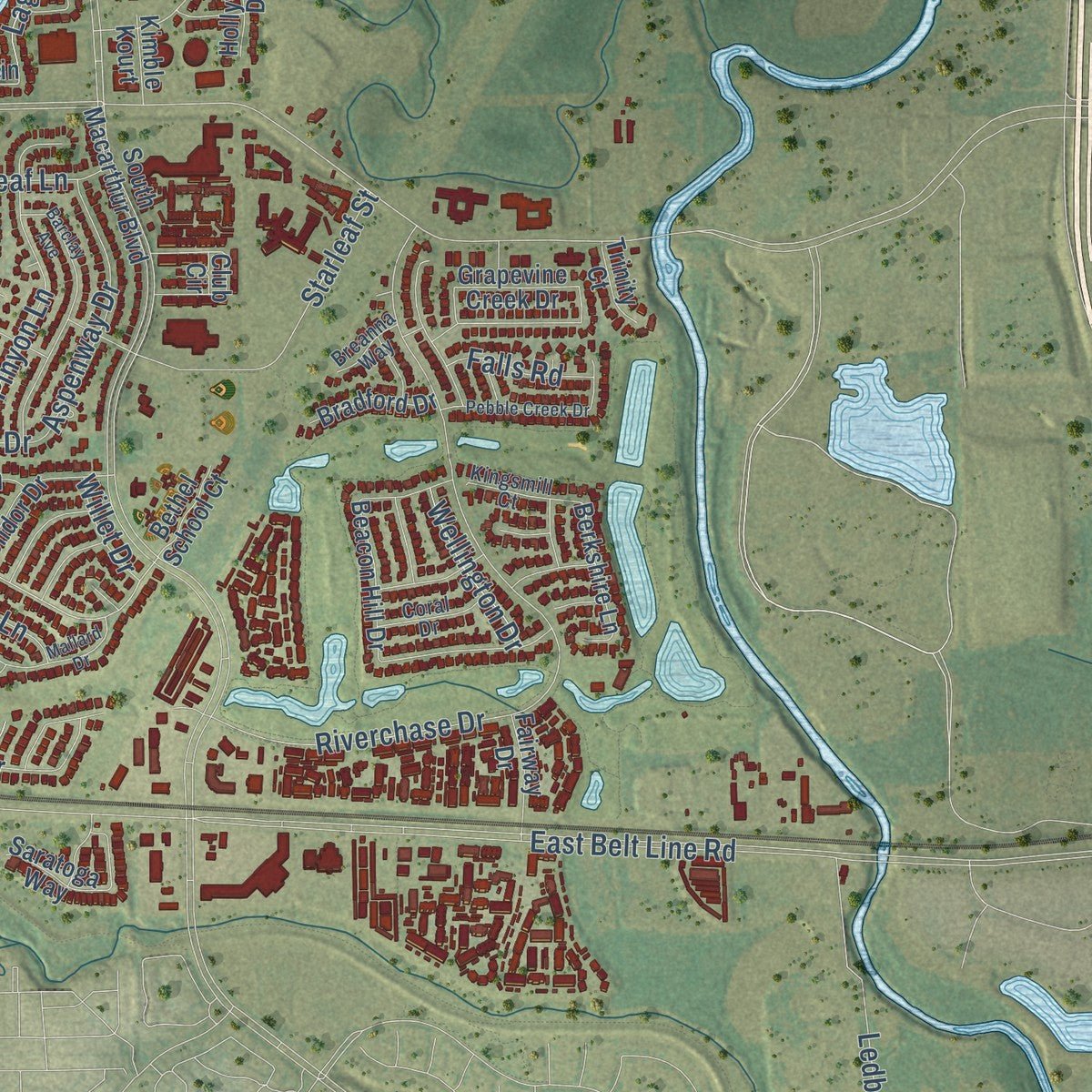
Up close
Real geography. Art worth displaying.
This map was created using accurate cartographic data and authoritative geographic sources, including the U.S. Geological Survey and the Census Bureau. The map brings together terrain, waterways, roads, and building detail. The majority of the streets are labeled, houses are accurately depicted, and the topography is derived from government sources. Combining local data with carefully composed color and shading leads to this beautifully detailed Coppell artwork for your wall.
Rather than simply showing street outlines, we’ve included as many of the street names as we could reasonably fit on the map while keeping their names legible. Zoom in on the high resolution preview to see exactly what’s on the map. We truly set out to create a statement piece for anyone who loves Coppell. So whether it’s for you, or a gift for someone you love, we hope this map of Coppell brings back fond memories.

About Coppell, Texas
Coppell occupies the northwest corner of Dallas County, with a small northern section extending into Denton County. First settled in the mid-1800s, the community developed around a post office and railroad before establishing city government in the 1950s. The 2020 census recorded 42,983 residents.
- From Gibbs to CoppellOnce called Gibbs Station for landowner Barnett Gibbs, the community was renamed in 1892 to honor financier George A. Coppell.
- Railroad BeginningsCoppell gained a post office in 1887, and the St. Louis, Arkansas and Texas Railway reached the community the following year.
- City GovernmentThe community formed a city government in 1956, adopted a zoning plan, and incorporated in 1962.
- Decades of GrowthCoppell's population rose from 16,881 in 1990 to 35,958 in 2000 and reached 42,983 in 2020.
- Waterways Through TownGrapevine Creek, Denton Creek, Cottonwood Branch, and the Elm Fork of the Trinity River are part of Coppell's landscape.
Find your street
Names on the Coppell map
Every name below is printed on this map. Look for your street, your school, the park where you played, or the pond down the road.
Places and landmarks1
- Bethel
Streets and roads248
- South Belt Line Road
- Natches Trce
- North Denton Tap Road
- Royal Lane
- South Royal Lane
- Sugarberry Drive
- Rolling Hills Road
- East Bethel School Road
- Hill Drive
- Halifax Lane
- Wall Street
- Freeport Parkway
- East Sandy Lake Road
- East Belt Line Road
- North Macarthur Boulevard
- Parkway Boulevard
- West Parkway Boulevard
- West Bethel Road
- West Sandy Lake Road
- South Denton Tap Road
- Riverchase Drive
- South Coppell Road
- Dividend Drive
- Deforest Road
- Creek View Drive
- Mockingbird Lane
- Southwestern Boulevard
- North Coppell Road
- Samuel Boulevard
- Airline Drive
Show all 248 streets
- Northpoint Drive
- Plantation Drive
- Wrangler Drive
- South Moore Road
- North Moore Road
- Cowboy Road
- Meadowglen Circle
- Village Parkway
- Lodge Road
- Park Valley Drive
- Patriot Drive
- Whispering Hills Drive
- Gateway Boulevard
- Phillips Drive
- North Heartz Road
- Ledbetter Road
- County Line Road
- Starleaf Street
- Meadowcreek Road
- South Heartz Road
- Harris Street
- Winding Hollow Lane
- Woodhurst Drive
- East Bethel Road
- South State Road
- Falcon Lane
- Pinyon Lane
- Waterview Drive
- Oakbend Drive
- Lakeshore Drive
- Simmons Drive
- Blue Jay Lane
- Pelican Lane
- Mapleleaf Lane
- Greenridge Drive
- Northwestern Drive
- Redcedar Way Drive
- Willow Springs Drive
- Parkview Place
- Graham Drive
- Ruby Road
- Westhaven Road
- Crestview Drive
- Spyglass Drive
- Allen Road
- Edgewood Drive
- Greenway Drive
- Crestside Drive
- Fritz Drive
- Aspenway Drive
- Villawood Lane
- Beechwood Lane
- Creek Crossing
- Lyndsie Drive
- Brooks Lane
- Cooper Lane
- Kilbridge Lane
- Canyon Drive
- Cottonwood Drive
- Minyard Drive
- Gifford Drive
- Dogwood Trail
- Duncan Drive
- Carter Drive
- Laguna Lane
- Hood Drive
- Burns Street
- Snowshill Trail
- Windsor Road
- Quail Lane
- Wellington Drive
- Alex Drive
- Madison Street
- Kaye Street
- Tupelo Drive
- Halifax Drive
- Hawk Lane
- Chateaus Drive
- Wingate Road
- Waverly Lane
- Enterprise Drive
- Falls Road
- Marlee Circle
- Eagle Drive
- London Way
- Oak Trail
- Travis Street
- Houston Street
- Harwell Street
- Wales Court
- Ashley Drive
- Cribbs Drive
- Grace Lane
- Crane Drive
- Swan Drive
- Willet Drive
- Denton Tap Road
- Fountain Drive
- Berkshire Lane
- Devon Drive
- South Macarthur Boulevard
- Shadowcrest Lane
- Pecan Hollow Drive
- Harris Drive
- Meadow Run Circle
- Town Center Boulevard
- Forest Hill Drive
- Town Center Drive
- Cove Drive
- Cowboy Drive
- Sandy Knoll Drive
- Cambridge Manor Lane
- Glen Lakes Drive
- Sanders Loop
- Creekside Lane
- Cozby Avenue
- Lexington Avenue
- Hollywood Drive
- Westminster Way
- Condor Drive
- Arbor Brook Lane
- Lakeview Drive
- Forest Ridge Drive
- Northlake Drive
- Raven Lane
- Woodlake Drive
- Beacon Hill Drive
- Executive Drive
- Dillard Lane
- Tanbark Circle
- Christi Lane
- Oakcrest Drive
- Shorewood Drive
- Shadydale Lane
- Cardinal Lane
- Parker Drive
- Oak Grove Drive
- Wynnpage Drive
- Inglenook Court
- Steamboat Drive
- Bradford Drive
- Dickens Drive
- Grapevine Creek Drive
- Fairway Drive
- Sparrow Lane
- Saratoga Way
- Dalmalley Lane
- Bethel School Court
- Bullock Street
- Deann Drive
- Layton Drive
- Brock Street
- Trinity Court
- Kimble Kourt
- River Road
- Parish Place
- Loch Lane
- Nash Street
- Kyra Court
- Mill Trail
- Park Street
- Club Circle
- Creekview Drive
- Raintree Circle
- Gibbs Crossing
- Heather Glen Drive
- Rocky Branch Lane
- Leisure Lane
- Glendale Drive
- Branchwood Trail
- Point West Boulevard
- Park Meadow Way
- Van Bebber Drive
- Country Lane
- Springoak Lane
- Levee Place
- Kingsmill Court
- Greentree Drive
- Gate View Boulevard
- Coral Drive
- Willingham Drive
- Olympia Lane
- Sandy Oak Lane
- Clear Haven
- Chestnut Lane
- Lee Drive
- Breanna Way
- Mobley Way
- Bent Tree Court
- Archer Drive
- Bay Circle
- Mallard Drive
- Briarglen Drive
- Barclay Avenue
- Martel Lane
- Black Oak Circle
- Castle Creek Drive
- Fieldcrest Loop
- Rock Springs Road
- Braewood Drive
- Pebble Creek Drive
- Spanish Moss Drive
- Edinburgh Lane
- Pedmore Drive
- Woodcrest Lane
- Avalon Lane
- Heritage Oak Court
- Suzanne Way
- Sand Point Court
- Indian Rock Drive
- North Belt Line Road
- Hackberry Road
- Summer Place Drive
- Gibson Court
- Banbury Road
- Juniper Drive
- Beaver Run Drive
- Trade Center
Names are listed as they appear on the printed map. Zoom into the product photos to find them.
The art of mapping a place
How This Map Was Made
Real places. Remarkable detail. Discover the layers that turn geographic data into a map of home.

The view from above
Aerial imagery reveals the character of the land: woodland, open fields, and the patterns of a place.

The shape of the land
Elevation data brings hills, valleys, and subtle changes in the landscape into view.

The details of home
Roads, waterways, and building footprints come together to make the map feel unmistakably local.

Geography becomes art
Considered color, shading, and typography bring the layers together in a map made for your wall.


Process illustrated with Mendon, Massachusetts. Aerial imagery: USDA NAIP. Terrain: USGS 3D Elevation Program. Map details and finished artwork: KNOWOL.
The Details
About This Print
Choose an archival matte print, or a black or white Ayous wood frame. The archival matte print is unframed.
Select your size and finish above to see the matching product image and price.
Materials & Craftsmanship
A contemporary map with the character of a classic atlas, printed on archival matte paper. Optional frames are made from Ayous wood.
Your printed map does not include the watermark shown in the full-map preview.
Shipping & Delivery
Free shipping within the United States. Every print is made to order in the USA.
Buying a gift? Add a note in your cart and we'll include it. We never put prices in the package.
Prints ship within 2 to 3 business days. Allow 7 to 10 days total from ordering for delivery. Timing may vary during holidays or periods of high order volume.
Read our shipping policy.
Returns and damaged prints
Each print is made to order. Change-of-mind refunds are not available after production.
If your print arrives damaged, misprinted or incorrect, contact support@knowol.com within 30 days of receiving it. Include your order number, photos and a description of the issue.
Read our full refund and replacement policy. For questions about your order, email support@knowol.com.
Find your town
Looking for another city?
Find a map of home in our Texas collection, or any town in the country.
Nearby
Maps of towns near Coppell
Know someone from one of these towns? Their map makes a great gift.
 Grapevine
, Texas
From $39.99See the map
 Carrollton
, Texas
From $39.99See the map
 Lewisville
, Texas
From $39.99See the map
More maps nearby: Farmers Branch, Irving, Hebron, Flower Mound and Addison.