
Search for another town
Free U.S. delivery 7 to 10 days after you order
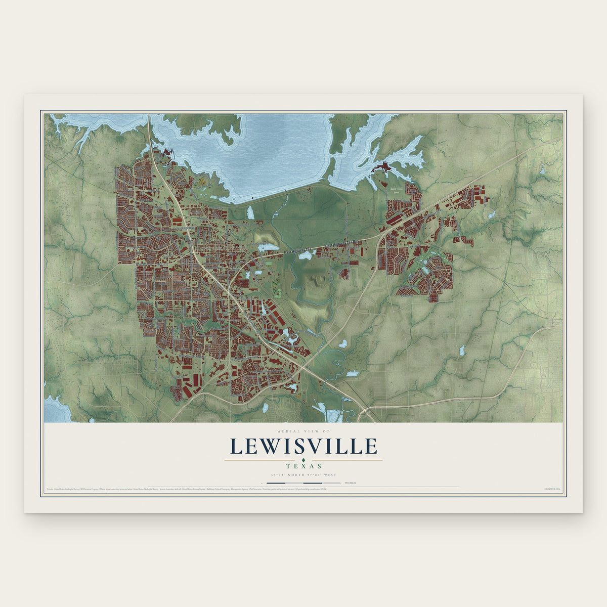
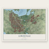
Lewisville, Texas Map Art
Building by building, with labeled streets and shaded relief.
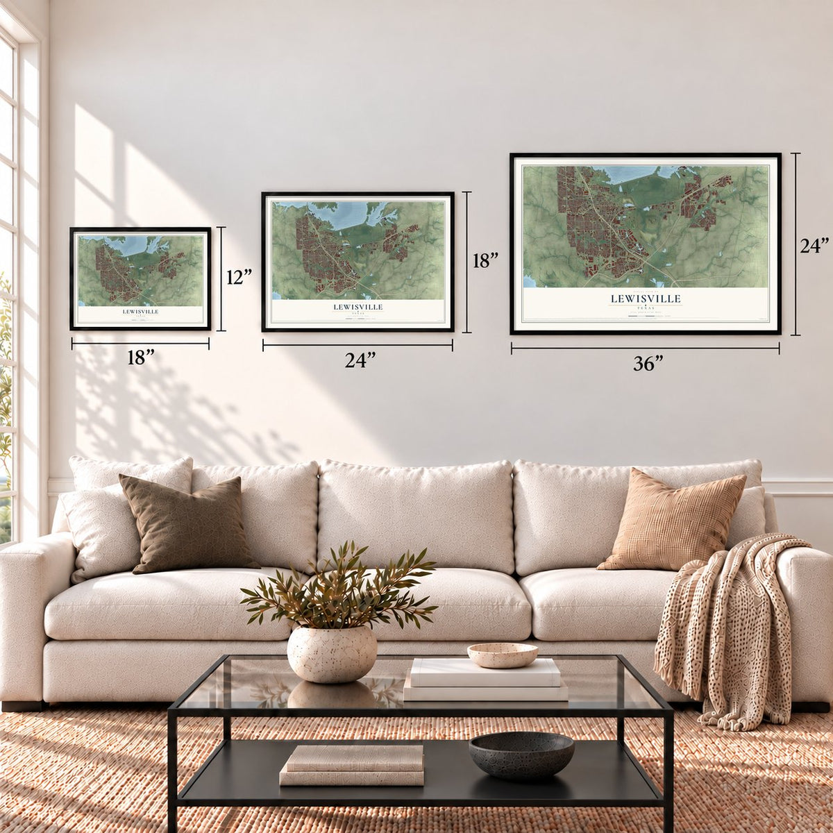
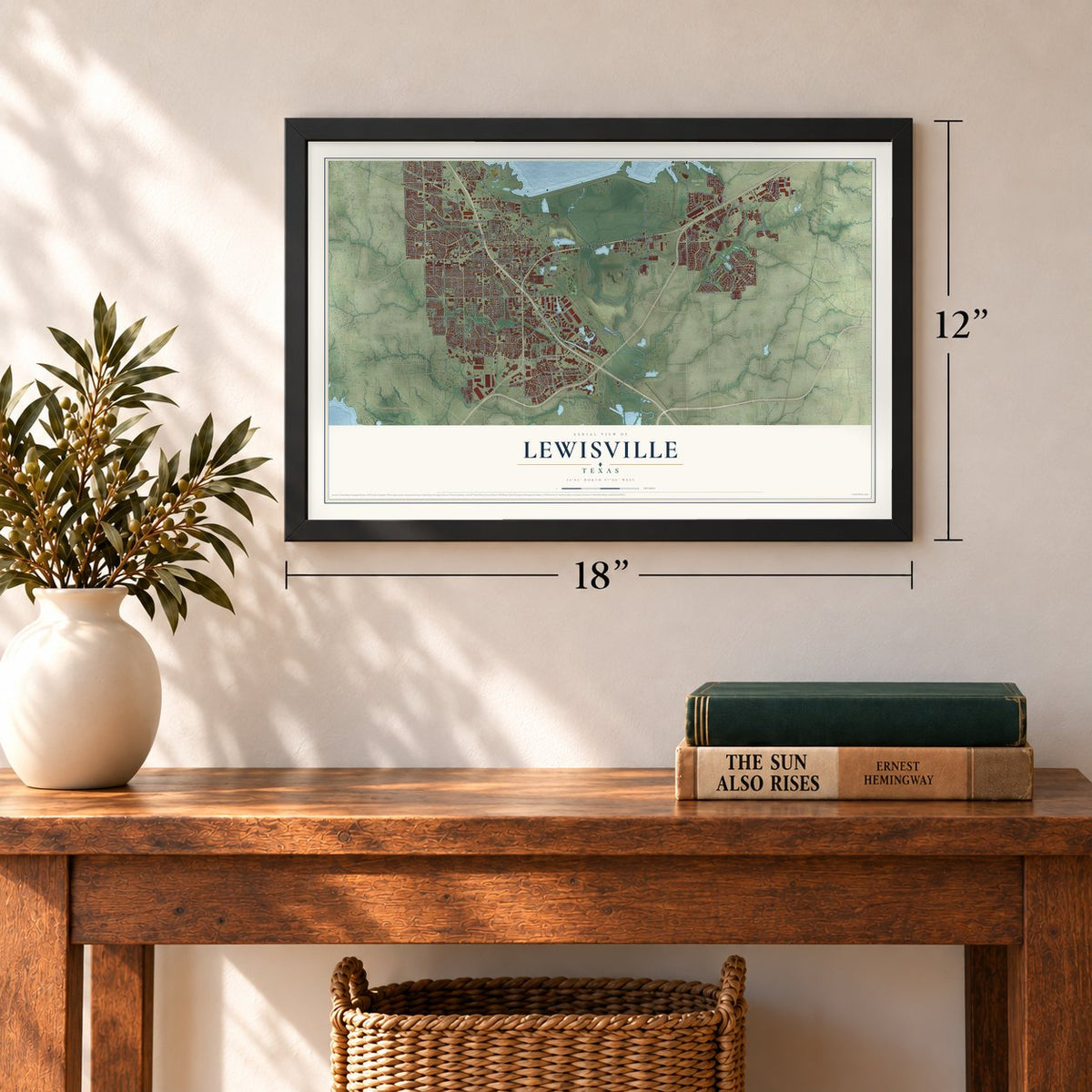
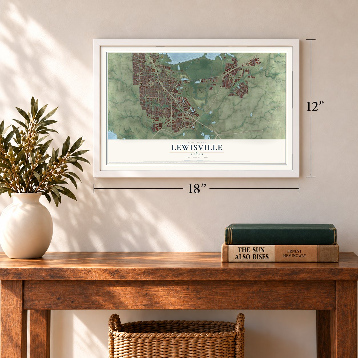
12" x 18" Archival Matte Print
A Map of Home. A Work of Art.
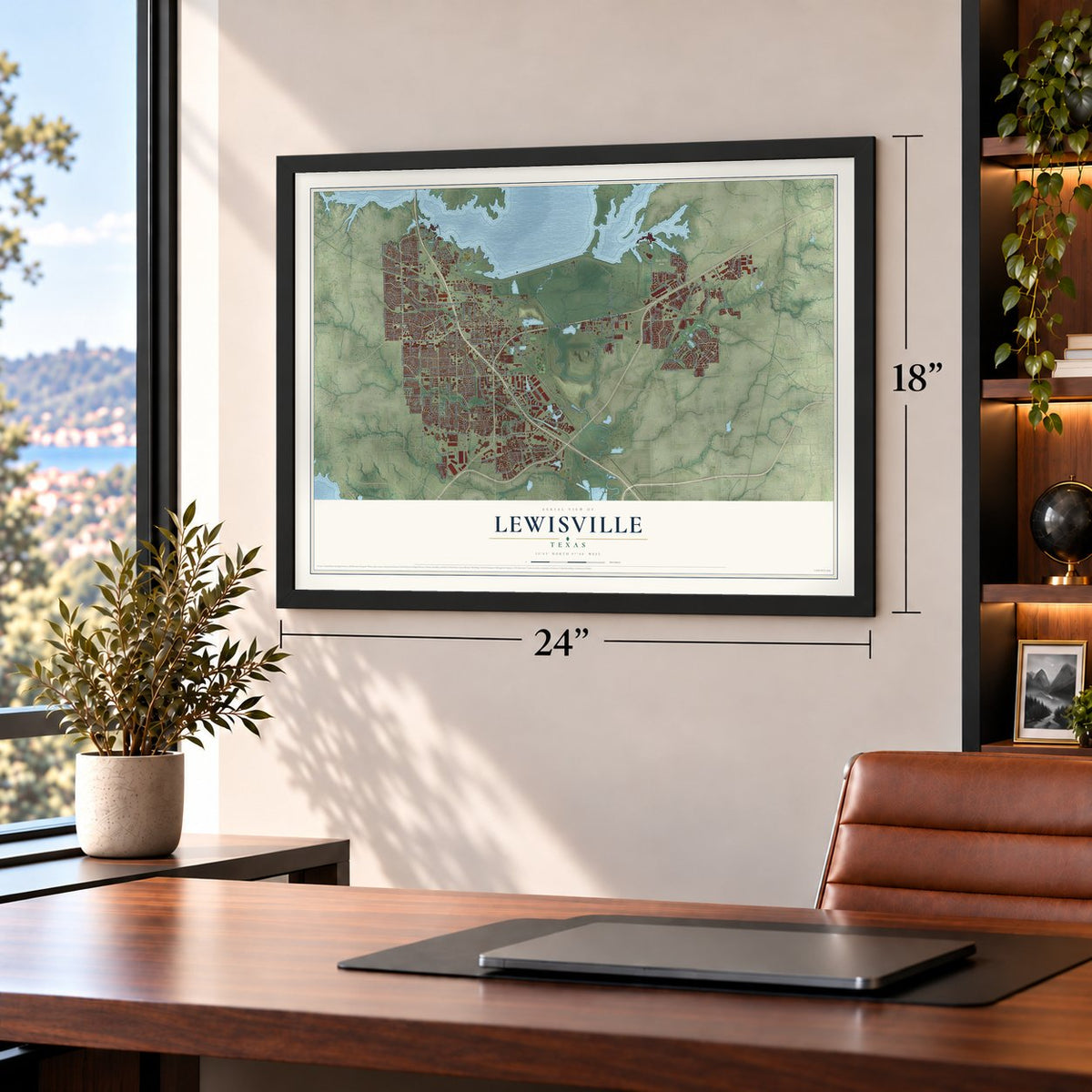
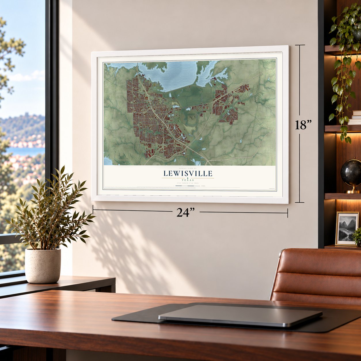
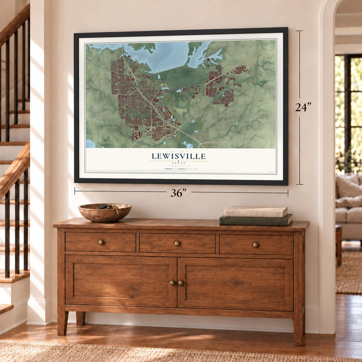
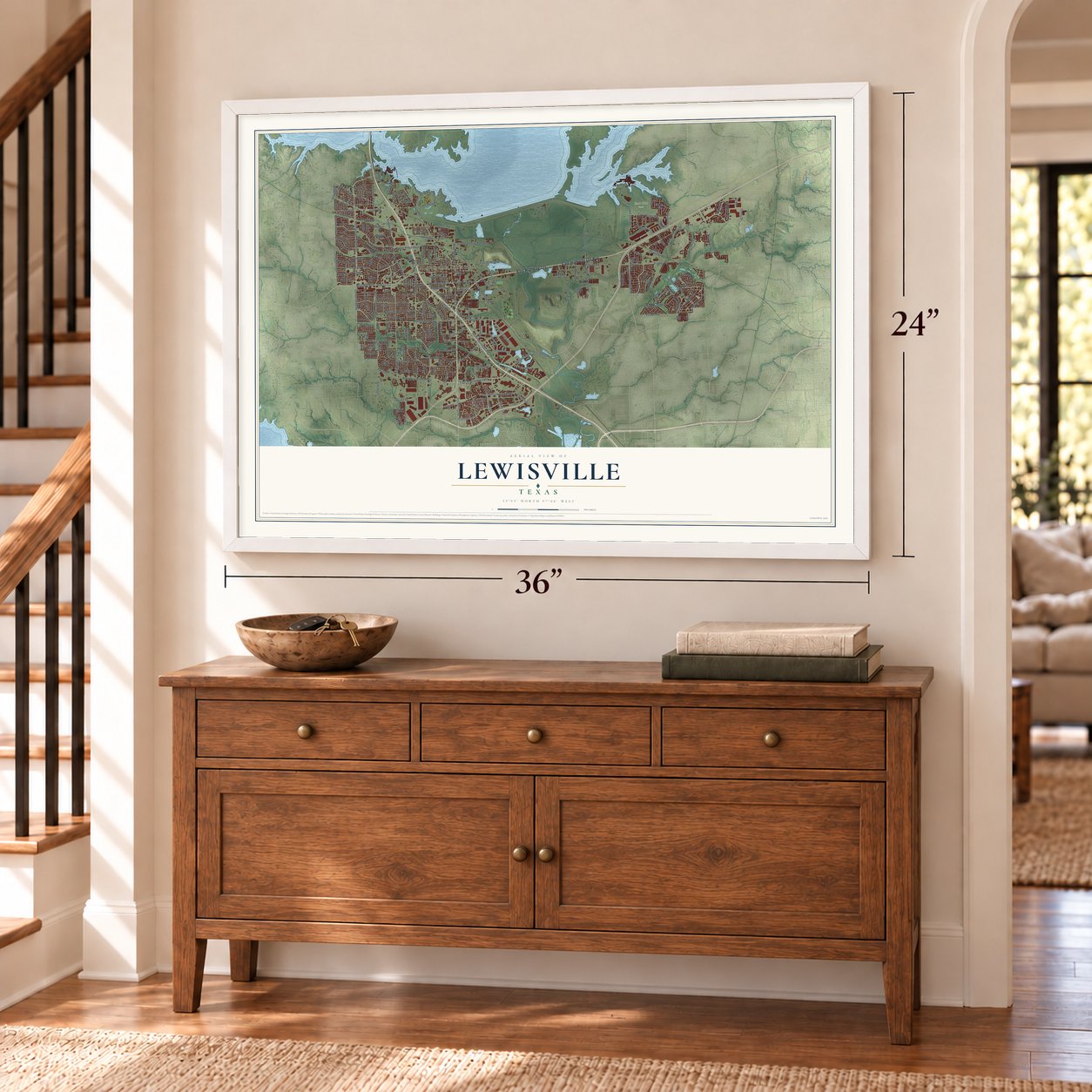
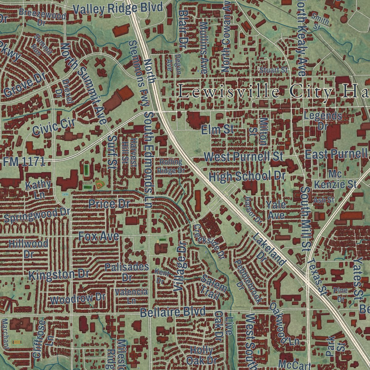
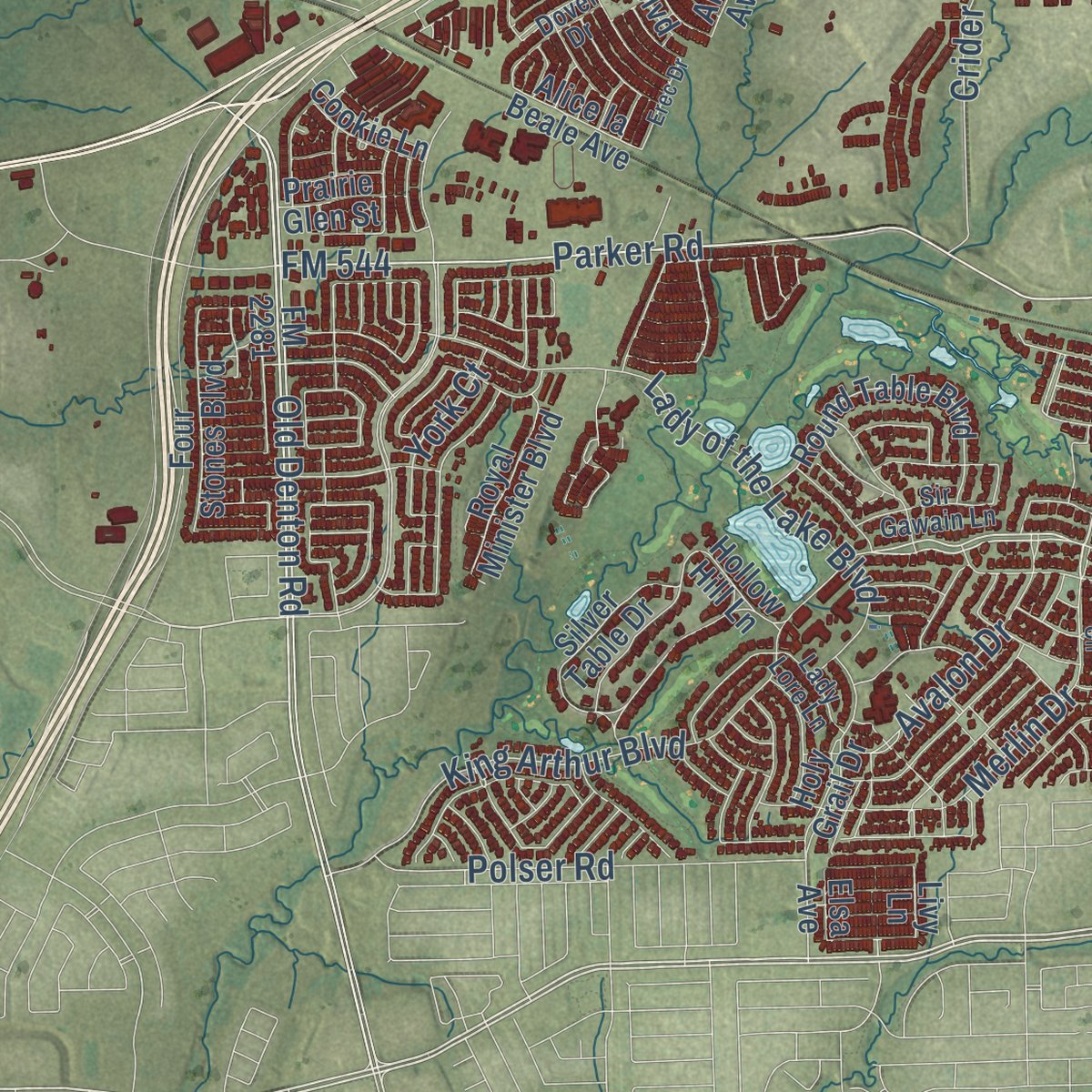
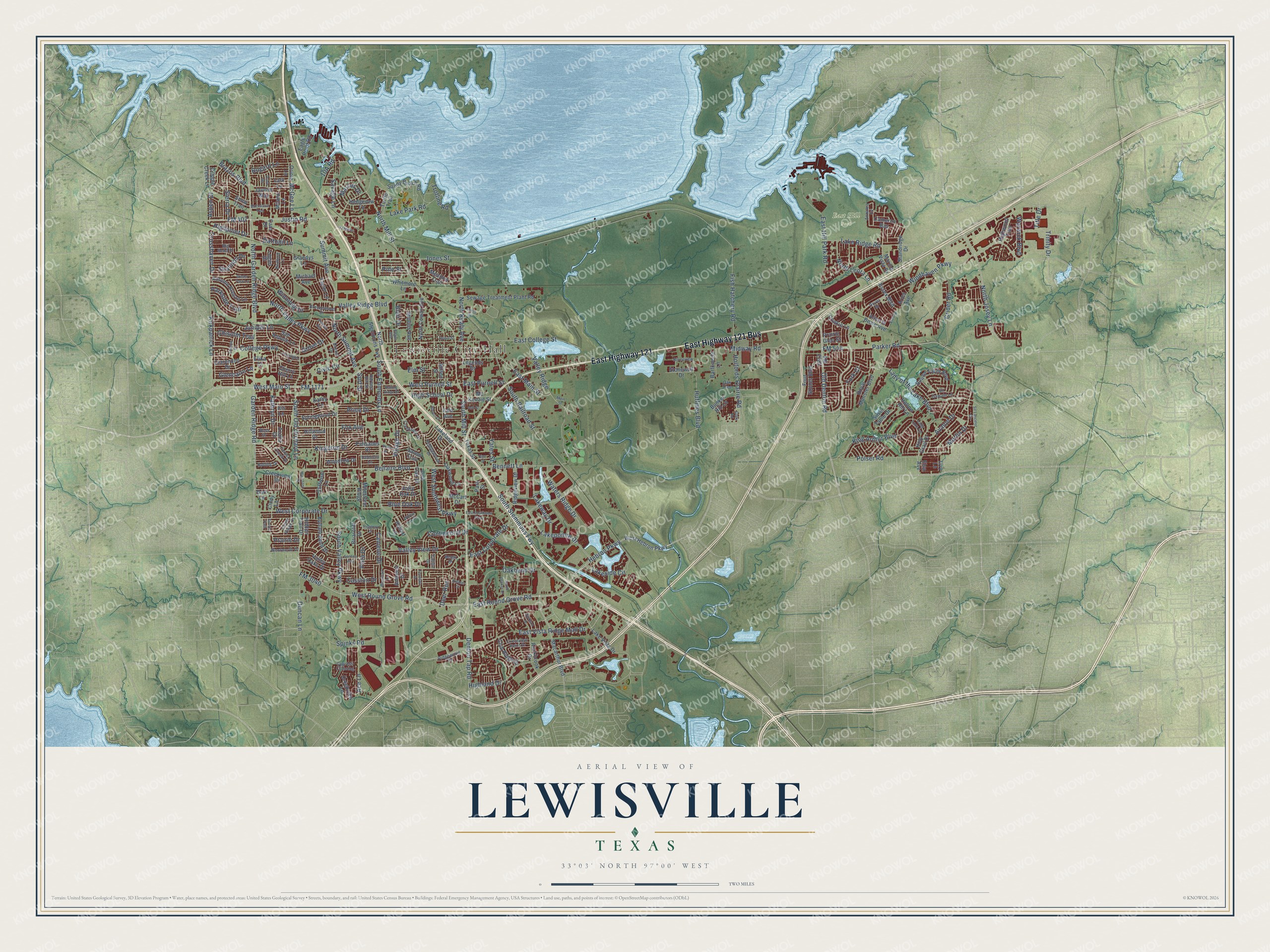
Explore Lewisville, Texas from a whole new perspective. Created using aerial imagery and detailed geographic data, this map captures Lewisville building by building, with labeled streets, familiar landmarks, and shaded topographical relief that highlights the natural contours of the landscape.
Combining modern data with the timeless character of a vintage atlas, this map is just as interesting up close as it is beautiful on the wall. Whether you grew up in Lewisville, spent memorable years there, or call it home today, this unique map is a great way to celebrate a place that means something to you. Zoom in on the preview to look for your street, and then order a print to put your memories on the wall.
Three ways to hang it
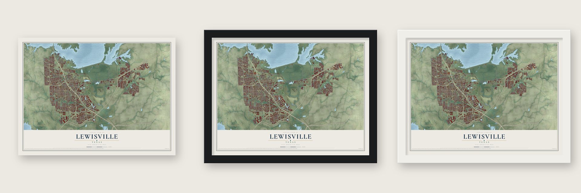
Unframed archival matte, a black wood frame or a white wood frame.
Up close
Geography Worth Displaying
This map was created using accurate cartographic data and authoritative geographic sources, including the U.S. Geological Survey and the Census Bureau. The map brings together terrain, waterways, roads, and building detail. The majority of the streets are labeled, houses are accurately depicted, and the topography is derived from government sources. Combining local data with carefully composed color and shading leads to this beautifully detailed Lewisville artwork for your wall.
Rather than simply showing street outlines, we’ve included as many of the street names as we could reasonably fit on the map while keeping their names legible. Zoom in on the high resolution preview to see exactly what’s on the map. We truly set out to create a statement piece for anyone who loves Lewisville. So whether it’s for you, or a gift for someone you love, we hope this map of Lewisville brings back fond memories.
Read the story behind this map of Lewisville, Texas from 2026.
Find your street
Names on the Lewisville map
Every name below is printed on this map. Look for your street, your school, the park where you played, or the pond down the road.
Places and landmarks2
- Lewisville City Hall
- East Hill Park
Streets and roads247
- East Highway 121
- East Highway 121 Bus
- North Garden Ridge Boulevard
- West Main Street
- FM 1171
- Jones Street
- South Stemmons Fwy
- East Vista Ridge Mall Drive
- East Round Grove Road
- North Mill Street
- FM 544
- North Josey Lane
- Old Denton Road
- Merlin Drive
- Hebron Parkway
- East Main Street
- South Mill Street
- West Round Grove Road
- West Purnell Street
- Garden Ridge Road
- South Edmonds Lane
- King Arthur Boulevard
- Brazos Boulevard
- Trinity Drive
- Windhaven Parkway
- South Valley Parkway
- FM 3040
- Valley Ridge Boulevard
- Bellaire Boulevard
- College Parkway
Show all 247 streets
- North Valley Parkway
- North Summit Avenue
- West Corporate Drive
- Justin Road
- South Railroad Street
- Fox Avenue
- FM 407
- East Corporate Drive
- Fish Hatchery Road
- Lakepointe Drive
- South Old Orchard Lane
- McGee Lane
- East Hill Park Road
- Bennett Lane
- Lake Park Road
- Huffines Boulevard
- Oakbend Drive
- East College Street
- Crider Road
- Waters Ridge Drive
- Lady of the Lake Boulevard
- Spinks Road
- Denton Tap Road
- Kirkpatrick Lane
- Juniper Lane
- North Kealy Avenue
- Parker Road
- Highland Drive
- Valley Ridge
- Midway Road
- Valley View Drive
- Holfords Prairie Road
- Lake Ridge Road
- Lakeside Circle
- Avalon Drive
- Lakeway Drive
- Polser Road
- West Southwest Parkway
- Kingston Drive
- Ace Lane
- Price Drive
- Vista Drive
- Trotline Road
- Crosshaven Drive
- Duncan Lane
- Glencairn Lane
- Camelot Drive
- North Leora Lane
- Elm Street
- Summit Avenue
- Aspen Drive
- Civic Circle
- Continental Drive
- Chisolm Trail
- Cassion Drive
- Sierra Drive
- High School Drive
- East Purnell Street
- Village Drive
- Bogard Lane
- Parkside Trail
- Highpoint Drive
- Kathryn Drive
- Savage Lane
- Warwick Boulevard
- Daffodil Lane
- Winnipeg Drive
- Deer Run
- Blue Oak Drive
- York Court
- Marcus Drive
- Shannon Drive
- Surf Street
- Prairie Drive
- Grove Drive
- Yates Street
- Pine Street
- Blair Drive
- Title Drive
- FM 2281
- West Hebron Parkway
- North Stemmons Fwy
- Macarthur Boulevard
- Lake Vista Drive
- Rockbrook Drive
- Sandy Beach Road
- North Cowan Avenue
- Sewage Treatment Plant Road
- Creekview Drive
- Standridge Drive
- San Antone Lane
- Briarcliff Drive
- Holy Grail Drive
- Round Table Boulevard
- Grandys Lane
- Buffalo Bend Drive
- Autumn Breeze Lane
- Eagle Point Road
- Marina Vista Drive
- Silver Table Drive
- Springwood Drive
- Oakwood Lane
- Valley Oaks Drive
- Creekview Lane
- Palisades Drive
- Four Stones Boulevard
- Clarendon Drive
- Royal Minister Boulevard
- Azalia Drive
- Ridgeview Drive
- Barfknecht Lane
- Cameron Bay
- Taylor Lane
- Holly Oak Drive
- Milton Street
- Club Ridge Drive
- Mullins Avenue
- Woodrow Drive
- Yale Avenue
- Bunker Hill Lane
- Milestone Ridge
- Hillwood Drive
- Turtle Trail
- Mc Kenzie Street
- Stonewall Drive
- Hidden Trail Drive
- Whitmore Lane
- Essex Boulevard
- Cindy Lane
- Javelin Way
- Hedgerow Lane
- Alice la Beale Avenue
- Highwood Trail
- Legends Drive
- Salem Trail
- Cookie Lane
- Snow Trail
- Cripple Creek Lane
- Meadow Trail
- Live Oak Drive
- Lakeland Drive
- Texas Street
- Oriole Lane
- Prairie Glen Street
- Hobart Lane
- Amherst Drive
- Cliffrose Lane
- Cherry Hill Lane
- Hollow Hill Lane
- Milano Lane
- Iris Lane
- Michael Avenue
- Logan Drive
- McCart Drive
- Lark Lane
- Bart Lane
- Park Street
- Kathy Lane
- Aries Avenue
- Elika Court
- Cain Drive
- Livy Lane
- Elsa Avenue
- Creekside Drive
- Cedar Ridge Drive
- Pebblebrook Drive
- Sir Gawain Lane
- Crestview Point Drive
- Bobing Drive
- Wentworth Drive
- Ridgewood Drive
- Annalea Cv
- Breezewood Drive
- Bedford Lane
- Big Bend Drive
- Forest Creek Drive
- Dover Drive
- Cypress Crossing
- Riverview
- Lady Lore Lane
- Harvest Hill Street
- Valencia Lane
- Ross Drive
- Caitlin Drive
- Drexel Drive
- Bexar Drive
- Oak Tree
- Main Street
- East Southwest Parkway
- Degan Avenue
- South Uecker Drive
- Moccassin Trail
- Kent Drive
- Marchant Place
- Sir Lancelot Circle
- Abilene Drive
- Winter Park Lane
- Summit Run
- Forestglen Drive
- Regency Drive
- Seneca Way
- Harbor Drive
- Willow Oak Drive
- Clary Road
- Montclair Lane
- Erec Drive
- Jackson Drive
- Rolling Ridge Drive
- Pine Drive
- Stuart Street
- Fountain Drive
- Smith Street
- Kielder Drive
- Franklin
- Robin Road
- Sunset Path
- Ash Street
Names are listed as they appear on the printed map. Zoom into the product photos to find them.
About Lewisville, Texas
Lewisville is a city of 111,822 people in Denton County, on the Elm Fork of the Trinity River. John King and his son Augustus G. brought their families here from Bonham in 1844, and John and James Hallford arrived the same year, so the land became Hallford Prairie. Settlers soon fought over land. The land company's agent, Henry Hedgcoxe, followed its rules so strictly that angry residents drove him away and destroyed his house and his papers. Willis Stewart went to Austin in 1853 and settled the claims. That same year Basdeal W. Lewis bought up the Hallford land, founded Lewisville and gave it his name, and the town got a post office.
Rawlins, Kealy and Herod built a gristmill in 1862. T. M. Clayton and George Craft had Denton County's first cotton gin running by 1867, and it could turn out three bales a day. To win a railroad, the town paid the Dallas and Wichita company $15,000 and promised $5,000 more when the line was done. Crews laid track to a point just south of town on the morning of July 1, 1875, the deadline, and trains ran full-time from 1881. Residents voted to incorporate on January 15, 1925, by a margin of 17 votes.
- Coming Out of the MudA dirt stretch through town, called the Lewisville Gap, often turned too muddy to cross. Local residents formed a Good Roads Committee to push for better streets. When U.S. Route 77 between Denton and Dallas was paved in 1931, Lewisville marked the day with a "Coming Out of the Mud" ceremony.
- A Barrow gang bank robberyRaymond Hamilton, a member of the Barrow gang, held up Lewisville's First National Bank on April 25, 1934. Residents chased him all the way to Howe, Texas, where he was caught at a roadblock and taken to the Dallas County Jail.
- Lewisville LakeThe Garza-Little Elm Dam was finished in 1954, turning the reservoir into what is now Lewisville Lake. With the lake and the new Interstate 35E, the town grew from 1,509 people in 1950 to 5,439 by 1960.
- Janis Joplin in 1969Lewisville hosted the Texas International Pop Festival in 1969, a three-day show with Janis Joplin, B. B. King and Led Zeppelin that drew 120,000 people. In 2011 the Texas Historical Commission placed a marker for it at the Hebron A-train station.
- Fox-Hembry CemeteryIn 1845 the Fox family, who held about a dozen slaves, buried an enslaved child named Melinda on their farm. The plot became the town's cemetery for Black residents. After years of neglect, local people and businesses restored it in 2011.
Keep exploring Texas
Lewisville is one of 2,049 Texas towns we've mapped. Every dot on the map is a print of its own.
The search covers every state, Texas first.
Near Lewisville
Order 2 or more town maps and save 10%. Shown in the size and finish you picked above, so they hang as a set.
- The Colony 12" x 18" / Archival Matte Print $39.99
- Hebron 12" x 18" / Archival Matte Print $39.99
- Hickory Creek 12" x 18" / Archival Matte Print $39.99
More maps nearby: Highland Village, Lakewood Village, Lake Dallas, Carrollton and Coppell.
The art of mapping a place
How This Map Was Made
Real places. Remarkable detail. Discover the layers that turn geographic data into a map of home.

The view from above
Aerial imagery reveals the character of the land: woodland, open fields, and the patterns of a place.

The shape of the land
Elevation data brings hills, valleys, and subtle changes in the landscape into view.

The details of home
Roads, waterways, and building footprints come together to make the map feel unmistakably local.

Geography becomes art
Considered color, shading, and typography bring the layers together in a map made for your wall.


Process illustrated with Mendon, Massachusetts. Aerial imagery: USDA NAIP. Terrain: USGS 3D Elevation Program. Map details and finished artwork: KNOWOL.
The Details
About This Print
Choose an archival matte print, or a black or white Ayous wood frame. The archival matte print is unframed.
Select your size and finish above to see the matching product image and price.
Materials & Craftsmanship
A contemporary map with the character of a classic atlas, printed on archival matte paper. Optional frames are made from Ayous wood.
Your printed map does not include the watermark shown in the full-map preview.
Shipping & Delivery
Free shipping within the United States. Every print is made to order in the USA.
Buying a gift? Add a note in your cart and we'll include it. We never put prices in the package.
Prints ship within 2 to 3 business days. Allow 7 to 10 days total from ordering for delivery. Timing may vary during holidays or periods of high order volume.
Read our shipping policy.
Returns and damaged prints
Each print is made to order. Change-of-mind refunds are not available after production.
If your print arrives damaged, misprinted or incorrect, contact support@knowol.com within 30 days of receiving it. Include your order number, photos and a description of the issue.
Read our full refund and replacement policy. For questions about your order, email support@knowol.com.