
Search for another town

Free U.S. delivery 7 to 10 days after you order
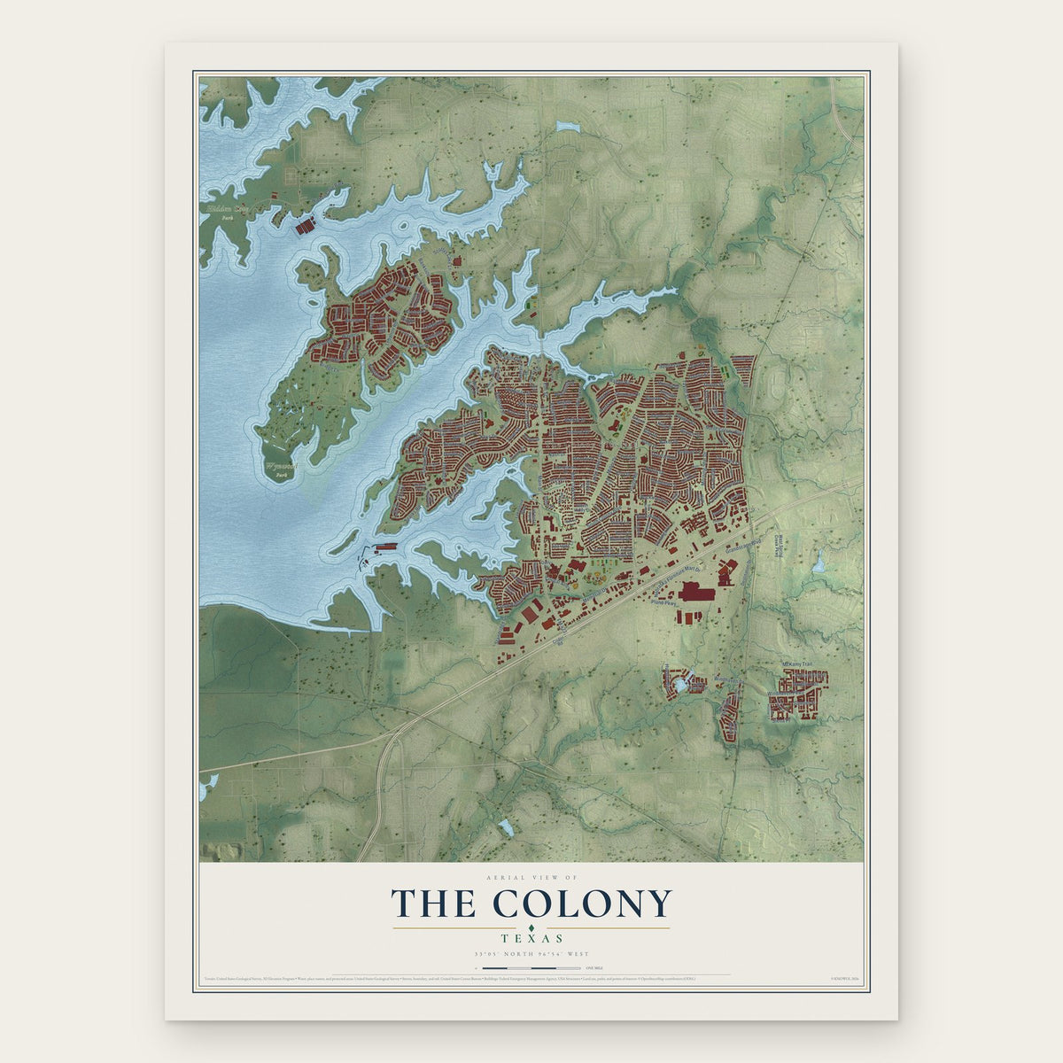
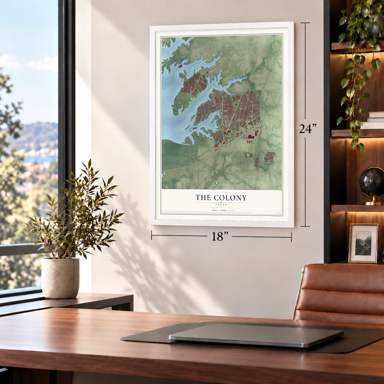
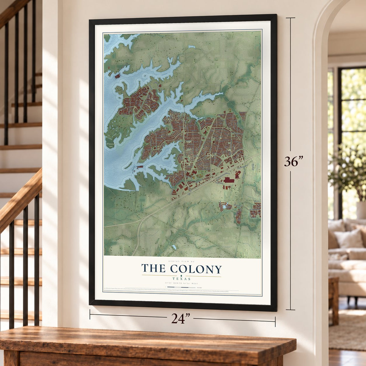
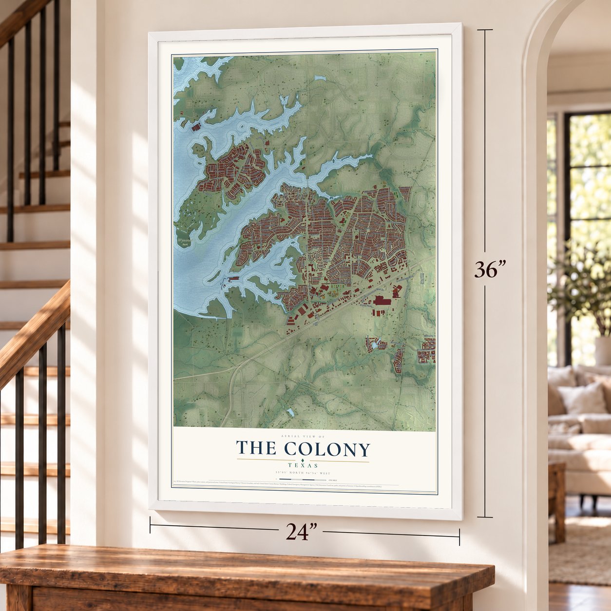
The Colony, Texas Map Art
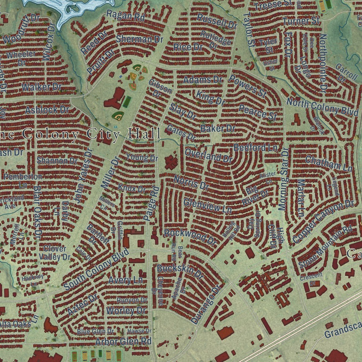
Building by building, with labeled streets and shaded relief.
12" x 18" Archival Matte Print
A Map of Home. A Work of Art.
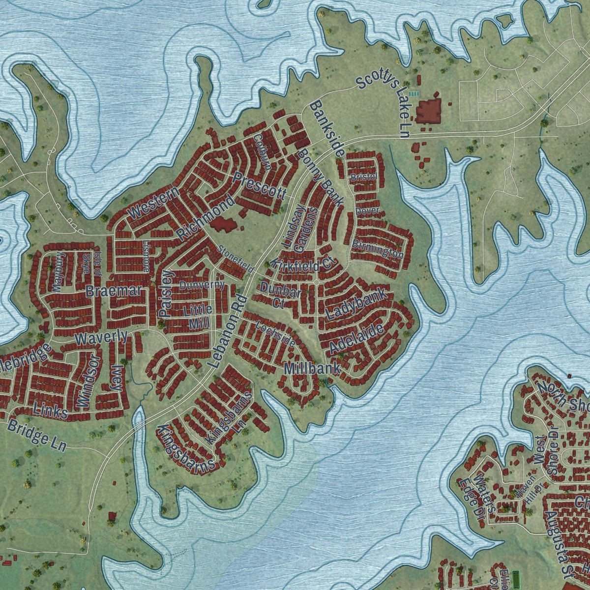
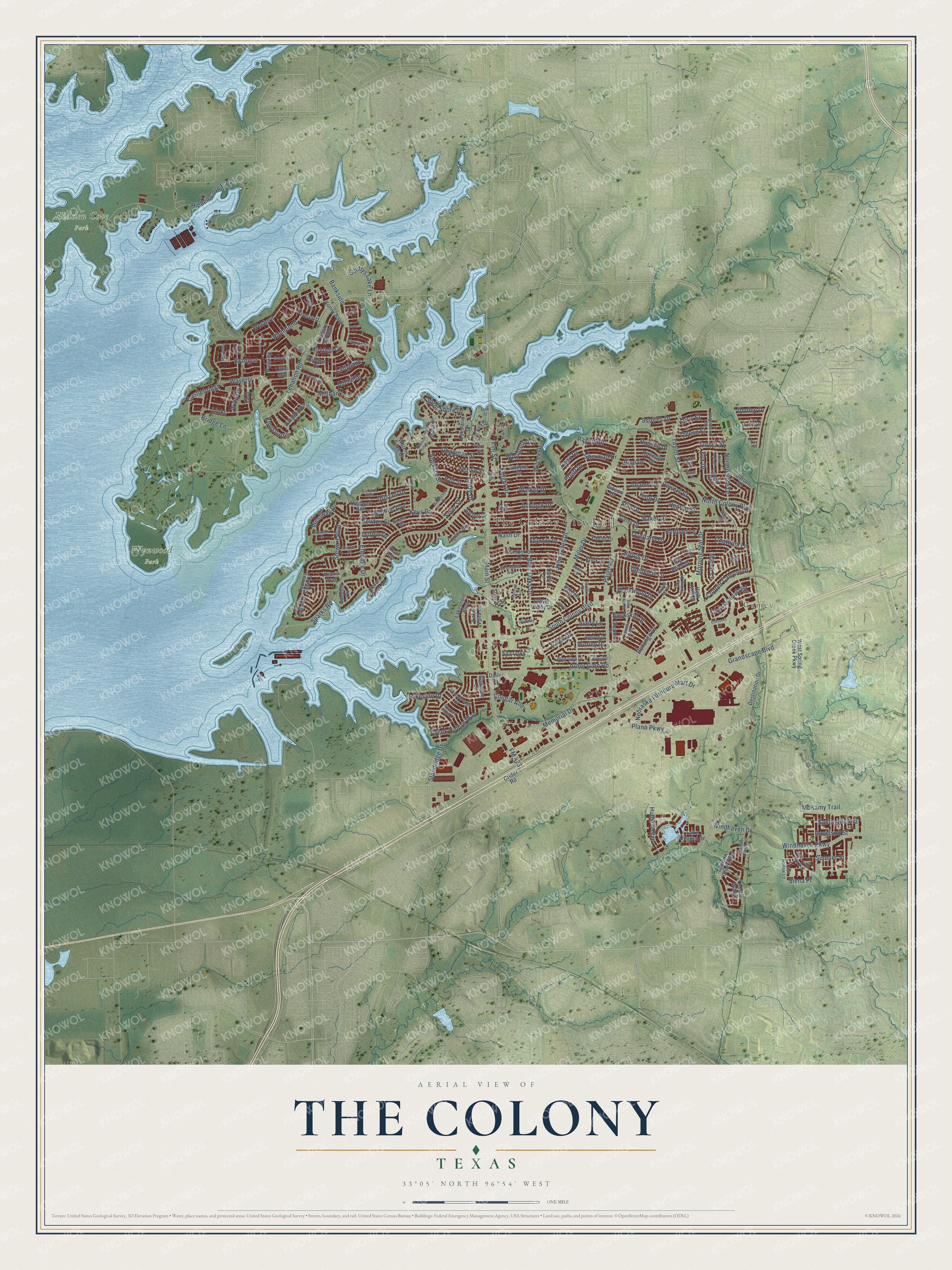
Explore The Colony, Texas from a whole new perspective. Created using aerial imagery and detailed geographic data, this map captures The Colony building by building, with labeled streets, familiar landmarks, and shaded topographical relief that highlights the natural contours of the landscape.
Combining modern data with the timeless character of a vintage atlas, this map is just as interesting up close as it is beautiful on the wall. Whether you grew up in The Colony, spent memorable years there, or call it home today, this unique map is a great way to celebrate a place that means something to you. Zoom in on the preview to look for your street, and then order a print to put your memories on the wall.
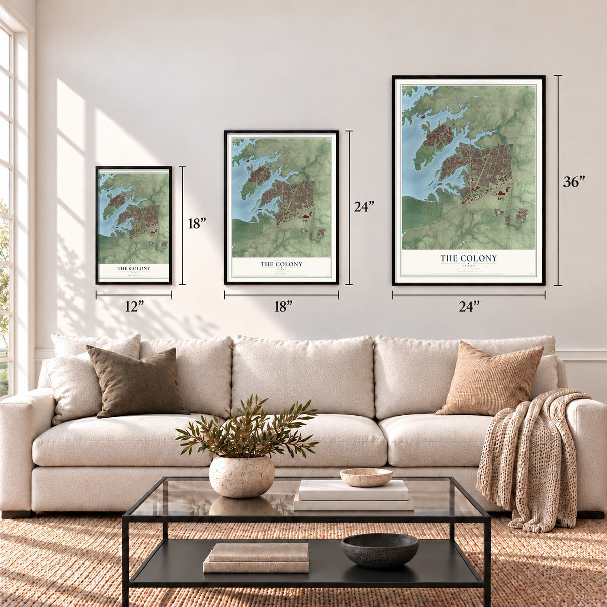
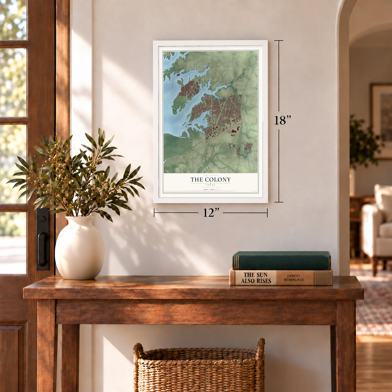
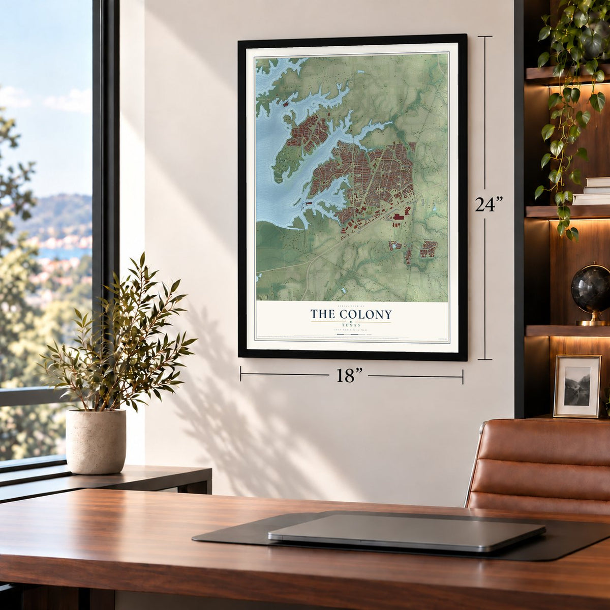
Three ways to hang it
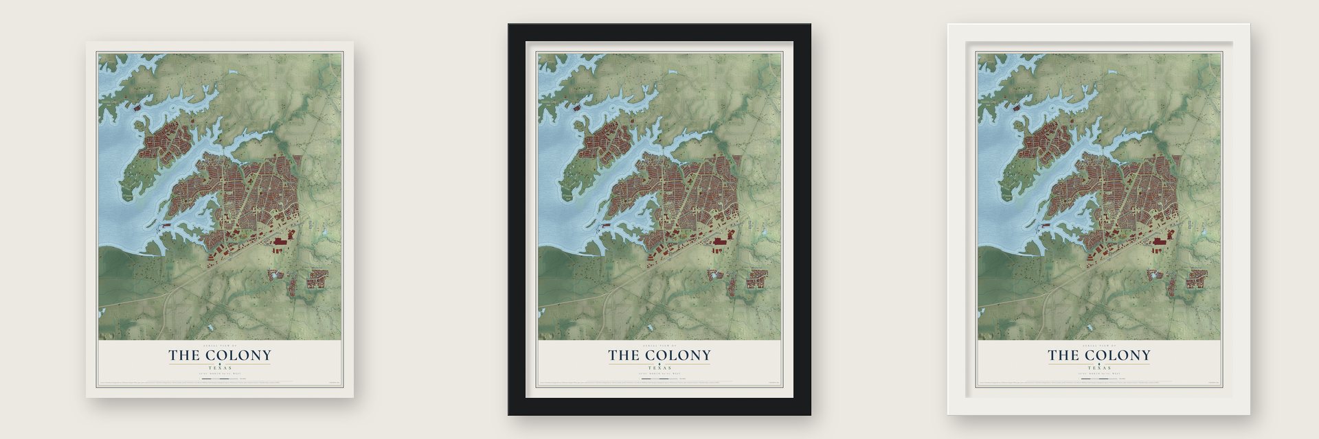
Unframed archival matte, a black wood frame or a white wood frame.
Up close
Geography Worth Displaying
This map was created using accurate cartographic data and authoritative geographic sources, including the U.S. Geological Survey and the Census Bureau. The map brings together terrain, waterways, roads, and building detail. The majority of the streets are labeled, houses are accurately depicted, and the topography is derived from government sources. Combining local data with carefully composed color and shading leads to this beautifully detailed The Colony artwork for your wall.
Rather than simply showing street outlines, we’ve included as many of the street names as we could reasonably fit on the map while keeping their names legible. Zoom in on the high resolution preview to see exactly what’s on the map. We truly set out to create a statement piece for anyone who loves The Colony. So whether it’s for you, or a gift for someone you love, we hope this map of The Colony brings back fond memories.
Read the story behind this map of The Colony, Texas from 2026.
Find your street
Names on the The Colony map
Every name below is printed on this map. Look for your street, your school, the park where you played, or the pond down the road.
Places and landmarks4
- The Colony City Hall
- Camey
- Hidden Cove Park
- Wynwood Park
Streets and roads198
- Grandscape Boulevard
- Nebraska Furniture Mart Drive
- North Shore Drive
- Lebanon Road
- North Colony Boulevard
- FM 423
- Main Street
- Memorial Drive
- Plano Parkway
- South Colony Boulevard
- Paige Road
- Windhaven Parkway
- Blair Oaks Drive
- Morning Star Drive
- Standridge Drive
- Ragan Road
- Baker Drive
- Fryer Street
- Nash Drive
- Squires Drive
- Bankside
- Western
- Castlebridge
- Stewart Boulevard
- McKamy Trail
- Miller Drive
- Arbor Glen Road
- Waverly
- Newton Street
- Norris Drive
Show all 198 streets
- Northpointe Drive
- Scottys Lake Lane
- Turner Street
- Ethridge Drive
- Richmond
- Fox Drive
- John Yates Drive
- Sparks Road
- Keys Drive
- Windhaven Drive
- Sumner Street
- Glenview Lane
- Taylor Street
- Millbank
- Avery Lane
- Aztec Drive
- Slay Drive
- Reed Drive
- Augusta Street
- Lakeside Drive
- Worley Drive
- Malone Avenue
- Sherman Drive
- Pruitt Drive
- Bridge Lane
- Adams Drive
- Chapman Street
- Links
- Ashlock Drive
- Nervin Street
- Copper Canyon Drive
- Driscoll Drive
- Creek Hollow Way
- Rice Drive
- Wilcox Drive
- Pearce Street
- Davidson Street
- Curry Drive
- Hudson Boulevard
- Braemar
- Buckskin Drive
- Powers Street
- Woodruff Drive
- Paisley
- Cougar Alley
- Prescott
- Knight Drive
- Overland Drive
- Chatham Lane
- Westway Drive
- Bedford Lane
- Ladybank
- Russell Drive
- Adelaide
- Kingsbarns
- Rockwood Drive
- Santa Cristina
- Marlar Lane
- Durango Drive
- Walker Drive
- Elm Street
- Treese Street
- Dooley Drive
- Ivey
- Terry Street
- Windsor
- Durbin Drive
- King Drive
- Siena Place
- Waters Edge Drive
- West Shore Drive
- Destination Drive
- Clover Valley Drive
- Pemberton Lane
- Big River Drive
- Barton Creek Boulevard
- Kingsbarns Lane
- Cypress Cove Drive
- Caldwell Avenue
- Longo Drive
- West Spring Creek Parkway
- Gibson Drive
- Gates Drive
- Carroll Drive
- Stone Mountain Road
- Austin Waters
- Shannon Drive
- Bonny Bank
- Lakeshore Boulevard
- Alta Oaks Lane
- Bartlett Drive
- Heron Cove Lane
- Little Mill
- Sandhill Circle
- Queen Circle
- Knox Drive
- Lindsay Gardens
- Hale Street
- Wheeler Drive
- Kirkfield Court
- Rutledge Drive
- Lake Vista Drive
- Carr Street
- Joy Drive
- Lakeland Drive
- Archer Drive
- Young Drive
- Lake District Drive
- Sutton Place
- Biscayne Drive
- Crider Road
- Dunn Drive
- Darby Lane
- Tyler Street
- High Cliff Drive
- Dunbar Court
- Acacia Trail
- Daily Drive
- Kean Circle
- Strickland Avenue
- Day Spring Drive
- Ireland Street
- Lochside
- Shadowridge Drive
- Blue Glen Drive
- Underwood Drive
- Walnut Creek Lane
- Elliot Court
- Runyon Drive
- Apache Drive
- Merrell Lane
- Anderson Drive
- Lake Park Drive
- Cheyenne Drive
- Dunverny
- Ballard Trail
- Griffin Drive
- Colburn
- Spring Hollow Lane
- Birmington
- Toad Hollow Lane
- Maybury
- Witt Drive
- Forrest
- Oak Street
- Fay Circle
- Stonefield
- Legend Lane
- Rolling Hill Road
- Harbor Drive
- Hackney Lane
- West Arbor Hills Way
- Isle of Skye
- Alister Lane
- Crooked Ridge Drive
- Hawse Drive
- Blalock Drive
- Bear Run Road
- Windward Drive
- Dee Cole Drive
- Crescent Drive
- Usher Street
- Haven Hill Drive
- Lismore
- Millers Circle
- Bristol
- Cole Drive
- Dover
Names are listed as they appear on the printed map. Zoom into the product photos to find them.
About The Colony, Texas
The Colony is a city of 44,534 people in Denton County, beside Lewisville Lake and north of Dallas. Its name reaches back to Peters Colony, which the Texas Emigration & Land Co. organized under an 1841 Republic of Texas law and which recruited about 1,800 families and single men as settlers. The colony's headquarters stood at Stewartsville, inside today's city limits, and eight Peters Colonists received land grants on ground that is now part of the city.
The modern city is much younger. In 1973 the home builders Fox and Jacobs bought 3,000 acres near State Highway 121 and near Farm to Market Road 423, and they planned a "dream city" of single-family homes. The first model homes were finished in 1974, and the first families moved in that October. The development left Frisco's extraterritorial jurisdiction and incorporated in January 1977, the city council ratified the name that May, and The Colony became a home rule city in 1979.
“The name The Colony was chosen because F&J felt a strong sense of kinship with Texas’ early developers and also to memorialize the spirit of Peters Colony providing a new way of life - a goal Fox and Jacobs wanted their new development to share, as well.”
- Denton County's oldest settlementBridges Settlement, founded in the years of the Republic of Texas, is the oldest community in Denton County, and it lies within The Colony. Its burial ground, Bridges Cemetery, began in 1857 on land the Bridges family owned. The cemetery gates open to the public only on certain dates.
- City by the LakeAbout 23 miles of Lewisville Lake shoreline, including two peninsulas, fall inside the city limits, which gave The Colony its nickname. The city grew along that water in 1987, when its voters chose to merge with Eastvale, a small lakeside community.
- Geography Bee champion, 2009In May 2009 Eric Yang, a Griffin Middle School student who lived in The Colony, won the National Geographic Bee. He beat 54 other state champions and took home a scholarship and travel package worth more than $25,000.
Keep exploring Texas
The Colony is one of 2,049 Texas towns we've mapped. Every dot on the map is a print of its own.
The search covers every state, Texas first.
Near The Colony
Order 2 or more town maps and save 10%. Shown in the size and finish you picked above, so they hang as a set.
- Hebron 12" x 18" / Archival Matte Print $39.99
- Hackberry 12" x 18" / Archival Matte Print $39.99
- Lewisville 12" x 18" / Archival Matte Print $39.99
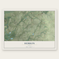
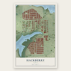
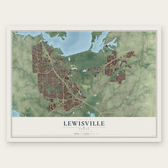
More maps nearby: Lakewood Village, Frisco, Carrollton, Little Elm and Lake Dallas.
The art of mapping a place
How This Map Was Made
Real places. Remarkable detail. Discover the layers that turn geographic data into a map of home.

The view from above
Aerial imagery reveals the character of the land: woodland, open fields, and the patterns of a place.

The shape of the land
Elevation data brings hills, valleys, and subtle changes in the landscape into view.

The details of home
Roads, waterways, and building footprints come together to make the map feel unmistakably local.

Geography becomes art
Considered color, shading, and typography bring the layers together in a map made for your wall.


Process illustrated with Mendon, Massachusetts. Aerial imagery: USDA NAIP. Terrain: USGS 3D Elevation Program. Map details and finished artwork: KNOWOL.
The Details
About This Print
Choose an archival matte print, or a black or white Ayous wood frame. The archival matte print is unframed.
Select your size and finish above to see the matching product image and price.
Materials & Craftsmanship
A contemporary map with the character of a classic atlas, printed on archival matte paper. Optional frames are made from Ayous wood.
Your printed map does not include the watermark shown in the full-map preview.
Shipping & Delivery
Free shipping within the United States. Every print is made to order in the USA.
Buying a gift? Add a note in your cart and we'll include it. We never put prices in the package.
Prints ship within 2 to 3 business days. Allow 7 to 10 days total from ordering for delivery. Timing may vary during holidays or periods of high order volume.
Read our shipping policy.
Returns and damaged prints
Each print is made to order. Change-of-mind refunds are not available after production.
If your print arrives damaged, misprinted or incorrect, contact support@knowol.com within 30 days of receiving it. Include your order number, photos and a description of the issue.
Read our full refund and replacement policy. For questions about your order, email support@knowol.com.