
Search for another town
Free U.S. delivery 7 to 10 days after you order
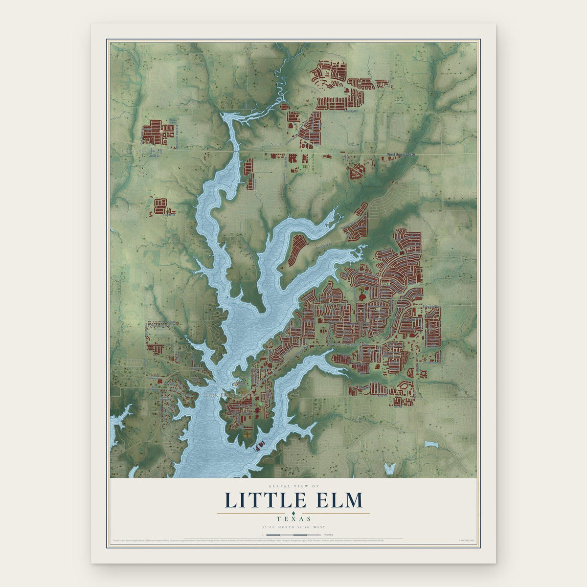
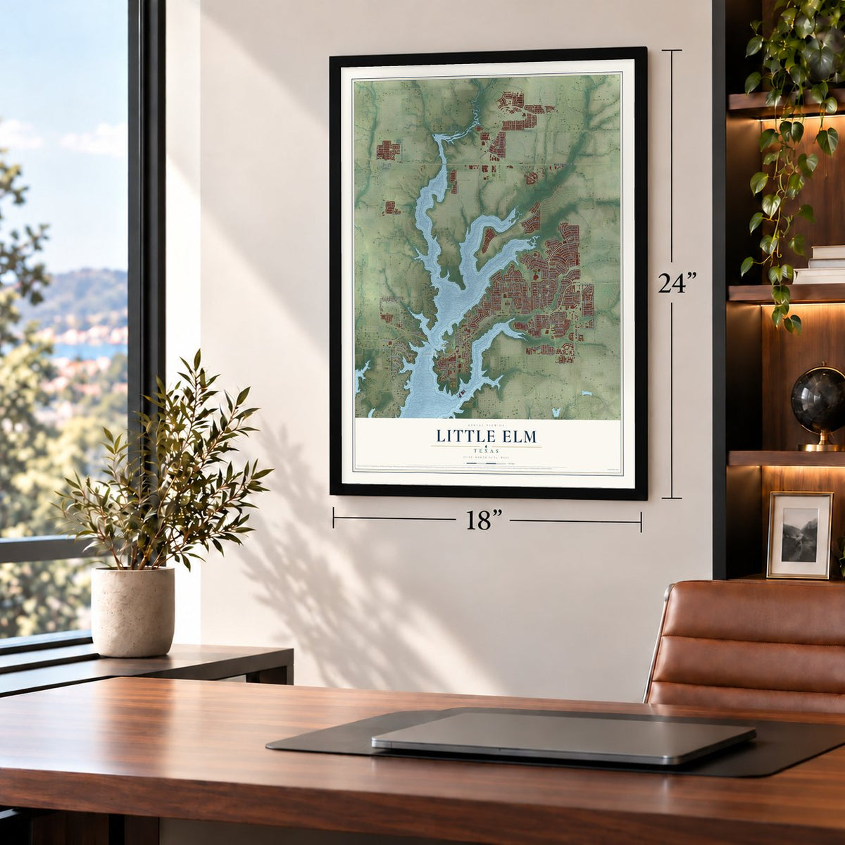
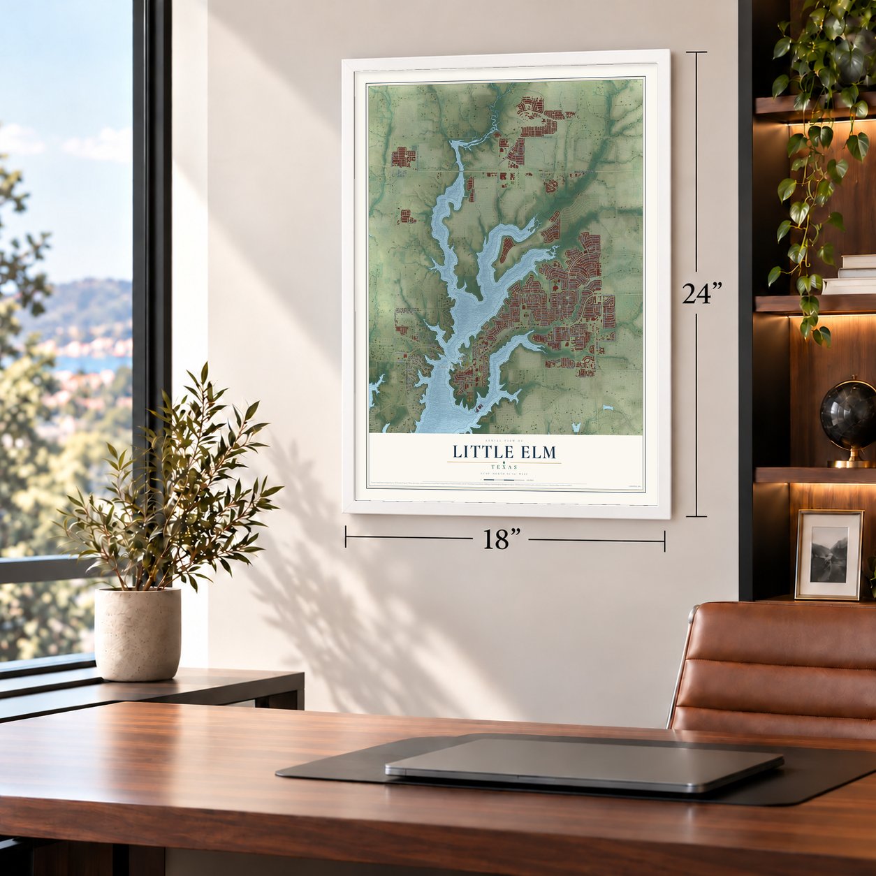
Little Elm, Texas Map Art
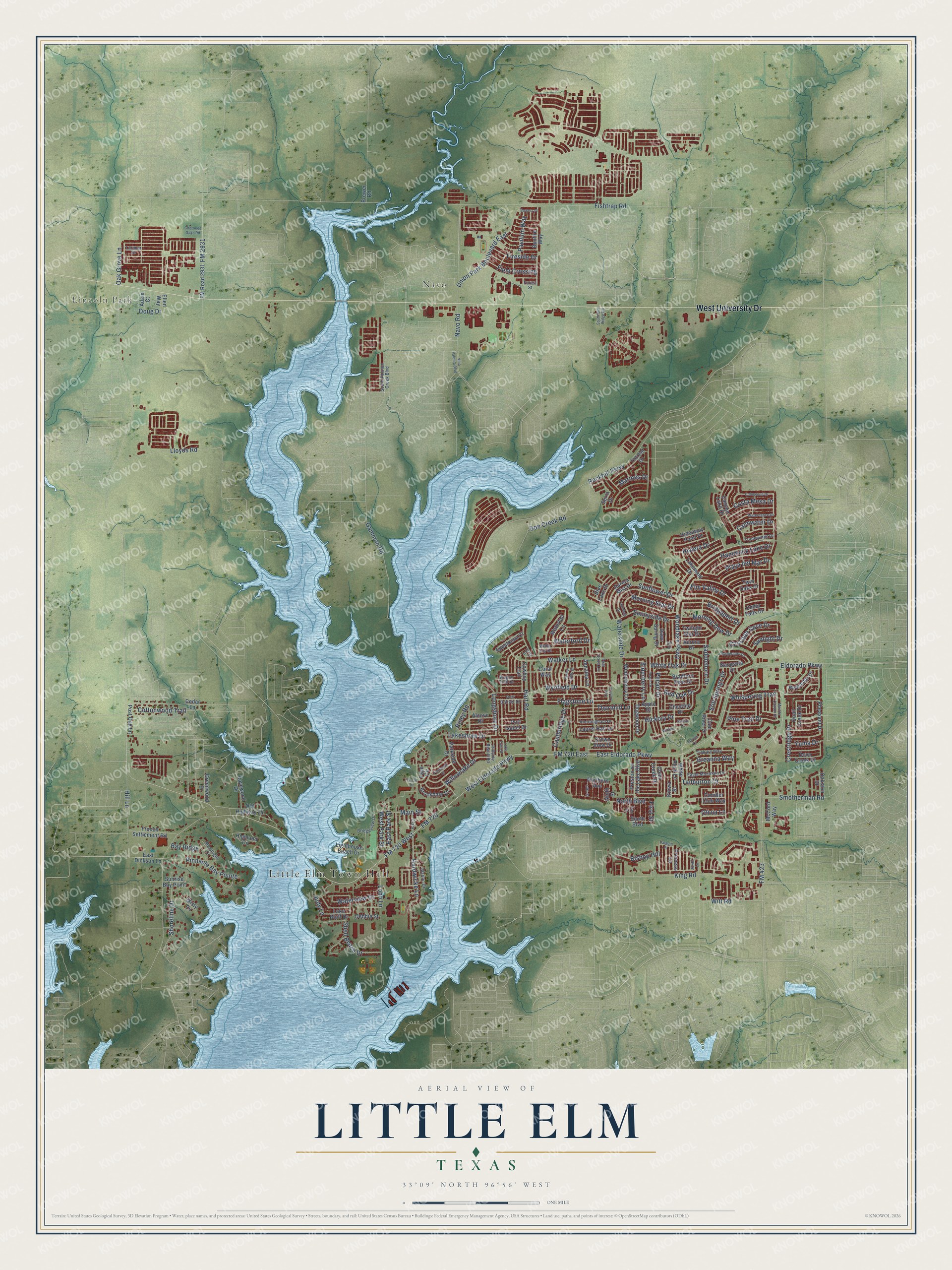
Building by building, with labeled streets and shaded relief.
12" x 18" Archival Matte Print
A Map of Home. A Work of Art.
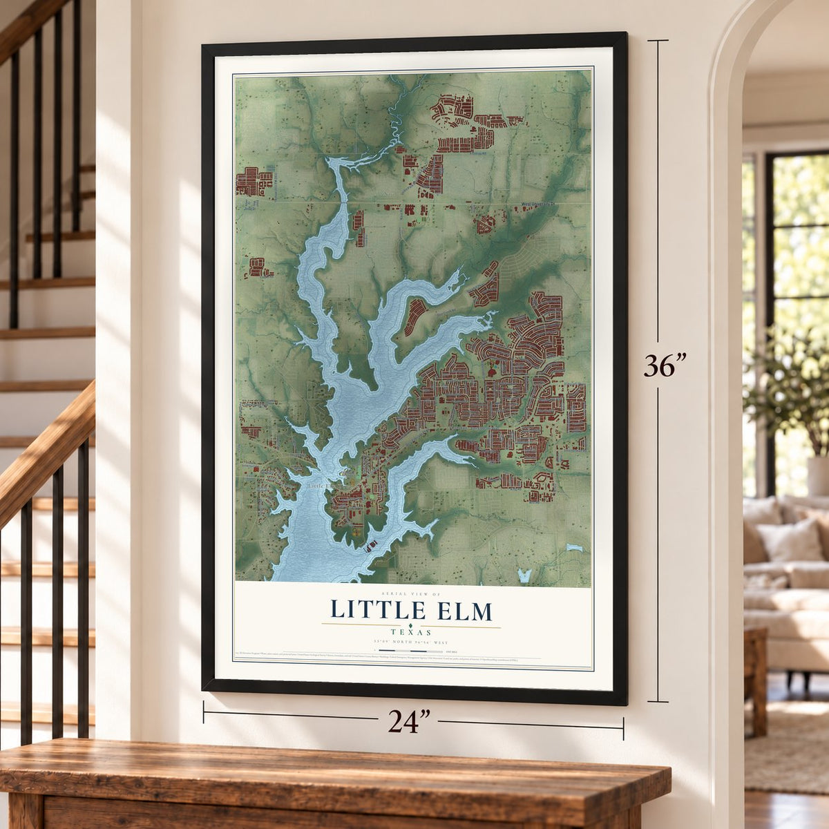
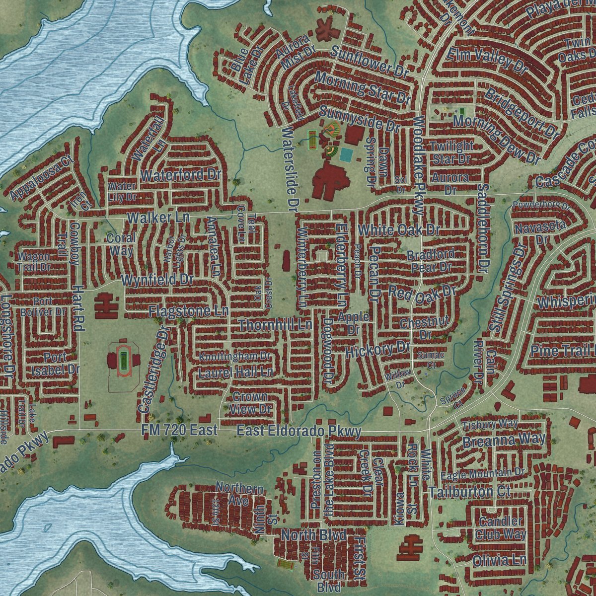
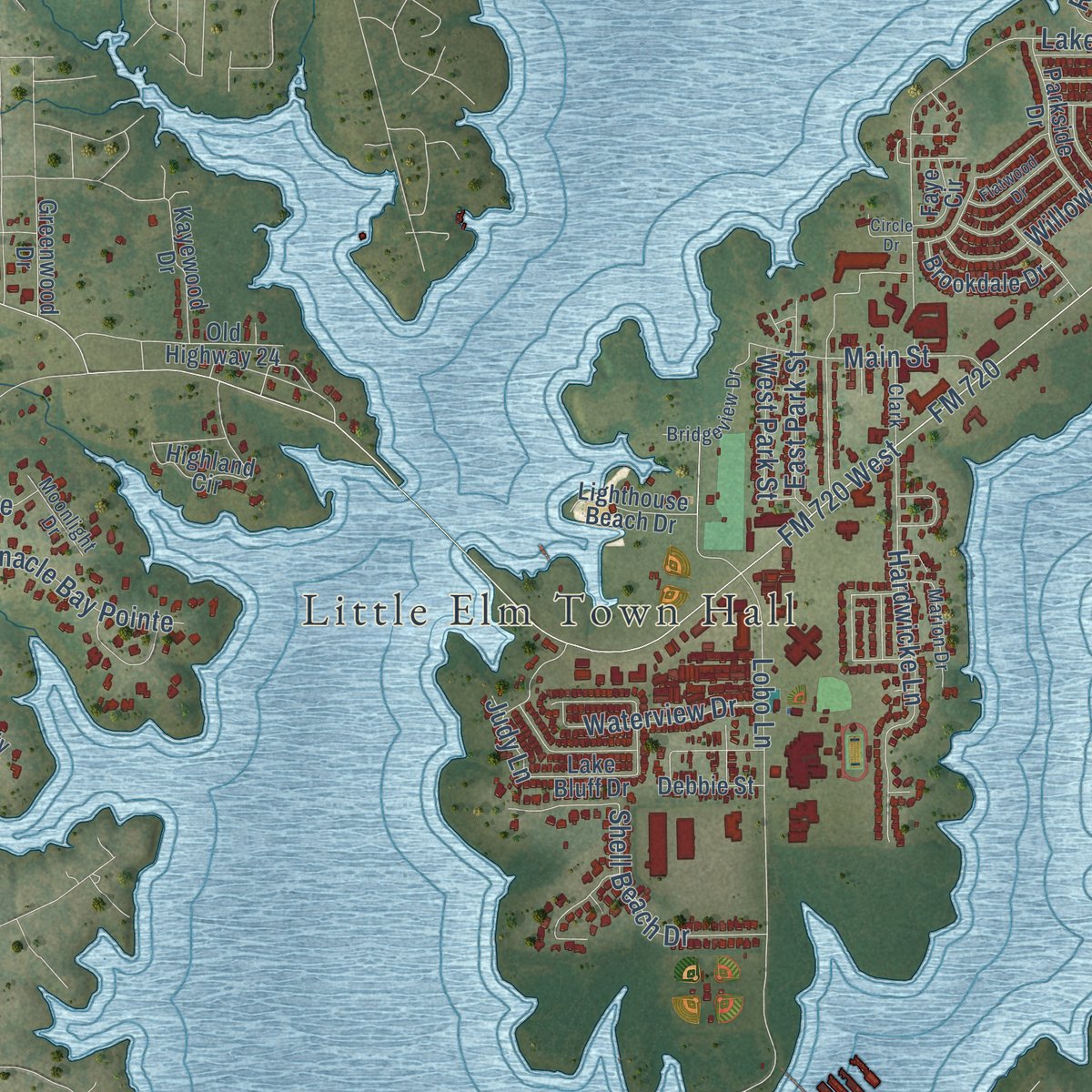
Explore Little Elm, Texas from a whole new perspective. Created using aerial imagery and detailed geographic data, this map captures Little Elm building by building, with labeled streets, familiar landmarks, and shaded topographical relief that highlights the natural contours of the landscape.
Combining modern data with the timeless character of a vintage atlas, this map is just as interesting up close as it is beautiful on the wall. Whether you grew up in Little Elm, spent memorable years there, or call it home today, this unique map is a great way to celebrate a place that means something to you. Zoom in on the preview to look for your street, and then order a print to put your memories on the wall.
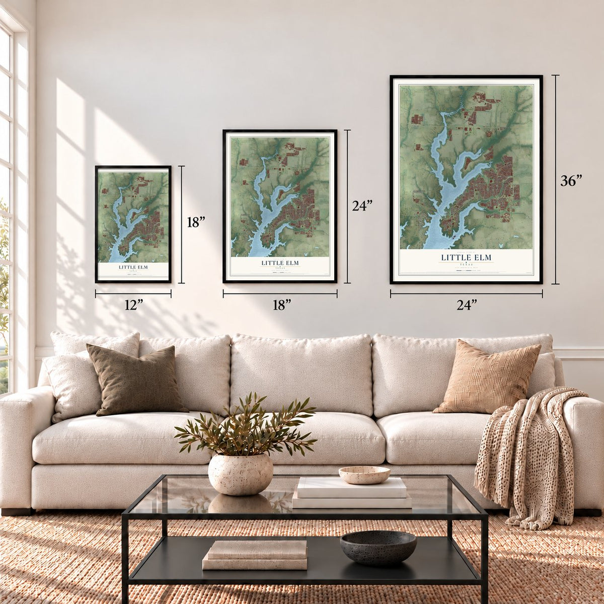
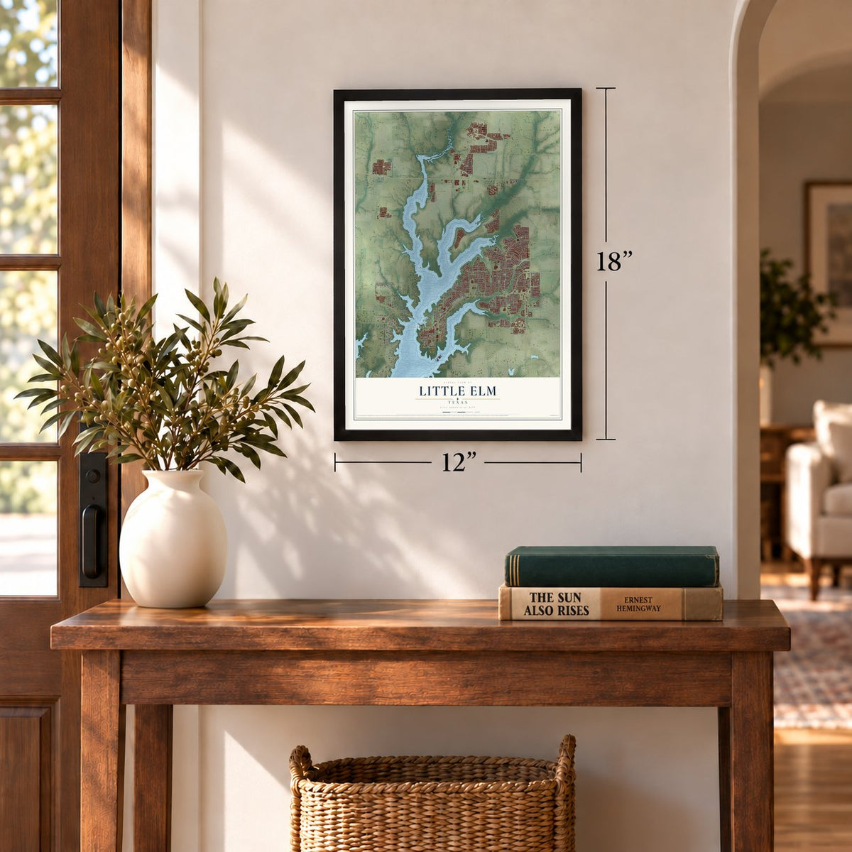
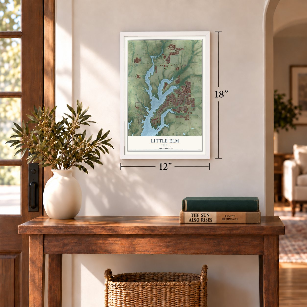
Three ways to hang it
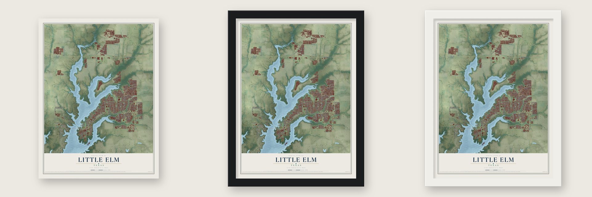
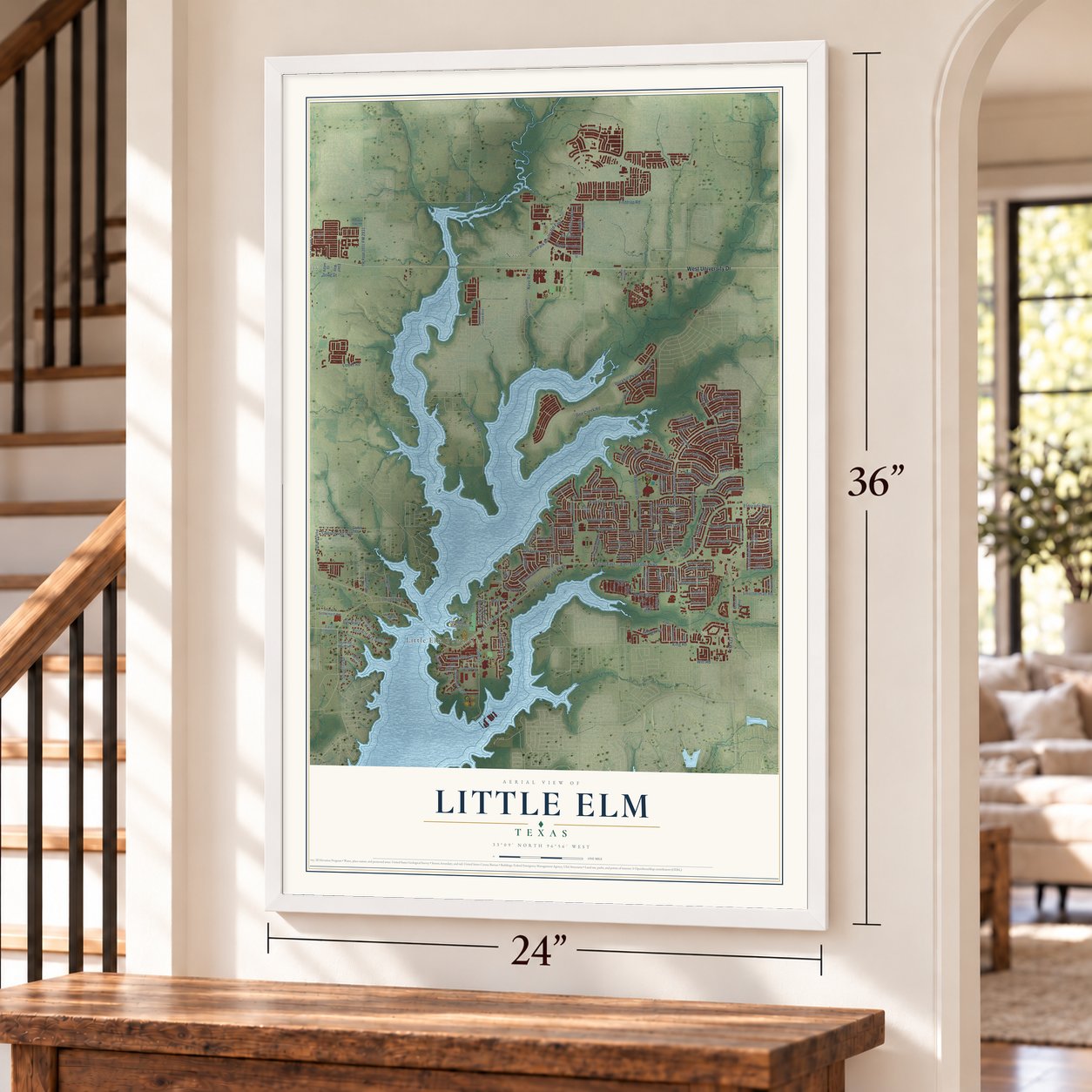
Unframed archival matte, a black wood frame or a white wood frame.
Up close
Geography Worth Displaying
This map was created using accurate cartographic data and authoritative geographic sources, including the U.S. Geological Survey and the Census Bureau. The map brings together terrain, waterways, roads, and building detail. The majority of the streets are labeled, houses are accurately depicted, and the topography is derived from government sources. Combining local data with carefully composed color and shading leads to this beautifully detailed Little Elm artwork for your wall.
Rather than simply showing street outlines, we’ve included as many of the street names as we could reasonably fit on the map while keeping their names legible. Zoom in on the high resolution preview to see exactly what’s on the map. We truly set out to create a statement piece for anyone who loves Little Elm. So whether it’s for you, or a gift for someone you love, we hope this map of Little Elm brings back fond memories.
Read the story behind this map of Little Elm, Texas from 2026.

Find your street
Names on the Little Elm map
Every name below is printed on this map. Look for your street, your school, the park where you played, or the pond down the road.
Places and landmarks3
- Little Elm Town Hall
- Lincoln Park
- Navo
Streets and roads185
- West University Drive
- Woodlake Parkway
- Calmwater Drive
- Witt Road
- Riviera Drive
- Flagstone Lane
- Navo Road
- Cascade Cove Drive
- FM 720
- FM 423
- West Eldorado Parkway
- FM 720 West
- Doe Creek Road
- Eldorado Parkway
- Fishtrap Road
- Rockhill Parkway
- FM 720 East
- Walker Lane
- Sunflower Drive
- Lobo Lane
- King Road
- Gammon Road
- Lakeshore Drive
- East Eldorado Parkway
- Wynfield Drive
- Lloyds Road
- Union Park Boulevard East
- Hardwicke Lane
- Pecan Drive
- Hart Road
Show all 185 streets
- Shell Beach Drive
- Hill Lane
- Hammock Lake Drive
- Shoreline Drive
- Cottonwood Trail
- Pinnacle Bay Pointe
- Willowlake Drive
- Main Street
- FM 2931
- North Boulevard
- Sunnyside Drive
- Morning Star Drive
- Whispering Trail
- Bridgeport Drive
- Smotherman Road
- Red Oak Drive
- Oak Grove Lane
- Longshore Drive
- Pine Trail Drive
- Playa del Mar Drive
- Morning Dew Drive
- Waterview Drive
- East Park Street
- Breanna Way
- Hickory Drive
- Field Crossing
- Elm Valley Drive
- Thornhill Lane
- Tailburton Court
- Costa Mesa Drive
- Waterford Drive
- White Oak Drive
- Still Springs Drive
- Fireside Drive
- Castleridge Drive
- Saddlehorn Drive
- Pavilion Way
- Bishop Hill
- Crestridge Drive
- Riney Road
- Waterslide Drive
- Elderberry Lane
- West Park Street
- Bay Ridge
- Sunlight Drive
- Marines Drive
- Olivia Lane
- Yuma Drive
- First Street
- Doug Drive
- Judy Lane
- East Dickson Lane
- Redcedar Drive
- Dogwood Drive
- Canyon Lake Drive
- Bradford Pear Drive
- Cedar Lane
- FM Road 2931
- Old Highway 24
- Highland Circle
- French Settlement Road
- Chestnut Drive
- Aurora Mist Drive
- Torrent Drive
- Waterfall Lane
- Preston on the Lake Boulevard
- Candler Club Way
- Parkside Drive
- South Boulevard
- Winterberry Lane
- Brookdale Drive
- White Rock Lane
- Crown View Drive
- Laurel Hall Lane
- Kayewood Drive
- Clear Creek Drive
- Appaloosa Court
- Lakemont Drive
- Pheasant Drive
- Hideaway Point Drive
- Lighthouse Beach Drive
- Sunrise Bay Point
- Navasota Drive
- Cowboy Trail
- Twilight Star Drive
- Dove Creek Drive
- Post Oak Lane
- Quail Creek Drive
- Annalea Lane
- Dawn Spring Drive
- Blue Lake Drive
- Northern Avenue
- Greenwood Drive
- Twin Oaks Drive
- Misty Cv
- Lake Bluff Drive
- Alcove Drive
- Debbie Street
- Coral Way
- Oakston Drive
- Princess Lane
- Port Isabel Drive
- McCord Way
- Aurora Drive
- Kiowa Street
- Ellen Way
- Faye Circle
- Cain River Drive
- Bonfire Way
- Cedar Falls Drive
- Apple Drive
- Adam Court
- Serra Drive
- Brewer Road
- Ninth Street
- Forest Street
- Hillside Beach Road
- Water Lily Drive
- Tisbury Way
- Eagle Mountain Drive
- Bridgeview Drive
- Knottingham Drive
- Marion Drive
- Port Boliver Drive
- South Paloma Creek Boulevard
- Tradewinds Drive
- Wagon Trail Drive
- Moonlight Drive
- Clark
- Teal Cove Lane
- Larimar Drive
- Iron Court
- Lakefield Drive
- Villa Paloma Boulevard
- Calmwood Drive
- Waterdance Drive
- Harbor Lights Drive
- Peach Drive
- Powderhorn Drive
- Lake Trail Drive
- Marble Canyon Drive
- Flatwood Drive
- Spruce Court
- Bowery Place
- South Elm Ridge Road
- Cherokee Oaks Road
- Circle Drive
- 13th Street
- Fifth Street
- Oak Crest Drive
- Sumac Court
- Sol Drive
- Paladin Place
- Willow Drive
- Jewel Lane
Names are listed as they appear on the printed map. Zoom into the product photos to find them.
About Little Elm, Texas
Little Elm is a city of 46,453 people in Denton County, on the north and east shores of Lewisville Lake. Kit King founded the community in 1844 beside Little Elm Creek and named it for the creek's banks. In 1852 King became postmaster of Denton County's first post office, which he ran out of his own house, and the stagecoach running from Preston Bend to Bird's Fort passed through King's Crossing.
For about a century the town stayed small. It had 194 people in 1900, then 200 people and five businesses in the 1950s. New county roads later made Denton and Dallas easier to reach, and the town sat close to Lewisville Lake, so it reported 300 residents in 1966 and had incorporated by 1976. The 2000 census counted 3,646 people, and by 2010 the count had jumped to 25,898, one of the fastest growth rates in Texas.
- Hilltown in 1866Little Elm's first store opened in 1859. In 1866 Henry Hill opened another store a mile east of today's town, and the post office moved over to his store and took the name Hilltown.
- Home rule in 2001Little Elm became a home rule town in 2001. It runs on a council-manager government, with a mayor and five council members. In June 2021 voters chose Curtis Cornelious, who had been the at-large council member, as the town's first African American mayor. In 2025 the town elected its first Hispanic council member, Idalia Maria Amaya.
- A 7,500-seat stadiumLittle Elm ISD finished its stadium at Hart Road and Eldorado Parkway in 2006, with seats for 7,500 fans. The district means to stay a one-high-school town, even though two new middle schools opened for the school year that began in 2020.
Keep exploring Texas
Little Elm is one of 2,049 Texas towns we've mapped. Every dot on the map is a print of its own.
The search covers every state, Texas first.
Near Little Elm
Order 2 or more town maps and save 10%. Shown in the size and finish you picked above, so they hang as a set.
- Paloma Creek South 12" x 18" / Archival Matte Print $39.99
- Savannah 12" x 18" / Archival Matte Print $39.99
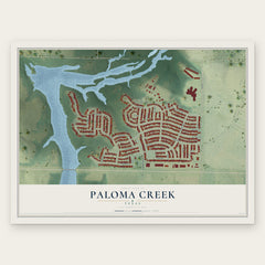
- Paloma Creek 12" x 18" / Archival Matte Print $39.99


More maps nearby: Hackberry, Providence Village, Oak Point, Cross Roads and Lakewood Village.
The art of mapping a place
How This Map Was Made
Real places. Remarkable detail. Discover the layers that turn geographic data into a map of home.

The view from above
Aerial imagery reveals the character of the land: woodland, open fields, and the patterns of a place.

The shape of the land
Elevation data brings hills, valleys, and subtle changes in the landscape into view.

The details of home
Roads, waterways, and building footprints come together to make the map feel unmistakably local.

Geography becomes art
Considered color, shading, and typography bring the layers together in a map made for your wall.


Process illustrated with Mendon, Massachusetts. Aerial imagery: USDA NAIP. Terrain: USGS 3D Elevation Program. Map details and finished artwork: KNOWOL.
The Details
About This Print
Choose an archival matte print, or a black or white Ayous wood frame. The archival matte print is unframed.
Select your size and finish above to see the matching product image and price.
Materials & Craftsmanship
A contemporary map with the character of a classic atlas, printed on archival matte paper. Optional frames are made from Ayous wood.
Your printed map does not include the watermark shown in the full-map preview.
Shipping & Delivery
Free shipping within the United States. Every print is made to order in the USA.
Buying a gift? Add a note in your cart and we'll include it. We never put prices in the package.
Prints ship within 2 to 3 business days. Allow 7 to 10 days total from ordering for delivery. Timing may vary during holidays or periods of high order volume.
Read our shipping policy.
Returns and damaged prints
Each print is made to order. Change-of-mind refunds are not available after production.
If your print arrives damaged, misprinted or incorrect, contact support@knowol.com within 30 days of receiving it. Include your order number, photos and a description of the issue.
Read our full refund and replacement policy. For questions about your order, email support@knowol.com.