
Search for another town

Free U.S. delivery 7 to 10 days after you order
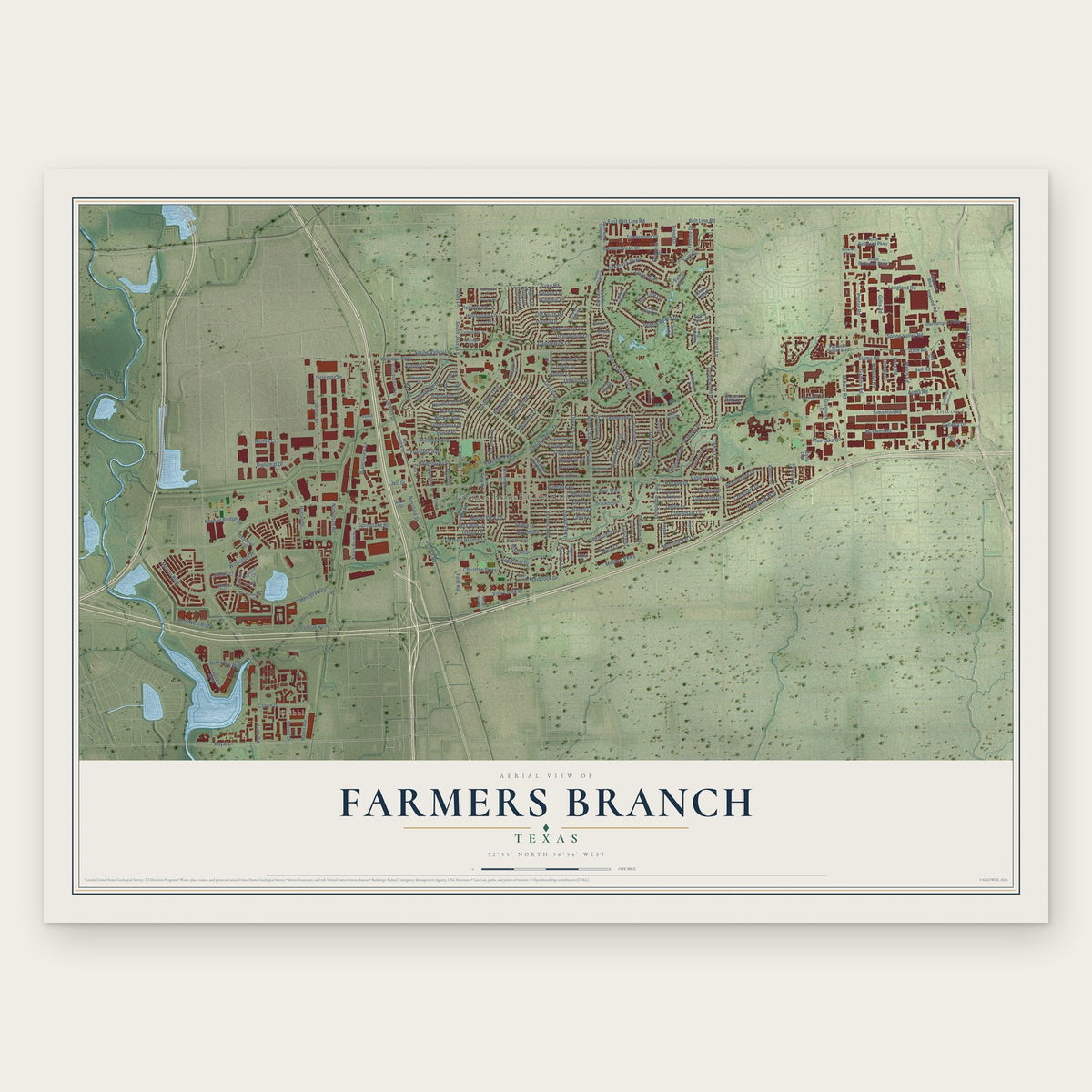
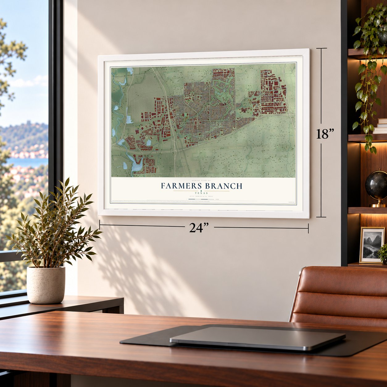
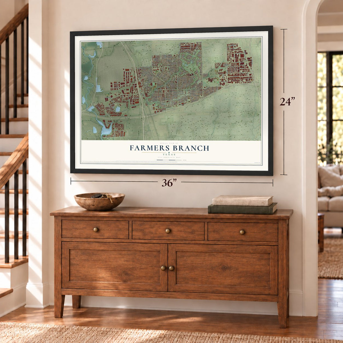
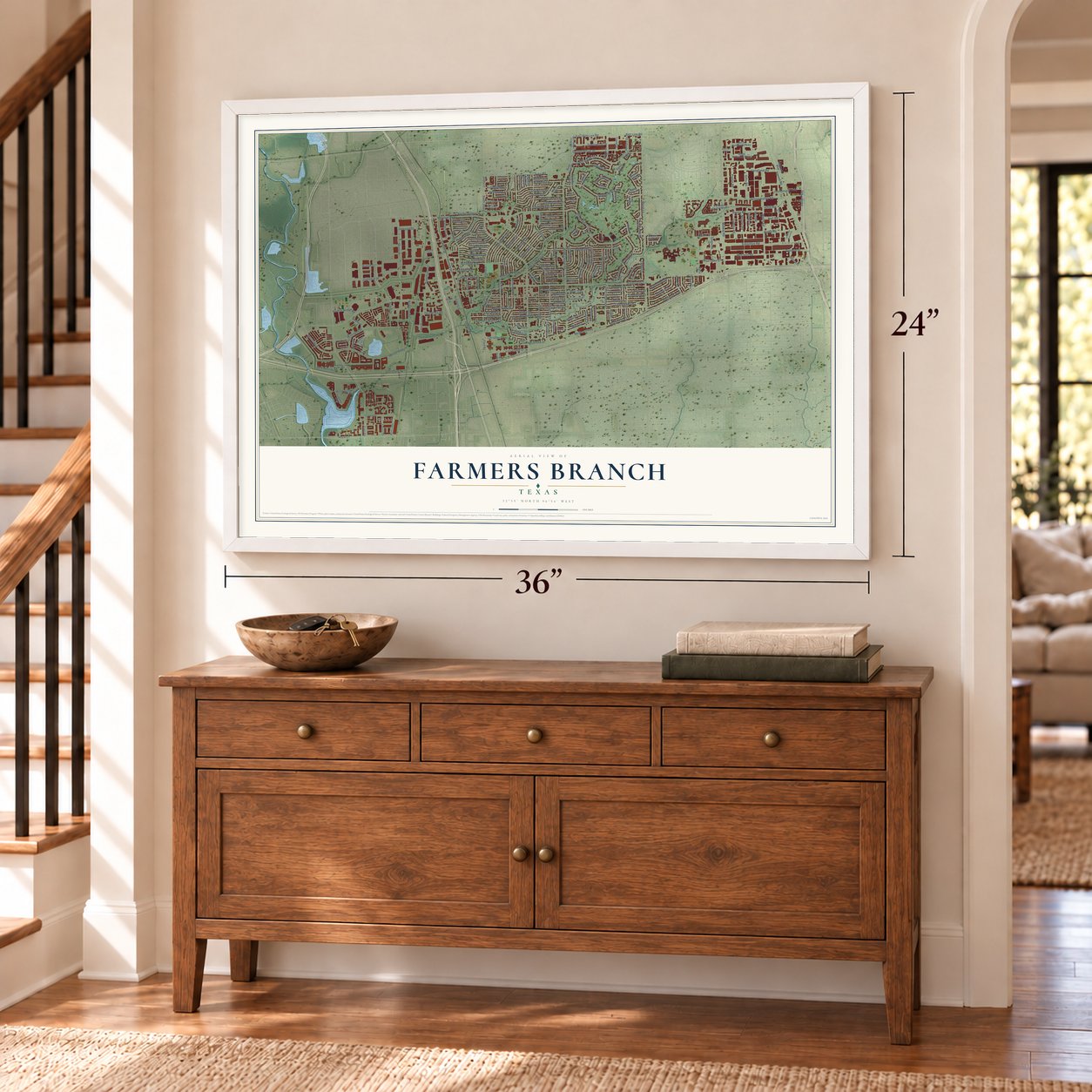
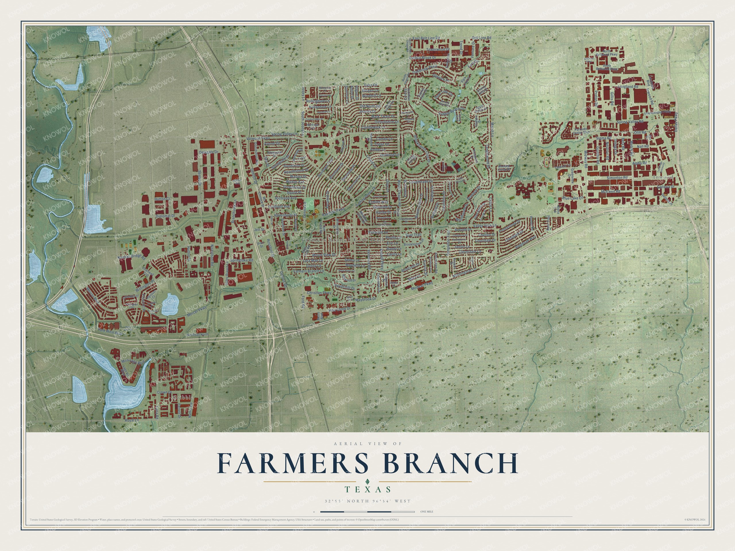
Farmers Branch, Texas Map Art
Building by building, with labeled streets and shaded relief.
12" x 18" Archival Matte Print
A Map of Home. A Work of Art.
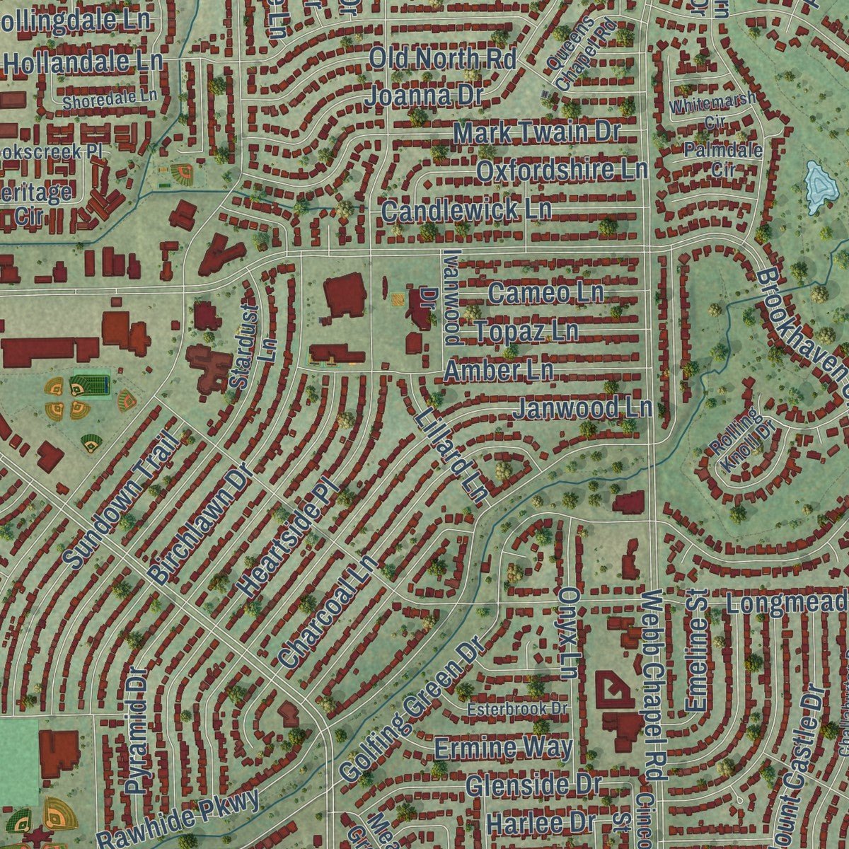
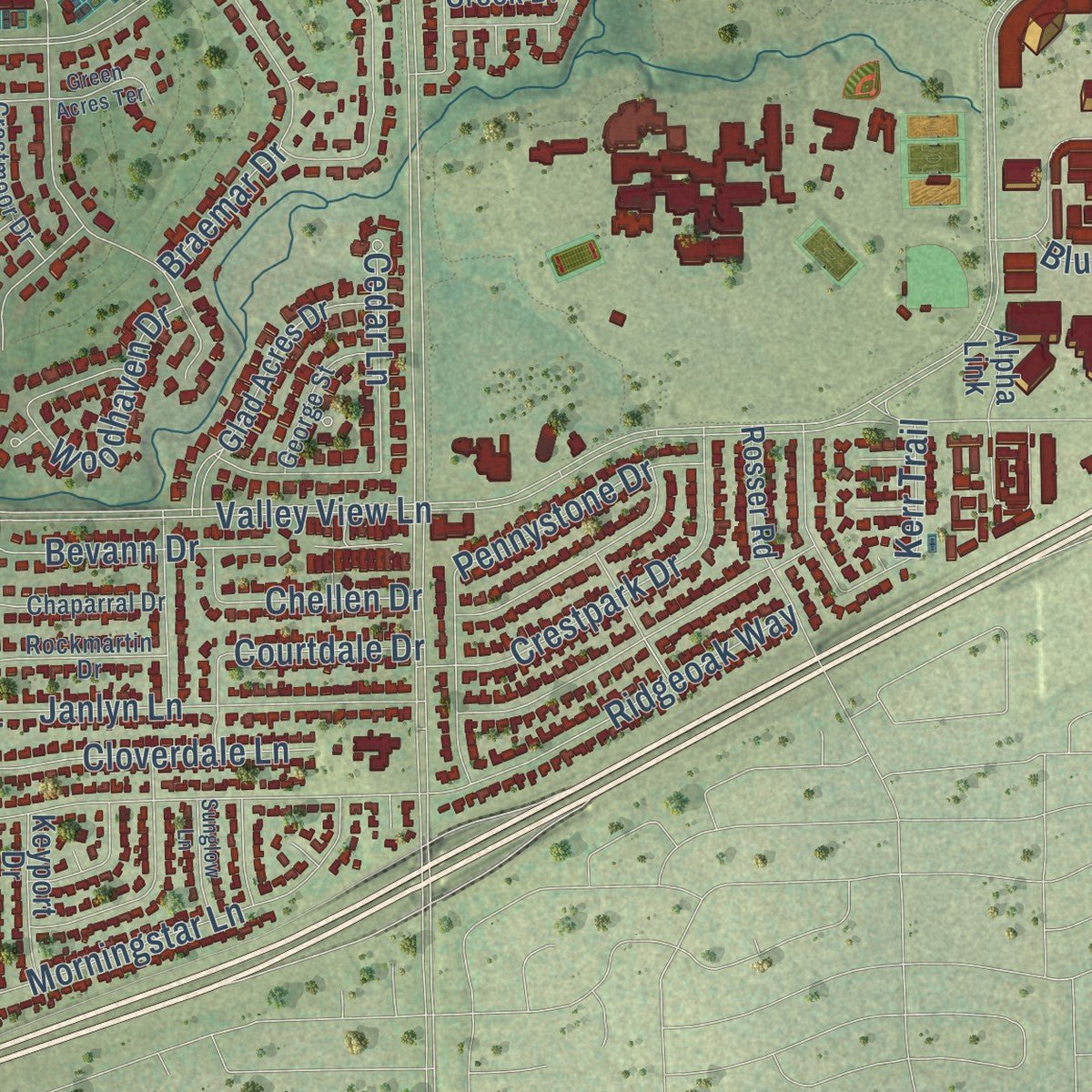
Explore Farmers Branch, Texas from a whole new perspective. Created using aerial imagery and detailed geographic data, this map captures Farmers Branch building by building, with labeled streets, familiar landmarks, and shaded topographical relief that highlights the natural contours of the landscape.
Combining modern data with the timeless character of a vintage atlas, this map is just as interesting up close as it is beautiful on the wall. Whether you grew up in Farmers Branch, spent memorable years there, or call it home today, this unique map is a great way to celebrate a place that means something to you. Zoom in on the preview to look for your street, and then order a print to put your memories on the wall.
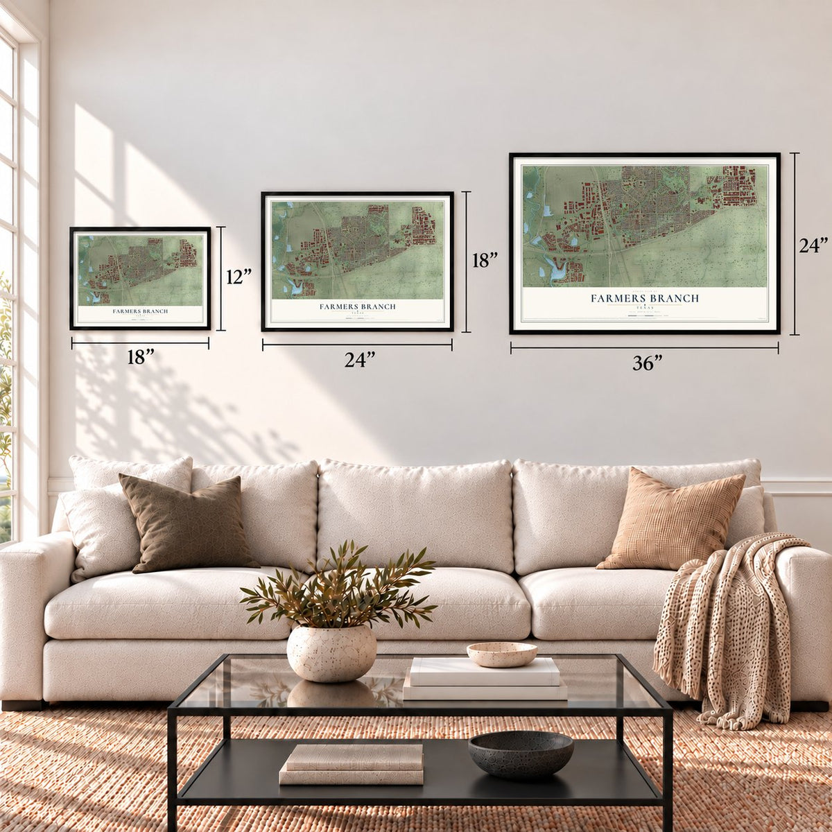
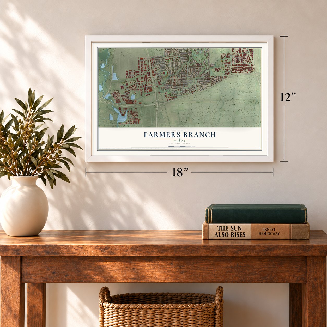
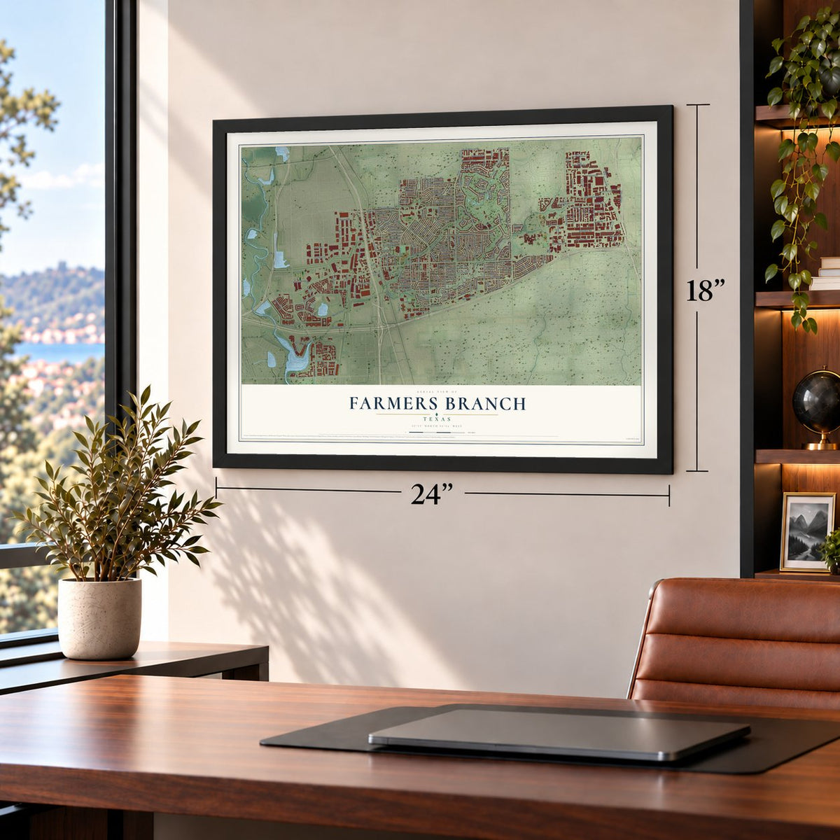
Three ways to hang it
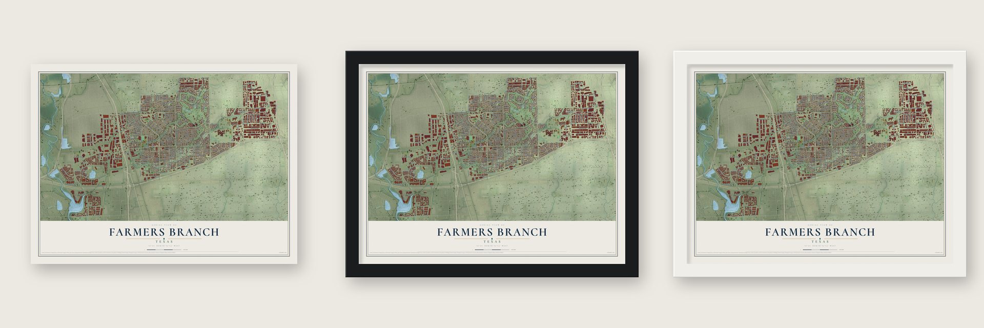
Unframed archival matte, a black wood frame or a white wood frame.
Up close
Geography Worth Displaying
This map was created using accurate cartographic data and authoritative geographic sources, including the U.S. Geological Survey and the Census Bureau. The map brings together terrain, waterways, roads, and building detail. The majority of the streets are labeled, houses are accurately depicted, and the topography is derived from government sources. Combining local data with carefully composed color and shading leads to this beautifully detailed Farmers Branch artwork for your wall.
Rather than simply showing street outlines, we’ve included as many of the street names as we could reasonably fit on the map while keeping their names legible. Zoom in on the high resolution preview to see exactly what’s on the map. We truly set out to create a statement piece for anyone who loves Farmers Branch. So whether it’s for you, or a gift for someone you love, we hope this map of Farmers Branch brings back fond memories.
Read the story behind this map of Farmers Branch, Texas from 2026.

Find your street
Names on the Farmers Branch map
Every name below is printed on this map. Look for your street, your school, the park where you played, or the pond down the road.
Places and landmarks3
- Farmers Branch City Hall
- Gribble
- Inwood
Streets and roads236
- Webb Chapel Road
- East Belt Line Road
- Josey Lane
- Denton Drive
- Wittington Place
- Rossford Street
- Valley View Lane
- Marsh Lane
- Valwood Parkway
- Luna Road
- Midway Road
- Alpha Road
- Brookhaven Club Drive
- Inwood Road
- Senlac Drive
- Golfing Green Drive
- Diplomat Drive
- Dennis Lane
- Rawhide Parkway
- Oakbrook Parkway
- Tanglewood Drive
- Heartside Place
- Spring Valley Road
- Longmeade Drive
- Welch Road
- McEwen Road
- Mercer Boulevard
- Hutton Drive
- Bee Street
- Ridgeoak Way
Show all 236 streets
- Pebble Beach Drive
- Veronica Road
- Fyke Road
- Janwood Lane
- Hollandale Lane
- Simonton Road
- Mercer Parkway
- Royal Lane
- Birchlawn Drive
- Farmers Branch Lane
- Austell Parkway
- Garden Brook Drive
- Belt Line Road
- Sigma Road
- Selma Lane
- Ford Road
- Glenside Drive
- Park West Boulevard
- Denton Road
- Pyramid Drive
- Mark Twain Drive
- Gillis Road
- Havenhurst Street
- Dallas Parkway
- Mira Lago Boulevard
- Charcoal Lane
- Richland Avenue
- Old North Road
- Squire Place
- Branchview Lane
- Joanna Drive
- Spring Valley Lane
- Villa Creek Drive
- Pennystone Drive
- Templeton Trail
- South Josey Lane
- Springvale Drive
- Maybrook Drive
- Proton Road
- Amber Lane
- Shahan Drive
- Wicker Avenue
- Sundown Trail
- Myra Lane
- Maydelle Lane
- Cloverdale Lane
- Lavita Lane
- Janlyn Lane
- Randy Lane
- Crestpark Drive
- Eric Lane
- Morningstar Lane
- Mount Castle Drive
- Cedar Lane
- Castleton Drive
- Gatwick Place
- Braemar Drive
- Kerr Trail
- Towerwood Drive
- Galleria Drive
- Christian Parkway
- Candlewick Lane
- Windmill Lane
- Onyx Lane
- Danny Lane
- Oxfordshire Lane
- Leta Mae Lane
- Brincrest Drive
- Crown Drive
- Langland Road
- Hutton Court
- Prescott Place
- Hearthstone Drive
- Wasina Drive
- Courtdale Drive
- Greenhurst Drive
- Mount View Drive
- Phyllis Lane
- Primrose Lane
- Belfield Drive
- Keenan Bridge Road
- Medical Parkway
- Pine Tree Circle
- Bevann Drive
- Fore Circle
- Cameo Lane
- Topaz Lane
- Treeview Lane
- Rollingdale Lane
- Nicholson Road
- Chellen Drive
- Woodhaven Drive
- Blue Lake Circle
- Ferrell Drive
- Omega Drive
- Beta Road
- Gamma Road
- Ermine Way
- Neutron Road
- Fruitland Avenue
- Avenel Drive
- Emeline Street
- Springlake Road
- Reedcroft Drive
- Spur Trail
- Delegate Drive
- Lillard Lane
- Venture Drive
- Nall Road
- Harlee Drive
- Eunice Street
- Sunrose Lane
- Trend Drive
- Bergen Lane
- Ablon Drive
- Olin Road
- Hague Drive
- Jett Street
- Mathis Avenue
- Tom Field Road
- Stardust Lane
- Chartwell Crst
- Lago Vis West
- Southern Pines Drive
- Valley Branch Lane
- Parkside Center Boulevard
- Wooded Creek Drive
- Brandywine Drive
- Glad Acres Drive
- International Parkway
- Albemarle Drive
- Wilmington Drive
- Brookhollow Drive
- Epps Field Road
- Distribution Way
- Enterprise Drive
- Rosser Road
- South Beltwood Parkway
- Heritage Circle
- North Beltwood Parkway
- Meadow Green Drive
- Montvale Drive
- Coventry Court
- Goodland Street
- Galleria Place
- Amsterdam Road
- Sry Road North
- Apple Valley Drive
- Landmark Boulevard
- Cherry Hills Drive
- Metro Boulevard
- Pike Street
- Park Lake Court
- Ridgefair Place
- Greenview Drive
- Keyport Drive
- Olympic Drive
- Chaucer Lane
- Hanover Court
- Millwood Drive
- Mc Clintock Street
- Cyprus Point Drive
- Ivanwood Drive
- Nestle Drive
- Prestwick Drive
- Dex Drive
- Alpha Link
- Cinco Street
- Webbs Chapel Road
- South Webbs Chapel Road
- Rolling Knoll Drive
- Chaparral Drive
- Rockmartin Drive
- Valley Hi Circle
- Dorado Beach Drive
- Cookscreek Place
- Marsann Lane
- Crestmoor Drive
- George Street
- Queens Chapel Road
- Brisbane Avenue
- Colchester Drive
- Moonriver Lane
- Ashington Trail
- Palmdale Circle
- Elder Street
- Valmar Way
- Abbey Lane
- Shoredale Lane
- Challaburton Drive
- Las Campanas Drive
- Courtyard Circle
- Wood Manor Circle
- Whitemarsh Circle
- Fieldale Drive
- Esterbrook Drive
- Cambridge Concourse
- Bramshaw Trail
- Brighton Place
- Green Acres Terrace
- Sunglow Lane
- Park West Road
- Starcrest Lane
- Demetra Drive
- Beltwood Parkway
- Sunny Hill Lane
Names are listed as they appear on the printed map. Zoom into the product photos to find them.
About Farmers Branch, Texas
Farmers Branch is a Dallas County city that dates to land grants issued in 1842. First known as Mustang Branch, the settlement took its present name from the area's fertile farmland. It grew rapidly after World War II and counted 35,991 residents in the 2020 census.
- Peters Colony OfficeIn 1845, Farmers Branch became the first office location of the Texan Land and Emigration Company, also called the Peters colony.
- Webb's ChapelIsaac B. Webb established Webb's Chapel on May 5, 1845, as the first formal church in Dallas County.
- Early IndustryWilliam Bowles and Jordan, whom Bowles enslaved, built Dallas County's first blacksmith shop here in 1845, when the county's first gristmill was also built.
- Rail ConnectionThe Dallas and Wichita Railway completed a route through Farmers Branch in 1878, connecting Dallas and Lewisville.
- City IncorporationFarmers Branch incorporated in 1946 and soon developed new water facilities, a city hall, a fire station, and other municipal services.
Keep exploring Texas
Farmers Branch is one of 2,049 Texas towns we've mapped. Every dot on the map is a print of its own.
The search covers every state, Texas first.
Near Farmers Branch
Order 2 or more town maps and save 10%. Shown in the size and finish you picked above, so they hang as a set.
- Addison 12" x 18" / Archival Matte Print $39.99
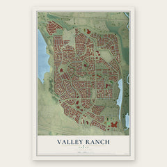
- Valley Ranch 12" x 18" / Archival Matte Print $39.99
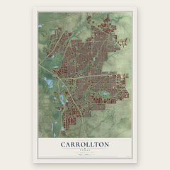
- Carrollton 12" x 18" / Archival Matte Print $39.99
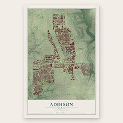
More maps nearby: Las Colinas, Coppell, Irving, University Park and Highland Park.
The art of mapping a place
How This Map Was Made
Real places. Remarkable detail. Discover the layers that turn geographic data into a map of home.

The view from above
Aerial imagery reveals the character of the land: woodland, open fields, and the patterns of a place.

The shape of the land
Elevation data brings hills, valleys, and subtle changes in the landscape into view.

The details of home
Roads, waterways, and building footprints come together to make the map feel unmistakably local.

Geography becomes art
Considered color, shading, and typography bring the layers together in a map made for your wall.


Process illustrated with Mendon, Massachusetts. Aerial imagery: USDA NAIP. Terrain: USGS 3D Elevation Program. Map details and finished artwork: KNOWOL.
The Details
About This Print
Choose an archival matte print, or a black or white Ayous wood frame. The archival matte print is unframed.
Select your size and finish above to see the matching product image and price.
Materials & Craftsmanship
A contemporary map with the character of a classic atlas, printed on archival matte paper. Optional frames are made from Ayous wood.
Your printed map does not include the watermark shown in the full-map preview.
Shipping & Delivery
Free shipping within the United States. Every print is made to order in the USA.
Buying a gift? Add a note in your cart and we'll include it. We never put prices in the package.
Prints ship within 2 to 3 business days. Allow 7 to 10 days total from ordering for delivery. Timing may vary during holidays or periods of high order volume.
Read our shipping policy.
Returns and damaged prints
Each print is made to order. Change-of-mind refunds are not available after production.
If your print arrives damaged, misprinted or incorrect, contact support@knowol.com within 30 days of receiving it. Include your order number, photos and a description of the issue.
Read our full refund and replacement policy. For questions about your order, email support@knowol.com.