
Search for another town




Free U.S. delivery 7 to 10 days after you order
Addison, Texas Map Art
Building by building, with labeled streets and shaded relief.
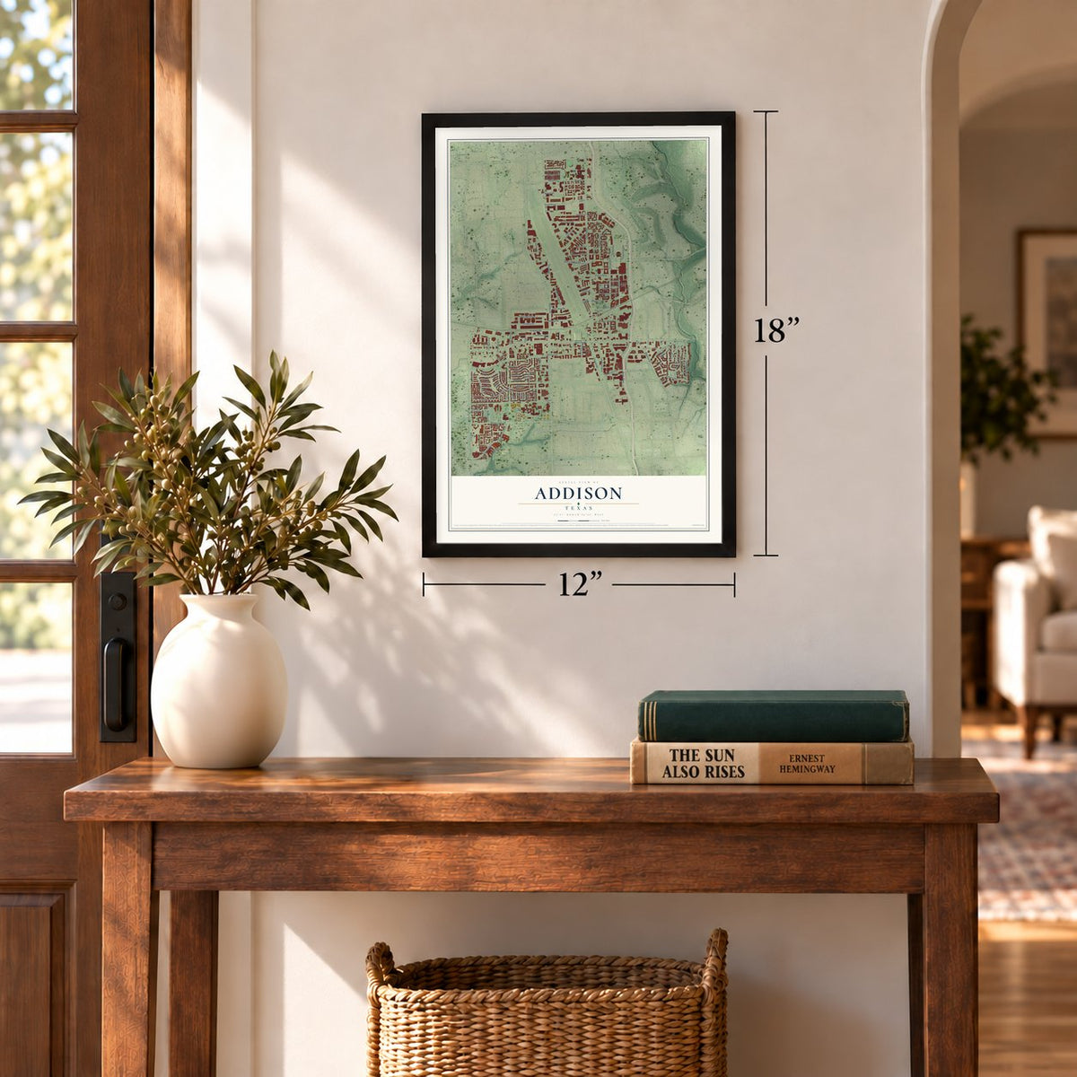
12" x 18" Archival Matte Print
A Map of Home. A Work of Art.
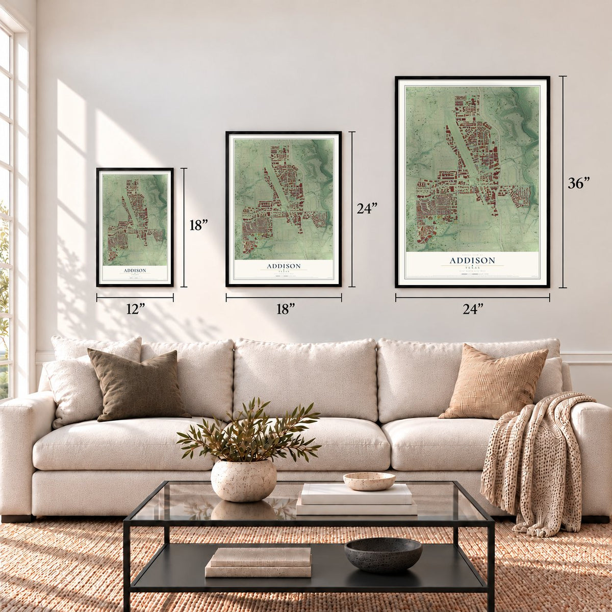
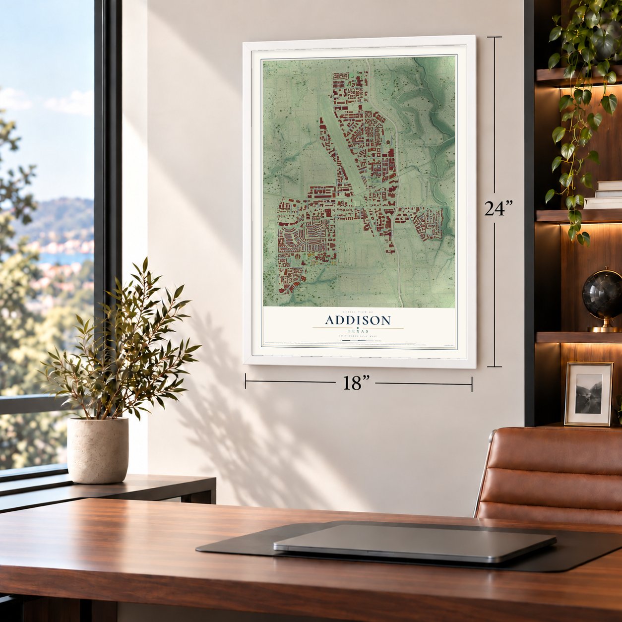
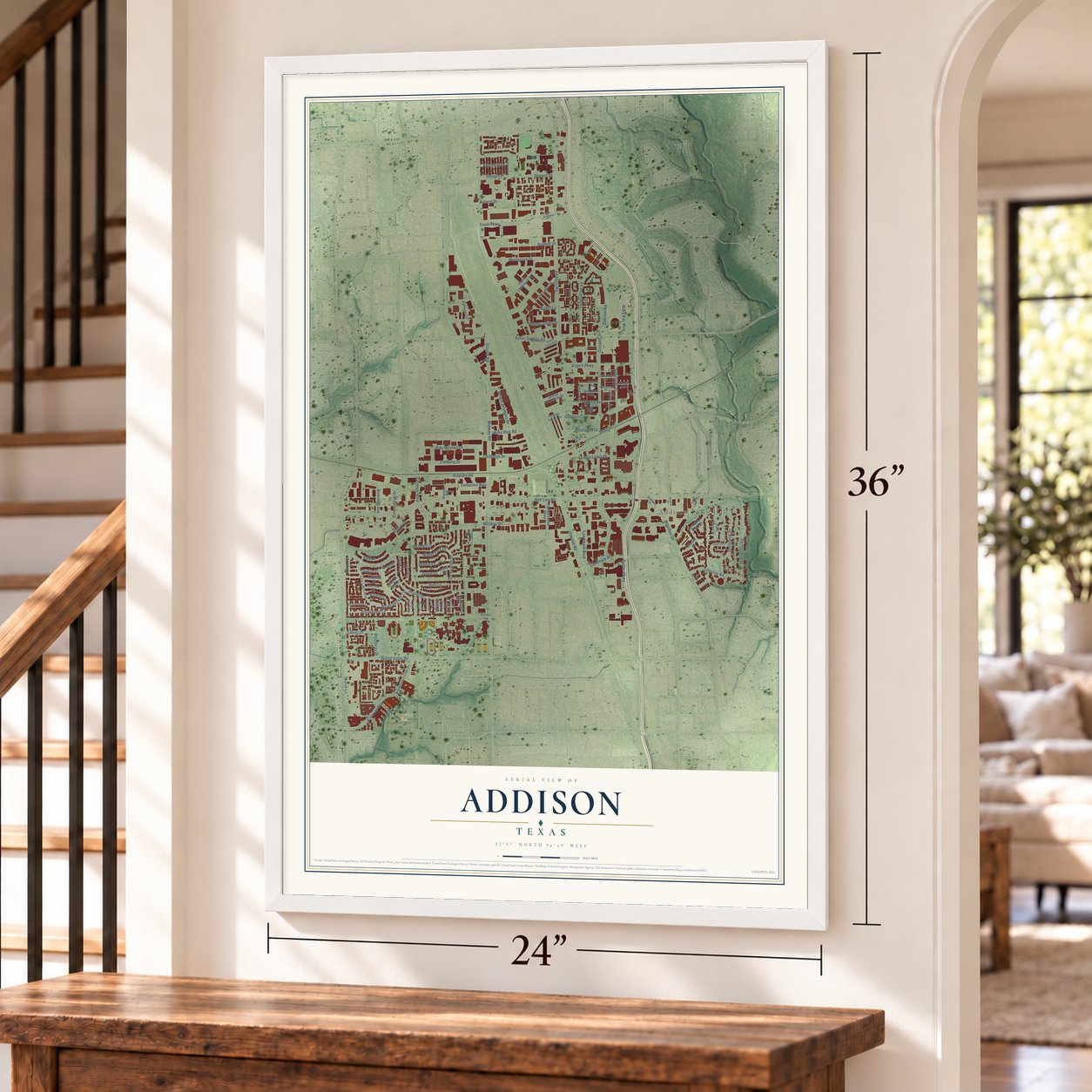
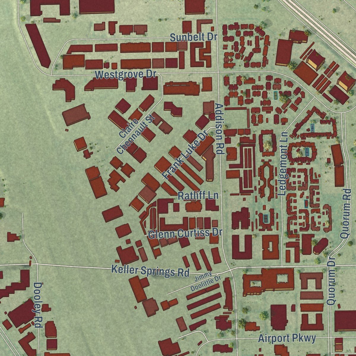
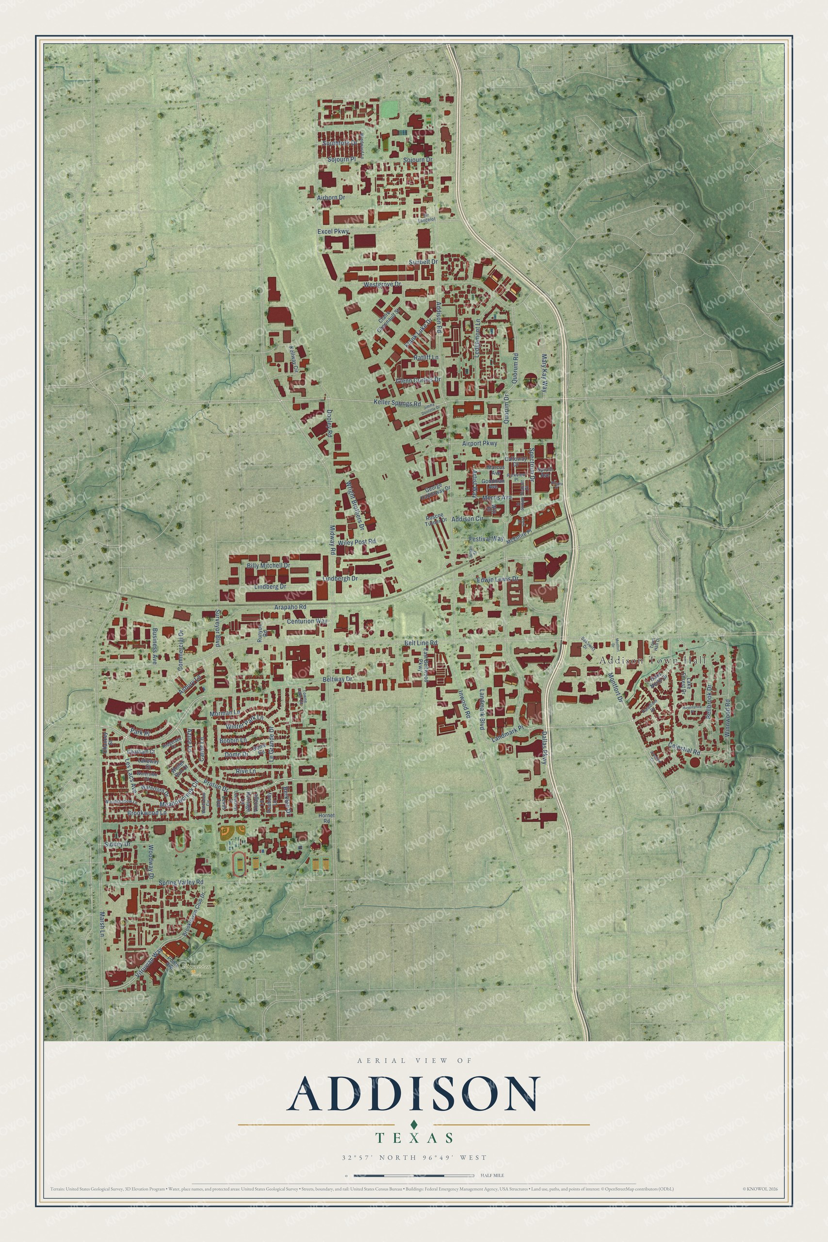
Explore Addison, Texas from a whole new perspective. Created using aerial imagery and detailed geographic data, this map captures Addison building by building, with labeled streets, familiar landmarks, and shaded topographical relief that highlights the natural contours of the landscape.
Combining modern data with the timeless character of a vintage atlas, this map is just as interesting up close as it is beautiful on the wall. Whether you grew up in Addison, spent memorable years there, or call it home today, this unique map is a great way to celebrate a place that means something to you. Zoom in on the preview to look for your street, and then order a print to put your memories on the wall.
Three ways to hang it
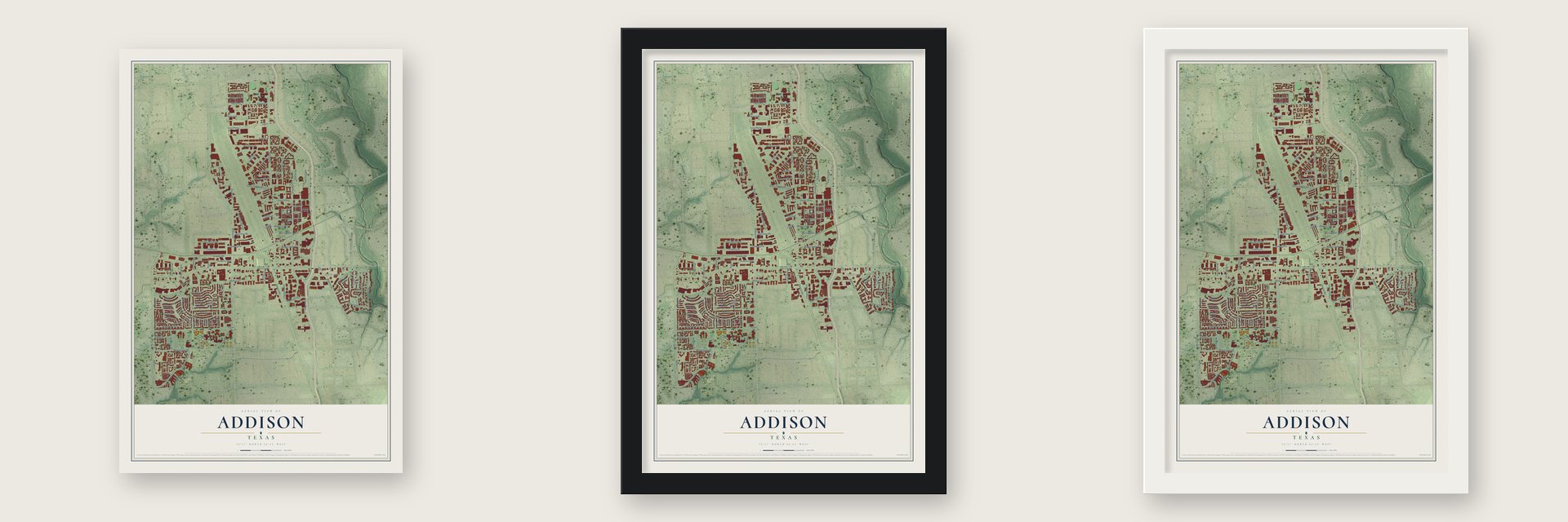
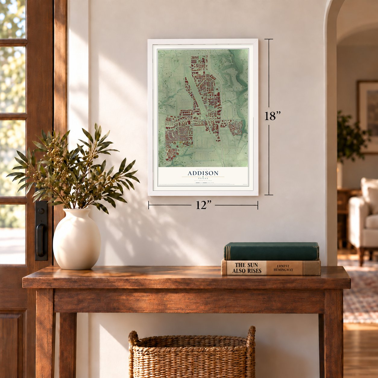
Unframed archival matte, a black wood frame or a white wood frame.
Up close
Geography Worth Displaying
This map was created using accurate cartographic data and authoritative geographic sources, including the U.S. Geological Survey and the Census Bureau. The map brings together terrain, waterways, roads, and building detail. The majority of the streets are labeled, houses are accurately depicted, and the topography is derived from government sources. Combining local data with carefully composed color and shading leads to this beautifully detailed Addison artwork for your wall.
Rather than simply showing street outlines, we’ve included as many of the street names as we could reasonably fit on the map while keeping their names legible. Zoom in on the high resolution preview to see exactly what’s on the map. We truly set out to create a statement piece for anyone who loves Addison. So whether it’s for you, or a gift for someone you love, we hope this map of Addison brings back fond memories.

Find your street
Names on the Addison map
Every name below is printed on this map. Look for your street, your school, the park where you played, or the pond down the road.
Places and landmarks2
- Addison Town Hall
- Vitruvian Park
Streets and roads113
- Quorum Drive
- Proton Drive
- Les Lacs Avenue
- Park Place
- Keller Springs Road
- Beltway Drive
- Brookwood Lane
- Azure Lane
- Inwood Road
- Celestial Road
- Meadowcreek Circle
- Addison Road
- Winnwood Road
- Addison Circle
- Belt Line Road
- Midway Road
- Dallas Parkway
- Arapaho Road
- Marsh Lane
- Westgrove Drive
- Vitruvian Way
- Excel Parkway
- Spectrum Drive
- Lindbergh Drive
- Lindberg Drive
- Spring Valley Road
- Landmark Boulevard
- Mary Kay Way
- Airport Parkway
- Surveyor Boulevard
Show all 113 streets
- Sojourn Drive
- Montfort Drive
- Sunbelt Drive
- Billy Mitchell Drive
- Ledgemont Lane
- Bellbrook Drive
- Dooley Road
- Quorum Road
- Centurion Way
- Morris Avenue
- Wright Brothers Drive
- Le Grande Drive
- Rive Lane
- Morman Lane
- Landmark Place
- Asbury Lane
- Commercial Drive
- Edwin Lewis Drive
- Bobbin Lane
- Dome Drive
- Wiley Post Road
- Winter Park Lane
- Festival Way
- Canot Lane
- Frank Luke Drive
- Glenn Curtiss Drive
- Southfork Drive
- Business Avenue
- Sidney Drive
- Sojourn Place
- Woodway Drive
- Airborn Drive
- Berklee Drive
- Artist Way
- Ratliff Lane
- Chatham Court
- Oaks North Drive
- Brookhaven Club Drive
- Kellway Circle
- Lake Forest Drive
- Claire Chennault Street
- Dome Road
- East Beltwood Parkway
- Waterford Drive
- Peabody Lane
- George Haddaway Drive
- Goodman Avenue
- Marcus Avenue
- McEntire Place
- Lakeway Court
- Roscoe Turner Drive
- Calloway Drive
- Lexus Avenue
- Ponte Avenue
- Spruill Avenue
- Hornet Road
- Vintage Lane
- Chancey Street
- Heritage Lane
- Runyon Road
- Witt Place
- Weller Run Court
- Paladium Drive
- Waterview Circle
- Towne Lake Circle
- Woodshadow Lane
- Parkview Place
- Sakowitz Drive
- Seabolt Place
- Waterside Court
- Windward Lane
- Lakecrest Drive
- Town Hall Drive
- Ridgelake Court
- Sir Lancelot
- Julian Street
- Havenshire Place
- Stanford Court
- Jimmy Doolittle Drive
- Allegro Place
- Lewis Place
- Monfort Drive
- Mildred Place
Names are listed as they appear on the printed map. Zoom into the product photos to find them.
About Addison, Texas
Addison is a town of 16,661 people in Dallas County, just north of Dallas. As early as 1846 Preston Witt had a house by White Rock Creek, and three years later his family opened a gristmill. In 1888 Sidney Smith Noell joined W.W. Julian and W. E. Horten in giving land for a coaling station to the railroad later known as the Cotton Belt, and in 1903 the line built a depot there and named the spot Noell Junction.
A post office opened in 1904, but Leon County already had a community called Noell, so this one took the name Addison, for local resident Addison Robertson. It grew to 75 people by 1914, with three grocers and a bank, but the bank failed and only 40 people remained in 1926. After World War II, residents feared that Dallas, Carrollton or Farmers Branch would annex them, so they asked the county for an election. On June 15, 1953, voters approved incorporation by 19 to 11.
- An airport on a farmDallas businessman W.T. Overton, then 28, bought a big farm north of the Cotton Belt depot in 1955, and in January 1956 he announced plans to make it an airport for business aircraft. Ground was broken on March 16, 1957, and Addison Airport opened that October 18. Because the town still used private wells, Overton's group asked for a municipal well, and in April 1957 voters approved Addison's first public water system.
- Restaurants after 1976In 1976 Addison voters allowed the sale of alcoholic beverages, which most of Dallas County and neighboring Collin County still banned. With low taxes added in, the vote drew restaurants and hotels to town. Addison had 49 restaurants in 1986 and 118 in 1991, when its population had passed 8,000. Two Brazilian steakhouse chains began in Addison: Texas de Brazil and Fogo de Chão.
- A schoolhouse turned restaurantThe original Addison School building opened in 1914. The school became part of the Dallas ISD in 1954 and closed in 1964, and the old building is now the Magic Time Machine Restaurant.
- A road reunited in 1999Building Addison Airport cut Keller Springs Road in two. In February 1999 crews finished the Addison Airport Toll Tunnel, which took three years and cost $26.8 million. Built to ease traffic on Belt Line Road, it joined the two halves of Keller Springs Road again after 42 years.
Keep exploring Texas
Addison is one of 2,049 Texas towns we've mapped. Every dot on the map is a print of its own.
The search covers every state, Texas first.
Near Addison
Order 2 or more town maps and save 10%. Shown in the size and finish you picked above, so they hang as a set.
- Farmers Branch 12" x 18" / Archival Matte Print $39.99
- Carrollton 12" x 18" / Archival Matte Print $39.99
- Hebron 12" x 18" / Archival Matte Print $39.99
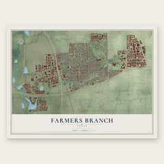
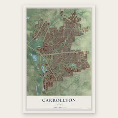
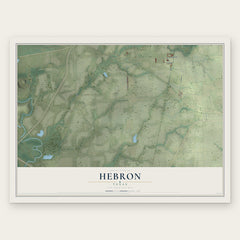
More maps nearby: Valley Ranch, Richardson, Plano, University Park and Las Colinas.
The art of mapping a place
How This Map Was Made
Real places. Remarkable detail. Discover the layers that turn geographic data into a map of home.

The view from above
Aerial imagery reveals the character of the land: woodland, open fields, and the patterns of a place.

The shape of the land
Elevation data brings hills, valleys, and subtle changes in the landscape into view.

The details of home
Roads, waterways, and building footprints come together to make the map feel unmistakably local.

Geography becomes art
Considered color, shading, and typography bring the layers together in a map made for your wall.


Process illustrated with Mendon, Massachusetts. Aerial imagery: USDA NAIP. Terrain: USGS 3D Elevation Program. Map details and finished artwork: KNOWOL.
The Details
About This Print
Choose an archival matte print, or a black or white Ayous wood frame. The archival matte print is unframed.
Select your size and finish above to see the matching product image and price.
Materials & Craftsmanship
A contemporary map with the character of a classic atlas, printed on archival matte paper. Optional frames are made from Ayous wood.
Your printed map does not include the watermark shown in the full-map preview.
Shipping & Delivery
Free shipping within the United States. Every print is made to order in the USA.
Buying a gift? Add a note in your cart and we'll include it. We never put prices in the package.
Prints ship within 2 to 3 business days. Allow 7 to 10 days total from ordering for delivery. Timing may vary during holidays or periods of high order volume.
Read our shipping policy.
Returns and damaged prints
Each print is made to order. Change-of-mind refunds are not available after production.
If your print arrives damaged, misprinted or incorrect, contact support@knowol.com within 30 days of receiving it. Include your order number, photos and a description of the issue.
Read our full refund and replacement policy. For questions about your order, email support@knowol.com.