
Search for another town


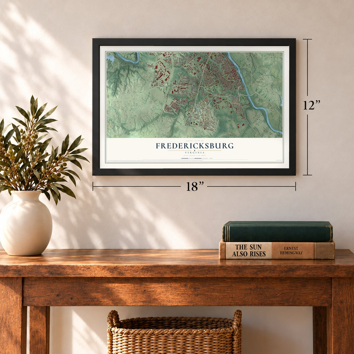
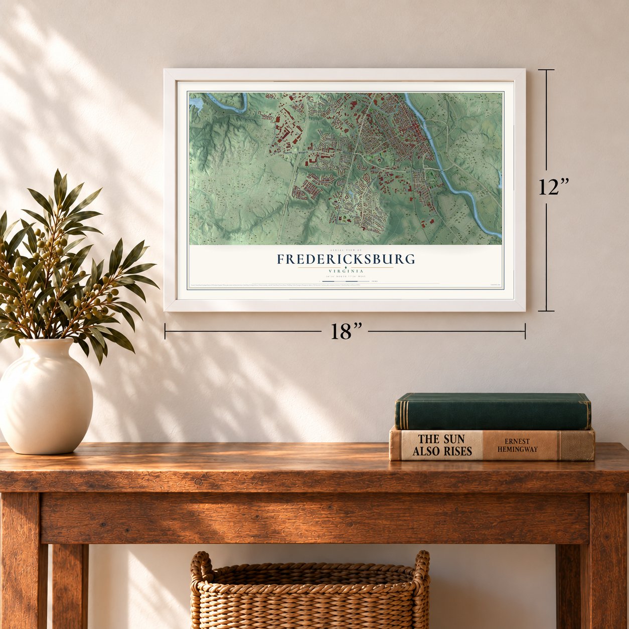
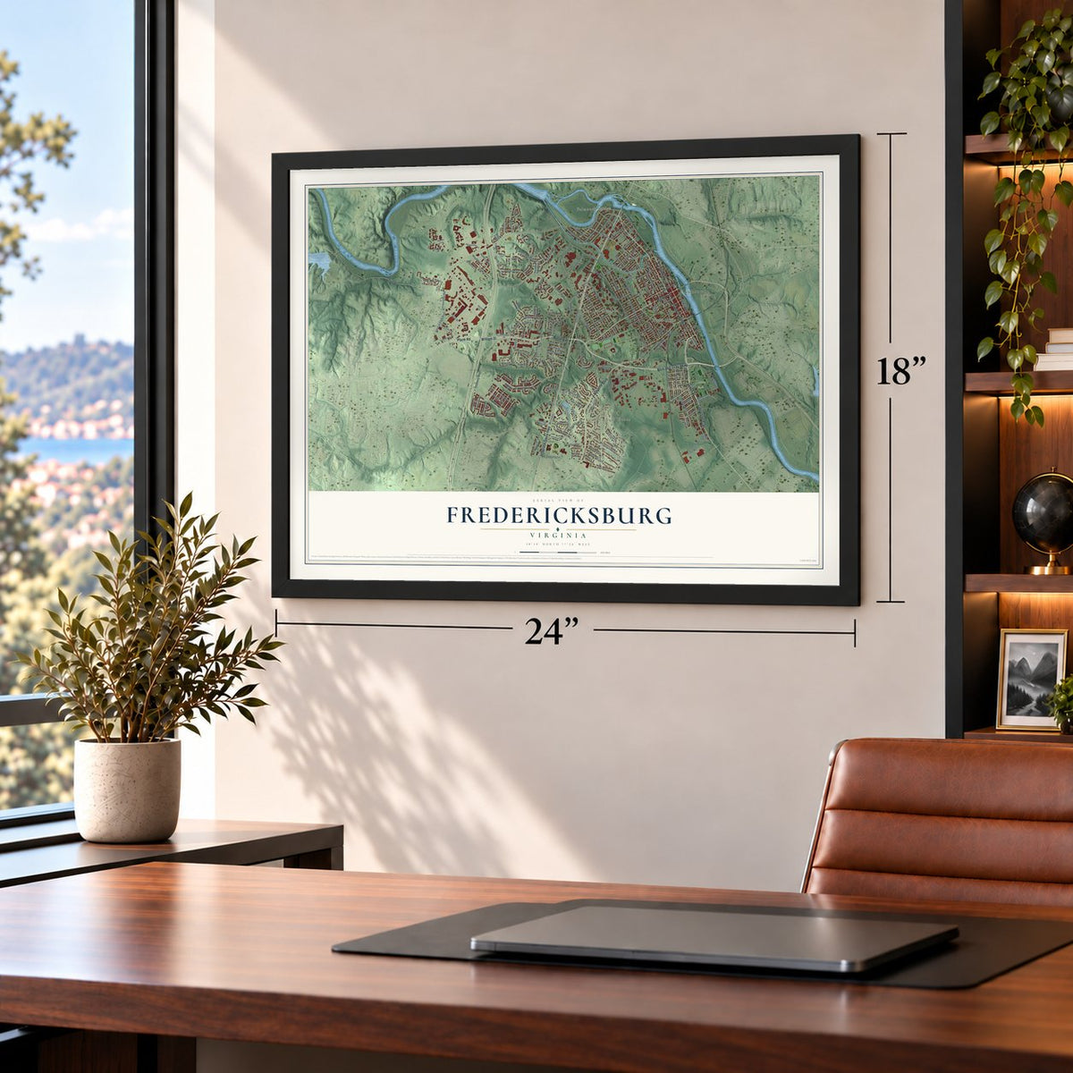
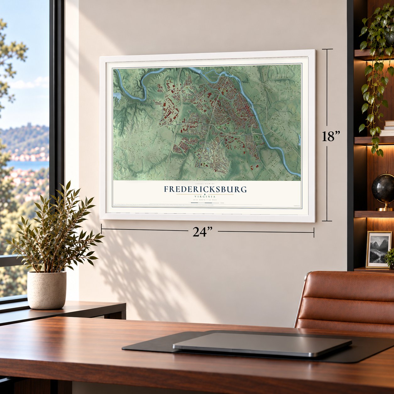

Free U.S. delivery 7 to 10 days after you order
Fredericksburg, Virginia Map Art
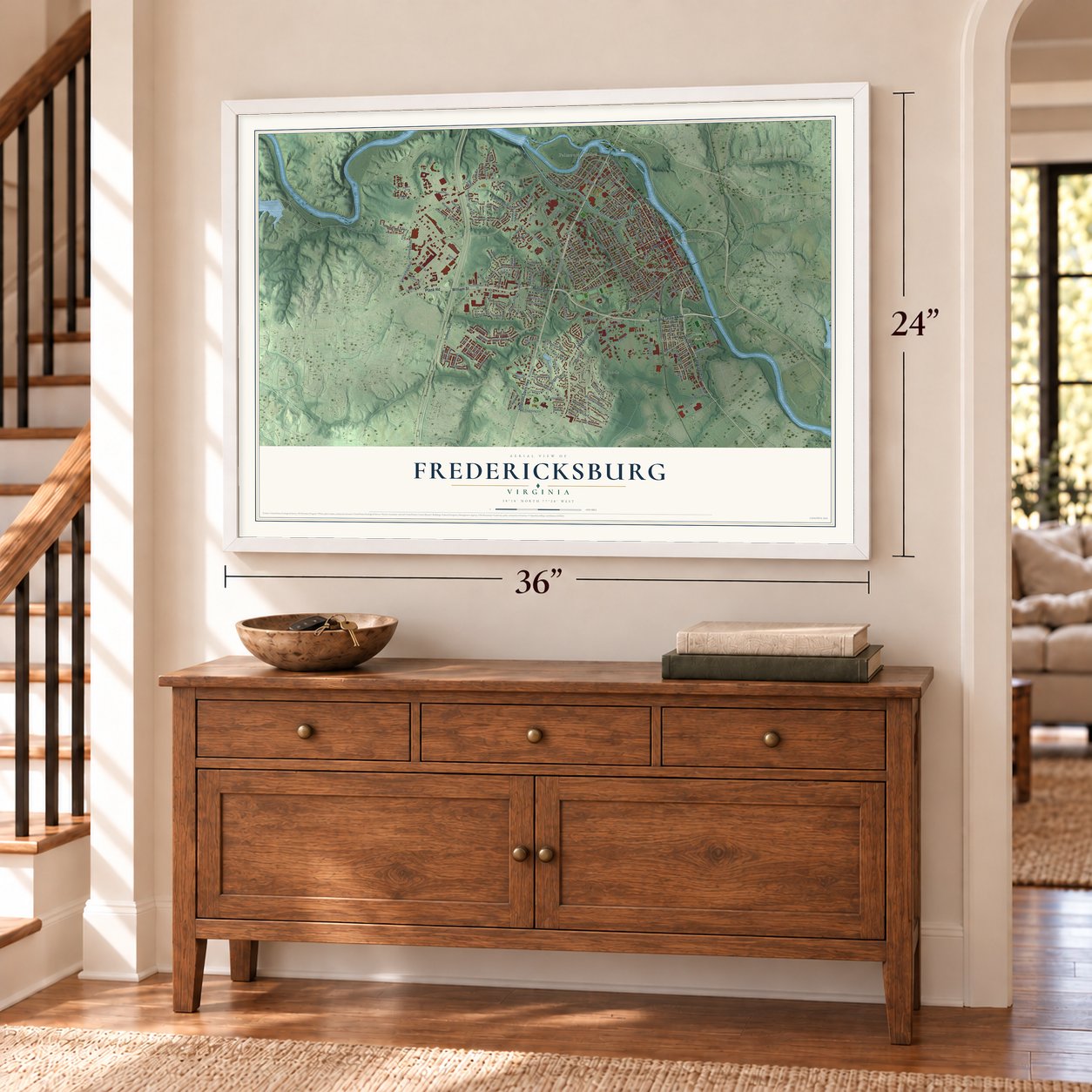
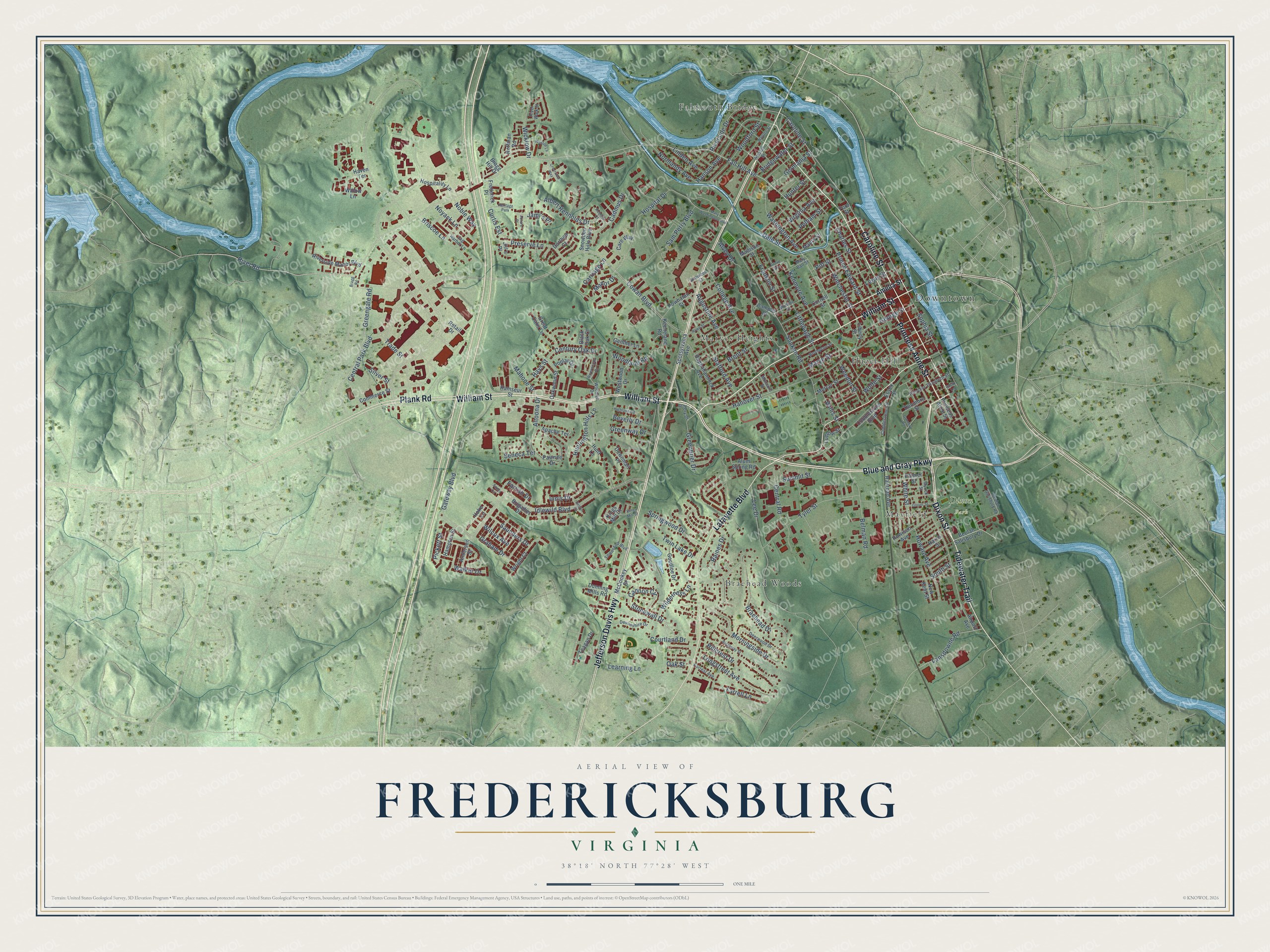
A new map of Fredericksburg, Virginia, made in 2026 and printed to order on thick archival matte paper.
12" x 18" Archival Matte Print
A Map of Home. A Work of Art.
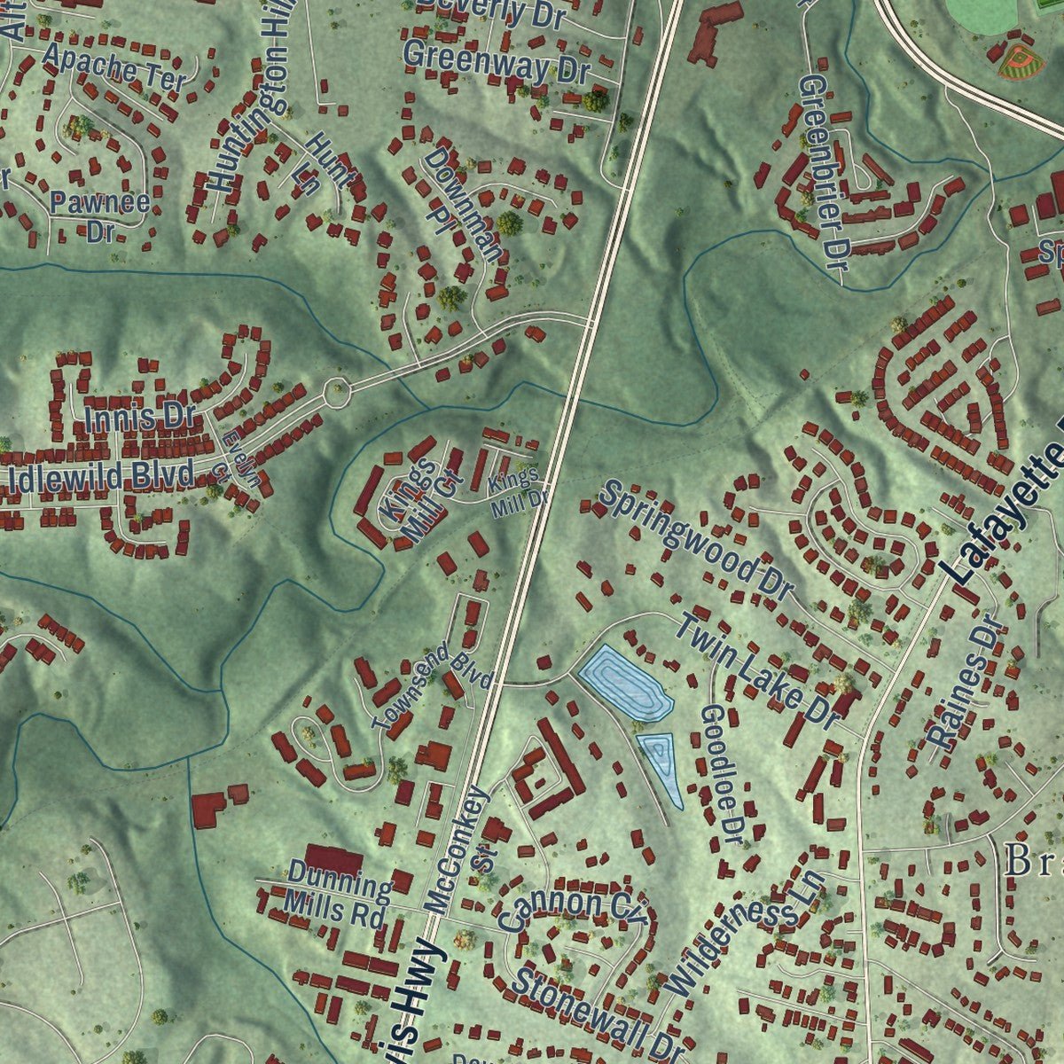
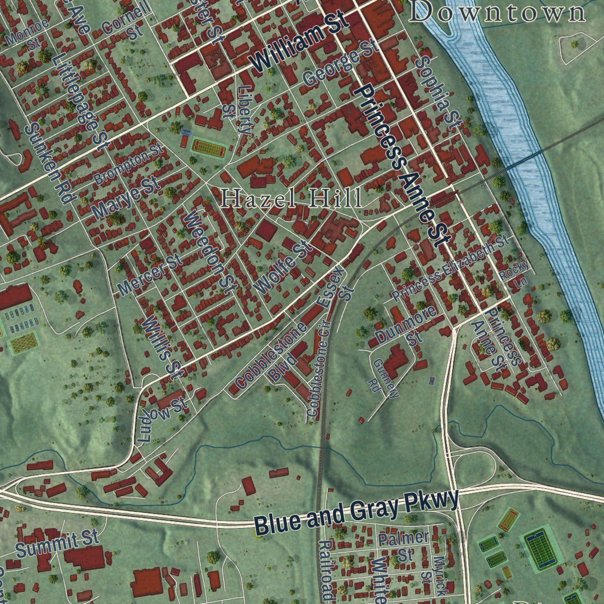
Explore Fredericksburg, Virginia from a whole new perspective. Created using aerial imagery and detailed geographic data, this map captures Fredericksburg building by building, with labeled streets, familiar landmarks, and shaded topographical relief that highlights the natural contours of the landscape.
Combining modern data with the timeless character of a vintage atlas, this map is just as interesting up close as it is beautiful on the wall. Whether you grew up in Fredericksburg, spent memorable years there, or call it home today, this unique map is a great way to celebrate a place that means something to you. Zoom in on the preview to look for your street, and then order a print to put your memories on the wall.
Three ways to hang it
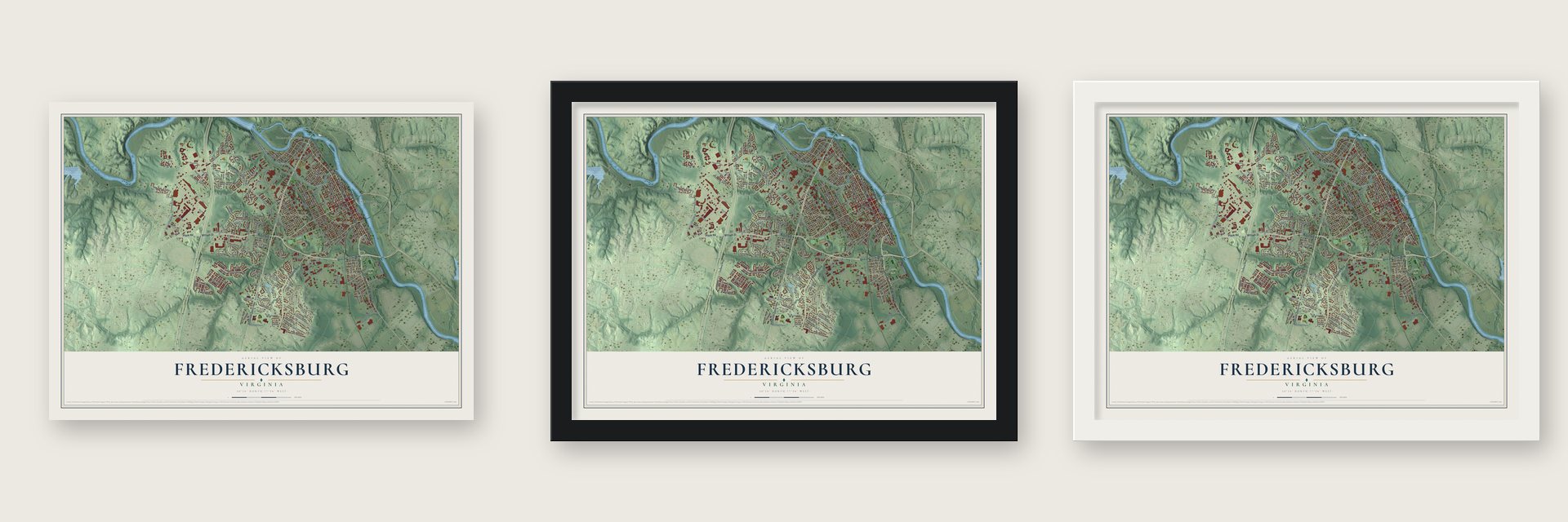
Unframed archival matte, a black wood frame or a white wood frame.
Up close
Geography Worth Displaying
This map was created using accurate cartographic data and authoritative geographic sources, including the U.S. Geological Survey and the Census Bureau. The map brings together terrain, waterways, roads, and building detail. The majority of the streets are labeled, houses are accurately depicted, and the topography is derived from government sources. Combining local data with carefully composed color and shading leads to this beautifully detailed Fredericksburg artwork for your wall.
Rather than simply showing street outlines, we’ve included as many of the street names as we could reasonably fit on the map while keeping their names legible. Zoom in on the high resolution preview to see exactly what’s on the map. We truly set out to create a statement piece for anyone who loves Fredericksburg. So whether it’s for you, or a gift for someone you love, we hope this map of Fredericksburg brings back fond memories.
Read the story behind this map of Fredericksburg, Virginia from 2026.

About Fredericksburg, Virginia
Fredericksburg is an independent city of 27,982 people on the Rappahannock River. It sits at the fall line, where the river gets too shallow for big ships. In 1728 the colonial assembly made it a port for Spotsylvania County. The town was named for Frederick, Prince of Wales, the oldest son of King George II, and its streets were named for his relatives. Its wharves shipped out tobacco and brought in finished goods.
The county court moved here in 1732, so Fredericksburg became the county seat. In 1780 the court moved to Spotsylvania Courthouse, closer to the middle of the county. The town then incorporated in 1781 with its own court, council and mayor. It became an independent city, apart from the county, in 1879. It has had a council and a city manager since 1911.
“No one could be seen on the street but the colored people. and every one of them seemed to be in the best of humors.”
- The Washington family's townAugustine Washington bought Ferry Farm in 1738. The farm lies across the Rappahannock in Stafford County, and his family moved there. George Washington's mother, Mary, later moved into the city, and the Mary Washington House is on the National Register. His sister Betty lived at Kenmore. Its owner, Fielding Lewis, was Washington's brother-in-law. In the 1770s Lewis ran an arms factory for the Continental Army.
- Two Civil War battlesThe town sat halfway between Richmond and Washington, so both armies wanted it. The Battle of Fredericksburg was fought from December 11 to 15, 1862. Union shelling and looting badly damaged the town. During the fighting, nearly 10,000 enslaved people crossed the river to Union lines and freedom. The armies fought here again on May 3, 1863. Parts of both fields are now in the Fredericksburg and Spotsylvania National Military Park.
- The power chord in 1958Link Wray invented the power chord of rock guitar here in 1958. He hit on it while making up his part in the instrumental "Rumble." Wray & His Ray Men put the song out as a single. Many rock guitarists then took up the power chord.
- A college since 1908The University of Mary Washington opened in 1908. Its first name was the State Normal and Industrial School for Women, and it trained white women to teach. It became Mary Washington College in 1938 and desegregated in 1964. In 1970 it split from the University of Virginia and began taking men. It became a university in 2004.
Find your street
Names on the Fredericksburg map
Every name below is printed on this map. Look for your street, your school, the park where you played, or the pond down the road.
Places and landmarks8
- Downtown
- Dixon Park
- Braehead Woods
- Falmouth Bridge
- Hazel Hill
- Maryes Heights
- Mayfield
- Heritage Park
Streets and roads198
- Jefferson Davis Highway
- William Street
- Blue and Gray Parkway
- Plank Road
- Tidewater Trail
- Princess Anne Street
- Lafayette Boulevard
- Dixon Street
- Caroline Street
- Fall Hill Avenue
- Washington Avenue
- Central Park Boulevard
- Trade Street
- Sophia Street
- River Road
- Hanson Avenue
- Idlewild Boulevard
- Charles Street
- Hospital Drive
- Greengate Road
- Normandy Avenue
- Dale Street
- Cowan Boulevard
- Hanover Street
- Sunken Road
- Littlepage Street
- Lee Drive
- Kenmore Avenue
- Prince Edward Street
- Gateway Boulevard
Show all 198 streets
- Braehead Drive
- College Avenue
- Tyler Street
- Twin Lake Drive
- Wolfe Street
- Stafford Avenue
- Morningside Drive
- Woodford Street
- Augustine Avenue
- Hillcrest Drive
- Sam Perry Boulevard
- Riverside Drive
- Beverly Drive
- George Street
- Preserve Lane
- Longstreet Avenue
- Wicklow Drive
- Belman Road
- Summit Street
- Lansdowne Road
- Franklin Street
- Mahone Street
- Winchester Street
- Woodland Road
- Altoona Drive
- Lewis Street
- Briscoe Lane
- Pitt Street
- Hunter Street
- Albert Rennolds Drive
- Howard Avenue
- Virginia Avenue
- Huntington Hills Lane
- Springwood Drive
- Greenbrier Drive
- Central Road
- Farrell Lane
- White Street
- Pelham Street
- Wilcox Avenue
- Saunders Drive
- Bridgewater Street
- Cadmus Drive
- Wilderness Lane
- Seneca Terrace
- Farrish Drive
- Brent Street
- Noyack Lane
- Manor Drive
- Century Oak Drive
- Walker Drive
- Germania Street
- Cannon Circle
- Weedon Street
- Learning Lane
- Courtland Drive
- Stonewall Drive
- Graham Drive
- Hays Street
- Willis Street
- Greenway Drive
- Linden Avenue
- Marye Street
- Silver Street
- Pickett Street
- Innis Drive
- South Street
- Alvey Drive
- Noble Way
- Curtis Est
- Oak Street
- Carriage Lane
- Raines Drive
- Jami's Place
- Amelia Street
- Beulah Salisbury Drive
- New Kent Street
- Essex Street
- Airport Avenue
- Railroad Avenue
- Spotsylvania Avenue
- Riverside Manor Boulevard
- Keeneland Road
- Rappahannock Avenue
- Powhatan Street
- Pawnee Drive
- Cornell Street
- McConkey Street
- Wright Court
- Howison Avenue
- Brigadier Drive
- Cobblestone Boulevard
- Ramseur Street
- Great Oaks Lane
- Oakwood Street
- Teagan Drive
- Apache Terrace
- Downman Place
- Kings Mill Court
- Willow Lane
- Goodloe Drive
- Campus Drive
- Hospitality Lane
- Westwood Drive
- Mercer Street
- Commerce Street
- Palmer Street
- Hampton Street
- Alum Spring Road
- Anderson Street
- Dunning Mills Road
- Care Way
- Snowden Hills Boulevard
- Poplar Drive
- Ludlow Street
- Frederick Place
- Roffman Road
- Dunmore Street
- Genther Lane
- Maury Street
- Hunt Lane
- Bragg Hill Drive
- Harris Street
- Madison Street
- Ford Street
- Liberty Street
- Jill's Place
- Black Oak Court
- Dorthea Court
- Retail Drive
- Hoke Lane
- Haven Terrace
- Woodlyn Drive
- Townsend Boulevard
- Deerwood Drive
- Beulah Salisbury Road
- Princess Elizabeth Street
- Sag Harbor Lane
- Devonshire Drive
- Brompton Street
- Forrest Avenue
- Cobblestone Circle
- Amaret Street
- Monroe Street
- Myrick Street
- River Walk Street
- Armory Drive
- Mary Ball Street
- Snowden Street
- Moncure Street
- Bragg Road
- Sands Circle
- Gunnery Road
- Mary Washington Boulevard
- Wallace Street
- Rowe Street
- Kings Mill Drive
- Grove Avenue
- Highland Road
- Weston Lane
- Glover Street
- Crestview Way
- Ridgeway Street
- Riverwoods Drive
- Roberts Court
- Evelyn Court
- Julia's Place
- Rocky Lane
Names are listed as they appear on the printed map. Zoom into the product photos to find them.
The art of mapping a place
How This Map Was Made
Real places. Remarkable detail. Discover the layers that turn geographic data into a map of home.

The view from above
Aerial imagery reveals the character of the land: woodland, open fields, and the patterns of a place.

The shape of the land
Elevation data brings hills, valleys, and subtle changes in the landscape into view.

The details of home
Roads, waterways, and building footprints come together to make the map feel unmistakably local.

Geography becomes art
Considered color, shading, and typography bring the layers together in a map made for your wall.


Process illustrated with Mendon, Massachusetts. Aerial imagery: USDA NAIP. Terrain: USGS 3D Elevation Program. Map details and finished artwork: KNOWOL.
The Details
About This Print
Choose an archival matte print, or a black or white Ayous wood frame. The archival matte print is unframed.
Select your size and finish above to see the matching product image and price.
Materials & Craftsmanship
A contemporary map with the character of a classic atlas, printed on archival matte paper. Optional frames are made from Ayous wood.
Your printed map does not include the watermark shown in the full-map preview.
Shipping & Delivery
Free shipping within the United States. Every print is made to order in the USA.
Buying a gift? Add a note in your cart and we'll include it. We never put prices in the package.
Prints ship within 2 to 3 business days. Allow 7 to 10 days total from ordering for delivery. Timing may vary during holidays or periods of high order volume.
Read our shipping policy.
Returns and damaged prints
Each print is made to order. Change-of-mind refunds are not available after production.
If your print arrives damaged, misprinted or incorrect, contact support@knowol.com within 30 days of receiving it. Include your order number, photos and a description of the issue.
Read our full refund and replacement policy. For questions about your order, email support@knowol.com.
Find your town
Looking for another city?
Find a map of home in our Virginia collection, or any town in the country.
Nearby
Maps of towns near Fredericksburg
Know someone from one of these towns? Their map makes a great gift.
 Chatham Heights
, Virginia
From $39.99See the map
 Falmouth
, Virginia
From $39.99See the map
 Ferry Farm
, Virginia
From $39.99See the map
More maps nearby: Grafton Village, Leeland Station, England Run, Falls Run and Stafford Lakes Village.