
Search for another town



Free U.S. delivery 7 to 10 days after you order
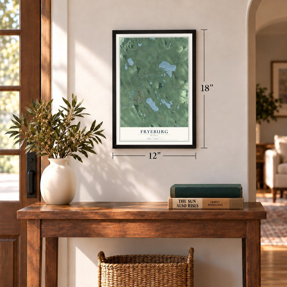
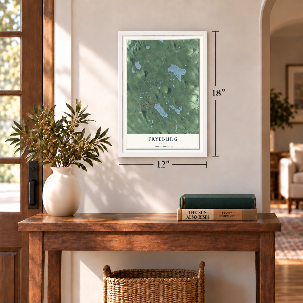
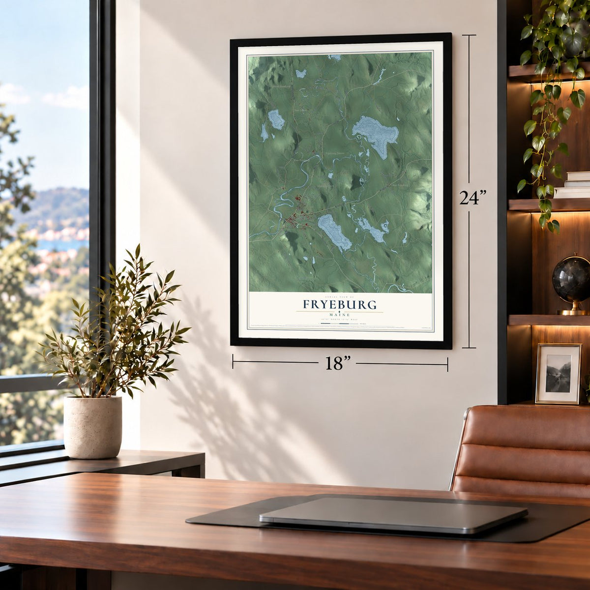
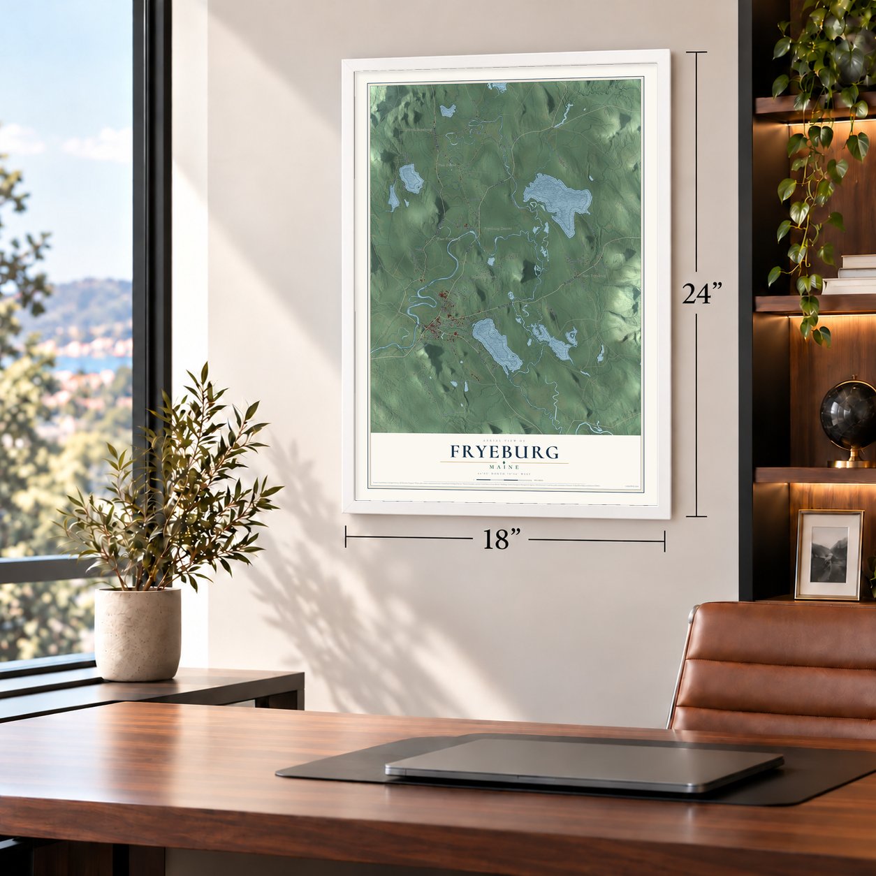
Fryeburg, Maine Map Art
Building by building, with labeled streets and shaded relief.
12" x 18" Archival Matte Print
A Map of Home. A Work of Art.
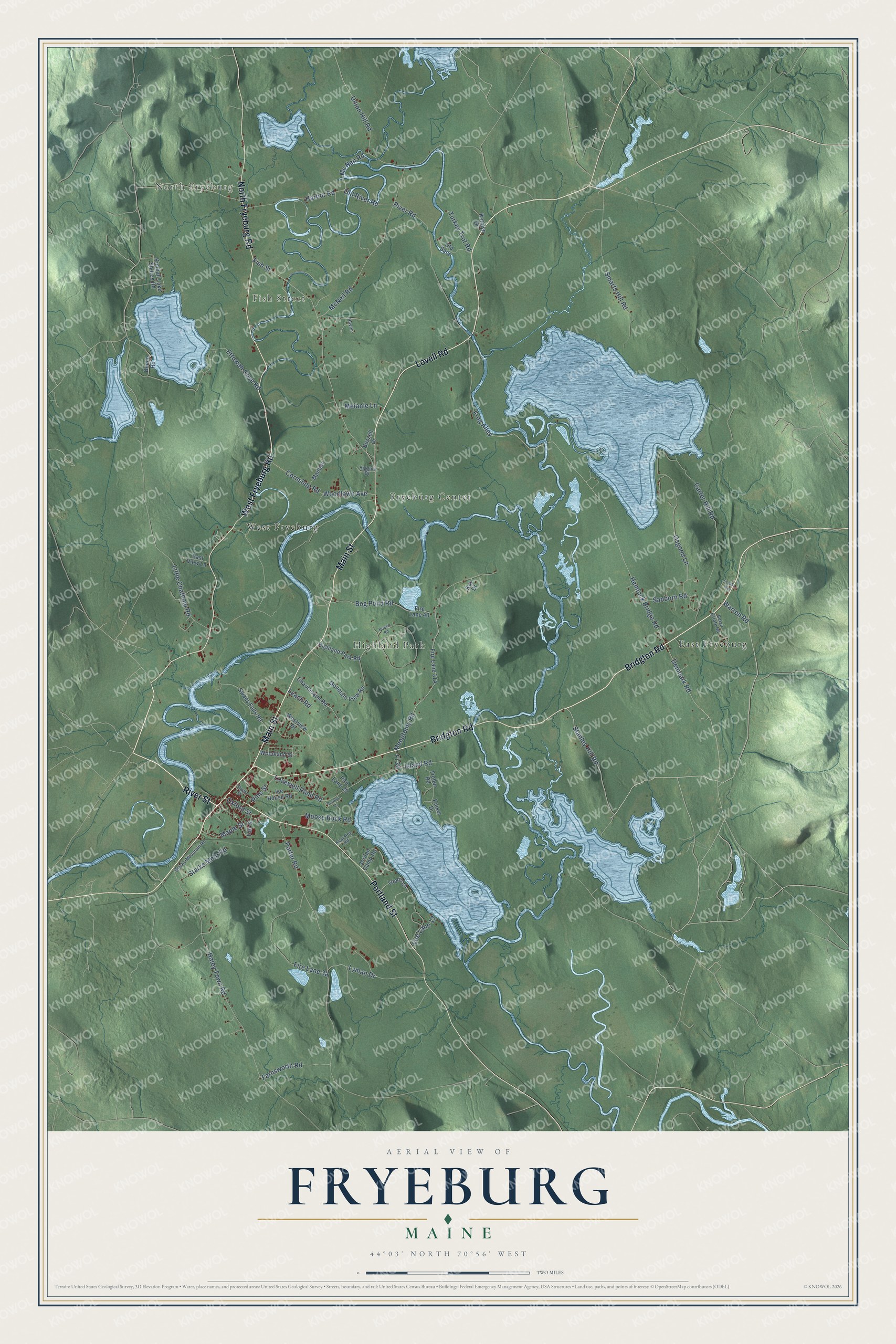
Explore Fryeburg, Maine from a whole new perspective. Created using aerial imagery and detailed geographic data, this map captures Fryeburg building by building, with labeled streets, familiar landmarks, and shaded topographical relief that highlights the natural contours of the landscape.
Combining modern data with the timeless character of a vintage atlas, this map is just as interesting up close as it is beautiful on the wall. Whether you grew up in Fryeburg, spent memorable years there, or call it home today, this unique map is a great way to celebrate a place that means something to you. Zoom in on the preview to look for your street, and then order a print to put your memories on the wall.
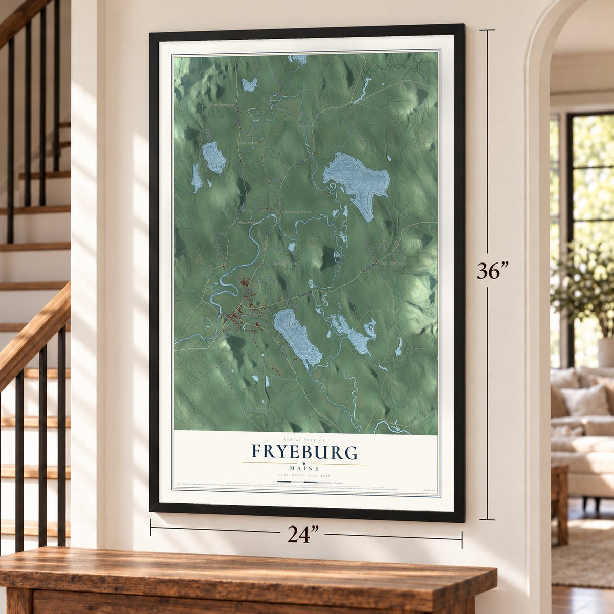
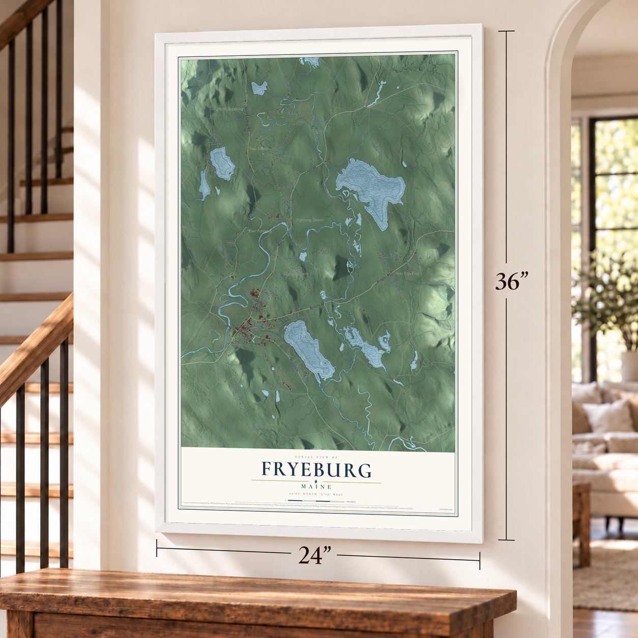
Three ways to hang it
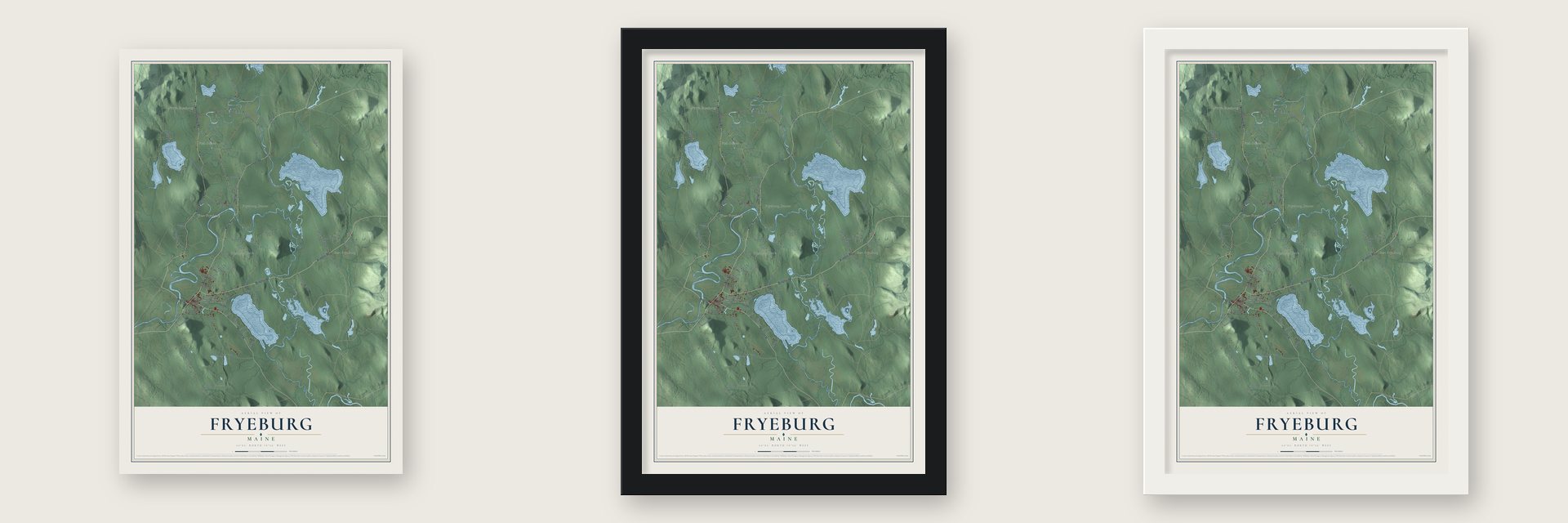
Unframed archival matte, a black wood frame or a white wood frame.
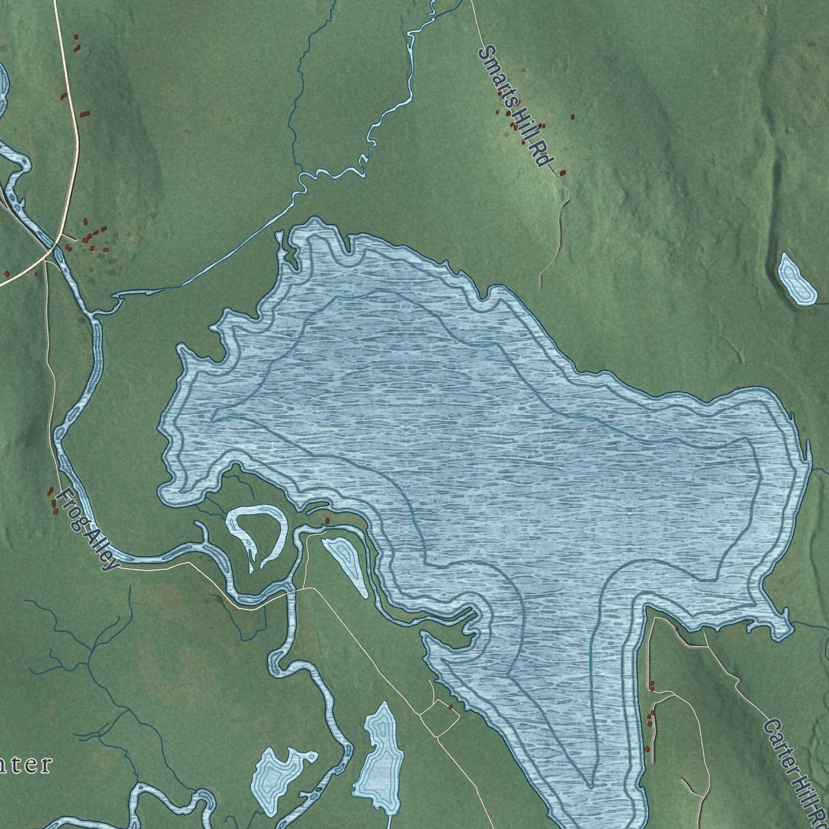
Up close
Geography Worth Displaying
This map was created using accurate cartographic data and authoritative geographic sources, including the U.S. Geological Survey (USGS) and FEMA. The map brings together terrain, waterways, roads, and building detail. The majority of the streets are labeled, houses are accurately depicted, and the topography is derived from government sources. Combining local data with carefully composed color and shading leads to this beautifully detailed Fryeburg artwork for your wall.
Rather than simply showing street outlines, we’ve included as many of the street names as we could reasonably fit on the map while keeping their names legible. Zoom in on the high resolution preview to see exactly what’s on the map. We truly set out to create a statement piece for anyone who loves Fryeburg. So whether it’s for you, or a gift for someone you love, we hope this map of Fryeburg brings back fond memories.
Explore the full map of Fryeburg, Maine and read about the local places it shows.

Find your street
Names on the Fryeburg map
Every name below is printed on this map. Look for your street, your school, the park where you played, or the pond down the road.
Places and landmarks6
- North Fryeburg
- Fish Street
- Highland Park
- East Fryeburg
- Fryeburg Center
- West Fryeburg
Streets and roads75
- Bridgton Road
- Main Street
- Lovell Road
- River Street
- West Fryeburg Road
- North Fryeburg Road
- Portland Street
- Stanley Hill Road
- Warren Road
- Denmark Road
- Hemlock Bridge Road
- Lovewell Pond Road
- Frog Alley
- Fl 30
- Porter Road
- Menotomy Road
- McNeil Road
- Union Hill Road
- Oxford Street
- Carter Hill Road
- Haley Town Road
- Harbor Road
- River Road
- Lyman Drive
- Ettowah Cove Road
- Little Chatham Road
- Osgood Lane
- Moose Rock Road
- Bog Pond Road
- Island Road
Show all 75 streets
- Cornshop Road
- Starks Mntn Road
- Woodlawn Avenue
- Old River Road
- Turkey Trot Road
- Maple Street
- Mc Neil Road
- Smarts Hill Road
- Melanie Lane
- Sanborn Road
- Farnsworth Road
- Fire Lane 13
- Pine Street
- Leach Road
- Westview Drive
- Beech Road
- Highland Park Road
- Swans Falls Road
- Fire Lane 40
- Mountain View Road
- Chautauqua Road
- Jordan Camp Road
- Ice House Road
- Loons Lane
- Trebor Road
- Kimball Lake Shores Road
- Old Saco
- Woodland Street
- Maillett
- Kaiser Drive
- East View Lane
- Fire Lane 29
- Katelyn Drive
- Buzzell Drive
- Fair Street
- Kay Drive
- Starks Mountain Road
- Belair Estate Road
- Stuart Street
- Kearsley Road
- Higgins Drive
- Raven
- Brown Road
- Carolyn Drive
- Franks Way
Names are listed as they appear on the printed map. Zoom into the product photos to find them.
About Fryeburg, Maine
Fryeburg is a town of 3,369 people in Oxford County, on the New Hampshire border. Its land was once Pequawket, an Abenaki village of the Sokokis people whose name meant "crooked place," for the wide bend the Saco River makes here. On May 8, 1725, during Father Rale's War, John Lovewell's militia attacked the village. Lovewell and Chief Paugus were both killed, and the tribe left Pequawket and moved to Canada.
On March 3, 1762, the Massachusetts General Court granted the township to Colonel Joseph Frye of Andover. Nathaniel Smith brought his family from Concord, New Hampshire, in 1763 and made the first permanent settlement. Part of the grant turned out to lie in New Hampshire, so the settlers received other land, called Fryeburg Addition, in what is now Stow. The town was incorporated on January 11, 1777, and its good soil and the river's water power, which turned a gristmill from 1766, made it a prosperous farm center.
- Daniel Webster's academyFryeburg Academy opened in 1792. Daniel Webster taught there as its preceptor in 1802, a year before he left for his career in national politics, and Amos Cook took his place and stayed for many years. Rufus Porter enrolled as a student in 1804 and went on to found Scientific American.
- Peary's view from Jockey CapBefore his Arctic expeditions, Robert Peary made Fryeburg his home for two years, 1878 and 1879. From the top of Jockey Cap, a granite boulder left by a glacier beside the Saco, he surveyed the outline of the hills and mountains in view. His boyhood friend Alfred E. Burton suggested turning that survey into a monument, and the Peary family dedicated it in bronze on a granite cylinder in 1938. A half-mile trail climbs to it.
- Tourists by rail and roadOnce the Civil War was over, a new line, the Portland and Ogdensburg Railroad, reached Fryeburg and brought city people looking to escape the summer heat, and inns, hotels and boarding houses went up to hold them. Cars followed once the Theodore Roosevelt International Highway was named in 1919. That road has been U.S. Route 302 since 1935, and it is now the second busiest highway entry into Maine, after Interstate 95 at Kittery.
- Summer camps since 1924Dr. Abraham Krasker started Indian Acres Camp for Boys in Fryeburg in 1924, and two years later his wife, Gertrude, opened Forest Acres Camp for Girls. Music joined the camps and schools in 1997, when the International Musical Arts Institute was founded in town.
- The Fryeburg FairEvery October the Fryeburg Fair draws about 300,000 visitors to town, and its grounds keep a farm museum that tells the story of the agriculture the town grew up on.
Keep exploring Maine
Fryeburg is one of 536 Maine towns we've mapped. Every dot on the map is a print of its own.
The search covers every state, Maine first.
Near Fryeburg
Order 2 or more town maps and save 10%. Shown in the size and finish you picked above, so they hang as a set.
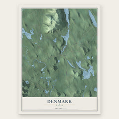
- Denmark 12" x 18" / Archival Matte Print $39.99
- Brownfield 12" x 18" / Archival Matte Print $39.99
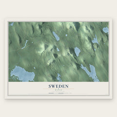
- Sweden 12" x 18" / Archival Matte Print $39.99

The art of mapping a place
How This Map Was Made
Real places. Remarkable detail. Discover the layers that turn geographic data into a map of home.

The view from above
Aerial imagery reveals the character of the land: woodland, open fields, and the patterns of a place.

The shape of the land
Elevation data brings hills, valleys, and subtle changes in the landscape into view.

The details of home
Roads, waterways, and building footprints come together to make the map feel unmistakably local.

Geography becomes art
Considered color, shading, and typography bring the layers together in a map made for your wall.


Process illustrated with Mendon, Massachusetts. Aerial imagery: USDA NAIP. Terrain: USGS 3D Elevation Program. Map details and finished artwork: KNOWOL.
The Details
About This Print
Choose an archival matte print, or a black or white Ayous wood frame. The archival matte print is unframed.
Select your size and finish above to see the matching product image and price.
Materials & Craftsmanship
A contemporary map with the character of a classic atlas, printed on archival matte paper. Optional frames are made from Ayous wood.
Your printed map does not include the watermark shown in the full-map preview.
Shipping & Delivery
Free shipping within the United States. Every print is made to order in the USA.
Buying a gift? Add a note in your cart and we'll include it. We never put prices in the package.
Prints ship within 2 to 3 business days. Allow 7 to 10 days total from ordering for delivery. Timing may vary during holidays or periods of high order volume.
Read our shipping policy.
Returns and damaged prints
Each print is made to order. Change-of-mind refunds are not available after production.
If your print arrives damaged, misprinted or incorrect, contact support@knowol.com within 30 days of receiving it. Include your order number, photos and a description of the issue.
Read our full refund and replacement policy. For questions about your order, email support@knowol.com.