
Search for another town
Free U.S. delivery 7 to 10 days after you order
Fulton, Missouri Map Art
Building by building, with labeled streets and shaded relief.
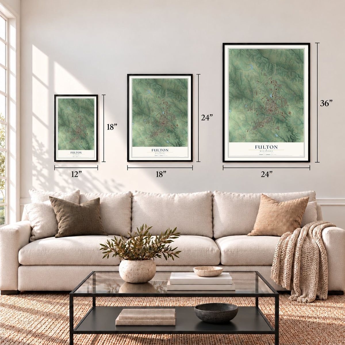
12" x 18" Archival Matte Print
A Map of Home. A Work of Art.
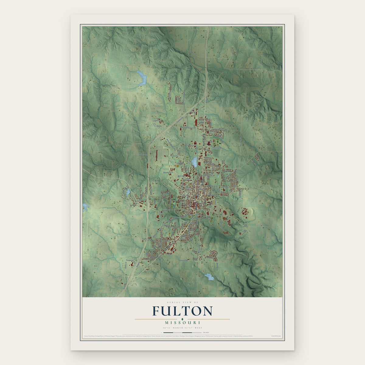
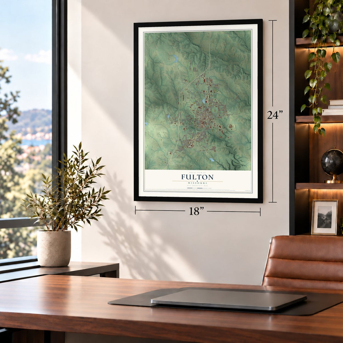
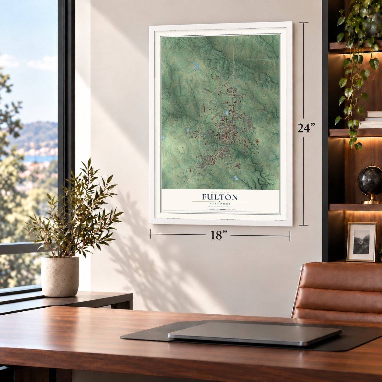
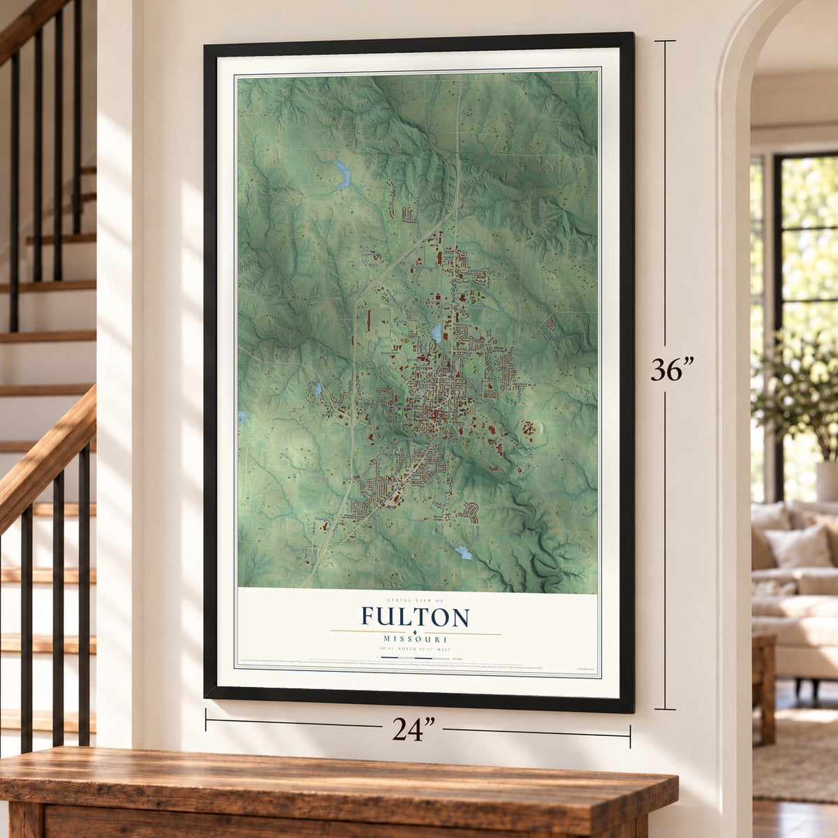
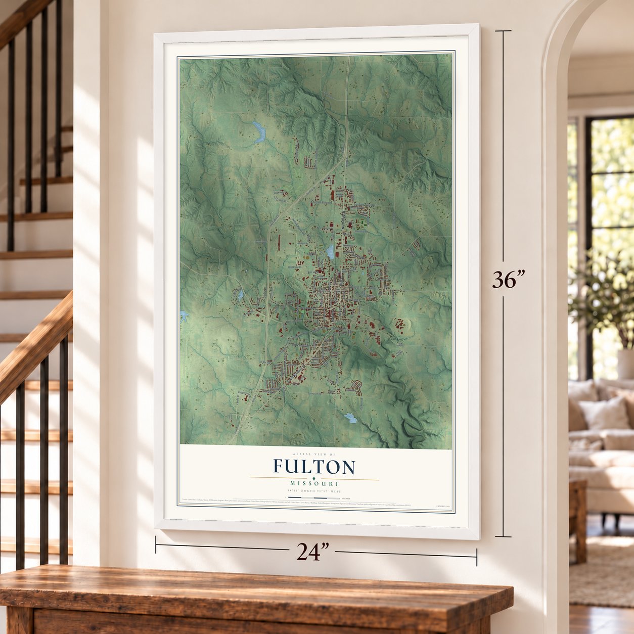
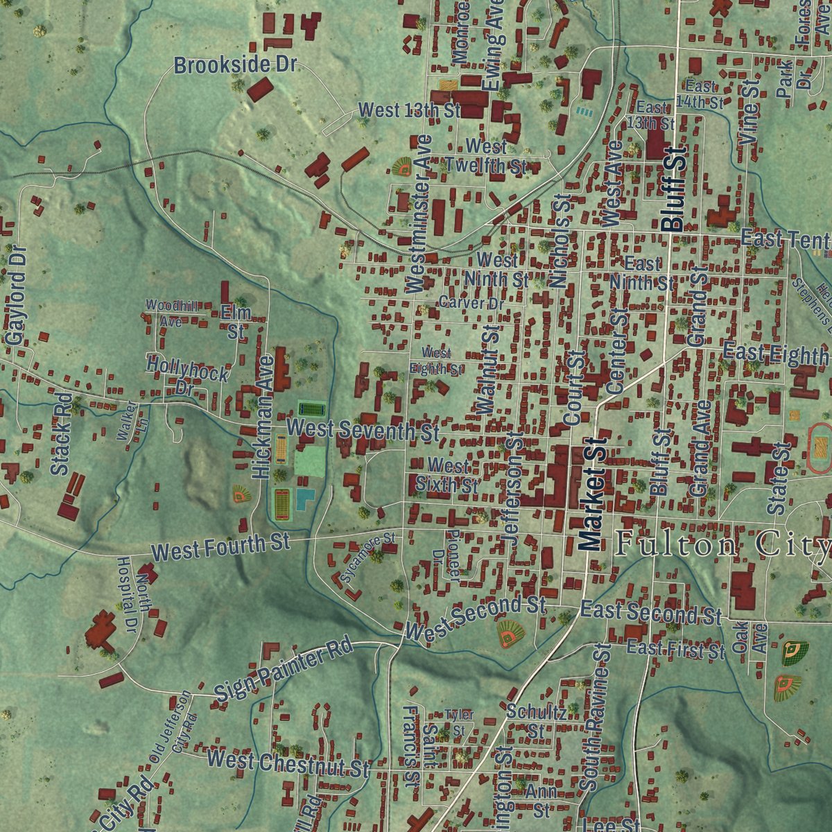
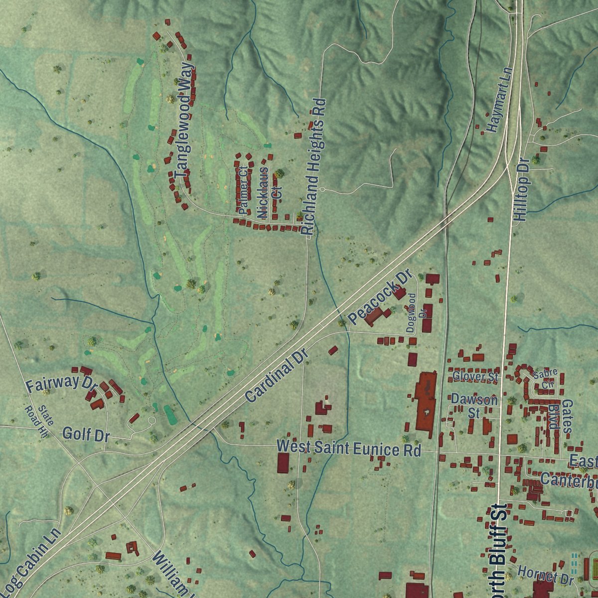
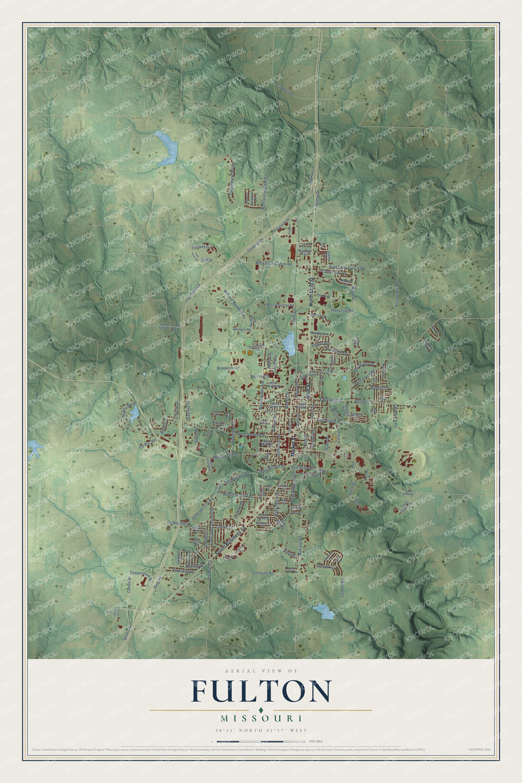
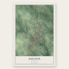
Explore Fulton, Missouri from a whole new perspective. Created using aerial imagery and detailed geographic data, this map captures Fulton building by building, with labeled streets, familiar landmarks, and shaded topographical relief that highlights the natural contours of the landscape.
Combining modern data with the timeless character of a vintage atlas, this map is just as interesting up close as it is beautiful on the wall. Whether you grew up in Fulton, spent memorable years there, or call it home today, this unique map is a great way to celebrate a place that means something to you. Zoom in on the preview to look for your street, and then order a print to put your memories on the wall.
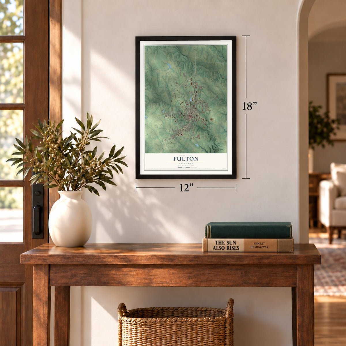
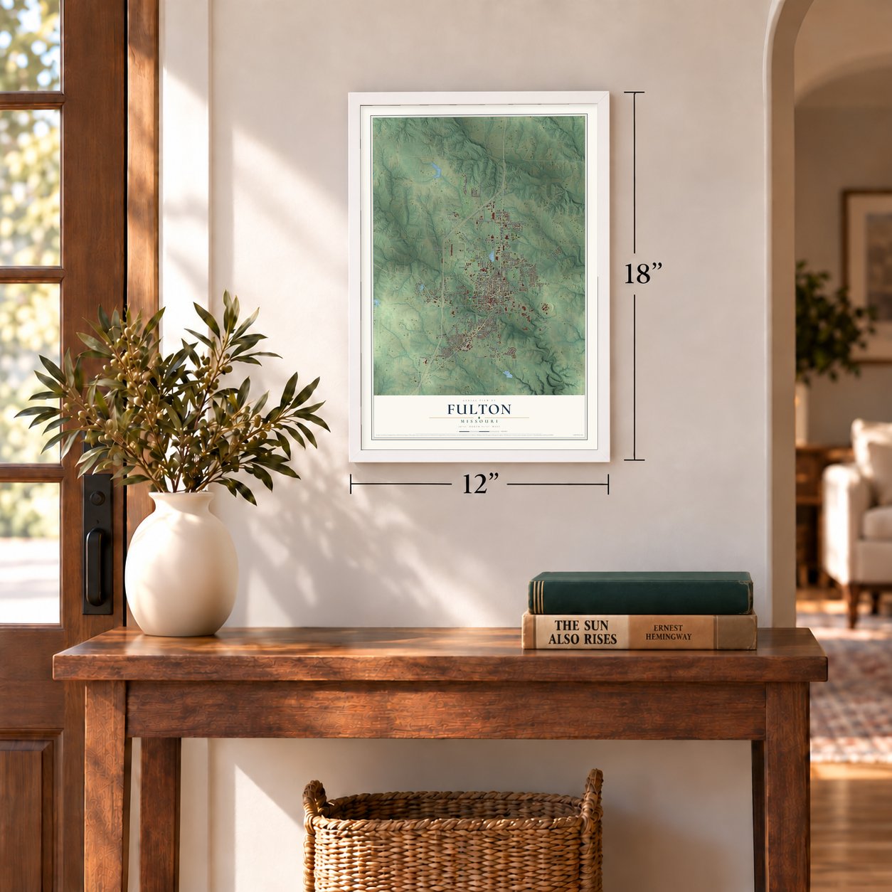
Three ways to hang it
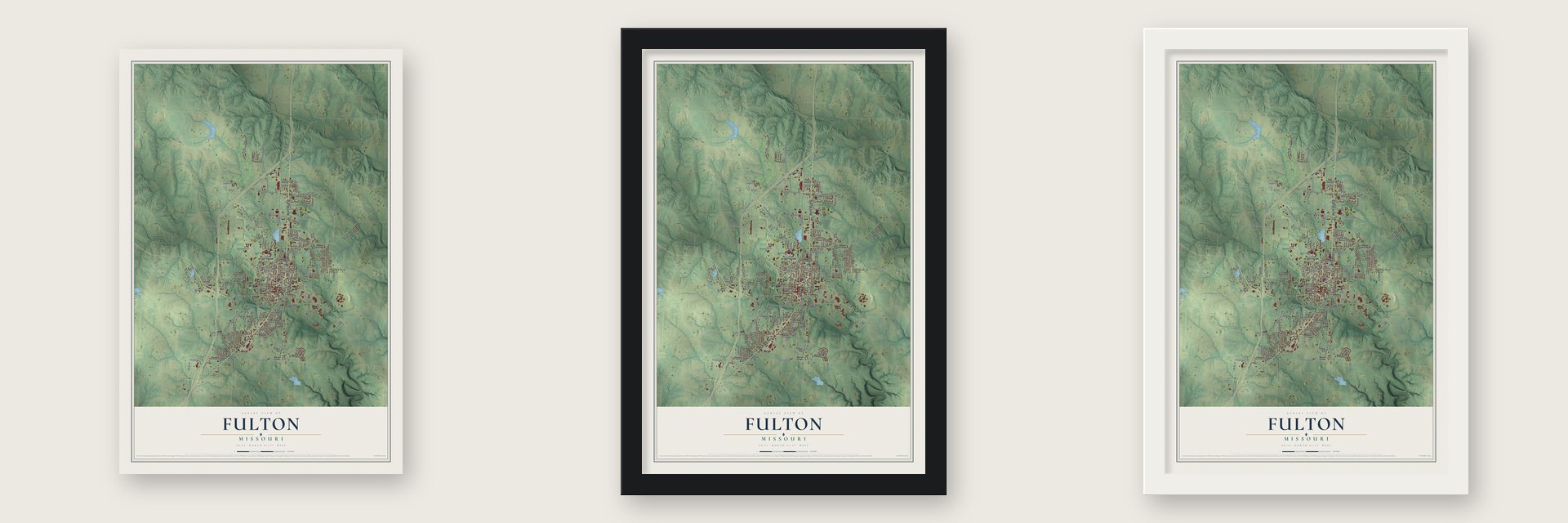
Unframed archival matte, a black wood frame or a white wood frame.
Up close
Geography Worth Displaying
This map was created using accurate cartographic data and authoritative geographic sources, including the U.S. Geological Survey and the Census Bureau. The map brings together terrain, waterways, roads, and building detail. The majority of the streets are labeled, houses are accurately depicted, and the topography is derived from government sources. Combining local data with carefully composed color and shading leads to this beautifully detailed Fulton artwork for your wall.
Rather than simply showing street outlines, we’ve included as many of the street names as we could reasonably fit on the map while keeping their names legible. Zoom in on the high resolution preview to see exactly what’s on the map. We truly set out to create a statement piece for anyone who loves Fulton. So whether it’s for you, or a gift for someone you love, we hope this map of Fulton brings back fond memories.
Read the story behind this map of Fulton, Missouri from 2026.
Find your street
Names on the Fulton map
Every name below is printed on this map. Look for your street, your school, the park where you played, or the pond down the road.
Places and landmarks1
- Fulton City Hall
Streets and roads154
- North Bluff Street
- Market Street
- South Business 54
- Bluff Street
- Court Street
- East Eighth Street
- Sign Painter Road
- West Second Street
- East Tenth Street
- Bartley Lane
- Jefferson City Road
- West Chestnut Street
- Centre Drive
- Smith Street
- Cardinal Drive
- South Ravine Street
- Kleewood Drive
- Brookside Drive
- Vine Street
- Westminster Avenue
- Wood Street
- Mokane Road
- West Seventh Street
- Tennyson Road
- Richland Heights Road
- West Fourth Street
- East Saint Eunice Road
- Herring Mill Road
- Nichols Street
- State Street
Show all 154 streets
- Gaylord Drive
- Tanglewood Way
- Collier Lane
- Jefferson Street
- Log Cabin Lane
- Rice Road
- William Woods Avenue
- Cote Sans Dessein Road
- West Saint Eunice Road
- Cooperative Drive
- Hawk Lake Drive
- County Route 210
- Hickman Avenue
- Ewing Avenue
- Saint Louis Road
- Grand Street
- Industrial Road
- Hilltop Drive
- East Second Street
- Randall Lane
- Fairway Drive
- Evergreen Drive
- Bradley Lane
- Walnut Street
- County Route 401
- Silver Drive
- Parkridge Drive
- Grand Avenue
- Canterbury Drive
- King Street
- West Avenue
- Washington Street
- Gregory Lane
- Peacock Drive
- Herring Drive
- Manor Drive
- Power Lane
- County Route 409
- Airway Drive
- Center Street
- Golf Drive
- County Route 304
- County Route 306
- High Street
- Kathy Street
- Stack Road
- Lee Street
- West Reed Street
- Hillcrest Street
- West Ninth Street
- East Ninth Street
- Hornet Drive
- East First Street
- West Sixth Street
- Castlewood Avenue
- West Industrial Road
- Richard Ault Drive
- Monroe Street
- Churchill Road
- McNeal Lane
- West Twelfth Street
- Dixie Avenue
- Douglas Boulevard
- Erik Place
- Meadowlark Lane
- Saint Francis Street
- Hollyhock Drive
- West 13th Street
- East Reed Street
- Haymart Lane
- Lake Drive
- Thatcher Street
- Jessica Lane
- Atkinson Road
- Haddley Lee Drive
- Dunham Drive
- Gates Boulevard
- Crestwood Drive
- Forest Avenue
- Dawson Street
- Schultz Street
- Youth Center Drive
- Sioux Drive
- Julian Lane
- Nicklaus Court
- Colonial Drive
- Ann Street
- Oak Avenue
- County Route 204
- Ashley Court
- Park Drive
- Elm Street
- Kay Drive
- Wood
- Carver Drive
- Commons Drive
- Ferdinand Drive
- Pioneer Drive
- North Hospital Drive
- Lynn Avenue
- East 13th Street
- Kenwood Drive
- Blackburn Street
- Briar Wood Trail
- Palmer Court
- Glover Street
- Hearnes Drive
- Lynn Street
- State Road Uu
- Birch Cove Drive
- East 14th Street
- University Avenue
- Dogwood Drive
- Old Jefferson City Road
- West Eighth Street
- Helen Stephens Lane
- State Road Hh
- Sycamore Street
- Sabre Circle
- William Street
- Woodhill Avenue
- King Carter Drive
- Tyler Street
- Walker Lane
Names are listed as they appear on the printed map. Zoom into the product photos to find them.
About Fulton, Missouri
Fulton is a city of 12,600 people and the seat of Callaway County. It was founded in 1825 to serve as the county seat and was first named Volney, for the comte de Volney, a Frenchman born Constantin François de Chassebœuf. Only two months later the town changed its name to honor Robert Fulton, the engineer and inventor who built the first steamboat.
Most of the early settlers came from the coastal and upland South, and they brought enslaved people with them to work the farms. Over the next few decades the churches and the state chose Fulton for their schools and institutions. The Presbyterians opened a female seminary in 1842, lawmakers picked the town for a state asylum in 1847, and in 1851 it gained both a school for deaf students and Fulton College. Fulton was incorporated as a city on March 14, 1859.
- A state asylum in 1847On February 26, 1847, the Missouri General Assembly voted to build an asylum for the insane in Fulton, the first mental hospital anywhere west of the Mississippi River. Four years later, on February 28, 1851, lawmakers also placed the state's school for the deaf here. The Missouri School for the Deaf is still in Fulton, and the Fishback Museum tells its story.
- The Iron Curtain speechThe Presbyterian Church opened the all-male Fulton College in the fall of 1851, and it later became Westminster College. There, on March 5, 1946, Winston Churchill gave his "Sinews of Peace" address, remembered for the Iron Curtain, as President Harry S. Truman watched. Mikhail Gorbachev, Ronald W. Reagan, Gerald R. Ford and Margaret Thatcher spoke there later. The National Churchill Museum marks the visit, beside St Mary the Virgin, Aldermanbury, a London church taken apart and rebuilt on campus.
- An orphan school's new homeIn 1890 the Christian Church's Orphan School left Camden Point, Missouri, and settled in Fulton. The town had offered $40,000 and 10 acres of land, which surely helped win it. The school grew into William Woods College for Women and later became William Woods University, which now teaches men and women.
- The town behind Kings RowHenry Bellamann was born in Fulton in 1882, grew up here and went to college here. His novel Kings Row is said to use Fulton as the model for its fictional town, and readers wondered which local people and events it described.
- Reagan's suit from the movieThe 1940 film of Kings Row starred Ronald Reagan, Ann Sheridan, Betty Field and Robert Cummings. Reagan's suit from the movie is on display at the Callaway Chamber of Commerce. The Fulton Theatre, built in the 1920s, now holds the Brick District Playhouse, which shows Kings Row memorabilia.
Keep exploring Missouri
Fulton is one of 1,207 Missouri towns we've mapped. Every dot on the map is a print of its own.
The search covers every state, Missouri first.
Near Fulton
Order 2 or more town maps and save 10%. Shown in the size and finish you picked above, so they hang as a set.
- Callaway 12" x 18" / Archival Matte Print $39.99
- Kingdom City 12" x 18" / Archival Matte Print $39.99
- Williamsburg 12" x 18" / Archival Matte Print $39.99
More maps nearby: Auxvasse, New Bloomfield, Hatton, Mokane and Chamois.
The art of mapping a place
How This Map Was Made
Real places. Remarkable detail. Discover the layers that turn geographic data into a map of home.

The view from above
Aerial imagery reveals the character of the land: woodland, open fields, and the patterns of a place.

The shape of the land
Elevation data brings hills, valleys, and subtle changes in the landscape into view.

The details of home
Roads, waterways, and building footprints come together to make the map feel unmistakably local.

Geography becomes art
Considered color, shading, and typography bring the layers together in a map made for your wall.


Process illustrated with Mendon, Massachusetts. Aerial imagery: USDA NAIP. Terrain: USGS 3D Elevation Program. Map details and finished artwork: KNOWOL.
The Details
About This Print
Choose an archival matte print, or a black or white Ayous wood frame. The archival matte print is unframed.
Select your size and finish above to see the matching product image and price.
Materials & Craftsmanship
A contemporary map with the character of a classic atlas, printed on archival matte paper. Optional frames are made from Ayous wood.
Your printed map does not include the watermark shown in the full-map preview.
Shipping & Delivery
Free shipping within the United States. Every print is made to order in the USA.
Buying a gift? Add a note in your cart and we'll include it. We never put prices in the package.
Prints ship within 2 to 3 business days. Allow 7 to 10 days total from ordering for delivery. Timing may vary during holidays or periods of high order volume.
Read our shipping policy.
Returns and damaged prints
Each print is made to order. Change-of-mind refunds are not available after production.
If your print arrives damaged, misprinted or incorrect, contact support@knowol.com within 30 days of receiving it. Include your order number, photos and a description of the issue.
Read our full refund and replacement policy. For questions about your order, email support@knowol.com.