
Search for another town




Free U.S. delivery 7 to 10 days after you order
Georgetown, Kentucky Map Art
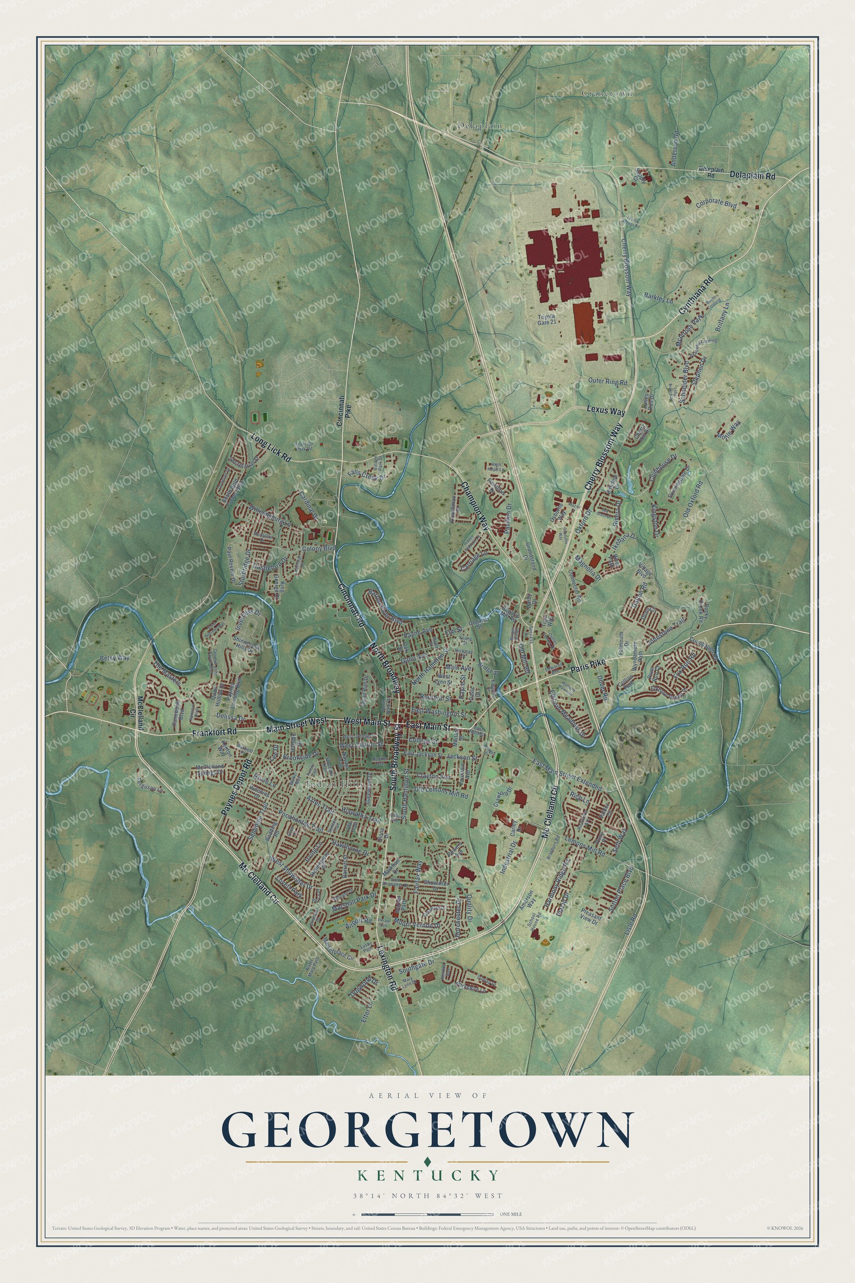
A new map of Georgetown, Kentucky, made in 2026 and printed to order on thick archival matte paper.
12" x 18" Archival Matte Print
A Map of Home. A Work of Art.
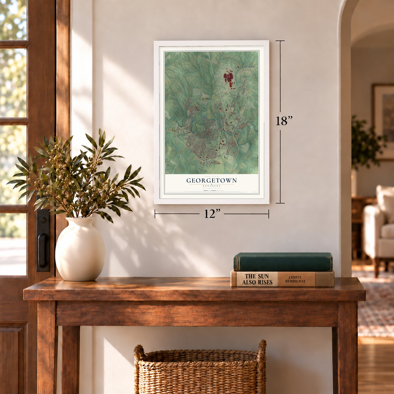
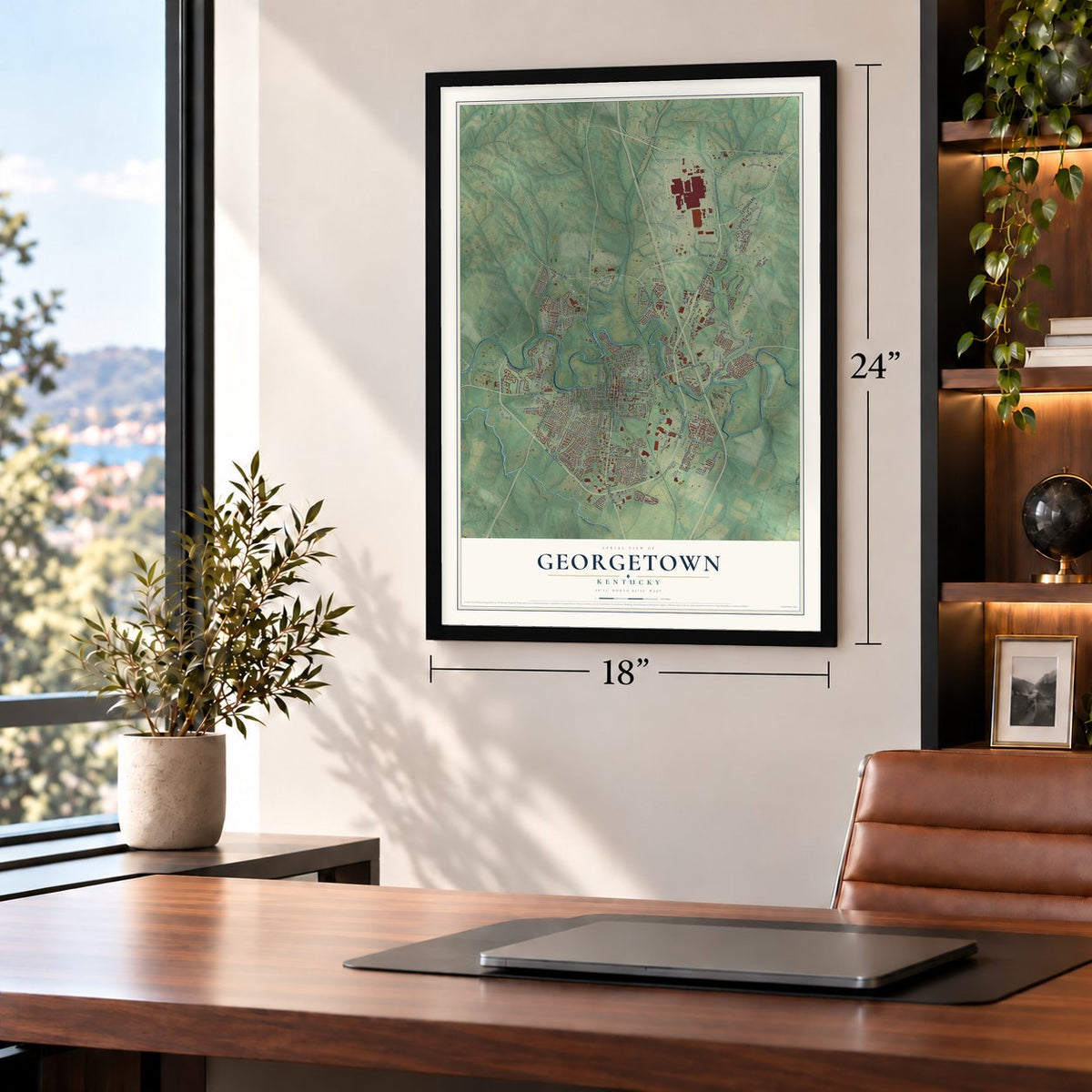
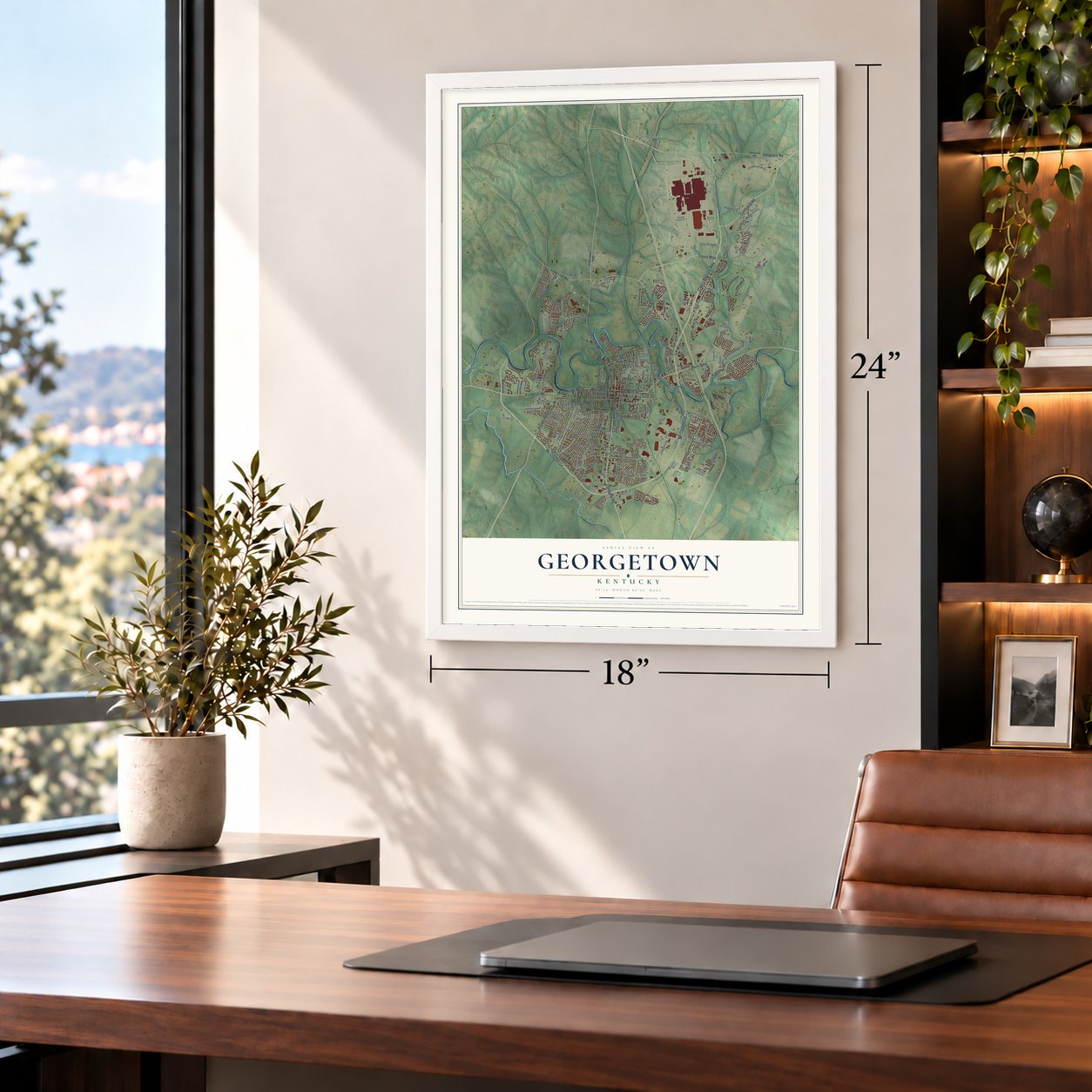
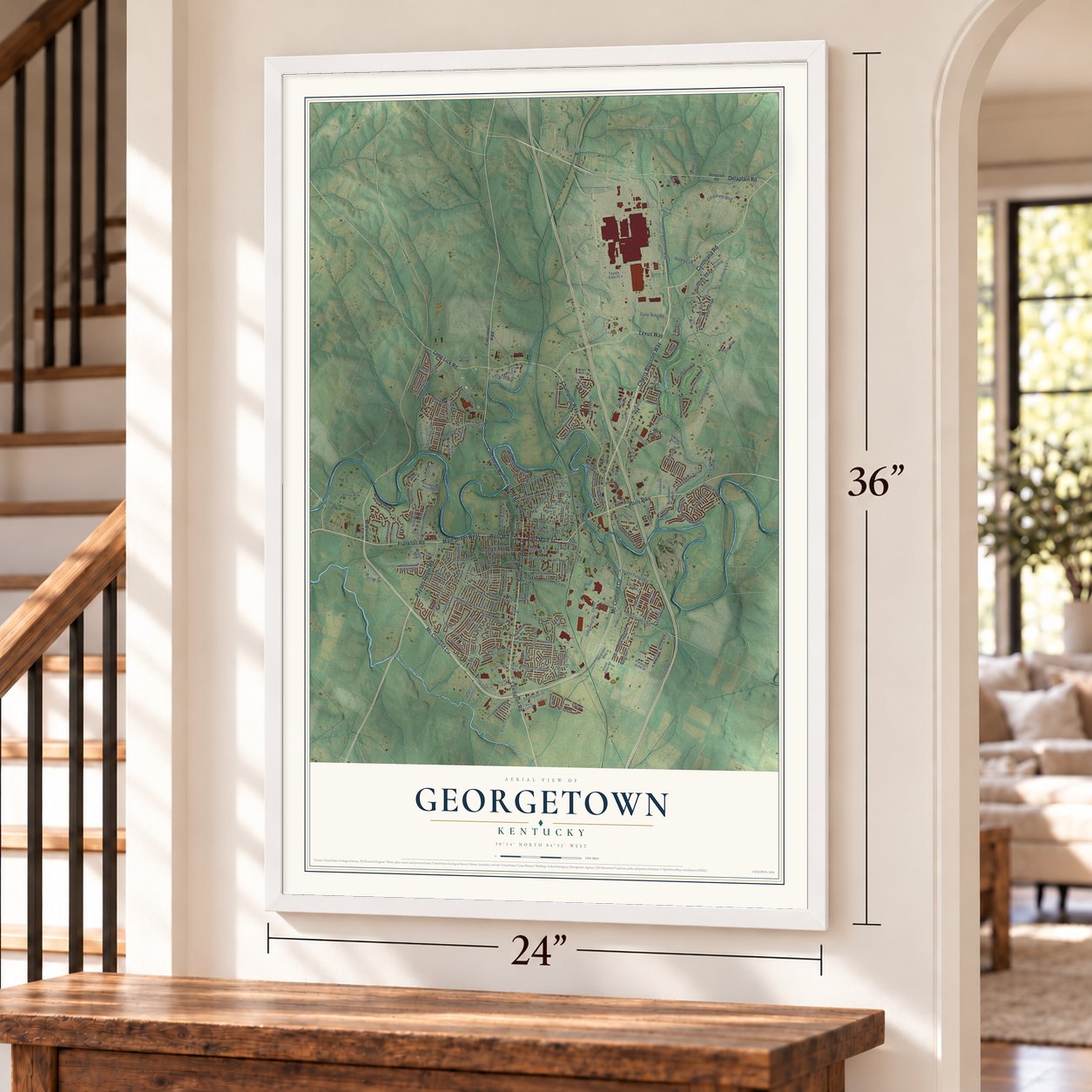
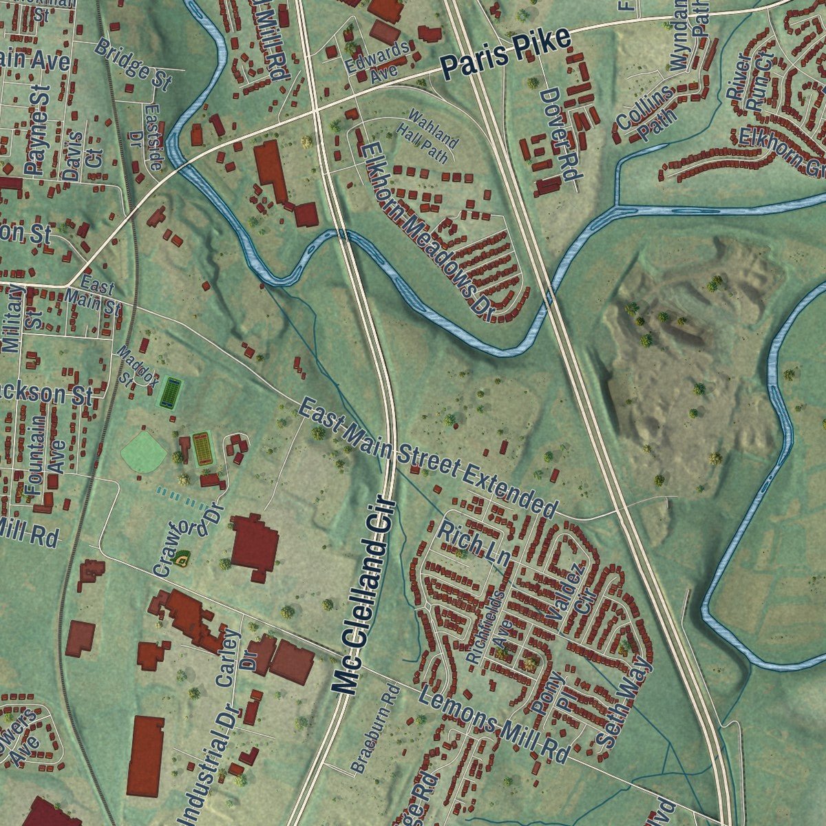
This beautifully detailed map of Georgetown, Kentucky was created in 2026 using aerial imagery combined with modern topographical, census, street and landmark data. It's a modern aerial view of Georgetown in Scott County, Kentucky, that combines modern data with a vintage aesthetic. Zoom in on the preview and look for your block.
Three ways to hang it
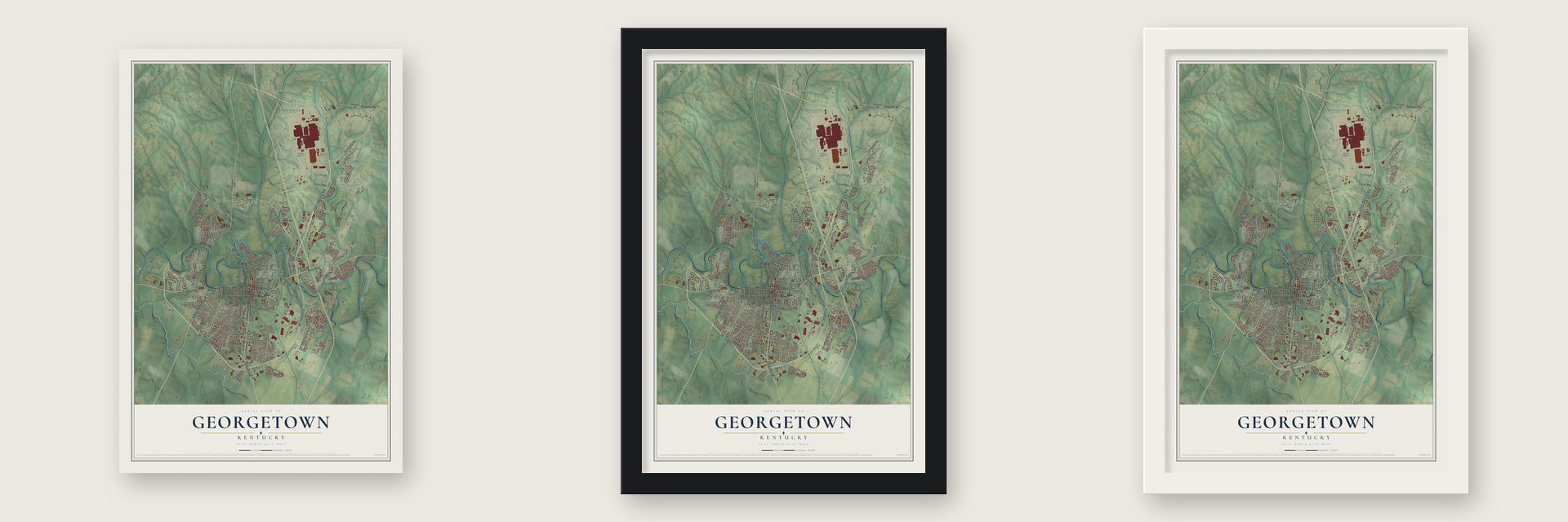
Unframed archival matte, a black wood frame or a white wood frame.
Up close
Real geography. Art worth displaying.
This map was created using accurate cartographic data and authoritative geographic sources, including the U.S. Geological Survey and the Census Bureau. The map brings together terrain, waterways, roads, and building detail. The majority of the streets are labeled, houses are accurately depicted, and the topography is derived from government sources. Combining local data with carefully composed color and shading leads to this beautifully detailed Georgetown artwork for your wall.
Rather than simply showing street outlines, we’ve included as many of the street names as we could reasonably fit on the map while keeping their names legible. Zoom in on the high resolution preview to see exactly what’s on the map. We truly set out to create a statement piece for anyone who loves Georgetown. So whether it’s for you, or a gift for someone you love, we hope this map of Georgetown brings back fond memories.
Read the story behind this map of Georgetown, Kentucky from 2026.

About Georgetown, Kentucky
Georgetown is a city of 37,086 people and the seat of Scott County, in the Bluegrass north of Lexington. In June 1774 Colonel John Floyd led surveyors here from Fincastle County, Virginia. He named the place Royal Spring and later received a claim of 1,000 acres for his military service, but he never lived on it. John McClellan then built McClellan's Station near the spring, and its settlers abandoned it after Native warriors struck on December 29, 1776.
Six years later, in 1782, the Baptist preacher Elijah Craig brought his congregation from Orange County, Virginia, and started a town he called Lebanon. The Virginia legislature incorporated it in 1784. Craig built mills on the Royal Spring Branch that made cloth and paper, opened a distillery in 1789 and founded the Rittenhouse Academy, which grew into Georgetown College. The town was renamed George Town for President George Washington in 1790. When Kentucky became a state in 1792 it was made the seat of the new Scott County, and the spelling changed to Georgetown in 1846.
- Raided by Morgan twiceKentucky stayed in the Union during the Civil War, but Confederate General John Hunt Morgan rode into Georgetown on two raids, first on July 15, 1862, and again on July 10, 1864.
- Hub of the whiskey routeAfter the war, three railroads met in Georgetown: the Frankfort & Cincinnati, the Louisville Southern and the Cincinnati Southern. People called the Frankfort & Cincinnati the "whiskey route," because it hauled so much of the area's bourbon to buyers on the Ohio River.
- Cardome, a home and a schoolCardome was the family home of James Fisher Robinson, who served as Kentucky's governor during the Civil War. The Catholic Sisters of Visitation opened a girls' academy there in 1896. It closed in 1987 and became the Cardome Centre, which served the city as a community center until the Catholic Diocese of Lexington bought it in 2019.
- Toyota arrives in 1985Toyota picked Georgetown in 1985 for the first plant in the United States that it owned outright. Production began in 1988, and the factory makes Camry, Lexus ES and RAV4 models. Its arrival set off the fastest growth the city has ever seen.
Find your street
Names on the Georgetown map
Every name below is printed on this map. Look for your street, your school, the park where you played, or the pond down the road.
Places and landmarks5
- Cranetown
- Delaplain
- Indian Hills
- McIntosh Park
- Lovett Park
Streets and roads212
- Mc Clelland Circle
- Cherry Blossom Way
- Paris Pike
- Cynthiana Road
- Frankfort Road
- South Broadway Street
- Lexington Road
- Main Street West
- East Main Street
- West Main Street
- Cincinnati Road
- Lexus Way
- Champion Way
- Delaplain Road
- Paynes Depot Road
- Long Lick Road
- North Broadway
- Clubhouse Drive
- East Main Street Extended
- Mount Vernon Drive
- Jackson Street
- Lemons Mill Road
- Industrial Drive
- Pavilion Drive
- Old Oxford Road
- Oxford Drive
- Seminole Trail
- Barkley Lane
- Colony Boulevard
- West Showalter Drive
Show all 212 streets
- Pocahontas Trail
- North Hamilton Street
- Williamsburg Lane
- Corporate Boulevard
- Inverness Drive
- Elkhorn Meadows Drive
- Hawthorne Drive
- College Street
- South Hamilton Street
- The Masters
- Aztec Trail
- Cardinal Drive
- Clayton Avenue
- Hiawatha Trail
- Outer Ring Road
- Fairfax Way
- Harmony Ridge Road
- Falls Creek Drive
- East Washington Street
- Payne Avenue
- Schneider Boulevard
- Old Lemons Mill Road
- Johnstone Trail
- Stephen Drive
- Sutton Place Boulevard
- Sturbridge Drive
- Bourbon Street
- Etter Lane
- Betsy Way
- Delissa Drive
- West Clinton Street
- Carriage Lane
- Dorchester Drive
- Gano Avenue
- Irving Lane
- Southgate Drive
- Old Mill Road
- Barren River Boulevard
- Marshall Park Drive
- Ikebana Drive
- Kingston Drive
- Quality Drive
- Seth Way
- Castleford Drive
- Brittany Lane
- Lisle Road
- Rivera Drive
- Anderson Road
- Fox Run Road
- Dalton Road
- Dover Road
- Placid Drive
- Main Avenue
- Magnolia Drive
- Dogwood Drive
- Brookside Drive
- Mollie Way
- Airport Road
- Payne Street
- Roxie Lane
- Rich Lane
- Lee Drive
- Elm Street
- McClelland Circle
- Cincinnati Pike
- East Jackson Street
- Connector Road
- Paynes Landing Boulevard
- Falmouth Drive
- Shinnecock Hills Drive
- Elkhorn Green Place
- Hemingway Place
- Quail Run Drive
- Pleasant View Drive
- Markham Drive
- Canewood Boulevard
- Sunningdale Drive
- Showalter Drive
- Military Street
- Quail Hollow Drive
- Cherry Hill Drive
- Berkshire Lane
- Degaris Mill Road
- Carley Drive
- Crawford Drive
- Redding Road
- Rocky Creek Road
- Wyndamere Path
- McClelland Springs Drive
- Coachman Place
- Secretariat Street
- Paul Revere Drive
- Dunn Circle
- South Bold Forbes Boulevard
- Ferguson Lane
- Crumbaugh Road
- Valdez Circle
- Marketplace Circle
- Market Path
- Village Boulevard
- Collins Path
- Osborne Way
- King George Drive
- Hutchins Drive
- Grandstand Drive
- Oak Street
- Bridge Street
- Gatewood Drive
- Tiger Way
- Birkdale Drive
- Darby Drive
- Toyota Gate 21
- Barrett Street
- Hillside Drive
- Lanes Run Drive
- Kenton Way
- Amerson Way
- Fountain Avenue
- Pavillion Drive
- Navajo Trail
- Degaris Street
- Powers Avenue
- River Run Court
- Slone Drive
- West Lynn Street
- Supply Court
- Ute Trail
- Davis Court
- Pony Place
- Rivet Path
- Deleplain Road
- Walker Way
- General John Payne Boulevard
- Scott Co Park Road
- Water Marq Path
- East Showalter Drive
- West College Street
- Richfields Avenue
- Shoshoni Trail
- Peaceful Landing
- Donerail Drive
- Village Park Drive
- Salinger Drive
- Mary Lynn Drive
- School House Road
- Lusby Path
- North Water Street
- Delaware Drive
- Maple Street
- Outlet Center Drive
- Braeburn Road
- Grisham Drive
- Hickman Street
- Warfield Place
- Eastside Drive
- Rucker Avenue
- Dunlap Drive
- Montclair Drive
- Seneca Trail
- Percy Place
- Success Drive
- Young Street
- Edwards Avenue
- High Hope Lane
- Clay Avenue
- Ellen Court
- Maddox Street
- Keelridge Drive
- Bueno Crossing
- Saint Andrews Way
- Morgan Mill Road
- Agincourt Boulevard
- Aberdine Way
- Osbourne Way
- Hidden Paddock Lane
- Wahland Hall Path
- Pueblo Trail
- Long Branch Drive
- Toyota Access Road
- Spy Glass Drive
- Vikram Path
- Frazier Court
Names are listed as they appear on the printed map. Zoom into the product photos to find them.
The art of mapping a place
How This Map Was Made
Real places. Remarkable detail. Discover the layers that turn geographic data into a map of home.

The view from above
Aerial imagery reveals the character of the land: woodland, open fields, and the patterns of a place.

The shape of the land
Elevation data brings hills, valleys, and subtle changes in the landscape into view.

The details of home
Roads, waterways, and building footprints come together to make the map feel unmistakably local.

Geography becomes art
Considered color, shading, and typography bring the layers together in a map made for your wall.


Process illustrated with Mendon, Massachusetts. Aerial imagery: USDA NAIP. Terrain: USGS 3D Elevation Program. Map details and finished artwork: KNOWOL.
The Details
About This Print
Choose an archival matte print, or a black or white Ayous wood frame. The archival matte print is unframed.
Select your size and finish above to see the matching product image and price.
Materials & Craftsmanship
A contemporary map with the character of a classic atlas, printed on archival matte paper. Optional frames are made from Ayous wood.
Your printed map does not include the watermark shown in the full-map preview.
Shipping & Delivery
Free shipping within the United States. Every print is made to order in the USA.
Buying a gift? Add a note in your cart and we'll include it. We never put prices in the package.
Prints ship within 2 to 3 business days. Allow 7 to 10 days total from ordering for delivery. Timing may vary during holidays or periods of high order volume.
Read our shipping policy.
Returns and damaged prints
Each print is made to order. Change-of-mind refunds are not available after production.
If your print arrives damaged, misprinted or incorrect, contact support@knowol.com within 30 days of receiving it. Include your order number, photos and a description of the issue.
Read our full refund and replacement policy. For questions about your order, email support@knowol.com.
Find your town
Looking for another city?
Find a map of home in our Kentucky collection.
Nearby
Maps of towns near Georgetown
Know someone from one of these towns? Their map makes a great gift.
 Stamping Ground
, Kentucky
From $39.99See the map
 Sadieville
, Kentucky
From $39.99See the map
 Midway
, Kentucky
From $39.99See the map
More maps nearby: Paris, Cynthiana, Lexington-Fayette, Corinth and Versailles.