
Search for another town





Free U.S. delivery 7 to 10 days after you order
Godfrey, Illinois Map Art
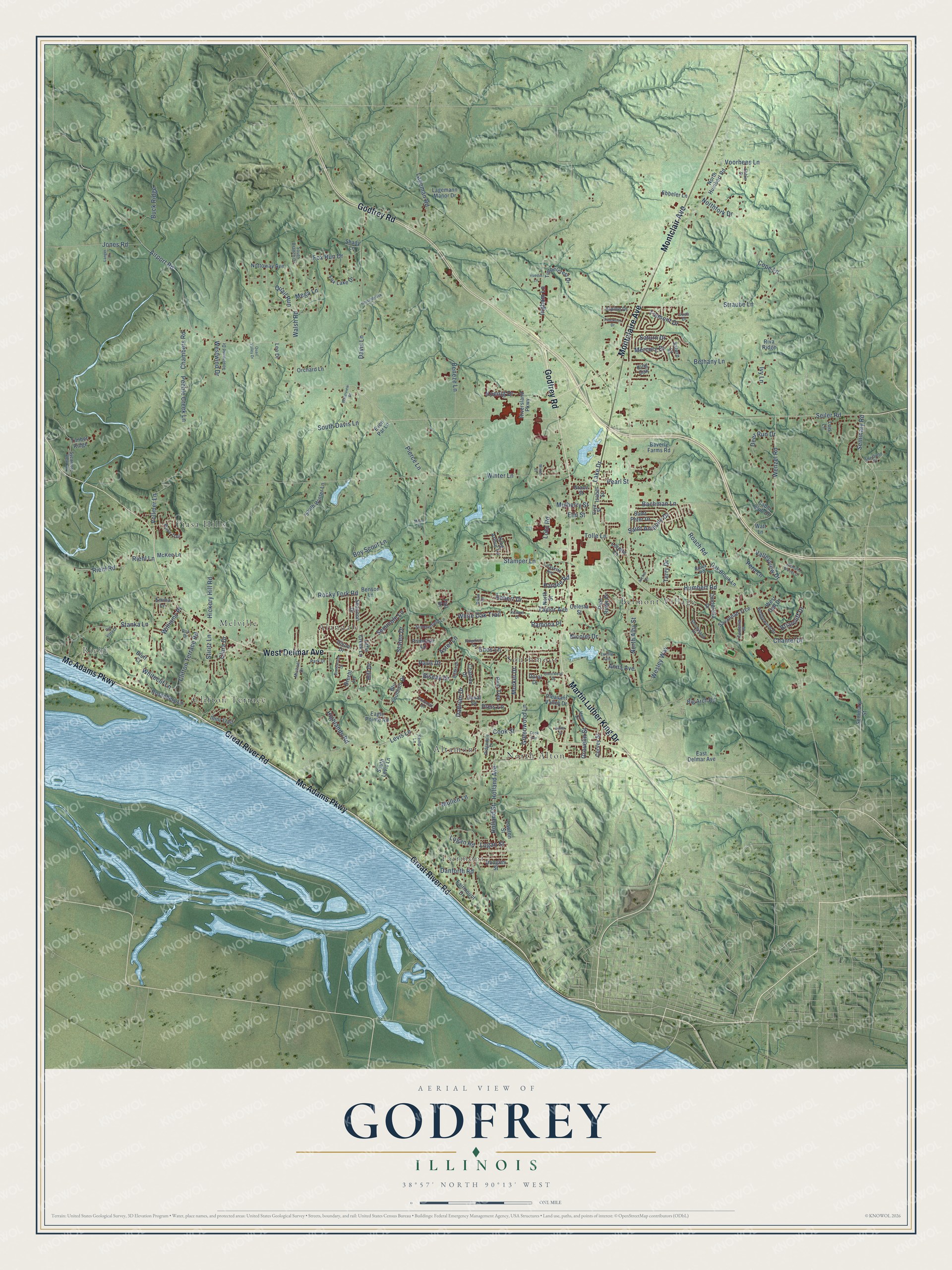
A new map of Godfrey, Illinois, made in 2026 and printed to order on thick archival matte paper.
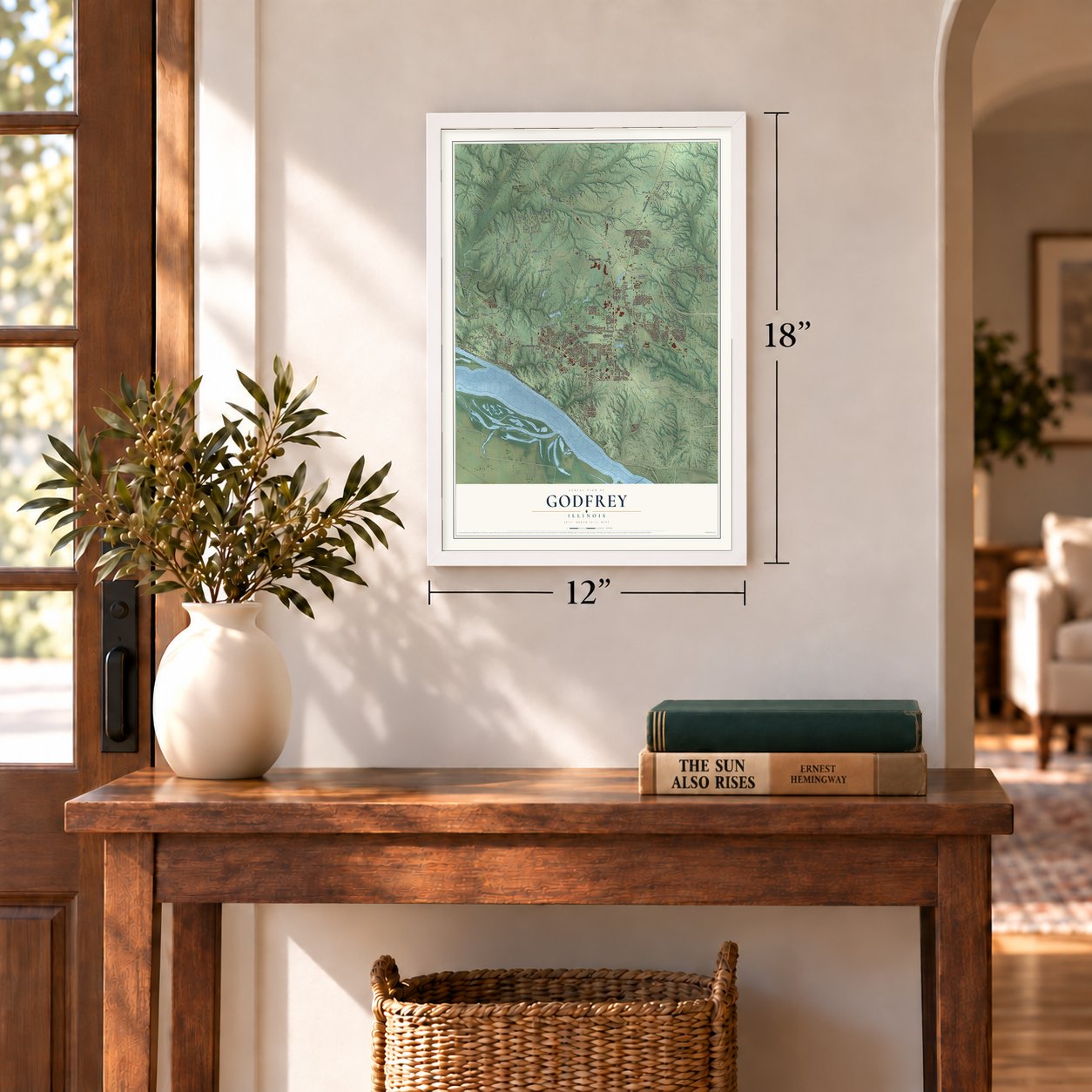
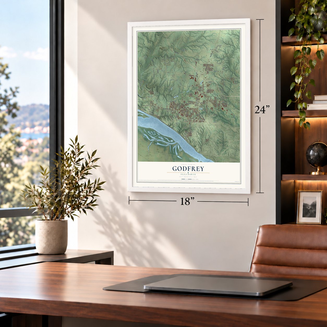
12" x 18" Archival Matte Print
A Map of Home. A Work of Art.
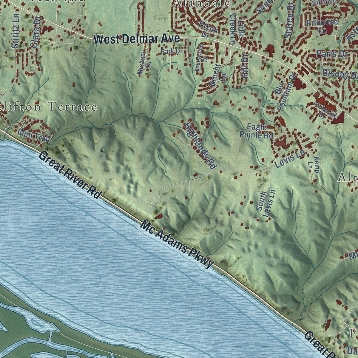
Explore Godfrey, Illinois from a whole new perspective. Created using aerial imagery and detailed geographic data, this map captures Godfrey building by building, with labeled streets, familiar landmarks, and shaded topographical relief that highlights the natural contours of the landscape.
Combining modern data with the timeless character of a vintage atlas, this map is just as interesting up close as it is beautiful on the wall. Whether you grew up in Godfrey, spent memorable years there, or call it home today, this unique map is a great way to celebrate a place that means something to you. Zoom in on the preview to look for your street, and then order a print to put your memories on the wall.
Three ways to hang it
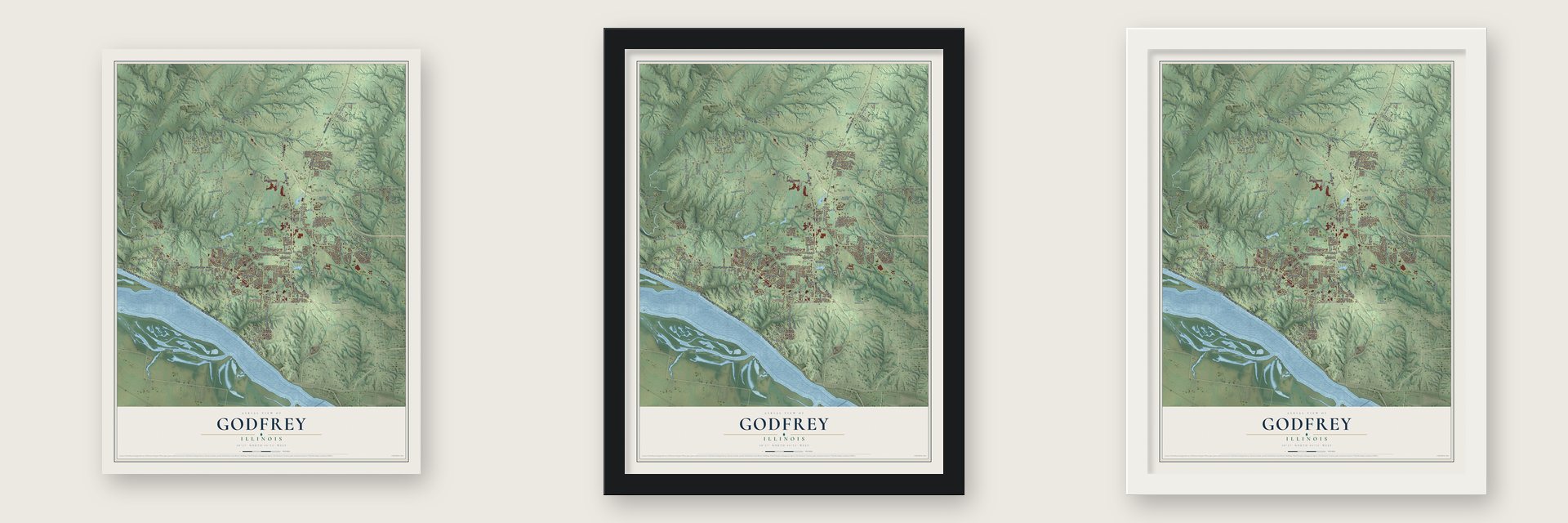
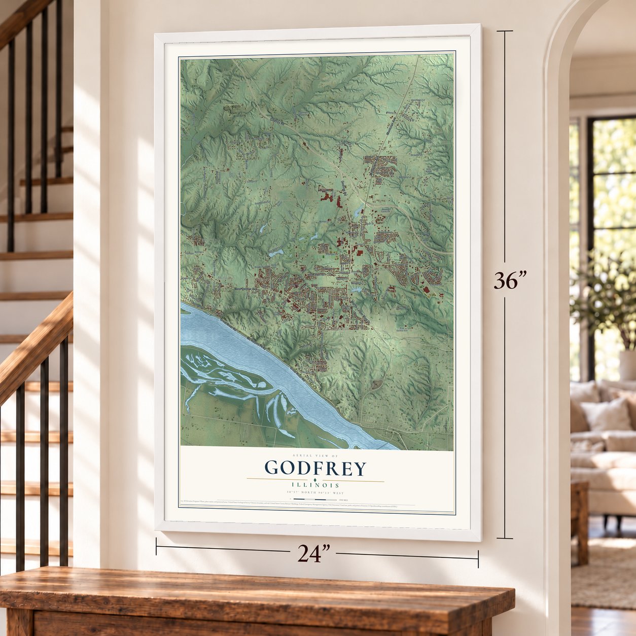
Unframed archival matte, a black wood frame or a white wood frame.
Up close
Geography Worth Displaying
This map was created using accurate cartographic data and authoritative geographic sources, including the U.S. Geological Survey and the Census Bureau. The map brings together terrain, waterways, roads, and building detail. The majority of the streets are labeled, houses are accurately depicted, and the topography is derived from government sources. Combining local data with carefully composed color and shading leads to this beautifully detailed Godfrey artwork for your wall.
Rather than simply showing street outlines, we’ve included as many of the street names as we could reasonably fit on the map while keeping their names legible. Zoom in on the high resolution preview to see exactly what’s on the map. We truly set out to create a statement piece for anyone who loves Godfrey. So whether it’s for you, or a gift for someone you love, we hope this map of Godfrey brings back fond memories.
Read the story behind this map of Godfrey, Illinois from 2026.

About Godfrey, Illinois
In northwestern Madison County, Godfrey extends to the Mississippi River and a line of prominent limestone bluffs. The village combines residential development, agriculture, and small businesses. Its history is closely associated with Captain Benjamin Godfrey and the school for women he helped establish.
- Population in 2020The 2020 census recorded 17,825 residents in Godfrey.
- Named for a FounderCaptain Benjamin Godfrey arrived in 1832 and contributed land and money toward establishing a college for women.
- Monticello's LegacyFounded in 1838, Monticello Female Seminary later became Monticello College, whose campus was sold in 1970 to establish Lewis and Clark Community College.
- River Bluff LandscapeLimestone bluffs about 200 feet high rise along the Mississippi River at the village's southwestern edge.
- Village AreaGodfrey covers 36.4 square miles, including 34.4 square miles of land and 2.0 square miles of water.
Find your street
Names on the Godfrey map
Every name below is printed on this map. Look for your street, your school, the park where you played, or the pond down the road.
Places and landmarks10
- Riehl
- Fairmont
- Alandale
- Altamont
- Belmont Village
- Clifton Terrace
- Melville
- North Alton
- Piasa Hills
- Southmoor
Streets and roads197
- Great River Road
- Mc Adams Parkway
- Godfrey Road
- West Delmar Avenue
- Montclair Avenue
- Montclaire Avenue
- Martin Luther King Drive
- Humbert Road
- Wenzel Road
- Danforth Road
- Logan Road
- Airport Road
- Ingham Lane
- Seminary Road
- Pierce Lane
- Paris Drive
- Lccc Road
- Preis Lane
- Winter Lane
- Seiler Road
- Rocky Fork Road
- Davis Lane
- Bethany Lane
- Levis Lane
- Stanka Lane
- Straube Lane
- Stamper Lane
- Boy Scout Lane
- North Alby Street
- Roach Road
Show all 197 streets
- Bachman Lane
- Riehl Lane
- Riehl Road
- Greenwood Lane
- Vollmer Lane
- Clifton Terrace Road
- Taylor Avenue
- Enos Lane
- Hickory Hill Road
- Walsh Road
- Holland Avenue
- Holland Street
- South Davis Lane
- Stiritz Lane
- Lageman Road
- Mullen Lane
- Jones Road
- Voorhees Lane
- Buck Ridge
- Saint Anthony Drive
- Fox Run Drive
- Beneze Lane
- Mercury Drive
- Chantel Drive
- Chambers Road
- Briarcliff Drive
- Biscay Drive
- Deer Run Drive
- Pearl Street
- Tolle Lane
- Pebble Creek Lane
- Robert Drive
- White Oak Trail
- Tremont Drive
- Westwind Drive
- Cook Street
- Williams Place
- Morkel Drive
- Dadrian Drive
- Seminole Lane
- Wesley Way
- Whiteclif Lane
- Valleyview Drive
- Cope Lane
- Saturn Drive
- Staten Drive
- Mulberry Street
- Northfork Drive
- Koenig Drive
- Ivy Lane
- Highlands Road
- Lake Drive
- Elm Street
- Clara Drive
- Nicolet Drive
- Quail Run
- Ramona Place
- Peru Lane
- Grovelin Street
- Pardee Road
- Hill Drive
- Anna Avenue
- Terry Drive
- Logan Street
- Aster Lane
- Mega Lane
- Fairmount Drive
- Seminary Street
- North Humbert Road
- Beverly Farms Road
- Timber Ridge
- Timbercrest Drive
- Fox Lake Drive
- Nottoway Avenue
- McKee Lane
- Ebbeler Lane
- Dixon Drive
- Doral Drive
- Savannah Trce
- Shannon Drive
- Pine Ridge Drive
- Illini Trail
- South Winter Lane
- Brecht Lane
- Eagle Pointe Road
- South Levis Lane
- East Delmar Avenue
- Chateau Drive
- Rosenberg Lane
- Curvey Street
- Oak Brook Lane
- Cinderella Drive
- Lagemann Manor Drive
- Blu Fountain Drive
- Cabin Club Drive
- Big Arch Road
- Saint Peter Drive
- West Dell Drive
- King Arthur Lane
- Orchard Lane
- Isabel Street
- Lawton Street
- Riversland Parkway
- Duval Drive
- Primrose Lane
- Douglas Street
- Celesta Street
- Little Creek Lane
- Pleasant Valley Drive
- Alpine Drive
- Pear Tree
- Even Par Lane
- Lois Lane
- Loretta Lane
- Benson Lane
- Emma Lane
- North Street
- Grace Street
- Saturn Court
- Leo Drive
- Watt Lane
- Shady Lane
- King Oak
- Fall Drive
- Riva Ridge
- Bluff Court
- Storeyland Drive
- Wedgewood Drive
- Piasa Trail
- Summerfield Lane
- Hand Drive
- Lafayette Avenue
- Southwind Drive
- Sheffield Place
- Camellia Place
- Sycamore View Lane
- Michael Drive
- South Branch Drive
- Kemp Lane
- Colonial Drive
- Ridgedale Drive
- Brook Road
- Luella Avenue
- Ebbie Drive
- Eiffel Drive
- Park Drive
- Ron Drive
- Josh Drive
- Brian Drive
- Boyd Street
- Richland Woods Drive
- Quail Valley Drive
- Southwood Drive
- Herschbrook Lane
- Crestwood Drive
- Waterview Street
- Ridgefield Drive
- Pinewood Drive
- Langer Lane
- Rio Vista Drive
- Richard Drive
- Cook Avenue
- Ruedin Lane
- Archer Drive
- Keller Street
- Winter Court
- Mead Place
Names are listed as they appear on the printed map. Zoom into the product photos to find them.
The art of mapping a place
How This Map Was Made
Real places. Remarkable detail. Discover the layers that turn geographic data into a map of home.

The view from above
Aerial imagery reveals the character of the land: woodland, open fields, and the patterns of a place.

The shape of the land
Elevation data brings hills, valleys, and subtle changes in the landscape into view.

The details of home
Roads, waterways, and building footprints come together to make the map feel unmistakably local.

Geography becomes art
Considered color, shading, and typography bring the layers together in a map made for your wall.


Process illustrated with Mendon, Massachusetts. Aerial imagery: USDA NAIP. Terrain: USGS 3D Elevation Program. Map details and finished artwork: KNOWOL.
The Details
About This Print
Choose an archival matte print, or a black or white Ayous wood frame. The archival matte print is unframed.
Select your size and finish above to see the matching product image and price.
Materials & Craftsmanship
A contemporary map with the character of a classic atlas, printed on archival matte paper. Optional frames are made from Ayous wood.
Your printed map does not include the watermark shown in the full-map preview.
Shipping & Delivery
Free shipping within the United States. Every print is made to order in the USA.
Buying a gift? Add a note in your cart and we'll include it. We never put prices in the package.
Prints ship within 2 to 3 business days. Allow 7 to 10 days total from ordering for delivery. Timing may vary during holidays or periods of high order volume.
Read our shipping policy.
Returns and damaged prints
Each print is made to order. Change-of-mind refunds are not available after production.
If your print arrives damaged, misprinted or incorrect, contact support@knowol.com within 30 days of receiving it. Include your order number, photos and a description of the issue.
Read our full refund and replacement policy. For questions about your order, email support@knowol.com.
Find your town
Looking for another city?
Find a map of home in our Illinois collection, or any town in the country.
Nearby
Maps of towns near Godfrey
Know someone from one of these towns? Their map makes a great gift.
 Alton
Alton, Illinois
From $39.99See the map
 Elsah
Elsah, Illinois
From $39.99See the map
 Brighton
, Illinois
From $39.99See the map
More maps nearby: East Alton, Rosewood Heights, Wood River, Bethalto and Moro.