
Search for another town

Free U.S. delivery 7 to 10 days after you order
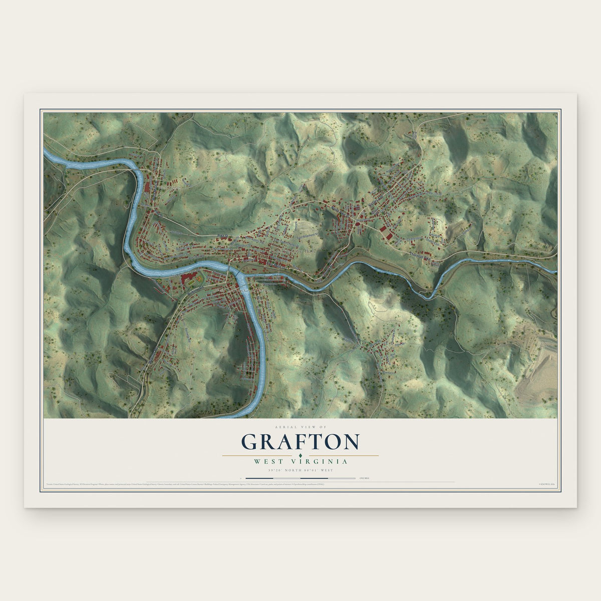
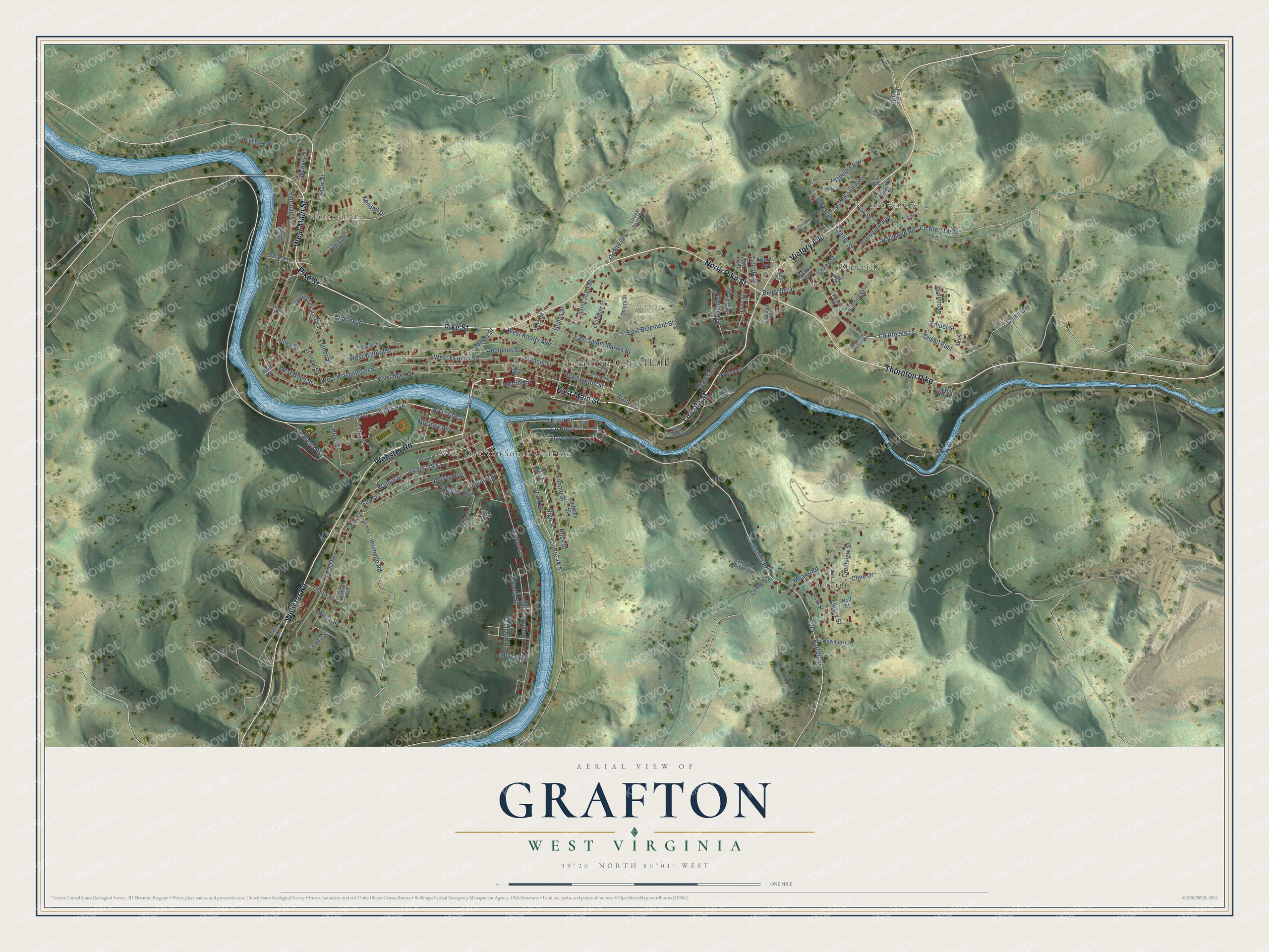
Grafton, West Virginia Map Art
Building by building, with labeled streets and shaded relief.
12" x 18" Archival Matte Print
A Map of Home. A Work of Art.
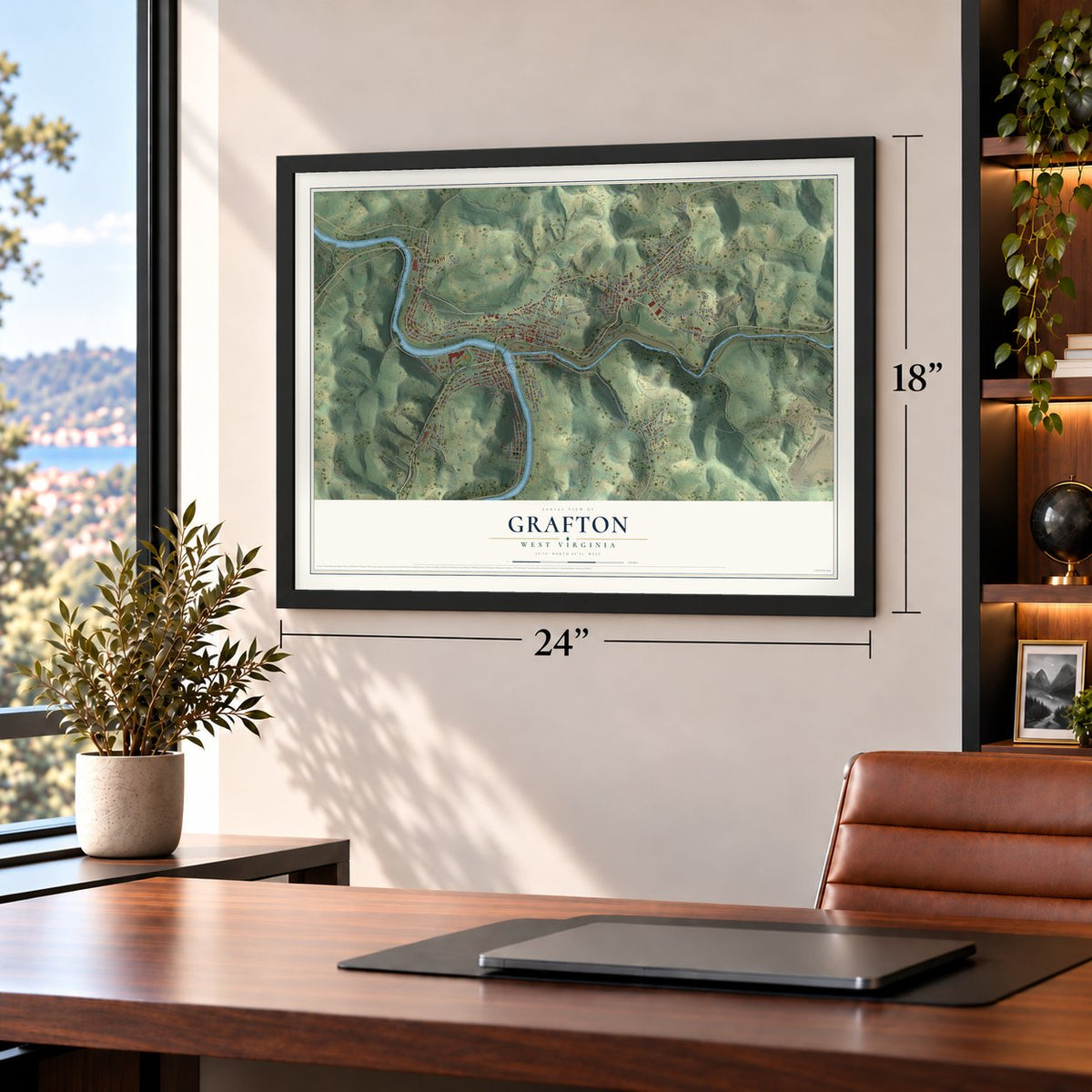
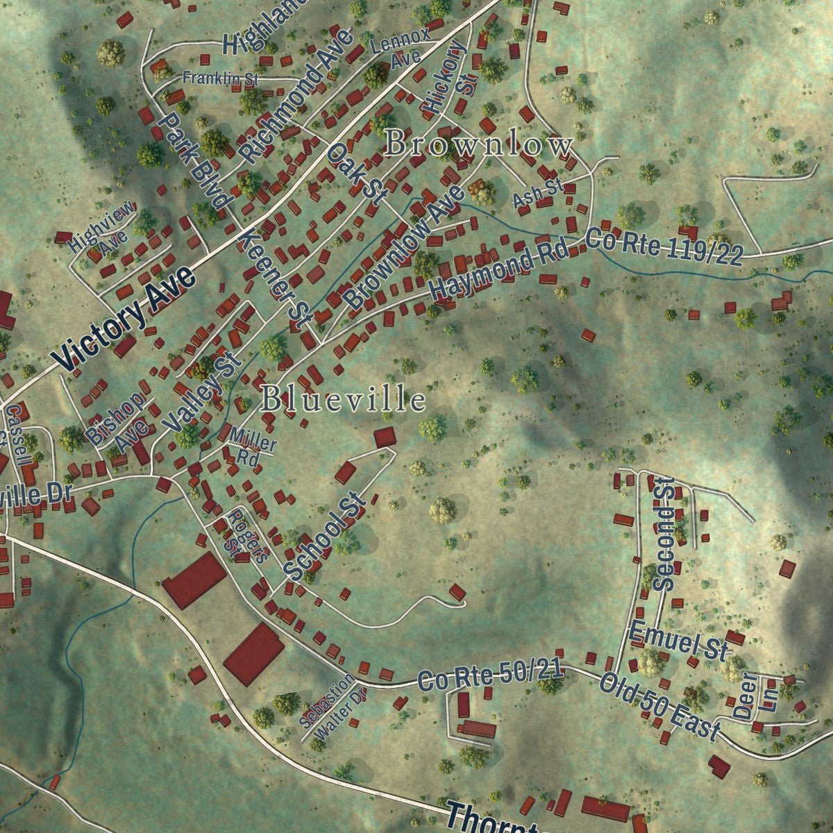
Explore Grafton, West Virginia from a whole new perspective. Created using aerial imagery and detailed geographic data, this map captures Grafton building by building, with labeled streets, familiar landmarks, and shaded topographical relief that highlights the natural contours of the landscape.
Combining modern data with the timeless character of a vintage atlas, this map is just as interesting up close as it is beautiful on the wall. Whether you grew up in Grafton, spent memorable years there, or call it home today, this unique map is a great way to celebrate a place that means something to you. Zoom in on the preview to look for your street, and then order a print to put your memories on the wall.
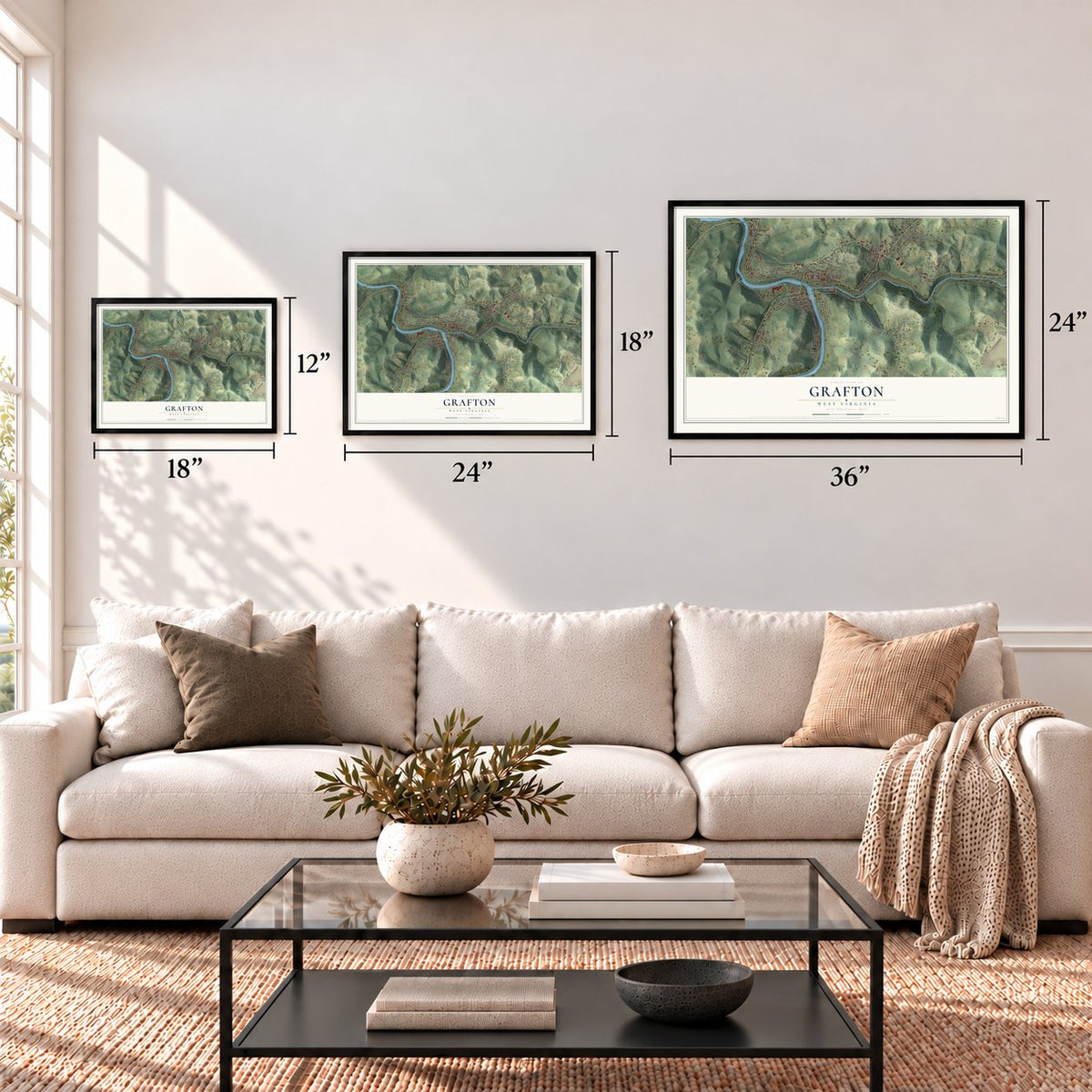
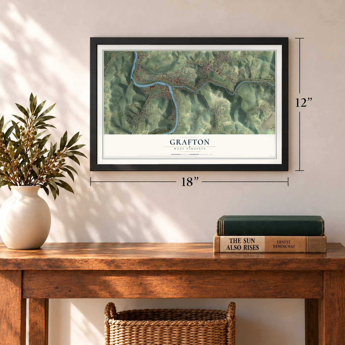
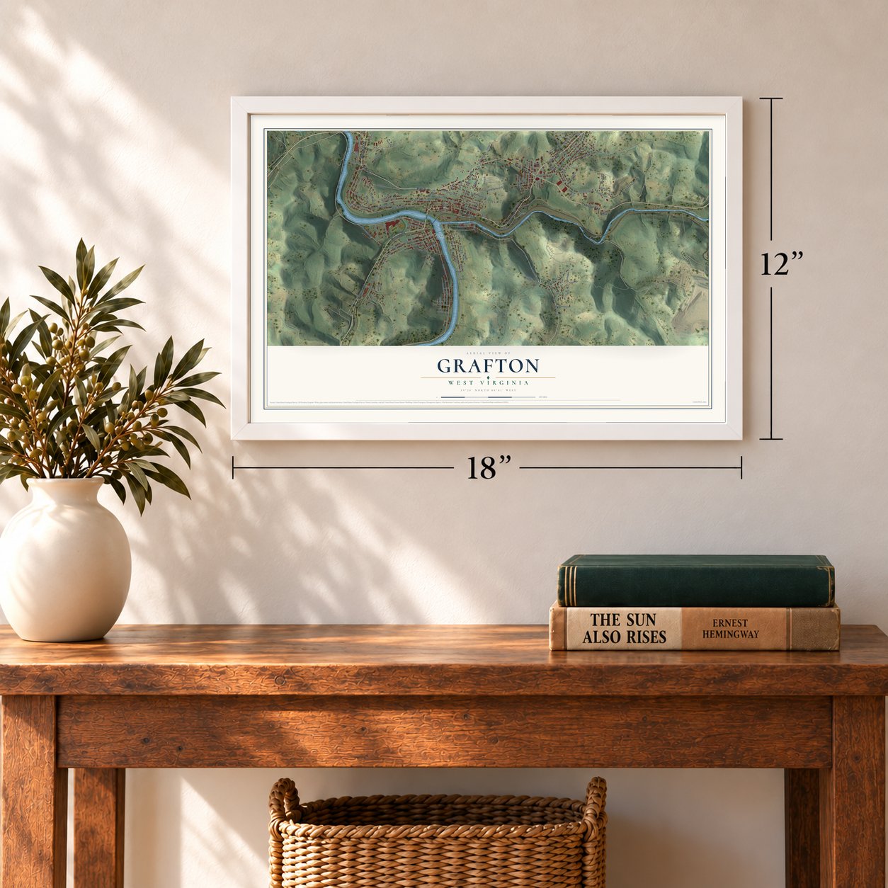
Three ways to hang it
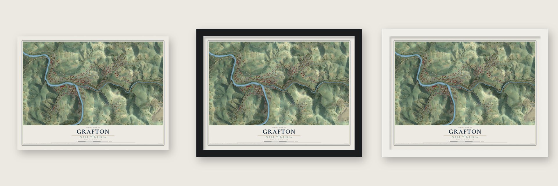
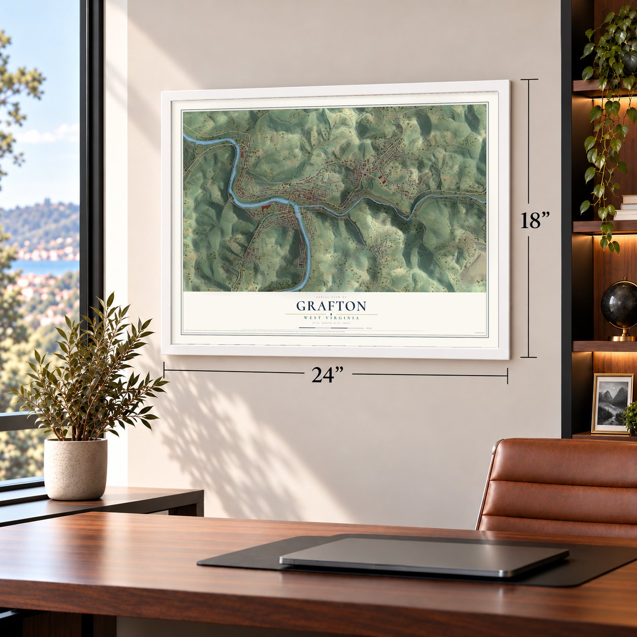
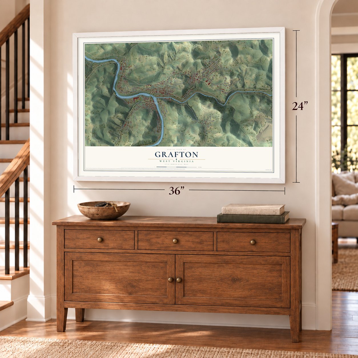
Unframed archival matte, a black wood frame or a white wood frame.
Up close
Geography Worth Displaying
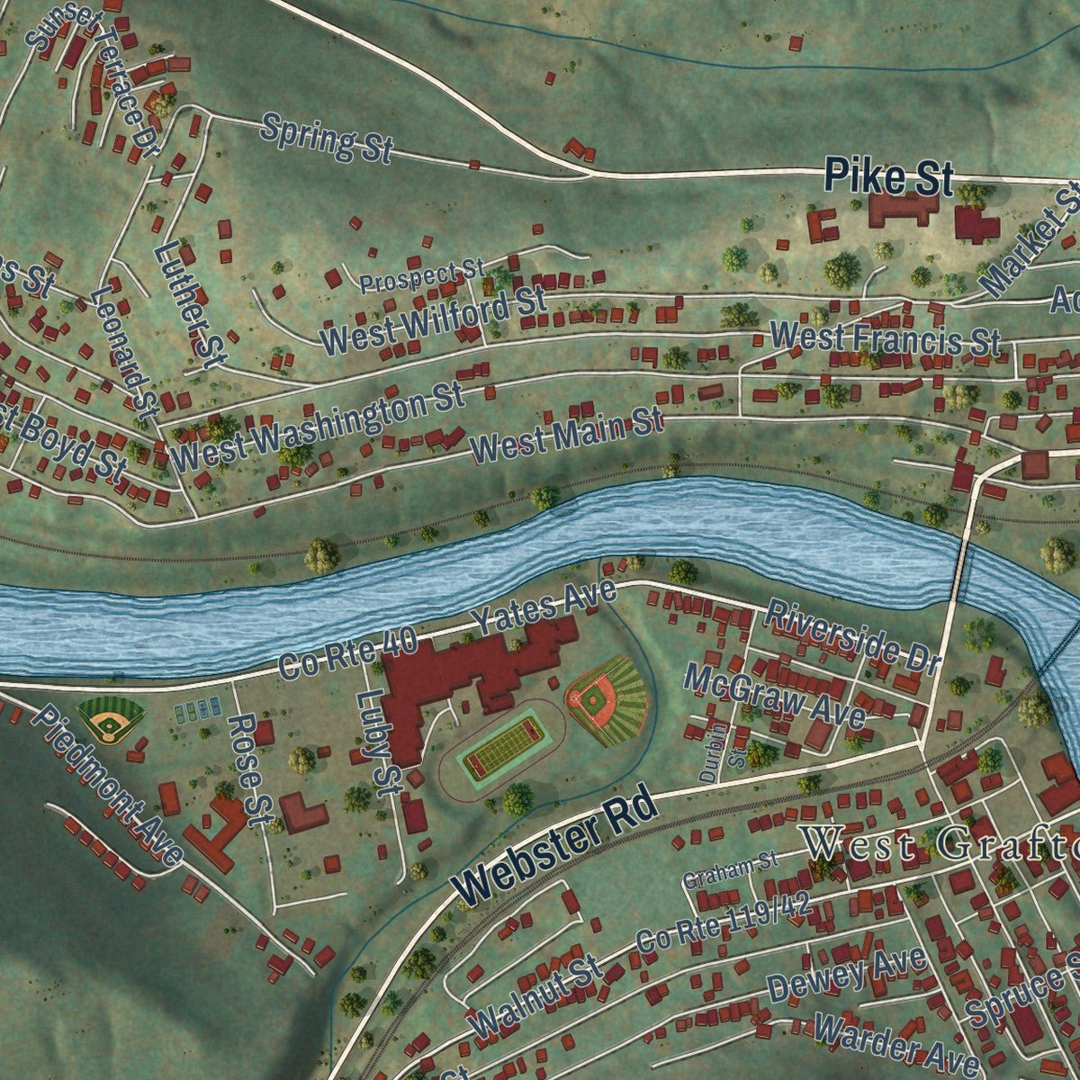
This map was created using accurate cartographic data and authoritative geographic sources, including the U.S. Geological Survey and the Census Bureau. The map brings together terrain, waterways, roads, and building detail. The majority of the streets are labeled, houses are accurately depicted, and the topography is derived from government sources. Combining local data with carefully composed color and shading leads to this beautifully detailed Grafton artwork for your wall.
Rather than simply showing street outlines, we’ve included as many of the street names as we could reasonably fit on the map while keeping their names legible. Zoom in on the high resolution preview to see exactly what’s on the map. We truly set out to create a statement piece for anyone who loves Grafton. So whether it’s for you, or a gift for someone you love, we hope this map of Grafton brings back fond memories.
Read the story behind this map of Grafton, West Virginia from 2026.
Find your street
Names on the Grafton map
Every name below is printed on this map. Look for your street, your school, the park where you played, or the pond down the road.
Places and landmarks8
- Grafton City Hall
- Brownlow
- Lucretia
- Blueville
- Fetterman
- Bluemont Cemetery
- South Grafton
- West Grafton
Streets and roads134
- West Main Street
- East Main Street
- Pike Street
- Lincoln Street
- Victory Avenue
- Thornton Pike
- Webster Road
- North Pike Street
- County Route 40
- Riverside Drive
- High Street
- Grand Street
- Walter Street
- Barrett Street
- Yates Avenue
- County Route 9
- Piedmont Avenue
- Knottsville Road
- Beech Street
- Front Street
- Route 1
- Ona Street
- Walnut Street
- Shaw Street
- West Francis Street
- Luther Street
- Rochelle Road
- Keener Street
- Old 50 East
- Market Street
Show all 134 streets
- Park Boulevard
- Francis Street
- Oak Street
- West Wilford Street
- Beverlin Alley
- West Washington Street
- West Boyd Street
- Blueville Drive
- Maple Avenue
- Pearl Street
- Haymond Road
- East Bluemont Street
- Railroad Street
- County Route 22
- Fannie Street
- Saint John Street
- Dewey Avenue
- Ross Street
- Addison Street
- Gay Street
- Means Road
- Adolphus Street
- Percy Street
- Spring Street
- Warder Avenue
- Latrobe Street
- West Knotts Avenue
- East Saint Charles Street
- Linsey Street
- Brownlow Avenue
- Thayer Avenue
- Valley Street
- School Street
- Jayla Drive
- Second Street
- Highland Avenue
- Richmond Avenue
- Crestview Street
- McGraw Avenue
- Orchard Street
- Florence Street
- Jones Street
- Spruce Street
- Luby Street
- Washington Street
- Rose Street
- Dobbs Street
- Kendall Drive
- Moritz Street
- Weaver Street
- Gump Drive
- Cline Drive
- Emuel Street
- Murray Street
- Jeffries Avenue
- Calvary Lane
- Lucas Dairy Road
- Sunset Terrace Drive
- County Route 44
- Emery Street
- Leonard Street
- Hickory Street
- Thayer Street
- Bishop Avenue
- Luzadder Street
- West Pike Street
- Sycamore Street
- Jewell Park Road
- Love Avenue
- Morgan Ridge Road
- Bowman Lane
- Stuart Street
- Liberty Street
- Phillips Avenue
- Ruth Street
- Wolf Street
- Harman Avenue
- Monroe Street
- Third Street
- Ethel Street
- Steel Street
- Jeffries Street
- Ward Avenue
- Rock Street
- Deer Lane
- Bridge Street
- Prospect Street
- Lennox Avenue
- Cassell Street
- Lee Alley
- Highview Avenue
- Rogers Street
- Miller Road
- Ash Street
- Gordon Street
- Mulligan Street
- Graham Street
- Rochelle
- Franklin Street
- East Long Street
- Durbin Street
- Anne Street
- Sebastion Walter Drive
- Nuzum Street
Names are listed as they appear on the printed map. Zoom into the product photos to find them.
About Grafton, West Virginia
Grafton is a city of 4,722 people and the county seat of Taylor County, built where Three Fork Creek runs into the Tygart Valley River. One of the first settlers was James Current, a Scots-Irish immigrant and Revolutionary War veteran, who by family tradition swapped a gray horse for 1,300 acres here. In 1833 John Wolverton Blue, who was building the Northwestern Turnpike, spent a night with the Currents, and after the road opened in 1834 the neighborhoods of Blueville and Valley Bridge began to grow.
The railroad made the town. In 1847 Virginia let the Baltimore and Ohio extend its line to Wheeling, and Congressman Thomas S. Haymond of Marion County quietly added a clause that forced the tracks to cross the Tygart within three miles of where Three Fork Creek enters it. He wanted the line to pass through Fairmont, but Grafton gained too, becoming the junction for a branch to Morgantown. The line was finished on January 11, 1852, when only eight families lived here, and Grafton Junction boomed until the town was chartered on March 15, 1856, with 606 people.
“Mr. Blue, a Virginian of the old school, was greatly moved...and...an offer of $300 for 900 acres...and their ruined home...was quickly accepted.”
- The first soldier killed, 1861On the evening of May 22, 1861, rival factions clashed in Fetterman, now part of Grafton, and Thornsbury Bailey Brown was killed, the first soldier to die in the Civil War. Confederate troops took the town on May 25, then pulled out after three days and marched to Philippi. Both of West Virginia's national cemeteries are in Grafton.
- The Grafton GuardsMost townspeople, many of them immigrants hired by the railroad, backed the Union in 1861. The local company they formed, the Grafton Guards, went on to serve as Company B in the 2nd West Virginia Infantry.
- County seat in 1878Grafton took over as county seat from Pruntytown in 1878. Ten years later a huge flood swept away the covered bridge Blue had built at Fetterman in 1834. Most of today's town went up between 1890 and 1930, led by the financier John T. McGraw, who built his bank, a row of Main Street buildings and the streetcar line.
- Where Mother's Day beganGrafton is where Mother's Day began, on May 10, 1908, and the International Mother's Day Shrine stands in the city. Grafton was also one of the earliest American cities to observe Memorial Day.
- All-America City, 1962The Carr China Plant closed in the early 1950s and the Hazel Atlas Glass Plant late in the decade, each costing hundreds of jobs. In 1958 the women of Grafton marched down Main Street in a parade to bring in new employers, and the country took notice. A maker of plastic baby toys chose Grafton, and in 1962 the National Civic League named it an All-America City, the smallest winner that year.
Keep exploring West Virginia
Grafton is one of 514 West Virginia towns we've mapped. Every dot on the map is a print of its own.
The search covers every state, West Virginia first.
Near Grafton
Order 2 or more town maps and save 10%. Shown in the size and finish you picked above, so they hang as a set.
- Flemington 12" x 18" / Archival Matte Print $39.99
- Newburg 12" x 18" / Archival Matte Print $39.99
- Galloway 12" x 18" / Archival Matte Print $39.99
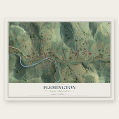
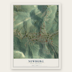
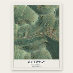
More maps nearby: White Hall, Pleasant Valley, Fairmont, Fellowsville and Kasson.
The art of mapping a place
How This Map Was Made
Real places. Remarkable detail. Discover the layers that turn geographic data into a map of home.

The view from above
Aerial imagery reveals the character of the land: woodland, open fields, and the patterns of a place.

The shape of the land
Elevation data brings hills, valleys, and subtle changes in the landscape into view.

The details of home
Roads, waterways, and building footprints come together to make the map feel unmistakably local.

Geography becomes art
Considered color, shading, and typography bring the layers together in a map made for your wall.


Process illustrated with Mendon, Massachusetts. Aerial imagery: USDA NAIP. Terrain: USGS 3D Elevation Program. Map details and finished artwork: KNOWOL.
The Details
About This Print
Choose an archival matte print, or a black or white Ayous wood frame. The archival matte print is unframed.
Select your size and finish above to see the matching product image and price.
Materials & Craftsmanship
A contemporary map with the character of a classic atlas, printed on archival matte paper. Optional frames are made from Ayous wood.
Your printed map does not include the watermark shown in the full-map preview.
Shipping & Delivery
Free shipping within the United States. Every print is made to order in the USA.
Buying a gift? Add a note in your cart and we'll include it. We never put prices in the package.
Prints ship within 2 to 3 business days. Allow 7 to 10 days total from ordering for delivery. Timing may vary during holidays or periods of high order volume.
Read our shipping policy.
Returns and damaged prints
Each print is made to order. Change-of-mind refunds are not available after production.
If your print arrives damaged, misprinted or incorrect, contact support@knowol.com within 30 days of receiving it. Include your order number, photos and a description of the issue.
Read our full refund and replacement policy. For questions about your order, email support@knowol.com.