
Search for another town



Free U.S. delivery 7 to 10 days after you order
Greenwood, Indiana Map Art
Building by building, with labeled streets and shaded relief.
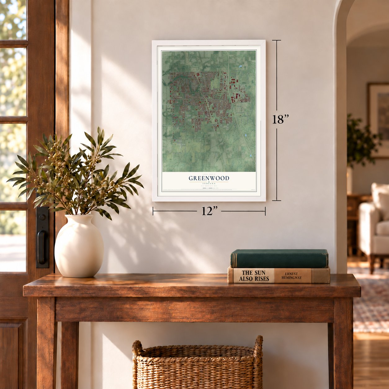
12" x 18" Archival Matte Print
A Map of Home. A Work of Art.
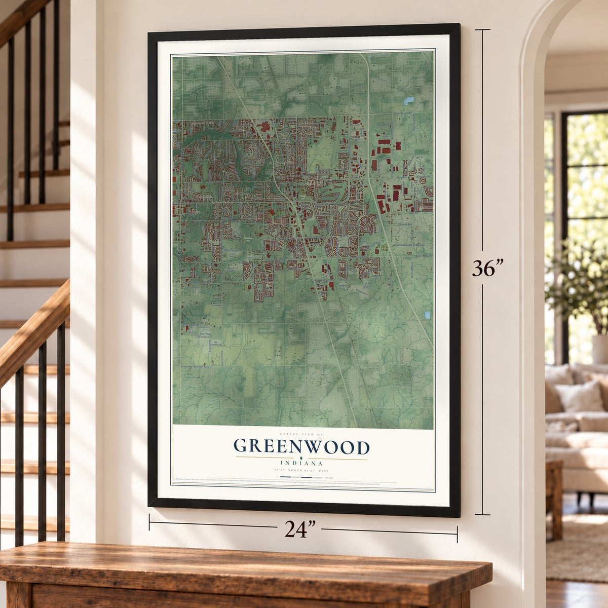
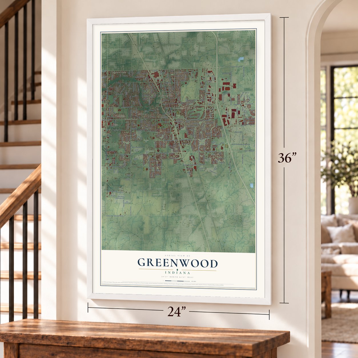
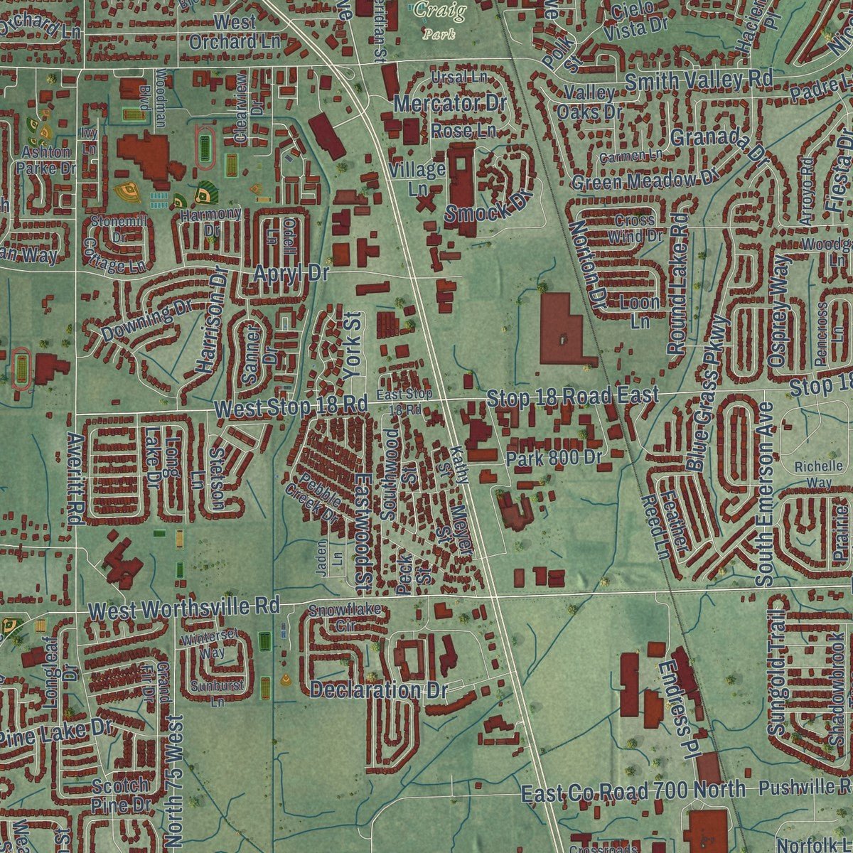
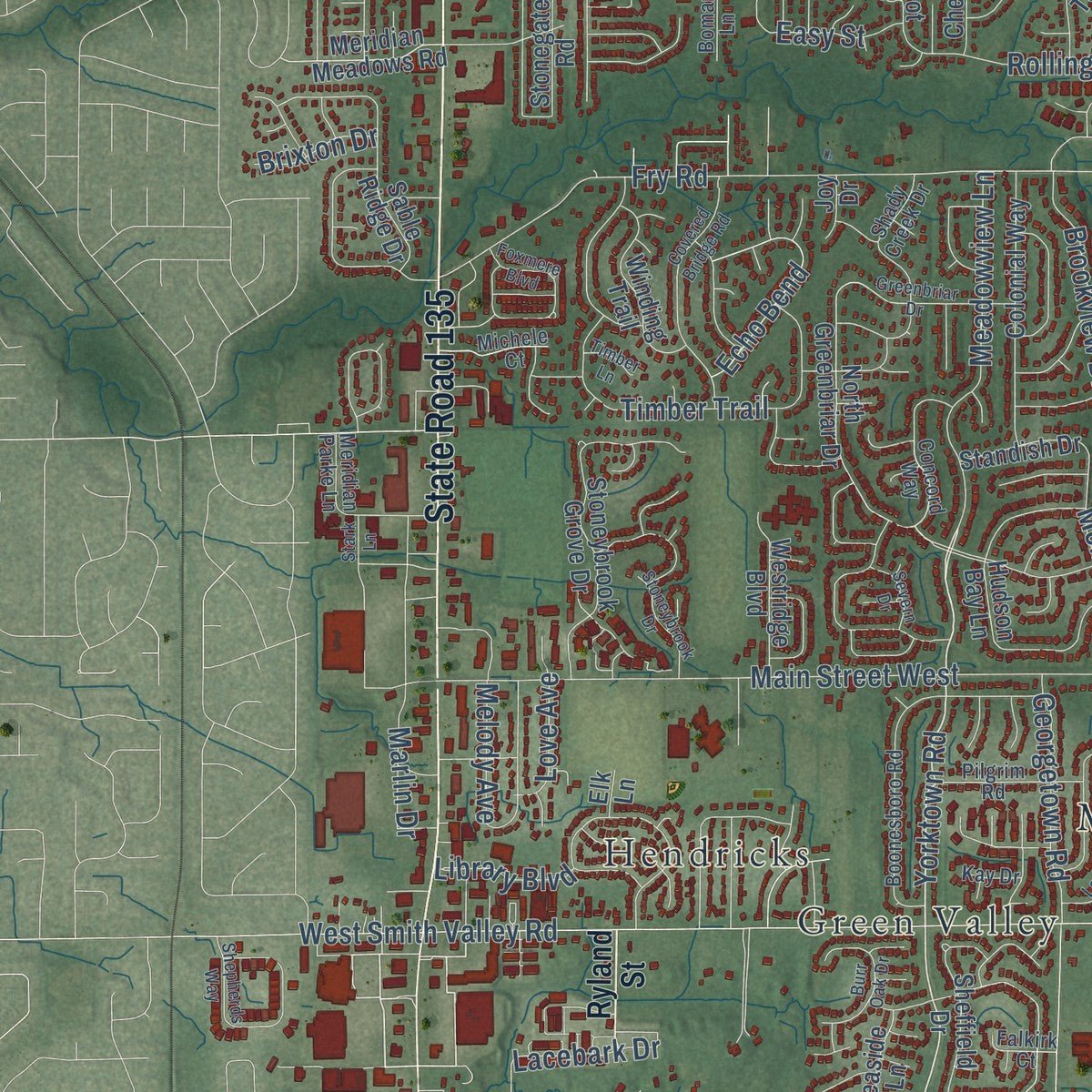
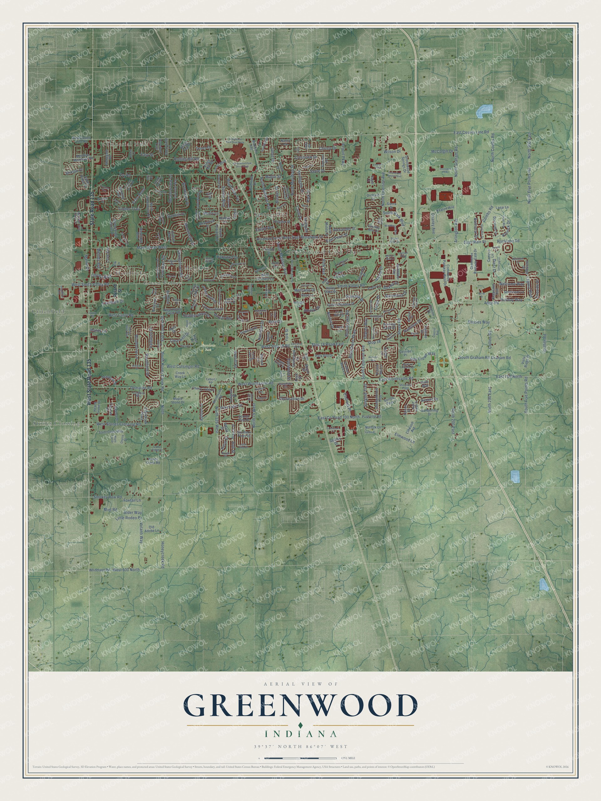
Explore Greenwood, Indiana from a whole new perspective. Created using aerial imagery and detailed geographic data, this map captures Greenwood building by building, with labeled streets, familiar landmarks, and shaded topographical relief that highlights the natural contours of the landscape.
Combining modern data with the timeless character of a vintage atlas, this map is just as interesting up close as it is beautiful on the wall. Whether you grew up in Greenwood, spent memorable years there, or call it home today, this unique map is a great way to celebrate a place that means something to you. Zoom in on the preview to look for your street, and then order a print to put your memories on the wall.
Three ways to hang it
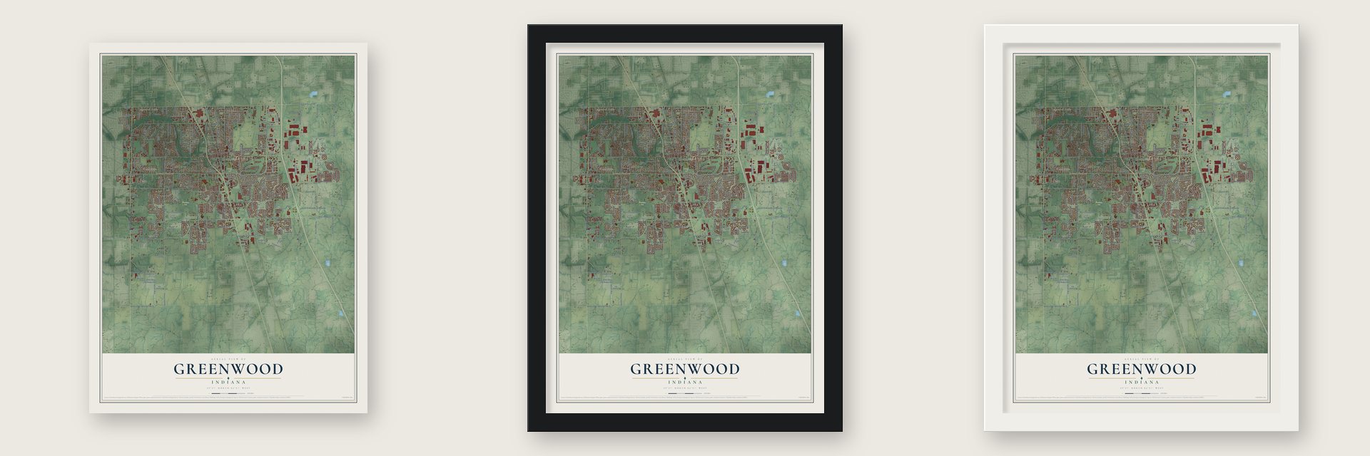
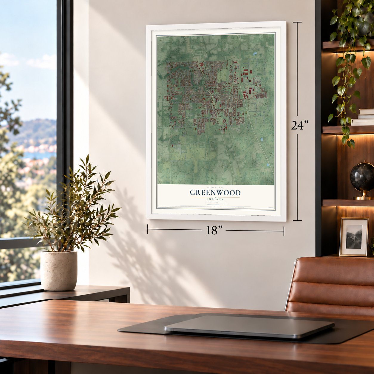
Unframed archival matte, a black wood frame or a white wood frame.
Up close
Geography Worth Displaying
This map was created using accurate cartographic data and authoritative geographic sources, including the U.S. Geological Survey and the Census Bureau. The map brings together terrain, waterways, roads, and building detail. The majority of the streets are labeled, houses are accurately depicted, and the topography is derived from government sources. Combining local data with carefully composed color and shading leads to this beautifully detailed Greenwood artwork for your wall.
Rather than simply showing street outlines, we’ve included as many of the street names as we could reasonably fit on the map while keeping their names legible. Zoom in on the high resolution preview to see exactly what’s on the map. We truly set out to create a statement piece for anyone who loves Greenwood. So whether it’s for you, or a gift for someone you love, we hope this map of Greenwood brings back fond memories.
Read the story behind this map of Greenwood, Indiana from 2026.

Find your street
Names on the Greenwood map
Every name below is printed on this map. Look for your street, your school, the park where you played, or the pond down the road.
Places and landmarks10
- Greenwood City Hall
- Imperial Hills
- Craig Park
- Freedom Park
- Critchfield
- Green Valley
- Hendricks
- McCarty
- Spring Hill
- Stones Crossing
Streets and roads348
- West State Road 135
- State Road 135
- North Madison Avenue
- Meadowview Lane
- Ninth
- South Honey Creek Road
- Yorktown Road
- South Madison Avenue
- 850 County Road
- Maple Street
- North Meridian Street
- West Stop 18 Road
- Declaration Drive
- Stop 18 Road East
- Norton Drive
- East 750 North
- East Worthsville Road
- Sheek Road
- Apryl Drive
- South Graham Road
- Avocet Drive
- East County Line Road
- East Main Street
- West Smith Valley Road
- Main Street West
- Fry Road
- Averitt Road
- Honeycreek Road
- North Graham Road
- South Emerson Avenue
Show all 348 streets
- North 300 East
- West Stones Crossing Road
- North 250 East
- Arlington Avenue
- North Emerson Avenue
- North Five Points Road
- Legacy Boulevard
- Allen Road
- Griffith Road
- North 200 East
- West 500 North
- West Cutsinger Road
- Collins Road
- Demaree Road
- Smokey Row Road
- Smith Valley Road
- East County Road 700 North
- Blue Grass Parkway
- Park Drive
- West Curry Road
- North 75 West
- Woodfield Drive
- North Combs Road
- Northgate Drive
- Sunset Boulevard
- West Worthsville Road
- Oakwood Drive
- Combs Road
- Marlin Drive
- North 125 West
- East Pearl Street
- Airport Parkway
- Christy Drive
- Carol Drive
- East Broadway Drive
- Sayre Drive
- Brookview Drive
- South Park Boulevard
- Rocklane Road
- Crestview Drive
- Rolling Hill Road
- Polk Avenue
- Smock Drive
- Ray Crowe Way
- Windborne Lane
- Pine Lake Drive
- Echo Bend
- Little Rodeo Place
- Chaney Avenue
- Granada Drive
- Georgetown Road
- Stacies Way
- South Five Points Road
- Stop 18
- Lacebark Drive
- Hamilton Drive
- Alexander Street
- Elmwood Lane
- Endress Place
- Monticello Drive
- Eastwood Street
- Dietz Drive
- Welcome Way
- Wood Dale Terrace
- Barcelona Drive
- Heatherwood Drive
- Round Lake Road
- Timber Trail
- Holiday Way
- Harrison Drive
- Clearwell Drive
- Melody Avenue
- Bexley Drive
- Ashton Lane
- Balmoral Drive
- Fiesta Drive
- Love Avenue
- McColgin Drive
- Volanti Way
- Fireside Drive
- Mercator Drive
- Janet Drive
- Valdarno Drive
- Sungold Trail
- Nicole Drive
- Kinnick Drive
- Brewer Place
- Euclid Avenue
- Honey Lane
- Library Boulevard
- Foxtail Lane
- Osprey Way
- Graham Road
- Wilson Drive
- Easy Street
- Brixton Drive
- Alder Way
- Hurst Street
- York Street
- Dover Drive
- Mint Road
- Merry Lane
- Holt Street
- Ryland Street
- West Honey Creek Road
- Madison Avenue
- Trailside Drive
- Feather Reed Lane
- Meridian Meadows Road
- North Greenbriar Drive
- Whiteland Road
- Commerce Parkway East Drive
- Pushville Road
- Cherry Tree Lane
- Worthsville Road
- Commerce Parkway West Drive
- Polk Street
- Southern Pines Drive
- Colonial Way
- Broadway Street West
- Stoneybrook Grove Drive
- Ashwood Drive
- Orchard Lane
- Green Meadow Drive
- Longleaf Drive
- Southwood Street
- Hacienda Place
- Padre Lane
- Leatherwood Drive
- Winding Trail
- Downing Drive
- Peck Street
- Stonegate Road
- Redbud Lane
- Briarwood Drive
- Saint Clare Way
- Sable Ridge Drive
- Shadowbrook Trce
- Meyer Street
- Greenwood Springs Drive
- Southgate Drive
- Keaton Way
- South Howard Road
- Westridge Boulevard
- Cypress South
- Ridge Top Drive
- Colinbrook Parkway
- Valley Oaks Drive
- Sheffield Drive
- Lawnwood Drive
- Sentiment Lane
- Crystal Lake Drive
- Village Lane
- Hudson Bay Lane
- Darrough Drive
- Maple Stone Drive
- Campus Lane
- West Orchard Lane
- Galena Drive
- West County Line Road
- Old Adobe Lane
- Elm Street
- Longdon Street
- Sanderling Drive
- Juniper Lane
- Long Lake Drive
- Morgan Way
- Park 800 Drive
- Loews Boulevard
- Sanner Drive
- Rose Lane
- Standish Drive
- Stetson Lane
- Honey Creek Road
- Cherryfield Lane
- Cielo Vista Drive
- Scotch Pine Drive
- Summer Road
- Kings Mill Road
- Lanai Lane
- Falcon Drive
- Keepsake Run
- Linwood Avenue
- Branch Street
- Thorium Drive
- Breaside Lane
- Riverside Drive
- Spinnaker Bay
- Sorrell Pass
- Norfolk Lane
- Country Aire Drive
- Creek Way Lane
- Cassine Place
- Genisis Drive
- April Drive
- North Middle Street
- Lincoln Street
- Barefoot Trail
- Orchard Drive
- Prairie Sky Lane
- Hearth Grove Drive
- Hove Drive
- Loon Lane
- Vista Ridge Drive
- Beech Drive
- Nancy Lane
- Heritage Drive
- Sierra Drive
- Burning Bush Drive
- Vista Way
- Station Drive
- Jody Court
- Weald Street
- Joy Drive
- Sayer Court
- Elk Lane
- Concord Way
- Beacon Pointe Drive
- Classic Avenue
- South Meridian Street
- Howard Road
- Lawndale Drive
- Windhorst Way
- Boonesboro Road
- South Park Drive
- Dresden Drive
- Cross Wind Drive
- Shady Creek Drive
- Grand Fir Drive
- Arroyo Road
- Ursal Lane
- Horse Shoe Bnd
- Pilgrim Road
- Spencer Drive
- Southbridge
- Ellington Circle
- La Placita Road
- Pebble Creek Drive
- Bomar Lane
- Bayside Drive
- Cottage Lane
- Woodgate Lane
- Kathy Street
- Carson Way
- Imel Way
- Night Hawk Drive
- Michele Court
- Redbud Place
- Odell Lane
- Fairview Drive East
- Clearview Drive
- Meridian Parke Lane
- Pencross Lane
- Bough Street
- Snowflake Circle
- Cherry Street
- Heirloom Lane
- Longford Way
- Shoreline Psge
- Home Avenue
- Stone Ridge Court
- Ashton Parke Drive
- Harmony Drive
- Jack Pine Drive
- Falkirk Court
- Surrey Hill Court
- Talbert Road
- Kay Drive
- Curry Road
- Knoll Court
- East Stop 18 Road
- Mission Hills Drive
- Covered Bridge Road
- Vicksburg South Drive
- Greenwood Park Drive South
- Leah Way
- Sleepy Hollow Place
- Tuscany Drive
- Ashbourne Lane
- Browning Drive
- Berrywood Drive
- Gathering Lane
- Totten Drive
- Greenwood Springs Boulevard
- Carmen Lane
- Greenbriar Drive
- Margate Drive
- Greenwood Park Drive North
- Oak Meadows Lane
- Marcy Lane
- Stoneybrook Drive
- Innovation Parkway
- Burr Oak Drive
- Millstone Drive
- Crossroads Drive
- Stonemill Drive
- Early Bird Lane
- Sugar Maple Drive
- Shepherds Way
- Barnes Court
- Jaden Lane
- Blakely Drive
- Winterset Way
- Woodman Boulevard
- Brewer Drive
- Severn Drive
- Maple Leaf Drive
- Hardin Place
- Foxmere Boulevard
- Sunburst Lane
- Richelle Way
- Emerson Parkway
- Timber Lane
- Stark Lane
- Gerdt Court
- Laura Drive
- Erny Drive
- Ivy Lane
Names are listed as they appear on the printed map. Zoom into the product photos to find them.
About Greenwood, Indiana
Greenwood is a city of 63,830 people in Johnson County, 11 miles south of downtown Indianapolis. The Delaware, or Lenape, lived here first. The Treaty of St. Mary's made central Indiana available for settlement in 1818, and by 1823 the brothers John B. and Isaac Smock had built a cabin here. It was the first in northern Johnson County, on ground where Greenwood Park Mall stands today.
People called the settlement Smocktown, or Smock's Settlement, after the brothers, and in 1825 it became Greenfield. Hancock County already had a Greenfield, so in 1833 the name changed to Greenwood. The town incorporated in 1864 and became a fifth-class city in 1960. In 2010 the city council voted to make it a second-class city.
- Indianapolis's first interurbanIn 1895 Henry L. Smith organized the Indianapolis, Greenwood & Franklin Company and graded a line south to Greenwood. The first electric cars ran from Indianapolis to Greenwood on January 1, 1900, along the route of today's Madison Avenue. The historian Jacob Piatt Dunn counted it as the capital's first real interurban electric railway.
- J.T. Polk's canneryThe J.T. Polk Canning Company put up vegetables grown in Indiana and was one of the town's biggest employers. It later added a dairy business that delivered milk, and at one point it was the largest canning operation west of Baltimore. Stokely-Van Camp bought the company and kept it running in Greenwood until the 1950s. Parts of the plant still stand on Main Street, now used as offices.
- Two national banks in 1906Ten shareholders, J. T. Polk among them, organized the private Greenwood Banking Company on July 15, 1893. Grafton Johnson and J. Albert Johnson later became its only owners, and in 1906 they reorganized it as the First National Bank of Greenwood, with $25,000 in capital. The Citizens' National Bank of Greenwood was chartered that same year, on October 31, 1906, with Harvey Brewer as its president.
- The Graphic in 1888Sumner Rose started The Graphic in 1888, and it was the first newspaper printed in Greenwood.
Keep exploring Indiana
Greenwood is one of 1,023 Indiana towns we've mapped. Every dot on the map is a print of its own.
The search covers every state, Indiana first.
Near Greenwood
Order 2 or more town maps and save 10%. Shown in the size and finish you picked above, so they hang as a set.
- New Whiteland 12" x 18" / Archival Matte Print $39.99
- Whiteland 12" x 18" / Archival Matte Print $39.99
- Southport 12" x 18" / Archival Matte Print $39.99
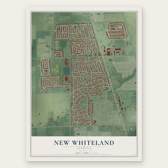
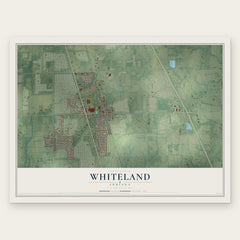
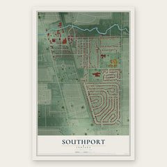
More maps nearby: Homecroft, Bargersville, University Heights, Beech Grove and Franklin.
The art of mapping a place
How This Map Was Made
Real places. Remarkable detail. Discover the layers that turn geographic data into a map of home.

The view from above
Aerial imagery reveals the character of the land: woodland, open fields, and the patterns of a place.

The shape of the land
Elevation data brings hills, valleys, and subtle changes in the landscape into view.

The details of home
Roads, waterways, and building footprints come together to make the map feel unmistakably local.

Geography becomes art
Considered color, shading, and typography bring the layers together in a map made for your wall.


Process illustrated with Mendon, Massachusetts. Aerial imagery: USDA NAIP. Terrain: USGS 3D Elevation Program. Map details and finished artwork: KNOWOL.
The Details
About This Print
Choose an archival matte print, or a black or white Ayous wood frame. The archival matte print is unframed.
Select your size and finish above to see the matching product image and price.
Materials & Craftsmanship
A contemporary map with the character of a classic atlas, printed on archival matte paper. Optional frames are made from Ayous wood.
Your printed map does not include the watermark shown in the full-map preview.
Shipping & Delivery
Free shipping within the United States. Every print is made to order in the USA.
Buying a gift? Add a note in your cart and we'll include it. We never put prices in the package.
Prints ship within 2 to 3 business days. Allow 7 to 10 days total from ordering for delivery. Timing may vary during holidays or periods of high order volume.
Read our shipping policy.
Returns and damaged prints
Each print is made to order. Change-of-mind refunds are not available after production.
If your print arrives damaged, misprinted or incorrect, contact support@knowol.com within 30 days of receiving it. Include your order number, photos and a description of the issue.
Read our full refund and replacement policy. For questions about your order, email support@knowol.com.