
Search for another town





Free U.S. delivery 7 to 10 days after you order
Gulfport, Mississippi Map Art
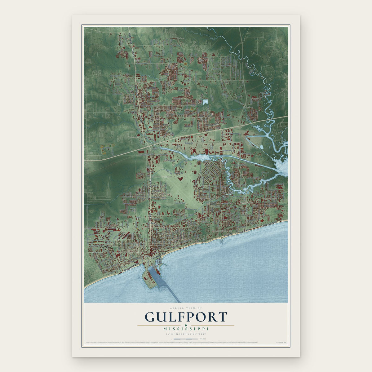
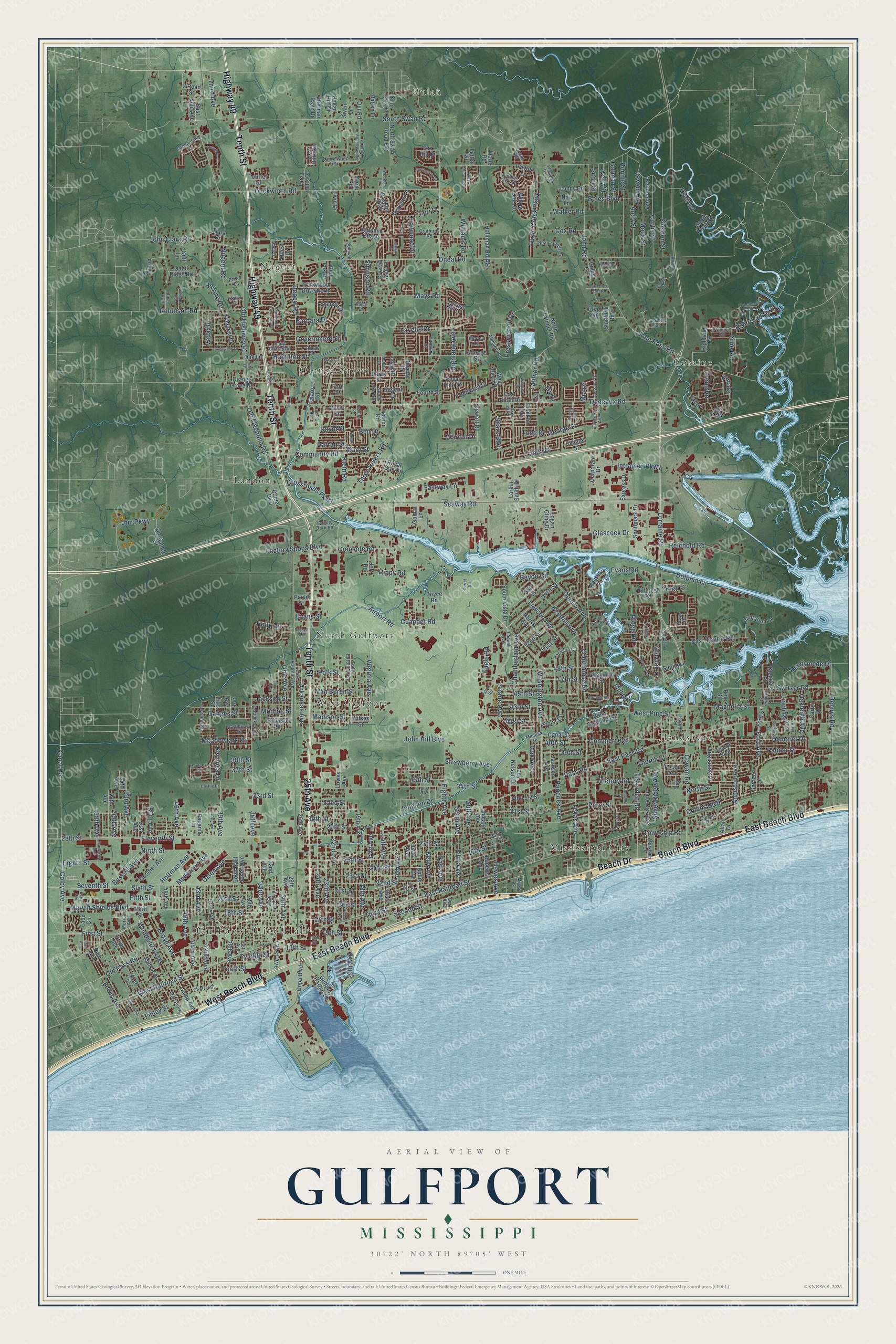
A new map of Gulfport, Mississippi, made in 2026 and printed to order on thick archival matte paper.
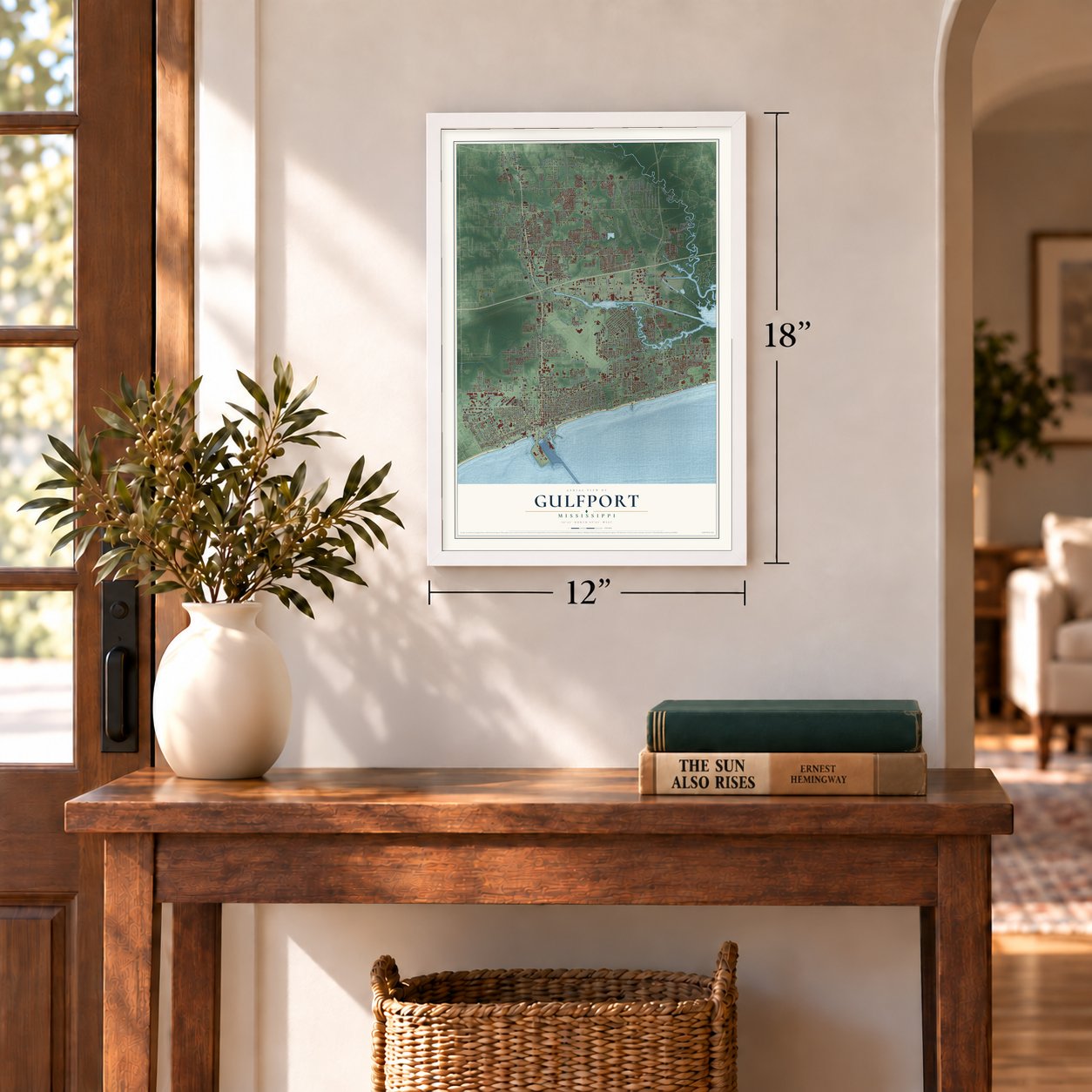
12" x 18" Archival Matte Print
A Map of Home. A Work of Art.
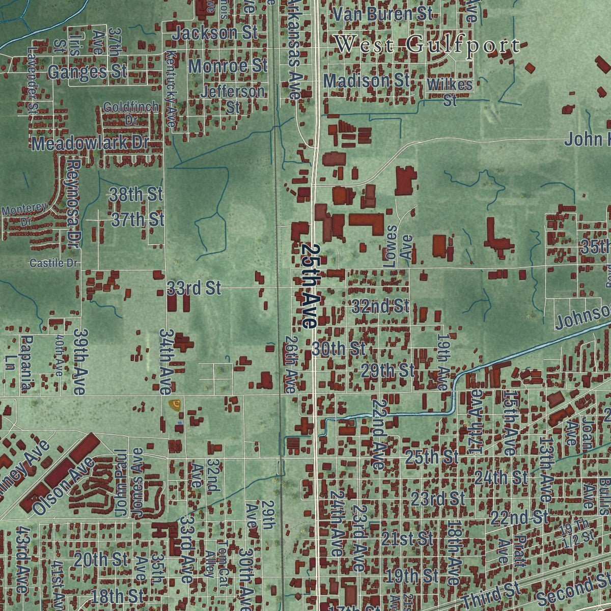
Explore Gulfport, Mississippi from a whole new perspective. Created using aerial imagery and detailed geographic data, this map captures Gulfport building by building, with labeled streets, familiar landmarks, and shaded topographical relief that highlights the natural contours of the landscape.
Combining modern data with the timeless character of a vintage atlas, this map is just as interesting up close as it is beautiful on the wall. Whether you grew up in Gulfport, spent memorable years there, or call it home today, this unique map is a great way to celebrate a place that means something to you. Zoom in on the preview to look for your street, and then order a print to put your memories on the wall.
Three ways to hang it
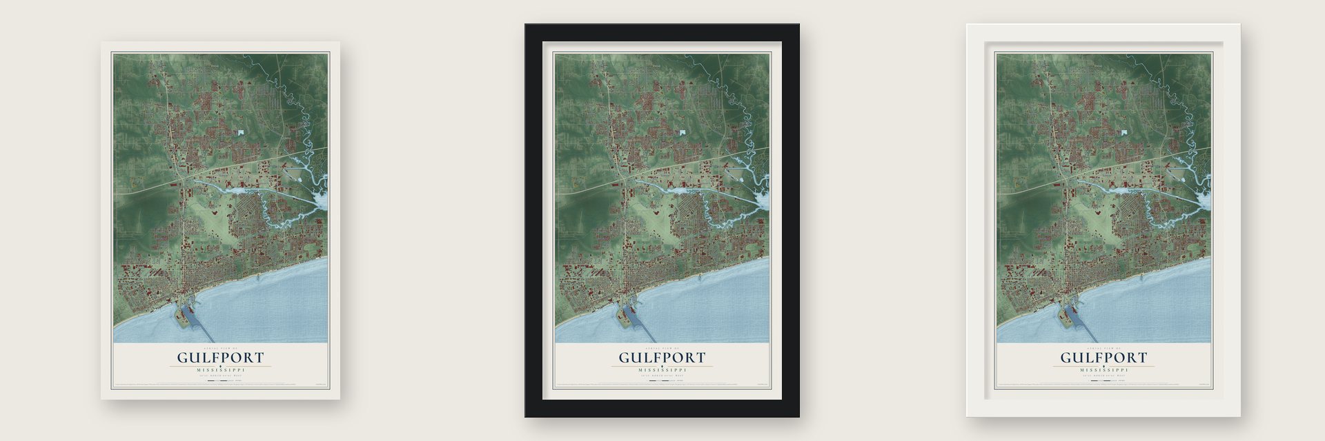
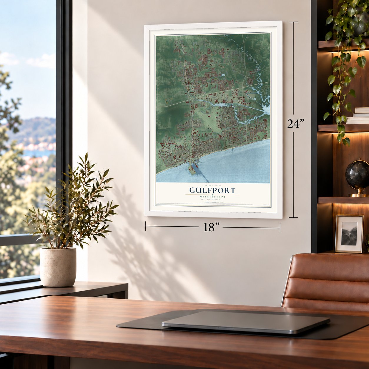
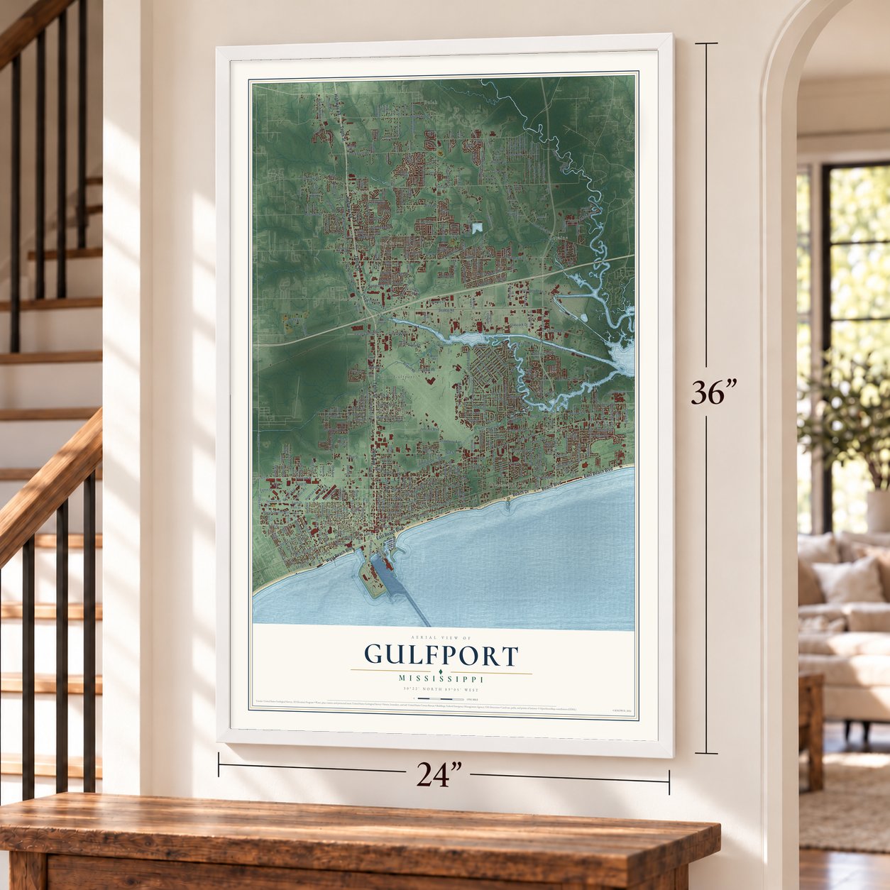
Unframed archival matte, a black wood frame or a white wood frame.
Up close
Geography Worth Displaying
This map was created using accurate cartographic data and authoritative geographic sources, including the U.S. Geological Survey and the Census Bureau. The map brings together terrain, waterways, roads, and building detail. The majority of the streets are labeled, houses are accurately depicted, and the topography is derived from government sources. Combining local data with carefully composed color and shading leads to this beautifully detailed Gulfport artwork for your wall.
Rather than simply showing street outlines, we’ve included as many of the street names as we could reasonably fit on the map while keeping their names legible. Zoom in on the high resolution preview to see exactly what’s on the map. We truly set out to create a statement piece for anyone who loves Gulfport. So whether it’s for you, or a gift for someone you love, we hope this map of Gulfport brings back fond memories.
Read the story behind this map of Gulfport, Mississippi from 2026.

About Gulfport, Mississippi
Gulfport is a city of 72,926 people in Harrison County, on the Mississippi Sound, and it shares the county seat with Biloxi. Two villages came first: Mississippi City on the gulf and Handsboro along the bayous to the north. In 1837 the Mississippi City Company set out to found a town where the planned Gulf and Ship Island line would meet the coast, so yellow pine could be shipped out by sea. A depression ended the railroad plans, but the town went up anyway and became the county seat in 1841.
When the railroad company was reorganized, William H. Hardy became its president. He wanted to run the line from Hattiesburg, a town he had founded, to deep water, so he passed over Mississippi City and chose the Gulfport site in 1887. Newspaper editor R. H. Henry suggested the name in 1888. The cost broke Hardy in 1893 and the young town emptied out. Then Philadelphia oil man Joseph T. Jones bought the company and paid for the railroad, the harbor and much of the city. Gulfport was incorporated on July 28, 1898, the railroad was finished in 1900, and in 1902 the county voted to move its seat here.
- America's top lumber portJones paid to dredge a channel to the natural harbor off Ship Island, 7 miles long, 310 feet wide and 24 feet deep, which gave Mississippi its only deep-water harbor. The port opened in 1902. Lumber shipments jumped from 19,035,252 feet that year to 245,213,829 feet in 1904. By 1906 no city in the nation exported more lumber, with over 293 million feet shipped, until the yellow pine ran out.
- A boomtown by 1910Gulfport had 1,000 people in 1900 and over 6,000 by 1910, so the city set up a fire department and sanitation service, and the county courthouse went up by 1903. The US Post Office and Customhouse was built in 1910 and joined the National Register in 1984. In March 1916 the mayor announced a Carnegie Library. That building now houses the Mississippi Sound Historical Museum.
- Bomber crews in 1942During World War II the Army Air Corps built Gulfport Army Airfield in 1942 to train heavy bomber crews, and Camp Hollyday opened the same year, later becoming home to the Naval Construction Battalion Center. After the war the city bought most of the airfield for a new municipal airport. A hangar from the old airfield joined the National Register in 2011.
- Camille and KatrinaHurricane Camille struck on August 17, 1969, pushing water 21 feet high along the waterfront and nearly wiping out the port. On August 29, 2005, Hurricane Katrina brought a surge of at least 19 feet and damaged or destroyed 9,571 houses. The city rebuilt with over $300 million in federal aid, and on the storm's 15th anniversary in 2020 the Mississippi Aquarium opened.
Find your street
Names on the Gulfport map
Every name below is printed on this map. Look for your street, your school, the park where you played, or the pond down the road.
Places and landmarks10
- Gulfport City Hall
- Bulah
- Handsboro
- Landon
- Loraine
- Mississippi City
- North Gulfport
- Nugent
- Orange Grove
- West Gulfport
Streets and roads448
- Beach Boulevard
- Beach Drive
- Tenth Street
- East Beach Boulevard
- Highway 49
- 25th Avenue
- West Beach Boulevard
- Lorraine Road
- Hewes Avenue
- Washington Avenue
- Arkansas Avenue
- Canal Road
- Colby Avenue
- 45th Street
- Riverroad Drive
- First Street
- 45th Avenue
- Airport Road
- 17th Street
- 32nd Street
- Eighth Street
- 54th Street
- Ford Avenue
- Three Rivers Road
- Old Highway 49
- Oneal Road
- 28th Street
- Dedeaux Road
- Pass Road
- South Swan Road
Show all 448 streets
- Seaway Road
- Courthouse Road
- West Railroad Street
- Eleventh Street
- East Railroad Street
- 23rd Avenue
- 34th Street
- 22nd Street
- 19th Street
- East Pass Road
- 34th Avenue
- 30th Avenue
- 25th Street
- 20th Street
- 31st Street
- 29th Street
- Klein Road
- Duckworth Road
- 23rd Street
- Fifth Street
- 24th Street
- Second Street
- 30th Street
- Seventh Street
- John Hill Boulevard
- 15th Street
- 21st Street
- 20th Avenue
- Ninth Street
- Rippy Road
- Cowan Road
- 13th Street
- Texas Avenue
- John Ross Road
- Crossroads Parkway
- 22nd Avenue
- 33rd Street
- 33rd Avenue
- Oak Avenue
- Kendall Avenue
- Debuys Road
- Third Street
- Creosote Road
- 31st Avenue
- 43rd Avenue
- River Road
- 26th Street
- Broad Avenue
- 18th Street
- Depew Road
- Jackson Street
- Tegarden Road
- 42nd Avenue
- 24th Avenue
- Bayou Circle
- Switzer Road
- 39th Avenue
- Anniston Avenue
- Preservation Drive
- Collins Boulevard
- Sixth Street
- Old Pass Road
- Bonnie Street
- Commerce Street
- Woodward Avenue
- 44th Avenue
- Chamberlain Avenue
- Gulf Avenue
- Robinson Road
- Madison Street
- Lewis Avenue
- John Clark Road
- 18th Avenue
- Polk Street
- 27th Street
- Eighth Avenue
- Marvin Shields Boulevard
- Tandy Drive
- Turtle Creek Parkway
- Glascock Drive
- John Road
- Cuandet Road
- Fifth Avenue
- Magnolia Street
- 47th Street
- 35th Street
- Ohio Avenue
- Monroe Street
- Highland Avenue
- Reichold Road
- Hancock Avenue
- Jfm Parkway
- 13th Avenue
- Mays Road
- 53rd Avenue
- Factory Shops Boulevard
- Dolphin Lane
- Kelly Avenue
- Holly Circle
- Twelfth Street
- 17th Avenue
- Curtis Street
- Sixth Avenue
- Mock Street
- 51st Street
- Searle Avenue
- Palmer Drive
- Intraplex Parkway
- 37th Street
- Lawson Avenue
- Evans Road
- Van Buren Street
- Eagle Road
- Mill Road
- Trailwood Drive
- Latimer Road
- East Taylor Road
- Church Street
- Community Road
- Old Magnolia Road
- Finley Street
- Warren Drive
- Andy Street
- 48th Street
- Demaret Drive
- Boles Boulevard
- Sheldon Street
- East Avenue
- Virginia Avenue
- Runnymede Drive
- Ganges Street
- 46th Avenue
- Johnson Drive
- Sharp Boulevard
- West Pine Street
- Government Street
- George Street
- Creel Circle
- Gary Street
- North Street
- Simpson Road
- Strawberry Avenue
- Meadowlark Drive
- Silver Ridge Avenue
- Fastway Lane
- David Street
- Gorman Street
- Barbara Drive
- Victory Road
- Township Road
- 55th Avenue
- Holtman Avenue
- 15th Avenue
- Lavelle Drive
- McKinney Avenue
- Herring Road
- 43rd Street
- Bussell Avenue
- Third Avenue
- Quincy Avenue
- Scott Street
- Williams Road
- Ollie Road
- Oakleigh Avenue
- 50th Avenue
- Hamilton Street
- Kelly Street
- Olson Avenue
- Pine Drive
- Todd Drive
- Ben Drive
- Vada Drive
- 39th Street
- Walker Road
- Lori Place
- 58th Avenue
- 40th Street
- Perry Street
- Gwen Avenue
- Nugent Road
- Old Oak Lane
- 41st Street
- Gould Road
- Reynosa Drive
- Cox Road
- Ridge Road
- Lindh Road
- Mia Drive
- Darran Street
- Evans Street
- Jay Drive
- 38th Street
- Road
- Gulfport Harbor Street
- Orange Grove Road
- Poole Street
- Highland Circle
- 32nd Avenue
- 19th Avenue
- 38th Avenue
- 26th Avenue
- Parkwood Drive North
- 41st Avenue
- 37th Avenue
- Ford Street
- Rich Avenue
- Mills Avenue
- 29th Avenue
- Jefferson Street
- Camp Avenue
- Quail Ridge Road
- Darby Street
- Franklin Avenue
- Willow Oak Circle
- 35th Avenue
- Autumn Chase
- 52nd Street
- Fox Hill Drive
- Bullis Avenue
- Pine Street
- Loveless Drive
- Ruth Avenue
- 54th Avenue
- Roberts Avenue
- Pratt Avenue
- Poplar Circle
- South Vista Drive
- Tara Hills Circle
- Goodier Avenue
- Corporate Drive
- 55th Street
- 56th Avenue
- Plantation Lane
- Fourth Street
- Ladd Circle
- Taylor Boulevard
- Dixie Avenue
- East Birch Drive
- West Magnolia Street
- 48th Avenue
- North Swan Road Extension
- Brayton Boulevard
- Copa Boulevard
- Fleetwood Drive
- Jody Nelson Drive
- Canal Street
- Stewart Road
- Un-Named Street
- Live Oak Avenue
- Royal Pine Drive
- Lawton Lane
- Jackson Avenue
- West Birch Drive
- Southpark Drive
- North Latimer Road
- Hillcrest Road
- Express Drive
- Larkin Smith Drive
- Joan Avenue
- Logan Cline Drive
- Holliman Road
- Kencrest Drive
- Sheffield Road
- Samuel Street
- Belinda Avenue
- Augustine Drive
- Beverly Drive
- Carter Drive
- John Paul Jones Avenue
- East Side Avenue
- Roxbury Place
- 3 Road Street
- Royal Oak Drive
- Tiara Drive
- Champlin Street
- Sundown Drive
- Touriel Road
- Sarazen Drive
- Glendale Place
- Tara Hills Drive
- Lowes Avenue
- Red Fox Drive
- Creek Drive
- Goff Lane
- Swan Lane
- Road 240
- Lundy Road
- Hatten Lane
- Keyser Lane
- Norris Avenue
- Nita Lane
- Oak Lane
- Arledge Street
- Locust Hill Drive
- Pecan Hill Drive
- Papania Lane
- Iris Street
- Tanner Road
- Eugene Drive
- Miles Drive
- Ellis Drive
- Chicago Avenue
- Tataro Road
- South River Road
- Harman Page Road
- Poplar Avenue
- Allan Drive
- Daniel Boulevard
- Fore Street
- Coles Cv
- Twin Drive
- Boyce Road
- Legg Drive
- Crystal Well Court
- Cleve Street
- Goldin Lane
- Wilkes Street
- Our Road
- 51st Avenue
- Felton Road
- Marie Road
- Aerie Road
- Jeff Road
- Dover Drive
- 14th Street
- East Railroad Avenue
- 21st Avenue
- 36th Avenue
- South Carolina Avenue
- Saint Charles Street
- Curcor Drive
- Beau Forest Drive
- Harmony Cr
- Hidden Oaks Drive
- Plummer Circle
- North Swan Road
- Morrell Avenue
- Royal Street
- Locust Avenue
- Turnberry Avenue
- Alphabet Road
- Harrison Circle
- Lynn Avenue
- Mimosa Drive
- Ford Alley
- Bridge Street
- Kentucky Avenue
- Jessica Drive
- Mallard Drive
- Lavender Street
- South Kern Drive
- County Barn Road
- Greenglade Drive
- Markham Drive
- Laurelwood Drive
- Goldfinch Drive
- Cruthirds Road
- Central Street
- Andy Drive
- Tom Cat Alley
- Phifer Lane
- Imilda Drive
- Charlotte Road
- Sullivan Lane
- Lisa Lane
- Crown Road
- Brown Street
- Morley Drive
- Kaila Court
- Bert Avenue
- Carl Leggett Road
- Harris Drive
- Bainbridge Avenue
- Fishermans Trail
- 40th Avenue
- Huntington Circle
- South Country Wood Drive
- Parkwood Drive South
- Illinois Avenue
- Oakwood Drive
- Greenbriar Drive
- Victoria Circle
- Pine Hills Drive
- Forest Drive
- Crestview Drive
- Russell Boulevard
- Monterey Drive
- Oak Forest Drive
- Shoreline Lane
- Falcon Road
- Anandale Circle
- Red Oak Drive
- Arrowhead Drive
- West Chipwood Drive
- Hemlock Road
- Cheshire Drive
- Oak Forest Estate
- Salisbury Road
- Barry Avenue
- Brittany Boulevard
- Plantation Oaks Drive
- Woodland Drive
- Castile Drive
- 62nd Avenue
- Allendale Avenue
- Dudley Street
- Briar Patch Road
- Dobson Road
- Boyd Avenue
- Ralph Drive
- Midway Avenue
- Barton Road
- Jordan Place
- Hendry Road
- Dog Leg Road
- Curret Road
- Karen Court
- Bb Lane
Names are listed as they appear on the printed map. Zoom into the product photos to find them.
The art of mapping a place
How This Map Was Made
Real places. Remarkable detail. Discover the layers that turn geographic data into a map of home.

The view from above
Aerial imagery reveals the character of the land: woodland, open fields, and the patterns of a place.

The shape of the land
Elevation data brings hills, valleys, and subtle changes in the landscape into view.

The details of home
Roads, waterways, and building footprints come together to make the map feel unmistakably local.

Geography becomes art
Considered color, shading, and typography bring the layers together in a map made for your wall.


Process illustrated with Mendon, Massachusetts. Aerial imagery: USDA NAIP. Terrain: USGS 3D Elevation Program. Map details and finished artwork: KNOWOL.
The Details
About This Print
Choose an archival matte print, or a black or white Ayous wood frame. The archival matte print is unframed.
Select your size and finish above to see the matching product image and price.
Materials & Craftsmanship
A contemporary map with the character of a classic atlas, printed on archival matte paper. Optional frames are made from Ayous wood.
Your printed map does not include the watermark shown in the full-map preview.
Shipping & Delivery
Free shipping within the United States. Every print is made to order in the USA.
Buying a gift? Add a note in your cart and we'll include it. We never put prices in the package.
Prints ship within 2 to 3 business days. Allow 7 to 10 days total from ordering for delivery. Timing may vary during holidays or periods of high order volume.
Read our shipping policy.
Returns and damaged prints
Each print is made to order. Change-of-mind refunds are not available after production.
If your print arrives damaged, misprinted or incorrect, contact support@knowol.com within 30 days of receiving it. Include your order number, photos and a description of the issue.
Read our full refund and replacement policy. For questions about your order, email support@knowol.com.
Find your town
Looking for another city?
Find a map of home in our Mississippi collection, or any town in the country.
Nearby
Maps of towns near Gulfport
Know someone from one of these towns? Their map makes a great gift.
 Lyman
Lyman, Mississippi
From $39.99See the map
 Long Beach
, Mississippi
From $39.99See the map
 Biloxi
, Mississippi
From $39.99See the map
More maps nearby: D'Iberville, Pass Christian, St. Martin, DeLisle and Latimer.