
Search for another town


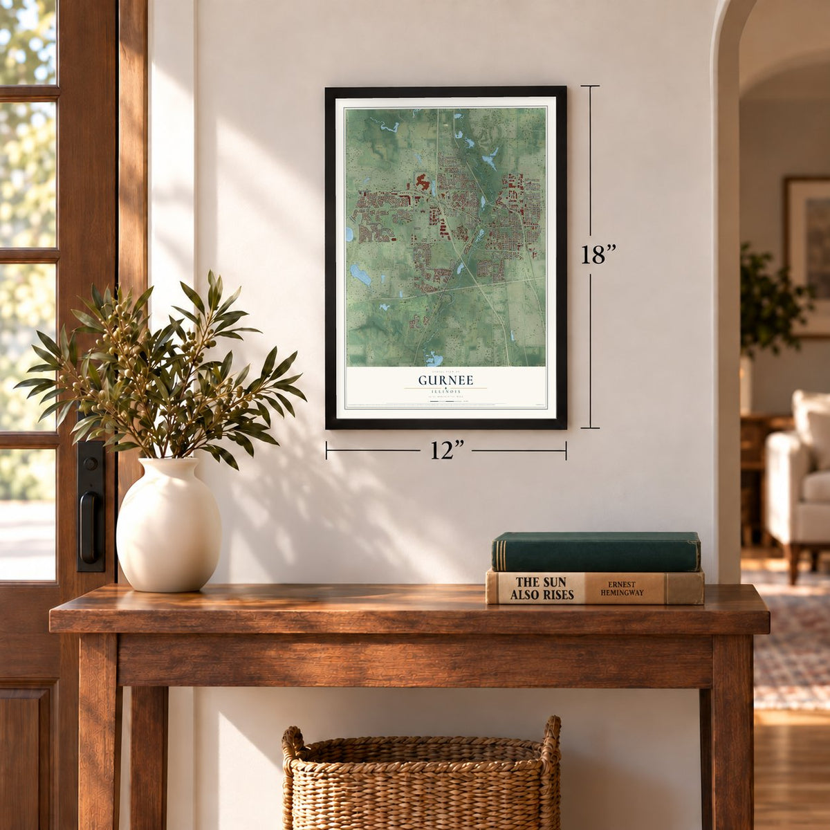
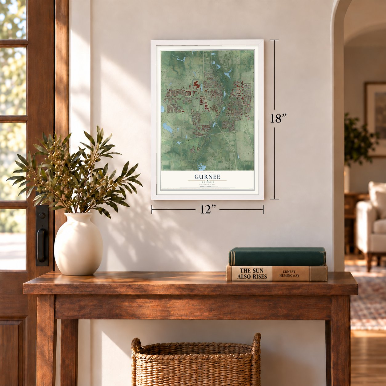

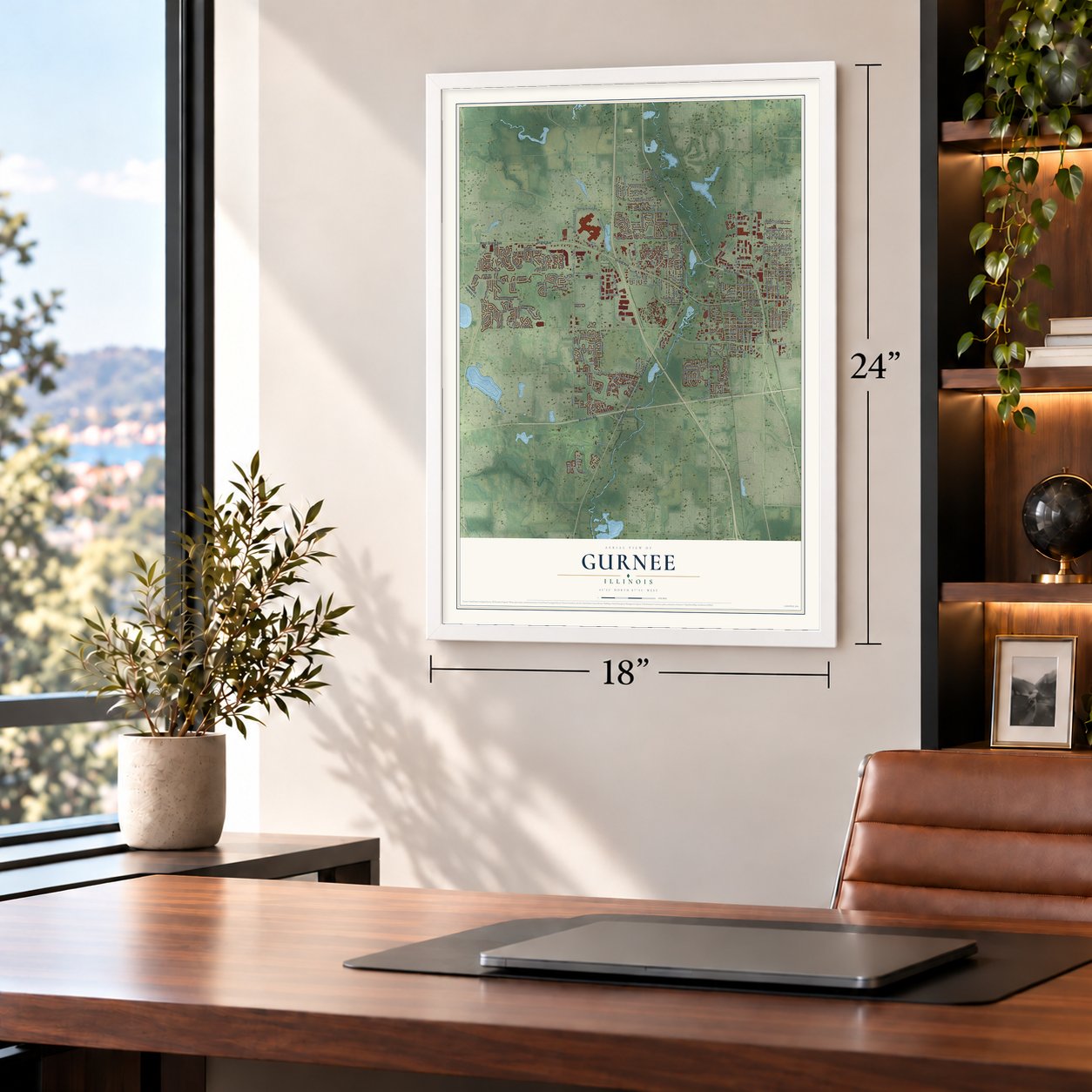

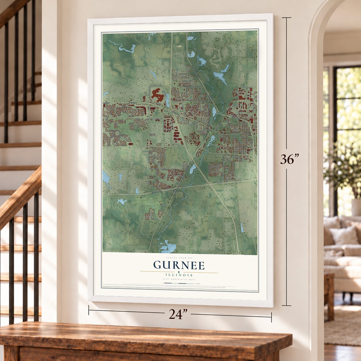

Free U.S. delivery 7 to 10 days after you order
Gurnee, Illinois Map Art
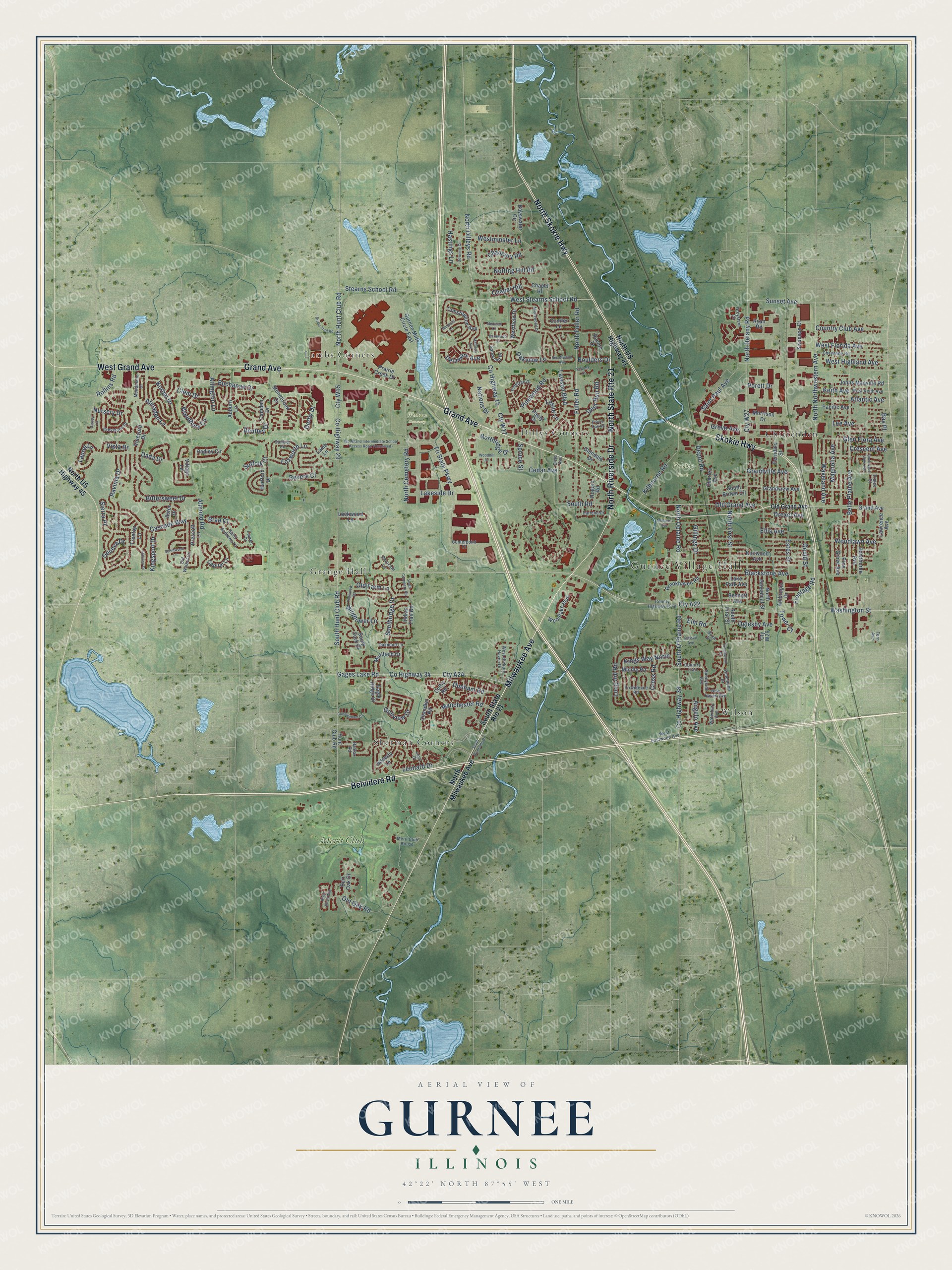
A new map of Gurnee, Illinois, made in 2026 and printed to order on thick archival matte paper.
12" x 18" Archival Matte Print
A Map of Home. A Work of Art.
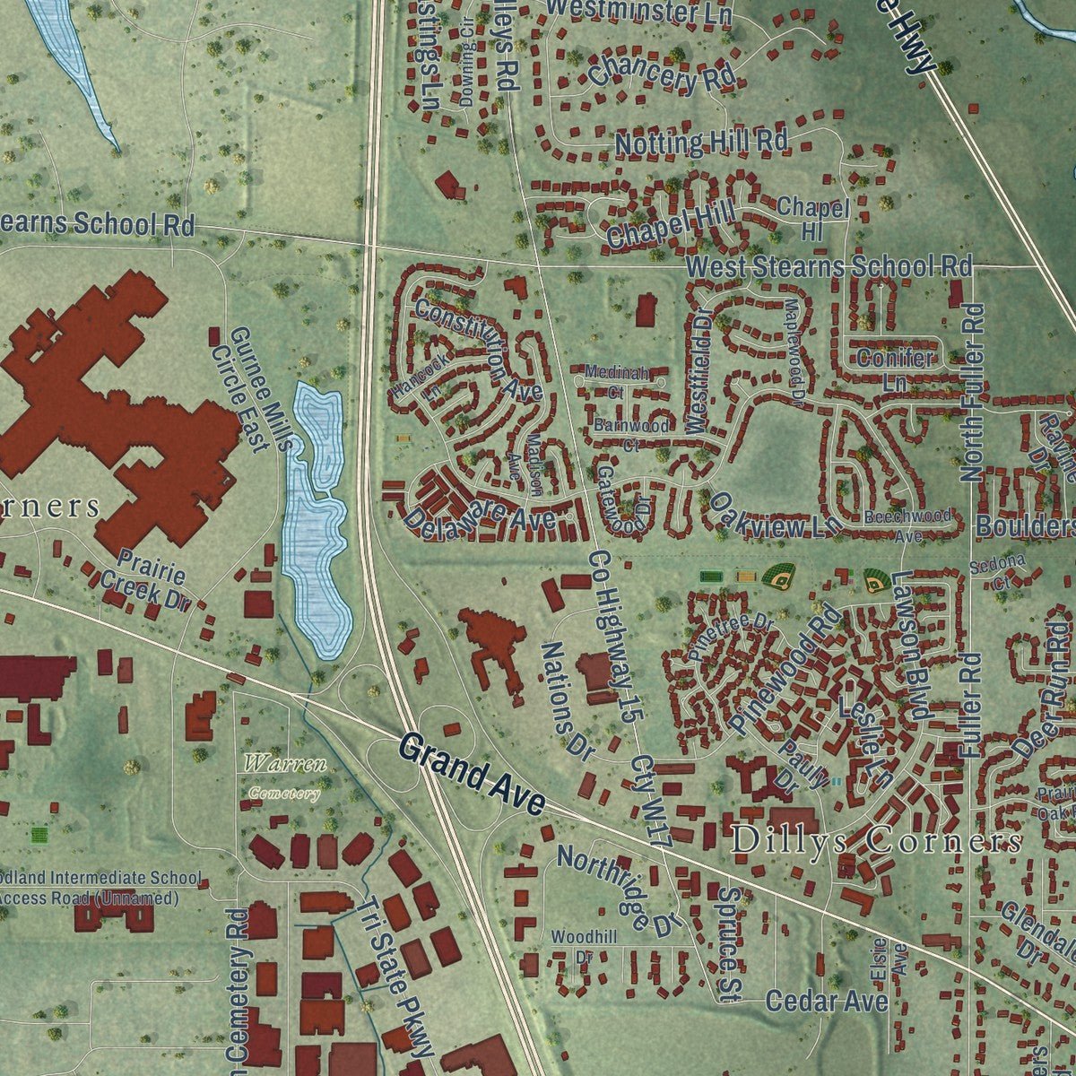
Explore Gurnee, Illinois from a whole new perspective. Created using aerial imagery and detailed geographic data, this map captures Gurnee building by building, with labeled streets, familiar landmarks, and shaded topographical relief that highlights the natural contours of the landscape.
Combining modern data with the timeless character of a vintage atlas, this map is just as interesting up close as it is beautiful on the wall. Whether you grew up in Gurnee, spent memorable years there, or call it home today, this unique map is a great way to celebrate a place that means something to you. Zoom in on the preview to look for your street, and then order a print to put your memories on the wall.
Three ways to hang it
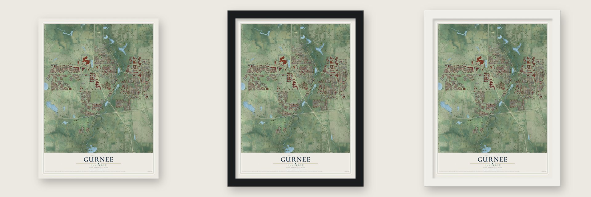
Unframed archival matte, a black wood frame or a white wood frame.
Up close
Geography Worth Displaying
This map was created using accurate cartographic data and authoritative geographic sources, including the U.S. Geological Survey and the Census Bureau. The map brings together terrain, waterways, roads, and building detail. The majority of the streets are labeled, houses are accurately depicted, and the topography is derived from government sources. Combining local data with carefully composed color and shading leads to this beautifully detailed Gurnee artwork for your wall.
Rather than simply showing street outlines, we’ve included as many of the street names as we could reasonably fit on the map while keeping their names legible. Zoom in on the high resolution preview to see exactly what’s on the map. We truly set out to create a statement piece for anyone who loves Gurnee. So whether it’s for you, or a gift for someone you love, we hope this map of Gurnee brings back fond memories.
Read the story behind this map of Gurnee, Illinois from 2026.
About Gurnee, Illinois
Gurnee is a Lake County village whose beginnings reach back to settlement near the Des Plaines River in 1835. Once called Wentworth, the community later took the name of Walter S. Gurnee, a former Chicago mayor and railroad director. The 2020 census recorded 30,706 residents, while major recreation and shopping destinations draw many visitors.
- Early SettlementAmos Bennett arrived in Gurnee in 1835 and is identified as Lake County's first African American settler.
- A Railroad NameWalter S. Gurnee developed a station at Wentworth, which became known as Gurnee Station and later simply Gurnee.
- Historic Mother Rudd HouseThis former stagecoach stop also served the Underground Railroad and now houses the Warren Township Historical Society.
- Regional DestinationsSix Flags Great America, Gurnee Mills, and Great Wolf Lodge help attract around 23 million visitors annually.
Find your street
Names on the Gurnee map
Every name below is printed on this map. Look for your street, your school, the park where you played, or the pond down the road.
Places and landmarks10
- Gurnee Village Hall
- Viking Park
- Warren Cemetery
- Chittenden
- Dillys Corners
- Grange Hall
- Lambs Corners
- Sherman Corners
- Wilson
- Merit Club
Streets and roads231
- Milwaukee Avenue
- Belvidere Road
- Grand Avenue
- Skokie Highway
- North Skokie Highway
- North State Route 21
- North Riverside Drive
- West Grand Avenue
- Cty A22
- Cty W15
- North Oplaine Road
- South O'Plaine Road
- Kings Way North
- Washington Street
- North Hunt Club Road
- County Highway 29
- County Highway 38
- Old Grand Avenue
- Arlington Lane
- Rollins Road
- North Dilleys Road
- Blackstone Avenue
- West Highland Avenue
- Cross Road
- Lawson Boulevard
- Dada Drive
- North Delany Road
- County Highway 15
- Belle Plaine Avenue
- Cty W27
Show all 231 streets
- Almond Road
- Cty W17
- Tri State Parkway
- Magnolia Avenue
- Stearns School Road
- West Stearns School Road
- Fuller Road
- Leonard Drive
- County Highway 34
- Cty A24
- Gages Lake Road
- North Northwestern Avenue
- Woodlawn Avenue
- Waveland Avenue
- Notting Hill Road
- Grove Avenue
- North Fuller Road
- Estes Street
- Old Oak Road
- Saint Paul Avenue
- Manchester Road
- South Hunt Club Road
- Grandville Avenue
- Cascade Way
- Sierra Place
- Long Hill Road
- Almaden Lane
- North First Street
- Foxworth Lane
- Derby Drive
- Kilbourne Road
- North Cemetery Road
- Bittersweet Drive
- Lakeside Drive
- Westminster Lane
- Ravinia Drive
- Lee Avenue
- Pinewood Road
- Chapel Hill
- Dunham Road
- Woodbury Circle
- Depot Road
- Chancery Road
- Southridge Drive
- Sunset Avenue
- West Florida Avenue
- Vista Drive
- Country Club Avenue
- Golfview Drive
- Korbel Drive
- Revere Court
- Atlantic Avenue
- Glen Flora Avenue
- Wildflower Lane
- Delaware Avenue
- Northridge Drive
- Nations Drive
- Deer Run Road
- South Road
- Drexel Avenue
- Ellis Avenue
- Hastings Lane
- Geneva Drive
- Elm Road
- Clem Drive
- Buchanan Drive
- Cedar Avenue
- Old Farm Lane
- Leslie Lane
- Frontage Road
- Kingsport Drive
- Bay Place
- Oglesby Avenue
- Suffolk Court
- Crescent Avenue
- Gillings Drive
- Nursery Drive
- Tower Court
- Angelo Avenue
- Bentley Drive
- Oakview Lane
- Laurel Lane
- Keith Avenue
- Boulders Drive
- Gould Street
- Porett Drive
- Spruce Street
- Brae Court
- South State Route 21
- North US Highway 41
- North US Highway 45
- North Milwaukee Avenue
- Hunt Club Road
- Vineyard Drive
- North Greenleaf Street
- Pine Grove Avenue
- Gurnee Mills Circle East
- Kenwood Avenue
- Grandview Avenue
- Ferndale Street
- Stonebrook Drive
- Chapel Hl
- Prescott Lane
- Indian Trail Road
- Swanson Court
- Pacific Avenue
- Bayswater Circle
- Ambrogio Drive
- Hawthorne Avenue
- Prairie Creek Drive
- Woodlake Boulevard
- Rogers Road
- Johns Manville Road
- Conifer Lane
- Westfield Drive
- Camden Drive
- Burr Oak Drive
- Chandler Road
- Eagle Ridge Drive
- Constitution Avenue
- Murifield Drive
- Brookhaven Road
- Colby Road
- Charles Avenue
- Capital Lane
- Glendale Drive
- Middle Road
- Adderly Lane
- Morrison Drive
- Hadley Circle
- Lawrence Avenue
- Auburn Lane
- Pauly Drive
- Hartford Drive
- South Fork Drive
- Ryan Road
- Cty W29
- Ravine Drive
- South Brown Circle
- Aster Drive
- Lake Park Avenue
- Lockwood Lane
- Bennett Avenue
- Village Lane
- Treetop Lane
- South First Street
- Lamb Lane
- County Highway 45 Street
- Country Trail
- Sunnyside Avenue
- New Haven Avenue
- Fieldstone Drive
- Merit Club House
- Greystem Circle
- Greystone Drive
- Cheyenne Road
- Providence Road
- Old Walnut Circle
- Pinetree Drive
- West Hickory Haven Drive
- Saint Andrews Lane
- Waterbury Avenue
- Darlene Drive
- Mendocino Drive
- Sumner Circle
- West Keith Avenue
- West Eastwood Avenue
- Gatewood Drive
- Oakmont Lane
- Centerpoint Court
- Elsie Avenue
- Birch Drive
- Churchill Lane
- Vose Drive
- Halifax Road
- Lauren Court
- Tralee Court
- Fern Avenue
- Beechwood Avenue
- McClure Avenue
- Tanglewood Drive
- Madison Avenue
- Russell Avenue
- Hillview Drive
- River Birch Way
- Maplewood Drive
- Prairie Oak Road
- Bridle Trail Road
- Woodhill Drive
- Medinah Court
- Barnwood Court
- Cunningham Court
- Clavey Lane
- Downing Circle
- Plainview Road
- Hancock Lane
- Boulevard View Avenue
- South Riverside Drive
- South Cemetery Road
- Brentwood Lane
- Sedona Court
Names are listed as they appear on the printed map. Zoom into the product photos to find them.
The art of mapping a place
How This Map Was Made
Real places. Remarkable detail. Discover the layers that turn geographic data into a map of home.

The view from above
Aerial imagery reveals the character of the land: woodland, open fields, and the patterns of a place.

The shape of the land
Elevation data brings hills, valleys, and subtle changes in the landscape into view.

The details of home
Roads, waterways, and building footprints come together to make the map feel unmistakably local.

Geography becomes art
Considered color, shading, and typography bring the layers together in a map made for your wall.


Process illustrated with Mendon, Massachusetts. Aerial imagery: USDA NAIP. Terrain: USGS 3D Elevation Program. Map details and finished artwork: KNOWOL.
The Details
About This Print
Choose an archival matte print, or a black or white Ayous wood frame. The archival matte print is unframed.
Select your size and finish above to see the matching product image and price.
Materials & Craftsmanship
A contemporary map with the character of a classic atlas, printed on archival matte paper. Optional frames are made from Ayous wood.
Your printed map does not include the watermark shown in the full-map preview.
Shipping & Delivery
Free shipping within the United States. Every print is made to order in the USA.
Buying a gift? Add a note in your cart and we'll include it. We never put prices in the package.
Prints ship within 2 to 3 business days. Allow 7 to 10 days total from ordering for delivery. Timing may vary during holidays or periods of high order volume.
Read our shipping policy.
Returns and damaged prints
Each print is made to order. Change-of-mind refunds are not available after production.
If your print arrives damaged, misprinted or incorrect, contact support@knowol.com within 30 days of receiving it. Include your order number, photos and a description of the issue.
Read our full refund and replacement policy. For questions about your order, email support@knowol.com.
Find your town
Looking for another city?
Find a map of home in our Illinois collection, or any town in the country.
Nearby
Maps of towns near Gurnee
Know someone from one of these towns? Their map makes a great gift.
 Park City
, Illinois
From $39.99See the map
 Gages Lake
, Illinois
From $39.99See the map
 Grandwood Park
, Illinois
From $39.99See the map
More maps nearby: Waukegan, Third Lake, Old Mill Creek, Green Oaks and Grayslake.