
Search for another town
Free U.S. delivery 7 to 10 days after you order
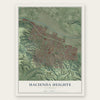
Hacienda Heights, California Map Art
Building by building, with labeled streets and shaded relief.
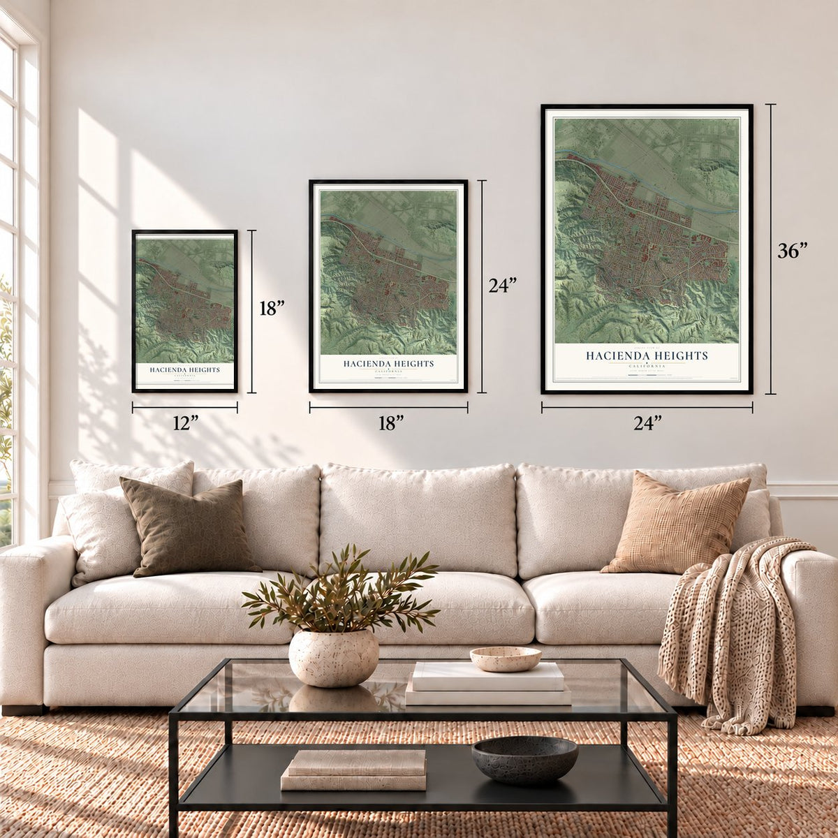
12" x 18" Archival Matte Print
A Map of Home. A Work of Art.
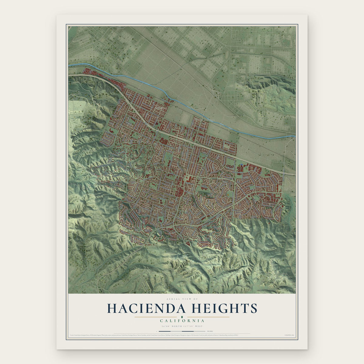
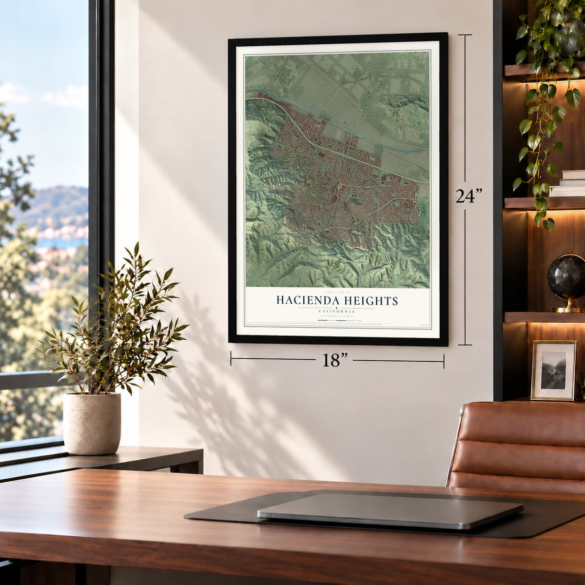
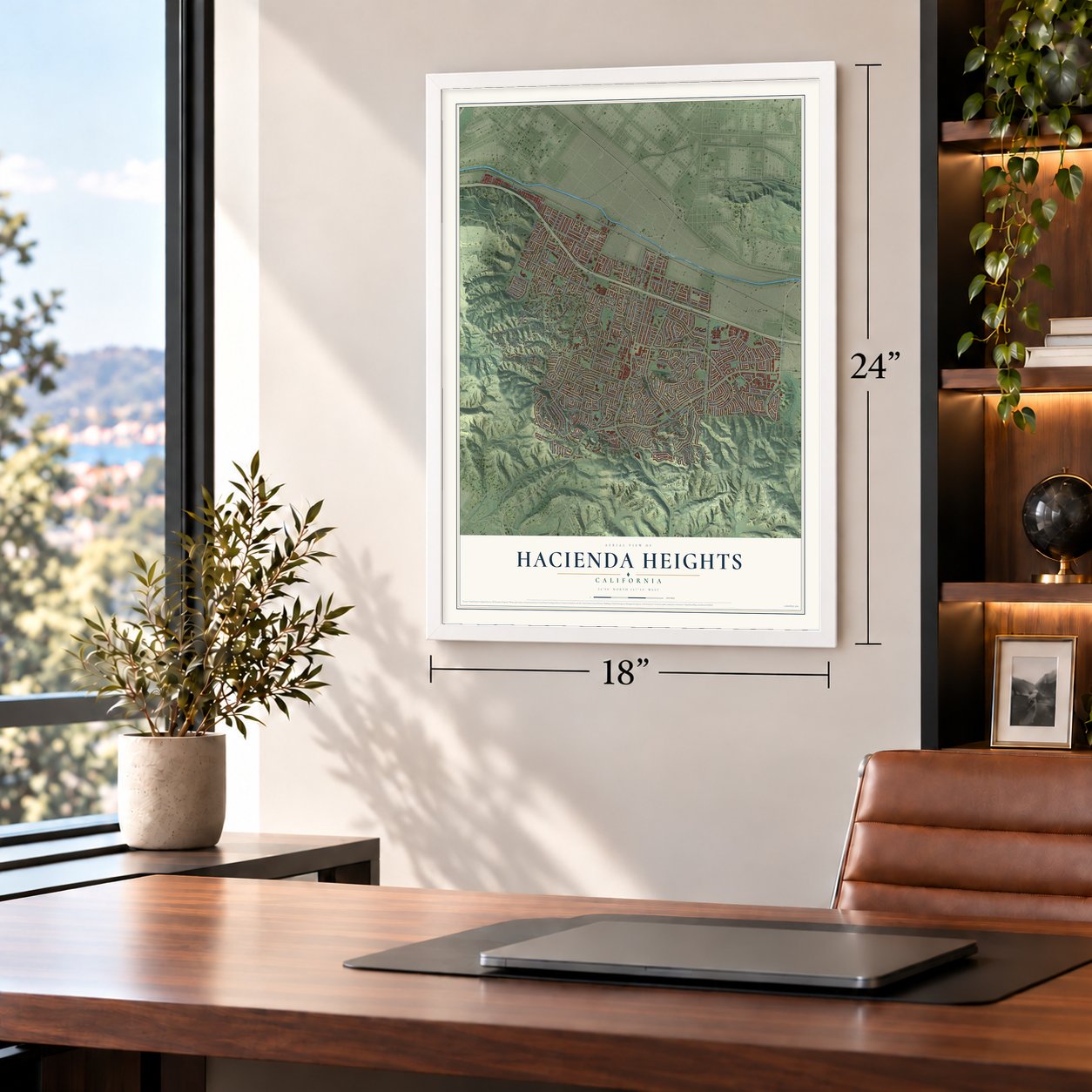
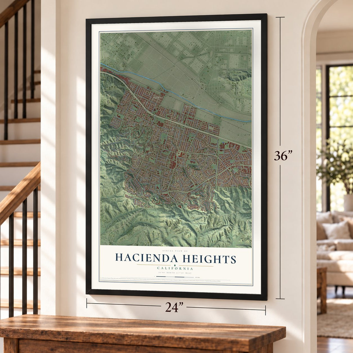
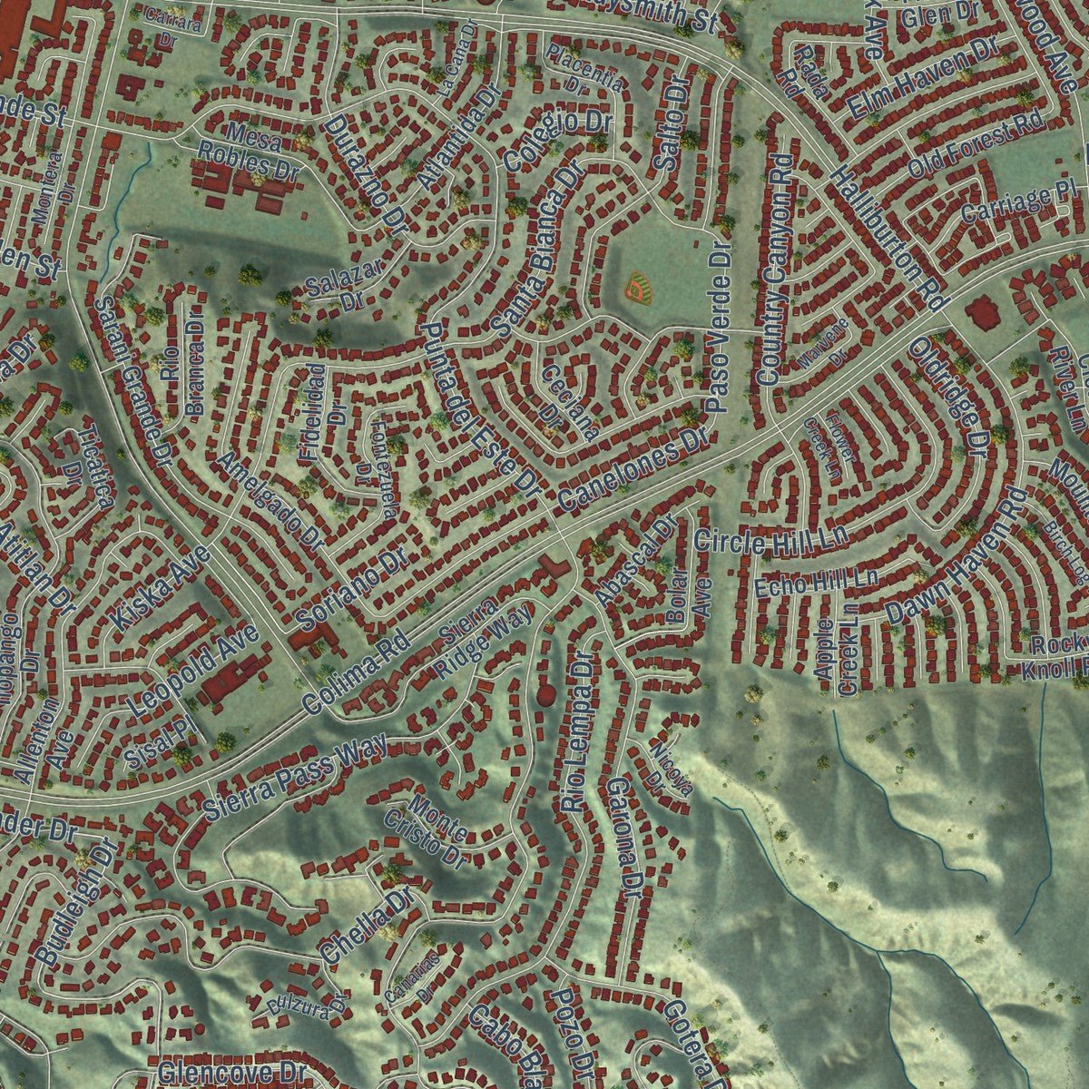
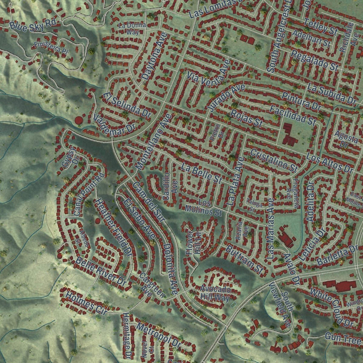
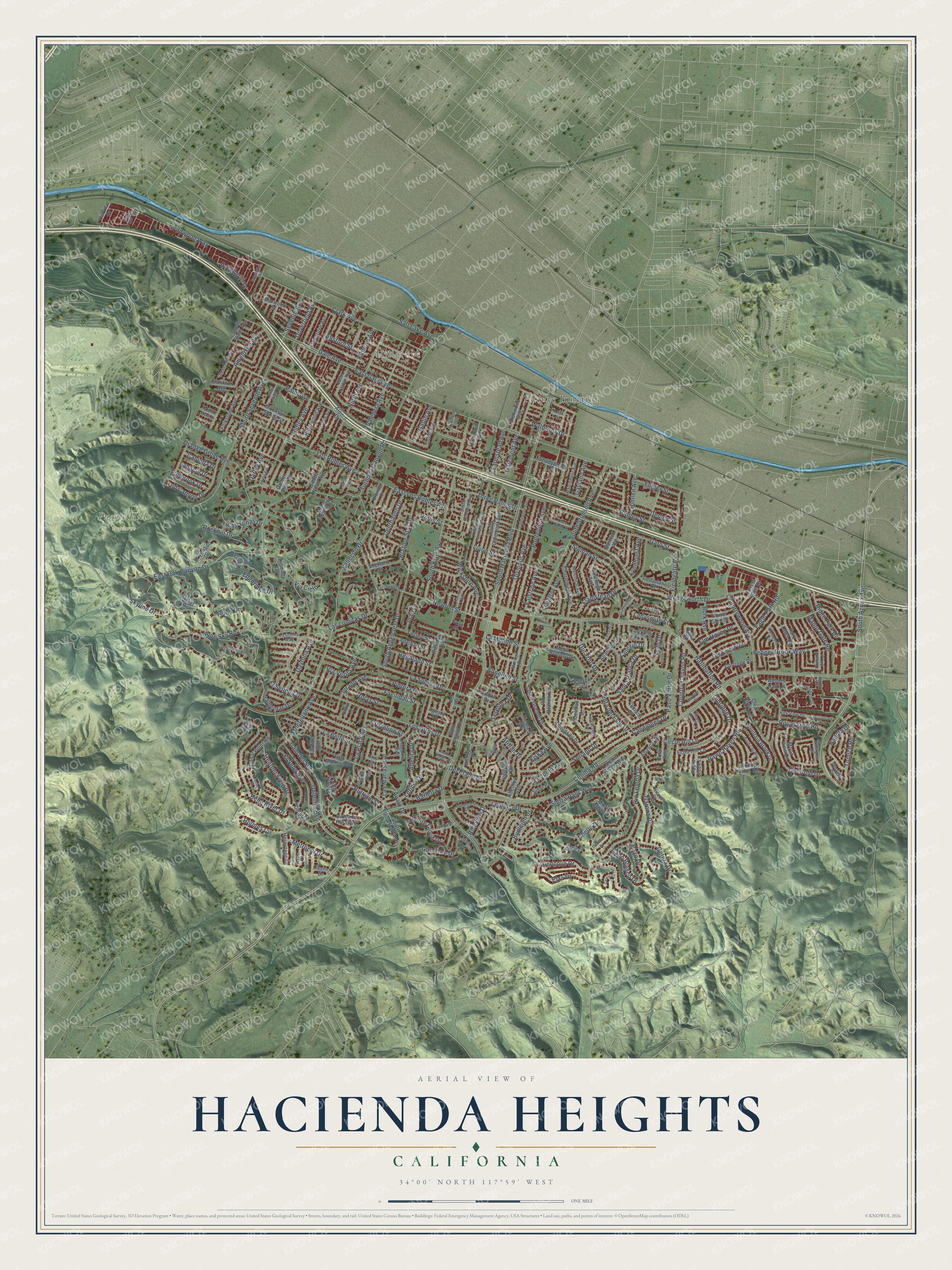
Explore Hacienda Heights, California from a whole new perspective. Created using aerial imagery and detailed geographic data, this map captures Hacienda Heights building by building, with labeled streets, familiar landmarks, and shaded topographical relief that highlights the natural contours of the landscape.
Combining modern data with the timeless character of a vintage atlas, this map is just as interesting up close as it is beautiful on the wall. Whether you grew up in Hacienda Heights, spent memorable years there, or call it home today, this unique map is a great way to celebrate a place that means something to you. Zoom in on the preview to look for your street, and then order a print to put your memories on the wall.
Three ways to hang it
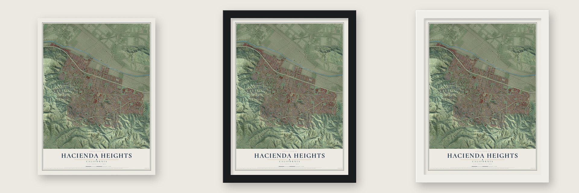
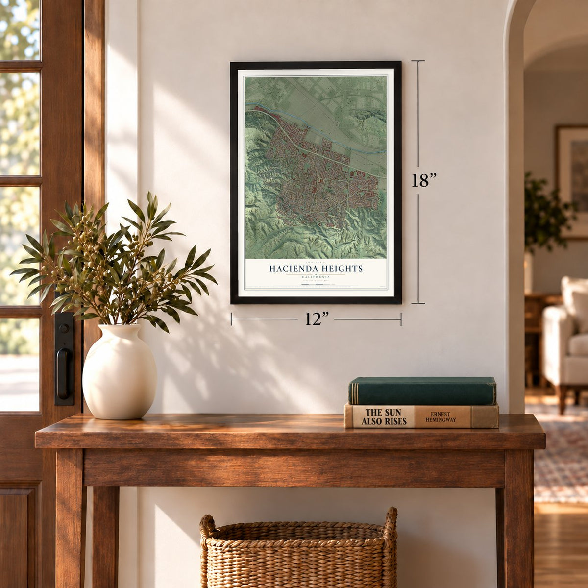
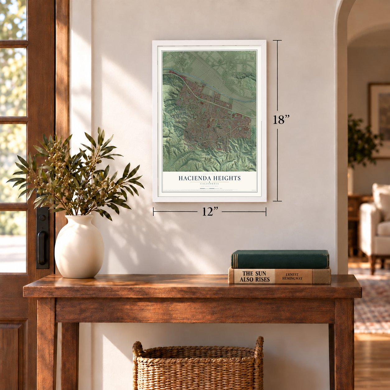
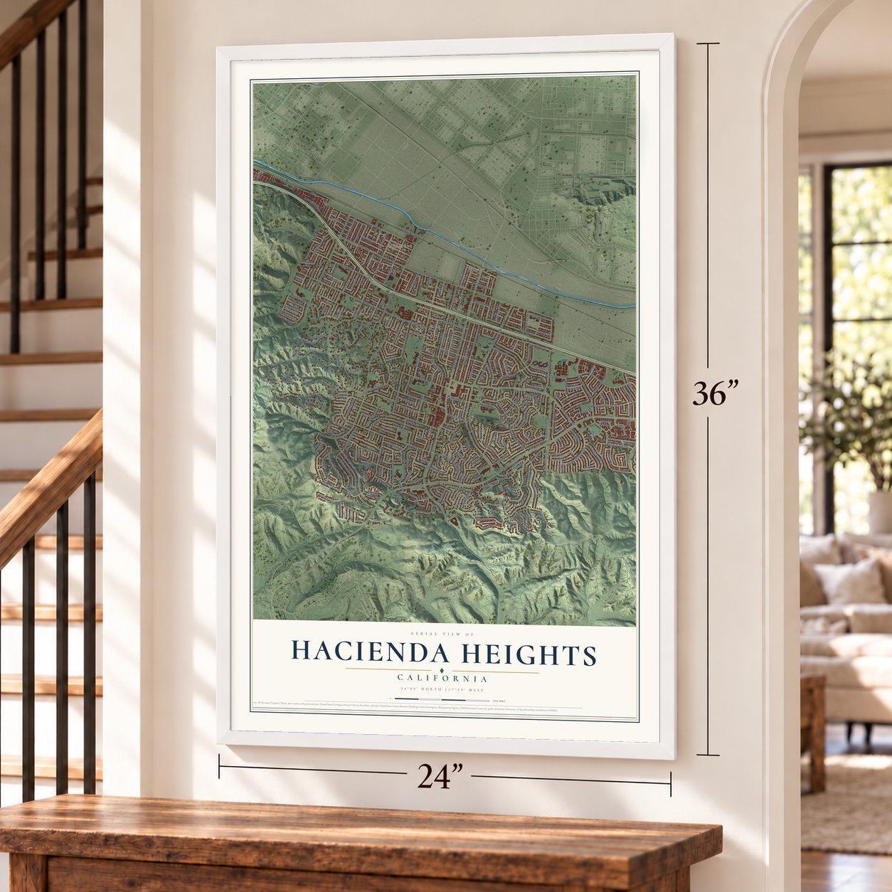
Unframed archival matte, a black wood frame or a white wood frame.
Up close
Geography Worth Displaying
This map was created using accurate cartographic data and authoritative geographic sources, including the U.S. Geological Survey and the Census Bureau. The map brings together terrain, waterways, roads, and building detail. The majority of the streets are labeled, houses are accurately depicted, and the topography is derived from government sources. Combining local data with carefully composed color and shading leads to this beautifully detailed Hacienda Heights artwork for your wall.
Rather than simply showing street outlines, we’ve included as many of the street names as we could reasonably fit on the map while keeping their names legible. Zoom in on the high resolution preview to see exactly what’s on the map. We truly set out to create a statement piece for anyone who loves Hacienda Heights. So whether it’s for you, or a gift for someone you love, we hope this map of Hacienda Heights brings back fond memories.
Read the story behind this map of Hacienda Heights, California from 2026.
Find your street
Names on the Hacienda Heights map
Every name below is printed on this map. Look for your street, your school, the park where you played, or the pond down the road.
Places and landmarks3
- Hillgrove
- Puente Hills Preserve
- Puente Junction
Streets and roads272
- South Azusa Avenue
- Wildwood Way
- Richview Drive
- Leander Drive
- Wedgeworth Drive
- Newton Street
- Budleigh Drive
- Gale Avenue
- Seventh Avenue
- Greenbrier Drive
- Colima Road
- South Hacienda Boulevard
- Turnbull Canyon Road
- East Gale Avenue
- Halliburton Road
- South Stimson Avenue
- Los Altos Drive
- Punta del Este Drive
- Vallecito Drive
- Binney Street
- Del Prado Drive
- Garo Street
- Edgeridge Drive
- South Kwis Avenue
- South Seventh Avenue
- La Subida Drive
- Clark Avenue
- Los Robles Avenue
- Walbrook Drive
- La Monde Street
Show all 272 streets
- Pontenova Avenue
- Countrywood Avenue
- Palm Avenue
- Cam del Sur
- Skyline Drive
- Denley Street
- Montellano Avenue
- Lujon Street
- Orange Grove Avenue
- East Oak Canyon Drive
- Ridley Avenue
- Las Lomitas Drive
- Old Canyon Drive
- Pintura Drive
- Regalado Street
- Santa Bianca Drive
- Olympus Avenue
- Three Palms Drive
- Sigman Street
- Glencove Drive
- Sierra Pass Way
- Folger Street
- Ameluxen Avenue
- Dolonita Avenue
- Tetley Street
- South Angelcrest Drive
- Rio Lempa Drive
- Fieldgate Avenue
- Chella Drive
- Falstone Avenue
- Leticia Drive
- Pepper Brook Way
- Ninth Avenue
- Dawn Haven Road
- Belle River Drive
- Garona Drive
- Country Canyon Road
- Canelones Drive
- Las Tunas Drive
- Valencia Avenue
- Hollis Street
- La Plata Avenue
- Paso Verde Drive
- Elza Drive
- East Los Robles Avenue
- Galemont Avenue
- Jurado Avenue
- Adelita Drive
- Hinnen Avenue
- Kiska Avenue
- Tomich Road
- Durazno Drive
- Soriano Drive
- Blazing Star Drive
- Doverfield Avenue
- Ladysmith Street
- Flamstead Drive
- Gun Tree Drive
- Via Cielo
- La Belle Street
- Heather Field Drive
- Joan Drive
- El Sebo Avenue
- Kinbrae Avenue
- Salto Drive
- Holmes Circle
- Ansford Street
- Cristalino Street
- Facilidad Street
- Gotera Drive
- Royal View Road
- Wickshire Avenue
- Manor Gate Road
- Ridge Park Drive
- Deerhaven Drive
- El Selinda Drive
- Nadula Drive
- Blue Sky Road
- Las Marias Avenue
- White Cloud Drive
- Eagle Park Road
- Via Verita Avenue
- Leopold Avenue
- Rockhill Drive
- Teton Drive
- Daytona Avenue
- Cabo Blanco Drive
- Oldridge Drive
- Circle Hill Lane
- Atitlan Drive
- Rojas Street
- Elm Haven Drive
- Salt Lake Avenue
- Metropol Drive
- Farmstead Avenue
- Gayland Avenue
- Barletta Drive
- Pozo Drive
- Eadbrook Drive
- Glenfold Drive
- Gatlin Avenue
- Lyndhurst Avenue
- Bork Avenue
- Langhill Drive
- Annellen Street
- Cabinda Drive
- Avalo Drive
- Valdemar Drive
- Teresina Drive
- Buttram Street
- Colegio Drive
- Darley Avenue
- Hillview Drive
- Shadybend Drive
- Charlemont Avenue
- Marwood Street
- South Galemont Avenue
- Barford Avenue
- Larchwood Avenue
- Folkstone Avenue
- Allenton Avenue
- Finegrove Avenue
- Avocado Terrace
- La Mesita Drive
- South Ninth Avenue
- Richdale Avenue
- Amelgado Drive
- Riderwood Avenue
- South Viewfield Avenue
- Mountain Brook Drive
- Athel Drive
- Sierra Ridge Way
- Cardillo Avenue
- Tamarix Drive
- Sarani Grande Drive
- Los Molinos Street
- Canal Point Road
- Park Lawn Road
- Mesa Robles Drive
- Eastleigh Avenue
- Atlantida Drive
- Shefford Street
- Cargreen Avenue
- Avocado Hill Way
- Cold Plains Drive
- Mountain Spring Street
- El Venado Drive
- Carriage Place
- Old Forest Road
- Ilopango Drive
- Echo Hill Lane
- Fidelidad Drive
- Ticatica Drive
- Adelhart Street
- Cedarlane Drive
- Moon View Drive
- Craighton Avenue
- Rio Branca Drive
- Monte Cristo Drive
- Flower Hill Lane
- Clear River Lane
- Abascal Drive
- Dunswell Avenue
- Flower Glen Drive
- Rada Road
- Rocky Knoll Road
- Dodrill Drive
- Hermitage Drive
- Abbots Hall Lane
- Forest Glen Drive
- Salazar Drive
- Bolar Avenue
- Ceciana Drive
- Frankton Avenue
- South Sixth Avenue
- Gypsy Drive
- Apple Creek Lane
- Yojoa Place
- Golden View Drive
- Jeslew Court
- Antisana Place
- Agosta Drive
- Casino Drive
- Sisal Place
- Alpern Drive
- Lotus Drive
- Evergreen Drive
- Beech Hill Avenue
- South Farmstead Avenue
- Matchleaf Avenue
- Fragancia Avenue
- South Dunswell Avenue
- Orchard Hill Lane
- Rochlen Street
- Montera Drive
- South Jarrow Avenue
- Fontezuela Drive
- Turnpost Lane
- Lonecrest Drive
- Marchmont Avenue
- Coble Avenue
- Placentia Drive
- Stovall Avenue
- Janlu Avenue
- Kirk View Drive
- Dulzura Drive
- Finisterra Place
- Azaria Avenue
- Pietro Drive
- Citrus Place
- Elberglen Drive
- Green View Terrace
- Nicoya Drive
- Drumhill Drive
- La Donna Way
- Novel Court
- Del Vista Drive
- Lancewood Avenue
- Novak Street
- East La Moine Street
- Kennard Street
- Birch Log Way
- Windrush Drive
- La Cana Drive
- Taloga Street
- Humford Avenue
- Marvene Drive
- Greenridge Terrace
- East Newton Street
- Three Palms Street
- Sonnet Place
- Highwood Road
- Aleppo Place
- Adalia Avenue
- Silver Maple Drive
- Piermont Drive
- Casco Court
- Flower Creek Lane
- Canarias Drive
- Autumn Moon Drive
- Carrara Drive
- Albedo Street
Names are listed as they appear on the printed map. Zoom into the product photos to find them.
About Hacienda Heights, California
Hacienda Heights is an unincorporated community of 54,191 people, set in Los Angeles County's San Gabriel Valley. Its land was once part of Rancho La Puente, which Mission San Gabriel Arcángel worked under Spanish rule. In 1845 John A. Rowland and William Workman gained the rancho through a Mexican land grant, and Elias "Lucky" Baldwin bought it in the mid-1870s.
Anita Baldwin, one of his descendants, sold the land in 1912 to Edwin Hart and Jet Torrance. They split it into lots the next year and called it North Whittier Heights, and orchards of avocados, citrus and walnuts soon covered the slopes. Pests and disease made citrus a losing crop from the Great Depression into the early 1940s, so houses took the place of the groves. Building sped up in the 1950s, the county library opened a branch here in 1960, and in 1961 the community took the name Hacienda Heights.
- Hsi Lai Temple, 1988Hsi Lai, whose name means "Coming West," is a branch of Taiwan's Fo Guang Shan and the largest Buddhist temple in North America. It was finished in 1988 on 15 acres, built in the manner of Ming and Qing dynasty monasteries with Chinese gardens and statues, to serve as a center for Buddhism and Chinese culture.
- Early California Days since 1966Every summer since 1966, St. John Vianney Catholic Church has held a weeklong carnival called Early California Days, also known as Harvest in the Heights. Families come for the rides, games, food and music, and the week ends with a grand raffle that pays out cash prizes.
- The wagon wheel gameSince the 1970s, Los Altos High School and Glen A. Wilson High School have met every year in a football rivalry. The winner takes home a trophy shaped like a wagon wheel and keeps it until the next game.
- Cityhood voted down in 2003In 2003 voters decided whether Hacienda Heights should become a city. Supporters said a city could control growth and pay for more police and fire protection, while opponents warned of higher taxes and homes torn down for businesses that brought in revenue. The City of Industry had already annexed most of the best commercial land, and the measure lost by about two to one.
Keep exploring California
Hacienda Heights is one of 1,990 California towns we've mapped. Every dot on the map is a print of its own.
The search covers every state, California first.
Near Hacienda Heights
Order 2 or more town maps and save 10%. Shown in the size and finish you picked above, so they hang as a set.
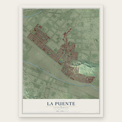
- La Puente 12" x 18" / Archival Matte Print $39.99
- Industry 12" x 18" / Archival Matte Print $39.99
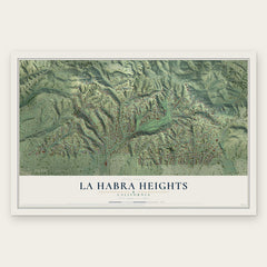
- La Habra Heights 12" x 18" / Archival Matte Print $39.99

More maps nearby: Avocado Heights, Whittier, West Puente Valley, Valinda and Rose Hills.
The art of mapping a place
How This Map Was Made
Real places. Remarkable detail. Discover the layers that turn geographic data into a map of home.

The view from above
Aerial imagery reveals the character of the land: woodland, open fields, and the patterns of a place.

The shape of the land
Elevation data brings hills, valleys, and subtle changes in the landscape into view.

The details of home
Roads, waterways, and building footprints come together to make the map feel unmistakably local.

Geography becomes art
Considered color, shading, and typography bring the layers together in a map made for your wall.


Process illustrated with Mendon, Massachusetts. Aerial imagery: USDA NAIP. Terrain: USGS 3D Elevation Program. Map details and finished artwork: KNOWOL.
The Details
About This Print
Choose an archival matte print, or a black or white Ayous wood frame. The archival matte print is unframed.
Select your size and finish above to see the matching product image and price.
Materials & Craftsmanship
A contemporary map with the character of a classic atlas, printed on archival matte paper. Optional frames are made from Ayous wood.
Your printed map does not include the watermark shown in the full-map preview.
Shipping & Delivery
Free shipping within the United States. Every print is made to order in the USA.
Buying a gift? Add a note in your cart and we'll include it. We never put prices in the package.
Prints ship within 2 to 3 business days. Allow 7 to 10 days total from ordering for delivery. Timing may vary during holidays or periods of high order volume.
Read our shipping policy.
Returns and damaged prints
Each print is made to order. Change-of-mind refunds are not available after production.
If your print arrives damaged, misprinted or incorrect, contact support@knowol.com within 30 days of receiving it. Include your order number, photos and a description of the issue.
Read our full refund and replacement policy. For questions about your order, email support@knowol.com.