
Search for another town
Free U.S. delivery 7 to 10 days after you order
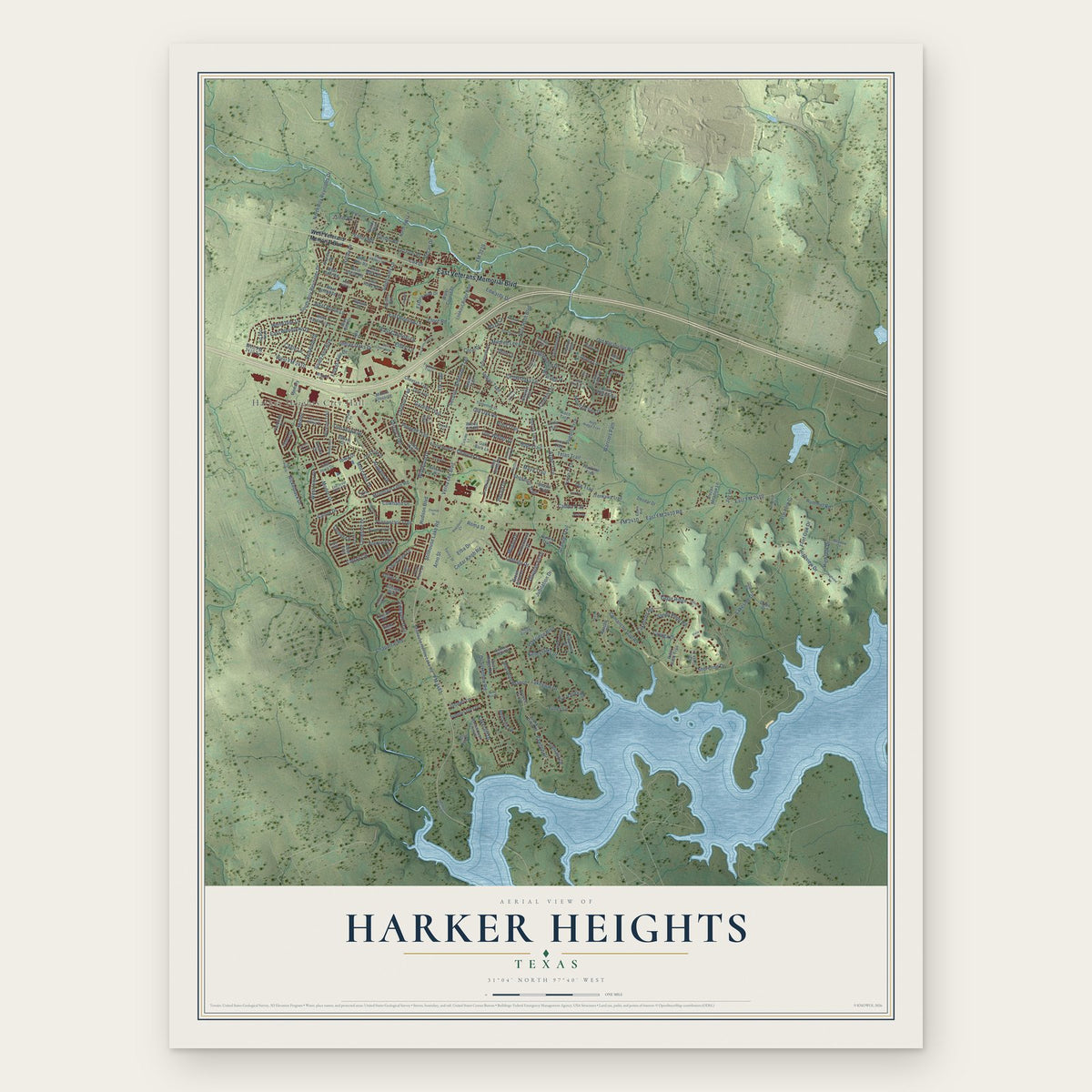
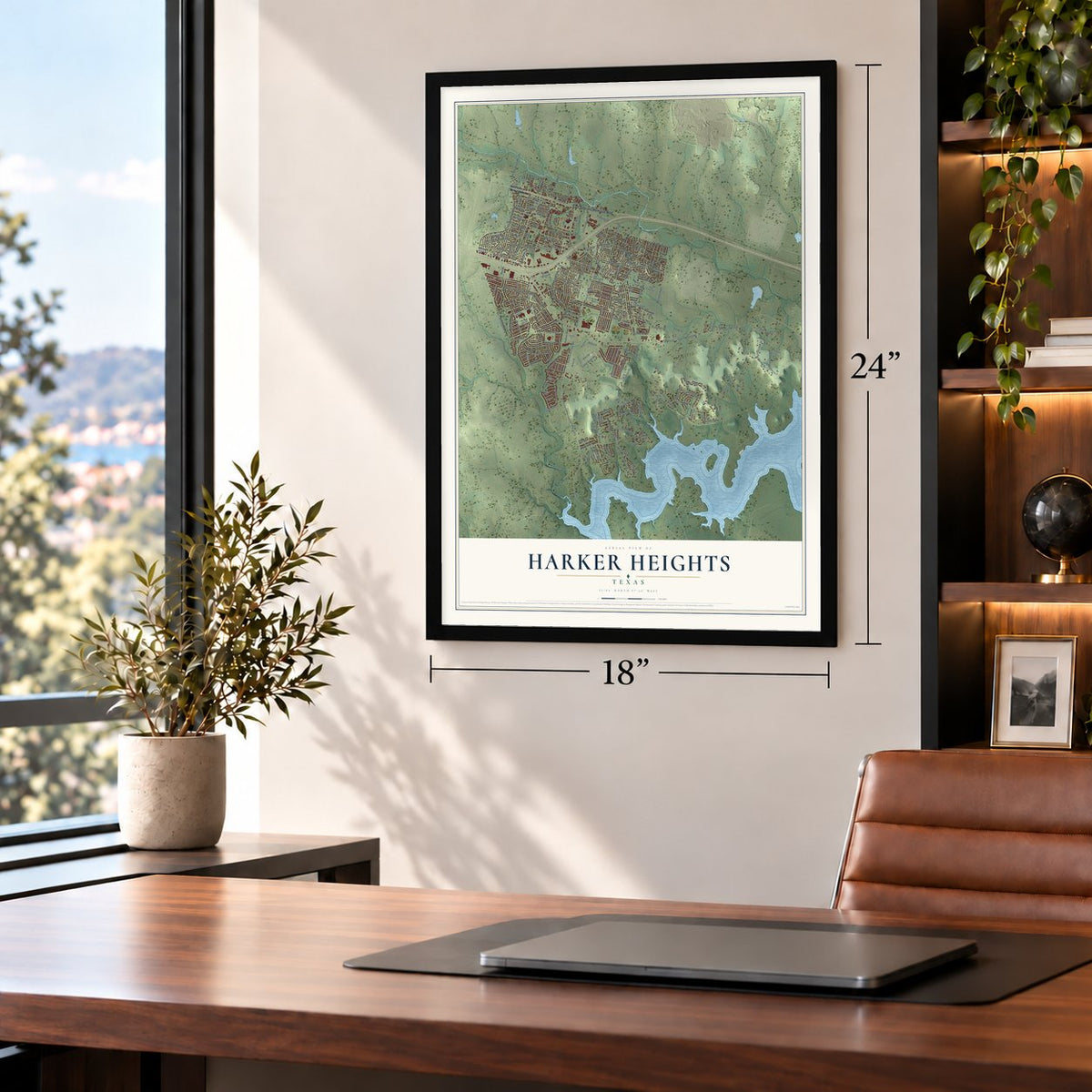
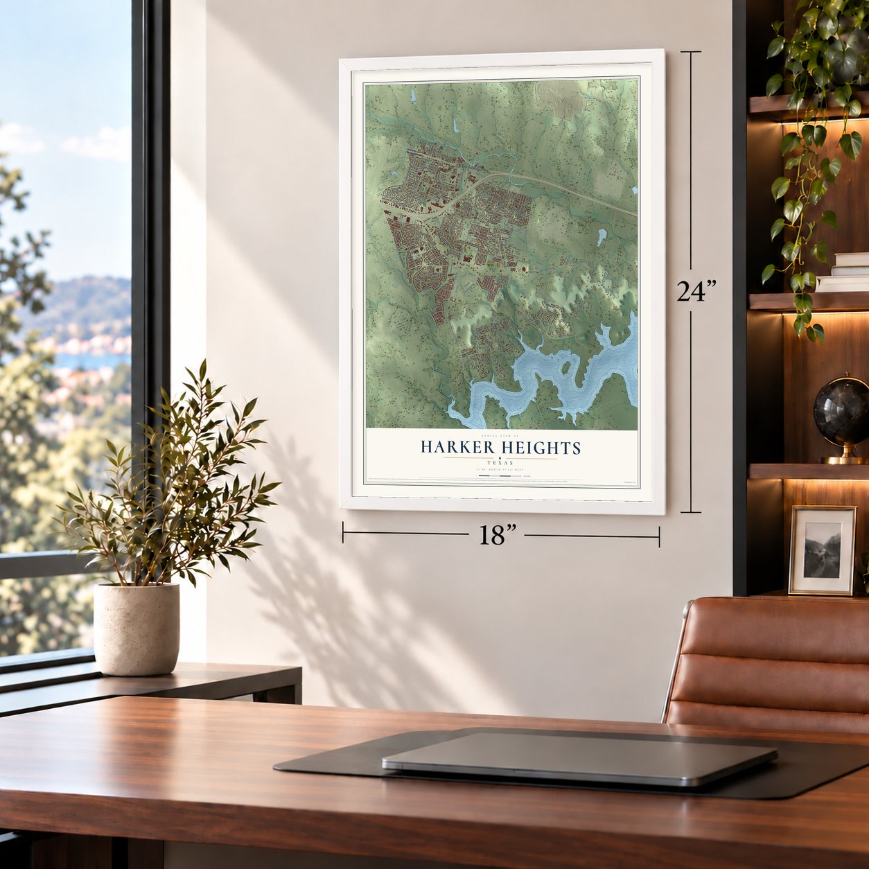
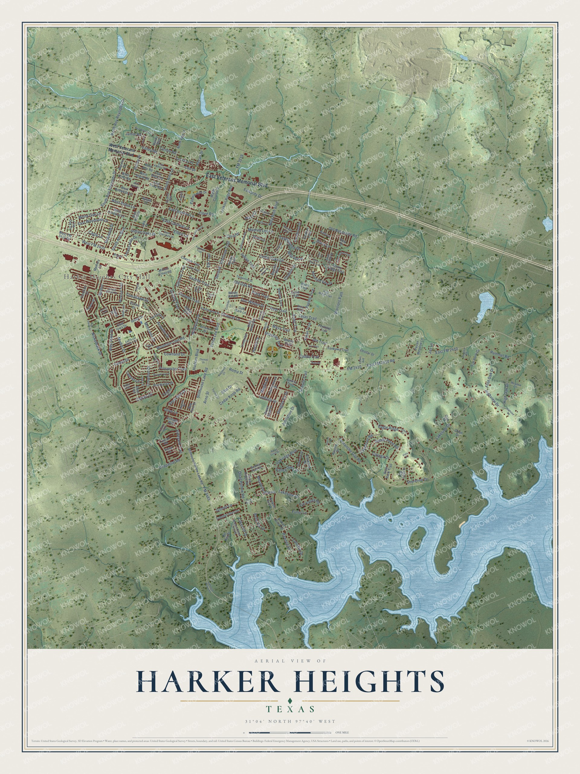
Harker Heights, Texas Map Art
Building by building, with labeled streets and shaded relief.
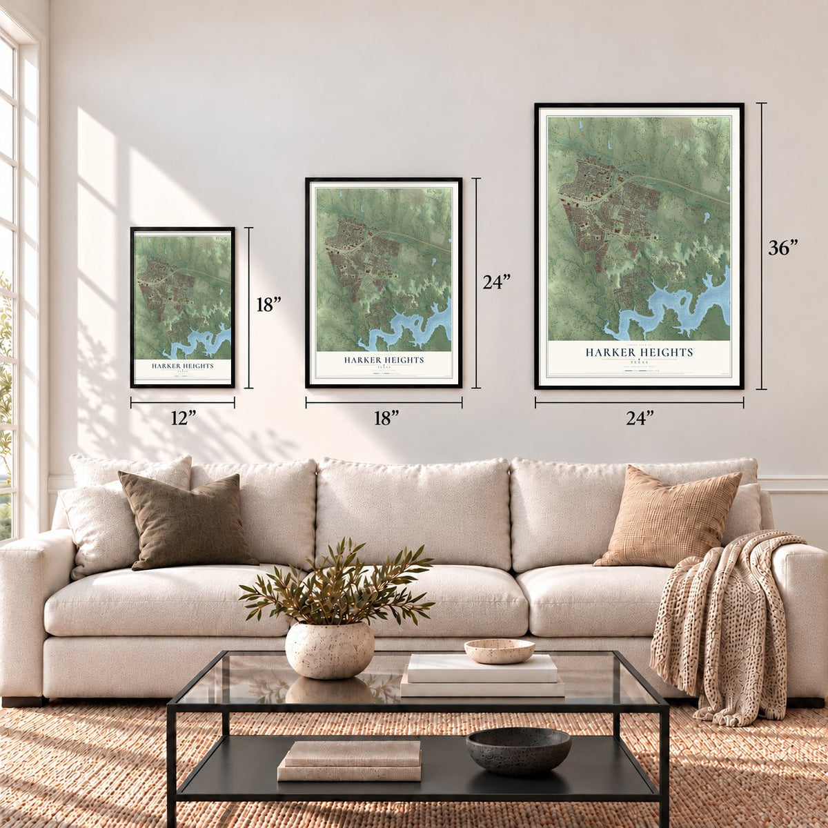
12" x 18" Archival Matte Print
A Map of Home. A Work of Art.
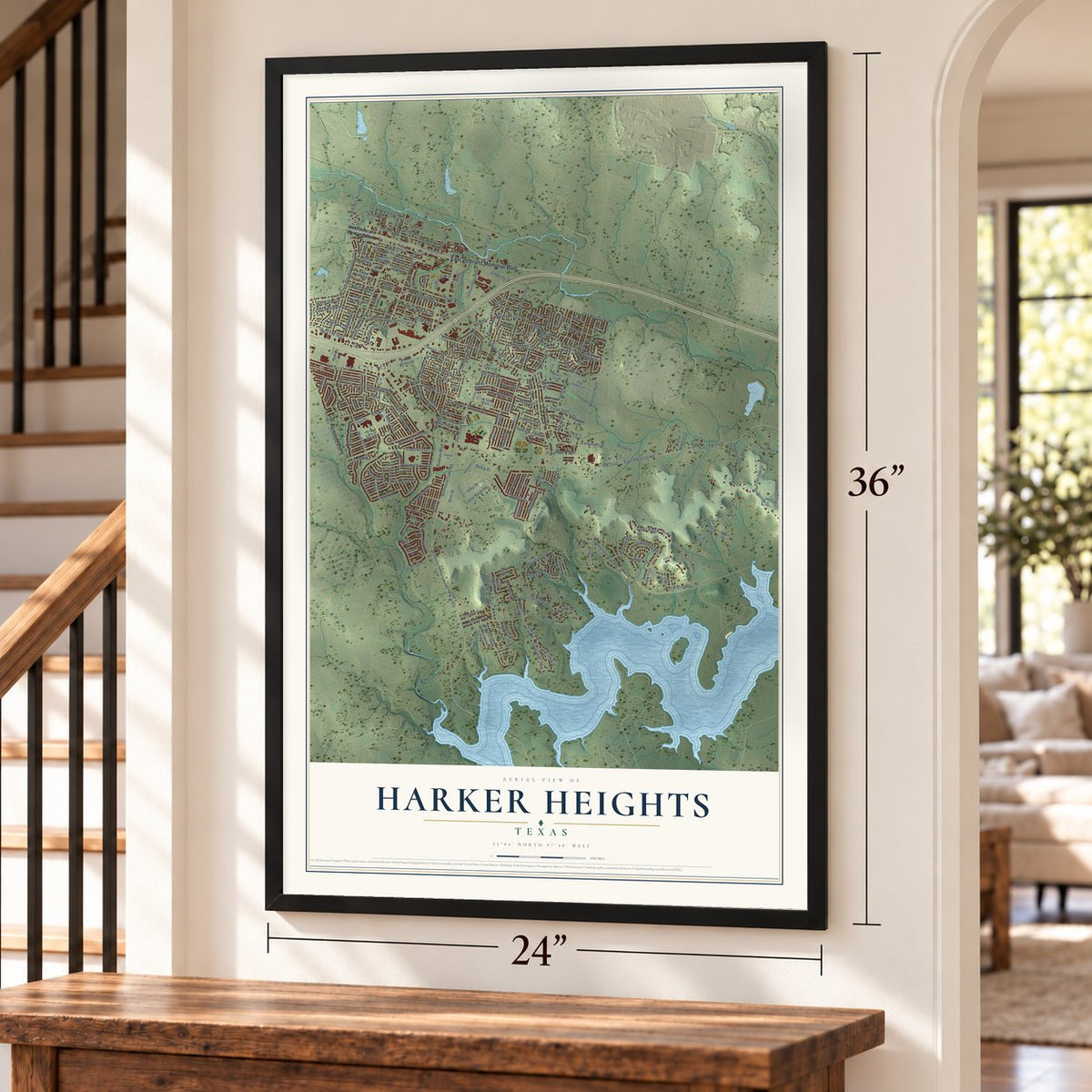
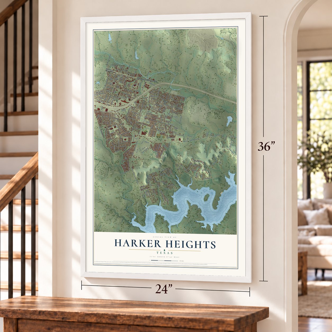
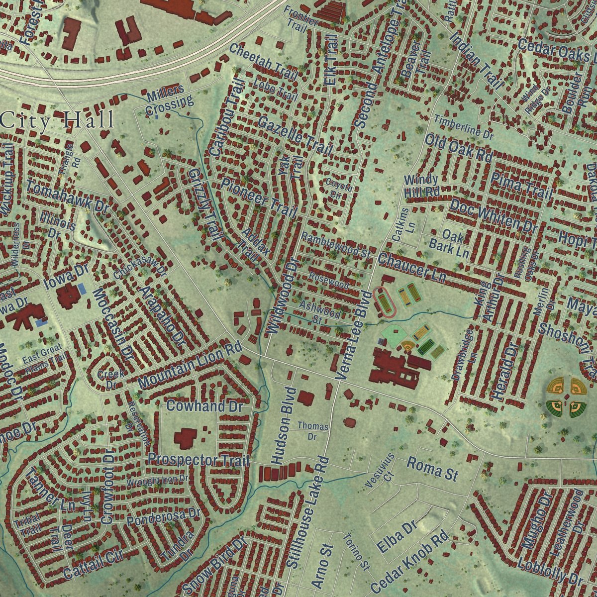
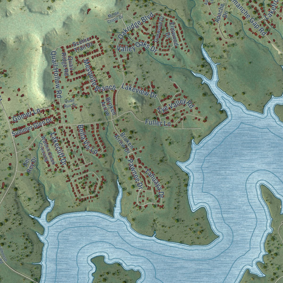
Explore Harker Heights, Texas from a whole new perspective. Created using aerial imagery and detailed geographic data, this map captures Harker Heights building by building, with labeled streets, familiar landmarks, and shaded topographical relief that highlights the natural contours of the landscape.
Combining modern data with the timeless character of a vintage atlas, this map is just as interesting up close as it is beautiful on the wall. Whether you grew up in Harker Heights, spent memorable years there, or call it home today, this unique map is a great way to celebrate a place that means something to you. Zoom in on the preview to look for your street, and then order a print to put your memories on the wall.
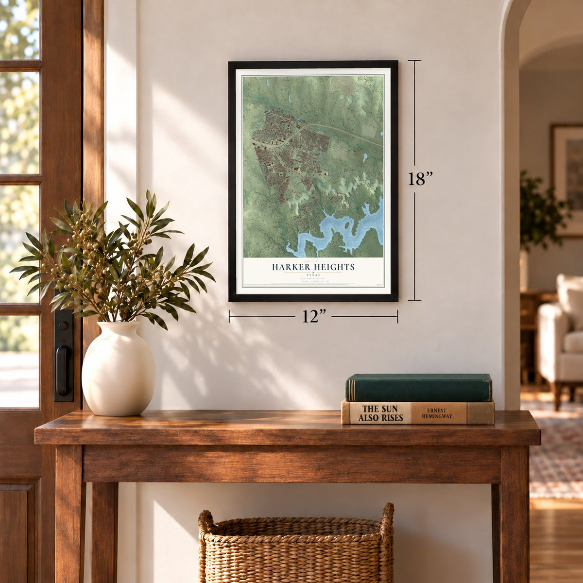
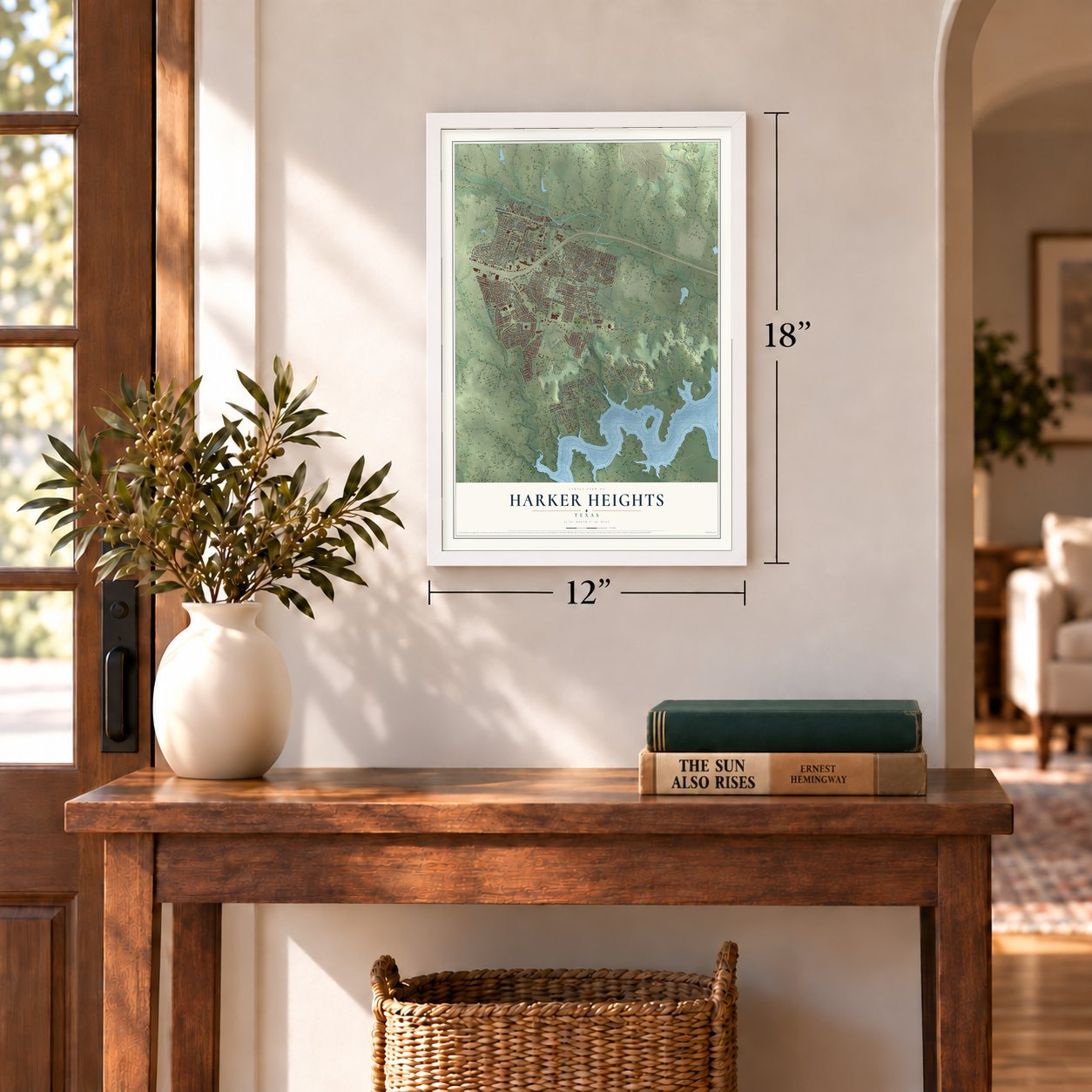
Three ways to hang it
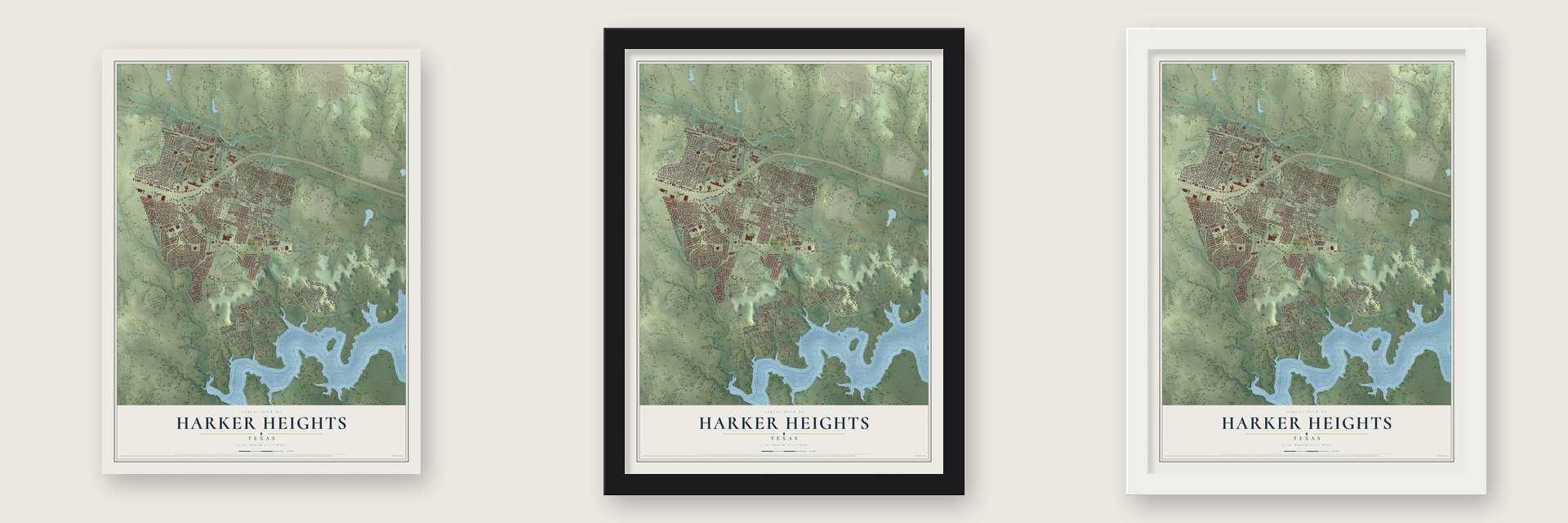
Unframed archival matte, a black wood frame or a white wood frame.
Up close
Geography Worth Displaying
This map was created using accurate cartographic data and authoritative geographic sources, including the U.S. Geological Survey and the Census Bureau. The map brings together terrain, waterways, roads, and building detail. The majority of the streets are labeled, houses are accurately depicted, and the topography is derived from government sources. Combining local data with carefully composed color and shading leads to this beautifully detailed Harker Heights artwork for your wall.
Rather than simply showing street outlines, we’ve included as many of the street names as we could reasonably fit on the map while keeping their names legible. Zoom in on the high resolution preview to see exactly what’s on the map. We truly set out to create a statement piece for anyone who loves Harker Heights. So whether it’s for you, or a gift for someone you love, we hope this map of Harker Heights brings back fond memories.
Read the story behind this map of Harker Heights, Texas from 2026.

Find your street
Names on the Harker Heights map
Every name below is printed on this map. Look for your street, your school, the park where you played, or the pond down the road.
Places and landmarks1
- Harker Heights City Hall
Streets and roads256
- East Veterans Memorial Boulevard
- East FM 2410 Road
- Verna Lee Boulevard
- Stillhouse Lake Road
- FM 2410
- South Roy Reynolds Drive
- Cedar Knob Road
- West FM 2410
- Wildwood Drive
- FM 3481
- East FM 2410
- Pawnee Drive
- West Iowa Drive
- South Amy Lane
- Iowa Drive
- Indian Trail
- Comanche Gap Road
- Warriors Path
- Mountain Lion Road
- Fuller Lane
- Prospector Trail
- South Ann Boulevard
- Cedar Oaks Lane
- Oakridge Boulevard
- Harley Drive
- Cattail Circle
- Snow Bird Drive
- Old Nolanville Road
- Vineyard Trail
- Lakeside Drive
Show all 256 streets
- Eagle Ridge
- Nola Ruth Boulevard
- East Beeline Lane
- Shoreline Drive
- Quail Hollow Road
- High Oak Drive
- Lakecliff Drive
- Aztec Trce
- Antelope Trail
- Highview Drive
- Cayuga Drive
- Indian Oaks Drive
- Clore Road
- Modoc Drive
- Tanglewood Drive
- Tejas Trail
- Crowfoot Drive
- Pima Trail
- Elk Trail
- Pioneer Trail
- North Roy Reynolds Drive
- Arapaho Drive
- Edwards Drive
- Hopi Trail
- Chaparral Road
- Loblolly Drive
- Ute Trail
- Shoshoni Trail
- Lakefront Road
- Modoc
- Canoe Drive
- Grizzly Trail
- Elbert Lane
- Valley Oaks Drive
- Rummel Road
- Chaucer Lane
- Turnbo Road
- Cox Drive
- East Cardinal Lane
- East Woodlawn Drive
- Forest Hills Drive
- Bella Vis Lp
- Tomahawk Drive
- Mildred Lee Lane
- Gazelle Trail
- Doc Whiten Drive
- Sandy Point Road
- Diana Lane
- Old Oak Road
- Nickelback Drive
- Caribou Trail
- Tye Valley Road
- Pueblo Trce
- Second
- West Robin Lane
- Lakeview Drive
- Douglas Fir Drive
- FM 3219
- Moccasin Drive
- Mesquite Branch
- White Oak Lane
- Maya Trail
- Herald Drive
- Tahuaya Drive
- Hudson Boulevard
- Redwood Drive
- Gomer Lane
- Jubilation Drive
- Yuron Trce
- Cowhand Drive
- Caddo Trail
- Arno Street
- Granite Trail
- Mugho Drive
- Flint Oak Drive
- Plaza Court
- Pecan Drive
- Olive Lane
- Valley Road
- Cagle Lane
- Tanner Lane
- Jamie Road
- Elba Drive
- Chablis Drive
- Roma Street
- Coral Drive
- Jay Lane
- West Veterans Memorial Boulevard
- West FM 2410 Road
- Stillhouse Hollow Lake Road
- Millers Crossing
- Rocky Ridge Trail
- Red Fern Drive
- Broken Arrow Drive
- Memory Lane
- Ponderosa Drive
- Tundra Drive
- Dakota Trce
- River Rock Trail
- Lookout Ridge Boulevard
- Beaver Trail
- Windy Hill Road
- Pontotoc Trce
- North Amy Lane
- Mountain View Drive
- Wickiup Trail
- Cheetah Trail
- Addax Trail
- Apache Drive
- Waco Trce
- Yak Trail
- King Arthur Drive
- West Arlo Road
- West Ruby Road
- Eastern Hills Drive
- Blue Bird Drive
- Yuma Trail
- Orlan Drive
- Quail Ridge Road
- Boulder Run
- Leatherwood Drive
- West Bobwhite Lane
- Water Course Drive
- Summer Glen Drive
- Tonkawa Trail
- Paintbrush Drive
- Wildridge Drive
- West Cardinal Lane
- Deer Trail
- Del Rey Drive
- Lark Drive
- Tuscan Road
- Live Oak Drive
- East Ruby Road
- Gina Drive
- Broken Arrow
- Pecan Meadow Lane
- Flat Rock Cv
- Scenic Trail Drive
- East Mark Road
- East Iowa Drive
- Quarry Trail
- Green Giant Drive
- West Stacie Road
- Shasta Trail
- Citation Loop
- Elmwood Drive
- Deodar Drive
- Bonnie Drive
- Caroline Court
- Randy Boulevard
- Illinois Drive
- Tepee Drive
- Oak Bark Lane
- Shine Lane
- Inca Trce
- Rally Lane
- Vintage Way
- Omaha Drive
- Siena Court
- Bybee Court
- Ivy Lane
- Ramblewood Street
- High Ridge Trail
- East Cherokee Drive
- Frontier Trail
- Creek Drive
- East Valley Road
- Silver Creek Drive
- Fall Creek Drive
- Rattlesnake Road
- Merlin Drive
- East Kathey Road
- Orlan Road
- Torino Street
- Chickasaw Drive
- Iron Jacket Trail
- Ashwood Street
- Snake Dance Drive
- Oakwood Drive
- Walden Creek Crossing
- Laguna Drive
- Timberline Drive
- Brittney Way
- Lobo Trail
- Drawbridge Lane
- Meadow Circle
- Vesuvius Court
- Tribal Trail
- Wichita Street
- Country Road
- Tru Trail
- Cedro Avenue
- Catkins Lane
- Ruiz Drive
- West Nolan Trail
- Wrought Iron Drive
- Triangle Road
- Highview Road
- Lathes Circle
- Apache Loop
- Rustling Oaks Drive
- Jorgette Drive
- Dorothy Lane
- Cliffside Drive
- Reservation Drive
- Wind Ridge Drive
- West Dove Lane
- Sun Dance Drive
- Rosewood
- Pan American Drive
- Harvest Loop
- Sutton Place Trail
- East Great Plains Trail
- Mountain Laurel
- Preswick Drive
- Thomas Drive
- Wilderness Drive
- Lynn Drive
- Stillhouse Hollow Road
- Monte Cristo Drive
- Quail Run Drive
- Province Point
- Coyote Circle
- Vista Drive
- Love Court
Names are listed as they appear on the printed map. Zoom into the product photos to find them.
About Harker Heights, Texas
Located in Texas, Harker Heights is a city within Bell County. The 2020 census recorded 33,097 residents.
- 33,097 residentsThe Census Bureau recorded this population in 2020.
- Bell CountyThis city is part of the county.
- Established in 1955Historical accounts place Harker Heights's establishment in 1955.
- 15.2 square milesThe Census Bureau reports a total area of 15.2 square miles.
Keep exploring Texas
Harker Heights is one of 2,049 Texas towns we've mapped. Every dot on the map is a print of its own.
The search covers every state, Texas first.
Near Harker Heights
Order 2 or more town maps and save 10%. Shown in the size and finish you picked above, so they hang as a set.
- Nolanville 12" x 18" / Archival Matte Print $39.99
- Killeen 12" x 18" / Archival Matte Print $39.99
- Belton 12" x 18" / Archival Matte Print $39.99


More maps nearby: Fort Hood, Salado, Morgan's Point Resort, Temple and Copperas Cove.
The art of mapping a place
How This Map Was Made
Real places. Remarkable detail. Discover the layers that turn geographic data into a map of home.

The view from above
Aerial imagery reveals the character of the land: woodland, open fields, and the patterns of a place.

The shape of the land
Elevation data brings hills, valleys, and subtle changes in the landscape into view.

The details of home
Roads, waterways, and building footprints come together to make the map feel unmistakably local.

Geography becomes art
Considered color, shading, and typography bring the layers together in a map made for your wall.


Process illustrated with Mendon, Massachusetts. Aerial imagery: USDA NAIP. Terrain: USGS 3D Elevation Program. Map details and finished artwork: KNOWOL.
The Details
About This Print
Choose an archival matte print, or a black or white Ayous wood frame. The archival matte print is unframed.
Select your size and finish above to see the matching product image and price.
Materials & Craftsmanship
A contemporary map with the character of a classic atlas, printed on archival matte paper. Optional frames are made from Ayous wood.
Your printed map does not include the watermark shown in the full-map preview.
Shipping & Delivery
Free shipping within the United States. Every print is made to order in the USA.
Buying a gift? Add a note in your cart and we'll include it. We never put prices in the package.
Prints ship within 2 to 3 business days. Allow 7 to 10 days total from ordering for delivery. Timing may vary during holidays or periods of high order volume.
Read our shipping policy.
Returns and damaged prints
Each print is made to order. Change-of-mind refunds are not available after production.
If your print arrives damaged, misprinted or incorrect, contact support@knowol.com within 30 days of receiving it. Include your order number, photos and a description of the issue.
Read our full refund and replacement policy. For questions about your order, email support@knowol.com.