
Search for another town




Free U.S. delivery 7 to 10 days after you order
Hartford, New Jersey Map Art
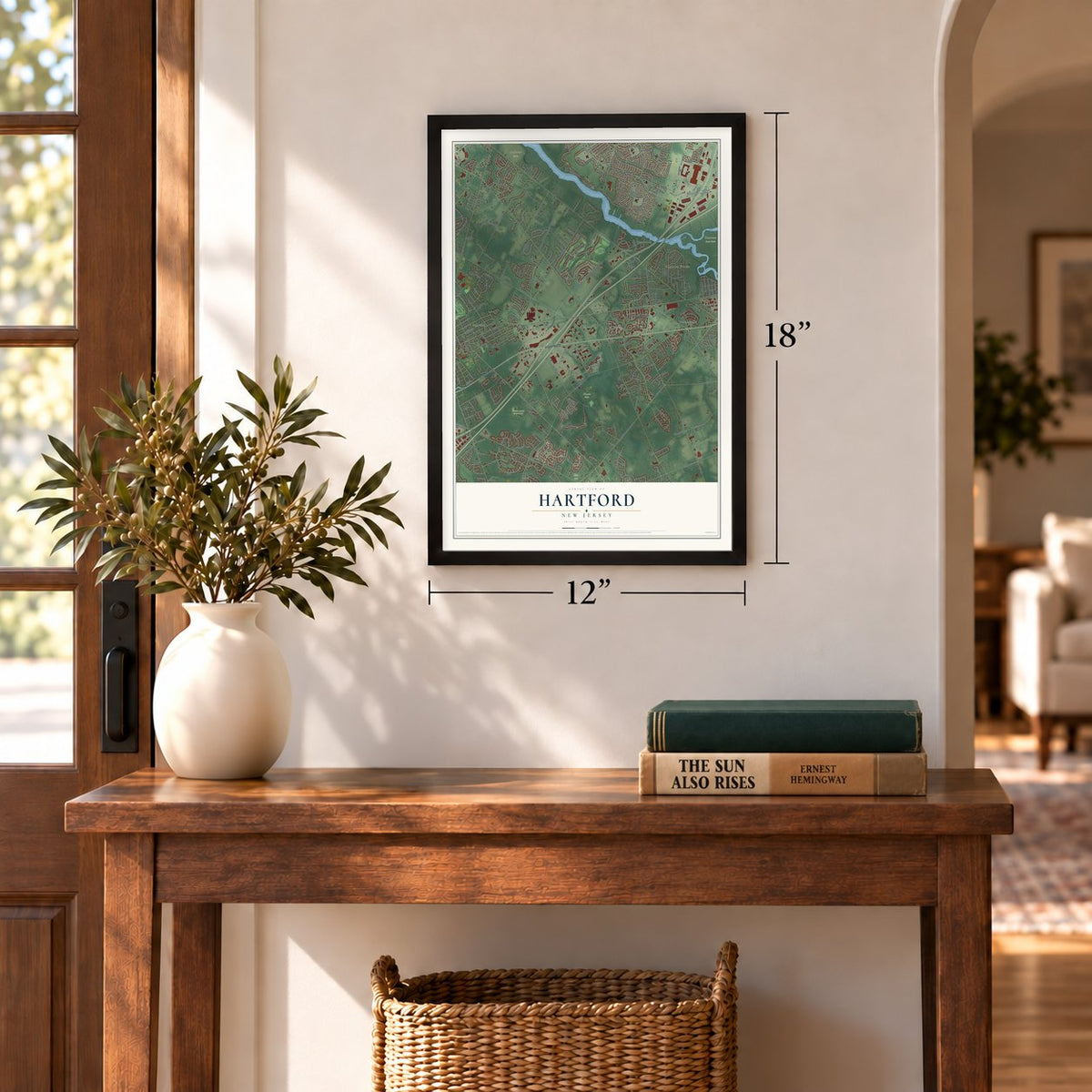
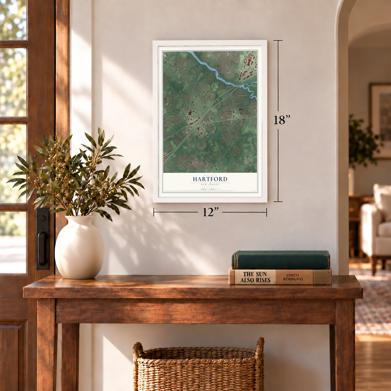
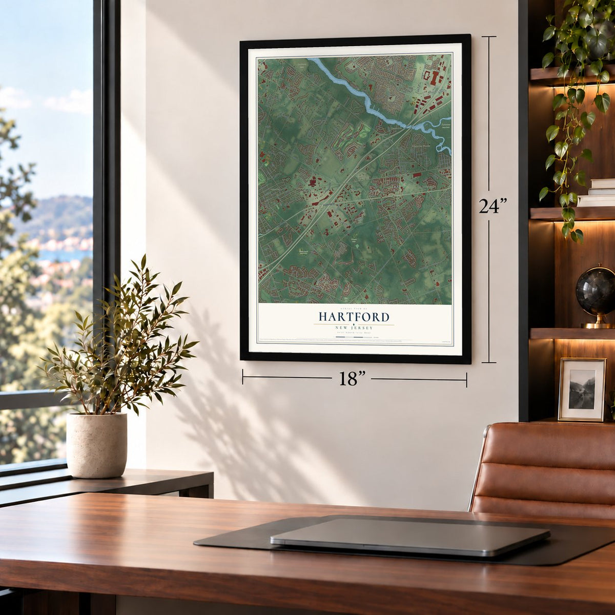
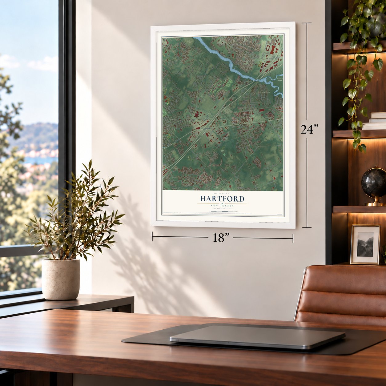
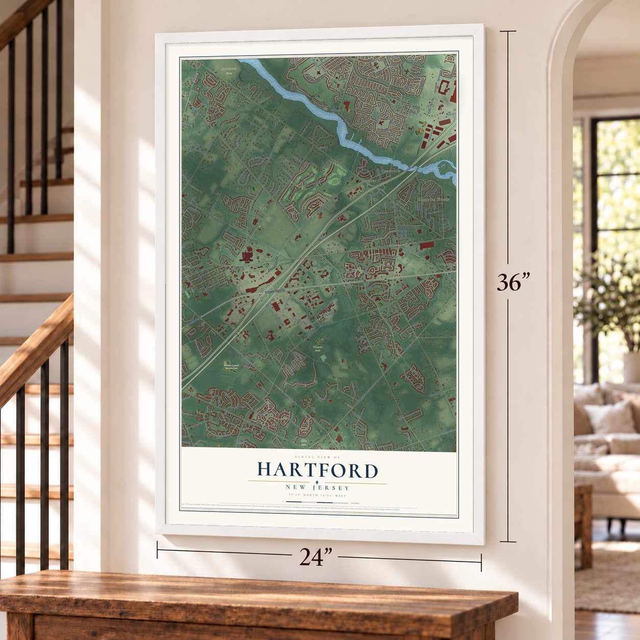
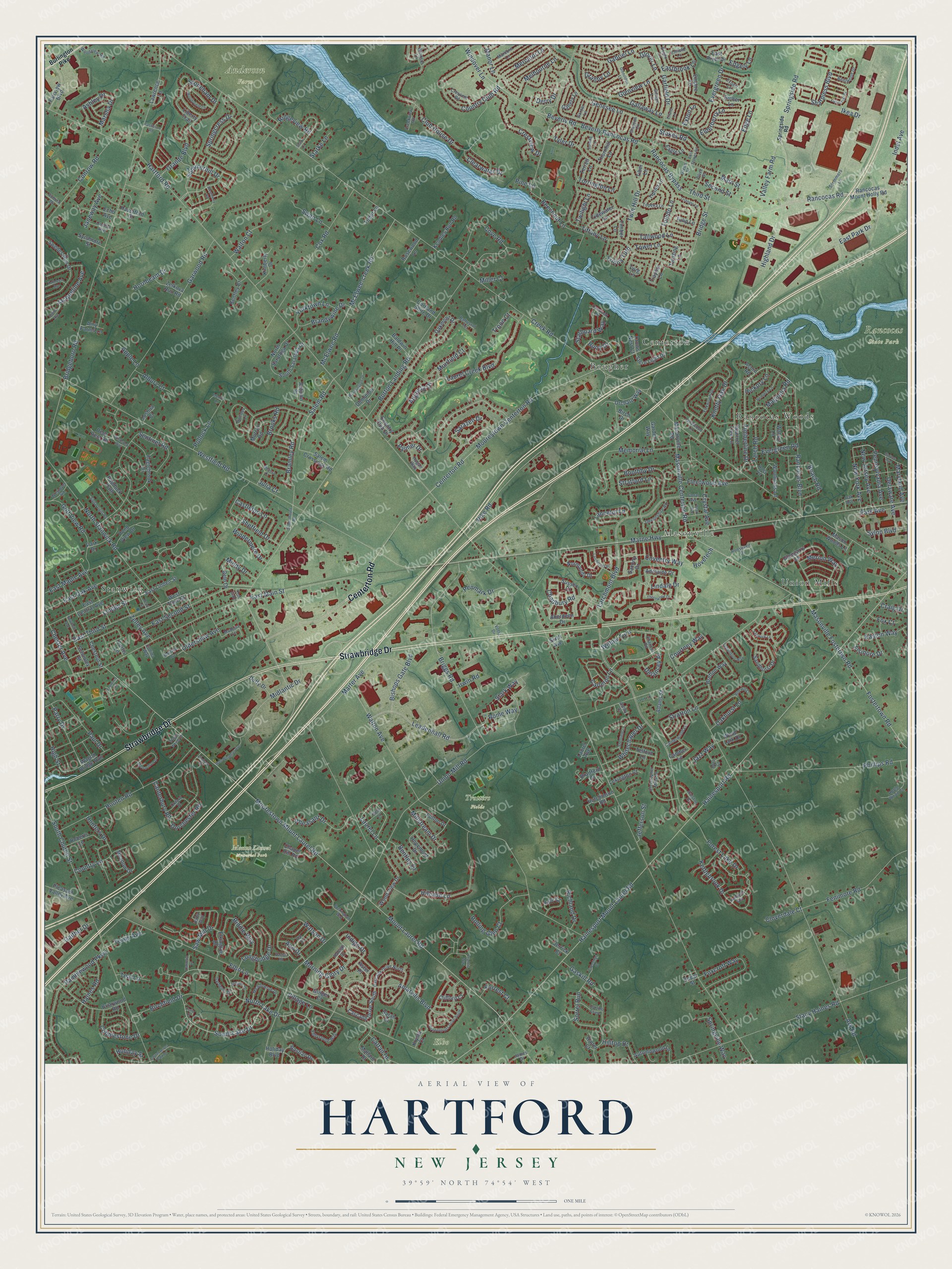
A new map of Hartford, New Jersey, made in 2026 and printed to order on thick archival matte paper.
12" x 18" Archival Matte Print
A Map of Home. A Work of Art.
Explore Hartford, New Jersey from a whole new perspective. Created using aerial imagery and detailed geographic data, this map captures Hartford building by building, with labeled streets, familiar landmarks, and shaded topographical relief that highlights the natural contours of the landscape.
Combining modern data with the timeless character of a vintage atlas, this map is just as interesting up close as it is beautiful on the wall. Whether you grew up in Hartford, spent memorable years there, or call it home today, this unique map is a great way to celebrate a place that means something to you. Zoom in on the preview to look for your street, and then order a print to put your memories on the wall.
Three ways to hang it
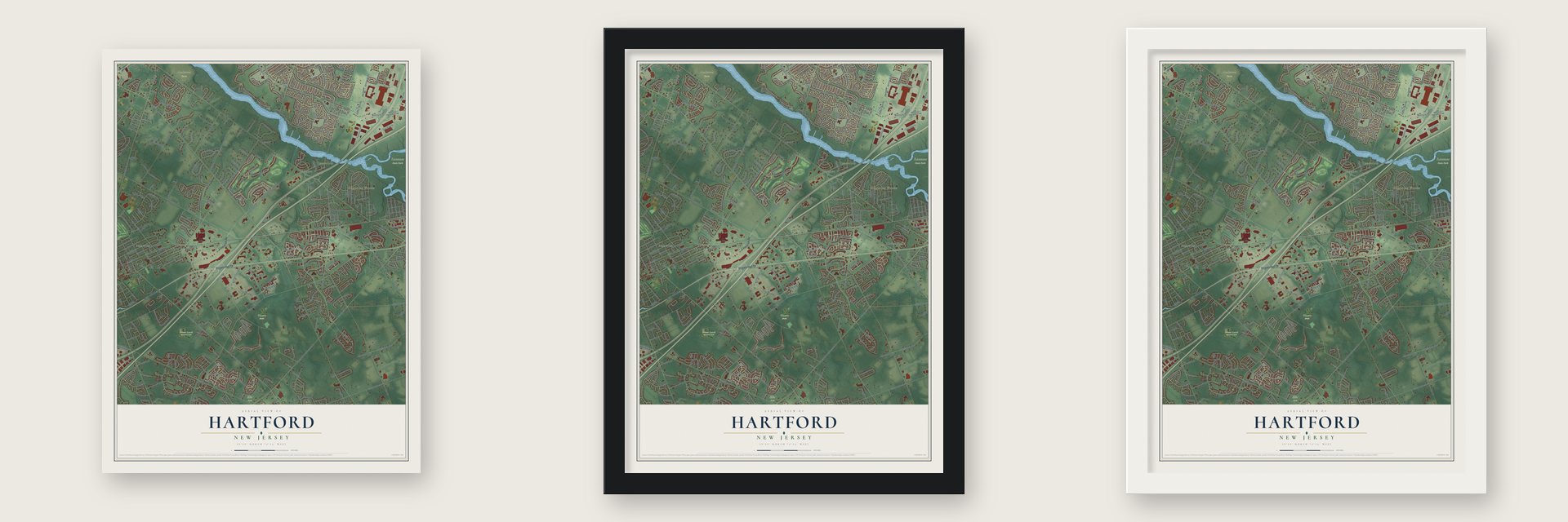
Unframed archival matte, a black wood frame or a white wood frame.
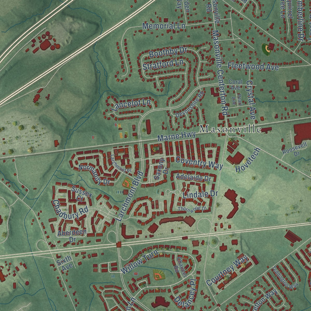
Up close
Geography Worth Displaying
This map was created using accurate cartographic data and authoritative geographic sources, including the U.S. Geological Survey and the Census Bureau. The map brings together terrain, waterways, roads, and building detail. The majority of the streets are labeled, houses are accurately depicted, and the topography is derived from government sources. Combining local data with carefully composed color and shading leads to this beautifully detailed Hartford artwork for your wall.
Rather than simply showing street outlines, we’ve included as many of the street names as we could reasonably fit on the map while keeping their names legible. Zoom in on the high resolution preview to see exactly what’s on the map. We truly set out to create a statement piece for anyone who loves Hartford. So whether it’s for you, or a gift for someone you love, we hope this map of Hartford brings back fond memories.
Read the story behind this map: Detailed Map of Hartford, New Jersey.

Find your street
Names on the Hartford map
Every name below is printed on this map. Look for your street, your school, the park where you played, or the pond down the road.
Places and landmarks11
- Anderson Farm
- Elbo Park
- Mount Laurel Memorial Park
- Rancocas State Park
- Trotters Fields
- Masonville
- Stanwick
- Centerton
- Union Mills
- Rancocas Woods
- Bougher
Streets and roads424
- Centerton Road
- Strawbridge Drive
- Rancocas Road
- Willow Turn
- Springside Road
- Timberline Drive
- South Lake Drive
- Sylon Boulevard
- Derry Drive
- Marter Avenue
- North Lake Drive
- Salem Road
- Stokes Road
- Rancocas Bypass
- Valley Farm Road
- Rome Way
- Hartford Road
- Creek Road
- Union Mill Road
- Larchmont Boulevard
- Mount Laurel Road
- Hainesport Mount Laurel Road
- Marne Highway
- Hainesport Road
- Moorestown Mount Laurel Road
- Ark Road
- Elbo Lane
- Bridgeboro Road
- Borton Landing Road
- Westfield Road
Show all 424 streets
- Walton Avenue
- Moorestown Centerton Road
- Fostertown Road
- Masonville Fostertwn Road
- Beverly Rancocas Road
- East Third Street
- South Church Street
- East Main Street
- Leadenhall Road
- Club House Drive
- North Stanwick Road
- Beverly Road
- Briggs Road
- Garwood Road
- Amaryllis Boulevard
- Sentinel Road
- Tiffany Lane
- Phillips Road
- Stacy Haines Road
- Masonville Centerton Road
- McElwee Road
- McElwee-creek Road
- Hooten Road
- Bridge Street
- Fenimore Road
- Midlantic Drive
- Knotty Oak Drive
- Laurel Creek Boulevard
- East Second Street
- Kettlebrook Drive
- East Oak Avenue
- Cox Road
- Hillside Lane
- Cove Road
- Evergreen Drive
- Ramblewood Parkway
- Bishops Gate Boulevard
- Rancocas Boulevard
- Brooks Road
- Main Street
- Penmark Drive
- Boothby Drive
- Canterbury Road
- Ikea Drive
- Country Club Road
- Genesee Lane
- Stoneham Drive
- Glenview Lane
- Memorial Lane
- Pike Road
- Sorrel Run
- Linden Street
- Garfield Drive
- Springcress Drive
- Conrow Road
- Twin Hill Drive
- Chadbury Road
- Edge Lane
- Summerhill Drive
- Watson Drive
- Foxcroft Way
- Sharpless Boulevard
- Sheffield Drive
- Toledo Lane
- Laurel Lane
- Golf View Road
- Birchfield Drive
- Tyler Drive
- Oakhurst Lane
- Longbridge Drive
- Courtney Way
- Rolling Glen Court
- Crestview Drive
- Starboard Way
- Morning Glory Drive
- Grande Boulevard
- Torrington Lane
- Delaware Avenue
- East Park Drive
- Pheasant Drive
- Gabriel Lane
- Indel Avenue
- Bentley Drive
- Stratford Lane
- Forest Lake Drive
- Zelley Avenue
- Sarazen Drive
- Texas Avenue
- Bramley Road
- Ashley Drive
- Fleetwood Avenue
- Beechnut Lane
- Saw Mill Drive
- Paul Drive
- Tallwood Lane
- Carleton Lane
- Parry Drive
- East Maple Avenue
- Biddle Way
- Whitechapel Drive
- Pollock Lane
- Highland Drive
- Lancelot Lane
- Oldershaw Avenue
- Chester Avenue
- Larch Road
- Merion Way
- Manor Lane
- Park Avenue
- Yorktown Lane
- Castleton Lane
- Hickory Lane
- Gaither Drive
- New Jersey Avenue
- Stratton Lane
- High Street
- New York Avenue
- Coventry Way
- Melbourne Lane
- Jacqueline Avenue
- Brandywine Drive
- Country Lane
- Walton Court
- Cobblestone Drive
- Stark Way
- Springville Way
- Windover Lane
- Pennsylvania Avenue
- Easton Way
- Indigo Drive
- Lindale Drive
- Dorchester Road
- Delancey Place
- Mercator Lane
- Elderberry Lane
- Eastbrook Lane
- Millstream Drive
- Windermere Drive
- Palmer Drive
- Village Lane
- Gallaway Lane
- Trinity Turn
- Janeway Avenue
- Second Street
- Swan Lane
- Hilltop Drive
- Clearwater Drive
- Haines Road
- Ridgeview Road
- Exton Lane
- Crystal Avenue
- Maryland Avenue
- Marsha Drive
- Jazz Way
- Hunters Drive
- Edgely Lane
- Albury Court
- Cattail Drive
- Evergreen Road
- Elsinore Drive
- Granby Lane
- Gaskill Road
- Richland Drive
- Muirfield Court
- Glover Lane
- Jefferson Street
- Cloverdale Court
- Hornbeam Drive
- Forrest Court
- Hovetech
- Mindy Drive
- Magnolia Road
- Augusta Drive
- Troon Court
- Pine Lane
- Ann Drive
- Teal Lane
- Twilight Lane
- Tower Lane
- Holiday Street
- Starke Lane
- Apple Lane
- Fox Court
- Craig Drive
- Beach Road
- Miller Court
- Irwin Road
- Third Street
- Julia Court
- Buoy Drive
- Aberdeen Drive
- Cascade Drive South
- Rancocas Mount Holly Road
- Fairview Boulevard
- East Central Avenue
- Country Club Drive
- Orchard Way
- Masonville Road
- Saxony Drive
- Chestnut Street
- East Linden Street
- Oakmont Drive
- Normandy Drive
- Meadow Drive
- Sandhurst Drive
- Swedes Run Drive
- Hopemont Drive
- Ember Lane
- Briarwood Road
- Eaglebrook Drive
- Wood View Drive
- Pleasant Valley Avenue
- Wood Lark Drive
- Pond View Drive
- Thornhill Lane
- Bretton Way
- Tidewater Lane
- Wagon Bridge Run
- North Saratoga Drive
- Autumnwood Lane
- Squirrel Tree Lane
- Adelaide Drive
- Glengarry Lane
- Woolmans Lane
- Chapel Hill Road
- Kyle Court
- Mallard Drive
- Twig Lane
- South Saratoga Drive
- Kimberly Drive
- Roberts Lane
- Bradford Court
- Twisting Lane
- West Third Street
- Bentley Court
- Mason Woods Lane
- Bastian Drive
- Kendles Run Road
- Salem Crossings Road
- Camber Lane
- Stern Light Drive
- Fulton Drive
- Autumn Drive
- Liberty Trail
- Dominion Drive
- Lexington Court
- Holiday Boulevard
- Tipton Lane
- Zelkova Run Road
- East River Drive
- Sarah Court
- Cortland Shire Drive
- Baldwin Hill Place
- Beth Drive
- Clifford Court
- Murray Road
- Empire Lane
- Haverford Court
- Duffy Drive
- Walnut Lane
- Schooley Street
- Paddock Path
- Ginger Court
- Rosewood Lane
- Hutchinson Road
- Garden Way
- Telford Lane
- Sycamore Street
- Deer Rest Road
- Tulip Lane
- Eagle Lane
- Echo Avenue
- Adams Street
- Elkington Drive
- Gallery Lane
- Lawrence Lane
- Amy Farms Lane
- Traynor Lane
- Terrell Lane
- Timber Lane
- Park Drive
- Jerrick Court
- Tudor Lane
- Laurel Avenue
- Tiber Lane
- Joshua Court
- Sussex Court
- Crows Nest Court
- Curtis Lane
- Krysta Court
- Acorn Road
- Aster Place
- Cedar Street
- Halter Court
- Birch Drive
- Sixth Avenue
- Burlington Pike
- Cascade Drive North
- Christopher Mills Drive
- Bentwood Drive
- Ralston Drive
- Meadowrue Drive
- Hogan Way
- Eddystone Way
- Apple Wood Court
- Stemmers Lane
- Foxwood Drive
- Calderwood Lane
- Essex Lane
- Enfield Lane
- Devonshire Road
- Grayson Circle
- Windsor Lane
- Marboro Lane
- Madeira Court
- Crescent Road
- Topeka Lane
- Woodview Road
- Gardenia Drive
- Gilman Lane
- Oxford Place
- Holly Lane
- Creekview Road
- Olive Street
- Oneida Avenue
- Roosevelt Drive
- Val Drive
- Baltusrol Terrace
- Tallowood Lane
- Westover Road
- Chaucer Road
- Overlook Drive
- Coral Avenue
- Oak Avenue
- Expert Lane
- Garner Lane
- Swedes Lane
- Kirby Way
- Raleigh Drive
- Auburn Drive
- Ashby Court
- James Drive
- Holly Road
- Collina Way
- Toll Gate
- Green Street
- Votta Drive
- Bolz Court
- Fenwick Lane
- Michaelson Drive
- Larchmont Place
- Buckingham Way
- Triangle Lane
- Peppergrass Drive South
- East Stokes Road
- Castleton Road
- Spruce Avenue
- Fieldcrest Drive
- Sheffield Lane
- Teddington Way
- Trebing Lane
- Thornwood Drive
- Windsock Way
- Hemlock Lane
- Woodyfield Lane
- Walt Whitman Avenue
- Laurel Acres Park Drive
- Glenolden Lane
- Worthington Drive
- Signal Light Road
- Juniper Drive
- Yearling Chase
- Laurence Drive
- Pearl Street
- Stark Lane
- Crossings Court
- Diane Avenue
- Weatherly Road
- Schoolhouse Road
- Wagon Wheel Drive
- Newbold Avenue
- Kathleen Avenue
- Vassar Road
- Efland Lane
- Francis Way
- Red Hill Court
- Mayland Avenue
- Hollowell Way
- Pearl Avenue
- Melissa Court
- Chelsea Place
- Camelia Lane
- Moore Lane
- Tulip Court
Names are listed as they appear on the printed map. Zoom into the product photos to find them.
The art of mapping a place
How This Map Was Made
Real places. Remarkable detail. Discover the layers that turn geographic data into a map of home.

The view from above
Aerial imagery reveals the character of the land: woodland, open fields, and the patterns of a place.

The shape of the land
Elevation data brings hills, valleys, and subtle changes in the landscape into view.

The details of home
Roads, waterways, and building footprints come together to make the map feel unmistakably local.

Geography becomes art
Considered color, shading, and typography bring the layers together in a map made for your wall.


Process illustrated with Mendon, Massachusetts. Aerial imagery: USDA NAIP. Terrain: USGS 3D Elevation Program. Map details and finished artwork: KNOWOL.
The Details
About This Print
Choose an archival matte print, or a black or white Ayous wood frame. The archival matte print is unframed.
Select your size and finish above to see the matching product image and price.
Materials & Craftsmanship
A contemporary map with the character of a classic atlas, printed on archival matte paper. Optional frames are made from Ayous wood.
Your printed map does not include the watermark shown in the full-map preview.
Shipping & Delivery
Free shipping within the United States. Every print is made to order in the USA.
Buying a gift? Add a note in your cart and we'll include it. We never put prices in the package.
Prints ship within 2 to 3 business days. Allow 7 to 10 days total from ordering for delivery. Timing may vary during holidays or periods of high order volume.
Read our shipping policy.
Returns and damaged prints
Each print is made to order. Change-of-mind refunds are not available after production.
If your print arrives damaged, misprinted or incorrect, contact support@knowol.com within 30 days of receiving it. Include your order number, photos and a description of the issue.
Read our full refund and replacement policy. For questions about your order, email support@knowol.com.
Find your town
Looking for another city?
Find a map of home in our New Jersey collection, or any town in the country.
Nearby
Maps of towns near Hartford
Know someone from one of these towns? Their map makes a great gift.
 Springville
, New Jersey
From $39.99See the map
 Mount Laurel
, New Jersey
From $39.99See the map
 Moorestown
, New Jersey
From $39.99See the map
More maps nearby: Rancocas, Hainesport, Willingboro, Moorestown-Lenola and Delran.