
Search for another town




Free U.S. delivery 7 to 10 days after you order
South Portland, Maine Map Art
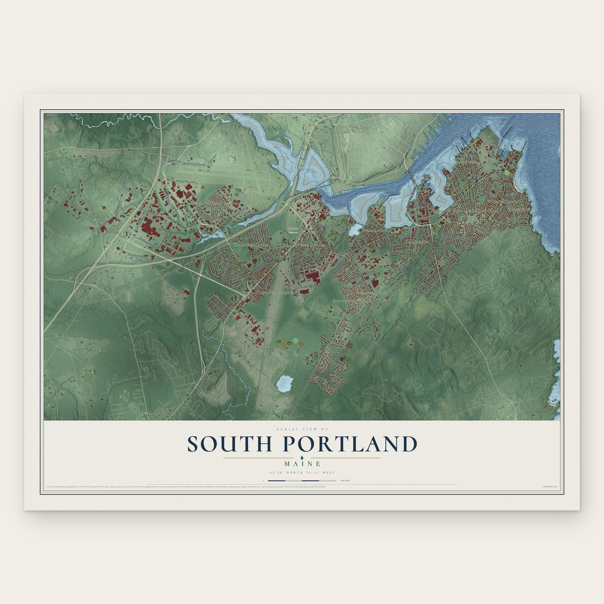
Building by building, with labeled streets and shaded relief.
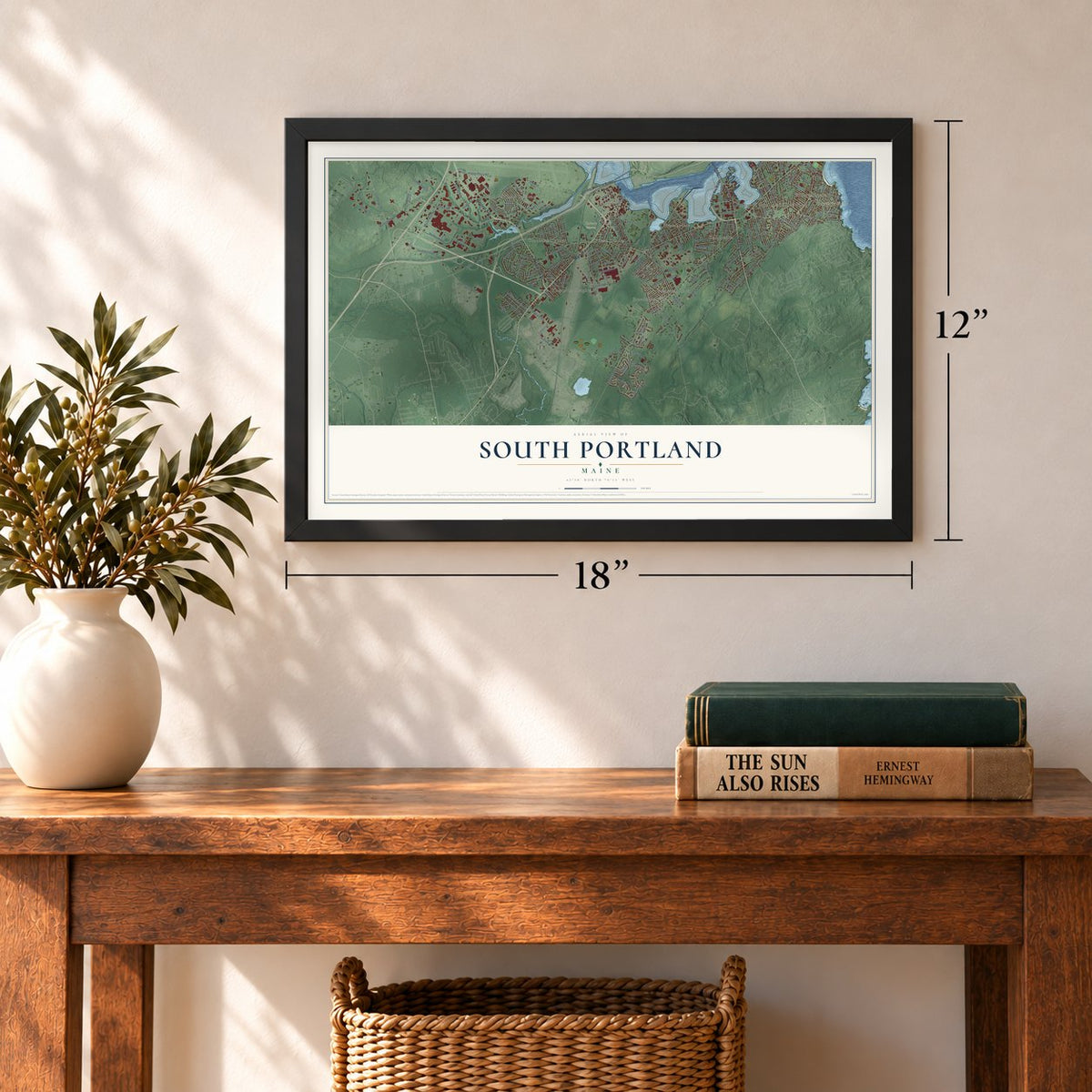
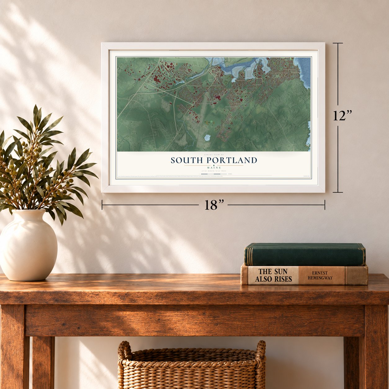
12" x 18" Archival Matte Print
A Map of Home. A Work of Art.
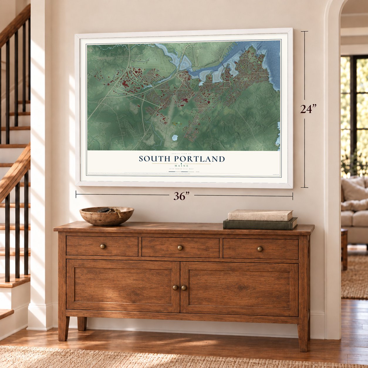
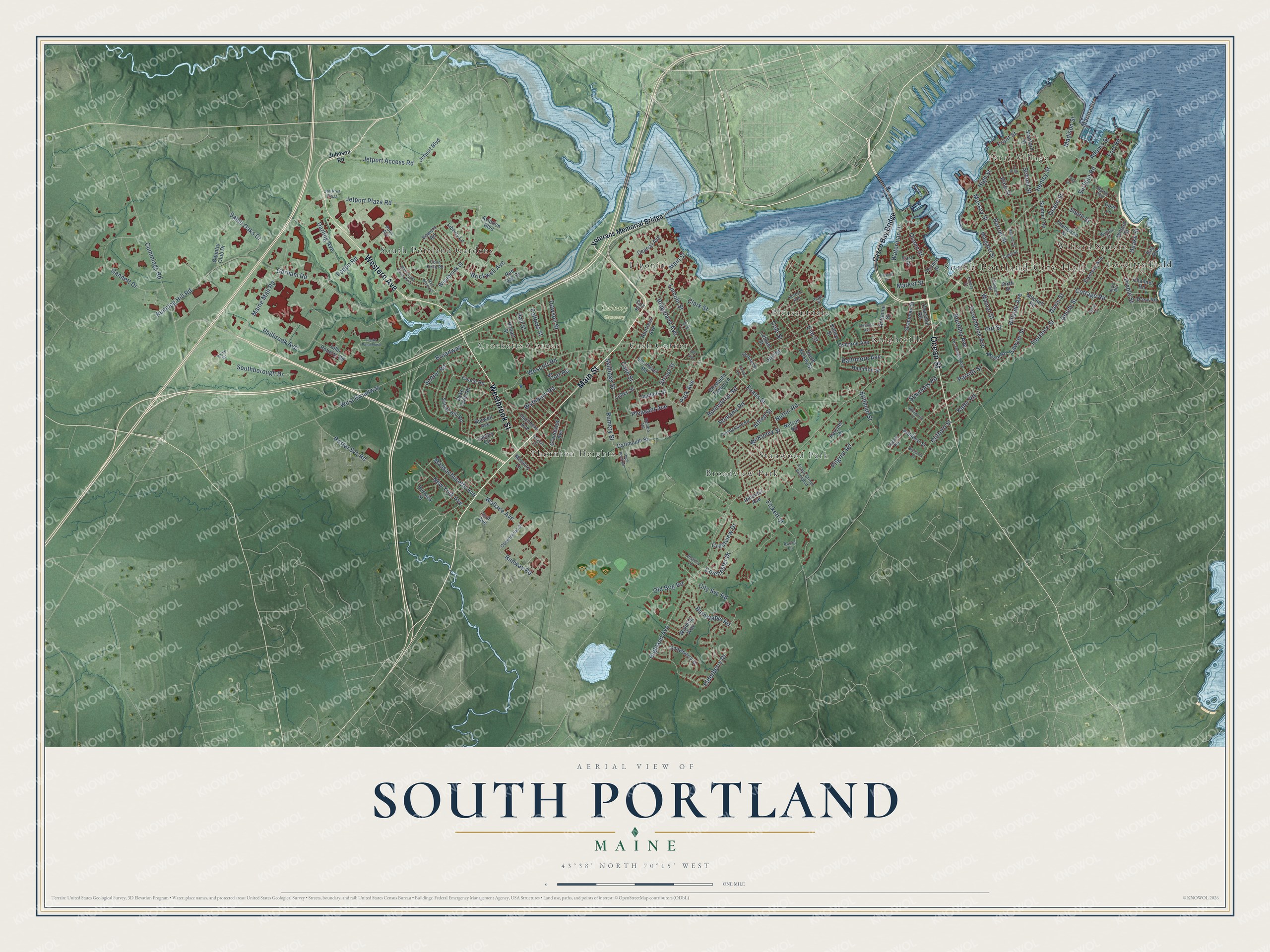
Explore South Portland, Maine from a whole new perspective. Created using aerial imagery and detailed geographic data, this map captures South Portland building by building, with labeled streets, familiar landmarks, and shaded topographical relief that highlights the natural contours of the landscape.
Combining modern data with the timeless character of a vintage atlas, this map is just as interesting up close as it is beautiful on the wall. Whether you grew up in South Portland, spent memorable years there, or call it home today, this unique map is a great way to celebrate a place that means something to you. Zoom in on the preview to look for your street, and then order a print to put your memories on the wall.
Three ways to hang it
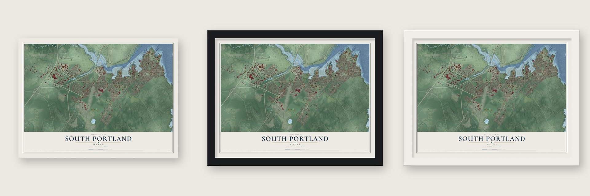
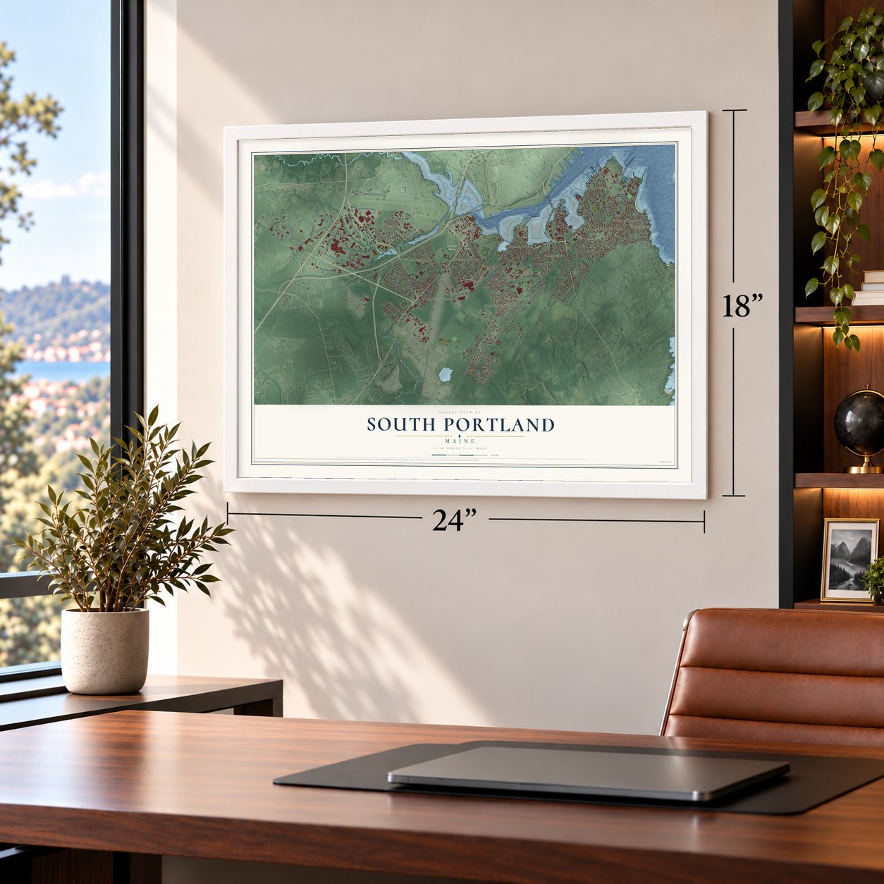
Unframed archival matte, a black wood frame or a white wood frame.
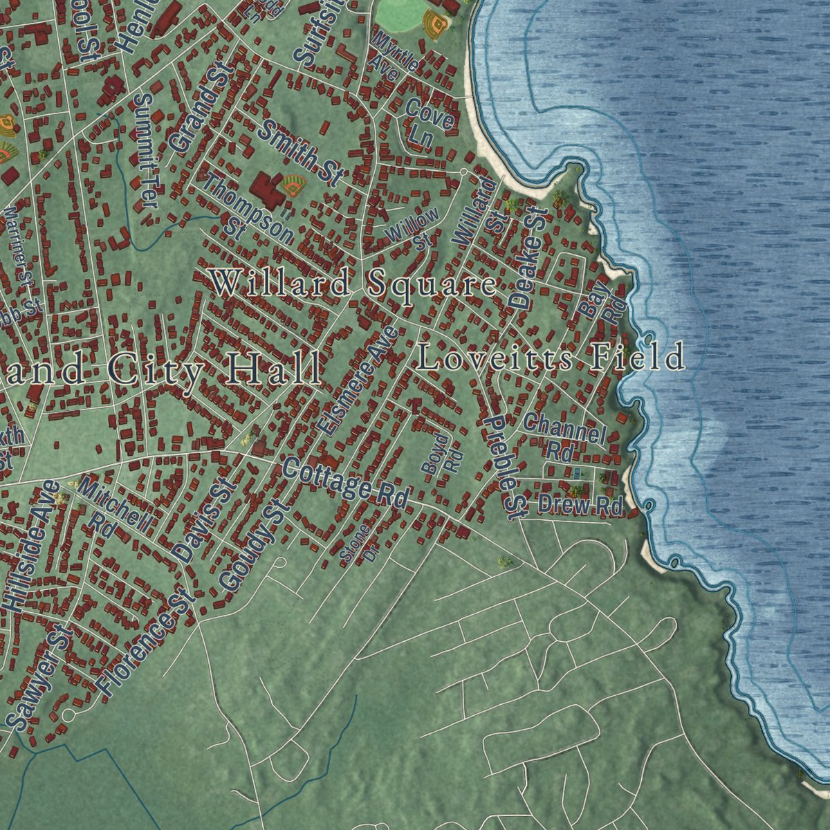
Up close
Geography Worth Displaying
This map was created using accurate cartographic data and authoritative geographic sources, including the U.S. Geological Survey (USGS) and FEMA. The map brings together terrain, waterways, roads, and building detail. The majority of the streets are labeled, houses are accurately depicted, and the topography is derived from government sources. Combining local data with carefully composed color and shading leads to this beautifully detailed South Portland artwork for your wall.
Rather than simply showing street outlines, we’ve included as many of the street names as we could reasonably fit on the map while keeping their names legible. Zoom in on the high resolution preview to see exactly what’s on the map. We truly set out to create a statement piece for anyone who loves South Portland. So whether it’s for you, or a gift for someone you love, we hope this map of South Portland brings back fond memories.
Explore the full map of South Portland, Maine and read about the local places it shows.

Find your street
Names on the South Portland map
Every name below is printed on this map. Look for your street, your school, the park where you played, or the pond down the road.
Places and landmarks14
- South Portland City Hall
- Calvary Cemetery
- Crocketts Corner
- Pleasantdale
- Broadview Park
- Willard Square
- South Portland Gardens
- Thornton Heights
- Ferry Village
- Knightville
- Stanwood Park
- Ligonia
Show all 14 places
- Cash Corner
- Loveitts Field
Streets and roads187
- Western Avenue
- Ocean Street
- Main Street
- Westbrook Street
- Cottage Road
- Broadway
- Waterman Drive
- Preble Street
- McKinley Street
- Henley Street
- Maine Mall Road
- Highland Avenue
- Sawyer Street
- Gorham Road
- Jetport Plaza Road
- Philbrook Avenue
- Pine Street
- Cummings Road
- Running Hill Road
- Lincoln Street
- Gannett Drive
- Alfred Street
- Elderberry Drive
- Mussey Street
- Evans Street
- Fickett Street
- Pleasant Avenue
- West Broadway
- High Street
- Elm Street
Show all 187 streets
- Barnstable Road
- Rumery Street
- Walnut Street
- Fort Road
- Fellows Street
- Foden Road
- Stillman Street
- Ridgeland Avenue
- Sable Oaks Drive
- Darling Avenue
- Nutter Road
- Wescott Road
- Harriet Street
- Jetport Access Road
- Postal Svc Road
- Boothby Avenue
- New York Avenue
- Wythburn Road
- Skillings Street
- Pilgrim Road
- Settler Road
- Southborough Drive
- Hill Street
- Dawson Street
- Cash Street
- Clark Street
- Providence Avenue
- Parrott Street
- Madison Street
- Front Street
- Hillside Avenue
- School Street
- Massachusetts Avenue
- Strout Street
- Brickwell Avenue
- Wallace Avenue
- Bonnybriar Road
- Old Bog Road
- Crestview Drive
- Clifford Street
- Runway Road
- Colchester Drive
- Romano Road
- Marina Drive
- Davis Street
- Deake Street
- Florence Street
- Simmons Road
- City Svc Road
- Kaler Road
- Baltimore Avenue
- Hall Street
- Smith Street
- Grand Street
- Cole Street
- Adams Street
- Goudy Street
- Park Avenue
- Scott Road
- Pitt Street
- Surfsite Road
- Market Street
- Casco Bay Bridge
- Veterans Memorial Bridge
- Churchill Road
- Sandy Hill Road
- Thadeus Street
- Anthoine Street
- Stanford Street
- Scamman Street
- Margaret Street
- Winding Way
- Coach Road
- Country Club Drive
- East Street
- Mitchell Road
- Snowberry Drive
- Landry Circle
- Thompson Street
- Bud Avenue
- Osborne Avenue
- Grandview Avenue
- Elsmere Avenue
- Thirlmere Avenue
- Willard Street
- John Roberts Road
- Powers Road
- Liberty Lane
- Hamilton Street
- Berwick Street
- Red Oak Drive
- Karynel Drive
- Burwell Avenue
- Dyke Farm Road
- Southeast Road
- Dartmouth Street
- South Kelsey Street
- Huntress Avenue
- Central Avenue
- Adelbert Street
- Cove Lane
- Elizabeth Taylor Lane
- Summit Terrace
- Jetport Boulevard
- Aviation Boulevard
- Marsh Road
- Hobart Street
- Memory Lane
- Drew Road
- Hillcrest Avenue
- Thomas Street
- Lubec Street
- Nelson Road
- Channel Road
- Kelley Street
- Latham Street
- Bay Road
- Sixth Street
- Cox Street
- Johnson Road
- Cumberland Road
- Pearl Street
- Fessenden Avenue
- Clemons Street
- Colin Kelly Road
- Evans Street Extended
- Willow Street
- Commercial Street
- Jessica Lane
- Myrtle Avenue
- Hemco Road
- Cobb Street
- Lombard Street
- Sylvan Road
- Jet Port Plaza
- Forest Avenue
- Emery Street
- Acorn Lane
- Pope Avenue
- Boyd Road
- Mac Arthur Street
- Clarks Pond Parkway
- Payne Road
- Wainwright Circle West
- Lawn Avenue
- McLean Street
- Marriner Street
- Elmwood Avenue
- Duck Pond Road
- Stone Drive
- Whitworth Drive
- Todd Lane
- Richards Street
- Erskine Drive
- Free Street
- Lemont Avenue
- Lee Avenue
Names are listed as they appear on the printed map. Zoom into the product photos to find them.
About South Portland, Maine
South Portland is a city of 26,498 people in Cumberland County, facing the Portland skyline across Portland Harbor. Despite its name, it never belonged to Portland. Settlers first arrived in 1630, and the area grew into a small farming community that was part of Cape Elizabeth, which had split from Falmouth in 1765.
Cape Elizabeth's neighborhoods couldn't agree on where future drinking water should come from, so on March 15, 1895, South Portland broke away and became a town of its own. It became a city in 1898 and took its water from Sebago Lake, as Portland did, while Cape Elizabeth kept to wells and other local supplies.
“The state of Maine needs South Portland more than South Portland needs the state of Maine,”
- Fort Preble since 1808Fort Preble went up on the waterfront in 1808 to guard Portland Harbor, and it stayed in service through the Civil War and both world wars. In 1897 the federal government added Spring Point Ledge Light close by, so ships could steer clear of a dangerous ledge of rock.
- 236 Liberty shipsTodd-Bath Iron Shipbuilding Corp opened the East Yard in 1940, building cargo ships for Britain. When America entered the war, a West Yard followed, and they merged as the New England Shipbuilding Corporation. Crews launched 236 Liberty ships, each 440 feet long, over 10 percent of the wartime total. Some 30,000 worked there at the peak, thousands of them women. After 1945 the yards wound down.
- The crash of July 11, 1944At 4:45 that afternoon, Army Lt. Phillip "Phee" Russell was bringing his A-26 Invader in to the Portland-Westbrook Municipal Airport when he lost control for reasons never fully explained. The plane hit a trailer park in Brick Hill, killing nineteen people and injuring 20, most of them shipyard families. It remains Maine's worst air disaster, and a memorial to the victims went up 66 years later.
- Maine's first strip mallMill Creek, built in the 1950s, was the first shopping center in Maine to line up its shops beneath a single roof with a sheltered walkway in front. In the 1960s Portland's downtown ran out of room for new stores, so builders chose a former pig farm near I-95 for the Maine Mall. Its construction turned the city's rural west side into the state's largest retail center.
- Ellen G. White's first visionIn December 1844, Ellen G. White, who later helped start the Seventh-day Adventist church, reportedly had her first vision at a prayer meeting in Mrs. Haines's home at 60 Ocean Street. The house later became the Griffin Club and was torn down in 2018.
Keep exploring Maine
South Portland is one of 527 Maine towns we've mapped. Every dot on the map is a print of its own.
The search covers every state, Maine first.
Near South Portland
Order 2 or more town maps and save 10%. Shown in the size and finish you picked above, so they hang as a set.
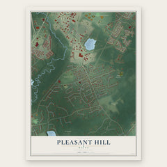
- Pleasant Hill 12" x 18" / Archival Matte Print $39.99
- Eight Corners 12" x 18" / Archival Matte Print $39.99
- Oak Hill 12" x 18" / Archival Matte Print $39.99


More maps nearby: Pond Cove, Scarborough, Portland, Cape Elizabeth and Westbrook.
The art of mapping a place
How This Map Was Made
Real places. Remarkable detail. Discover the layers that turn geographic data into a map of home.

The view from above
Aerial imagery reveals the character of the land: woodland, open fields, and the patterns of a place.

The shape of the land
Elevation data brings hills, valleys, and subtle changes in the landscape into view.

The details of home
Roads, waterways, and building footprints come together to make the map feel unmistakably local.

Geography becomes art
Considered color, shading, and typography bring the layers together in a map made for your wall.


Process illustrated with Mendon, Massachusetts. Aerial imagery: USDA NAIP. Terrain: USGS 3D Elevation Program. Map details and finished artwork: KNOWOL.
The Details
About This Print
Choose an archival matte print, or a black or white Ayous wood frame. The archival matte print is unframed.
Select your size and finish above to see the matching product image and price.
Materials & Craftsmanship
A contemporary map with the character of a classic atlas, printed on archival matte paper. Optional frames are made from Ayous wood.
Your printed map does not include the watermark shown in the full-map preview.
Shipping & Delivery
Free shipping within the United States. Every print is made to order in the USA.
Buying a gift? Add a note in your cart and we'll include it. We never put prices in the package.
Prints ship within 2 to 3 business days. Allow 7 to 10 days total from ordering for delivery. Timing may vary during holidays or periods of high order volume.
Read our shipping policy.
Returns and damaged prints
Each print is made to order. Change-of-mind refunds are not available after production.
If your print arrives damaged, misprinted or incorrect, contact support@knowol.com within 30 days of receiving it. Include your order number, photos and a description of the issue.
Read our full refund and replacement policy. For questions about your order, email support@knowol.com.