
Search for another town
Free U.S. delivery 7 to 10 days after you order
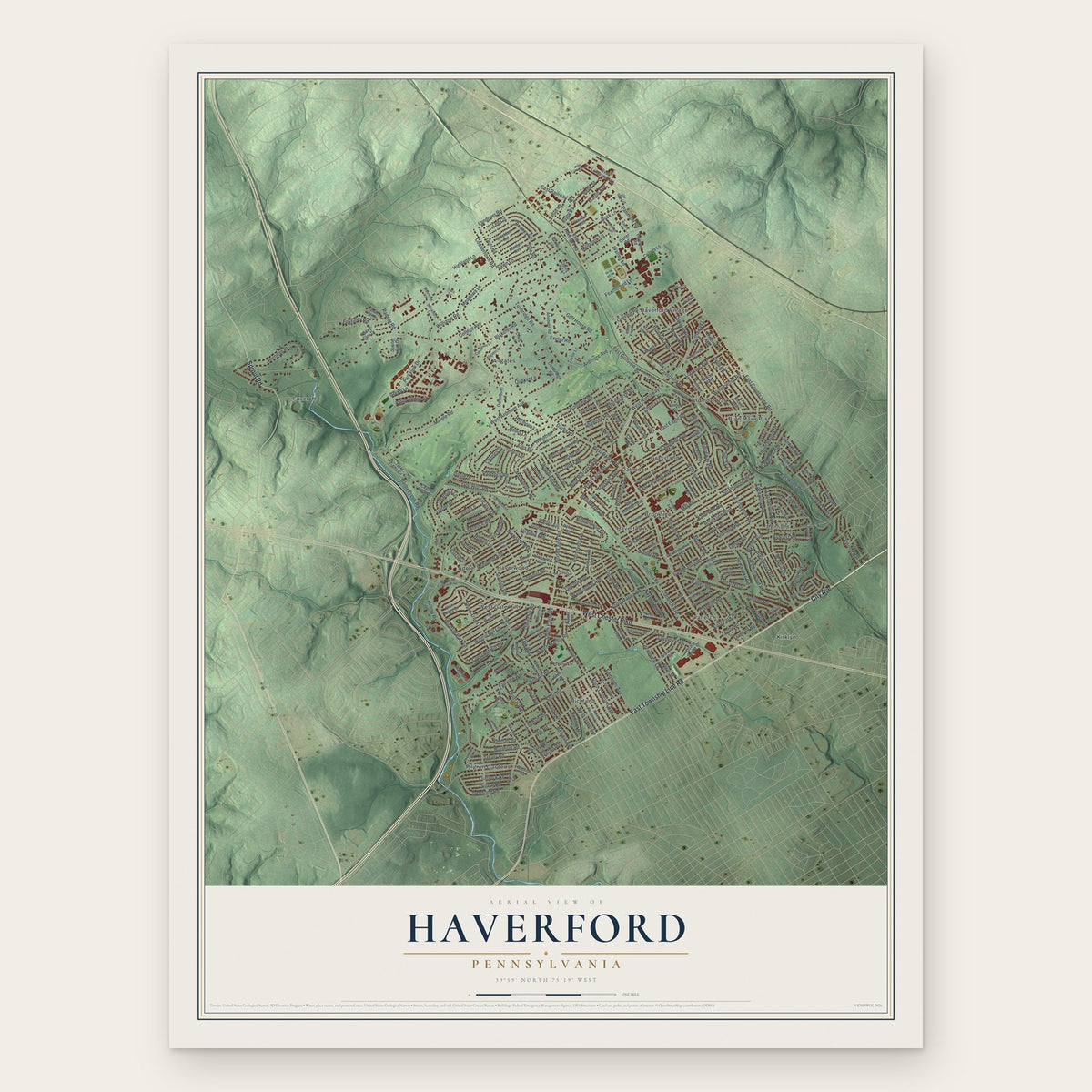
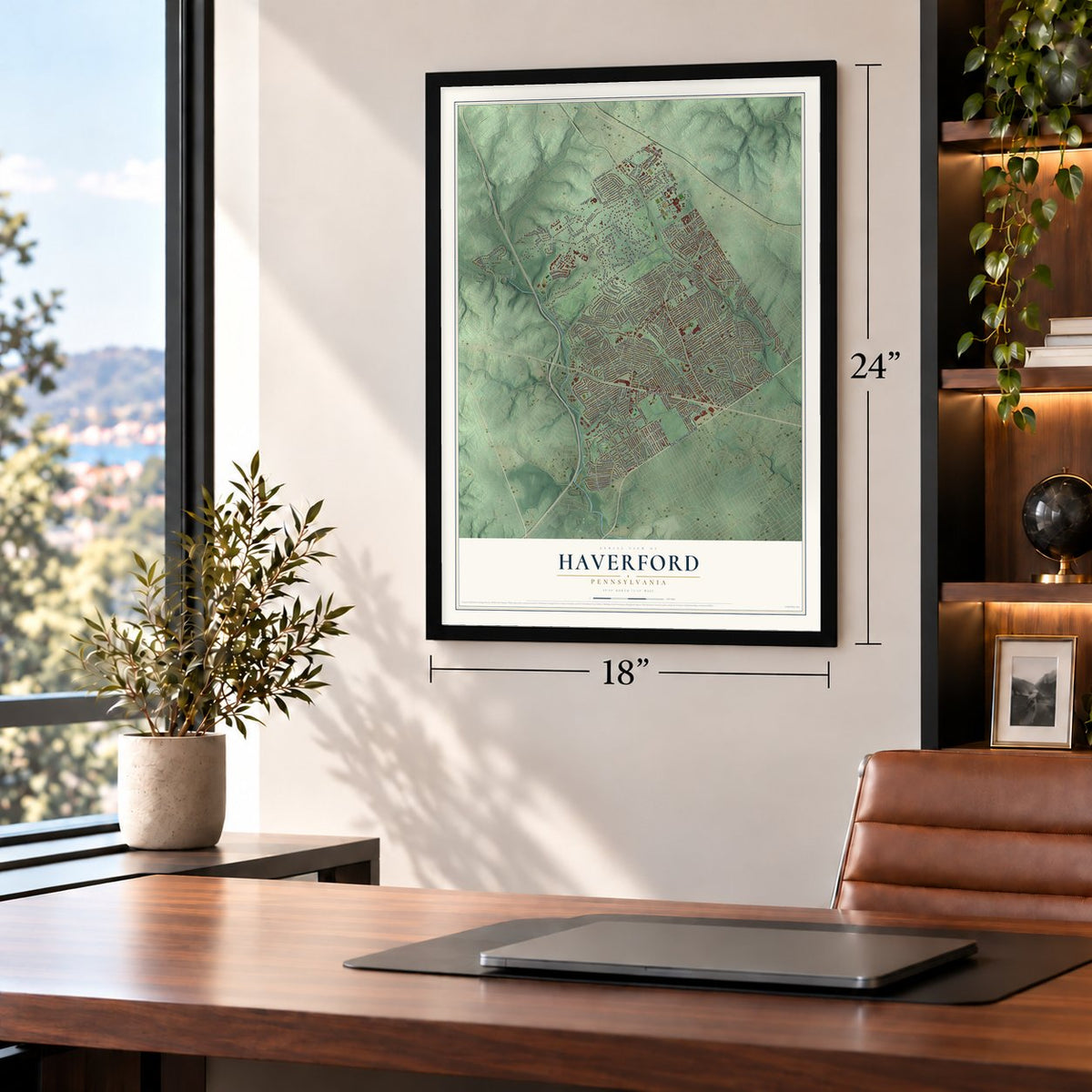
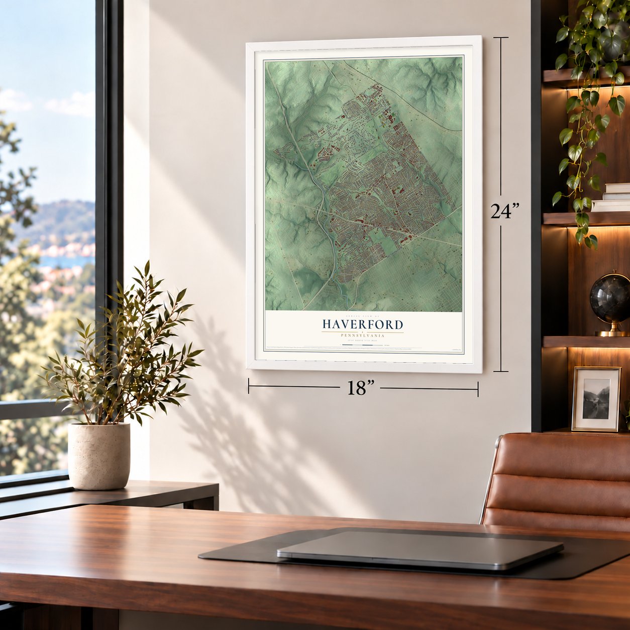
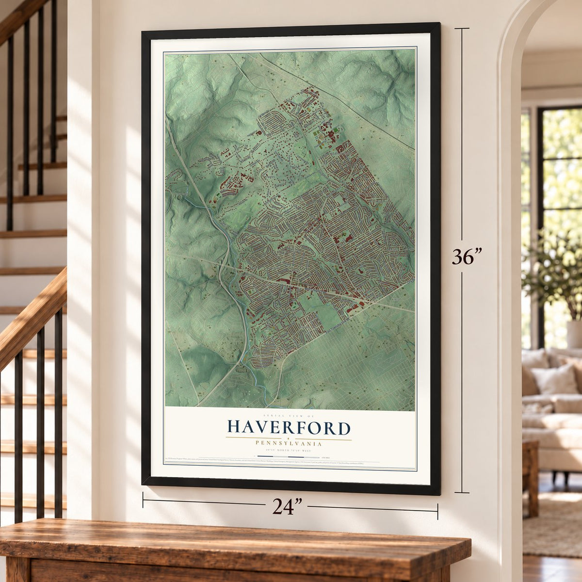
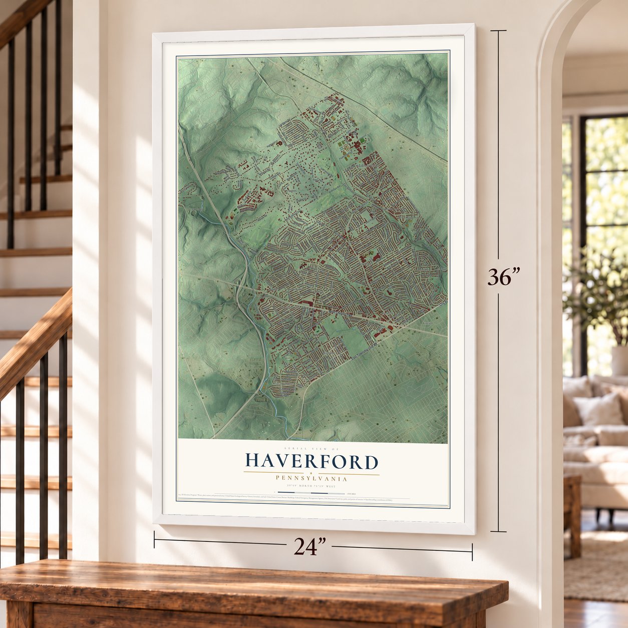
Haverford, Pennsylvania Map Art
Building by building, with labeled streets and shaded relief.
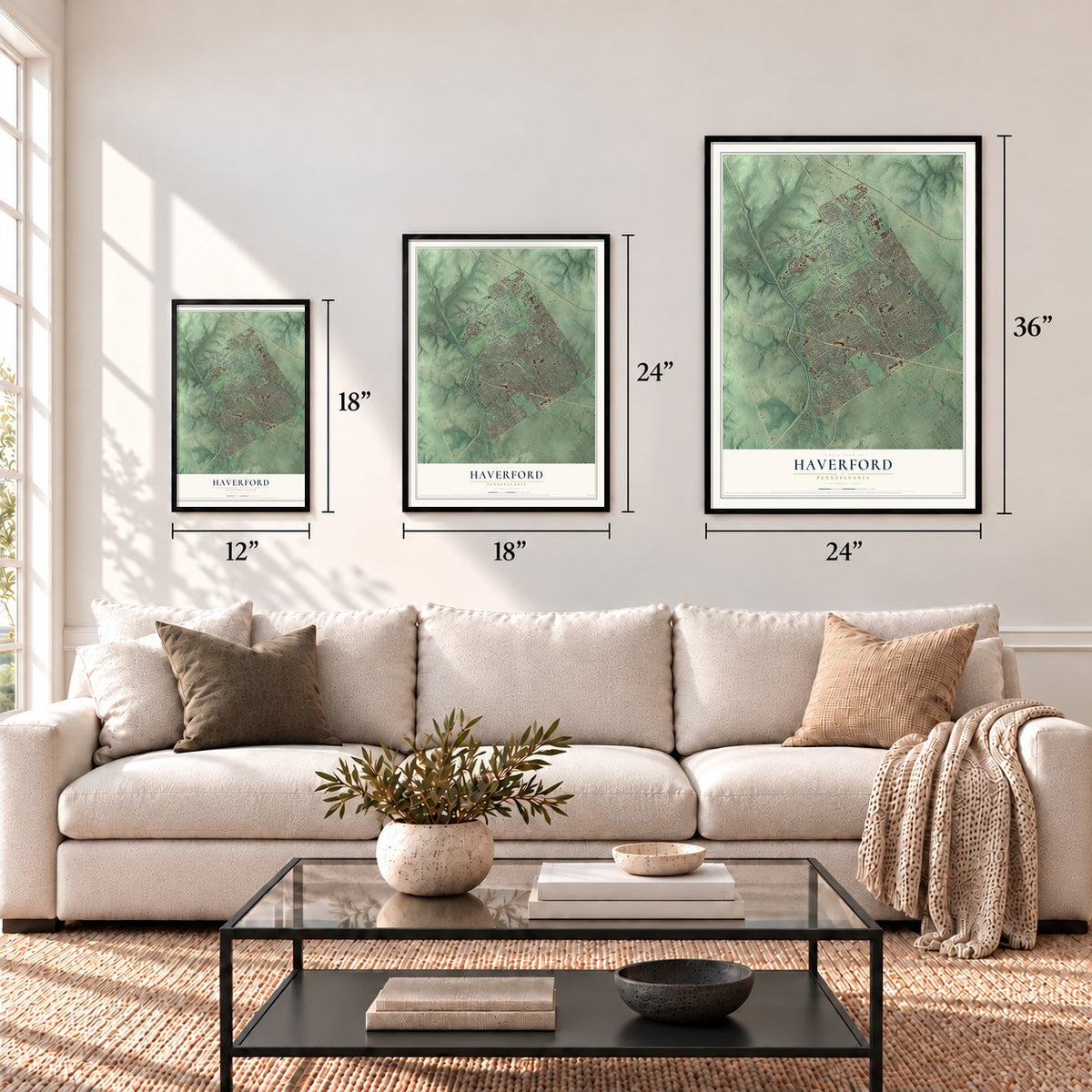
12" x 18" Archival Matte Print
A Map of Home. A Work of Art.
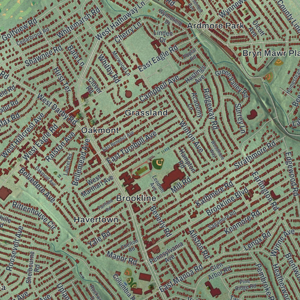
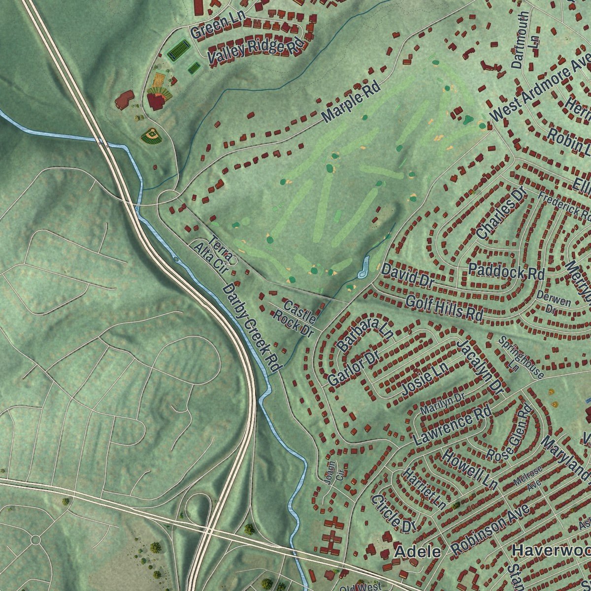
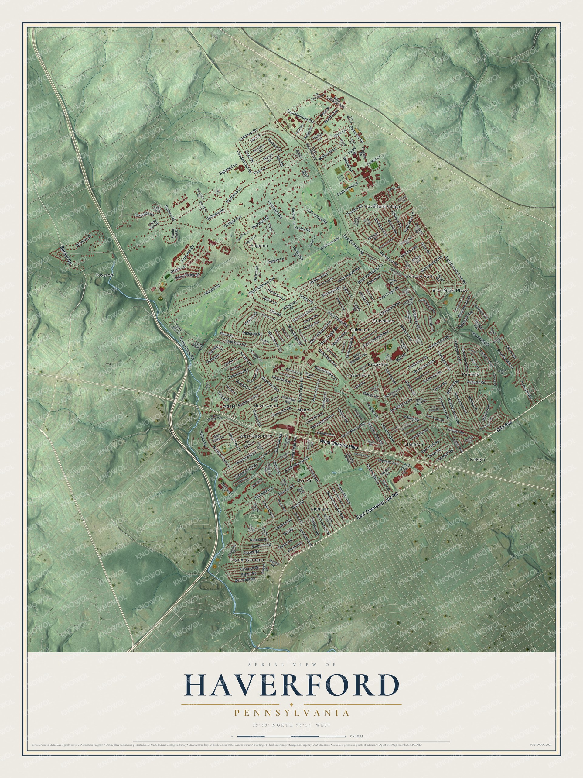
Explore Haverford, Pennsylvania from a whole new perspective. Created using aerial imagery and detailed geographic data, this map captures Haverford building by building, with labeled streets, familiar landmarks, and shaded topographical relief that highlights the natural contours of the landscape.
Combining modern data with the timeless character of a vintage atlas, this map is just as interesting up close as it is beautiful on the wall. Whether you grew up in Haverford, spent memorable years there, or call it home today, this unique map is a great way to celebrate a place that means something to you. Zoom in on the preview to look for your street, and then order a print to put your memories on the wall.
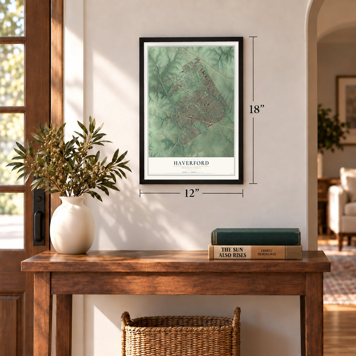
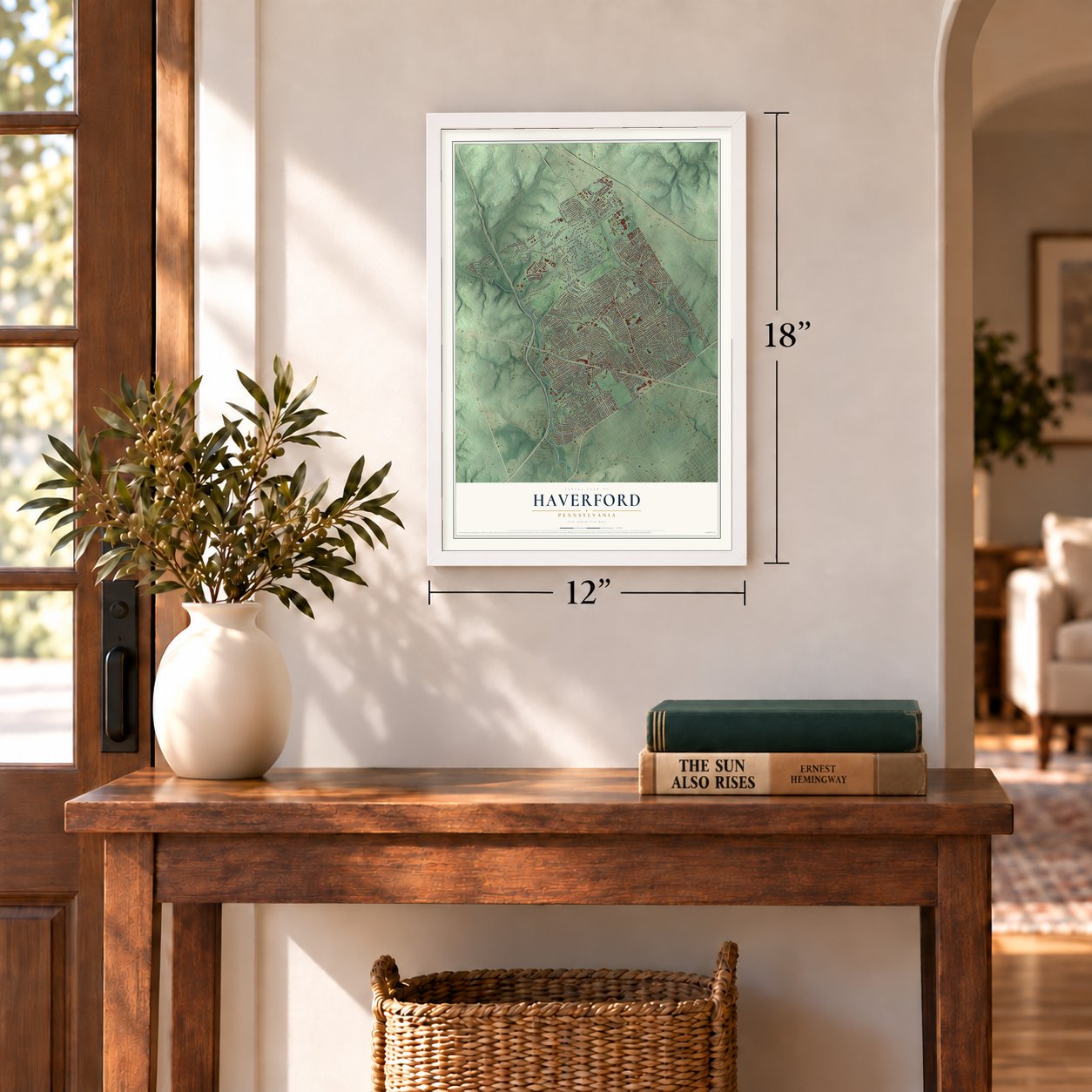
Three ways to hang it
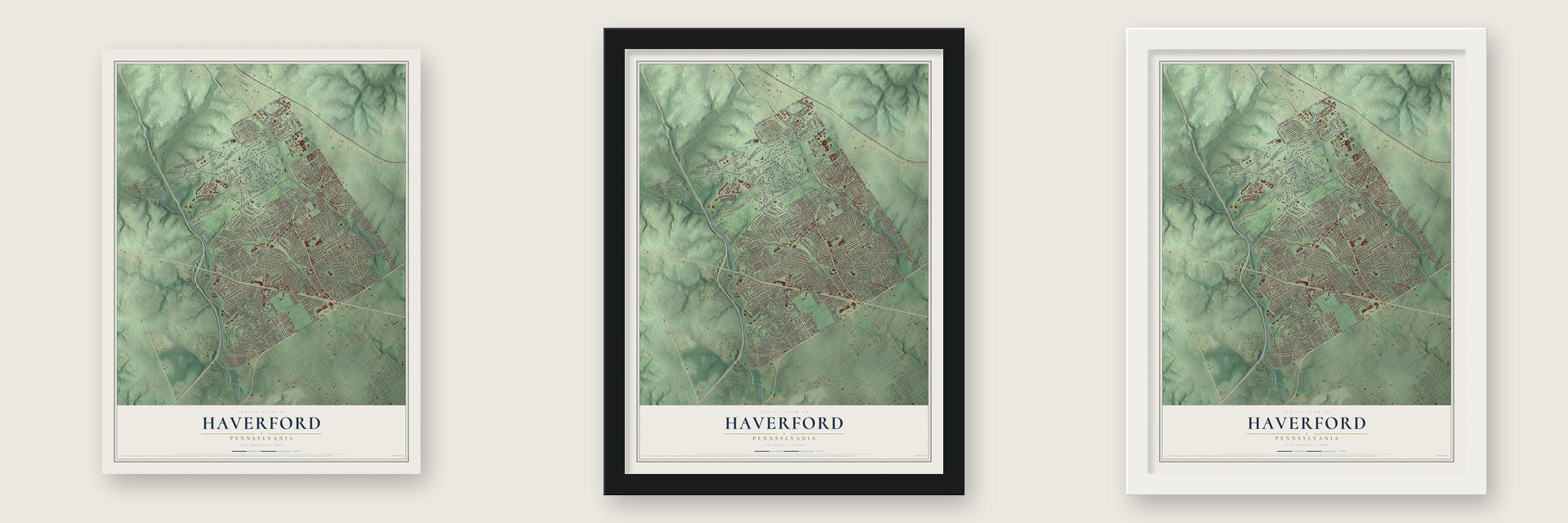
Unframed archival matte, a black wood frame or a white wood frame.
Up close
Geography Worth Displaying
This map was created using accurate cartographic data and authoritative geographic sources, including the U.S. Geological Survey and the Census Bureau. The map brings together terrain, waterways, roads, and building detail. The majority of the streets are labeled, houses are accurately depicted, and the topography is derived from government sources. Combining local data with carefully composed color and shading leads to this beautifully detailed Haverford artwork for your wall.
Rather than simply showing street outlines, we’ve included as many of the street names as we could reasonably fit on the map while keeping their names legible. Zoom in on the high resolution preview to see exactly what’s on the map. We truly set out to create a statement piece for anyone who loves Haverford. So whether it’s for you, or a gift for someone you love, we hope this map of Haverford brings back fond memories.
Read the story behind this map of Haverford, Pennsylvania from 2026.

Find your street
Names on the Haverford map
Every name below is printed on this map. Look for your street, your school, the park where you played, or the pond down the road.
Places and landmarks21
- Hilltop Park
- Polo Field
- Adele
- Allgates
- Ardmore Park
- Bon Air
- Brookline
- Bryn Mawr Place
- Foxcroft
- Grassland
- Haverford Village
- Havertown
Show all 21 places
- Haverwood
- Kirklyn
- Llanerch
- Manoa
- Oakmont
- Penfield
- Pilgrim Gardens
- Richland
- West Gate Hills
Streets and roads300
- East Township Line Road
- City Avenue
- West Chester Pike
- Sproul Road
- Haverford Road
- East County Line Road
- Morris Road
- West Darby Road
- Darby Road
- Landover Road
- Marple Road
- East Railroad Avenue
- East Eagle Road
- West Eagle Road
- North Eagle Road
- Green Lane
- South Eagle Road
- Wynnewood Road
- Ellis Road
- Steel Road
- Earlington Road
- College Avenue
- Lawrence Road
- Ardmore Avenue
- Tunbridge Road
- Glendale Road
- Karakung Drive
- Darby Creek Road
- Coopertown Road
- East Manoa Road
Show all 300 streets
- Buck Lane
- Burmont Road
- Golfview Road
- Mill Road
- Parkview Drive
- Washington Avenue
- Highland Lane
- Paddock Road
- Belmont Avenue
- Upland Road
- Maryland Avenue
- Dill Road
- Strathmore Road
- Brookline Boulevard
- West Hathaway Lane
- Kathmere Road
- Colfax Road
- Robinson Avenue
- East Golfview Road
- Windsor Park Lane
- Virginia Avenue
- Golf House Road
- Roosevelt Avenue
- Pembroke Road
- Golf Hills Road
- Sunnyhill Road
- Myrtle Avenue
- Campbell Avenue
- Fairview Avenue
- Valley Road
- Brennan Drive
- South Manoa Road
- Manor Road
- Walnut Hill Lane
- Walton Lane
- Greenview Lane
- Hathaway Lane
- Whitemarsh Road
- David Drive
- Powder Mill Lane
- Valley Ridge Road
- Allston Road
- Brentwood Road
- Shawnee Road
- Bon Air Road
- Lawson Avenue
- Treaty Road
- Kenmore Road
- Lincoln Avenue
- Meadows Lane
- Heatherwood Road
- West Hillcrest Avenue
- Lee Circle
- Rose Tree Lane
- North Manoa Road
- East Park Road
- Avon Road
- Panmure Road
- Rodmor Road
- Winton Avenue
- Featherbed Lane
- Bellemead Avenue
- Llanerch Avenue
- Lorraine Avenue
- Crescent Hill Drive
- Farwood Road
- Merrybrook Drive
- Deer Road
- Hilltop Road
- Foxfields Road
- East Turnbull Avenue
- Leedom Road
- Ridgeway Road
- Rodney Circle
- Walnut Place
- Belvedere Avenue
- Edmonds Avenue
- Belfield Avenue
- North Concord Avenue
- Edgewood Road
- Beechwood Drive
- Ralston Avenue
- Flintlock Road
- Dermond Road
- Woodleigh Road
- Olympic Avenue
- Fawn Lane
- Llandillo Road
- Rittenhouse Circle
- Oakford Road
- Juniper Road
- Josie Lane
- Garlor Drive
- Cherry Lane
- Signal Road
- Martin Avenue
- West Ardmore Avenue
- Williams Road
- Exeter Road
- Naylors Run Road
- Stanton Road
- Hirst Terrace
- Charles Drive
- Howell Lane
- Center Road
- Surrey Lane
- Tenby Road
- Larchmont Avenue
- Penn Street
- Blakeley Road
- Central Avenue
- Ashurst Road
- Yale Road
- Lakeside Avenue
- Barbara Lane
- Robin Lane
- Wynne Avenue
- Beverly Road
- Hermosa Lane
- Foster Avenue
- Millbrook Lane
- Dover Road
- Llandaff Road
- Norman Road
- Radnor Road
- Circle Drive
- Quaker Lane
- Lenox Road
- Overhill Road
- Jacalyn Drive
- Ellston Road
- Whitby Road
- Oak Way
- Bala Lane
- Doe Road
- West Lancaster Avenue
- East Haverford Road
- North Drexel Avenue
- College Lane
- Chestnut Avenue
- Warrior Road
- Hastings Avenue
- Shelbourne Road
- Ivy Rock Lane
- Olcott Avenue
- Willow Avenue
- Garfield Avenue
- James Drive
- Twin Oaks Drive
- Glen Arbor Road
- Pennsylvania Avenue
- Stockton Road
- Morlyn Avenue
- Furlong Avenue
- Achille Road
- Bryan Street
- Gilmore Road
- Delmont Avenue
- Quary Center Drive
- Decatur Road
- Grove Place
- Carter Road
- Annabella Avenue
- Andover Road
- Pilgrim Lane
- Green Valley Road
- Woodcroft Road
- West Clearfield Road
- Linden Drive
- Cambridge Road
- Glen Ridge Drive
- Hirst Avenue
- Rose Glen Road
- Columbia Road
- Country Club Lane
- Dartmouth Lane
- Scarlet Oak Drive
- Terra Alta Circle
- Lawndale Avenue
- Academy Lane
- Rugby Road
- Colonial Road
- Stump Lane
- Malvern Road
- West Marthart Avenue
- Nancy Drive
- Preston Avenue
- Taylor Lane
- Coursey Road
- Valley Glen Drive
- Polo Road
- Royal Avenue
- Hampton Road
- Warren Avenue
- Bambi Lane
- Raymond Drive
- Craig Lane
- Castle Rock Drive
- Harriet Lane
- Forest Avenue
- Clover Road
- Spring Road
- Pinzon Avenue
- Glen Terrace
- Greenbriar Lane
- Sagamore Road
- Cedarbrook Road
- Harrington Road
- Friendship Road
- Merwood Lane
- North Morgan Avenue
- North Ormond Avenue
- Ashton Road
- Leedom Avenue
- Caenarvon Lane
- Prescott Road
- Grand Avenue
- Poplar Road
- Allgates Drive
- Humphreys Road
- Marilyn Drive
- Frederick Road
- Homestead Avenue
- Bennington Road
- Old West Chester Pike
- Manoa Road
- Wynnefield Drive
- Claremont Boulevard
- Valley View Road
- Woodcrest Avenue
- Hannum Drive
- Pine Ridge Road
- Rockwood Drive
- Blackburn Lane
- Ashwood Road
- Wendy Road
- Wales Road
- Derwen Drive
- Walnut Lane
- Springhouse Lane
- Chelton Road
- Clifford Avenue
- Lone Oak Drive
- Westview Road
- Hillside Avenue
- Laurel Road
- Spring Mill Lane
- Down Circle
- Old Lancaster Road
- Melrose Avenue
- East Benedict Avenue
- Woodmere Way
- Penfield Avenue
- Fairfield Road
- Oakmont Avenue
- East Langhorne Avenue
- Westgate Road
- Sunnybrook Lane
- Wyndmoor Road
- Old Buck Lane
- Rising Sun Road
- Willowbrook Road
- Rosemont Avenue
- East Mercer Avenue
- Francis Drive
- Remington Road
- Fulmer Avenue
- Oakley Road
- Joann Circle
- Tracy Terrace
Names are listed as they appear on the printed map. Zoom into the product photos to find them.
About Haverford, Pennsylvania
Haverford is a township of 50,431 people in Delaware County. It was established in 1681 as one of the earliest Welsh townships in Pennsylvania. Its first settlers came during the 1680s from the country around Haverford-West, in South Wales, and gave their new home the old name, which local people later clipped to Harford.
Daniel Humphrey left Wales in 1682 and soon settled in the township, and his grandson Joshua was born here in 1751. Roads began to link the farms to the places people gathered. On May 8, 1696, surveyors marked out a route that ran from David Meredith's plantation in Radnor Township to the Haverford meeting-house.
- The man behind Old IronsidesJoshua Humphrey was still a boy when he left Haverford to work for a ship carpenter in Philadelphia. In 1794 he was commissioned to design six frigates for the new U.S. Navy, which made him the nation's first naval constructor. One of those ships was the Constitution, launched on October 21, 1797, and later known as Old Ironsides. The 1884 county history called him the father of the American navy.
- Home at Pont ReadingHumphrey came back to his family's land in Haverford and spent his last thirty years there. He lived in the Pont Reading house from 1803 until his death in 1838. A state historical marker on Haverford Road, between Hathaway Lane and Woodcrest Avenue, faces the house from across the road.
- A son who turned down RussiaJoshua's son Samuel learned ship design from his father. The Russian emperor offered Samuel sixty thousand dollars a year, with a mansion, a coach, horses and servants, to build ships for him. Samuel refused the offer and said that his work belonged to his own country.
Keep exploring Pennsylvania
Haverford is one of 3,725 Pennsylvania towns we've mapped. Every dot on the map is a print of its own.
The search covers every state, Pennsylvania first.
Near Haverford
Order 2 or more town maps and save 10%. Shown in the size and finish you picked above, so they hang as a set.
- Manoa 12" x 18" / Archival Matte Print $39.99
- Ardmore 12" x 18" / Archival Matte Print $39.99
- Haverford College 12" x 18" / Archival Matte Print $39.99
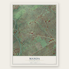
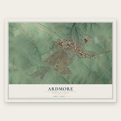

More maps nearby: Broomall, Bryn Mawr, Penn Wynne, Wynnewood and Drexel Hill.
The art of mapping a place
How This Map Was Made
Real places. Remarkable detail. Discover the layers that turn geographic data into a map of home.

The view from above
Aerial imagery reveals the character of the land: woodland, open fields, and the patterns of a place.

The shape of the land
Elevation data brings hills, valleys, and subtle changes in the landscape into view.

The details of home
Roads, waterways, and building footprints come together to make the map feel unmistakably local.

Geography becomes art
Considered color, shading, and typography bring the layers together in a map made for your wall.


Process illustrated with Mendon, Massachusetts. Aerial imagery: USDA NAIP. Terrain: USGS 3D Elevation Program. Map details and finished artwork: KNOWOL.
The Details
About This Print
Choose an archival matte print, or a black or white Ayous wood frame. The archival matte print is unframed.
Select your size and finish above to see the matching product image and price.
Materials & Craftsmanship
A contemporary map with the character of a classic atlas, printed on archival matte paper. Optional frames are made from Ayous wood.
Your printed map does not include the watermark shown in the full-map preview.
Shipping & Delivery
Free shipping within the United States. Every print is made to order in the USA.
Buying a gift? Add a note in your cart and we'll include it. We never put prices in the package.
Prints ship within 2 to 3 business days. Allow 7 to 10 days total from ordering for delivery. Timing may vary during holidays or periods of high order volume.
Read our shipping policy.
Returns and damaged prints
Each print is made to order. Change-of-mind refunds are not available after production.
If your print arrives damaged, misprinted or incorrect, contact support@knowol.com within 30 days of receiving it. Include your order number, photos and a description of the issue.
Read our full refund and replacement policy. For questions about your order, email support@knowol.com.