
Search for another town





Free U.S. delivery 7 to 10 days after you order
Henderson, Texas Map Art
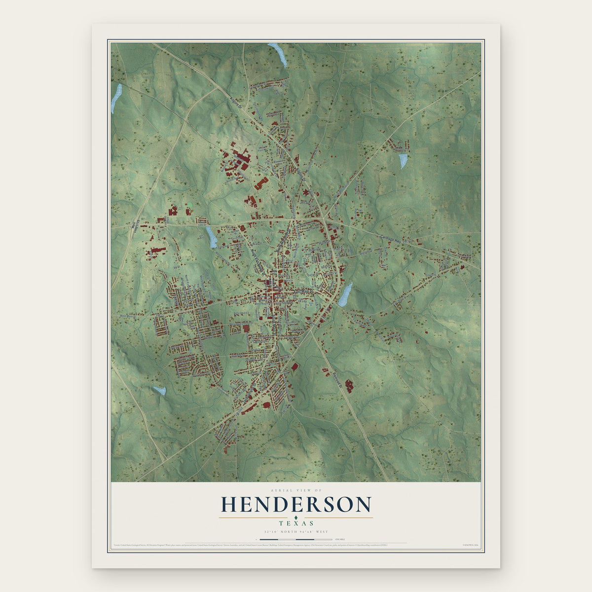
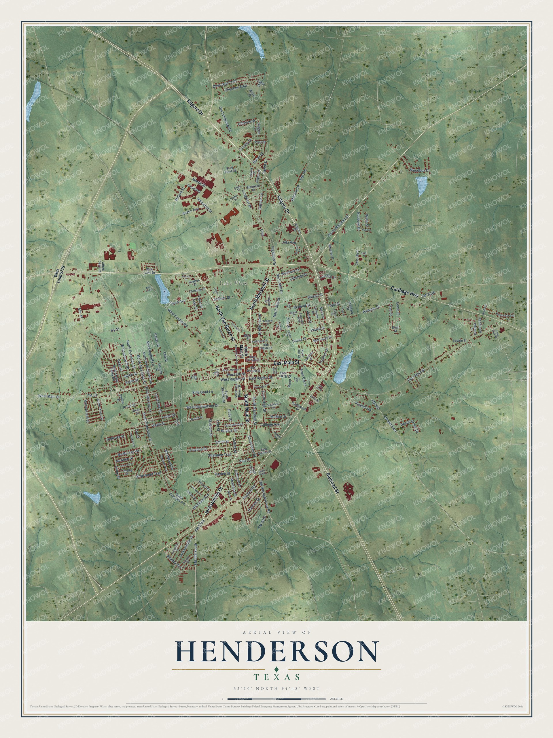
A new map of Henderson, Texas, made in 2026 and printed to order on thick archival matte paper.
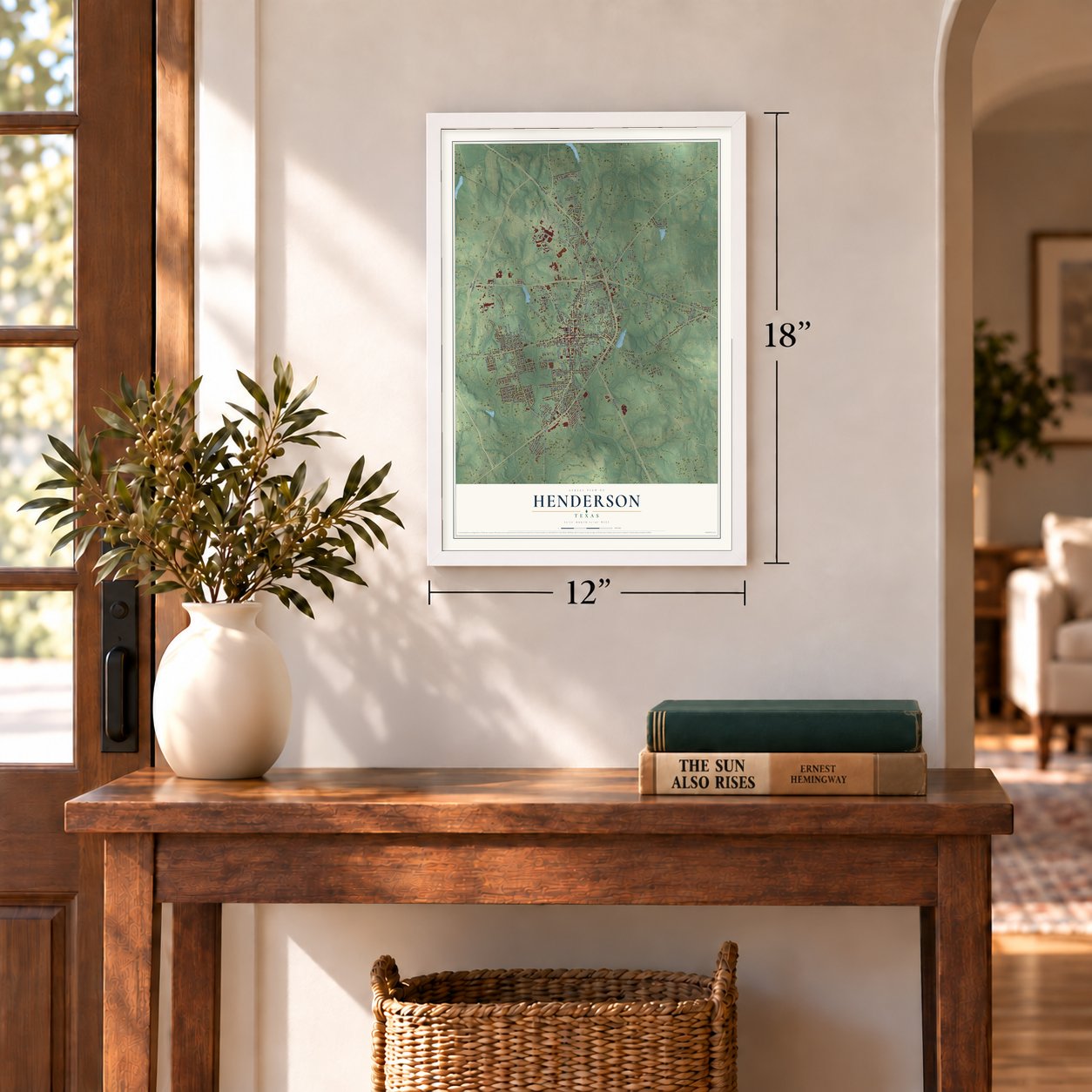
12" x 18" Archival Matte Print
A Map of Home. A Work of Art.
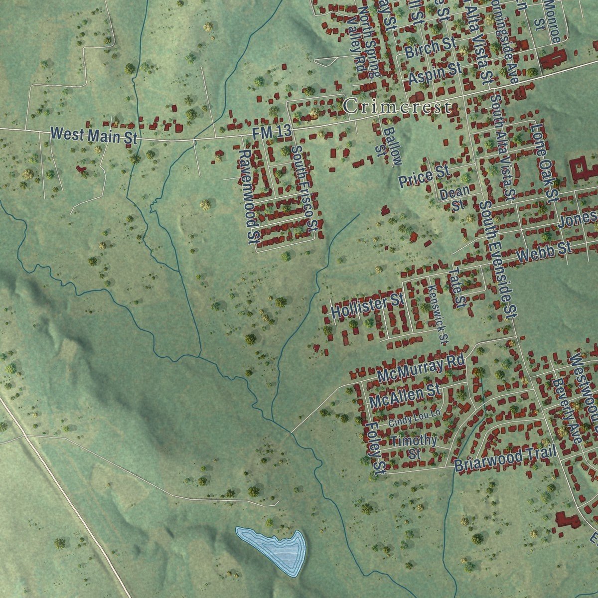
This beautifully detailed map of Henderson, Texas was created in 2026 using aerial imagery combined with modern topographical, census, street and landmark data. It's a modern aerial view of Henderson in Rusk County, Texas, that combines modern data with a vintage aesthetic. Zoom in on the preview and look for your block.
Three ways to hang it
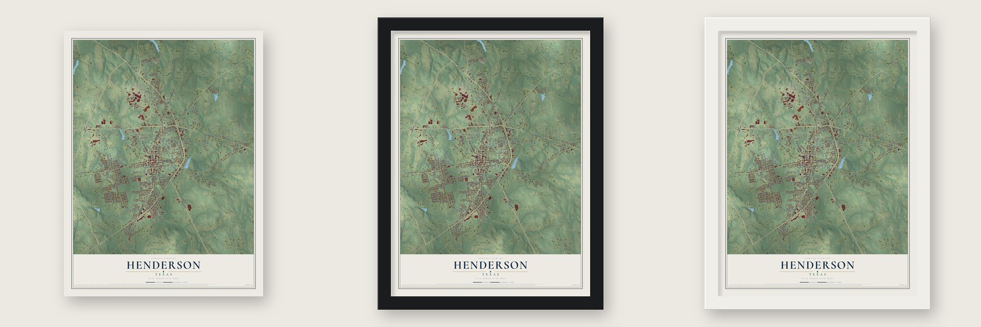
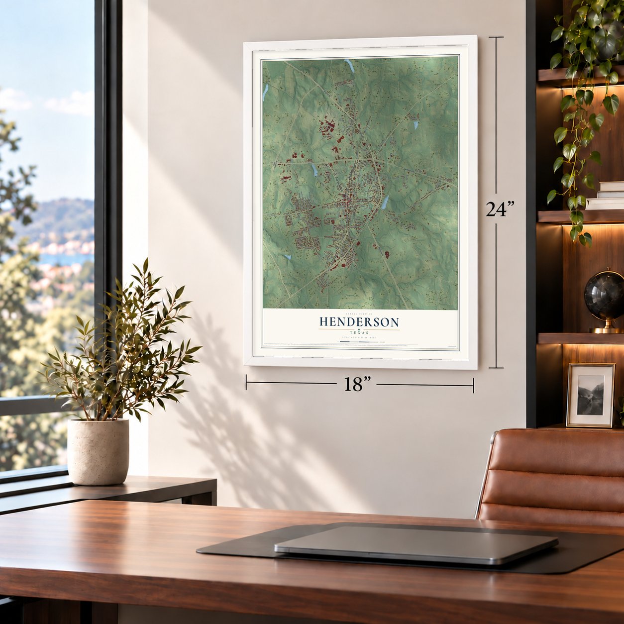
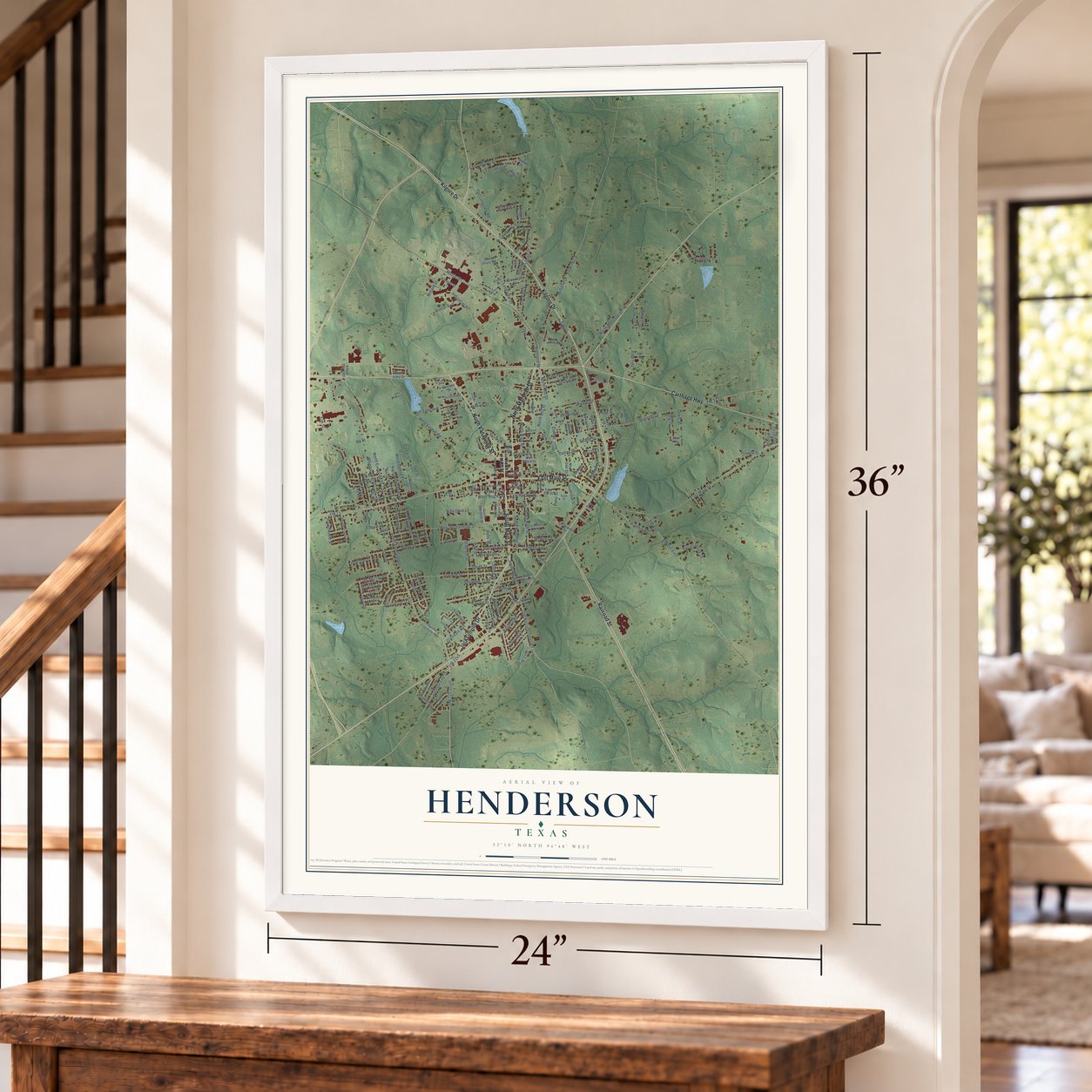
Unframed archival matte, a black wood frame or a white wood frame.
Up close
Real geography. Art worth displaying.
This map was created using accurate cartographic data and authoritative geographic sources, including the U.S. Geological Survey and the Census Bureau. The map brings together terrain, waterways, roads, and building detail. The majority of the streets are labeled, houses are accurately depicted, and the topography is derived from government sources. Combining local data with carefully composed color and shading leads to this beautifully detailed Henderson artwork for your wall.
Rather than simply showing street outlines, we’ve included as many of the street names as we could reasonably fit on the map while keeping their names legible. Zoom in on the high resolution preview to see exactly what’s on the map. We truly set out to create a statement piece for anyone who loves Henderson. So whether it’s for you, or a gift for someone you love, we hope this map of Henderson brings back fond memories.
Read the story behind this map of Henderson, Texas from 2026.

About Henderson, Texas
Located in Texas, Henderson is the seat of Rusk County. Historical records follow the community through the people and institutions that shaped local life. The 2020 census recorded 13,271 residents, providing a recent count within that longer story.
“The Henderson and Overton Branch Railroad was completed in 1877 and connected the agricultural center of Henderson with the International & Great Northern at Overton.”
- 13,271 residentsThe Census Bureau recorded this population in 2020.
- Rusk County seatHenderson serves as the county seat.
- Laid out in 1843Historical accounts say the townsite was laid out in 1843.
- Crim, Elias and Mattie, HouseCrim, Elias and Mattie, House appears in the National Register records, with a listing date in 2005.
- 12.0 square milesThe Census Bureau reports a total area of 12.0 square miles.
Find your street
Names on the Henderson map
Every name below is printed on this map. Look for your street, your school, the park where you played, or the pond down the road.
Places and landmarks4
- Crimcrest
- Lake View
- Fair Park
- Yates Park
Streets and roads203
- Kilgore Drive
- Jacksonville Drive
- North Van Buren Street
- East Main Street
- South Main Street
- North Marshall Street
- Railroad Street
- Carthage Highway
- West Main Street
- FM 13
- FM 225 South
- FM 840
- North Alta Vista Street
- FM 840 East
- Aspin Street
- Old Nacogdoches Road
- Taylor Drive
- West Ragley Street
- North Mill Street
- Highland Drive
- Penn Street
- Ohio
- Cedar Street
- Peach Street
- Webster Drive
- South Evenside Street
- West Fordall Road
- North Evenside Street
- Elm Street
- Longview Drive
Show all 203 streets
- Whippoorwill Street
- Slaydon Street
- Morris Street
- West Richardson Drive
- Wilson Street
- Millville Drive
- Industrial Drive
- West Elk Street
- Hubbard Drive
- Gray Street
- Shawnee Trail
- North High Street
- FM 3310
- Redbud Street
- South High Street
- Pine Street
- South Marshall Street
- Price Street
- Briarwood Trail
- Mockingbird Lane
- East Ragley Street
- Stadium Street
- Cherokee Trail
- Rayford Road
- FM 782
- Pinehill Road
- Sand Avenue
- Old Longview Road
- Glendale Avenue
- McMurray Road
- College Avenue
- Lion Street
- Garden Lane
- Westwood Drive
- Billy Goat Lane
- Webb Street
- Jones Street
- Jenkins Street
- Crosby Drive
- Woodbox Drive
- Lone Oak Street
- Choctaw Trail
- Smith Street
- Johnson Drive
- Zeis Boulevard
- Pecan Creek Drive
- Clay Street
- Shawnee Street
- Lewis Street
- Sunset Avenue
- North Mill Drive
- Ruby Street
- Alberta Avenue
- Ravenwood Street
- Colonial Street
- Jola Avenue
- Truman Drive
- McNee Drive
- Duncan Drive
- Birch Street
- Wylie Street
- Bell Street
- Collins Street
- Baker Street
- Austin Avenue
- McAllen Street
- Foley Street
- Pope Street
- Rogers Street
- Millard Street
- McClarty Street
- Hillview Drive
- Kaylee Street
- Ivy Street
- Dallas Street
- Yandle Drive
- Zion Street
- Hollister Street
- Lee Street
- FM 3135
- North Main Street
- South Frisco Street
- South Evenside Avenue
- Lone Star Street
- Monroe Street
- South Alta Vista Street
- Van Sickle Street
- South Van Buren Street
- South Standish Street
- East Elk Street
- Beverly Avenue
- North Morningside Avenue
- North Spring Valley Road
- Village Street
- Forrest Street
- Jonell Street
- South Oak Street
- Southwood Drive
- Woodlawn Street
- North Oak Street
- Tatum Street
- Tate Street
- Blacknall Drive
- Overton Street
- Ridglea Lane
- East Collins Street
- Timothy Street
- Waldrop Street
- Christian Street
- Hamlett Street
- Parkview Drive
- Brick Plant Road
- East Fordall Street
- Oliver Street
- Whatley Street
- East Minden Street
- Hubbard Street
- Alford Dairy Road
- Gerald Street
- Biloxi Street
- Oaklawn Drive
- Regent Street
- Lowrie Street
- Ballow Street
- Marie Street
- Reedy Street
- Caddo Street
- West Lake Drive
- Pruitt Street
- Dean Street
- Laylon Street
- Tipps Street
- Julie Street
- Mary Street
- Lobb Street
- Neal Street
- Kaynell Drive
- Ramblewood Drive
- Robertson Boulevard
- Fair Park Avenue
- East Depot Street
- Southview Drive
- Worth Street
- Waskom Street
- West Minden Street
- Laurinda Street
- Pamela Street
- Kenswick Street
- Soak Street
- Dobbs Street
- Sundown Trail
- Buford Lane
- Charles Street
- Hays Street
- Wood Street
- Suzy Lane
- Bradford
- Silvey Street
- Palmer Street
- Town East Road
- Rook Plaza
- Raymond Street
- Christian Drive
- Holliman Street
- Cindy Lou Lane
- Cleaver Street
- Russell Street
- Hillcrest Street
- Paige Street
- South Mill Street
- West Fordall
- Billy Bob Street
- Isaac Street
Names are listed as they appear on the printed map. Zoom into the product photos to find them.
The art of mapping a place
How This Map Was Made
Real places. Remarkable detail. Discover the layers that turn geographic data into a map of home.

The view from above
Aerial imagery reveals the character of the land: woodland, open fields, and the patterns of a place.

The shape of the land
Elevation data brings hills, valleys, and subtle changes in the landscape into view.

The details of home
Roads, waterways, and building footprints come together to make the map feel unmistakably local.

Geography becomes art
Considered color, shading, and typography bring the layers together in a map made for your wall.


Process illustrated with Mendon, Massachusetts. Aerial imagery: USDA NAIP. Terrain: USGS 3D Elevation Program. Map details and finished artwork: KNOWOL.
The Details
About This Print
Choose an archival matte print, or a black or white Ayous wood frame. The archival matte print is unframed.
Select your size and finish above to see the matching product image and price.
Materials & Craftsmanship
A contemporary map with the character of a classic atlas, printed on archival matte paper. Optional frames are made from Ayous wood.
Your printed map does not include the watermark shown in the full-map preview.
Shipping & Delivery
Free shipping within the United States. Every print is made to order in the USA.
Buying a gift? Add a note in your cart and we'll include it. We never put prices in the package.
Prints ship within 2 to 3 business days. Allow 7 to 10 days total from ordering for delivery. Timing may vary during holidays or periods of high order volume.
Read our shipping policy.
Returns and damaged prints
Each print is made to order. Change-of-mind refunds are not available after production.
If your print arrives damaged, misprinted or incorrect, contact support@knowol.com within 30 days of receiving it. Include your order number, photos and a description of the issue.
Read our full refund and replacement policy. For questions about your order, email support@knowol.com.
Find your town
Looking for another city?
Find a map of home in our Texas collection.
Nearby
Maps of towns near Henderson
Know someone from one of these towns? Their map makes a great gift.
 New London
, Texas
From $39.99See the map
 Overton
, Texas
From $39.99See the map
 Arp
Arp, Texas
From $39.99See the map
More maps nearby: Lake Cherokee, Kilgore, Lakeport, Mount Enterprise and Troup.