
Search for another town


Free U.S. delivery 7 to 10 days after you order
Hohenwald, Tennessee Map Art
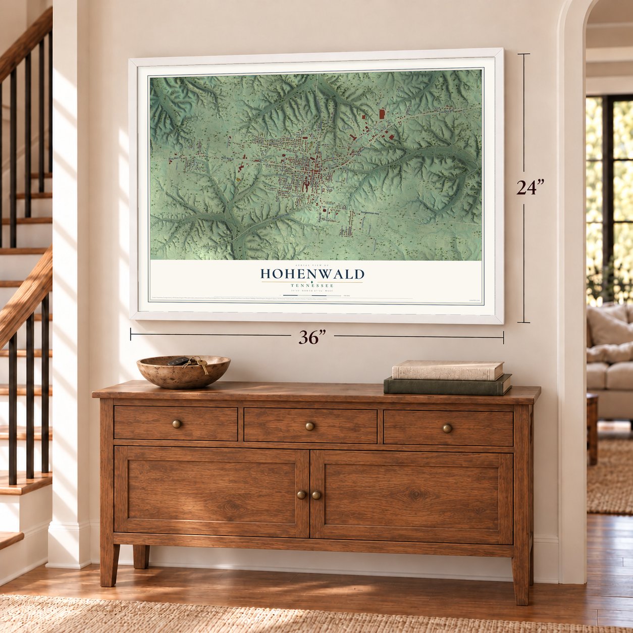
A new map of Hohenwald, Tennessee, made in 2026 and printed to order on thick archival matte paper.
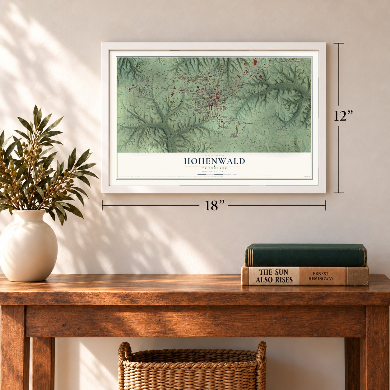
12" x 18" Archival Matte Print
A Map of Home. A Work of Art.
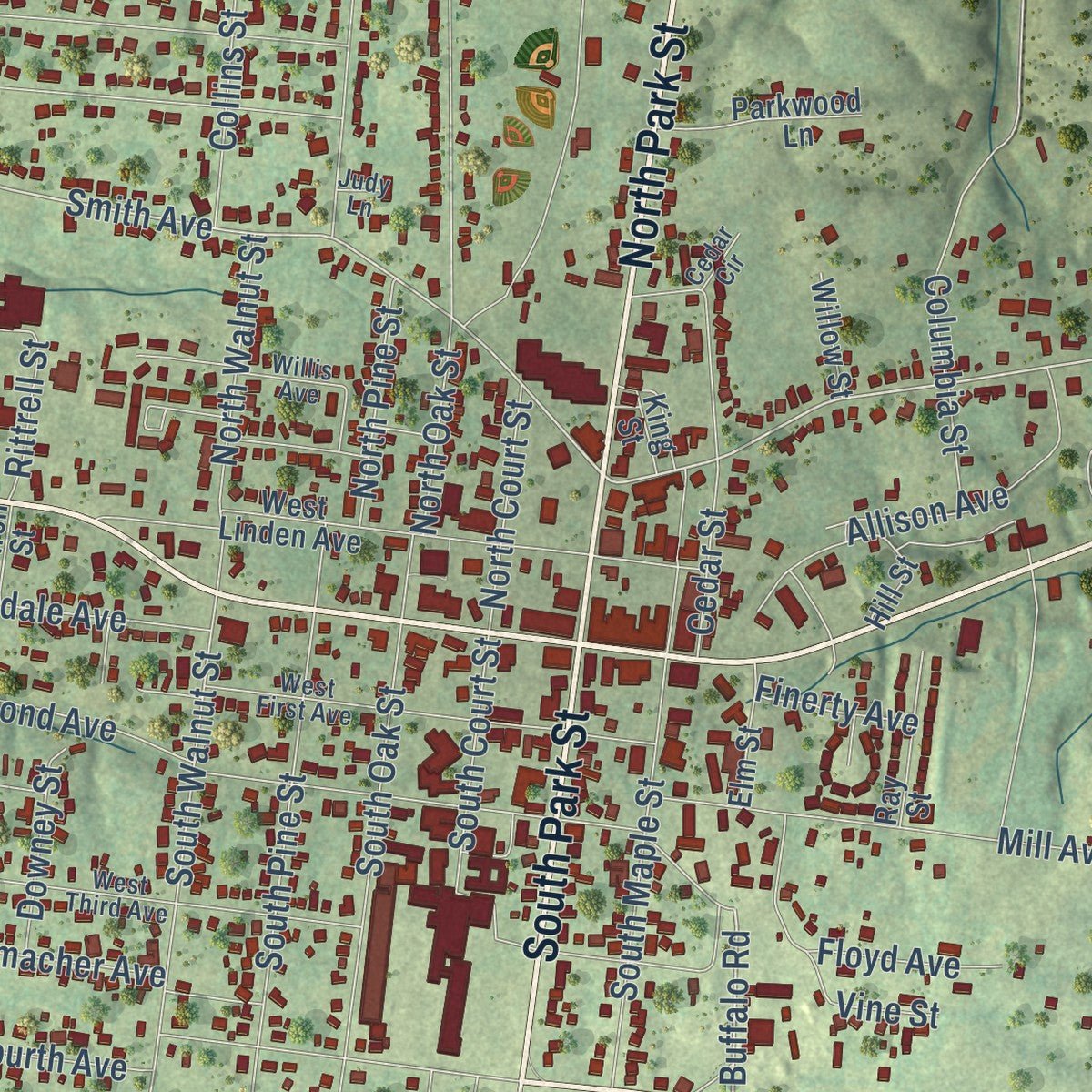
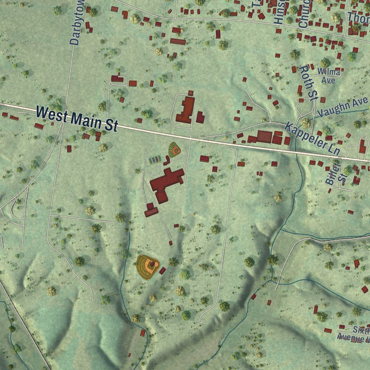
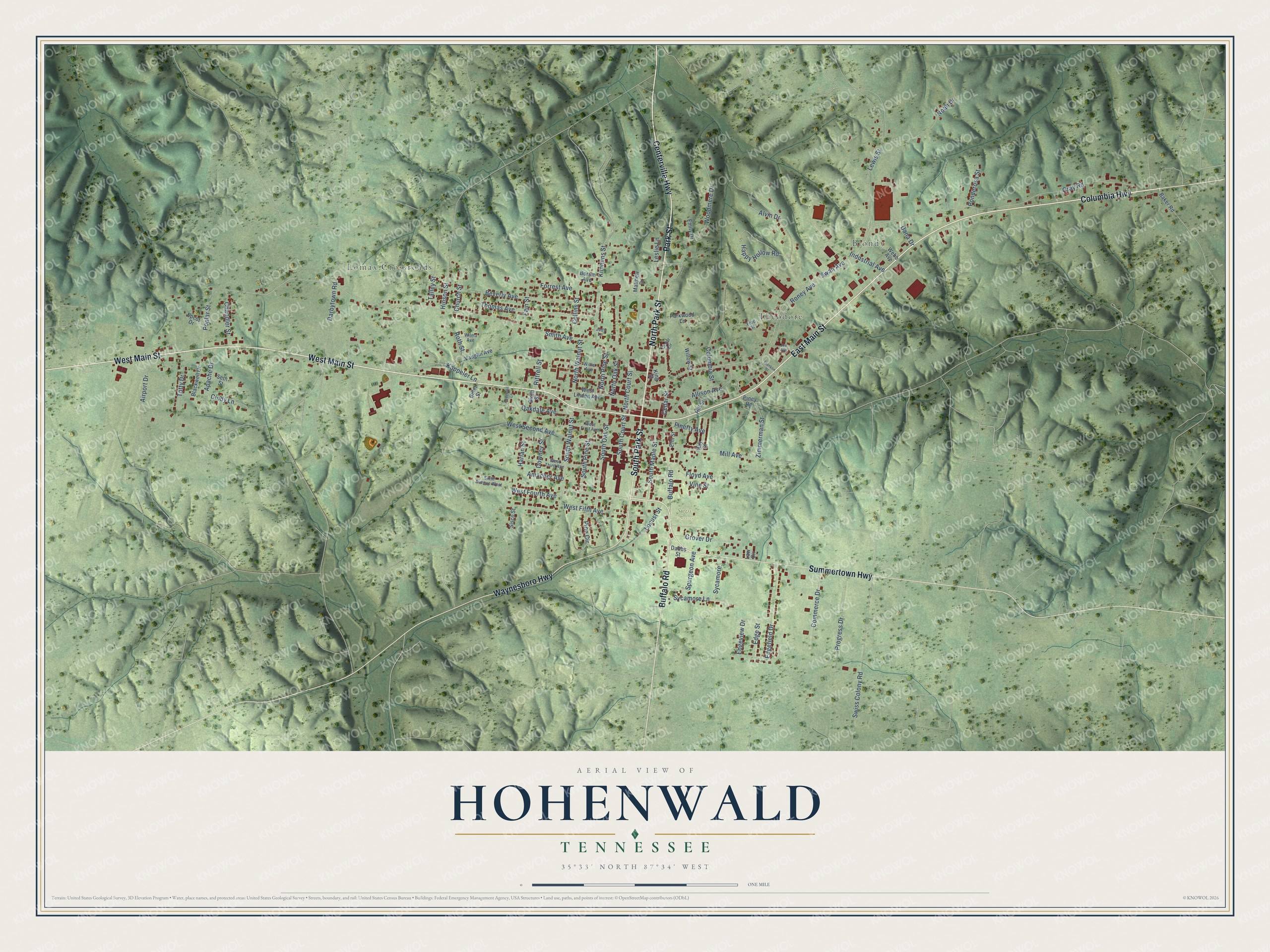
Explore Hohenwald, Tennessee from a whole new perspective. Created using aerial imagery and detailed geographic data, this map captures Hohenwald building by building, with labeled streets, familiar landmarks, and shaded topographical relief that highlights the natural contours of the landscape.
Combining modern data with the timeless character of a vintage atlas, this map is just as interesting up close as it is beautiful on the wall. Whether you grew up in Hohenwald, spent memorable years there, or call it home today, this unique map is a great way to celebrate a place that means something to you. Zoom in on the preview to look for your street, and then order a print to put your memories on the wall.
Three ways to hang it
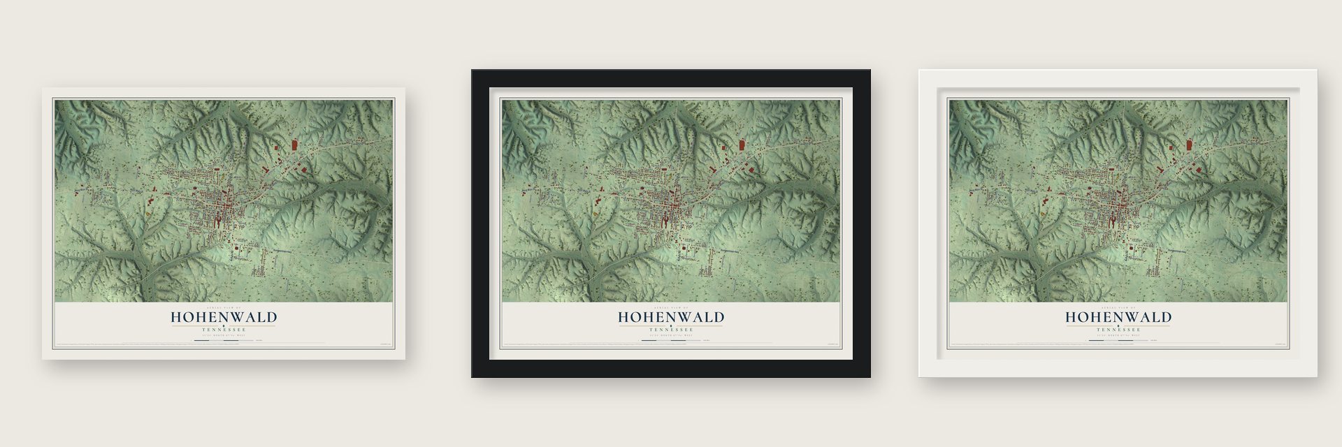
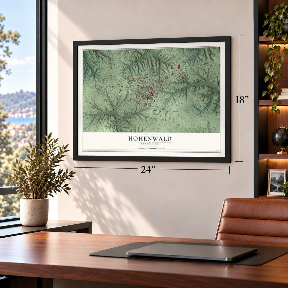
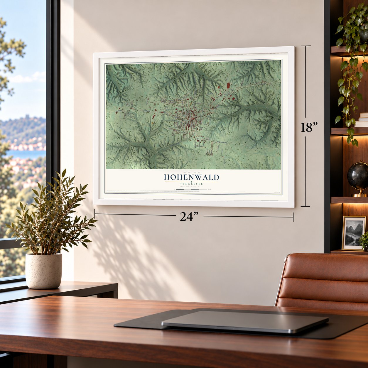
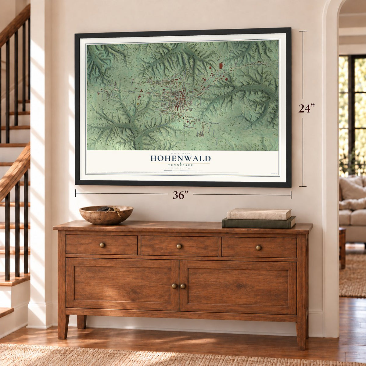
Unframed archival matte, a black wood frame or a white wood frame.
Up close
Geography Worth Displaying
This map was created using accurate cartographic data and authoritative geographic sources, including the U.S. Geological Survey and the Census Bureau. The map brings together terrain, waterways, roads, and building detail. The majority of the streets are labeled, houses are accurately depicted, and the topography is derived from government sources. Combining local data with carefully composed color and shading leads to this beautifully detailed Hohenwald artwork for your wall.
Rather than simply showing street outlines, we’ve included as many of the street names as we could reasonably fit on the map while keeping their names legible. Zoom in on the high resolution preview to see exactly what’s on the map. We truly set out to create a statement piece for anyone who loves Hohenwald. So whether it’s for you, or a gift for someone you love, we hope this map of Hohenwald brings back fond memories.
Read the story behind this map of Hohenwald, Tennessee from 2026.

About Hohenwald, Tennessee
Hohenwald is a city of 3,668 people and the county seat of Lewis County. It began as a crossroads store and home kept by Warren and Augusta Smith. Augusta, an immigrant from Germany, gave the place a German name meaning "high forest" for the wooded country of the Western Highland Rim around it. In the 1890s, after the railroad reached the community, Swiss-American J. G. Probst bought thirteen thousand acres in the county for a colony. He formed the Swiss Pioneer Union and advertised for settlers in German-language newspapers, and some Swiss families in the Midwest sold their farms to buy stock in it.
The first Swiss settlers came by train on November 17, 1895, expecting a finished town and working farms. The families who stayed got through the winter in tents and rough barracks, then laid out New Switzerland right beside Hohenwald, with square blocks and wide streets. Old residents and newcomers soon clashed over language, customs and money. The dispute went to court, and the ruling merged the two towns under the name Hohenwald.
“When the train stopped at the boxcar depot, many would-be settlers despaired at the sight before them and remained on the train, returning to the farms they had abandoned.”
- County seat since 1897People in Lewis County wanted their government in a more central spot, and the old seat at Newburg was in economic decline. In 1897 officials moved the county seat to Hohenwald, and the town received its charter in 1923. The Lewis County Courthouse, where that government still meets, joined the National Register in 2006.
- Swiss songs and Wilhelm TellIn 1910 Hohenwald had twelve hundred people, more than half claiming Swiss heritage. They sang in the Alpenroesli (Little Alpine Rose), danced waltzes at Society Park, staged the Wilhelm Tell play yearly and formed Echoes of Switzerland, a band that played for the general assembly. Women ran the Frauerein club. Anti-German feeling in World War I ended it all, and within a few years most Swiss families had dropped German-Swiss. Only recently have descendants revived the heritage.
- Timber, farm goods and laceThe Nashville, Chattanooga and St. Louis Railway carried the area's timber and crops to market and turned Hohenwald into the trading center of Lewis County. A New York firm, the Kurshedt Manufacturing Company, started making lace at a factory here in 1903. The Hohenwald Railroad Depot joined the National Register in 1987.
- Meriwether Lewis, 1809The Lewis and Clark Expedition's Meriwether Lewis died in 1809 at Grinder's Stand, seven miles east of where the town now stands, and was buried there. Lewis County is named for him.
Find your street
Names on the Hohenwald map
Every name below is printed on this map. Look for your street, your school, the park where you played, or the pond down the road.
Places and landmarks4
- Blondy
- Theodore
- Lomax Crossroads
- Swiss Cemetery
Streets and roads111
- West Main Street
- East Main Street
- Columbia Highway
- North Park Street
- Centerville Highway
- Park Street
- Summertown Highway
- Buffalo Road
- South Park Street
- Waynesboro Highway
- Sycamore
- Swan Avenue
- Smith Avenue
- Zimmerman Street
- Woodmere Drive
- West Fifth Avenue
- South Walnut Street
- South Pine Street
- Happy Hollow Road
- Kimmins Street
- Roney Avenue
- West Second Avenue
- Gray Road
- Beverly Avenue
- West Fourth Avenue
- South Oak Street
- Swiss Colony Road
- Forrest Avenue
- North Oak Street
- Thomas Avenue
Show all 111 streets
- Pine Circle
- Mill Avenue
- Noah Drive
- South Maple Street
- Lewis Street
- Progress Drive
- Edgefield Drive
- Oakdale Avenue
- Allison Avenue
- Industrial Avenue
- Darbytown Road
- Kappeler Lane
- Grover Drive
- Locust Street
- Commerce Drive
- Airport Drive
- Poplar Street
- Spurgeon Avenue
- Sycamore Lane
- Columbia Street
- Cedar Street
- Totty Drive
- North Walnut Street
- South Court Street
- North Pine Street
- Collins Street
- Vine Street
- Fain Street
- Chandler Street
- Apache Drive
- North Court Street
- Church Street
- Ponderosa Street
- Cindy Lane
- Harlan Street
- Rittrell Street
- Amacher Avenue
- Roth Street
- Downey Street
- Leslie Lane
- Edge Street
- Edgeview Drive
- Floyd Avenue
- Finerty Avenue
- Hinson Street
- Talley Street
- Alvin Drive
- Dana Drive
- West Linden Avenue
- Blackwell Drive
- Parkwood Lane
- Hill Street
- Webb Avenue
- Ray Street
- Vaughn Avenue
- Baker Road
- Piney Road
- Willow Street
- Seth Street
- Matthew Drive
- Epcot Drive
- Sisco Street
- Billet Street
- Dabbs Street
- Elm Street
- Borum Avenue
- Emily Drive
- Birch Street
- King Street
- Law Circle
- West Third Avenue
- West First Avenue
- Sixth Avenue West
- Willis Avenue
- Wilma Avenue
- Ford Street
- Cedar Circle
- Judy Lane
- Franklin Street
- Joe Avenue
- Anderson Lane
Names are listed as they appear on the printed map. Zoom into the product photos to find them.
The art of mapping a place
How This Map Was Made
Real places. Remarkable detail. Discover the layers that turn geographic data into a map of home.

The view from above
Aerial imagery reveals the character of the land: woodland, open fields, and the patterns of a place.

The shape of the land
Elevation data brings hills, valleys, and subtle changes in the landscape into view.

The details of home
Roads, waterways, and building footprints come together to make the map feel unmistakably local.

Geography becomes art
Considered color, shading, and typography bring the layers together in a map made for your wall.


Process illustrated with Mendon, Massachusetts. Aerial imagery: USDA NAIP. Terrain: USGS 3D Elevation Program. Map details and finished artwork: KNOWOL.
The Details
About This Print
Choose an archival matte print, or a black or white Ayous wood frame. The archival matte print is unframed.
Select your size and finish above to see the matching product image and price.
Materials & Craftsmanship
A contemporary map with the character of a classic atlas, printed on archival matte paper. Optional frames are made from Ayous wood.
Your printed map does not include the watermark shown in the full-map preview.
Shipping & Delivery
Free shipping within the United States. Every print is made to order in the USA.
Buying a gift? Add a note in your cart and we'll include it. We never put prices in the package.
Prints ship within 2 to 3 business days. Allow 7 to 10 days total from ordering for delivery. Timing may vary during holidays or periods of high order volume.
Read our shipping policy.
Returns and damaged prints
Each print is made to order. Change-of-mind refunds are not available after production.
If your print arrives damaged, misprinted or incorrect, contact support@knowol.com within 30 days of receiving it. Include your order number, photos and a description of the issue.
Read our full refund and replacement policy. For questions about your order, email support@knowol.com.
Find your town
Looking for another city?
Find a map of home in our Tennessee collection, or any town in the country.
Nearby
Maps of towns near Hohenwald
Know someone from one of these towns? Their map makes a great gift.
 Summertown
, Tennessee
From $39.99See the map
 Linden
, Tennessee
From $39.99See the map
 Lobelville
, Tennessee
From $39.99See the map
More maps nearby: Waynesboro, Centerville, Mount Pleasant, Ethridge and Lawrenceburg.