
Search for another town

Free U.S. delivery 7 to 10 days after you order
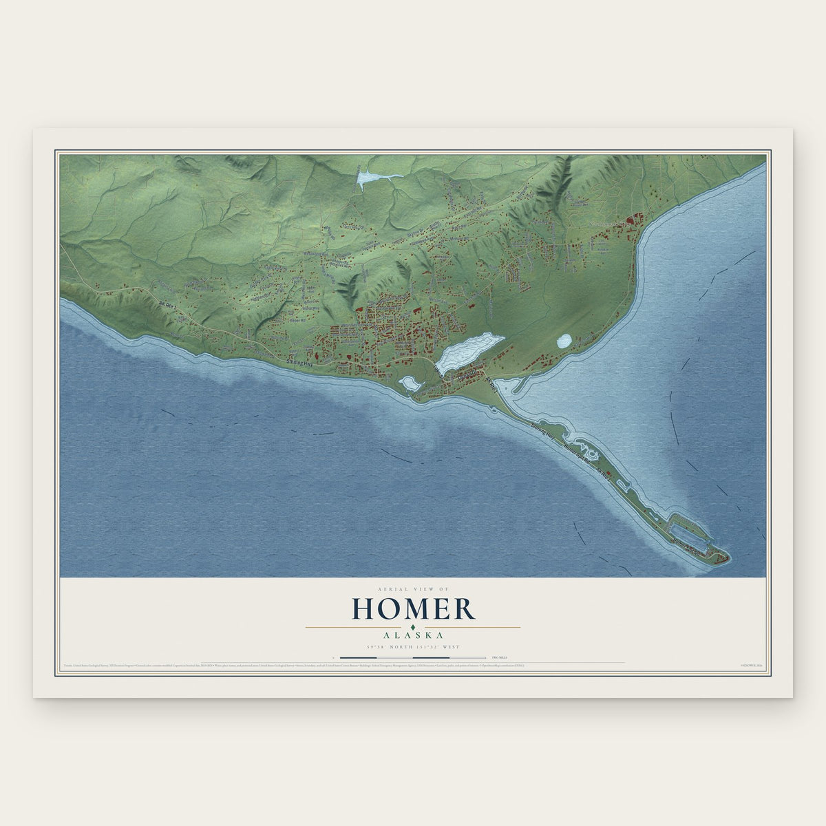
Homer, Alaska Map Art
Building by building, with labeled streets and shaded relief.
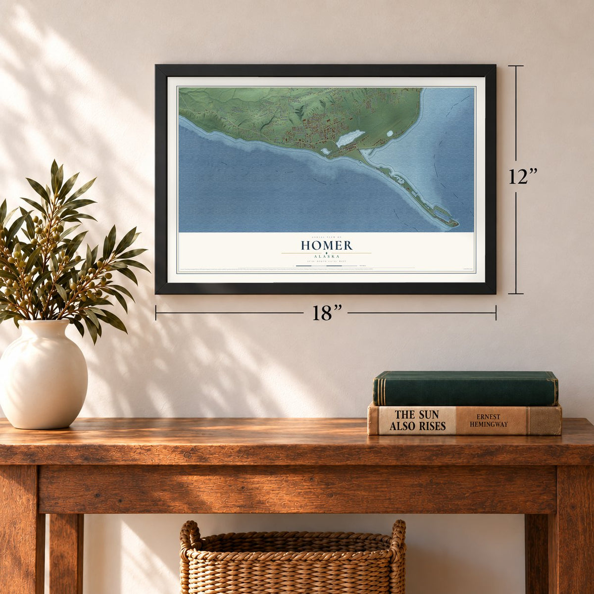
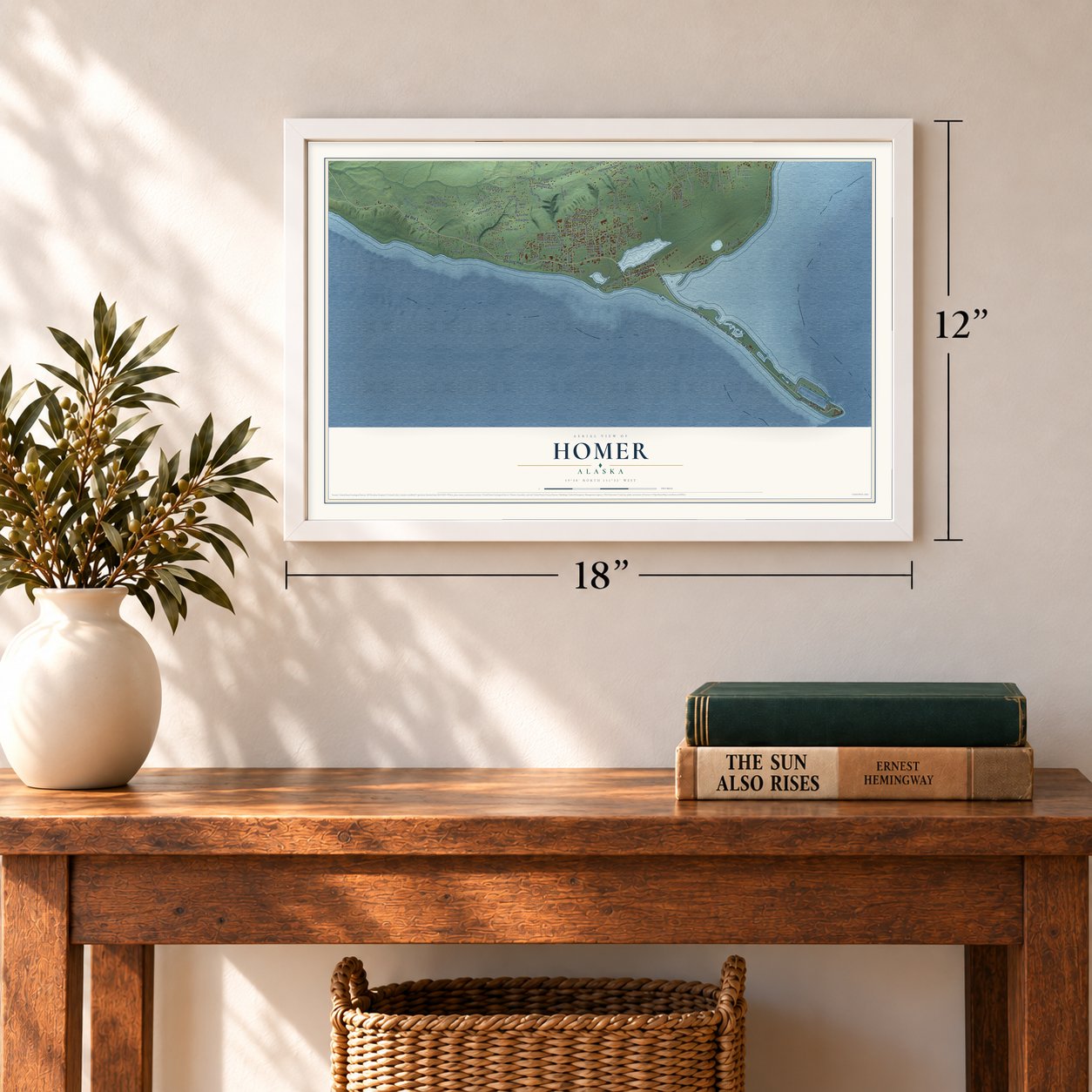
12" x 18" Archival Matte Print
A Map of Home. A Work of Art.
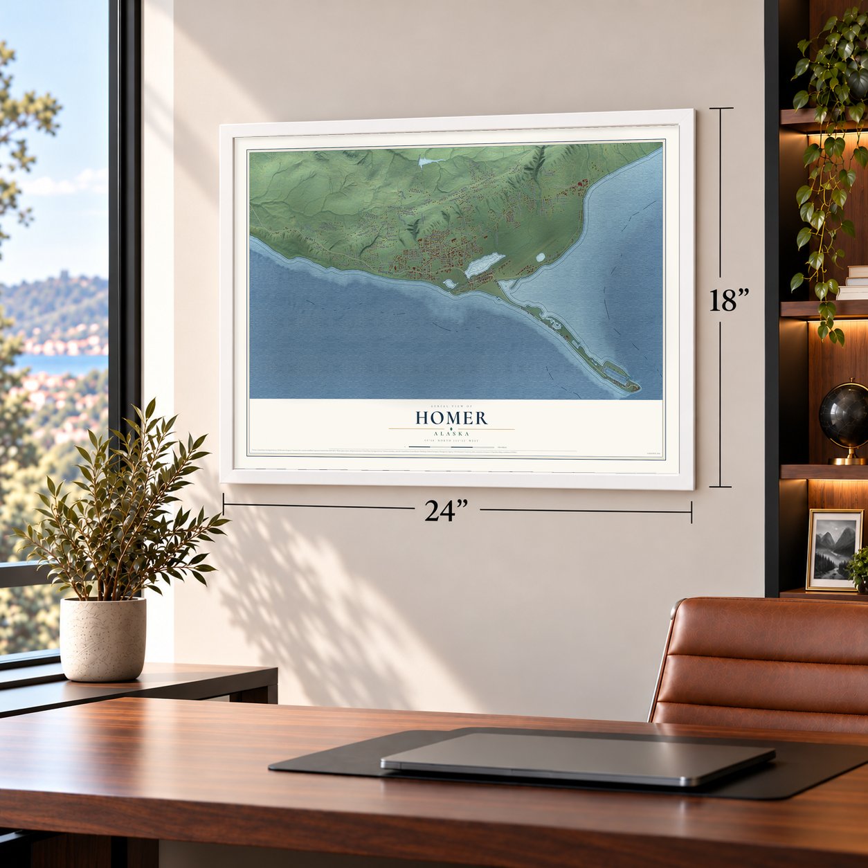
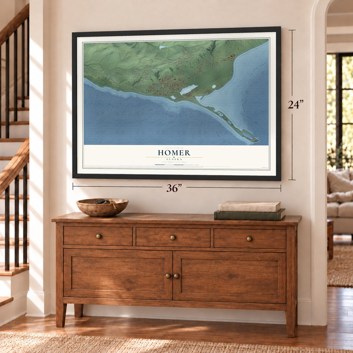
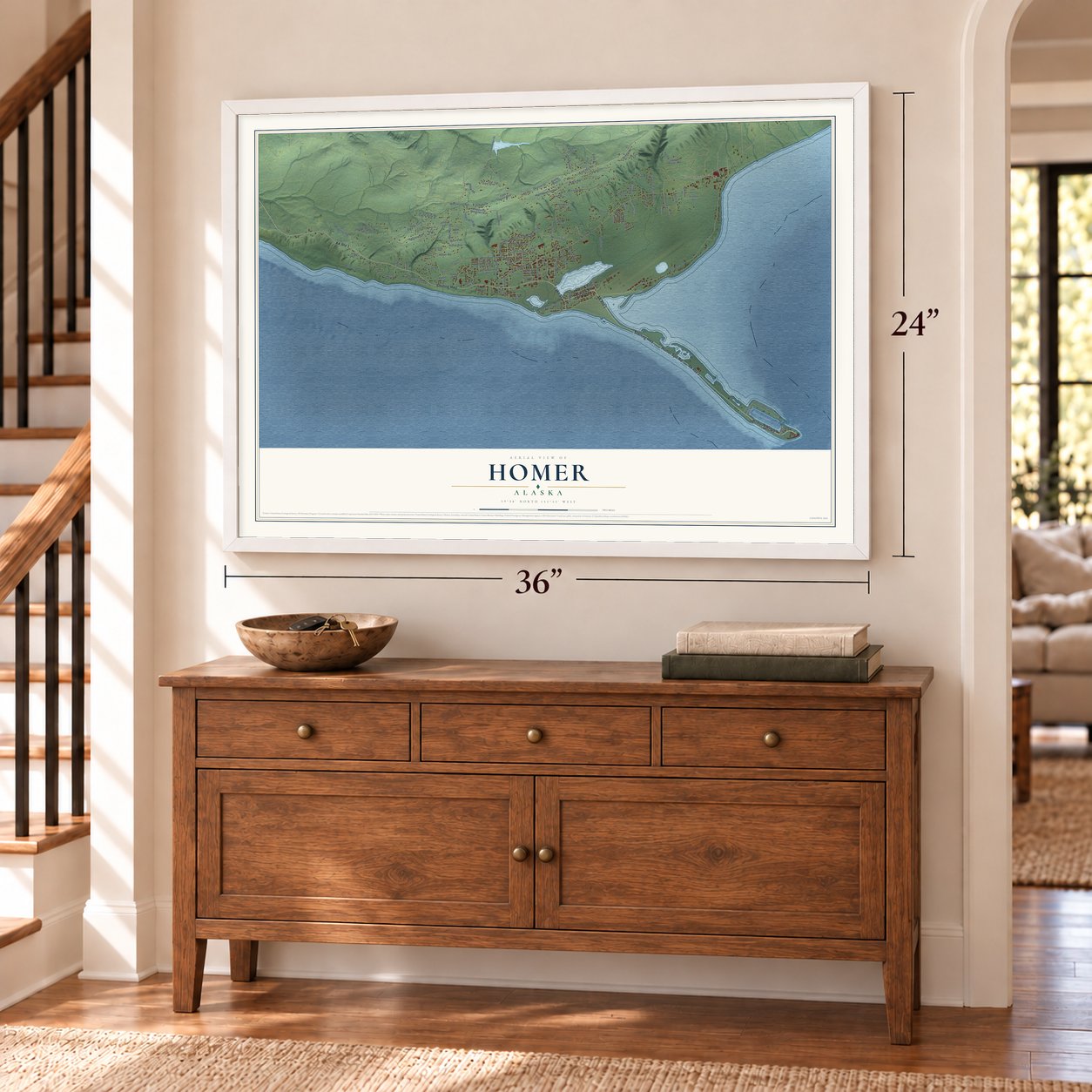
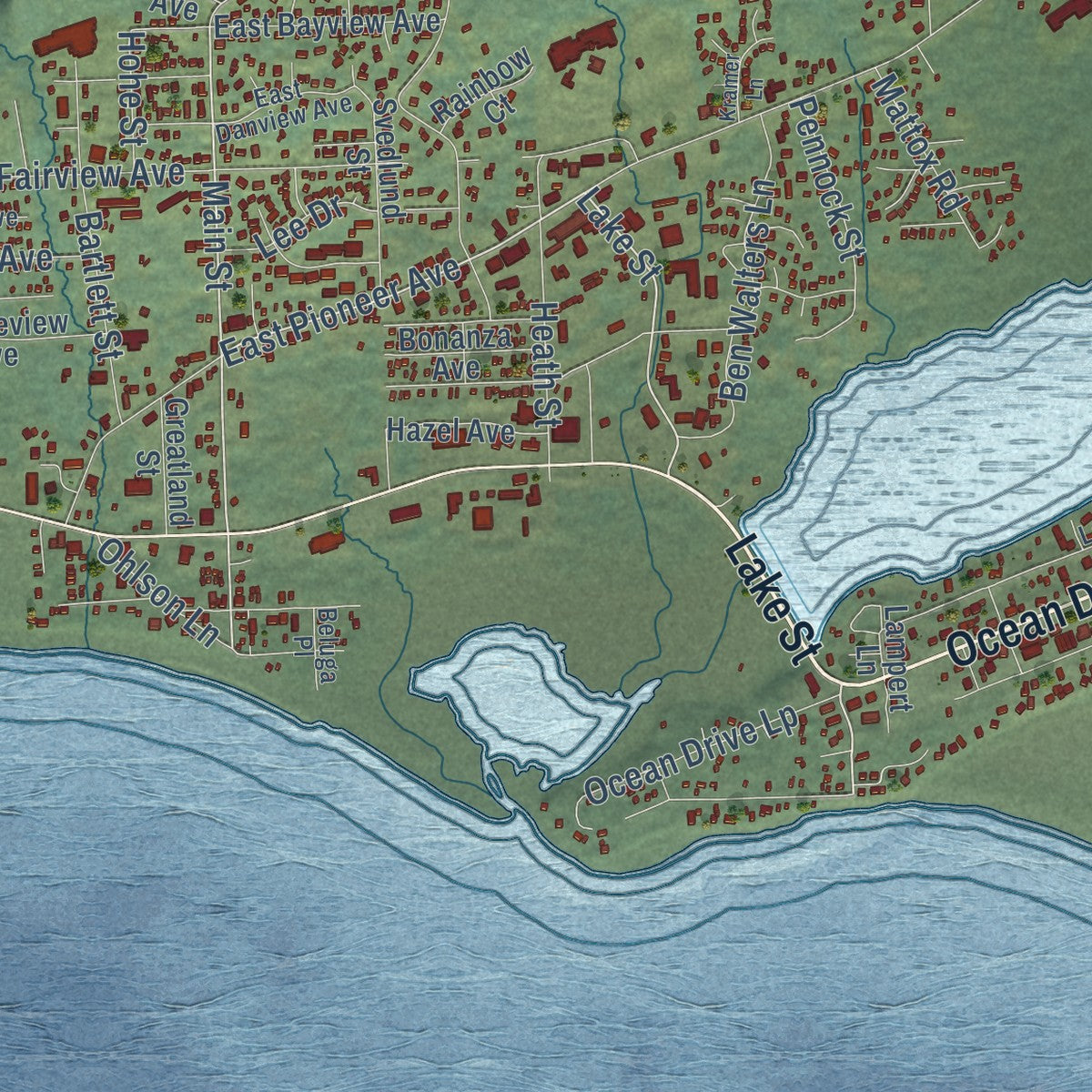
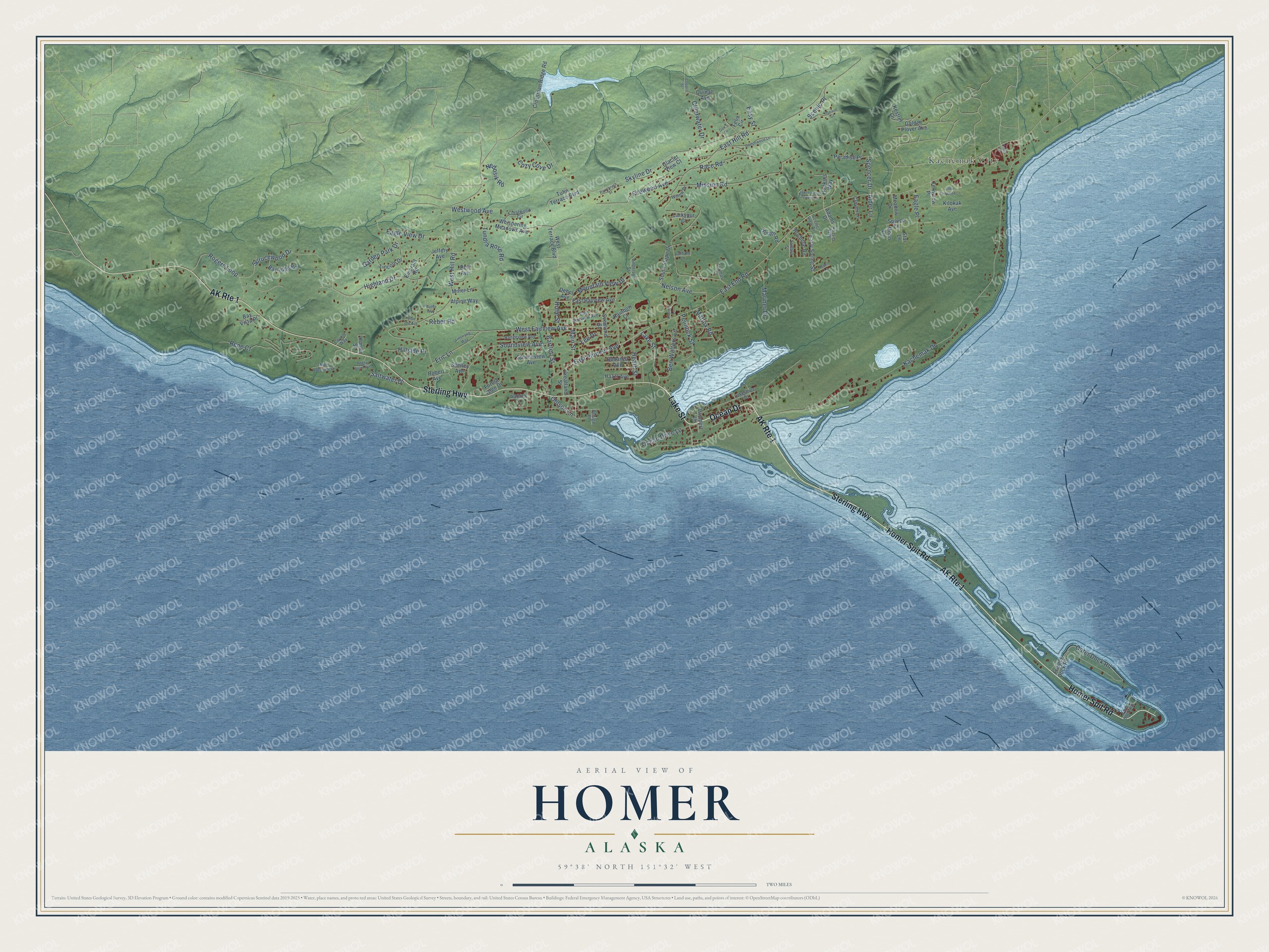
Explore Homer, Alaska from a whole new perspective. Created using aerial imagery and detailed geographic data, this map captures Homer building by building, with labeled streets, familiar landmarks, and shaded topographical relief that highlights the natural contours of the landscape.
Combining modern data with the timeless character of a vintage atlas, this map is just as interesting up close as it is beautiful on the wall. Whether you grew up in Homer, spent memorable years there, or call it home today, this unique map is a great way to celebrate a place that means something to you. Zoom in on the preview to look for your street, and then order a print to put your memories on the wall.
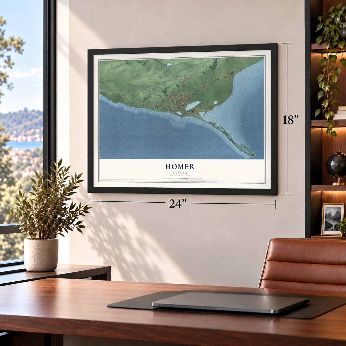
Three ways to hang it
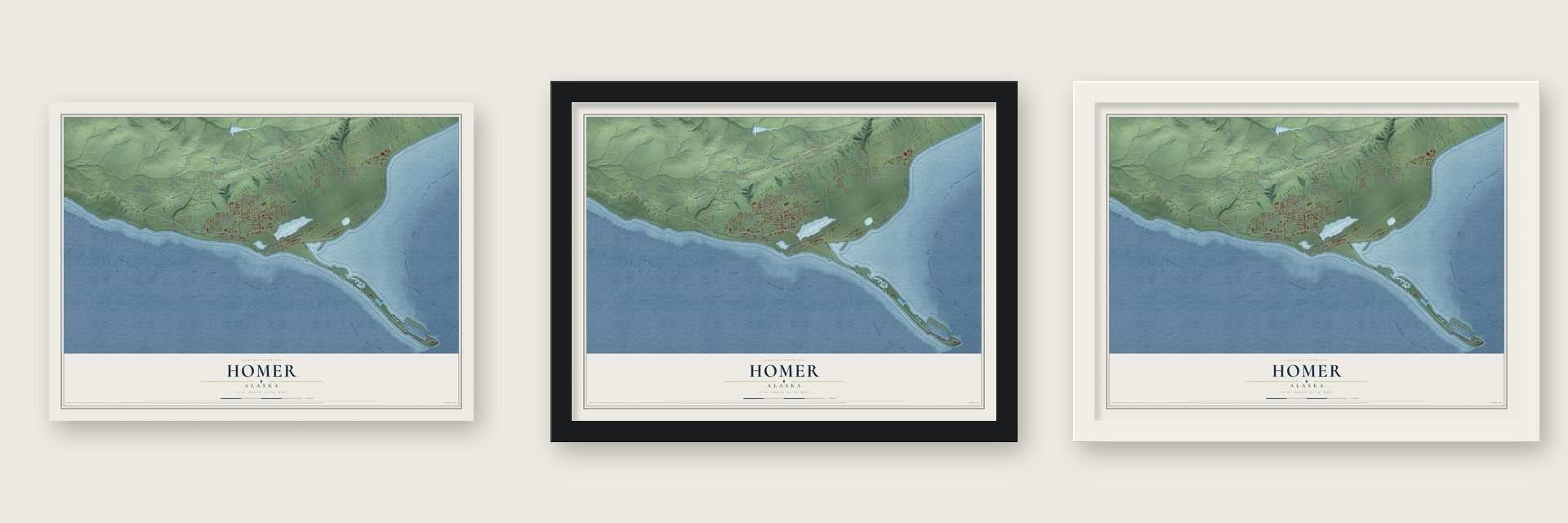
Unframed archival matte, a black wood frame or a white wood frame.
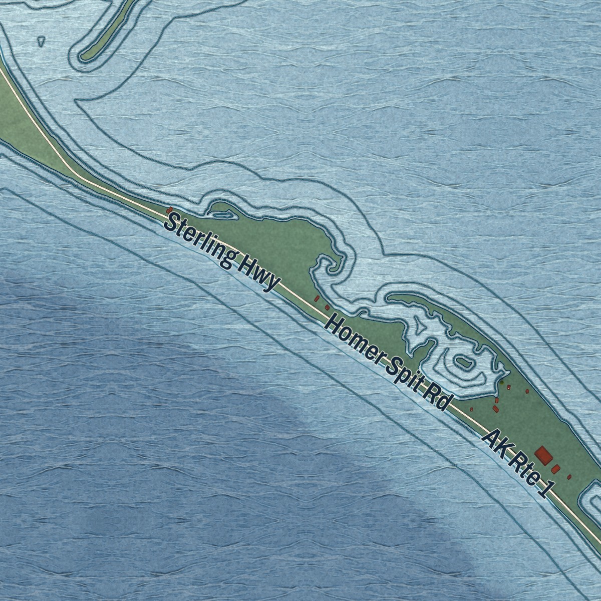
Up close
Geography Worth Displaying
This map was created using accurate cartographic data and authoritative geographic sources, including the U.S. Geological Survey and the Census Bureau. The map brings together terrain, waterways, roads, and building detail. The majority of the streets are labeled, houses are accurately depicted, and the topography is derived from government sources. Combining local data with carefully composed color and shading leads to this beautifully detailed Homer artwork for your wall.
Rather than simply showing street outlines, we’ve included as many of the street names as we could reasonably fit on the map while keeping their names legible. Zoom in on the high resolution preview to see exactly what’s on the map. We truly set out to create a statement piece for anyone who loves Homer. So whether it’s for you, or a gift for someone you love, we hope this map of Homer brings back fond memories.
Find your street
Names on the Homer map
Every name below is printed on this map. Look for your street, your school, the park where you played, or the pond down the road.
Places and landmarks1
- Kachemak City
Streets and roads126
- Ocean Drive
- Lake Street
- Homer Spit Road
- Sterling Highway
- AK Route 1
- Main Street
- Nelson Avenue
- East Pioneer Avenue
- Spencer Drive
- Skyline Drive
- East End Road
- Kachemak Drive
- East Hill Road
- West Hill Road
- Highland Drive
- Fireweed Avenue
- Rene Court
- Mission Road
- Sprucewood Drive
- Soundview Avenue
- West Fairview Avenue
- Ocean Drive Lp
- Outer Dock Road
- Rogers Loop
- Eagle View Drive
- Tundra Rose Road
- Ben Walters Lane
- Race Road
- Bartlett Street
- Mountain View Drive
Show all 126 streets
- Heath Street
- Eric Lane
- Mariner Drive
- Clearwater Drive
- Pennock Street
- Garden Park Drive
- Westwood Avenue
- Lee Drive
- Cozy Cove Drive
- Hillside Place
- Nedosik Road
- Eagle Place
- Mattox Road
- Scenic Place
- Saltwater Drive
- Ohlson Lane
- Reber Road
- Easy Street
- Alder Lane
- Hohe Street
- West Terrace Boulevard
- Early Spring Street
- Ternview Place
- Lampert Lane
- Adams Drive
- Crossman Ridge Road
- Freight Dock Road
- Whispering Meadows Avenue
- Forest Glen Drive
- Bayridge Road
- Jeffery Avenue
- Tulin Terrace Boulevard
- East Bayview Avenue
- South Slope Drive
- Spruce Lane
- Svedlund Street
- Spruceview Avenue
- Paradise Place
- Lincoln Drive
- Kestrel Lane
- Rochelle Road
- Golden Plover Avenue
- Emerald Road
- Hazel Avenue
- Clover Lane
- Meadow Drive
- Bonanza Avenue
- Kilokak Avenue
- Quinalt Avenue
- Alpine Way
- Hough Road
- Larkspur Court
- Robert Avenue
- Greatland Street
- Miller Lane
- Bay Vista Place
- Shelley Avenue
- Hopkins Way
- Bell Avenue
- Rainbow Court
- Glacier View Court
- Star Lane
- Hunter Street
- Dehel Avenue
- Moon Lane
- Felix Circle
- Anderson Street
- Lakeshore Drive
- Rangeview Avenue
- Crestwood Circle
- East Danview Avenue
- Coyote Way
- Scenic View Drive
- Tamara Street
- Willow Drive
- Waddell Street
- Fish Dock Road
- Jack Gist Lane
- Latham Lane
- Thomas Court
- Beluga Place
- Mount Augustine Drive
- Cottonwood Lane
- Little Fireweed Lane
- Jakes Little Fireweed Lane
- Horizon Court
- Paintbrush Street
- Linstrang Way
- Kramer Lane
- Don's Drive
- Aspen Lane
- Pogey Point Avenue
- Blue Sky Avenue
- Wythe Way
- Copalis Street
- Davis Street
Names are listed as they appear on the printed map. Zoom into the product photos to find them.
About Homer, Alaska
Homer is a city of 5,522 people in Kenai Peninsula Borough, set on Kachemak Bay at the southwest side of the Kenai Peninsula. People have lived in the area for around 8,000 years. Early Alutiiq people probably camped here, on the Homer Spit too, while their villages stood across the bay.
Coal turned up in the 1890s, and the Cook Inlet Coal Fields Company laid out a settlement at Homer with a dock, a mine and a railroad. Mining stayed the backbone of the local economy until World War II, and commercial fishing grew important in the early 1900s. Today halibut and salmon sport fishing, tourism and commercial fishing lead, and Homer has long been called the Halibut Fishing Capital of the World.
“After World War II, there was an influx of people to Homer intending to make a living homesteading and fishing. Churches organized, the Rural Electric Association brought electricity to the community in the 1940s, and in 1949 the Sterling Highway connected Homer with Seward.”
- Named for Homer PennockHomer Pennock, a promoter for a gold mining company, landed on the Homer Spit in 1896 and put up living quarters for a crew of 50 men and one woman. The gold never paid off here, but the town kept his first name.
- Horses on the SpitLocal historian Janet Klein writes that Charles Miller, an Alaska Railroad worker, took up a homestead nearby in about 1915. He kept the company's horses through the winter on the Spit's beach grasses and built a landing in a small bight of Kachemak Bay so barges hauling supplies from Seldovia could unload. Miller's Landing stood as a separate place until Homer annexed it in 2002, though locals always treated it as part of town.
- The Spit sank in 1964The Homer Spit, a narrow gravel bar 4.5 miles long that reaches into the bay and holds the Homer Harbor, dropped sharply in the Good Friday earthquake of March 1964, along with much of the coast. Afterward very little plant life could survive on it.
- Shorebirds every MayHomer residents started the Kachemak Bay Shorebird Festival in 1993 to teach people about shorebirds and the wetlands they live in. The festival comes at the start of May, as more than 13,000 birds of 25 species stop here on their spring migration, and it includes a bird call contest called Shorebirds Sing.
Keep exploring Alaska
Homer is one of 381 Alaska towns we've mapped. Every dot on the map is a print of its own.
The search covers every state, Alaska first.
Near Homer
Order 2 or more town maps and save 10%. Shown in the size and finish you picked above, so they hang as a set.
- Kachemak 12" x 18" / Archival Matte Print $39.99
- Diamond Ridge 12" x 18" / Archival Matte Print $39.99
- Anchor Point 12" x 18" / Archival Matte Print $39.99
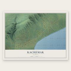
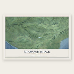
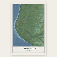
More maps nearby: Halibut Cove, Fritz Creek, Seldovia Village, Nikolaevsk and Seldovia.
The art of mapping a place
How This Map Was Made
Real places. Remarkable detail. Discover the layers that turn geographic data into a map of home.

The view from above
Aerial imagery reveals the character of the land: woodland, open fields, and the patterns of a place.

The shape of the land
Elevation data brings hills, valleys, and subtle changes in the landscape into view.

The details of home
Roads, waterways, and building footprints come together to make the map feel unmistakably local.

Geography becomes art
Considered color, shading, and typography bring the layers together in a map made for your wall.


Process illustrated with Mendon, Massachusetts. Aerial imagery: USDA NAIP. Terrain: USGS 3D Elevation Program. Map details and finished artwork: KNOWOL.
The Details
About This Print
Choose an archival matte print, or a black or white Ayous wood frame. The archival matte print is unframed.
Select your size and finish above to see the matching product image and price.
Materials & Craftsmanship
A contemporary map with the character of a classic atlas, printed on archival matte paper. Optional frames are made from Ayous wood.
Your printed map does not include the watermark shown in the full-map preview.
Shipping & Delivery
Free shipping within the United States. Every print is made to order in the USA.
Buying a gift? Add a note in your cart and we'll include it. We never put prices in the package.
Prints ship within 2 to 3 business days. Allow 7 to 10 days total from ordering for delivery. Timing may vary during holidays or periods of high order volume.
Read our shipping policy.
Returns and damaged prints
Each print is made to order. Change-of-mind refunds are not available after production.
If your print arrives damaged, misprinted or incorrect, contact support@knowol.com within 30 days of receiving it. Include your order number, photos and a description of the issue.
Read our full refund and replacement policy. For questions about your order, email support@knowol.com.