
Search for another town


Free U.S. delivery 7 to 10 days after you order
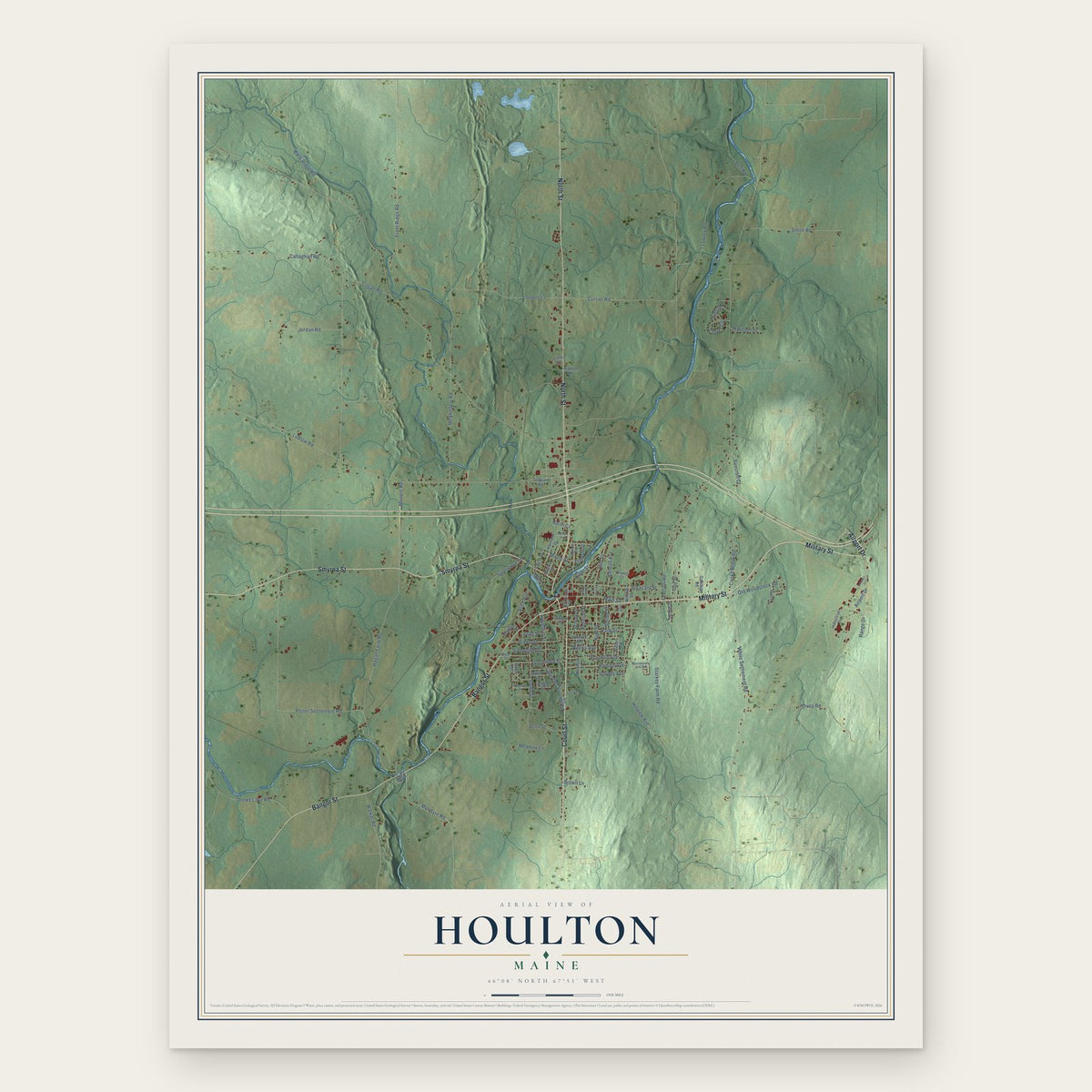
Houlton, Maine Map Art
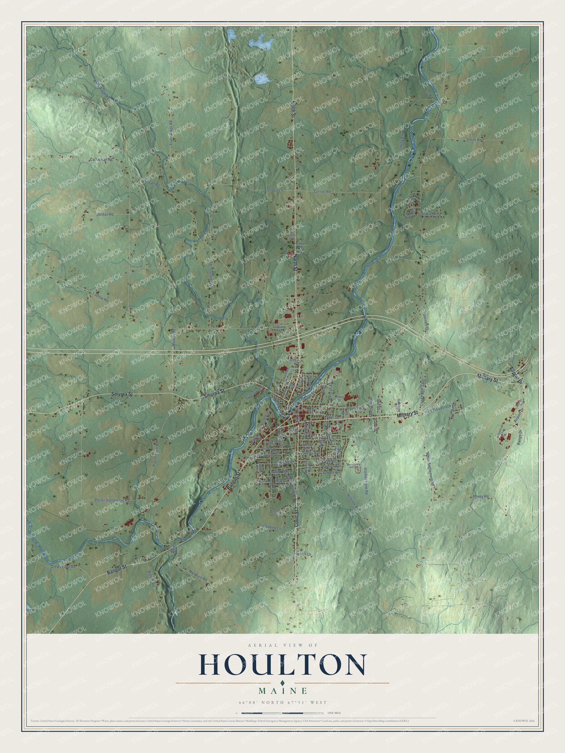
Building by building, with labeled streets and shaded relief.
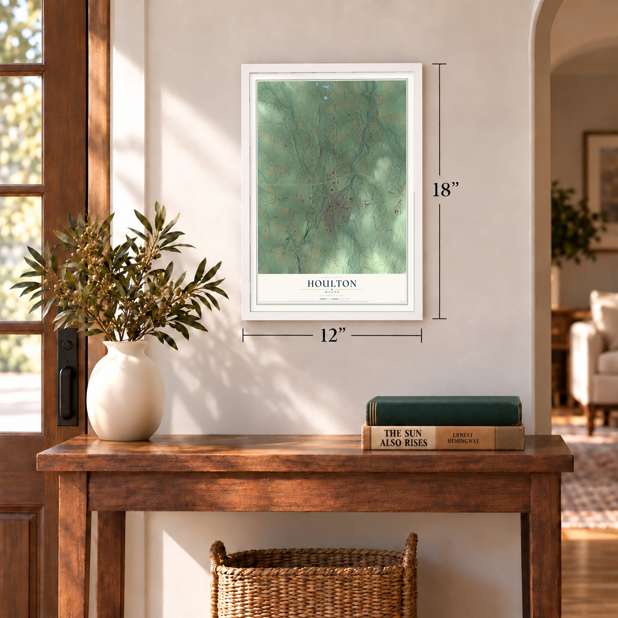
12" x 18" Archival Matte Print
A Map of Home. A Work of Art.
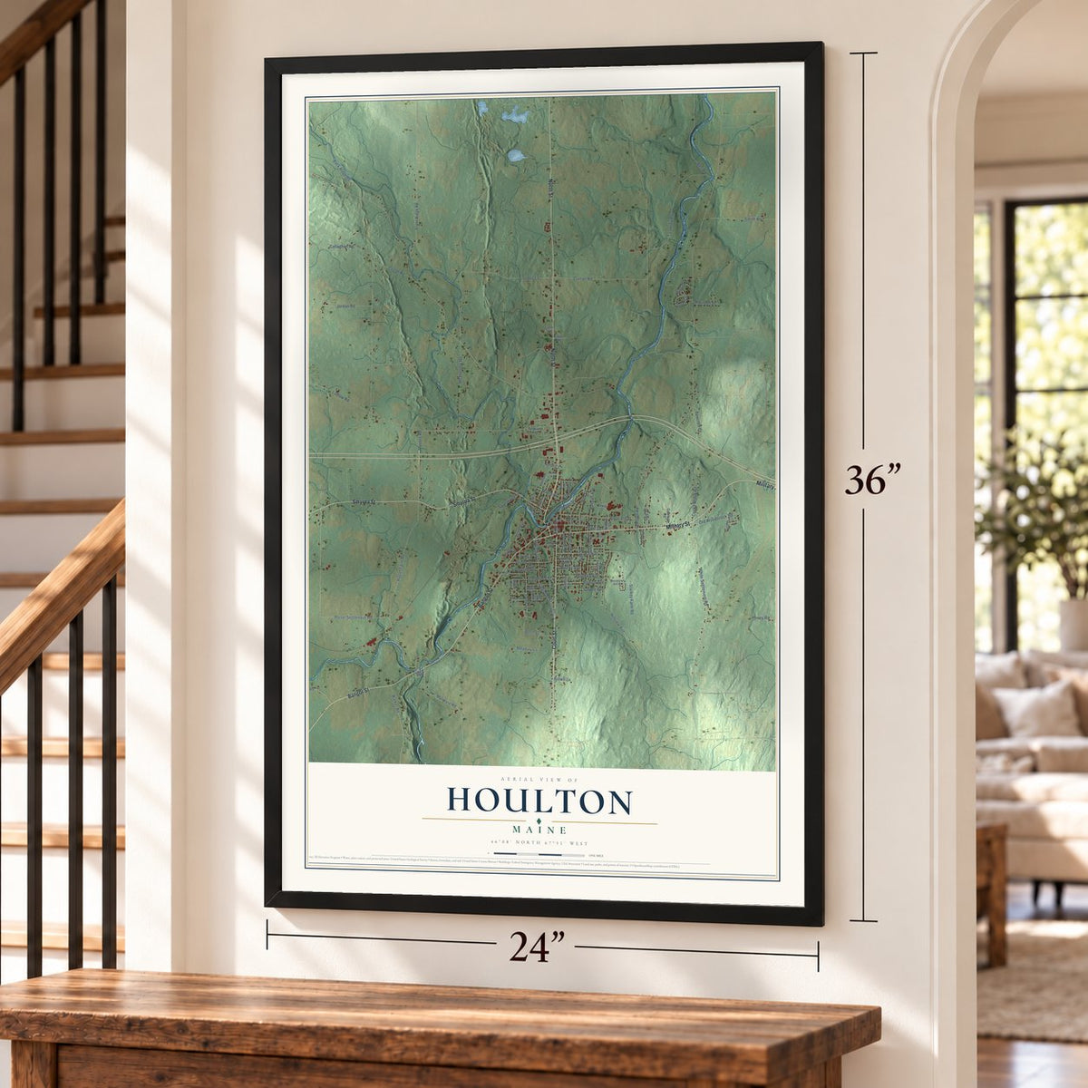
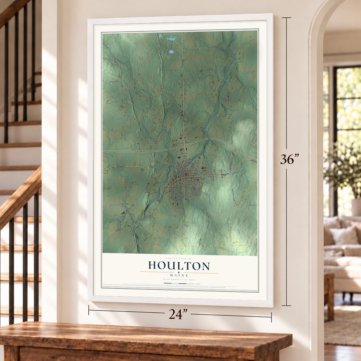
Explore Houlton, Maine from a whole new perspective. Created using aerial imagery and detailed geographic data, this map captures Houlton building by building, with labeled streets, familiar landmarks, and shaded topographical relief that highlights the natural contours of the landscape.
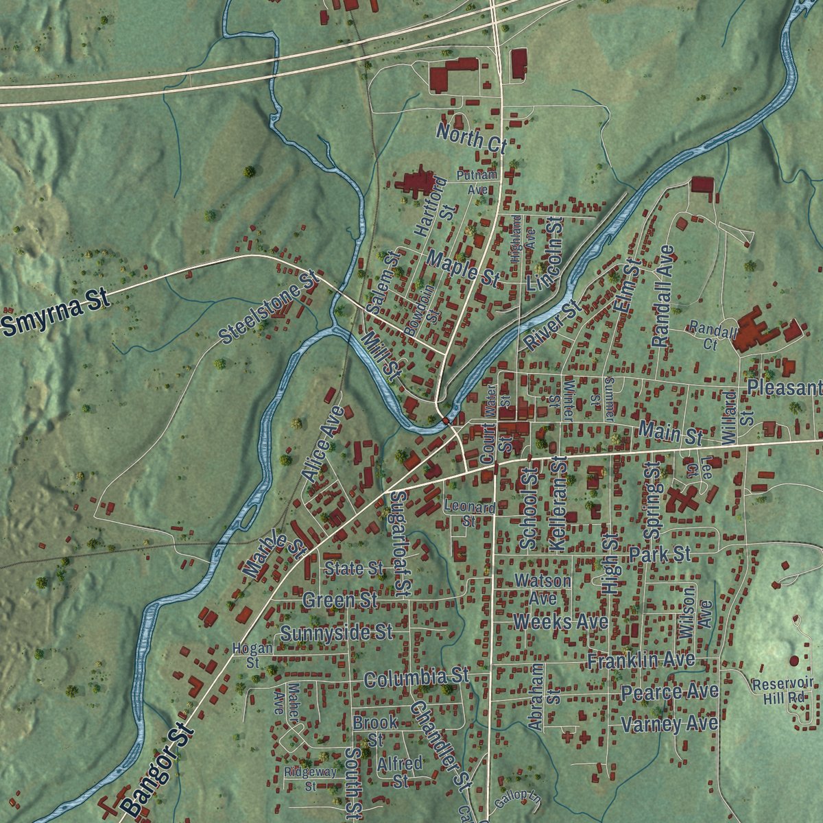
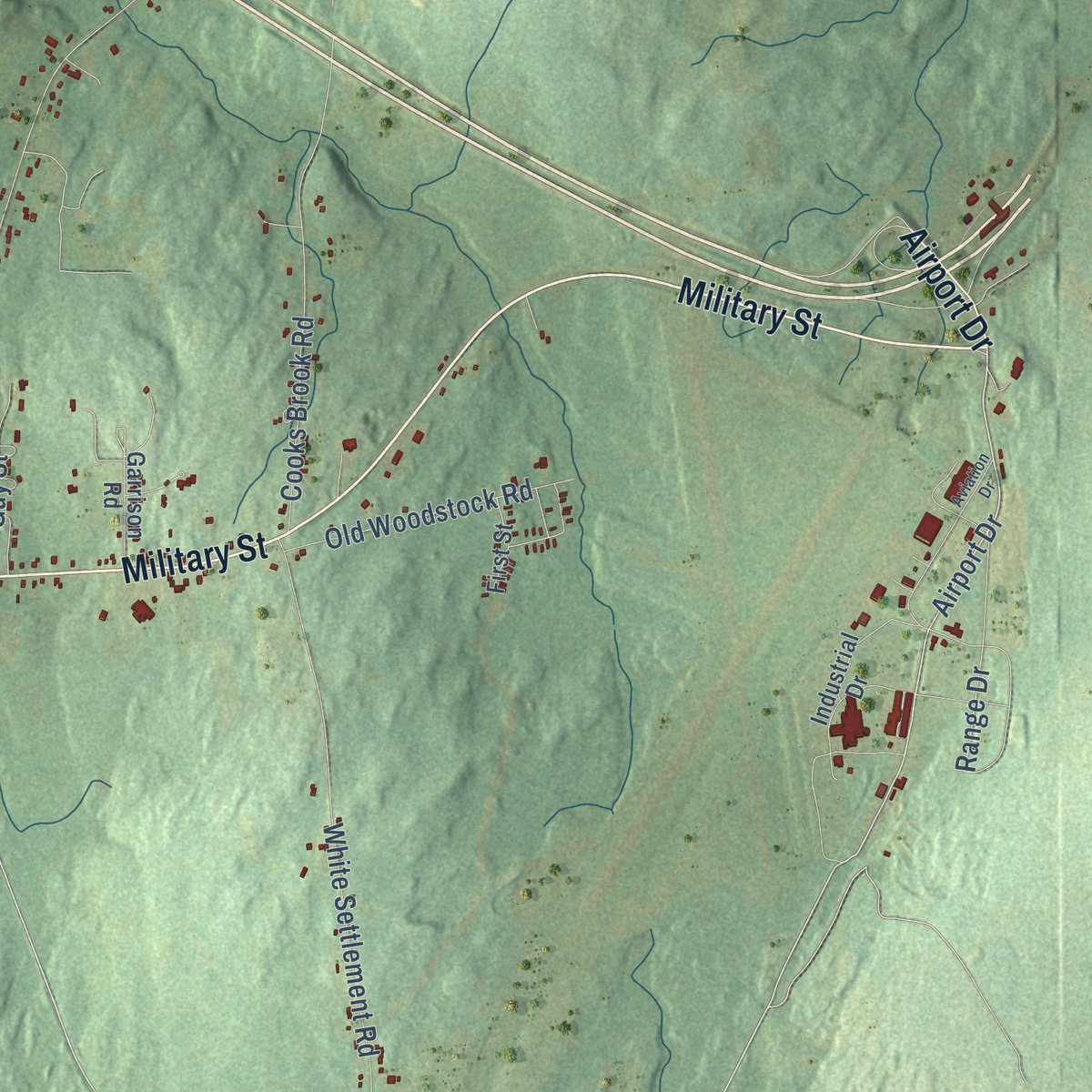
Combining modern data with the timeless character of a vintage atlas, this map is just as interesting up close as it is beautiful on the wall. Whether you grew up in Houlton, spent memorable years there, or call it home today, this unique map is a great way to celebrate a place that means something to you. Zoom in on the preview to look for your street, and then order a print to put your memories on the wall.
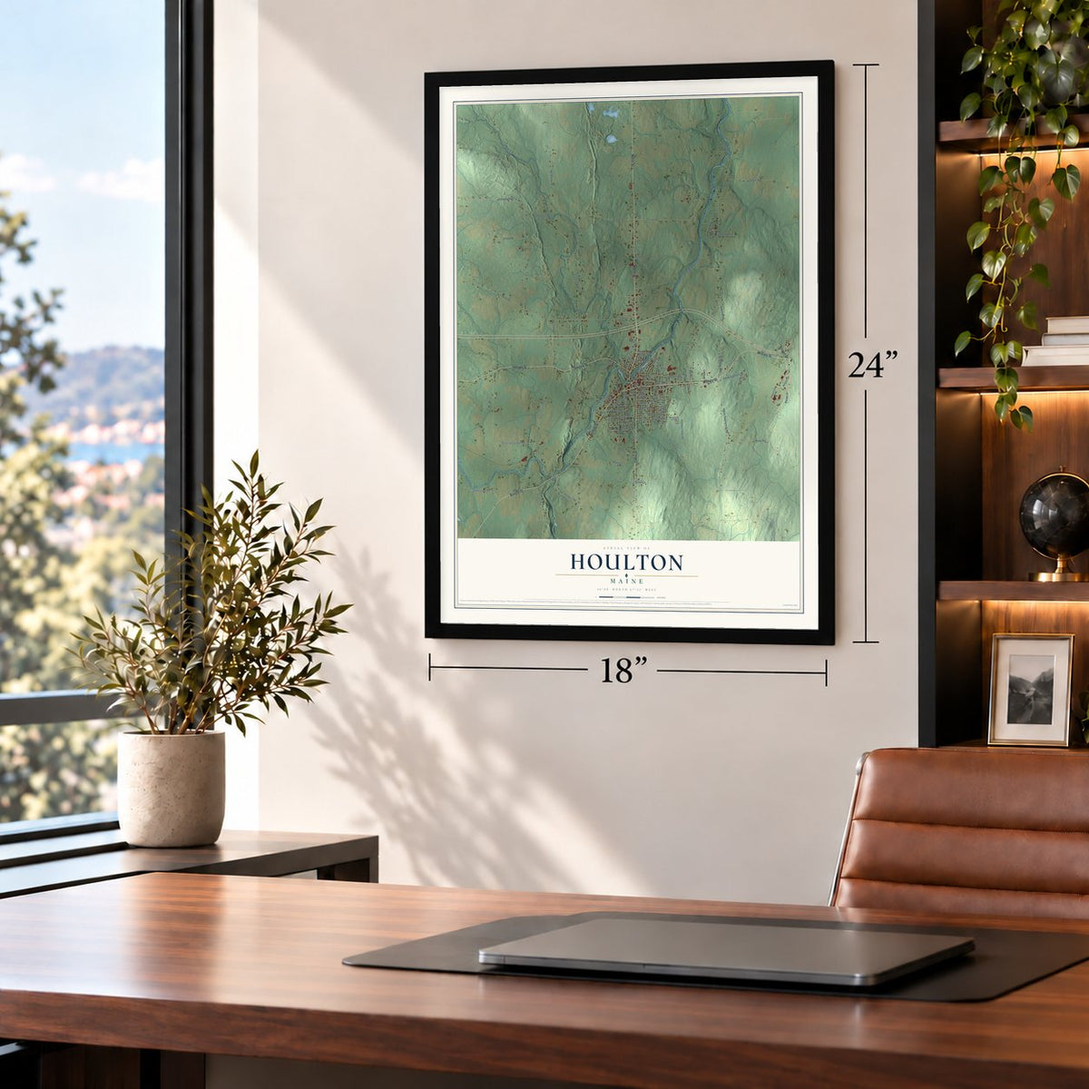
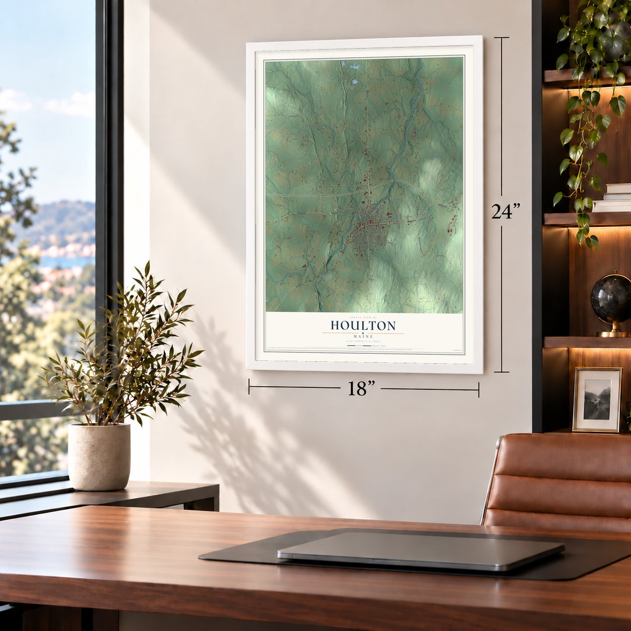
Three ways to hang it
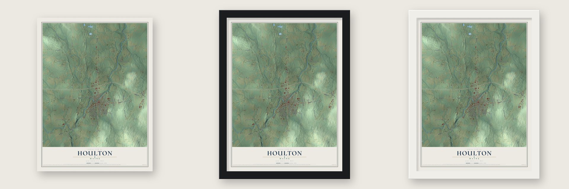
Unframed archival matte, a black wood frame or a white wood frame.
Up close
Geography Worth Displaying
This map was created using accurate cartographic data and authoritative geographic sources, including the U.S. Geological Survey (USGS) and FEMA. The map brings together terrain, waterways, roads, and building detail. The majority of the streets are labeled, houses are accurately depicted, and the topography is derived from government sources. Combining local data with carefully composed color and shading leads to this beautifully detailed Houlton artwork for your wall.
Rather than simply showing street outlines, we’ve included as many of the street names as we could reasonably fit on the map while keeping their names legible. Zoom in on the high resolution preview to see exactly what’s on the map. We truly set out to create a statement piece for anyone who loves Houlton. So whether it’s for you, or a gift for someone you love, we hope this map of Houlton brings back fond memories.
Explore the full map of Houlton, Maine and read about the local places it shows.

Find your street
Names on the Houlton map
Every name below is printed on this map. Look for your street, your school, the park where you played, or the pond down the road.
Streets and roads100
- Military Street
- North Street
- Court Street
- Bangor Street
- Smyrna Street
- Airport Drive
- Ludlow Road
- Main Street
- Pleasant Street
- Maple Street
- Range Drive
- Hagan Farm Road
- London Lane
- Foxcroft Road
- McSheffery Road
- Callaghan Road
- Porter Settlement Road
- Currier Road
- Hillview Avenue
- White Settlement Road
- Lowrey Road
- Starkey Farm Road
- Jordan Road
- Hovey Road
- Front Ridge Road
- Steelstone Street
- Smith Road
- Cooks Brook Road
- Mooers Road
- High Street
Show all 100 streets
- Drews Lake Road
- McIntyre Road
- Mill Street
- South Street
- Park Street
- Back Ridge Road
- Green Street
- Pearce Avenue
- Franklin Avenue
- Old Woodstock Road
- Elm Street
- Benn Street
- Columbia Street
- Meadow Lane
- Randall Avenue
- Chandler Street
- Cogan Road
- River Street
- Clover Circle
- Alice Avenue
- Cary Street
- Foxcroft Court
- Sunnyside Street
- Bell Road
- Guy Street
- Maliseet Drive
- Walker Road
- Kelleran Street
- Weeks Avenue
- Pine Drive
- Varney Avenue
- Sugarloaf Street
- Spring Street
- School Street
- Brown Lane
- Lincoln Street
- Marble Street
- North Court
- Willard Street
- Industrial Drive
- Brook Street
- Alfred Street
- Hartford Street
- Garrison Road
- State Street
- Watson Avenue
- First Street
- Wilson Avenue
- Abraham Street
- Salem Street
- Stewart Road
- Hidden Road
- Slipp Road
- Little Lane
- Reservoir Hill Road
- Bowdoin Street
- Old Calais Road
- Hogan Street
- Leonard Street
- Randall Court
- Maher Avenue
- Winter Street
- Lee Court
- Water Street
- Aviation Drive
- Highland Avenue
- Gallop Lane
- Ridgeway Street
- Putnam Avenue
- Summer Street
Names are listed as they appear on the printed map. Zoom into the product photos to find them.
About Houlton, Maine
Houlton is a town of 6,055 people and the county seat of Aroostook County, on the border with New Brunswick. Wolastoqiyik people lived here long before Massachusetts, which then governed Maine, deeded the land to the Academy of New Salem. Thirteen New Salem men bought it from the academy, but only three of them moved here. Aaron Putnam and Joseph Houlton started the village, and it took the name of Houlton, who came north in 1807.
In 1828 the federal government built a military post here called Hancock Barracks, and in 1831 Houlton became an incorporated town. Maine sent twelve militia companies to Houlton in 1839, when the Aroostook War broke out over the Canadian boundary. Major R. M. Kirby, commanding three artillery companies at the barracks, helped keep them from starting a shooting war. In 1842 the Webster-Ashburton Treaty settled the dispute, and the Army left the barracks in 1847.
- Listening in on GermanyDuring World War I, 1.5 miles east of the town center, the Army built its first station for gathering radio intelligence from across the Atlantic. It picked up German diplomatic messages, mostly sent from the Nauen transmitter. The station worked so well that it became the model for many more long-range American listening posts.
- Calls from London in 1927On January 7, 1927, AT&T opened the first commercial telephone service across the Atlantic, between New York and London, and the receiving station stood at the end of Hand Lane, two miles west of town. Its antenna ran over three miles long and two miles wide, catching the signal from the Rugby station in England. Rugby shut down in 2007, and the housing built on its site was named Houlton in honor of the link.
- Planes towed into CanadaThe Army opened Houlton Army Air Base beside the border in 1941. Before the United States entered World War II, pilots could not fly the planes into Canada without breaking American neutrality, so farmers hitched them to their tractors and pulled them across the line. The Canadians closed the Woodstock highway and used it as a runway.
- Prisoners in the potato fieldsIn 1944 the Army turned much of the air base into Camp Houlton, which held as many as 3,700 German prisoners of war. Volunteers among them harvested peas and picked potatoes on local farms for $1 a day in scrip, and many farmers came to see them as good workers. The camp closed in 1946, and the site became Houlton International Airport.
- Last stop for the 2024 eclipseWhen the sun went dark on April 8, 2024, no place in the country farther east saw totality than Houlton. Planning for a three-day festival took the town two years, and 20,000 or more people came, over three times its population. A banner declared "The End is Here," and the masonic bust of George Washington wore giant eclipse glasses.
Keep exploring Maine
Houlton is one of 536 Maine towns we've mapped. Every dot on the map is a print of its own.
The search covers every state, Maine first.
Near Houlton
Order 2 or more town maps and save 10%. Shown in the size and finish you picked above, so they hang as a set.
- Ludlow 12" x 18" / Archival Matte Print $39.99
- Hodgdon 12" x 18" / Archival Matte Print $39.99
- New Limerick 12" x 18" / Archival Matte Print $39.99

More maps nearby: Littleton, Hammond, Linneus, Smyrna and Monticello.
The art of mapping a place
How This Map Was Made
Real places. Remarkable detail. Discover the layers that turn geographic data into a map of home.

The view from above
Aerial imagery reveals the character of the land: woodland, open fields, and the patterns of a place.

The shape of the land
Elevation data brings hills, valleys, and subtle changes in the landscape into view.

The details of home
Roads, waterways, and building footprints come together to make the map feel unmistakably local.

Geography becomes art
Considered color, shading, and typography bring the layers together in a map made for your wall.


Process illustrated with Mendon, Massachusetts. Aerial imagery: USDA NAIP. Terrain: USGS 3D Elevation Program. Map details and finished artwork: KNOWOL.
The Details
About This Print
Choose an archival matte print, or a black or white Ayous wood frame. The archival matte print is unframed.
Select your size and finish above to see the matching product image and price.
Materials & Craftsmanship
A contemporary map with the character of a classic atlas, printed on archival matte paper. Optional frames are made from Ayous wood.
Your printed map does not include the watermark shown in the full-map preview.
Shipping & Delivery
Free shipping within the United States. Every print is made to order in the USA.
Buying a gift? Add a note in your cart and we'll include it. We never put prices in the package.
Prints ship within 2 to 3 business days. Allow 7 to 10 days total from ordering for delivery. Timing may vary during holidays or periods of high order volume.
Read our shipping policy.
Returns and damaged prints
Each print is made to order. Change-of-mind refunds are not available after production.
If your print arrives damaged, misprinted or incorrect, contact support@knowol.com within 30 days of receiving it. Include your order number, photos and a description of the issue.
Read our full refund and replacement policy. For questions about your order, email support@knowol.com.