
Search for another town



Free U.S. delivery 7 to 10 days after you order
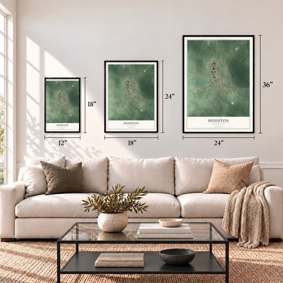
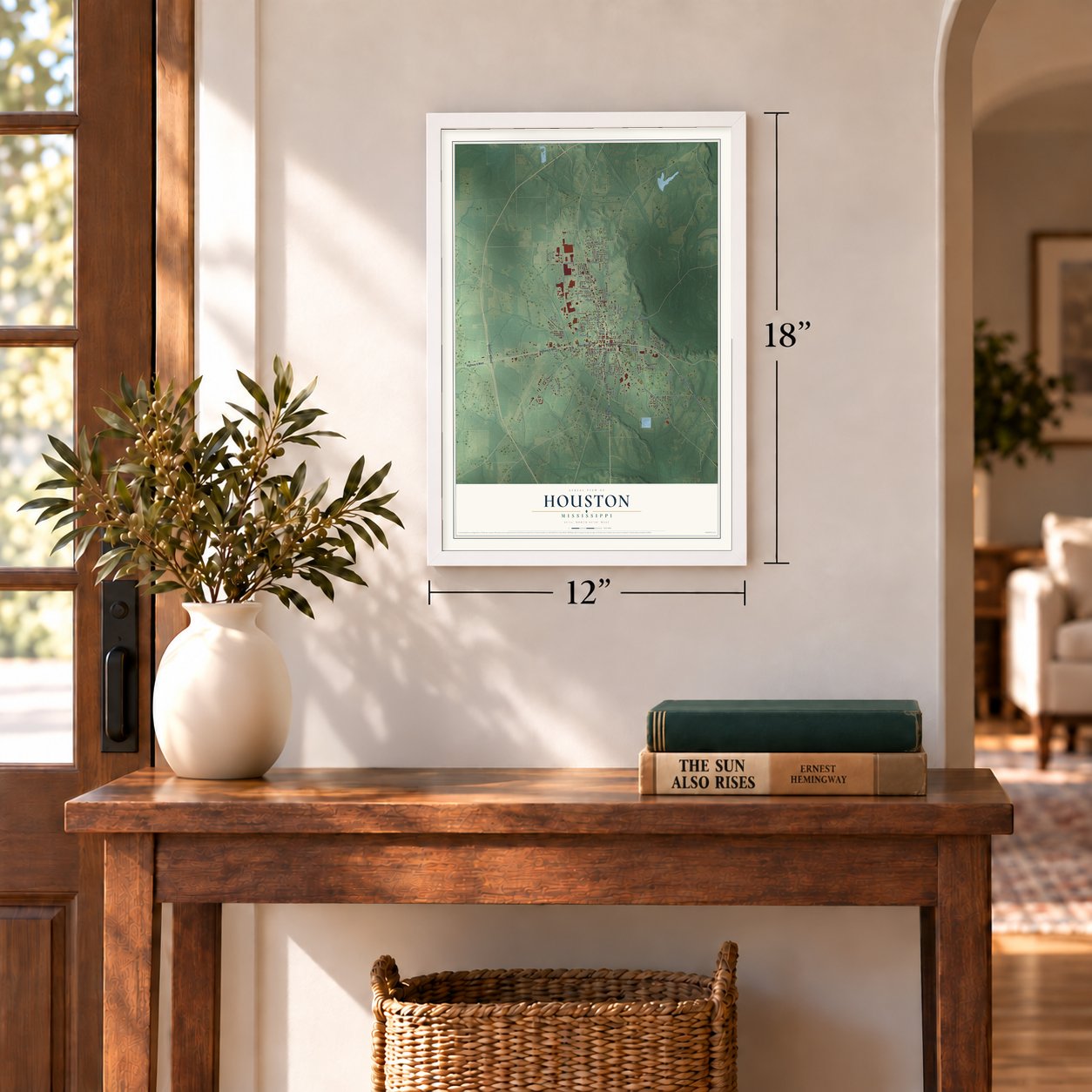
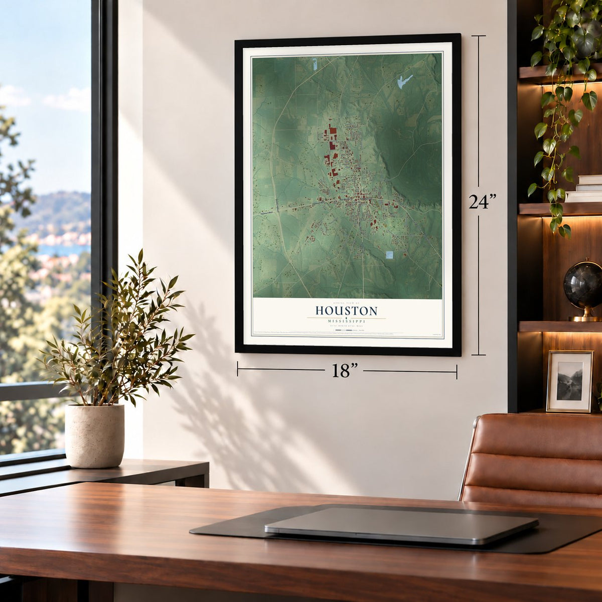
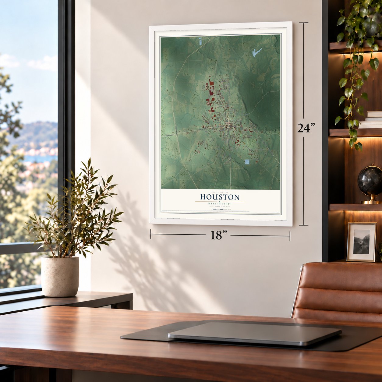
Houston, Mississippi Map Art
A new map of Houston, Mississippi, made in 2026 and printed to order on thick archival matte paper.
12" x 18" Archival Matte Print
A Map of Home. A Work of Art.
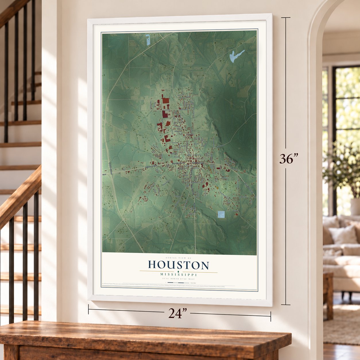
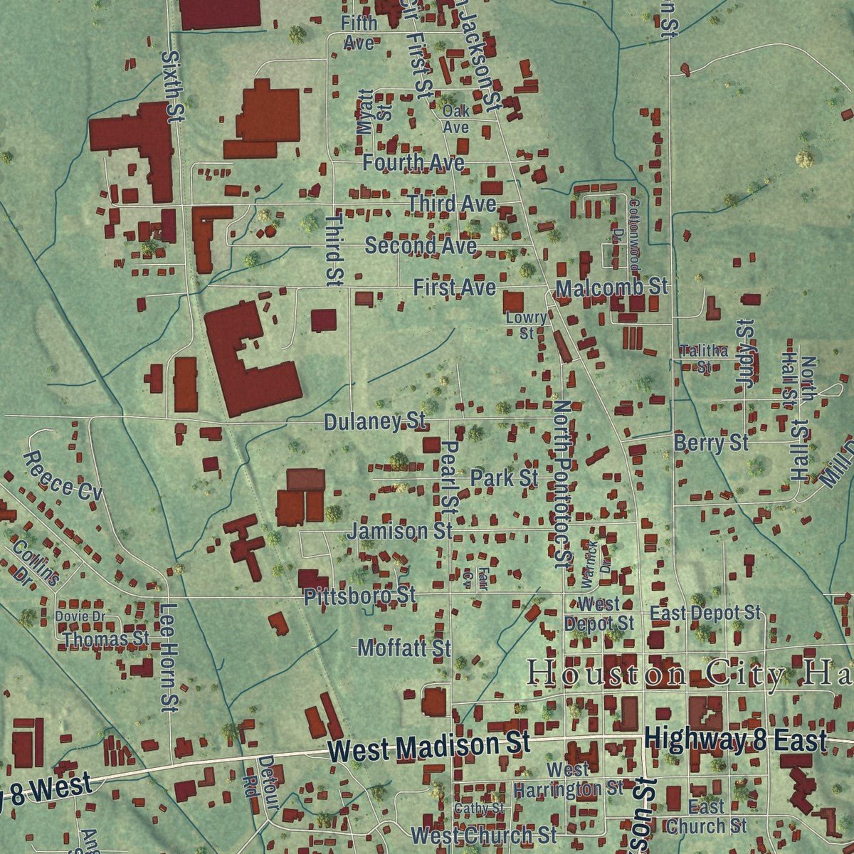
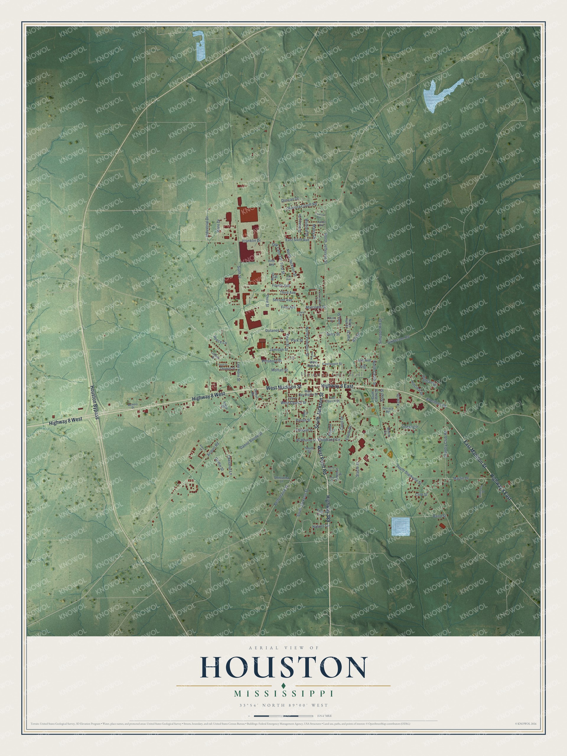
Explore Houston, Mississippi from a whole new perspective. Created using aerial imagery and detailed geographic data, this map captures Houston building by building, with labeled streets, familiar landmarks, and shaded topographical relief that highlights the natural contours of the landscape.
Combining modern data with the timeless character of a vintage atlas, this map is just as interesting up close as it is beautiful on the wall. Whether you grew up in Houston, spent memorable years there, or call it home today, this unique map is a great way to celebrate a place that means something to you. Zoom in on the preview to look for your street, and then order a print to put your memories on the wall.
Three ways to hang it
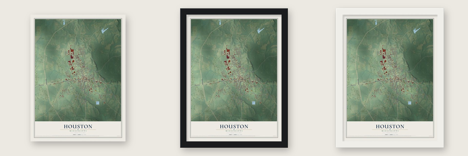
Unframed archival matte, a black wood frame or a white wood frame.
Up close
Geography Worth Displaying
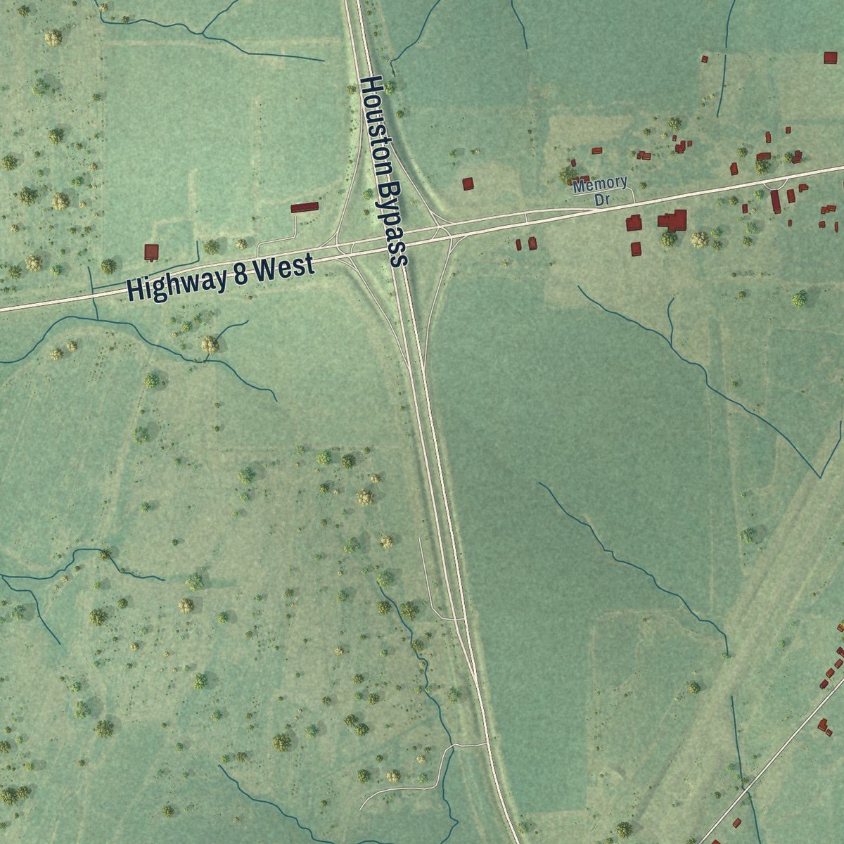
This map was created using accurate cartographic data and authoritative geographic sources, including the U.S. Geological Survey and the Census Bureau. The map brings together terrain, waterways, roads, and building detail. The majority of the streets are labeled, houses are accurately depicted, and the topography is derived from government sources. Combining local data with carefully composed color and shading leads to this beautifully detailed Houston artwork for your wall.
Rather than simply showing street outlines, we’ve included as many of the street names as we could reasonably fit on the map while keeping their names legible. Zoom in on the high resolution preview to see exactly what’s on the map. We truly set out to create a statement piece for anyone who loves Houston. So whether it’s for you, or a gift for someone you love, we hope this map of Houston brings back fond memories.
Read the story behind this map of Houston, Mississippi from 2026.

About Houston, Mississippi
Houston is a city of 3,797 people in north-central Mississippi, and it shares the job of Chickasaw County seat with Okolona. The county was created on February 9, 1836, and Judge Joel Pinson offered to give land for its seat. His offer was accepted on July 8, 1836, and he named the new town for his childhood friend Sam Houston, the general who led Texas in its war for independence.
Work on a brick courthouse on the town square and a jail a block to the north started that same year. Houston was incorporated on May 9, 1837, a month ahead of the Texas city that shares its name, which was incorporated on June 5, 1837, and it got its first post office that December. After the Mobile and Ohio Railroad was built through the county in 1859, most of the county's trade moved from Houston to Okolona. Poor roads made the trip to court hard, so in 1866 the state gave Okolona a second court district while Houston kept its own, leaving the county with two seats.
- Records burned in 1863On April 21, 1863, during the Civil War, county officers loaded Chickasaw County's records into a wagon to carry them out of Houston for safekeeping. A squad of Union soldiers stopped them and set the papers on fire, and nearly all of the county's records were lost.
- Mississippi's first Carnegie libraryL. B. Reid, the local school superintendent, asked Andrew Carnegie for a public library, and Carnegie's matching program approved the request. The library built in Houston in 1909 was the first Carnegie library in the state, and the Houston Carnegie Library joined the National Register in 1978.
- Growing fast by 1906A 1906 county history found Houston booming. Sawmills, planing mills, handle factories, stave mills, a spoke factory, a cotton compress and a cotton gin kept people working, and the town ran its own electric lights and water works.
- Two banks and a newspaperThe Bank of Houston and a branch of the Okolona Banking Co. opened in the fall of 1903, and H. Richard Smith started the weekly Houston Post in 1904. From 1903 to 1906, assessed property value in the town rose from $93,000 to $400,000.
- A solar car record in 2015Houston High School's solar race team won the Open Division of the national Solar Car Challenge 14 years running and took its 15th straight title in 2018. In October 2015 its car, Sundancer, won the Adventure Class at Australia's World Solar Challenge, the first high school car to finish and win it, and set a race record of 252 miles in one day. In 2017 Sundancer appeared in the IMAX film Dream Big and at the Smithsonian.
Find your street
Names on the Houston map
Every name below is printed on this map. Look for your street, your school, the park where you played, or the pond down the road.
Places and landmarks1
- Houston City Hall
Streets and roads106
- Highway 8 West
- Highway 389
- West Point Road
- South Jackson Street
- Highway 8 East
- East Madison Street
- West Madison Street
- Houston Bypass
- Airport Road
- West Church Street
- South Starkville Street
- North Castle Street
- Industrial Drive
- Highland Drive
- Pittsboro Street
- North Pontotoc Street
- North Jackson Street
- North Jefferson Street
- Belfontaine Street
- Woodland Circle
- Dulaney Street
- Aberdeen Road
- Stacie Street
- Okolona Cutoff Road
- Martin Drive
- Franklin Drive
- Sixth Street
- Daniel Boone Street
- Third Street
- Lee Horn Street
Show all 106 streets
- Country Club Road
- Duncan Drive
- First Avenue
- Third Avenue
- Jamison Street
- Umberson Road
- Second Avenue
- Hall Street
- Nabors Circle
- Pearl Street
- First Street
- Chestnut Lane
- Scott Street
- Kyle Drive
- Oak Lane Circle
- Gladney Drive
- Fourth Avenue
- Baird Street
- Parish Street
- East Sixth Avenue
- Park Street
- Simpson Hill Drive
- Griffin Street
- Carol Drive
- Wofford Drive
- Clint Street
- Tindall Circle
- Hillcrest Drive
- Ware Drive
- Reece Cv
- Hill Avenue
- Berry Street
- Mill Drive
- Judy Street
- Malcomb Street
- Moffatt Street
- Evans Drive
- Mabry Drive
- McWhorter Street
- East Church Street
- East Depot Street
- Fifth Avenue
- Shintacha Lane
- Meadow Lane
- Thomas Street
- West Harrington Street
- Angie Street
- Chenault Street
- Collins Drive
- South Castle Street
- Hill Street
- Freeman Street
- King Cv
- Terrace Road
- West Depot Street
- Morris Circle
- Myatt Street
- South Street
- Detour Road
- North Hall Street
- Armstrong Drive
- Parker Avenue
- Memory Drive
- Talitha Street
- Davis Street
- Oak Avenue
- Lowry Street
- Cottonwood Drive
- Dovie Drive
- Merry Drive
- Warnick Drive
- Airport Street
- Crawford Avenue
- Cathy Street
- Seay Drive
- Farr Cv
Names are listed as they appear on the printed map. Zoom into the product photos to find them.
The art of mapping a place
How This Map Was Made
Real places. Remarkable detail. Discover the layers that turn geographic data into a map of home.

The view from above
Aerial imagery reveals the character of the land: woodland, open fields, and the patterns of a place.

The shape of the land
Elevation data brings hills, valleys, and subtle changes in the landscape into view.

The details of home
Roads, waterways, and building footprints come together to make the map feel unmistakably local.

Geography becomes art
Considered color, shading, and typography bring the layers together in a map made for your wall.


Process illustrated with Mendon, Massachusetts. Aerial imagery: USDA NAIP. Terrain: USGS 3D Elevation Program. Map details and finished artwork: KNOWOL.
The Details
About This Print
Choose an archival matte print, or a black or white Ayous wood frame. The archival matte print is unframed.
Select your size and finish above to see the matching product image and price.
Materials & Craftsmanship
A contemporary map with the character of a classic atlas, printed on archival matte paper. Optional frames are made from Ayous wood.
Your printed map does not include the watermark shown in the full-map preview.
Shipping & Delivery
Free shipping within the United States. Every print is made to order in the USA.
Buying a gift? Add a note in your cart and we'll include it. We never put prices in the package.
Prints ship within 2 to 3 business days. Allow 7 to 10 days total from ordering for delivery. Timing may vary during holidays or periods of high order volume.
Read our shipping policy.
Returns and damaged prints
Each print is made to order. Change-of-mind refunds are not available after production.
If your print arrives damaged, misprinted or incorrect, contact support@knowol.com within 30 days of receiving it. Include your order number, photos and a description of the issue.
Read our full refund and replacement policy. For questions about your order, email support@knowol.com.
Find your town
Looking for another city?
Find a map of home in our Mississippi collection, or any town in the country.
Nearby
Maps of towns near Houston
Know someone from one of these towns? Their map makes a great gift.
 Woodland
, Mississippi
From $39.99See the map
 Van Vleet
, Mississippi
From $39.99See the map
 New Houlka
, Mississippi
From $39.99See the map
More maps nearby: Vardaman, Mantee, Okolona, Derma and Calhoun City.