
Search for another town
Free U.S. delivery 7 to 10 days after you order
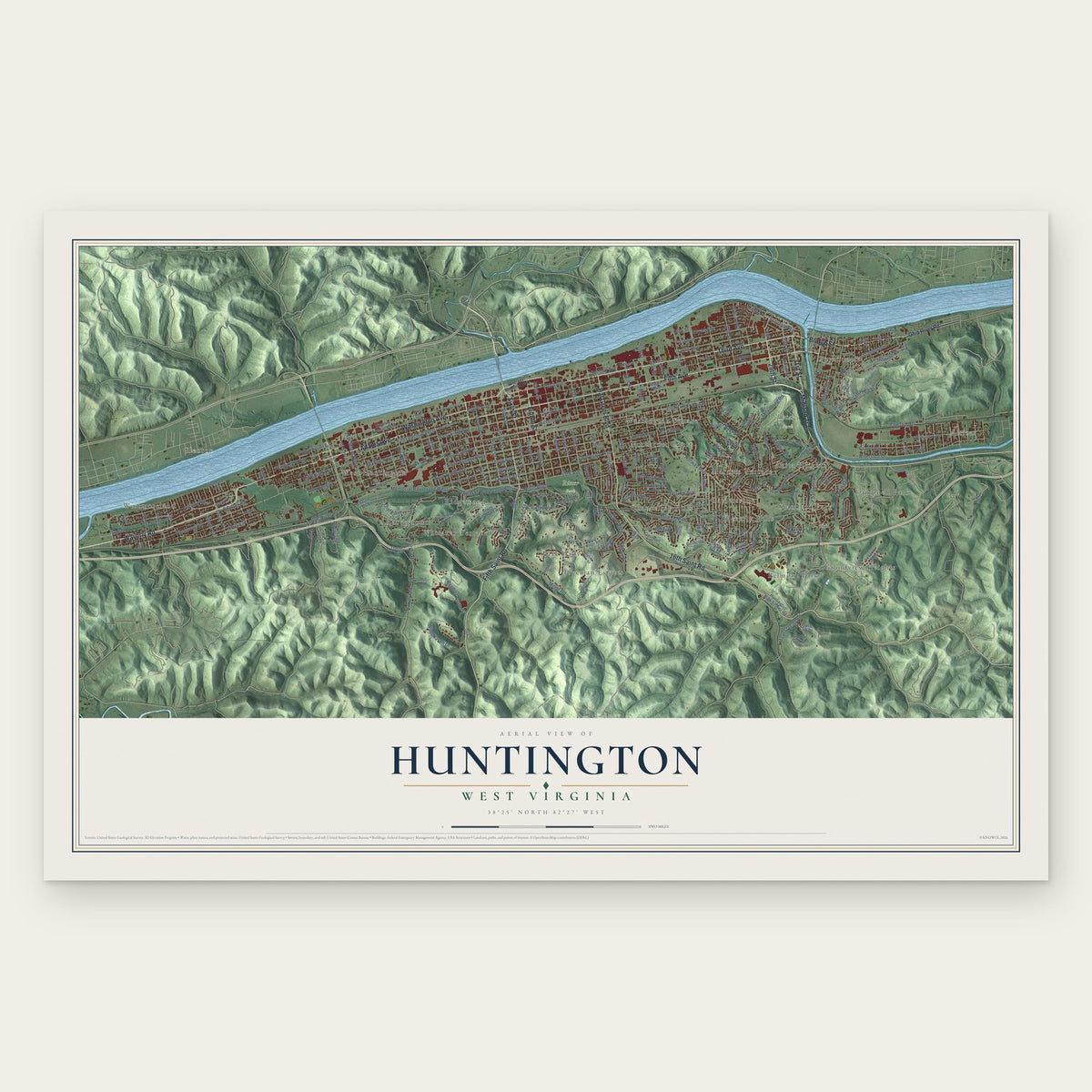
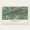
Huntington, West Virginia Map Art
Building by building, with labeled streets and shaded relief.
12" x 18" Archival Matte Print
A Map of Home. A Work of Art.
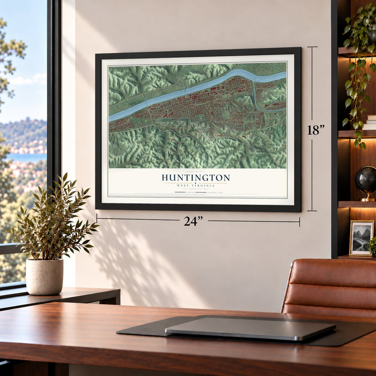
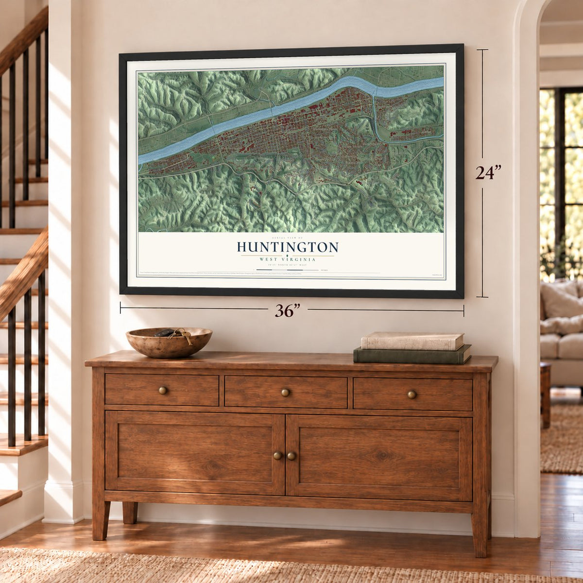
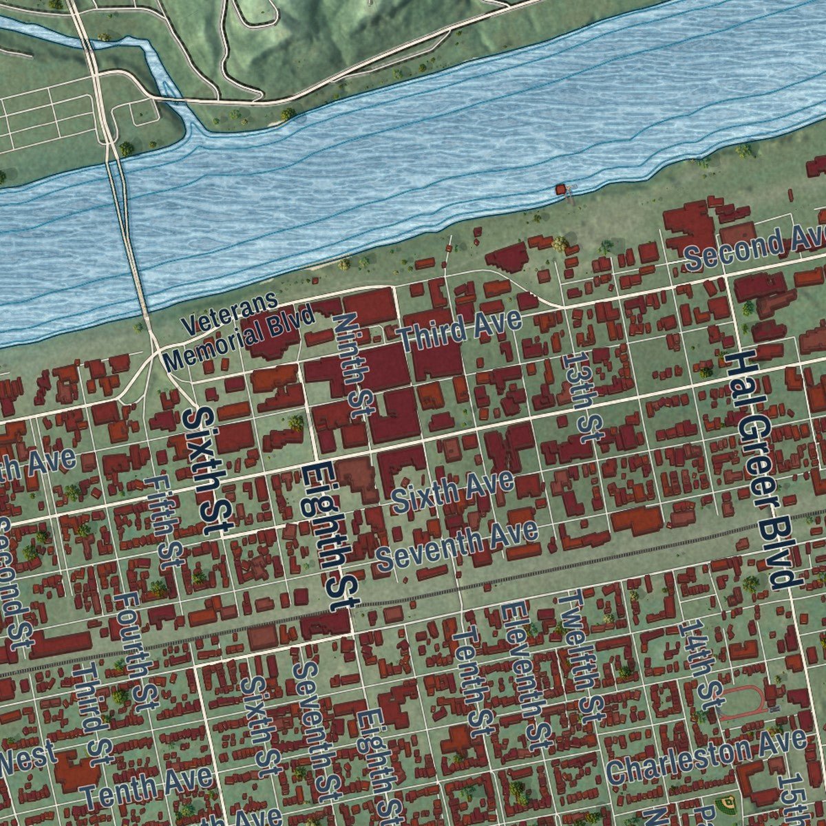
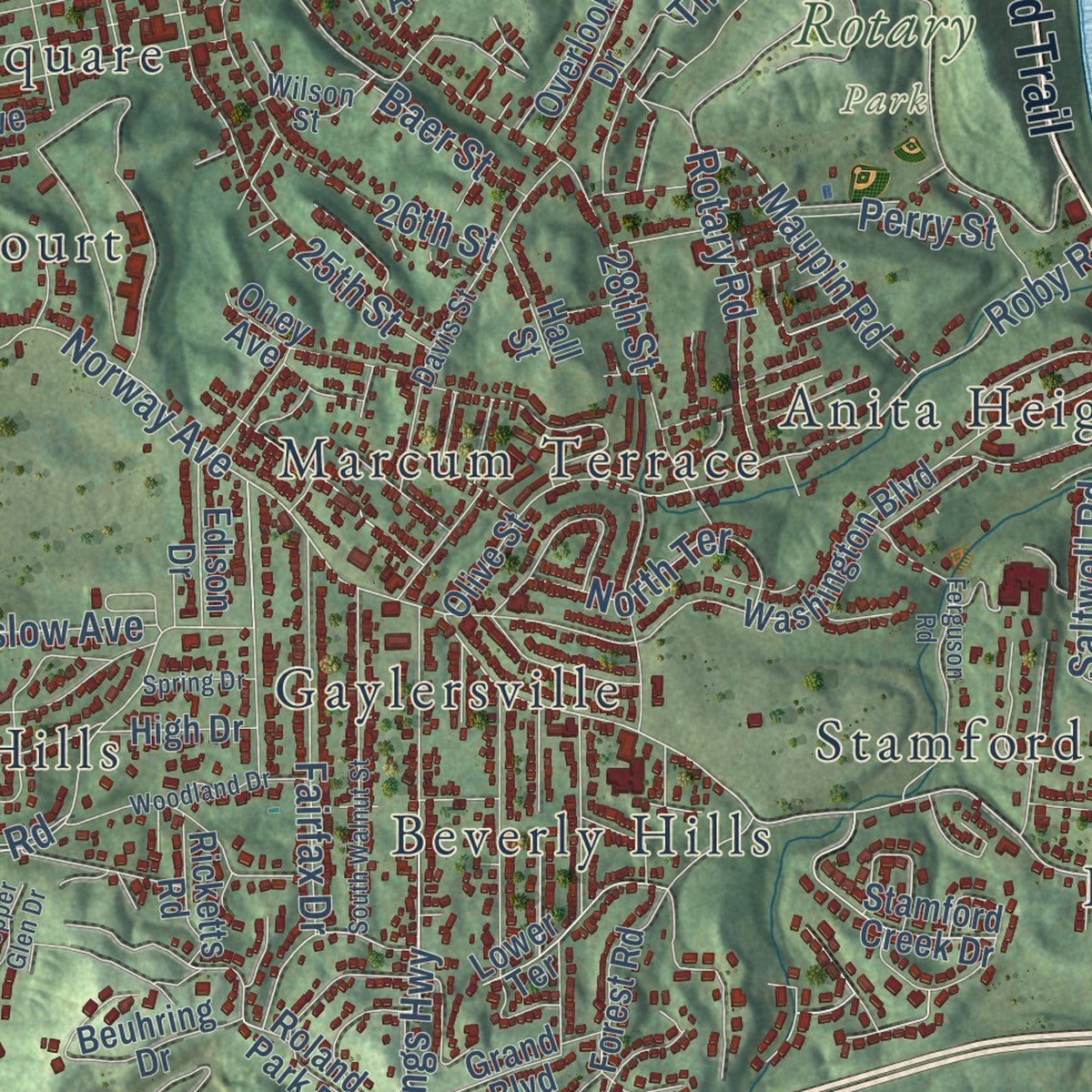
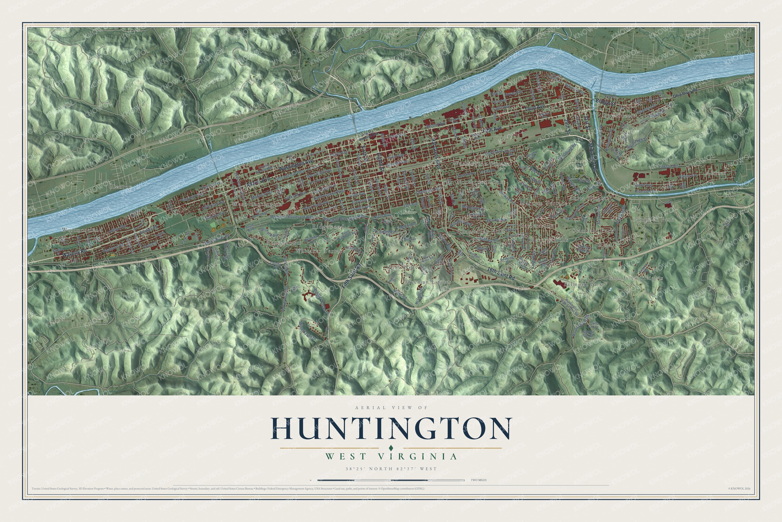
Explore Huntington, West Virginia from a whole new perspective. Created using aerial imagery and detailed geographic data, this map captures Huntington building by building, with labeled streets, familiar landmarks, and shaded topographical relief that highlights the natural contours of the landscape.
Combining modern data with the timeless character of a vintage atlas, this map is just as interesting up close as it is beautiful on the wall. Whether you grew up in Huntington, spent memorable years there, or call it home today, this unique map is a great way to celebrate a place that means something to you. Zoom in on the preview to look for your street, and then order a print to put your memories on the wall.
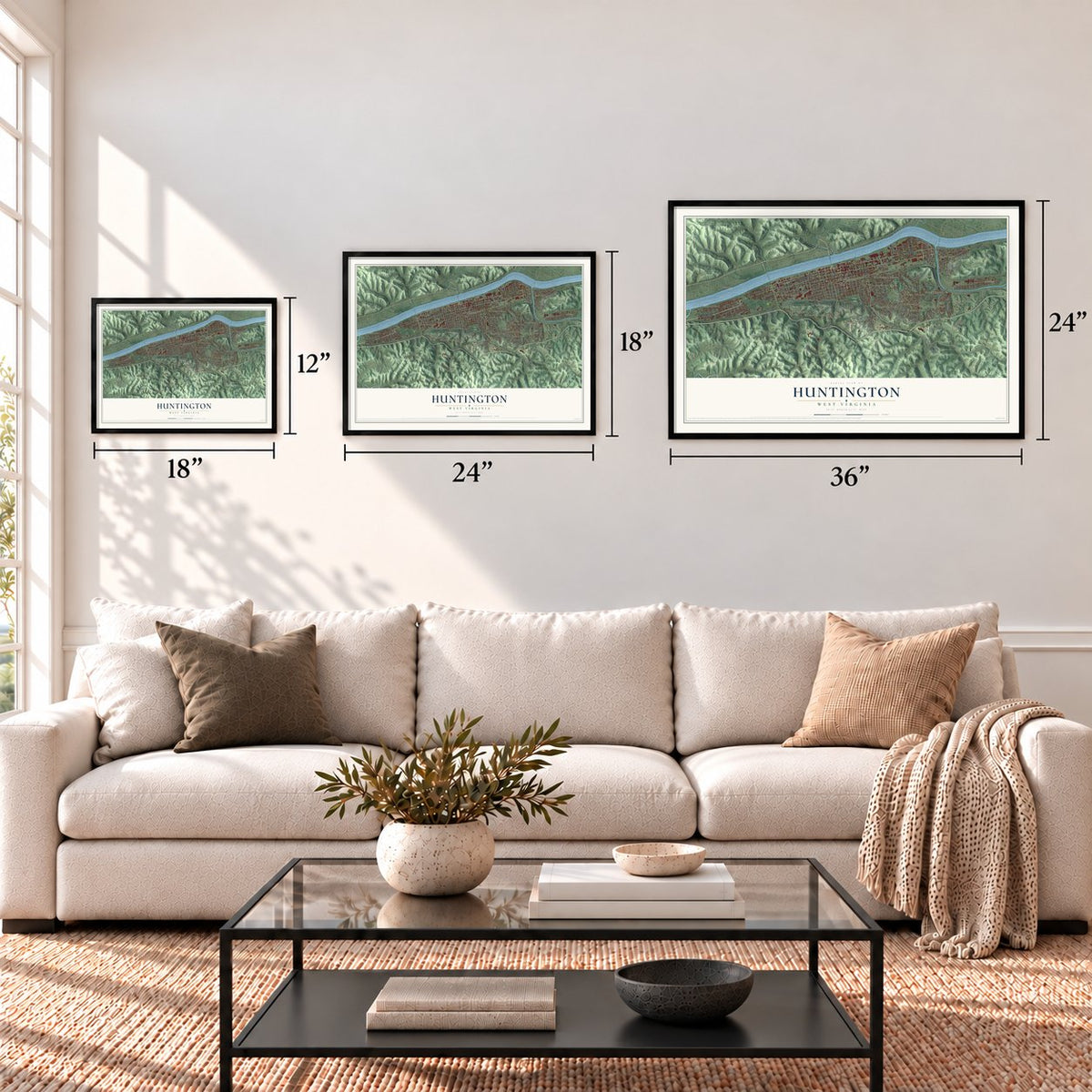
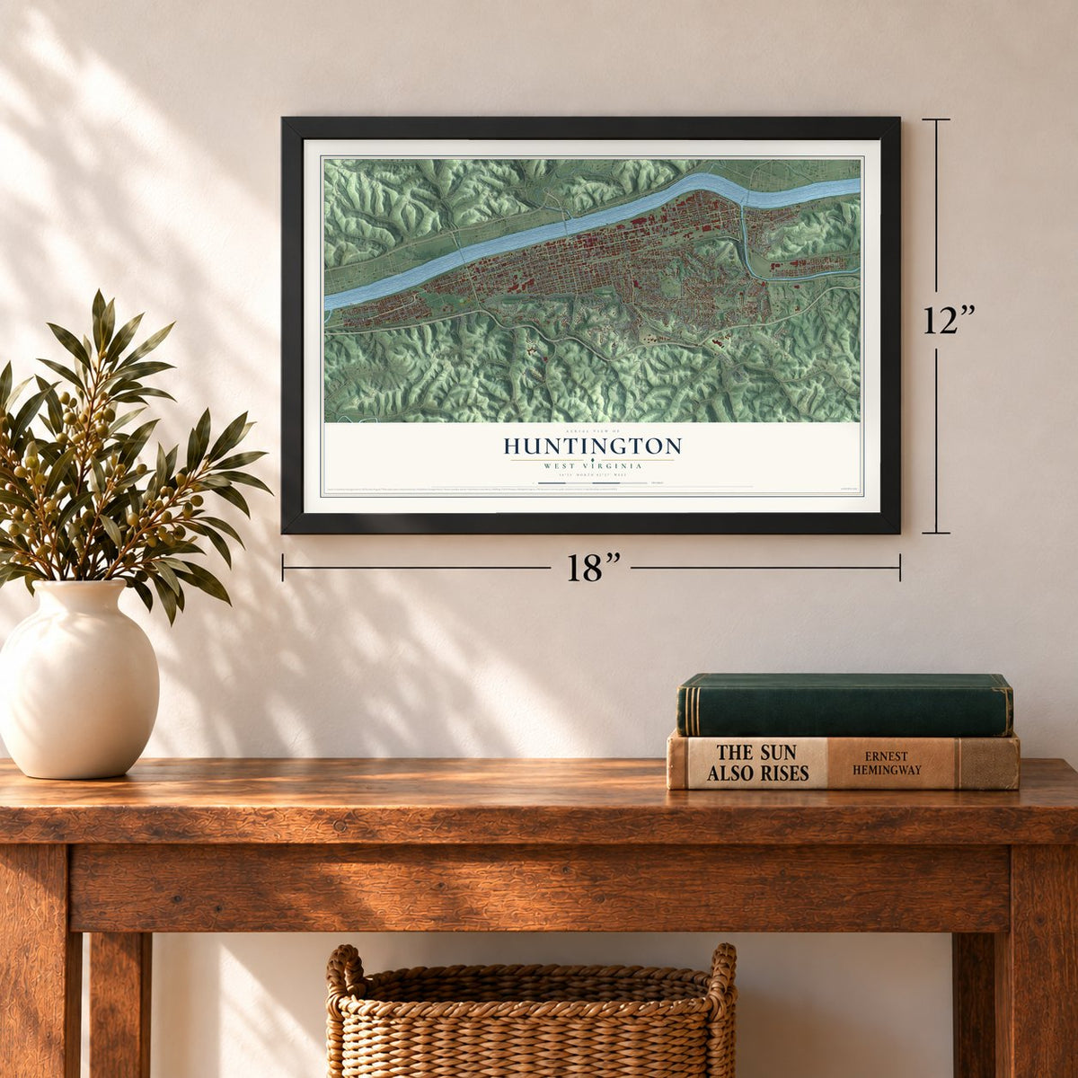
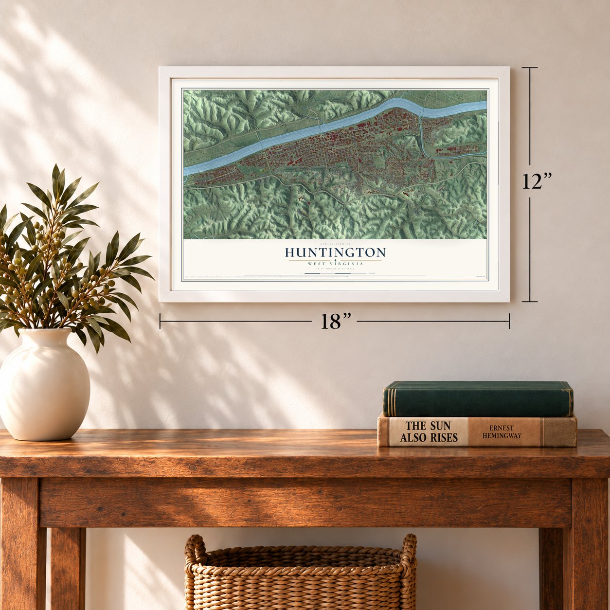
Three ways to hang it
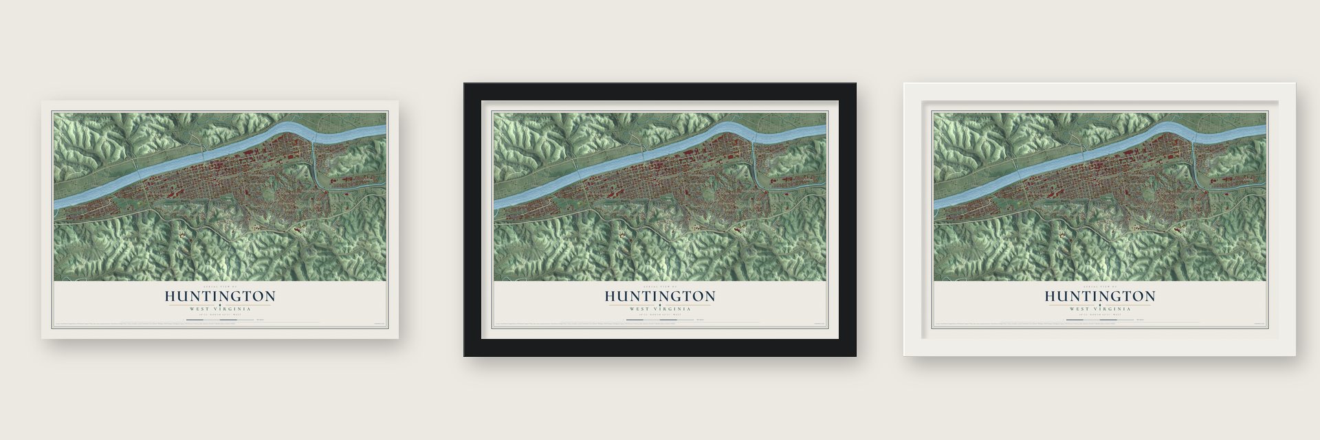
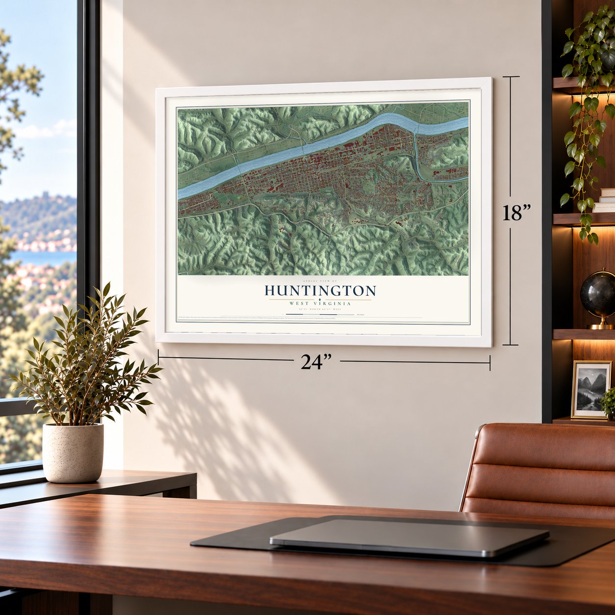
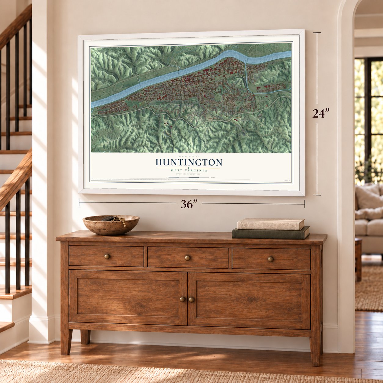
Unframed archival matte, a black wood frame or a white wood frame.
Up close
Geography Worth Displaying
This map was created using accurate cartographic data and authoritative geographic sources, including the U.S. Geological Survey and the Census Bureau. The map brings together terrain, waterways, roads, and building detail. The majority of the streets are labeled, houses are accurately depicted, and the topography is derived from government sources. Combining local data with carefully composed color and shading leads to this beautifully detailed Huntington artwork for your wall.
Rather than simply showing street outlines, we’ve included as many of the street names as we could reasonably fit on the map while keeping their names legible. Zoom in on the high resolution preview to see exactly what’s on the map. We truly set out to create a statement piece for anyone who loves Huntington. So whether it’s for you, or a gift for someone you love, we hope this map of Huntington brings back fond memories.
Read the story behind this map of Huntington, West Virginia from 2026.
Find your street
Names on the Huntington map
Every name below is printed on this map. Look for your street, your school, the park where you played, or the pond down the road.
Places and landmarks24
- Altizer
- Ritter Park
- Rotary Park
- Anita Heights
- Belmont Park
- Beverly Hills
- Campbell Park
- Chancellor Hills
- Freeman Estates
- Gaylersville
- Glenroy
- Grandview Heights
Show all 24 places
- Guyandotte
- Harveytown
- Marcum Terrace
- Northcott Court
- Park Hills
- Reid
- Ridgewood
- Stamford Park
- Washington Square
- West Huntington
- Westmoreland
- Whitaker Terrace
Streets and roads225
- Fifth Avenue
- Third Avenue
- Adams Avenue
- Bridge Street
- Eighth Street
- 29th Street
- Washington Avenue
- Midland Trail
- Fifth Saint Road
- Sixth Street
- 16th Saint Road
- Hal Greer Boulevard
- Waverly Road
- 31st Street
- Eighth Avenue
- Auburn Road
- First Street
- North Boulevard
- Staunton Road
- Court Street
- McCoy Road
- Tenth Street
- Memorial Boulevard West
- Main Street
- Norway Avenue
- Sixth Avenue
- James River Road
- Charleston Avenue
- Fifth Avenue West
- Jefferson Avenue
Show all 225 streets
- Fourth Street
- 17th Street
- Rotary Road
- Fifth Street
- Staunton Street
- McVeigh Avenue
- Fourth Avenue
- Ninth Avenue West
- Seventh Avenue
- Tenth Avenue
- Riverside Drive
- Madison Avenue
- Twelfth Avenue
- Eleventh Avenue
- 28th Street
- Piedmont Road
- Altizer Avenue
- Harvey Road
- Virginia Avenue
- Bradley Road
- Third Street
- 15th Street
- 26th Street
- Seventh Street
- Jackson Avenue
- Twelfth Street
- 25th Street
- 20th Street
- Enslow Boulevard
- Second Street
- Monroe Avenue
- Second Avenue
- Harveytown Road
- Ninth Street
- 27th Street
- Woodhaven Drive
- 18th Street
- Miller Road
- Eleventh Street
- 13th Street
- 14th Street
- 21st Street
- Whitaker Boulevard West
- 13th Avenue
- Park Avenue
- Buffington Street
- Wiltshire Boulevard
- First Avenue
- Collis Avenue
- Elm Street
- Bradley Foster Drive
- 22nd Street
- 19th Street
- Chase Street
- Saltwell Road
- Parkway Drive
- Roby Road
- 14th Street West
- South High Street
- Crane Avenue
- Thornburg Road
- Orchard Avenue
- Guyan Avenue
- Fern Street
- Enslow Avenue
- 30th Street
- West Tenth Avenue
- Fairfax Drive
- Hillside Drive
- Military Road
- Kings Highway
- Lawson Heights
- Maupin Road
- North Terrace
- Mount Union Road
- West Sixth Avenue
- Perry Street
- Division Street
- Baer Street
- Vinson Street
- Oley Street
- Neel Street
- Ohio River Road
- Roland Park Drive
- Washington Boulevard
- Nickel Plate Road
- Artisan Avenue
- Virginia Avenue West
- Huntington High School Road
- Ridgewood Road
- Ritter Boulevard
- Camelot Drive
- Golden Oak Drive
- 24th Street
- South 19th Street West
- South Altamont Road
- Water Street
- Doulton Avenue
- Westview Avenue
- Ritter Drive
- Forest Road
- Sunset Drive
- Overlook Drive
- Oney Avenue
- Donald Avenue
- Hamill Road
- Park Street
- McCullough Road
- Olive Street
- Van Buren Avenue
- Beuhring Drive
- South Boulevard
- Maple Avenue
- Stamford Creek Drive
- Owls Lair Drive
- West Eighth Avenue
- Underwood Avenue
- Overby Road
- Ricketts Road
- Tiernan Street
- Lower Terrace
- Mallory Court
- Grand Boulevard
- Seneca Road
- Elwood Avenue
- Edison Drive
- High Street
- West Road
- Mc Coy Road
- High Drive
- Baltimore Street
- Dundale Avenue
- 33rd Street
- Rural Avenue
- Hill Road
- Hall Street
- Wright Avenue
- 16th Street
- Lynn Street
- Frost Street
- Brandon Road
- Guyan Street
- Atwood Road
- Hughes Street
- Commerce Avenue
- Crestmont Drive
- Ninth Street West
- West Eleventh Avenue
- West Sixth Street
- Davis Street
- 15th Street West
- Woodward Terrace
- Wilson Street
- Cook School Road
- West Seventh Avenue
- Jefferson Road
- Vinson Road
- 36th Street
- North Staunton Road
- Cavalier Drive
- River Acc
- Kingsbury Drive
- Highlawn Avenue
- Quail Ridge Road
- Shockey Drive
- Ohio Avenue
- Edwards Street
- Wilson Heights
- Veterans Memorial Boulevard
- Eighth Saint Road
- 40th Street
- West Fifth Avenue
- Norwood Road
- Third Avenue West
- Woodland Drive
- Arlington Boulevard
- Ferguson Road
- South Walnut Street
- Burlington Road
- Hawthorne Way
- Hilltop Drive
- Holderby Road
- 26th Street West
- East Road
- Campbell Drive
- North High Street
- Short Street
- Cheshire Way
- Spring Drive
- Copper Glen Drive
- 38th Street
- Blair Street
- Minton Street
- Lynda Court
- Wood Lane
Names are listed as they appear on the printed map. Zoom into the product photos to find them.
About Huntington, West Virginia
Huntington is a city of 46,842 people and the county seat of Cabell County, where the Guyandotte River flows into the Ohio. Settlers first arrived in 1775. In 1821 a farmer named James Holderby bought much of the land the city now covers, so the place became known as Holderby's Landing. Part of his estate was given in 1837 to start the school that became Marshall University.
Collis P. Huntington, one of the Big Four who built the Central Pacific Railroad, chose this spot as the western end of his Chesapeake and Ohio Railway. The city was incorporated in 1871 and named for him, and on December 31 of that year voters elected Peter Cline Buffington as the first mayor. When the C&O line was finished in 1873, Richmond was tied to the Ohio Valley by rail at last. The older town of Guyandotte, founded in 1799, became a Huntington neighborhood in 1891.
- The bank robbery of 1875Riders robbed the Huntington Bank on September 6, 1875, and fled into Wayne County. The city went after them and caught Thomas J. Webb. A jury found him guilty on December 4, 1875, and the court gave him a 14-year prison term. He died behind bars. Stories around town say Jesse James and his gang did it, but Frank and Jesse James were far from Huntington at the time.
- Trolleys and Camden ParkElectric streetcars began running in 1888, and the lines grew to reach Ashland, Kentucky, and Ironton, Ohio. The Camden Interstate Railway Company opened Camden Park in 1903 to give people a reason to ride, and it ranks among the oldest amusement parks in the world. In 1937 Huntington became the first city in the state to run only gasoline buses.
- The Great Flood of 1937The flood of 1937 ended Huntington's boom years. It killed 5 people and caused millions of dollars in damage. About 40,000 people lived in the parts of the city under water, and 25,000 of them lost their homes. About 11,000 asked the Red Cross for help. The disaster led the city to build its flood walls in 1938.
- The B&O depot of 1887The Baltimore and Ohio Railroad built its Huntington depot in 1887, and it joined the National Register in 1973. It sat almost unused for decades until Create Huntington took it on in 2006. Now called Heritage Station, it holds local shops, a steam engine and a Pullman car, and it hosts the Diamond Teeth Mary Blues Festival each year. The festival honors the blues singer, who was born in Huntington.
Keep exploring West Virginia
Huntington is one of 514 West Virginia towns we've mapped. Every dot on the map is a print of its own.
The search covers every state, West Virginia first.
Near Huntington
Order 2 or more town maps and save 10%. Shown in the size and finish you picked above, so they hang as a set.
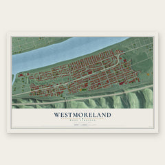
- Westmoreland 12" x 18" / Archival Matte Print $39.99
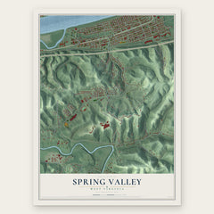
- Spring Valley 12" x 18" / Archival Matte Print $39.99
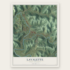
- Lavalette 12" x 18" / Archival Matte Print $39.99
More maps nearby: Pea Ridge, Ceredo, Barboursville, Kenova and Martha.
The art of mapping a place
How This Map Was Made
Real places. Remarkable detail. Discover the layers that turn geographic data into a map of home.

The view from above
Aerial imagery reveals the character of the land: woodland, open fields, and the patterns of a place.

The shape of the land
Elevation data brings hills, valleys, and subtle changes in the landscape into view.

The details of home
Roads, waterways, and building footprints come together to make the map feel unmistakably local.

Geography becomes art
Considered color, shading, and typography bring the layers together in a map made for your wall.


Process illustrated with Mendon, Massachusetts. Aerial imagery: USDA NAIP. Terrain: USGS 3D Elevation Program. Map details and finished artwork: KNOWOL.
The Details
About This Print
Choose an archival matte print, or a black or white Ayous wood frame. The archival matte print is unframed.
Select your size and finish above to see the matching product image and price.
Materials & Craftsmanship
A contemporary map with the character of a classic atlas, printed on archival matte paper. Optional frames are made from Ayous wood.
Your printed map does not include the watermark shown in the full-map preview.
Shipping & Delivery
Free shipping within the United States. Every print is made to order in the USA.
Buying a gift? Add a note in your cart and we'll include it. We never put prices in the package.
Prints ship within 2 to 3 business days. Allow 7 to 10 days total from ordering for delivery. Timing may vary during holidays or periods of high order volume.
Read our shipping policy.
Returns and damaged prints
Each print is made to order. Change-of-mind refunds are not available after production.
If your print arrives damaged, misprinted or incorrect, contact support@knowol.com within 30 days of receiving it. Include your order number, photos and a description of the issue.
Read our full refund and replacement policy. For questions about your order, email support@knowol.com.