
Search for another town


Free U.S. delivery 7 to 10 days after you order
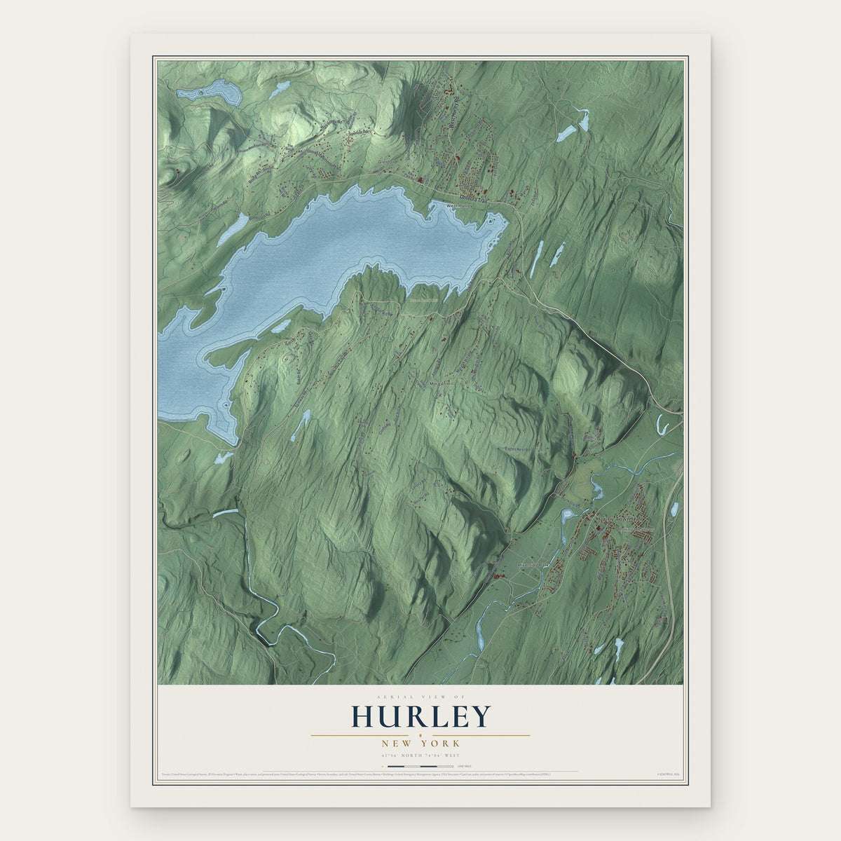
Hurley, New York Map Art
Building by building, with labeled streets and shaded relief.
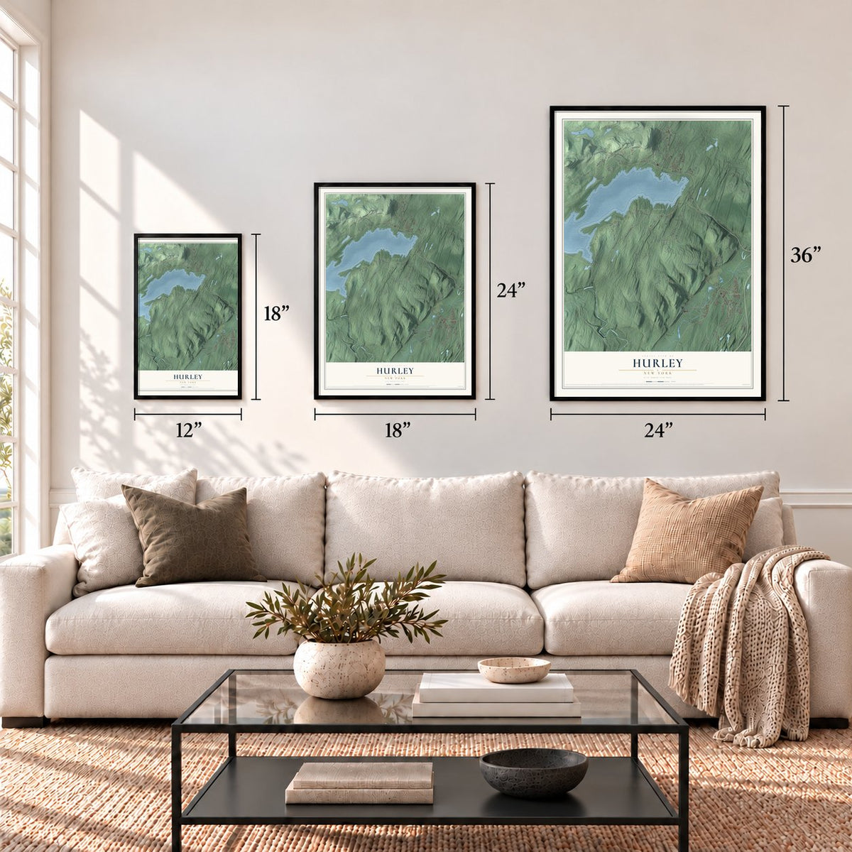
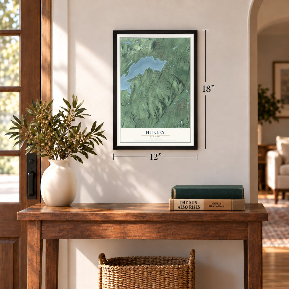
12" x 18" Archival Matte Print
A Map of Home. A Work of Art.
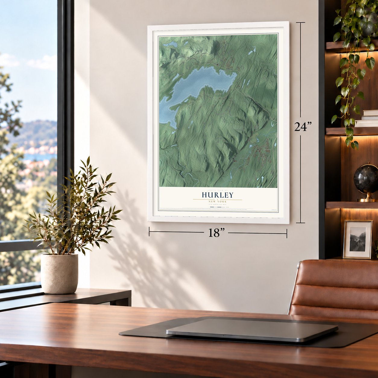
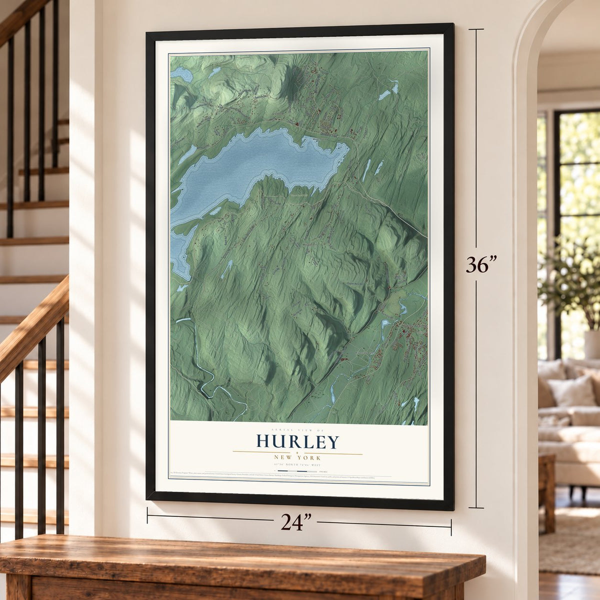
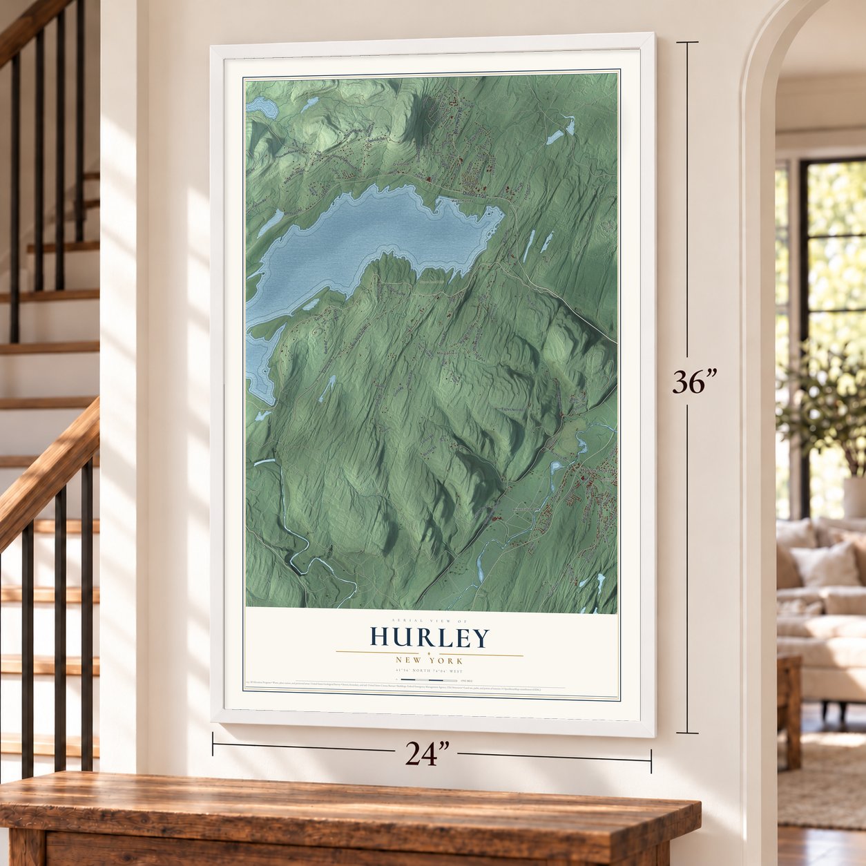
Explore Hurley, New York from a whole new perspective. Created using aerial imagery and detailed geographic data, this map captures Hurley building by building, with labeled streets, familiar landmarks, and shaded topographical relief that highlights the natural contours of the landscape.
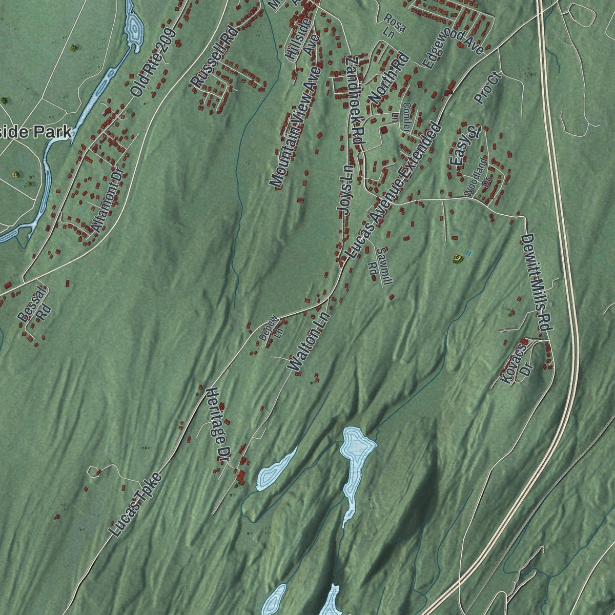
Combining modern data with the timeless character of a vintage atlas, this map is just as interesting up close as it is beautiful on the wall. Whether you grew up in Hurley, spent memorable years there, or call it home today, this unique map is a great way to celebrate a place that means something to you. Zoom in on the preview to look for your street, and then order a print to put your memories on the wall.

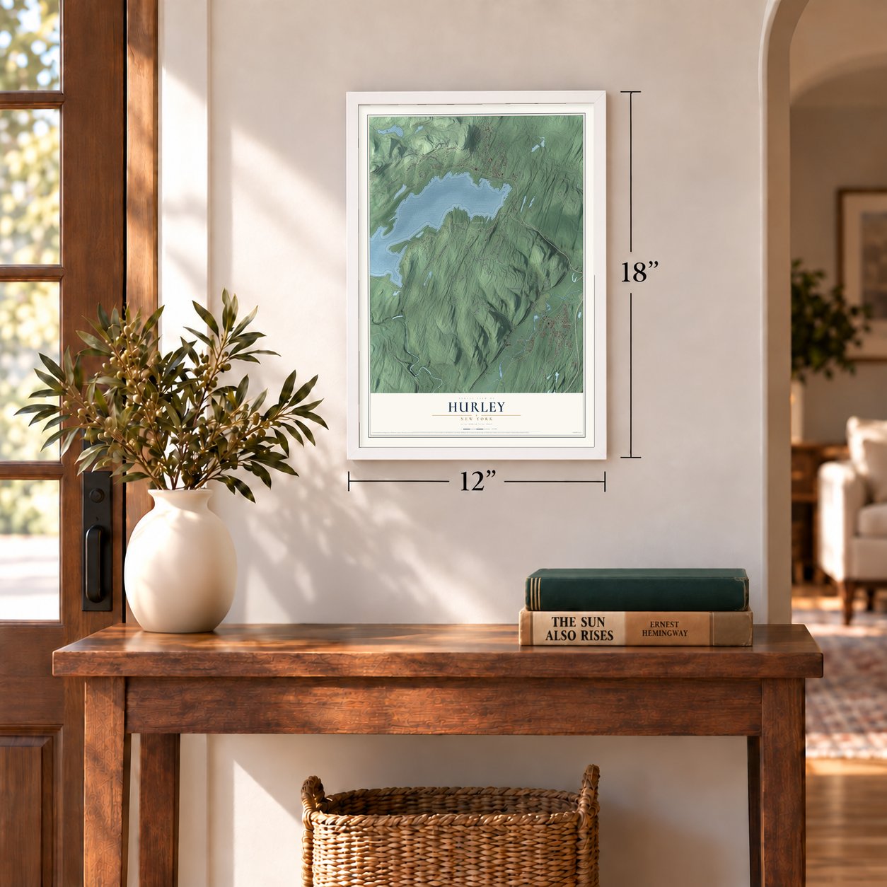
Three ways to hang it
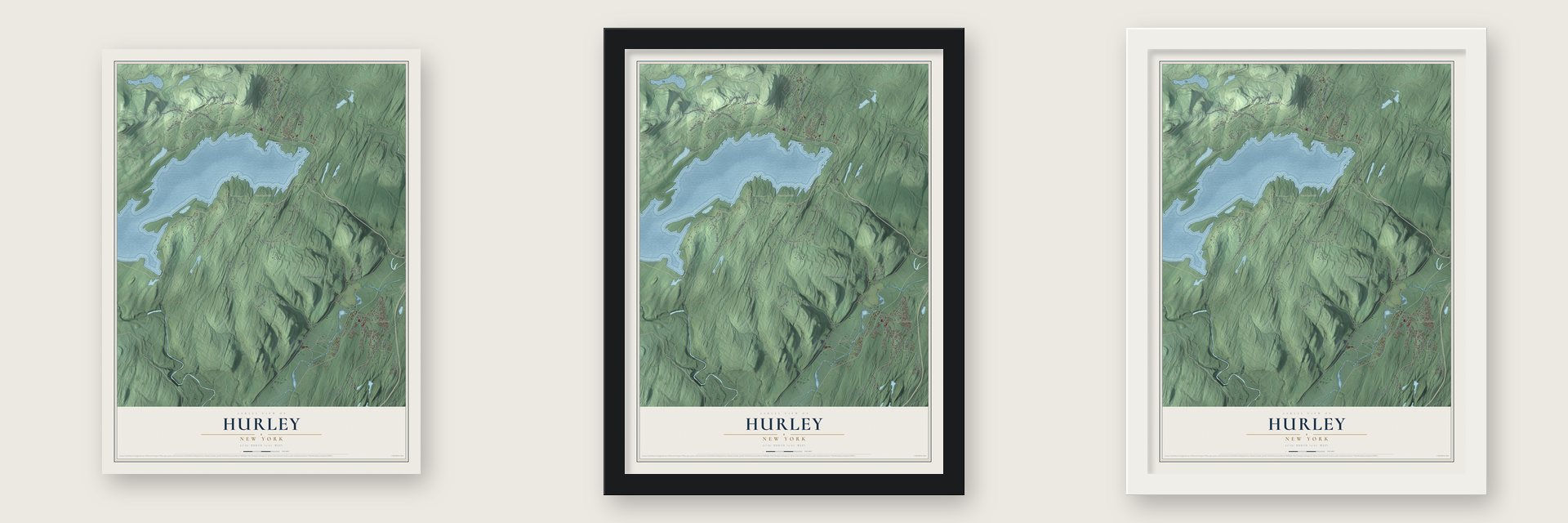
Unframed archival matte, a black wood frame or a white wood frame.
Up close
Geography Worth Displaying
This map was created using accurate cartographic data and authoritative geographic sources, including the U.S. Geological Survey (USGS) and FEMA. The map brings together terrain, waterways, roads, and building detail. The majority of the streets are labeled, houses are accurately depicted, and the topography is derived from government sources. Combining local data with carefully composed color and shading leads to this beautifully detailed Hurley artwork for your wall.
Rather than simply showing street outlines, we’ve included as many of the street names as we could reasonably fit on the map while keeping their names legible. Zoom in on the high resolution preview to see exactly what’s on the map. We truly set out to create a statement piece for anyone who loves Hurley. So whether it’s for you, or a gift for someone you love, we hope this map of Hurley brings back fond memories.
Explore the full map of Hurley, New York and read about the local places it shows.
Find your street
Names on the Hurley map
Every name below is printed on this map. Look for your street, your school, the park where you played, or the pond down the road.
Places and landmarks7
- Hurley Town Hall
- Rolling Meadows
- Stone Road Unit
- Glenford
- Morgan Hill
- Riverside Park
- West Hurley
Streets and roads118
- West Hurley Road
- Onteora Trail
- Spillway Road
- Zena Road
- New York City Road
- Pitcairn Road
- Holiday Drive
- Dug Hill Road
- Stone Road
- Hurley Mountain Road
- Lucas Avenue Extended
- Lucas Turnpike
- Maverick Road
- Eagles Nest Road
- Morgan Hill Road
- Old Route 28
- Baker Road
- Old Route 209
- Shop Road
- Glenford-Wittenberg Road
- Boyce Road
- Dewitt Mills Road
- Thielpape Road
- Tanglewood Road
- Dike Road
- Zandhoek Road
- Schildknecht Road
- Walton Lane
- County Highway 29
- Van Dale Road
Show all 118 streets
- Basin Road
- Wynkoop Road
- Spencer Road
- Sherman Road
- Froners Road
- High Rocks Road
- Lorenz Road
- Mountain View Avenue
- Cedar Street
- Park Drive
- Joys Lane
- Ryan Drive
- Boulevard Road
- Russell Road
- Vinegar Hill Road
- Pine Street
- Ridge Drive
- Canary Hill Road
- Wall Street
- Reichel Road
- Hoyer Road
- Crofts Road
- Skea Road
- Heritage Drive
- Muse Road
- Easy Street
- North Road
- Hilltop Drive
- Ingrid Lane
- Maxs Place
- Birch Street
- Black Bear Drive
- North Drive
- Ohayo Mountain Road
- Pitcairn Mountain Road
- Bristol Hill Road
- Station Road
- Kreyer Lane
- Arnold Drive
- Brucken Road
- Williams Lane
- Brueckner Lane
- Altamont Drive
- Kovacs Drive
- Beesmer Road
- Holland Drive
- Edgewood Avenue
- Hollow Road
- Bundy Lane
- Alden Terrace
- Stony Creek Lane
- Witchtree Road
- Hillside Avenue
- The Ridge
- Evergreen Lane
- Bessal Road
- Lennox Avenue
- Collier Road
- Rock Ledge Lane
- Suncliff Road
- Elks Park Road
- Tebelt Lane
- Millbrook Avenue
- Moore Lane
- Portz Road
- Pro Court
- Holly Hills Drive
- Kenozia Lake Road
- Pleasant Ridge Drive
- Rosa Lane
- Maverick Terrace
- Sawmill Road
- O'Keefe Lane
- Stone Lane
- Trail Road
- Bluestone Ridge
- Hickory Lane
- Conifer Lane
- Brittany Drive
- Woodland Drive
- Flanders Lane
- Alexander Road
- Grumme Road
- Jones Quarry Road
- Norbert Road
- Bakers Road
- Depew Lane
- Wilson Road
Names are listed as they appear on the printed map. Zoom into the product photos to find them.
About Hurley, New York
Hurley is a town of 6,178 people in Ulster County, west of Kingston, and much of it lies inside the Catskill Park. Petrus Stuyvesant, who governed New Netherland for the Dutch, founded a village called Niew Dorp here in 1662, on ground where a Native American settlement had stood. The Esopus destroyed it on June 7, 1663, during the Esopus Wars, and carried off captives who were later freed.
The English took over the Dutch colony on September 6, 1664, and the empty village was settled again on September 17, 1669, under the new name Hurley. Governor Francis Lovelace most likely chose the name to honor his relatives, the Barons Lovelace, whose seat was Hurley, a place in Berkshire, England. Two land patents in 1708 stretched the town north toward Woodstock and south to the old New Paltz line. Parts of it later became New Paltz in 1809, Esopus in 1818, Olive in 1823, Rosendale in 1844 and Woodstock in 1853.
- Capital of New York in 1777The farm families of Old Hurley grew grain in the Esopus Valley for the colony, for New England and for the Revolutionary army. In October, November and December 1777, General George Clinton made the village the base for his Continental troops, and the state government moved here from Kingston, making Hurley the temporary capital of New York. Poughkeepsie took over the role after that.
- Stone houses on Main StreetThe stone houses along Old Hurley's Main Street have been lived in for more than 300 years. Each July, on Stone House Day, some of them open their doors to visitors, and one holds the Hurley Heritage Society's museum.
- Cement in the southFarmers settled the southern end of the town quickly and founded the villages of Bloomingdale and Wagondale, which was later called Creeklocks. Then limestone good for making cement turned the area into a valuable business center, with the village of Rosendale at its heart. In 1844 those villages and the land around them broke away to form the town of Rosendale.
- Bluestone and the AshokanThe northern woods stayed wild until the 1830s, when quarrymen found a fine shale called bluestone and cut it for curbs, sidewalks and building fronts. West Hurley, Glenford and Ashton grew up around the quarries. In 1917 New York City needed a dependable water supply, so it condemned the valley and flooded it to make the Ashokan Reservoir. Glenford and West Hurley were rebuilt on the shore, but Ashton never was.
Keep exploring New York
Hurley is one of 2,165 New York towns we've mapped. Every dot on the map is a print of its own.
The search covers every state, New York first.
Near Hurley
Order 2 or more town maps and save 10%. Shown in the size and finish you picked above, so they hang as a set.
- West Hurley 12" x 18" / Archival Matte Print $39.99
- Town of Kingston 12" x 18" / Archival Matte Print $39.99
- Shokan 12" x 18" / Archival Matte Print $39.99
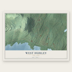
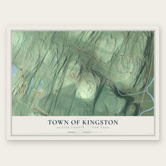

More maps nearby: Zena, Hillside, Lincoln Park, Ulster and Marbletown.
The art of mapping a place
How This Map Was Made
Real places. Remarkable detail. Discover the layers that turn geographic data into a map of home.

The view from above
Aerial imagery reveals the character of the land: woodland, open fields, and the patterns of a place.

The shape of the land
Elevation data brings hills, valleys, and subtle changes in the landscape into view.

The details of home
Roads, waterways, and building footprints come together to make the map feel unmistakably local.

Geography becomes art
Considered color, shading, and typography bring the layers together in a map made for your wall.


Process illustrated with Mendon, Massachusetts. Aerial imagery: USDA NAIP. Terrain: USGS 3D Elevation Program. Map details and finished artwork: KNOWOL.
The Details
About This Print
Choose an archival matte print, or a black or white Ayous wood frame. The archival matte print is unframed.
Select your size and finish above to see the matching product image and price.
Materials & Craftsmanship
A contemporary map with the character of a classic atlas, printed on archival matte paper. Optional frames are made from Ayous wood.
Your printed map does not include the watermark shown in the full-map preview.
Shipping & Delivery
Free shipping within the United States. Every print is made to order in the USA.
Buying a gift? Add a note in your cart and we'll include it. We never put prices in the package.
Prints ship within 2 to 3 business days. Allow 7 to 10 days total from ordering for delivery. Timing may vary during holidays or periods of high order volume.
Read our shipping policy.
Returns and damaged prints
Each print is made to order. Change-of-mind refunds are not available after production.
If your print arrives damaged, misprinted or incorrect, contact support@knowol.com within 30 days of receiving it. Include your order number, photos and a description of the issue.
Read our full refund and replacement policy. For questions about your order, email support@knowol.com.