
Search for another town
Free U.S. delivery 7 to 10 days after you order
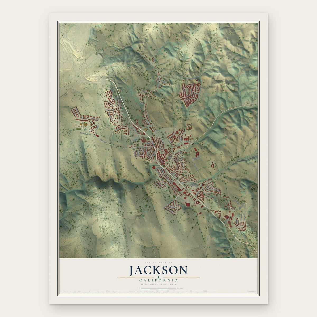
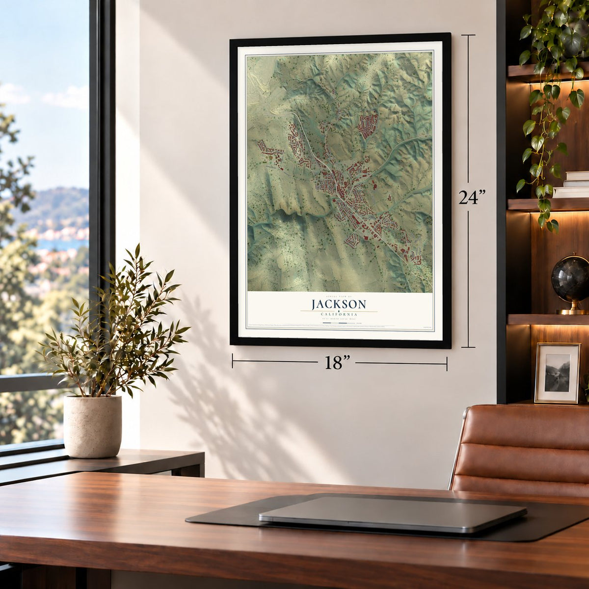
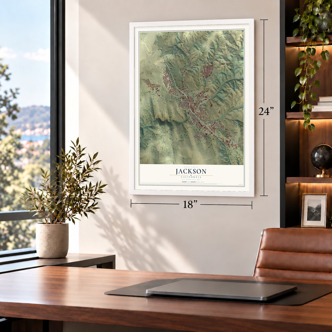
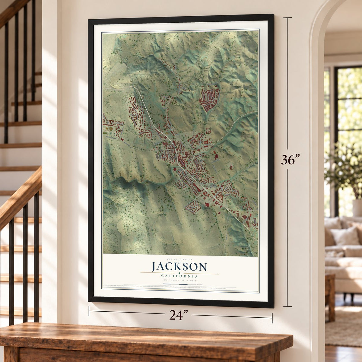
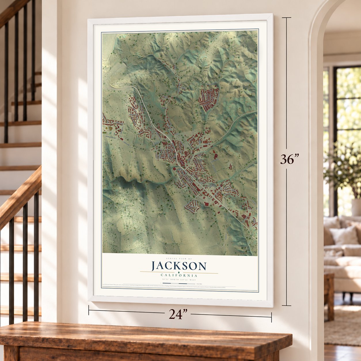
Jackson, California Map Art
Building by building, with labeled streets and shaded relief.
12" x 18" Archival Matte Print
A Map of Home. A Work of Art.
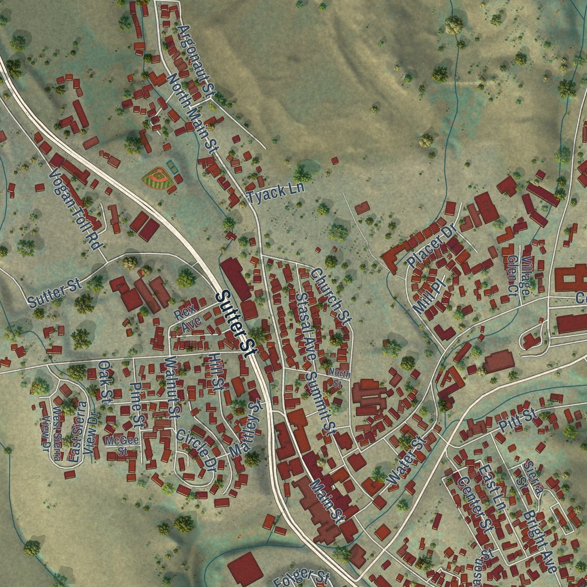
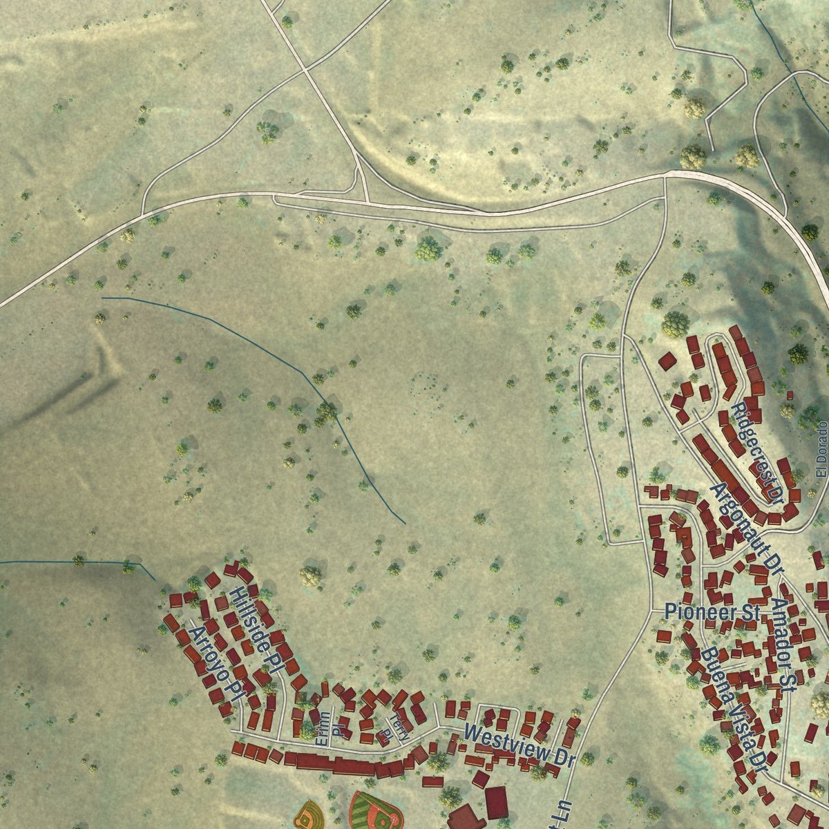
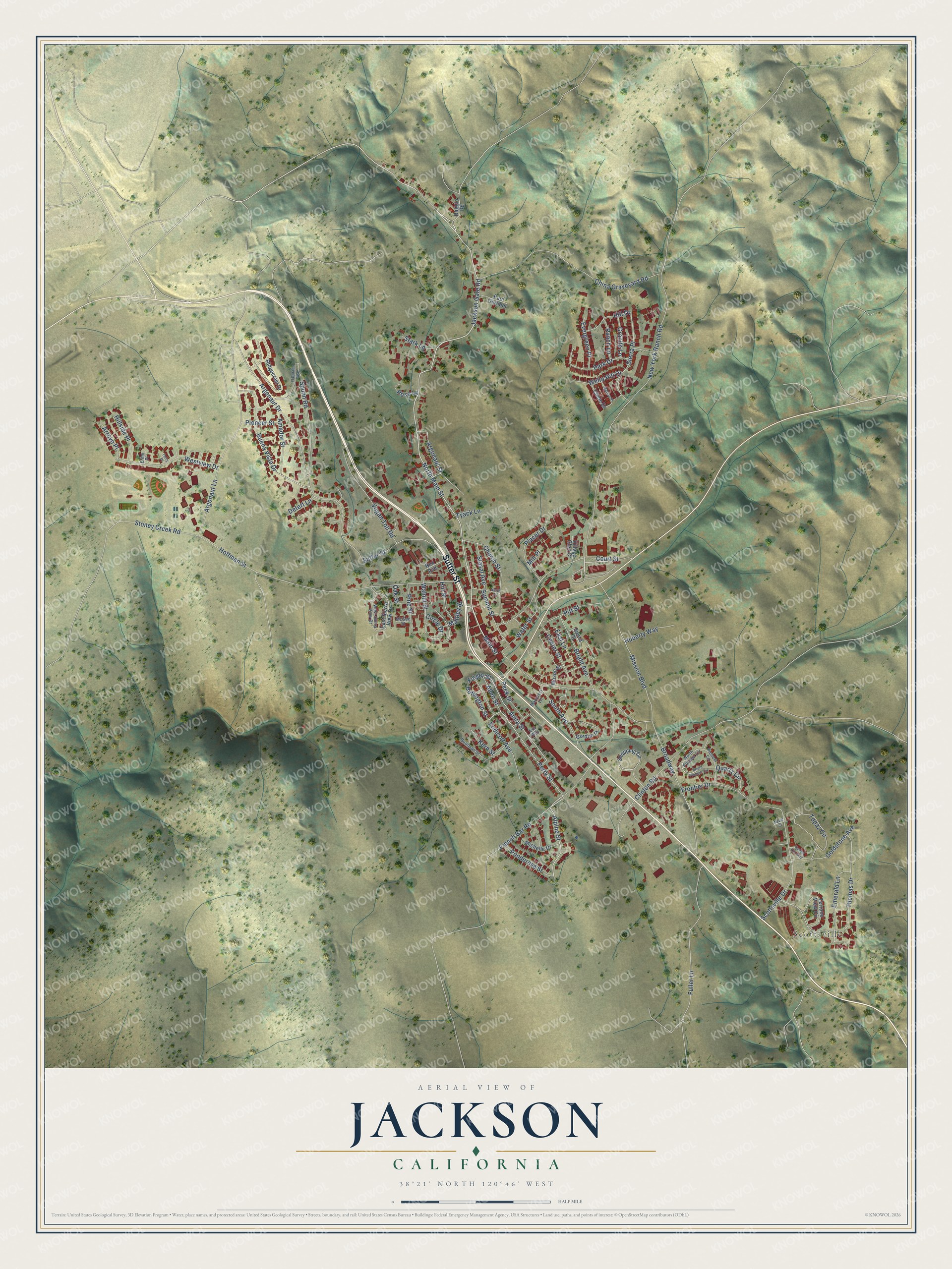
Explore Jackson, California from a whole new perspective. Created using aerial imagery and detailed geographic data, this map captures Jackson building by building, with labeled streets, familiar landmarks, and shaded topographical relief that highlights the natural contours of the landscape.
Combining modern data with the timeless character of a vintage atlas, this map is just as interesting up close as it is beautiful on the wall. Whether you grew up in Jackson, spent memorable years there, or call it home today, this unique map is a great way to celebrate a place that means something to you. Zoom in on the preview to look for your street, and then order a print to put your memories on the wall.
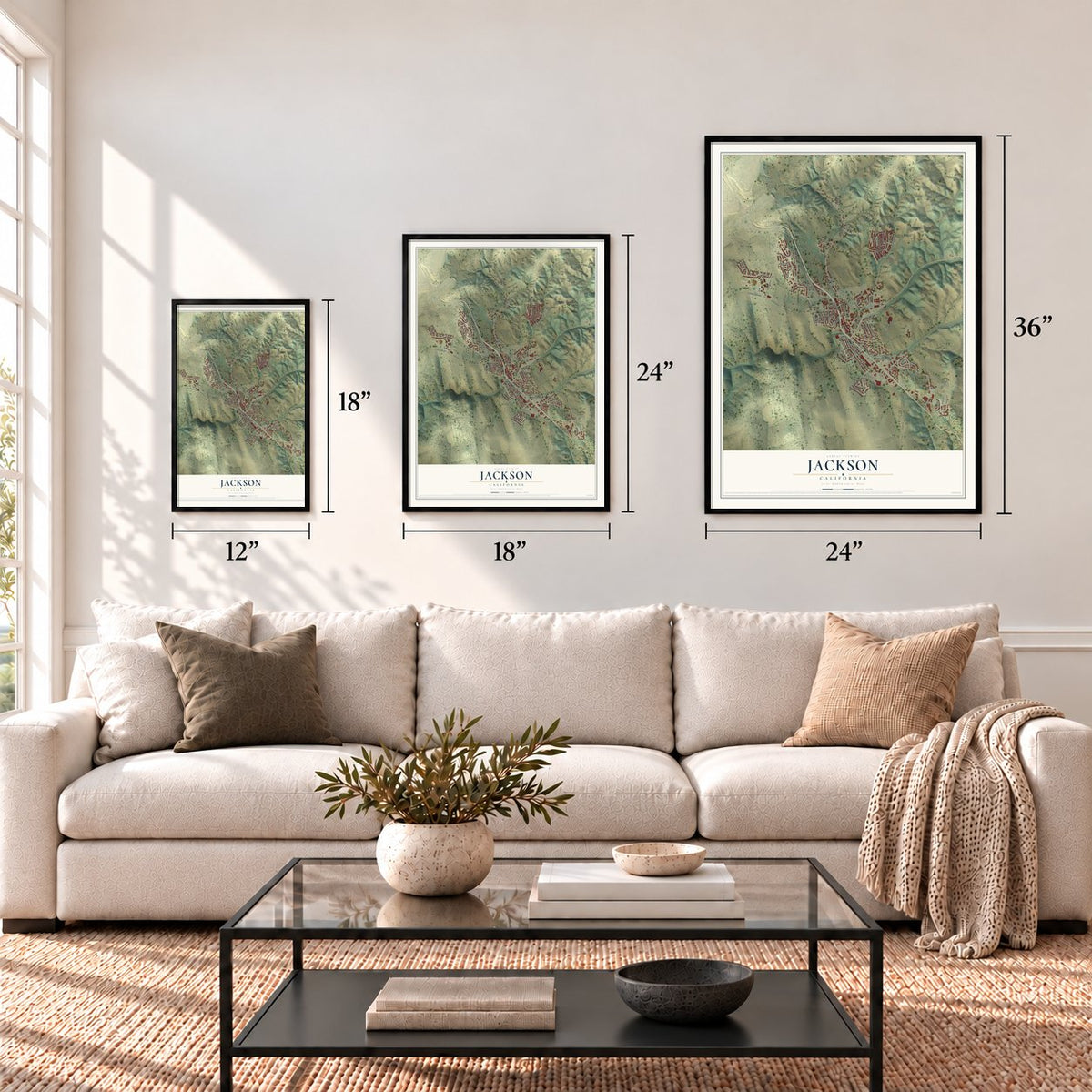
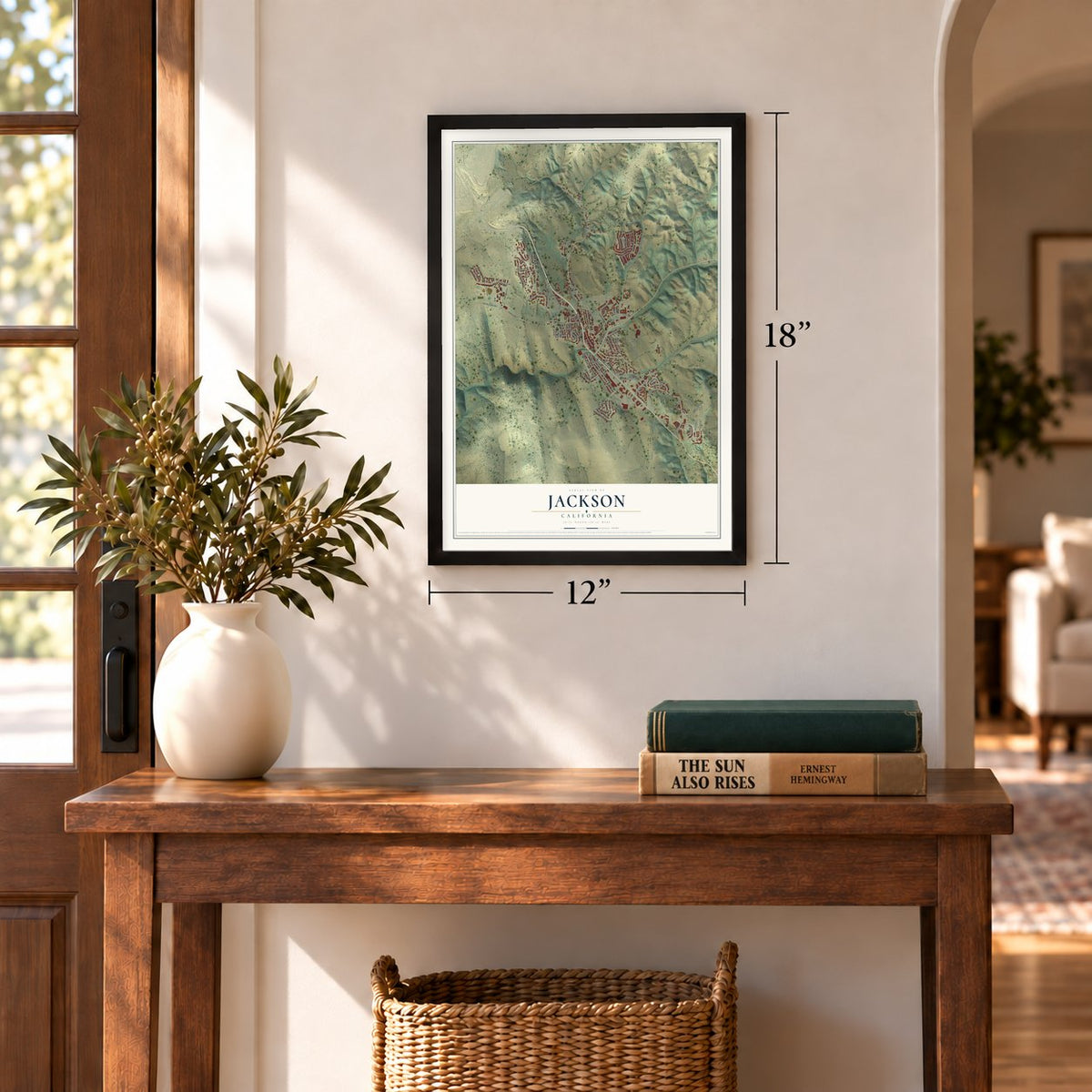
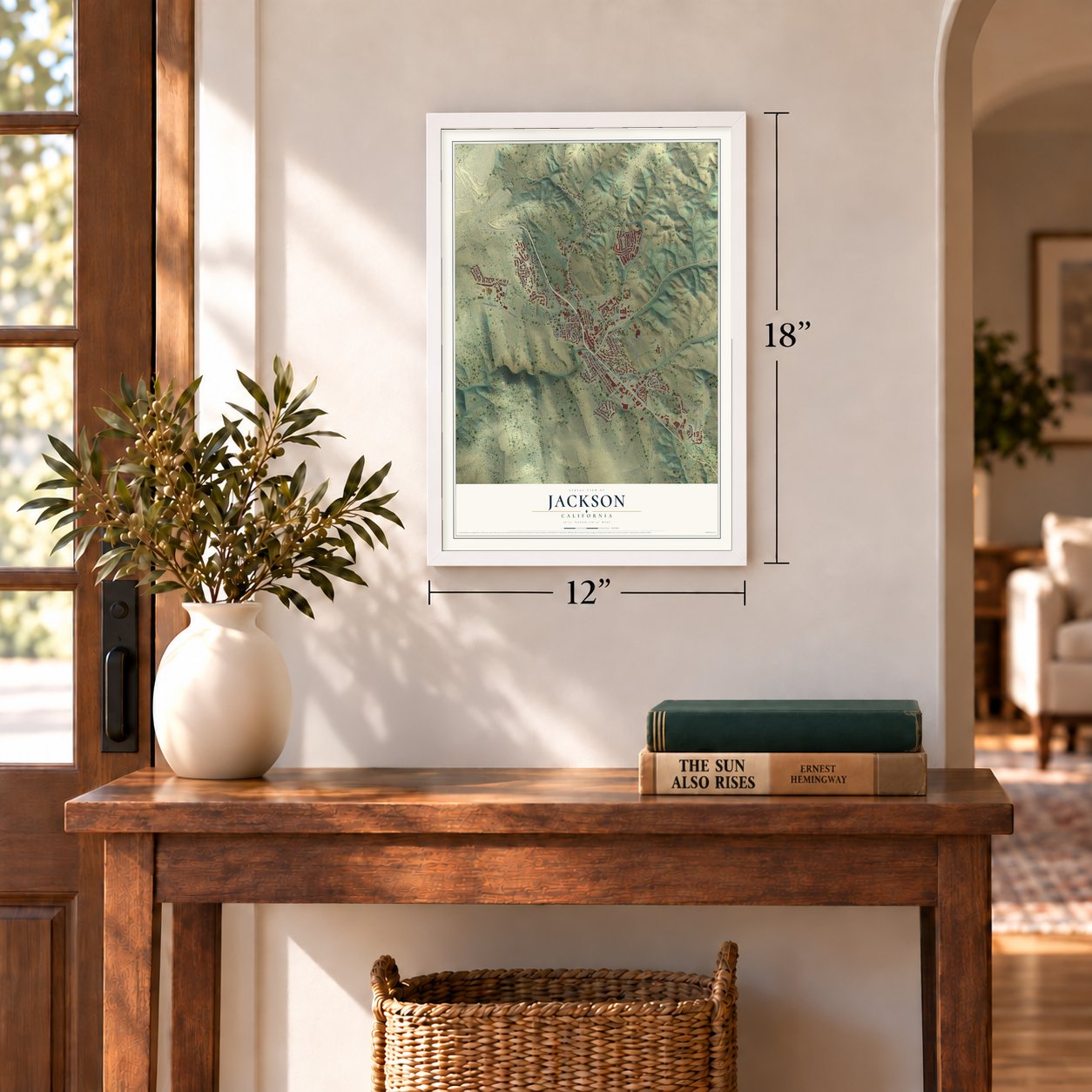
Three ways to hang it
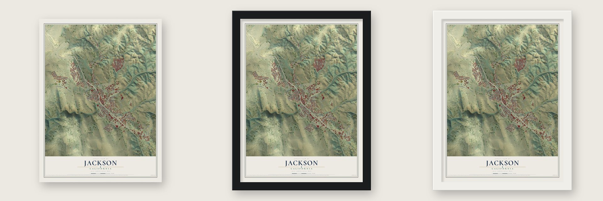
Unframed archival matte, a black wood frame or a white wood frame.
Up close
Geography Worth Displaying
This map was created using accurate cartographic data and authoritative geographic sources, including the U.S. Geological Survey and the Census Bureau. The map brings together terrain, waterways, roads, and building detail. The majority of the streets are labeled, houses are accurately depicted, and the topography is derived from government sources. Combining local data with carefully composed color and shading leads to this beautifully detailed Jackson artwork for your wall.
Rather than simply showing street outlines, we’ve included as many of the street names as we could reasonably fit on the map while keeping their names legible. Zoom in on the high resolution preview to see exactly what’s on the map. We truly set out to create a statement piece for anyone who loves Jackson. So whether it’s for you, or a gift for someone you love, we hope this map of Jackson brings back fond memories.
Read the story behind this map of Jackson, California from 2026.
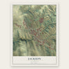
Find your street
Names on the Jackson map
Every name below is printed on this map. Look for your street, your school, the park where you played, or the pond down the road.
Places and landmarks1
- Scottsville
Streets and roads99
- Sutter Street
- North Main Street
- Jackson Gate Road
- Main Street
- Buffington Street
- Alpine Street
- French Bar Road
- Folger Street
- Perry Street
- Anita Street
- Argonaut Street
- Walnut Street
- Broadway
- New York Ranch Road
- Hoffman Street
- Argonaut Drive
- Clinton Road
- Court Street
- Thomas Drive
- Fuller Lane
- Argonaut Lane
- Mission Boulevard
- Scottsville Drive
- Buena Vista Drive
- Topaz Circle
- Spunn Road
- Vogan Toll Road
- Westview Drive
- Church Street
- Sierra Place
Show all 99 streets
- Amador Street
- Bright Avenue
- Park Drive
- Placer Drive
- China Graveyard Road
- Water Street
- Goldstone Avenue
- South Avenue
- Center Street
- Pitt Street
- Frontier Drive
- Emerald Lane
- Endicott Avenue
- Stoney Creek Road
- Circle Drive
- Summit Street
- Ponderosa Street
- Allen Street
- Evergreen Place
- Huberty Way
- Hill Drive
- Hillside Place
- Wella Hill Drive
- Stasal Avenue
- East Lane
- Pine Street
- Hill Street
- Ranch Lane
- Peek Street
- Granite Lane
- Quartz Circle
- Mattley Street
- Pioneer Street
- Arroyo Place
- Stark Lane
- Kern Street
- Rose Lane
- Detert Lane
- Tyack Lane
- Mill Place
- Oak Street
- Raggio Road
- Rex Avenue
- East Sierra View Drive
- Ridgecrest Drive
- Gordon Place
- Shopping Circle
- Terrace View Circle
- Chele Drive
- Michelle Drive
- Paul Giurlani
- Sierra Street
- Mason Street
- Village Glen Court
- North Pioneer Circle
- Pioneer Circle
- West Sierra View Drive
- Boarman Street
- Marcucci Lane
- McGee Street
- Erinn Place
- Eva Way
- South Pioneer Circle
- El Dorado Way
- Marina Place
- North Street
- Tunnel Hill Way
- Nevill Court
- Terry Place
Names are listed as they appear on the printed map. Zoom into the product photos to find them.
About Jackson, California
Jackson is a city of 5,019 people and the county seat of Amador County, in the Sierra foothills along Jackson Creek. The camp began in 1848 around a spring that ran all year, and it went by names like Botilleas and Bottle Spring before taking the name of Colonel Alden Jackson, a lawyer popular with the miners. Gold brought the first American settlers, and because the camp also sat on the route linking Sacramento with the Southern Mines, it grew into a supply and transportation center for its neighbors. About 1,500 people lived here by 1850.
Jackson was the county seat of Calaveras County from 1851 to 1852, and in 1854 it became the seat of the newly formed Amador County. When the placer gold gave out in the 1860s, hard rock mining took its place and kept the town working for decades. That ended in October 1942, when a War Production Board order shut down California gold mining, since the nation wanted its men for the war effort and did not count gold as a strategic metal.
“The Order of Native Daughters of the Golden West was organized on these premises, the site of the Pioneer Hall, on September 11, 1886.”
- North America's deepest gold mineThe Kennedy Mine started work in 1860. By the time it closed during World War II in 1942, its shafts reached 5912 feet down, deeper than any other gold mine in North America. Together with the Argonaut, it is California Historical Landmark No. 786.
- The Argonaut fire of 1922On August 27, 1922, fire broke out in the Argonaut mine and trapped 47 miners underground. None of them survived, and searchers did not bring out the last body for more than a year. It remains the worst gold mine disaster in U.S. history. Argonaut High School, the town's only high school, is named for the mine.
- The Mother Lode's first synagogueCongregation B'nai Israel dedicated the first synagogue in the Mother Lode here on September 18, 1857. Holy day services were held in it until 1869, when the congregation outgrew it and moved to the larger Masonic Hall. The wooden building served as a schoolhouse until 1888, then was moved to a nearby lot and lived in as a home until it was torn down in 1948. The congregation's cemetery was in use from 1857 to 1921.
- The first ditch at Jackson GateJackson Gate took its name from a gap in a rock reef that crosses the north fork of Jackson Creek. In 1850 about 500 miners worked there, and they dug the first mining ditch in the county, selling its water for $1 per inch.
Keep exploring California
Jackson is one of 1,990 California towns we've mapped. Every dot on the map is a print of its own.
The search covers every state, California first.
Near Jackson
Order 2 or more town maps and save 10%. Shown in the size and finish you picked above, so they hang as a set.
- Martell 12" x 18" / Archival Matte Print $39.99
- Sutter Creek 12" x 18" / Archival Matte Print $39.99
- Mokelumne Hill 12" x 18" / Archival Matte Print $39.99
More maps nearby: Amador City, Paloma, Pine Grove, Drytown and Buena Vista.
The art of mapping a place
How This Map Was Made
Real places. Remarkable detail. Discover the layers that turn geographic data into a map of home.

The view from above
Aerial imagery reveals the character of the land: woodland, open fields, and the patterns of a place.

The shape of the land
Elevation data brings hills, valleys, and subtle changes in the landscape into view.

The details of home
Roads, waterways, and building footprints come together to make the map feel unmistakably local.

Geography becomes art
Considered color, shading, and typography bring the layers together in a map made for your wall.


Process illustrated with Mendon, Massachusetts. Aerial imagery: USDA NAIP. Terrain: USGS 3D Elevation Program. Map details and finished artwork: KNOWOL.
The Details
About This Print
Choose an archival matte print, or a black or white Ayous wood frame. The archival matte print is unframed.
Select your size and finish above to see the matching product image and price.
Materials & Craftsmanship
A contemporary map with the character of a classic atlas, printed on archival matte paper. Optional frames are made from Ayous wood.
Your printed map does not include the watermark shown in the full-map preview.
Shipping & Delivery
Free shipping within the United States. Every print is made to order in the USA.
Buying a gift? Add a note in your cart and we'll include it. We never put prices in the package.
Prints ship within 2 to 3 business days. Allow 7 to 10 days total from ordering for delivery. Timing may vary during holidays or periods of high order volume.
Read our shipping policy.
Returns and damaged prints
Each print is made to order. Change-of-mind refunds are not available after production.
If your print arrives damaged, misprinted or incorrect, contact support@knowol.com within 30 days of receiving it. Include your order number, photos and a description of the issue.
Read our full refund and replacement policy. For questions about your order, email support@knowol.com.