
Search for another town
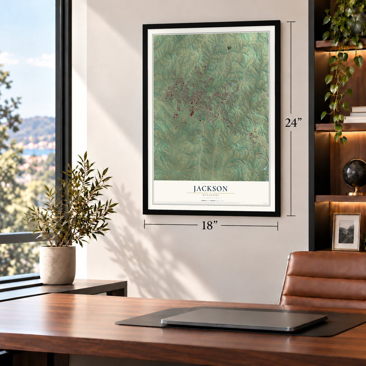
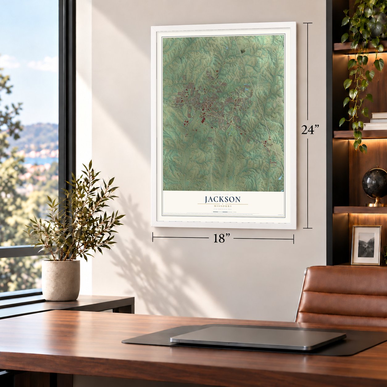
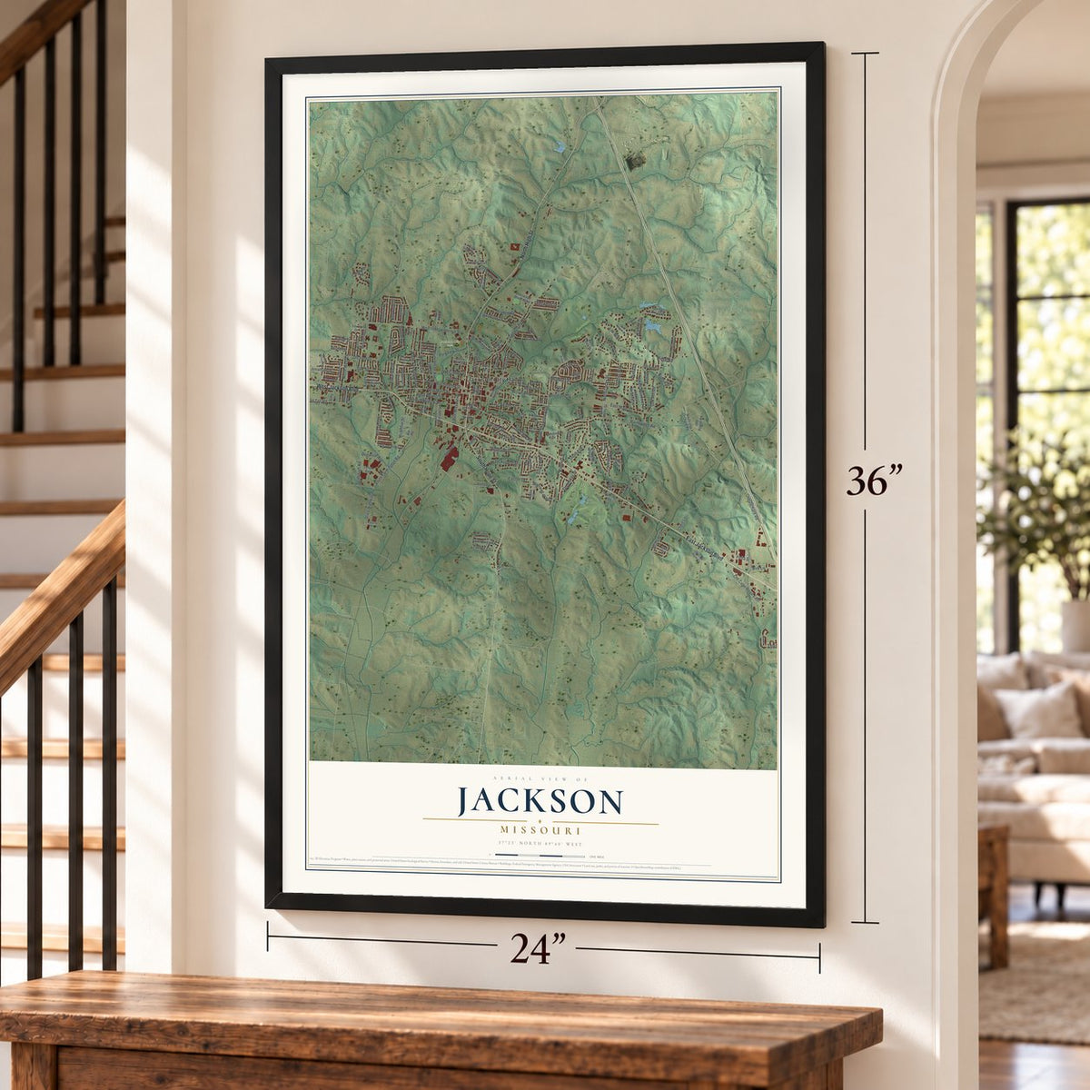
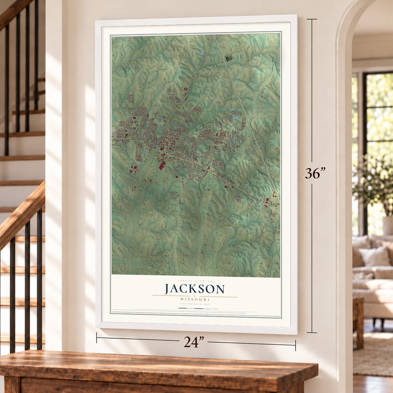
Free U.S. delivery 7 to 10 days after you order
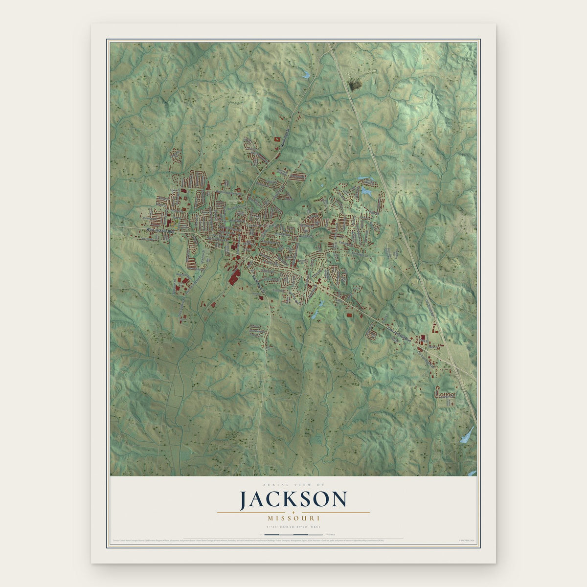
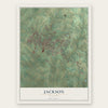
Jackson, Missouri Map Art
Building by building, with labeled streets and shaded relief.
12" x 18" Archival Matte Print
A Map of Home. A Work of Art.
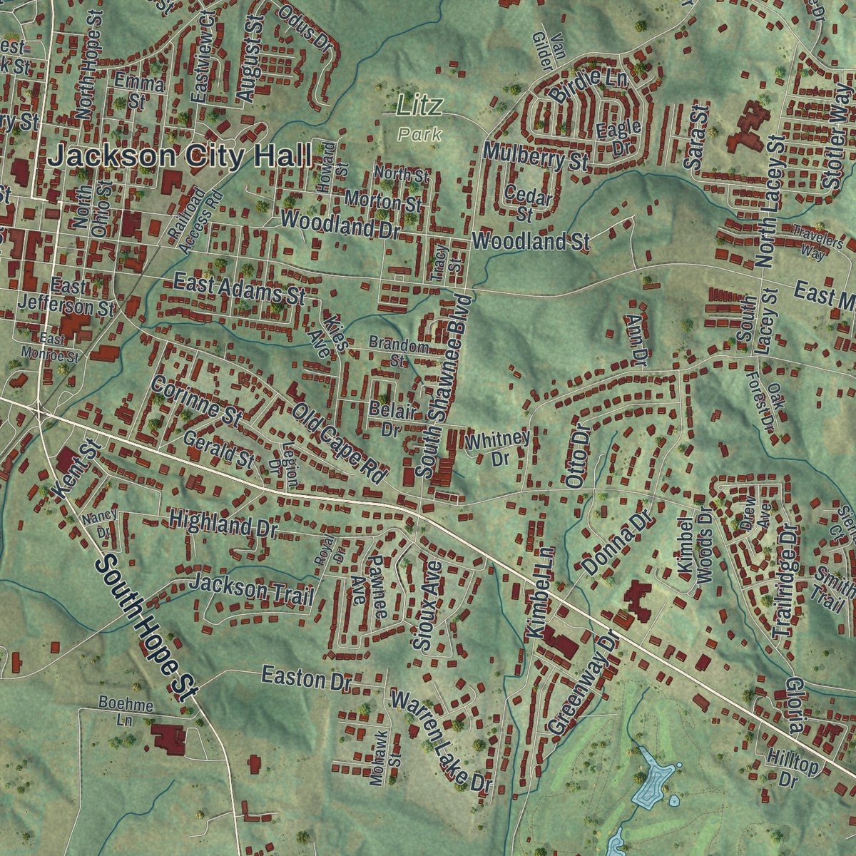
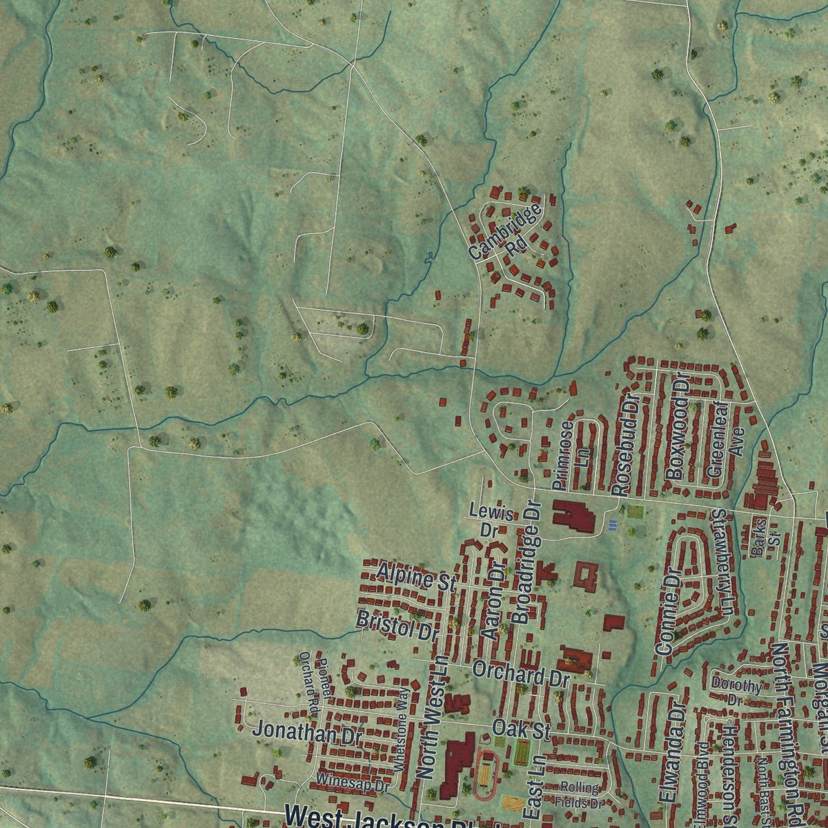
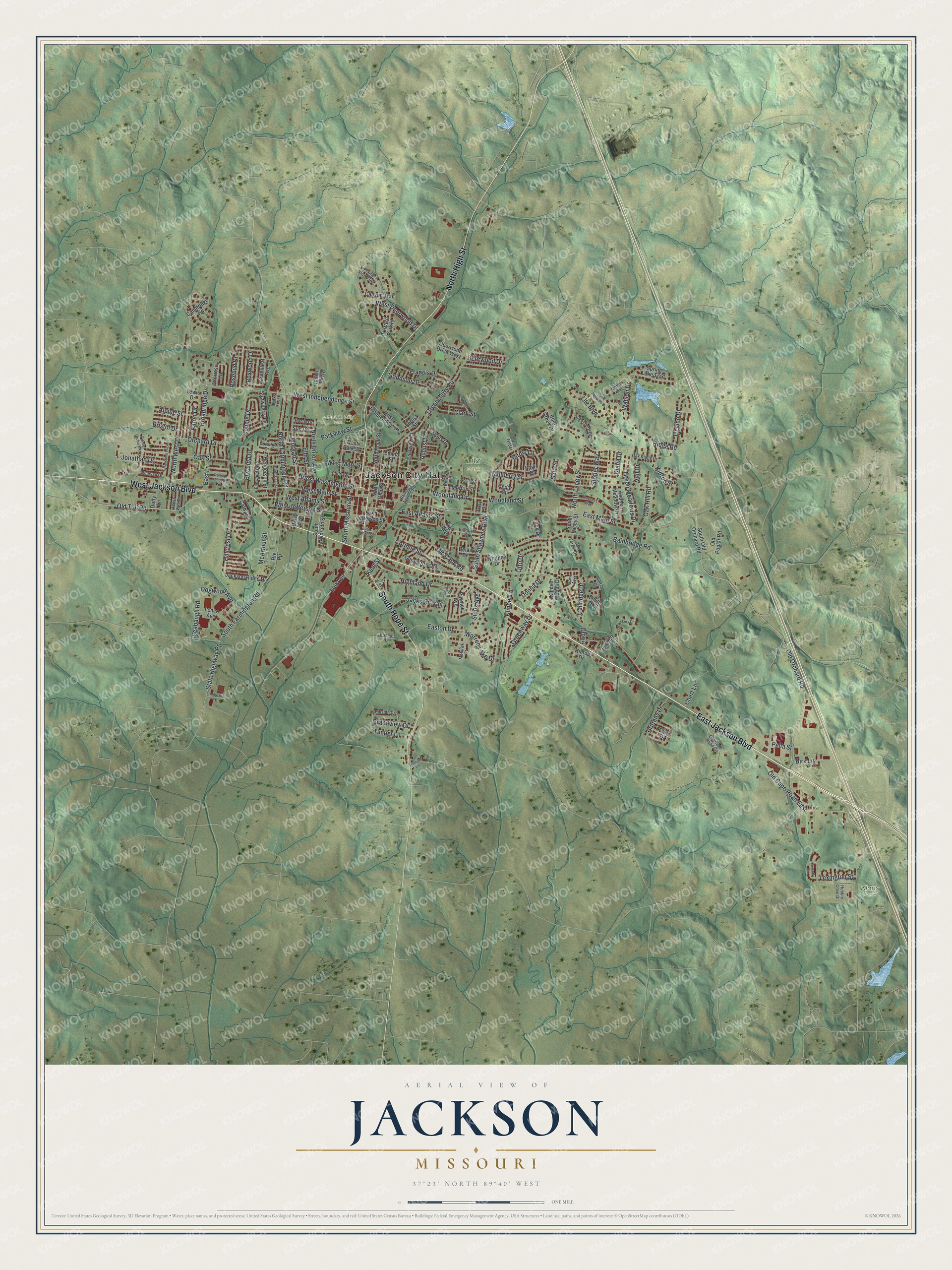
Explore Jackson, Missouri from a whole new perspective. Created using aerial imagery and detailed geographic data, this map captures Jackson building by building, with labeled streets, familiar landmarks, and shaded topographical relief that highlights the natural contours of the landscape.
Combining modern data with the timeless character of a vintage atlas, this map is just as interesting up close as it is beautiful on the wall. Whether you grew up in Jackson, spent memorable years there, or call it home today, this unique map is a great way to celebrate a place that means something to you. Zoom in on the preview to look for your street, and then order a print to put your memories on the wall.
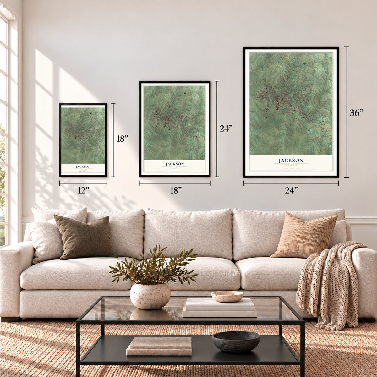
Three ways to hang it
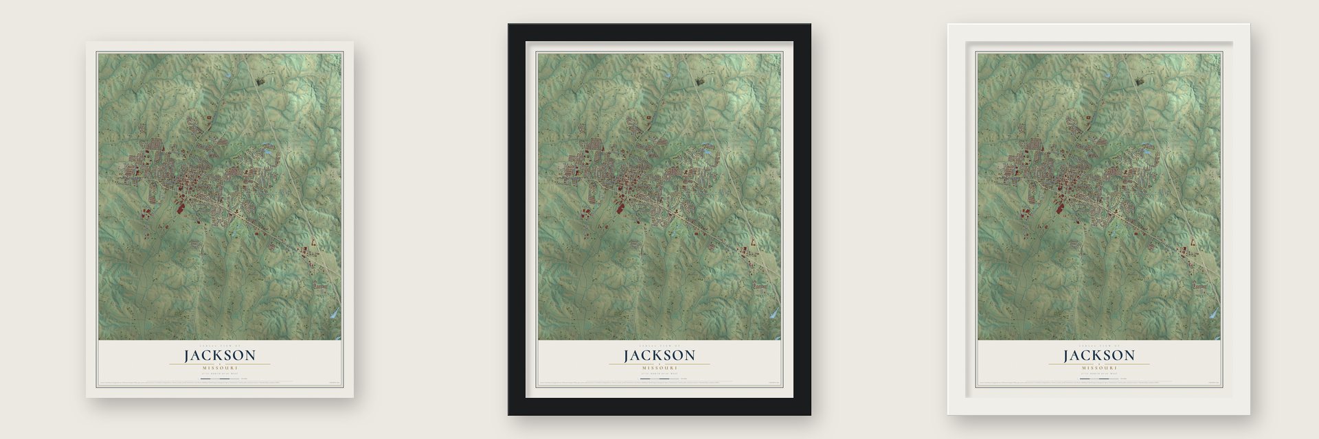
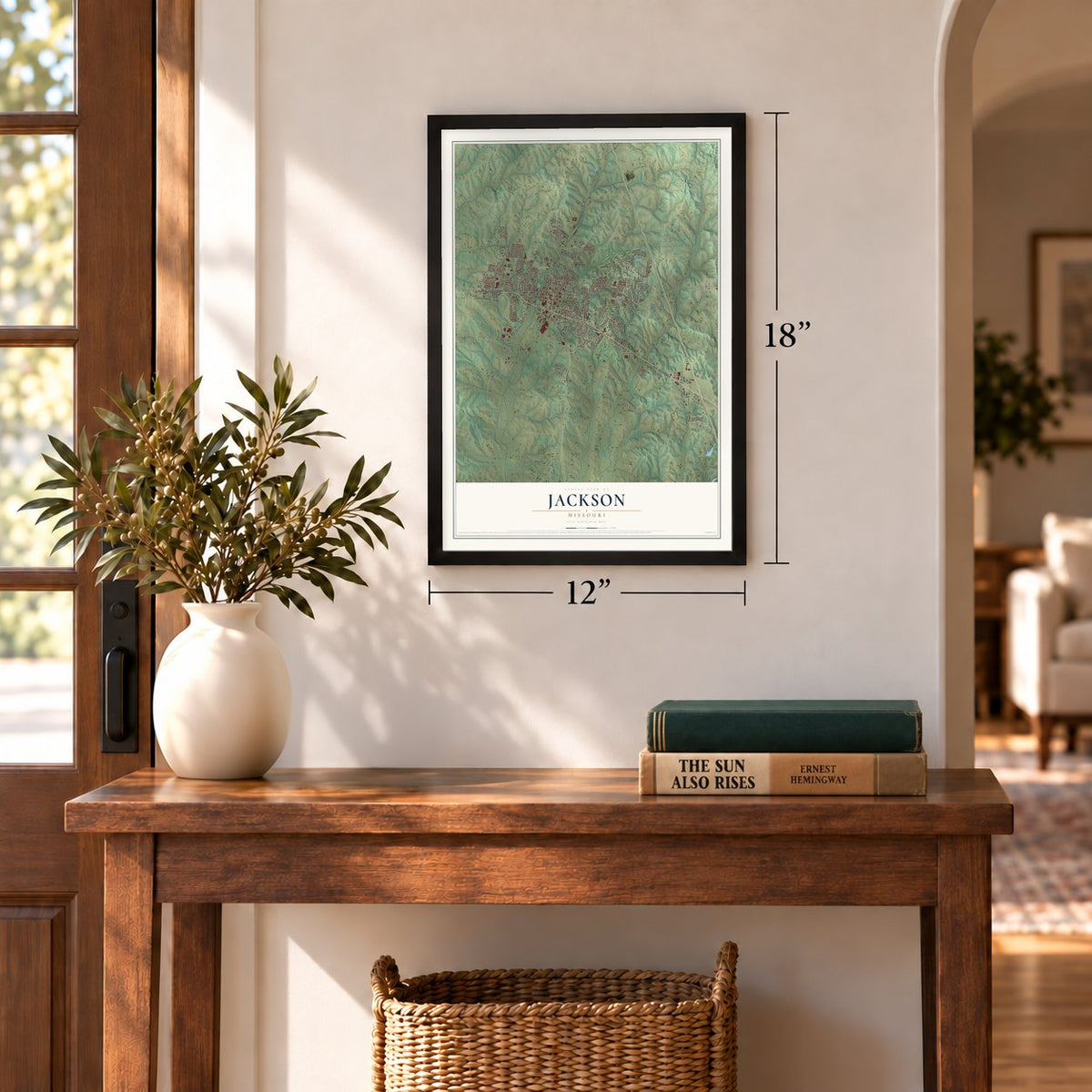
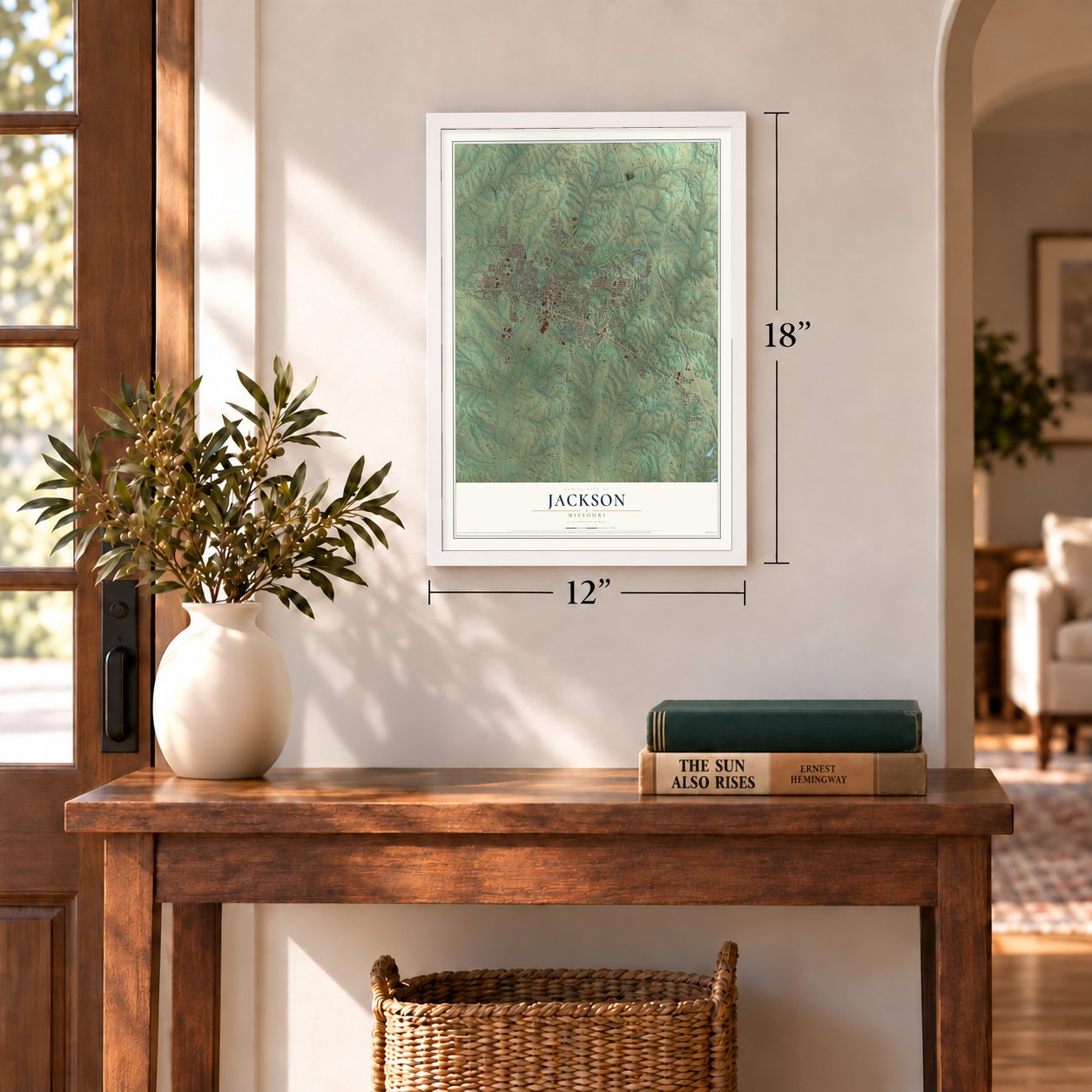
Unframed archival matte, a black wood frame or a white wood frame.
Up close
Geography Worth Displaying
This map was created using accurate cartographic data and authoritative geographic sources, including the U.S. Geological Survey and the Census Bureau. The map brings together terrain, waterways, roads, and building detail. The majority of the streets are labeled, houses are accurately depicted, and the topography is derived from government sources. Combining local data with carefully composed color and shading leads to this beautifully detailed Jackson artwork for your wall.
Rather than simply showing street outlines, we’ve included as many of the street names as we could reasonably fit on the map while keeping their names legible. Zoom in on the high resolution preview to see exactly what’s on the map. We truly set out to create a statement piece for anyone who loves Jackson. So whether it’s for you, or a gift for someone you love, we hope this map of Jackson brings back fond memories.
Read the story behind this map of Jackson, Missouri from 2026.
Find your street
Names on the Jackson map
Every name below is printed on this map. Look for your street, your school, the park where you played, or the pond down the road.
Places and landmarks4
- Jackson City Hall
- Jackson City Park
- Klaus Park
- Litz Park
Streets and roads174
- East Jackson Boulevard
- West Jackson Boulevard
- North High Street
- South Hope Street
- Old Orchard Road
- Woodland Drive
- Bainbridge Road
- West Mary Street
- West Jefferson Street
- Stotler Way
- East Main Street
- Old Cape Road
- Ridge Road
- Oak Street
- South Farmington Road
- State Highway Pp
- Greensferry Road
- North Farmington Road
- West Independence Street
- Lee Avenue
- Old Cape Road East
- Watson Drive
- Jackson Trail
- Old Toll Road
- Highland Drive
- West Main Street
- Oak Hill Road
- West Adams Street
- East Adams Street
- Morgan Street
Show all 174 streets
- West Washington Street
- Donna Drive
- Kimbel Lane
- Mulberry Street
- South Shawnee Boulevard
- North West Lane
- Green Meadows Drive
- Parkview Street
- Broadridge Drive
- North Union Avenue
- North Lacey Street
- Otto Drive
- Corinne Street
- Hillcrest Drive
- Francis Drive
- Diana Drive
- West Deerwood Drive
- Connie Drive
- Easton Drive
- Dogwood Avenue
- Goodson Drive
- Trevino Drive
- Orchard Drive
- Seabaugh Road
- Woodland Street
- Trailridge Drive
- Elwanda Drive
- Jonathan Drive
- South Missouri Street
- East Lane
- Brittany Drive
- Alpine Street
- Lexington Street
- August Street
- Litz Boulevard
- Warren Lake Drive
- Clark Street
- Grandview Drive
- Elm Street
- Boxwood Drive
- Greenway Drive
- Rosebud Drive
- Deerwood Drive
- Chert Lane
- Timber Lane
- McArthur Street
- Aaron Drive
- Birdie Lane
- Birk Lane
- Vail Drive
- Sioux Avenue
- Kidron Street
- Bristol Drive
- Sara Street
- Kent Street
- Pella Street
- Gloria
- South Old Orchard Road
- South Colorado Street
- Eastview Court
- East Jefferson Street
- Emma Street
- Strawberry Lane
- North Hope Street
- Deerwood Drive West
- North Ohio Street
- Cathy Drive
- Gerald Street
- East Independence Street
- Morton Street
- Odus Drive
- Eagle Drive
- Jackson Ridge Drive
- Kies Avenue
- Bent Creek Drive
- Spring Lake Trail
- Kimbel Woods Drive
- Hidden Meadow Drive
- Lenco Avenue
- Daisy Avenue
- Hilltop Drive
- Smith Trail
- Canyon Trail
- Greenleaf Avenue
- Henderson Street
- Pawnee Avenue
- Cambridge Road
- Terrace Park Place
- Belair Drive
- Indian Parkway
- Old Poplar Road
- June Lane
- Cedar Street
- Primrose Lane
- Dotty Lane
- South Lacey Street
- Dana Drive
- Forest Street
- West Park Street
- Sue Drive
- Whitney Drive
- Lewis Drive
- Ann Drive
- Route Pp
- Hillside Drive
- Railroad Access Road
- Old Cape Road Circle
- Prairie View Trail
- Lakeshore Drive
- Mohawk Street
- Brandom Street
- Elmwood Boulevard
- Winesap Drive
- Boehme Lane
- North Street
- Barks Street
- Oak Ridge Drive
- Howard Street
- Drew Avenue
- Dorothy Drive
- West Vale Drive
- Sierra Court
- Oak Forest Drive
- Randy Drive
- Cherry Street
- Palmer Drive
- Hubble Cove Drive
- Legion Drive
- Tracy Street
- Van Gilder
- East Monroe Street
- Pioneer Orchard Road
- Whetstone Way
- Travelers Way
- Old Hickory Drive
- North Bast Street
- Rolling Fields Drive
- Saint Andrews Drive
- Nancy Drive
- Royal Drive
- Hannah Street
- Titanium Lane
- Industrial Drive
- Coventry Drive
Names are listed as they appear on the printed map. Zoom into the product photos to find them.
About Jackson, Missouri
Jackson is a city of 15,481 people and the county seat of Cape Girardeau County, about seven miles northwest of Cape Girardeau. In 1813 Cape Girardeau County took the place of the old district, and its new courts needed a home. They first met on Thomas Bull's plantation, a mile and a half south of today's town. In 1814 the county bought land beside Hubble Creek for its seat. The town was platted in 1815, had 300 people by 1818, and raised its first courthouse on the public square that year.
Cholera killed 128 people in June 1833. When it struck again on June 10, 1852, everyone able to leave fled until it had passed. A bank opened in 1841, and flour mills followed in 1855 and 1873. On June 24, 1861, Union and Confederate units fought a skirmish near Jackson. In 1877 Missouri's first long-distance rail line tied the town to Cape Girardeau. By 1884 Jackson had 2,105 people and 50 businesses, and that year voters made it a city of the fourth class.
- Named for Andrew JacksonThe place was called Birdstown when its first post office opened in 1814. Locals proposed Ashley, Byrd and Lorimier, all names of prominent men nearby. Because the town began just after the Battle of New Orleans, it honored Andrew Jackson instead. The name became official on August 31, 1819, and Jackson was the first town named for him.
- Missouri's third newspaperThe Missouri Herald began printing in Jackson on June 25, 1819, only the third newspaper in the state. Today the town reads The Cash-Book Journal.
- The courthouse on the squareThe courthouse of 1818 burned in 1870. Its replacement went up in 1908 on the square in Uptown Jackson, where Jones Drug Store has been open since 1871.
Keep exploring Missouri
Jackson is one of 1,207 Missouri towns we've mapped. Every dot on the map is a print of its own.
The search covers every state, Missouri first.
Near Jackson
Order 2 or more town maps and save 10%. Shown in the size and finish you picked above, so they hang as a set.
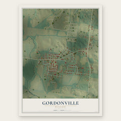
- Gordonville 12" x 18" / Archival Matte Print $39.99
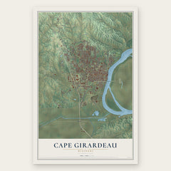
- Cape Girardeau 12" x 18" / Archival Matte Print $39.99
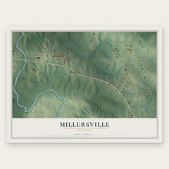
- Millersville 12" x 18" / Archival Matte Print $39.99
More maps nearby: Dutchtown, Pocahontas, Burfordville, Oak Ridge and Shawneetown.
The art of mapping a place
How This Map Was Made
Real places. Remarkable detail. Discover the layers that turn geographic data into a map of home.

The view from above
Aerial imagery reveals the character of the land: woodland, open fields, and the patterns of a place.

The shape of the land
Elevation data brings hills, valleys, and subtle changes in the landscape into view.

The details of home
Roads, waterways, and building footprints come together to make the map feel unmistakably local.

Geography becomes art
Considered color, shading, and typography bring the layers together in a map made for your wall.


Process illustrated with Mendon, Massachusetts. Aerial imagery: USDA NAIP. Terrain: USGS 3D Elevation Program. Map details and finished artwork: KNOWOL.
The Details
About This Print
Choose an archival matte print, or a black or white Ayous wood frame. The archival matte print is unframed.
Select your size and finish above to see the matching product image and price.
Materials & Craftsmanship
A contemporary map with the character of a classic atlas, printed on archival matte paper. Optional frames are made from Ayous wood.
Your printed map does not include the watermark shown in the full-map preview.
Shipping & Delivery
Free shipping within the United States. Every print is made to order in the USA.
Buying a gift? Add a note in your cart and we'll include it. We never put prices in the package.
Prints ship within 2 to 3 business days. Allow 7 to 10 days total from ordering for delivery. Timing may vary during holidays or periods of high order volume.
Read our shipping policy.
Returns and damaged prints
Each print is made to order. Change-of-mind refunds are not available after production.
If your print arrives damaged, misprinted or incorrect, contact support@knowol.com within 30 days of receiving it. Include your order number, photos and a description of the issue.
Read our full refund and replacement policy. For questions about your order, email support@knowol.com.