
Search for another town



Free U.S. delivery 7 to 10 days after you order
Jasper, Alabama Map Art
A new map of Jasper, Alabama, made in 2026 and printed to order on thick archival matte paper.
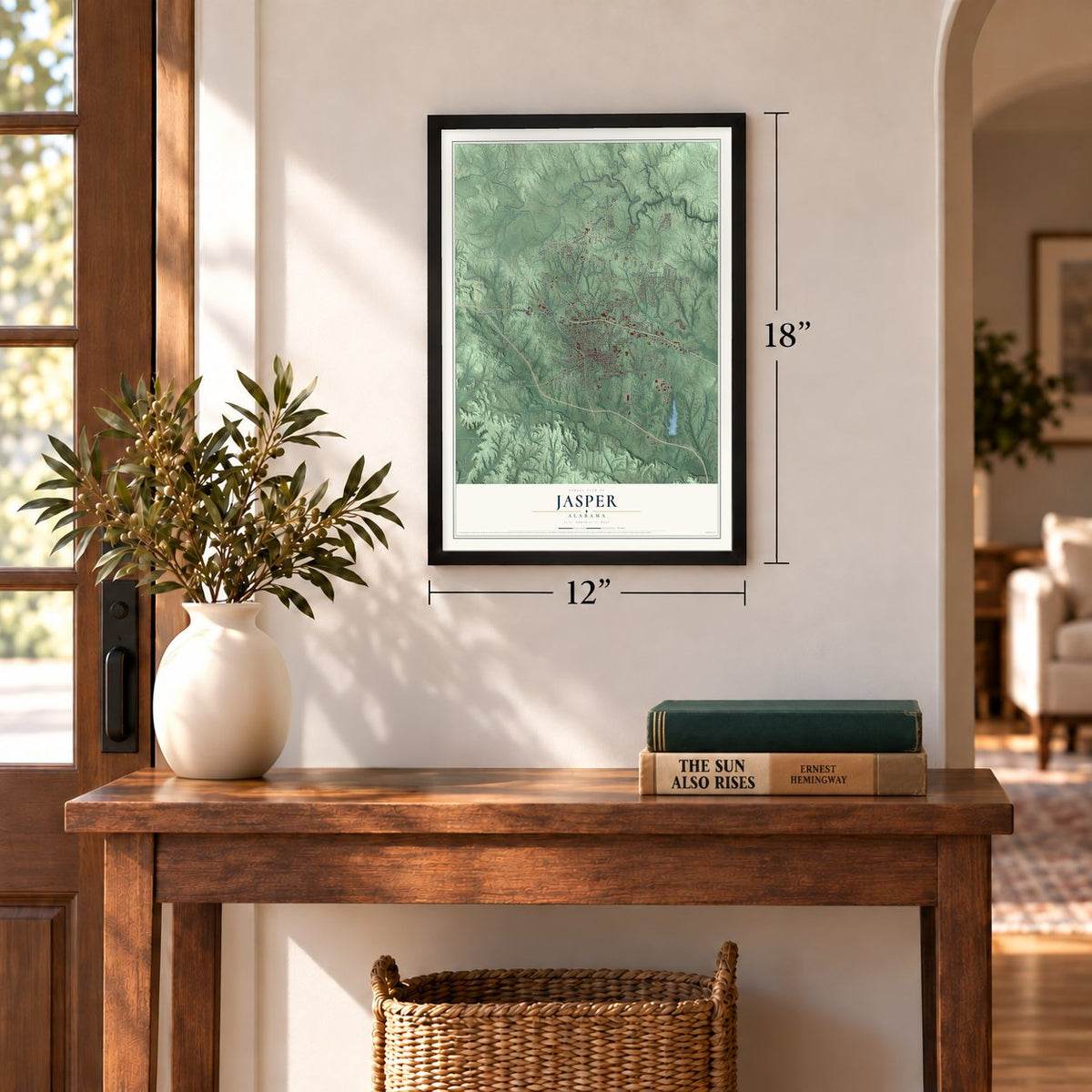
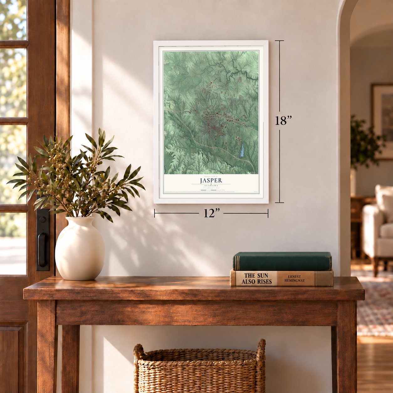
12" x 18" Archival Matte Print
A Map of Home. A Work of Art.
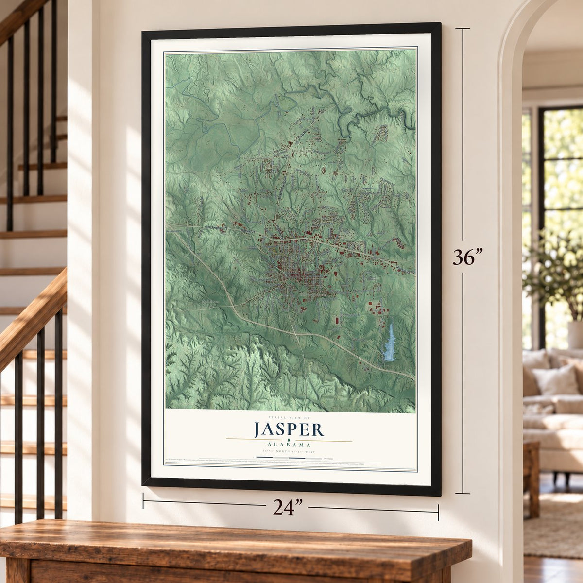
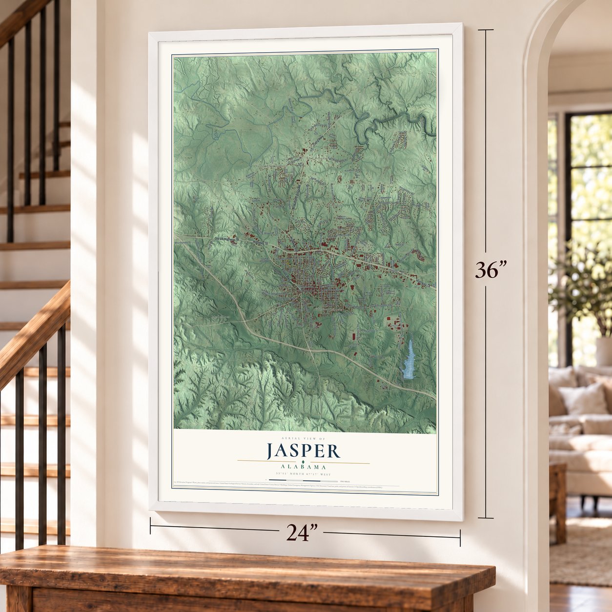
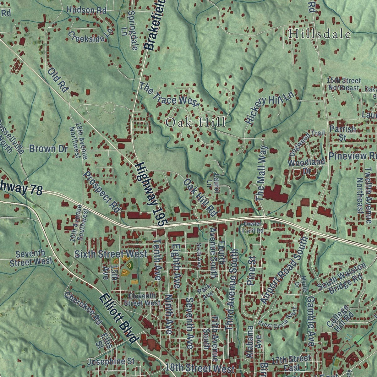
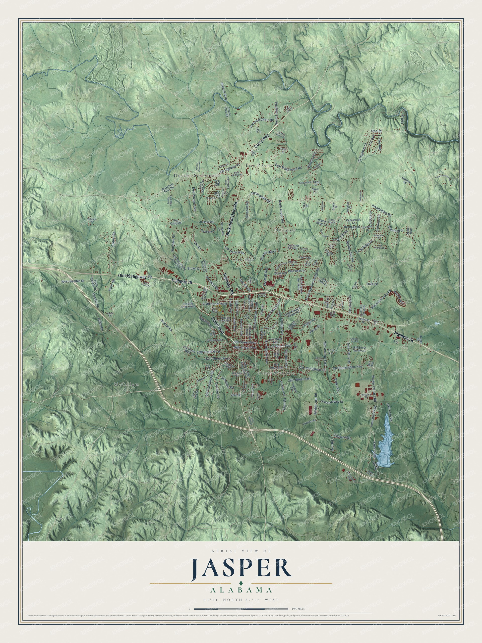
Explore Jasper, Alabama from a whole new perspective. Created using aerial imagery and detailed geographic data, this map captures Jasper building by building, with labeled streets, familiar landmarks, and shaded topographical relief that highlights the natural contours of the landscape.
Combining modern data with the timeless character of a vintage atlas, this map is just as interesting up close as it is beautiful on the wall. Whether you grew up in Jasper, spent memorable years there, or call it home today, this unique map is a great way to celebrate a place that means something to you. Zoom in on the preview to look for your street, and then order a print to put your memories on the wall.
Three ways to hang it
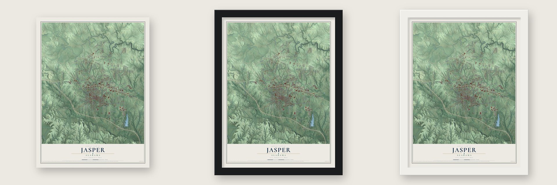
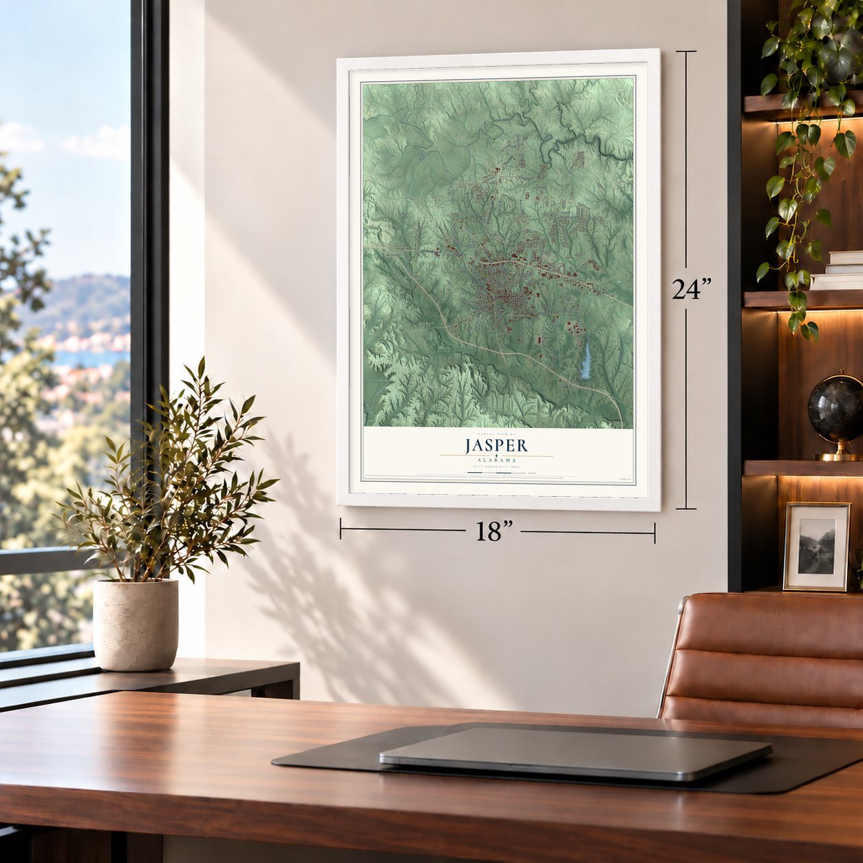
Unframed archival matte, a black wood frame or a white wood frame.
Up close
Geography Worth Displaying
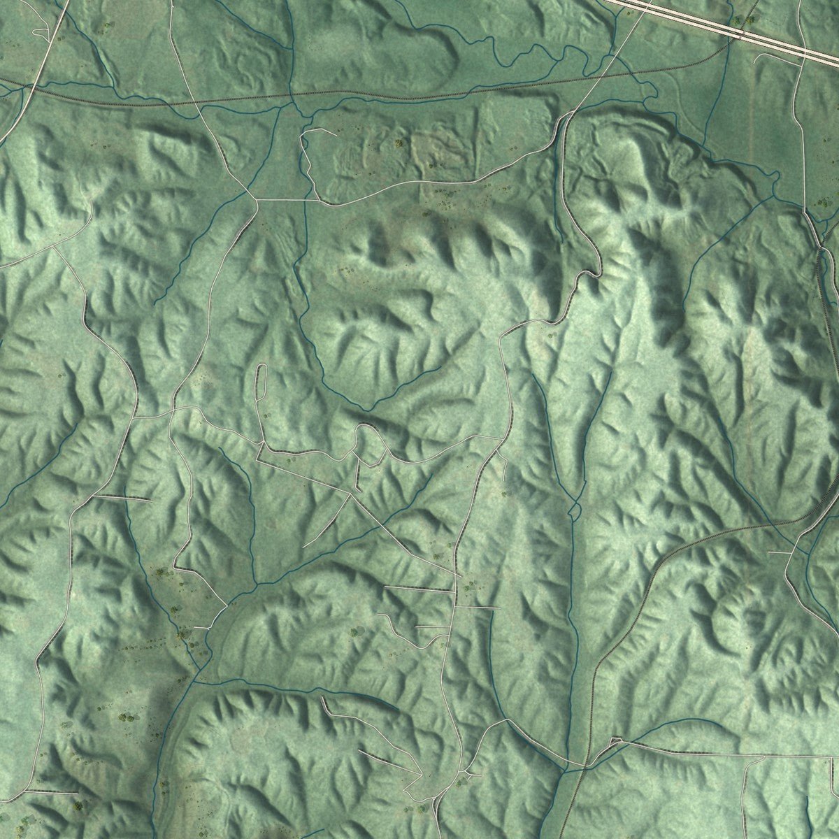
This map was created using accurate cartographic data and authoritative geographic sources, including the U.S. Geological Survey and the Census Bureau. The map brings together terrain, waterways, roads, and building detail. The majority of the streets are labeled, houses are accurately depicted, and the topography is derived from government sources. Combining local data with carefully composed color and shading leads to this beautifully detailed Jasper artwork for your wall.
Rather than simply showing street outlines, we’ve included as many of the street names as we could reasonably fit on the map while keeping their names legible. Zoom in on the high resolution preview to see exactly what’s on the map. We truly set out to create a statement piece for anyone who loves Jasper. So whether it’s for you, or a gift for someone you love, we hope this map of Jasper brings back fond memories.
Read the story behind this map of Jasper, Alabama from 2026.

About Jasper, Alabama
Jasper is a city of 14,572 people and the county seat of Walker County, in north-central Alabama. Settlers arrived around 1815, and the town took the name of Sgt. William Jasper, a hero of the Revolutionary War. E. D. Musgrove, its first settler, gave the county land for a town on one condition: Jasper had to be the county seat.
Jasper was incorporated on August 18, 1886. That year the Kansas City-Memphis Railroad finished a line through town, and the Sheffield and Birmingham Railroad added a second in 1888. With two railroads, the town's population rose from 200 people in 1886 and passed 3,000 by 1890, and coal mines, coke ovens and sawmills became its main work.
- A courthouse that kept burningDuring the Civil War, Union troops on Wilson's Raid passed through on their way to Selma. They set fire to Jasper's courthouse and several other buildings and took supplies from nearby farms. Fire took the courthouse again in 1877, 1878 and 1884, and the brick building put up to replace it was lost in 1886. A granite courthouse costing $150,000 was finished in 1907, and even it was badly damaged by fire in 1932.
- Coal and coke in 1891In 1891 the Mountain Eagle, a Democratic weekly founded in 1872, put out a special edition that took stock of the growing town. It counted six coal mines, 400 coke ovens and two sandstone quarries, along with two sawmills, a brick works, a foundry and machine shop, four hotels and two banks.
- Rebuilt after 1920Fire swept through much of downtown Jasper on December 1, 1920, but the business district was rebuilt quickly. Walker County Hospital was finished in 1923 and joined the National Register in 1985. During the Great Depression, Works Progress Administration crews built the city auditorium and a county activities building, which is now the Walker County Library.
- The Speaker's funeral in 1940William Brockman Bankhead represented Alabama in Congress from 1917 until 1940, the last four years as the 47th Speaker of the House. His daughter, the actress Tallulah Bankhead, married in his Jasper home on August 31, 1937. After he died on September 15, 1940, President Franklin Roosevelt and a large party of dignitaries, including future President Harry S. Truman, came to Jasper for the funeral and burial. The William Brockman Bankhead House joined the National Register in 2022.
- Carl Elliott's Jasper yearsCarl Elliott, born in Franklin County, made his home in Jasper from 1945. In Congress, his Library Services Act of 1956 carried books to readers in rural counties across the country. At home he practiced law and compiled the five-volume Annals of North Alabama, and in 1990 he became the first person ever to win the Profile in Courage Award named for John F. Kennedy.
Find your street
Names on the Jasper map
Every name below is printed on this map. Look for your street, your school, the park where you played, or the pond down the road.
Places and landmarks6
- Five Points
- Frisco Quarters
- Hillsdale
- Hudson Settlement
- McCollum
- Oak Hill
Streets and roads200
- Elliott Boulevard
- Curry Highway
- Brakefield Dairy Road
- Highway 78
- Highway 195
- Old US Highway 78
- Viking Drive
- County Highway 41
- Birmingham Avenue
- 20th Street West
- The Mall Way
- Airport Road South
- North Airport Road
- 19th Street East
- South Lowell Road
- Industrial Parkway
- Ninth Avenue
- 19th Street West
- Samaria Road
- County Highway 51
- North Walston Bridge Road
- Third Avenue
- Third Avenue South
- Arkadelphia Road
- Old Birmingham Highway
- Seventh Avenue
- Hillsdale Road
- New Prospect Road
- Whitehouse Road
- West Gamble Drive
Show all 200 streets
- Walker Co Lake Road
- East Ridgewood Road
- Tenth Avenue
- Lakewood Drive
- Florida Avenue
- Gamble Avenue
- Highland Avenue
- 20th Avenue East
- Jones Dairy Road
- Bluecut Road
- Sixth Street West
- The Trace West
- Moon Road
- 29th Street East
- Blackwell Dairy Road
- South Ridge Road
- Crescent Circle Drive
- Eighth Avenue
- Cooner Road
- East Lake Road
- Gamble Road
- 18th Street West
- Oakridge Drive
- Calumet Road
- Valley Road
- Pleasantway Drive
- Shades Cliff Road
- Butler Road
- Old Tuscaloosa Road
- Heritage Drive
- Oak Hill Road
- Pineview Road
- Long Ridge Drive
- Simmons Road
- Lenwood Drive
- 22nd Street West
- Hickory Hill Lane
- Briar Cliff Road
- Cliff Drive
- Redmill Boulevard
- Studdard Road
- Turkey Run
- Prospect Road
- Brown Drive
- Halal Street
- Lollar Road
- Pine Street
- Evans Lane
- Cain Road
- Fox Run
- Old Road
- Plant Road
- Tate Road
- 33rd Street
- Alabama Avenue
- Coral Boulevard
- Coral Road
- Country Club Road
- West Lake Road
- Josephine Street
- South Walston Bridge Road
- 36th Avenue
- 21st Street West
- Old Russellville Road North
- Indiana Avenue
- Hudson Road
- Fifth Avenue South
- South Gamble Road
- Euclid Avenue
- Martin Luther King Junior Drive
- Seventh Street West
- Coal City Road
- 19th Street Southeast
- Creekside Lane
- Fourth Avenue South
- 15th Avenue
- Fernway Drive
- Twelfth Avenue Northeast
- Shererwood Drive
- Emma Lane
- Meadow Way
- College Hill Road
- Ridgebrook Drive
- Glen Oaks Drive
- 17th Street East
- Cedarbrook Lane
- Fairoaks Drive
- 25th Street East
- Hidden Ridge Lane
- Cherokee Road
- Lawson Road
- Woodland Drive
- Veterans Drive
- Medical Center Drive
- Springdale Lane
- Deer Street
- Laurin Street
- Key Camp Road
- Charter Road
- Woodley Drive
- Knight Road
- Parrish Street
- Gilmore Road
- Audie Boulevard
- Pernie Drive
- Artie Lane
- Grace Drive
- 22nd Avenue
- Sara Lane
- Sides Court
- Elks Drive
- Nuna Lane
- Ellis Street
- 18th Avenue Northwest
- 25th Street West
- 18th Avenue Southwest
- Wildwood Drive
- Snoddy Chapel Road
- Laurel Lane
- Eleventh Street West
- Shady Lane
- Ashwood Drive
- Dogwood Trail
- Rolling Meadows Drive
- 16th Avenue
- Old Branch Circle
- Industrial Drive
- Timberwood Lane
- 15th Street Northeast
- Carl Cannon Boulevard
- Falcon Drive
- Sunset Drive
- Charles Fox Road
- Quail Hollow Road
- Sharon Lane
- Williams Road
- Devon Drive
- Park Avenue
- Live Oak Place
- Emily Lane
- Jones Road
- Wise Drive
- Lindsey Drive
- Tommy Robinson Road
- Sixth Avenue South
- South Skyline Drive
- Corona Avenue
- Shadow Wood Drive
- Second Avenue
- Boardwalk Circle
- Crest Circle South
- Cherokee Drive
- Stone Ridge Drive
- 27th Street West
- Harrison Shipman Road
- Myrtle Drive
- Old Wood Lane
- Preston Avenue
- North Highland Boulevard
- Sixth Avenue
- Robinwood Drive
- Arrow Road
- Hidden Ridge Street
- Misty Hollow Drive
- Wildflower Lane
- Old Rock Quarry Road
- Fowler Field Road
- Oakview Street
- Bankston Drive
- Afton Way
Names are listed as they appear on the printed map. Zoom into the product photos to find them.
The art of mapping a place
How This Map Was Made
Real places. Remarkable detail. Discover the layers that turn geographic data into a map of home.

The view from above
Aerial imagery reveals the character of the land: woodland, open fields, and the patterns of a place.

The shape of the land
Elevation data brings hills, valleys, and subtle changes in the landscape into view.

The details of home
Roads, waterways, and building footprints come together to make the map feel unmistakably local.

Geography becomes art
Considered color, shading, and typography bring the layers together in a map made for your wall.


Process illustrated with Mendon, Massachusetts. Aerial imagery: USDA NAIP. Terrain: USGS 3D Elevation Program. Map details and finished artwork: KNOWOL.
The Details
About This Print
Choose an archival matte print, or a black or white Ayous wood frame. The archival matte print is unframed.
Select your size and finish above to see the matching product image and price.
Materials & Craftsmanship
A contemporary map with the character of a classic atlas, printed on archival matte paper. Optional frames are made from Ayous wood.
Your printed map does not include the watermark shown in the full-map preview.
Shipping & Delivery
Free shipping within the United States. Every print is made to order in the USA.
Buying a gift? Add a note in your cart and we'll include it. We never put prices in the package.
Prints ship within 2 to 3 business days. Allow 7 to 10 days total from ordering for delivery. Timing may vary during holidays or periods of high order volume.
Read our shipping policy.
Returns and damaged prints
Each print is made to order. Change-of-mind refunds are not available after production.
If your print arrives damaged, misprinted or incorrect, contact support@knowol.com within 30 days of receiving it. Include your order number, photos and a description of the issue.
Read our full refund and replacement policy. For questions about your order, email support@knowol.com.
Find your town
Looking for another city?
Find a map of home in our Alabama collection, or any town in the country.
Nearby
Maps of towns near Jasper
Know someone from one of these towns? Their map makes a great gift.
 Cordova
, Alabama
From $39.99See the map
 Parrish
, Alabama
From $39.99See the map
 Sipsey
, Alabama
From $39.99See the map
More maps nearby: Oakman, Dora, Sumiton, Carbon Hill and Nauvoo.