
Search for another town
Free U.S. delivery 7 to 10 days after you order
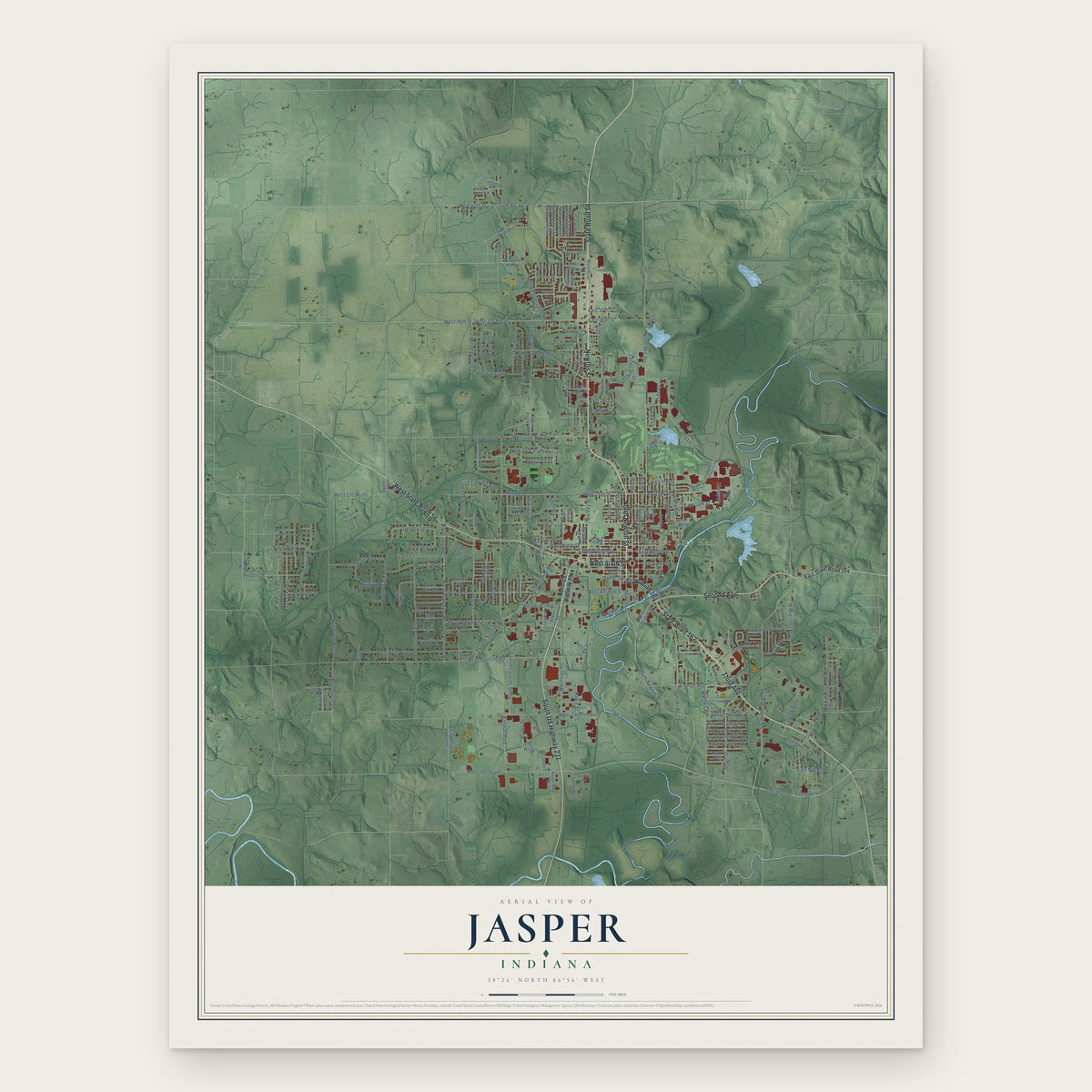
Jasper, Indiana Map Art
Building by building, with labeled streets and shaded relief.
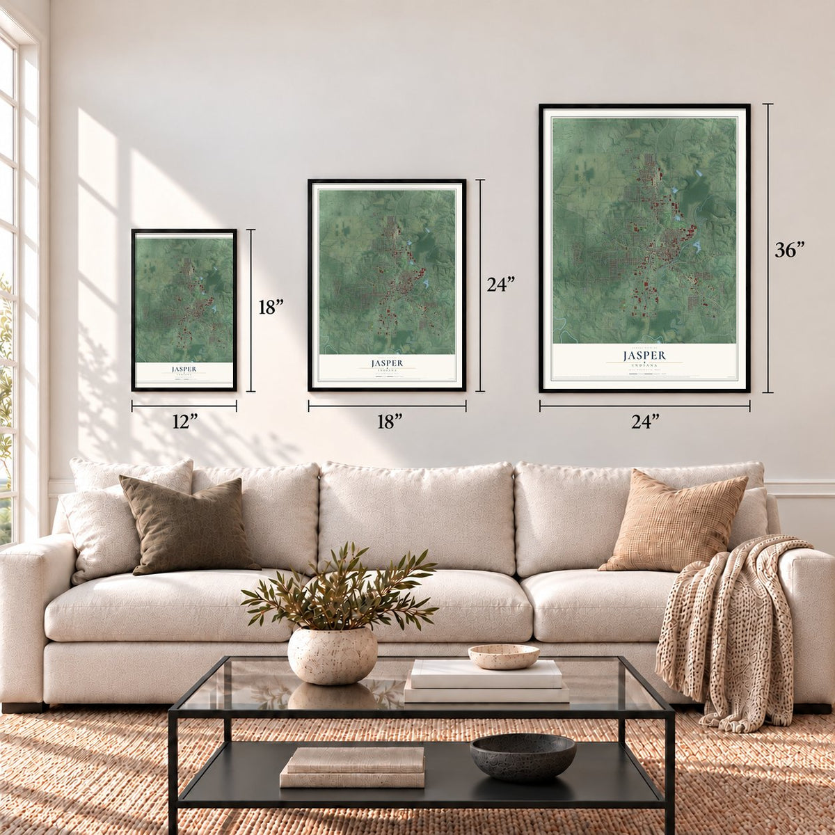
12" x 18" Archival Matte Print
A Map of Home. A Work of Art.
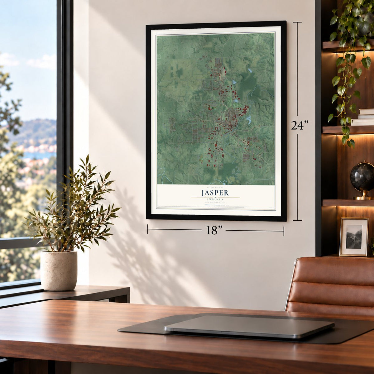
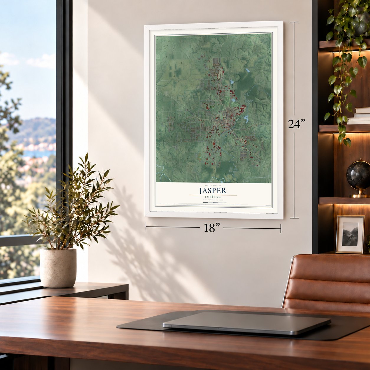
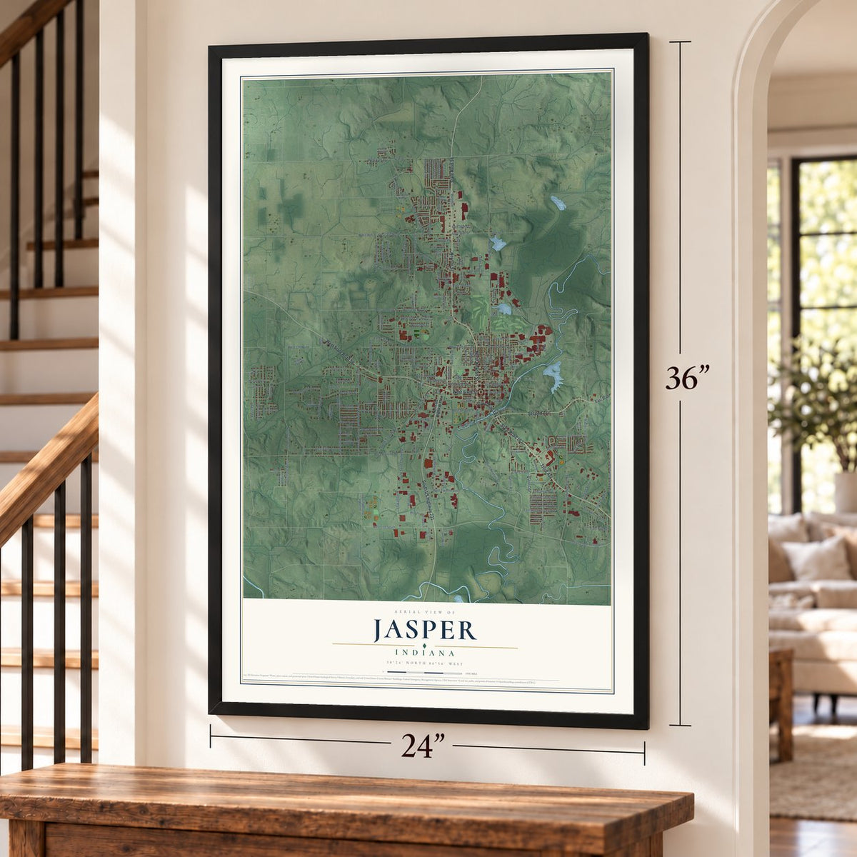
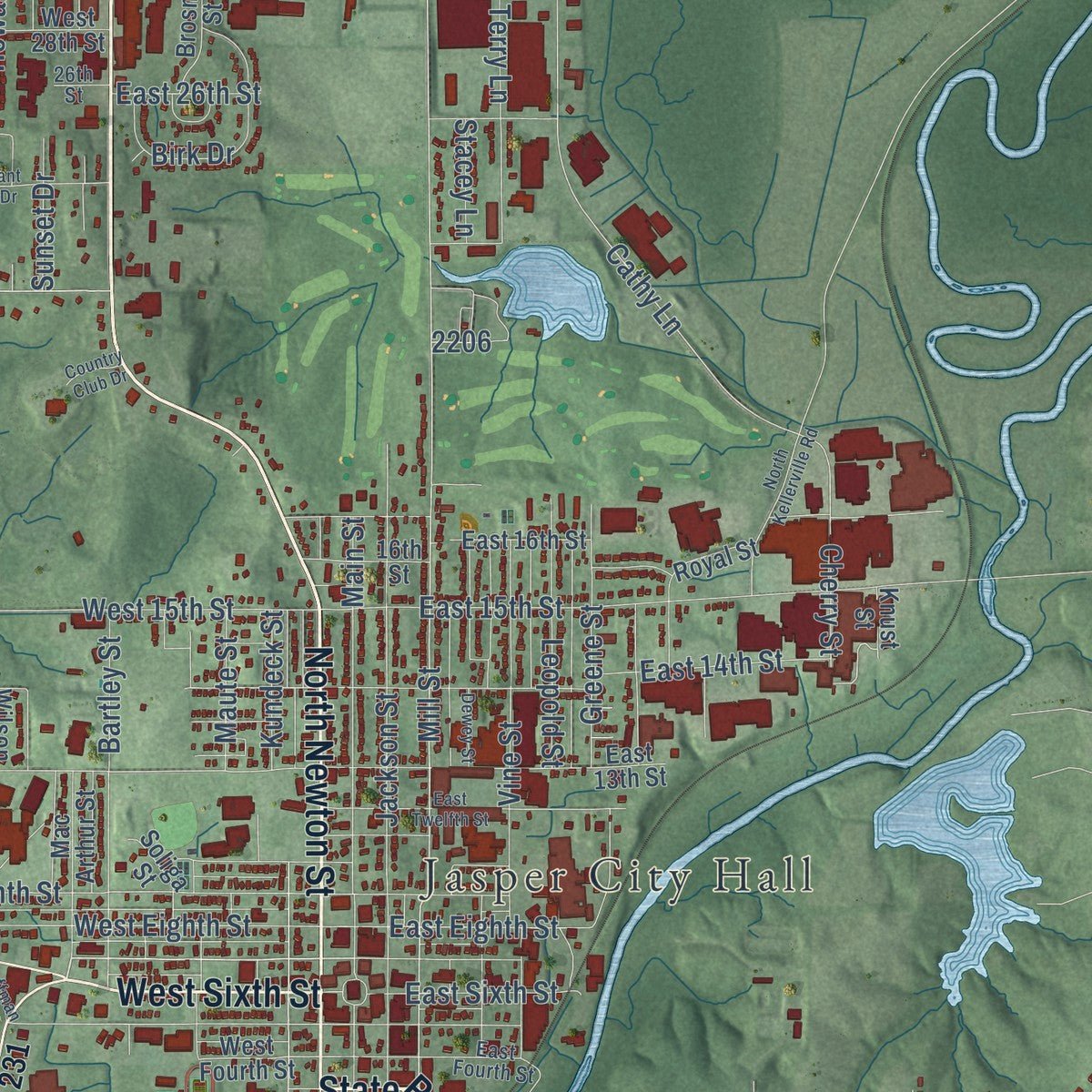
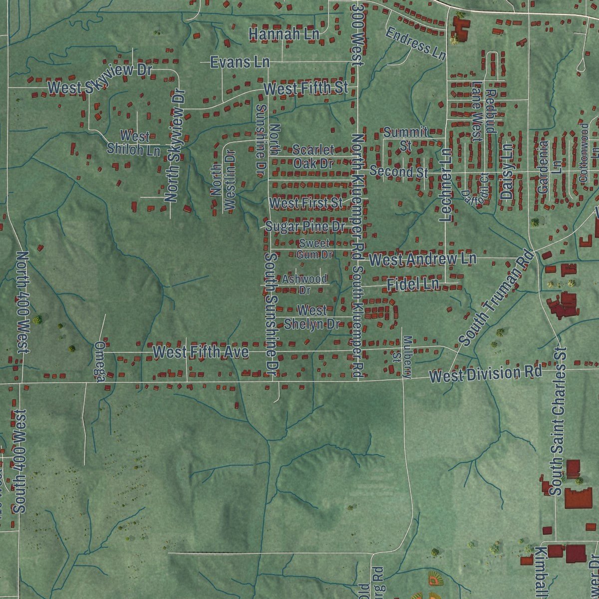
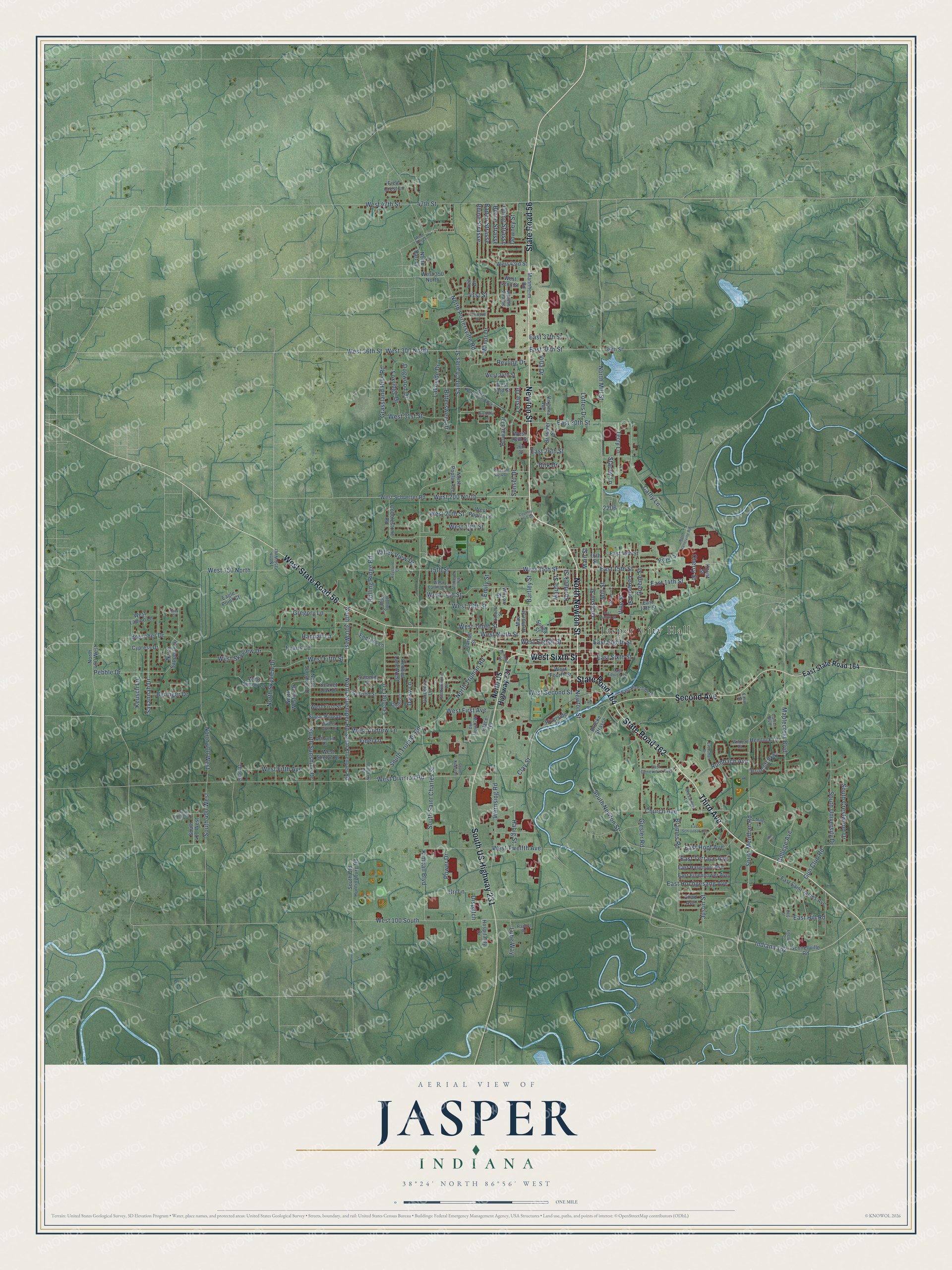
Explore Jasper, Indiana from a whole new perspective. Created using aerial imagery and detailed geographic data, this map captures Jasper building by building, with labeled streets, familiar landmarks, and shaded topographical relief that highlights the natural contours of the landscape.
Combining modern data with the timeless character of a vintage atlas, this map is just as interesting up close as it is beautiful on the wall. Whether you grew up in Jasper, spent memorable years there, or call it home today, this unique map is a great way to celebrate a place that means something to you. Zoom in on the preview to look for your street, and then order a print to put your memories on the wall.
Three ways to hang it
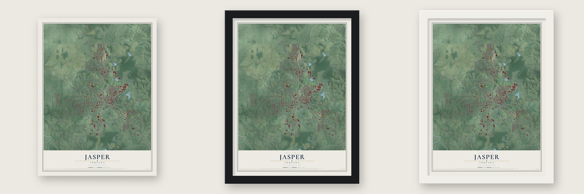
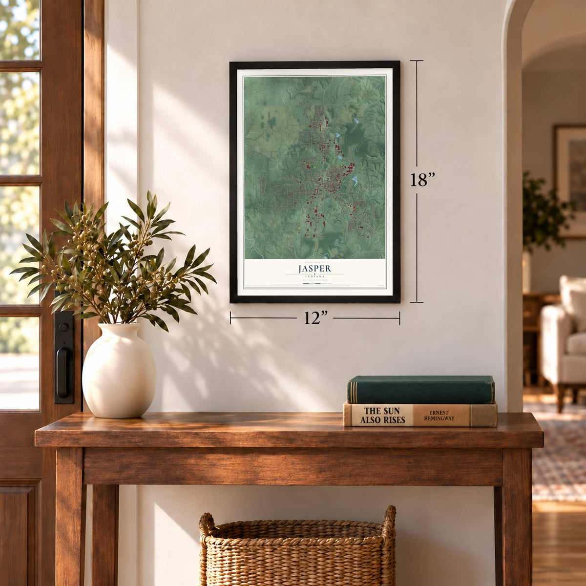
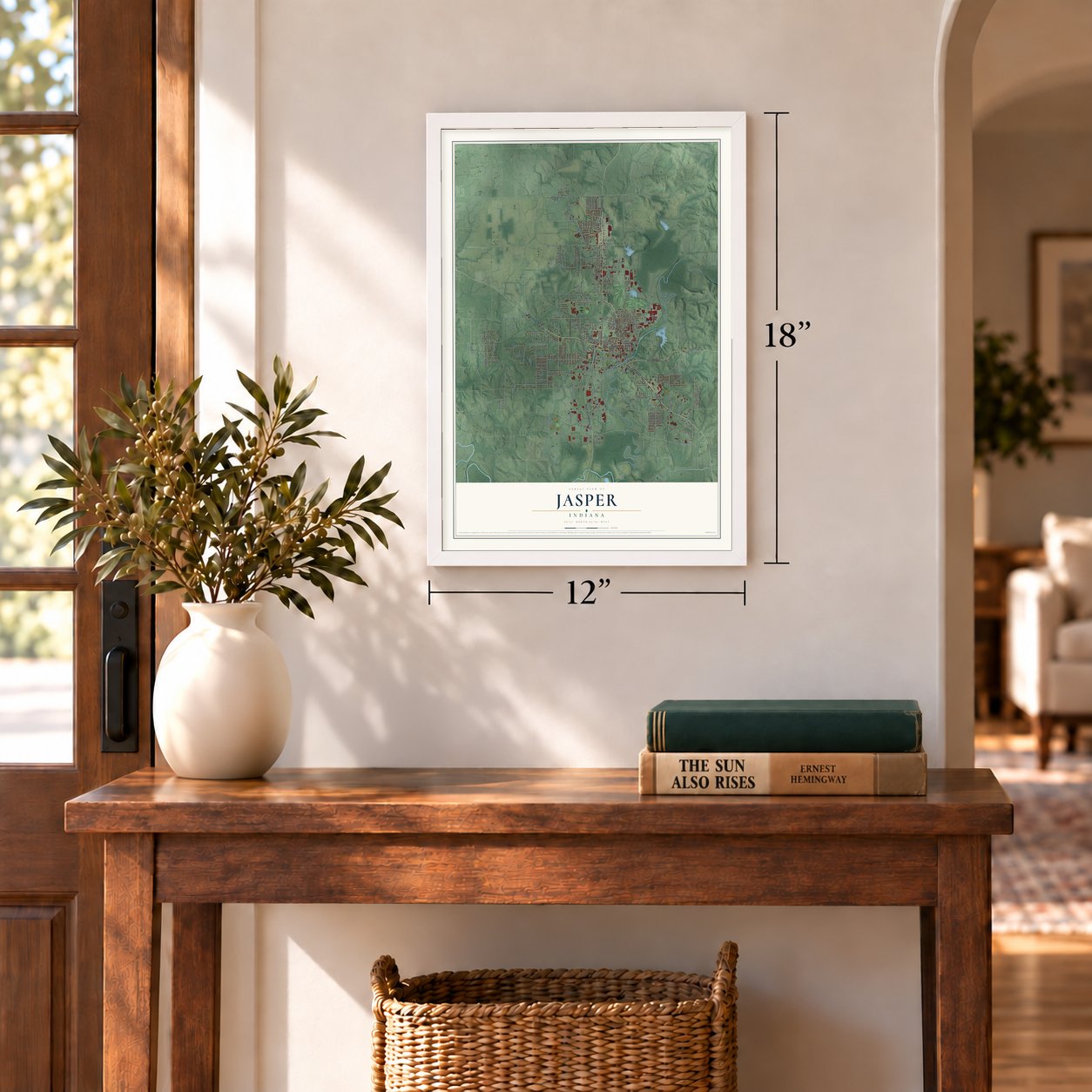
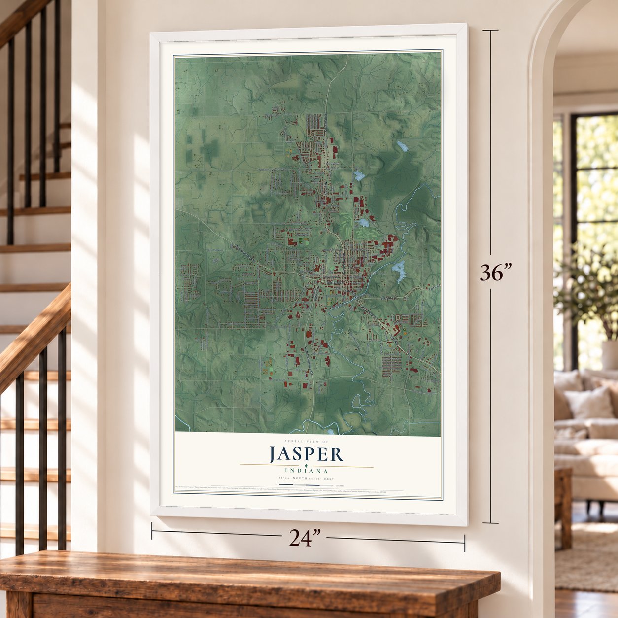
Unframed archival matte, a black wood frame or a white wood frame.
Up close
Geography Worth Displaying
This map was created using accurate cartographic data and authoritative geographic sources, including the U.S. Geological Survey and the Census Bureau. The map brings together terrain, waterways, roads, and building detail. The majority of the streets are labeled, houses are accurately depicted, and the topography is derived from government sources. Combining local data with carefully composed color and shading leads to this beautifully detailed Jasper artwork for your wall.
Rather than simply showing street outlines, we’ve included as many of the street names as we could reasonably fit on the map while keeping their names legible. Zoom in on the high resolution preview to see exactly what’s on the map. We truly set out to create a statement piece for anyone who loves Jasper. So whether it’s for you, or a gift for someone you love, we hope this map of Jasper brings back fond memories.
Read the story behind this map of Jasper, Indiana from 2026.
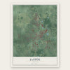
Find your street
Names on the Jasper map
Every name below is printed on this map. Look for your street, your school, the park where you played, or the pond down the road.
Places and landmarks1
- Jasper City Hall
Streets and roads229
- State Road 56
- North Newton Street
- Third Avenue
- State Road 162
- State Road 164
- West Sixth Street
- Second Avenue
- Newton Street
- South US Highway 231
- West State Road 56
- West 47th Street
- Mill Street
- South Newton Street
- North Mill Street
- South Meridian Road
- Cathy Lane
- North Truman Road
- Cherry Street
- Saint Charles Street
- Rumbach Avenue
- East 30th Street
- East Eighth Street
- West 36th Street
- West Fifth Street
- West 14th Street
- East 36th Street
- West Division Road
- West 100 South
- West 15th Street
- North Portersville Road
Show all 229 streets
- West 13th Street
- North 300 West
- Clay Street
- Jackson Street
- West Second Street
- Indiana 162
- Main Street
- West Fifth Avenue
- West 200 North
- East 15th Street
- Baden Strasse
- West 300 North
- Wernsing Road
- North Kluemper Road
- Gregory Lane
- North 400 West
- South Saint Charles Street
- Church Avenue
- West Twelfth Avenue
- Giesler Road
- Lechner Lane
- Justin Street
- West Ninth Street
- East 14th Street
- College Avenue
- Brames Road
- South University Drive
- South Truman Road
- Emily Street
- West 20th Street
- Vine Street
- Leslie Drive
- Gun Club Road
- Bartley Street
- Manor Drive
- West Tenth Street
- West Eighth Street
- 47th Street
- Maplecrest Boulevard
- Brescher Drive
- Bittersweet Drive
- South Sunshine Drive
- West Skyview Drive
- Grassland Hills Road
- Howard Drive
- Dogwood Drive
- Kimball Boulevard
- Birk Drive
- Pebble Drive
- West Andrew Lane
- Lakeside Drive
- 15th Street
- East Hochgesang Avenue
- Evans Lane
- Reyling Drive
- Savannah Drive
- West 150 North
- South Crestwood Drive
- Hrj Lane
- West 31st Street
- Rolling Ridge Road
- Keusch Lane
- Terry Lane
- East Hopf Avenue
- Leopold Street
- South 400 West
- North Skyview Drive
- Greene Street
- Rhine Strasse
- Foxridge Drive
- West 19th Street
- Valley View Drive
- East Terrace Avenue
- West First Avenue
- East Sixth Street
- Hannah Lane
- 41st Street
- Power Drive
- Obing Strasse
- Fidel Lane
- Berne Strasse
- Beringer Drive
- Downey Street
- Maute Street
- East 37th Street
- Kundeck Street
- Lube Way
- Habig Street
- Sunset Drive
- East Hill Road
- Lottes Drive
- East 26th Street
- Dispatch
- Villa Drive
- Stacey Lane
- Daisy Lane
- North US Highway 231
- East State Road 164
- Knust Street
- South Old Huntingburg Road
- Mannheim Road
- West Fourth Street
- Redbud Lane West
- Riverside Place
- West Schuetter Road
- Schnellville Road
- East 16th Street
- North Sapphire Drive
- East 13th Street
- Cobblestone Road
- Carroll Street
- East Saint James Avenue
- North Sunshine Drive
- East Hasenour Avenue
- East Eisenhower Avenue
- South Kluemper Road
- West First Street
- Brucke Strasse
- Briarcliff Parkway
- West 33rd Street
- West 43rd Street
- Mac Arthur Street
- Royal Street
- West Poplar Lane
- Sugar Pine Drive
- South 410 West
- Scarlet Oak Drive
- North Bart Lane
- Endress Lane
- North 490 West
- Second Street
- West Shelyn Drive
- Hemlock Drive
- West Shiloh Lane
- North Poplar Avenue
- West 34th Street
- West 28th Street
- West Ladino Lane
- Brosmer Street
- West 42nd Street
- 16th Street
- North Westlin Drive
- Hospitality Drive
- Cypress Drive
- Virginia Avenue
- Place Road
- Summit Street
- Gardenia Lane
- Chad Avenue
- Soliga Street
- West 350 North
- Lee Drive
- Field Crest Lane
- Eagle Point Court
- Wilson Street
- Omega
- 36th Street
- North 350 West
- West Northwood Avenue
- Daffodil Court
- Dorbett Street
- East Riverside Drive
- East Fourth Street
- Sweet Gum Drive
- Altmeyer Road
- East Genevieve Avenue
- Cottonwood Lane
- West Carlisle Drive
- Ashwood Drive
- Wilhelm Strasse
- McKinley Road
- Mulberry Street
- Blessinger Lane
- Hickory Lane
- Rolling Ridge Court
- Raphyl Road
- Wildcat Court
- Carter Boulevard
- 26th Street
- Easy Street
- Hoffman Road
- First Street
- East Twelfth Street
- Dewey Street
- North Kellerville Road
- Pleasant View Drive
- East Schroeder Avenue
- West Hillcrest Drive
- Eversman Drive
- Miller Lane
- Keystone Court
- Tealwood Drive
- Energy Drive
- West Ann Lane
- South Kuper Lane
- Country Club Drive
- East Street
- Ruby Court
- Hill Court
Names are listed as they appear on the printed map. Zoom into the product photos to find them.
About Jasper, Indiana
Jasper is a city of 16,703 people on the Patoka River, and it is the county seat of Dubois County. The town was founded in 1818, and the Enlow family were its first settlers. The plan was to call it Eleanor for Joseph Enlow's wife, but she picked a different name herself, Jasper, from a verse in the Bible, Revelation 21:19.
The town was not formally platted until 1830, and that same year it took over as county seat from Portersville. Its post office opened in 1832, and Jasper became a town in 1866 and a city in 1915. Settled by German Catholics, it grew into a furniture center, and makers such as Kimball International, Jasper Group and Masterbrand Cabinets earned it the nickname "Wood Capital of the World."
- Strassenfest every AugustEach year, on the first weekend in August, Jasper holds a four-day street festival with Pfaffenweiler, its sister city in the southwest of Germany, and some people from Pfaffenweiler travel over for it. The city square fills with food stands, rides, a beer garden, a parade and fireworks, and the three Catholic parishes hold Polka Masses. On average the crowd eats over 1,300 pounds of bratwurst.
- A mural from the New DealDuring the New Deal, the artist Jessie Hull Mayer won a federal commission from the Treasury Department to paint a mural for Jasper's post office. Her Indiana Farming Scene in Late Autumn shows a harvest on a farm. In 1975 the Indiana Historical Society included the painting in a film about the murals in Indiana's post offices.
- An arts council at City HallJasper's arts council is part of city government, and no other Indiana city supports one that way. The city and its Jasper Community Arts Commission received the Governor's Arts Award in 1987 and again in 2007, and the Thyen-Clark Cultural Center and its public library opened in 2021.
- Indiana Baseball Hall of FameThe state's baseball hall of fame is in Jasper. It honors the players and others tied to the game who were born in Indiana or lived there.
- Strongest Town in 2022In 2022 Jasper won the yearly Strongest Town contest held by the group Strong Towns.
Keep exploring Indiana
Jasper is one of 1,023 Indiana towns we've mapped. Every dot on the map is a print of its own.
The search covers every state, Indiana first.
Near Jasper
Order 2 or more town maps and save 10%. Shown in the size and finish you picked above, so they hang as a set.
- Ireland 12" x 18" / Archival Matte Print $39.99
- Huntingburg 12" x 18" / Archival Matte Print $39.99
- Haysville 12" x 18" / Archival Matte Print $39.99

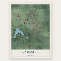
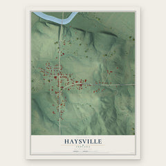
More maps nearby: Bretzville, St. Anthony, Dubois, Celestine and Velpen.
The art of mapping a place
How This Map Was Made
Real places. Remarkable detail. Discover the layers that turn geographic data into a map of home.

The view from above
Aerial imagery reveals the character of the land: woodland, open fields, and the patterns of a place.

The shape of the land
Elevation data brings hills, valleys, and subtle changes in the landscape into view.

The details of home
Roads, waterways, and building footprints come together to make the map feel unmistakably local.

Geography becomes art
Considered color, shading, and typography bring the layers together in a map made for your wall.


Process illustrated with Mendon, Massachusetts. Aerial imagery: USDA NAIP. Terrain: USGS 3D Elevation Program. Map details and finished artwork: KNOWOL.
The Details
About This Print
Choose an archival matte print, or a black or white Ayous wood frame. The archival matte print is unframed.
Select your size and finish above to see the matching product image and price.
Materials & Craftsmanship
A contemporary map with the character of a classic atlas, printed on archival matte paper. Optional frames are made from Ayous wood.
Your printed map does not include the watermark shown in the full-map preview.
Shipping & Delivery
Free shipping within the United States. Every print is made to order in the USA.
Buying a gift? Add a note in your cart and we'll include it. We never put prices in the package.
Prints ship within 2 to 3 business days. Allow 7 to 10 days total from ordering for delivery. Timing may vary during holidays or periods of high order volume.
Read our shipping policy.
Returns and damaged prints
Each print is made to order. Change-of-mind refunds are not available after production.
If your print arrives damaged, misprinted or incorrect, contact support@knowol.com within 30 days of receiving it. Include your order number, photos and a description of the issue.
Read our full refund and replacement policy. For questions about your order, email support@knowol.com.