
Search for another town





Free U.S. delivery 7 to 10 days after you order
Jerome, Ohio Map Art
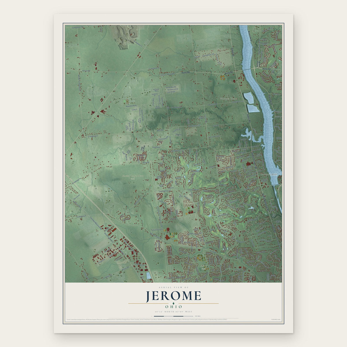
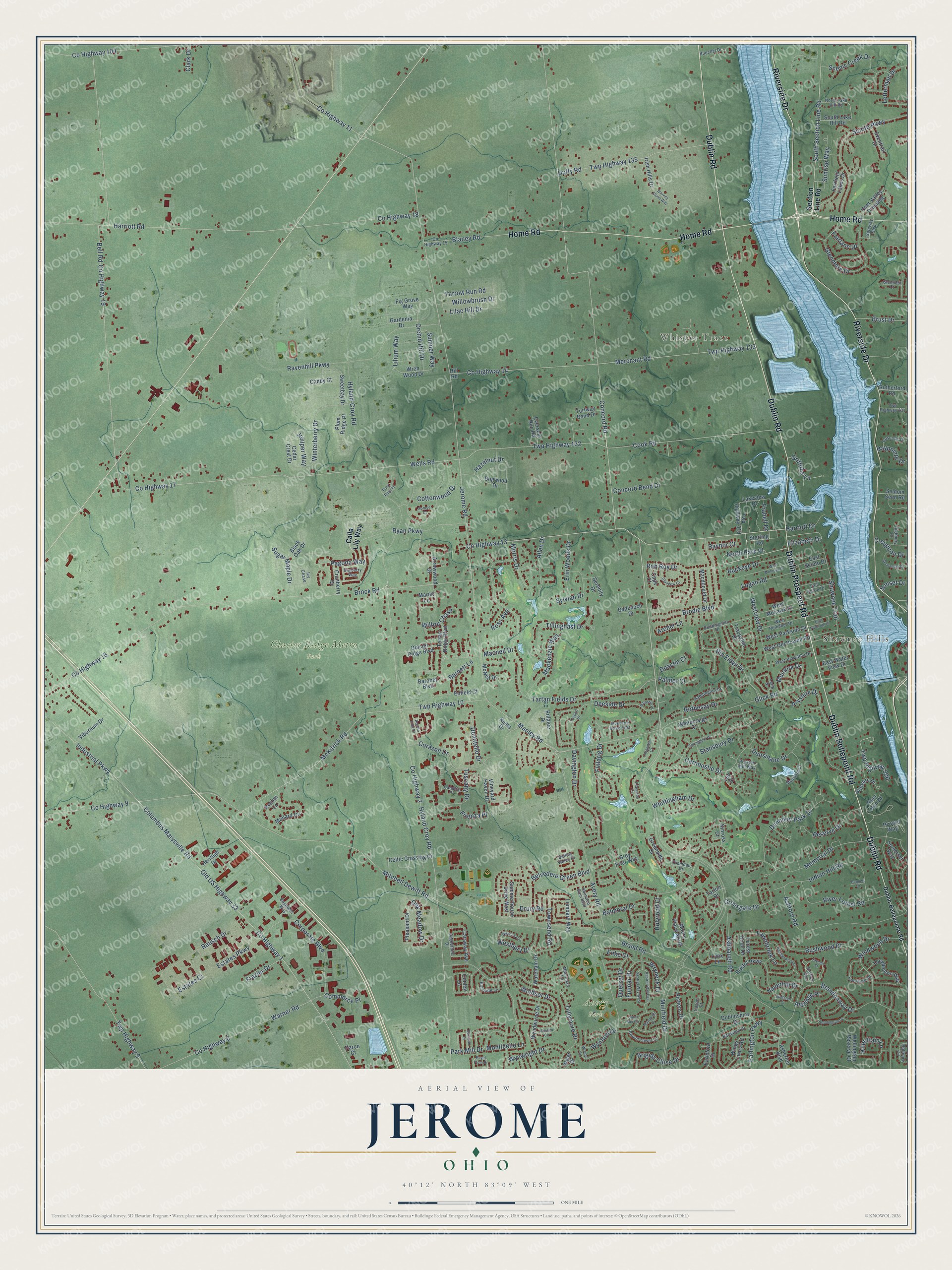
A new map of Jerome, Ohio, made in 2026 and printed to order on thick archival matte paper.
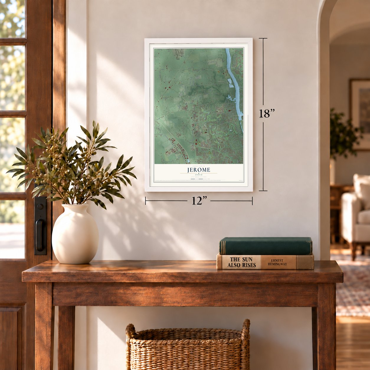
12" x 18" Archival Matte Print
A Map of Home. A Work of Art.
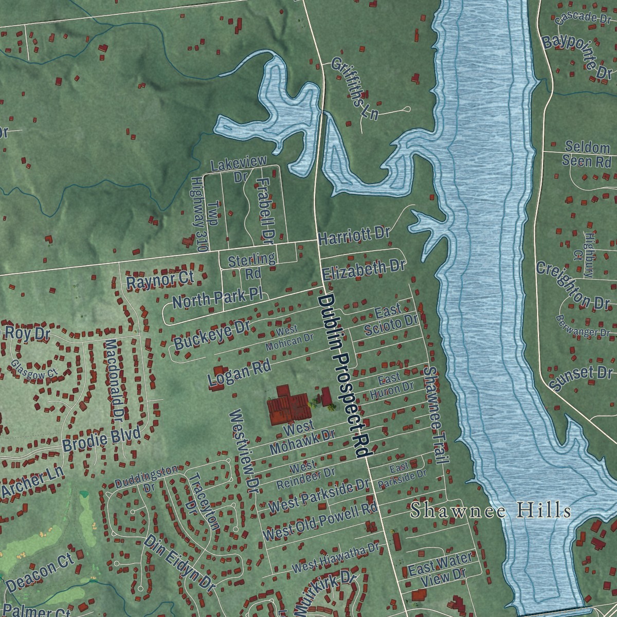
Explore Jerome, Ohio from a whole new perspective. Created using aerial imagery and detailed geographic data, this map captures Jerome building by building, with labeled streets, familiar landmarks, and shaded topographical relief that highlights the natural contours of the landscape.
Combining modern data with the timeless character of a vintage atlas, this map is just as interesting up close as it is beautiful on the wall. Whether you grew up in Jerome, spent memorable years there, or call it home today, this unique map is a great way to celebrate a place that means something to you. Zoom in on the preview to look for your street, and then order a print to put your memories on the wall.
Three ways to hang it
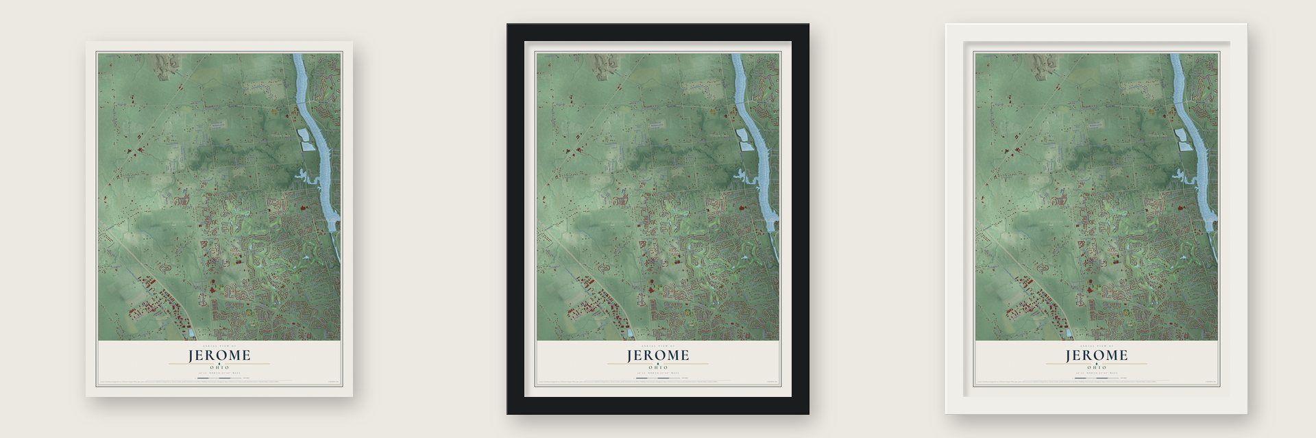
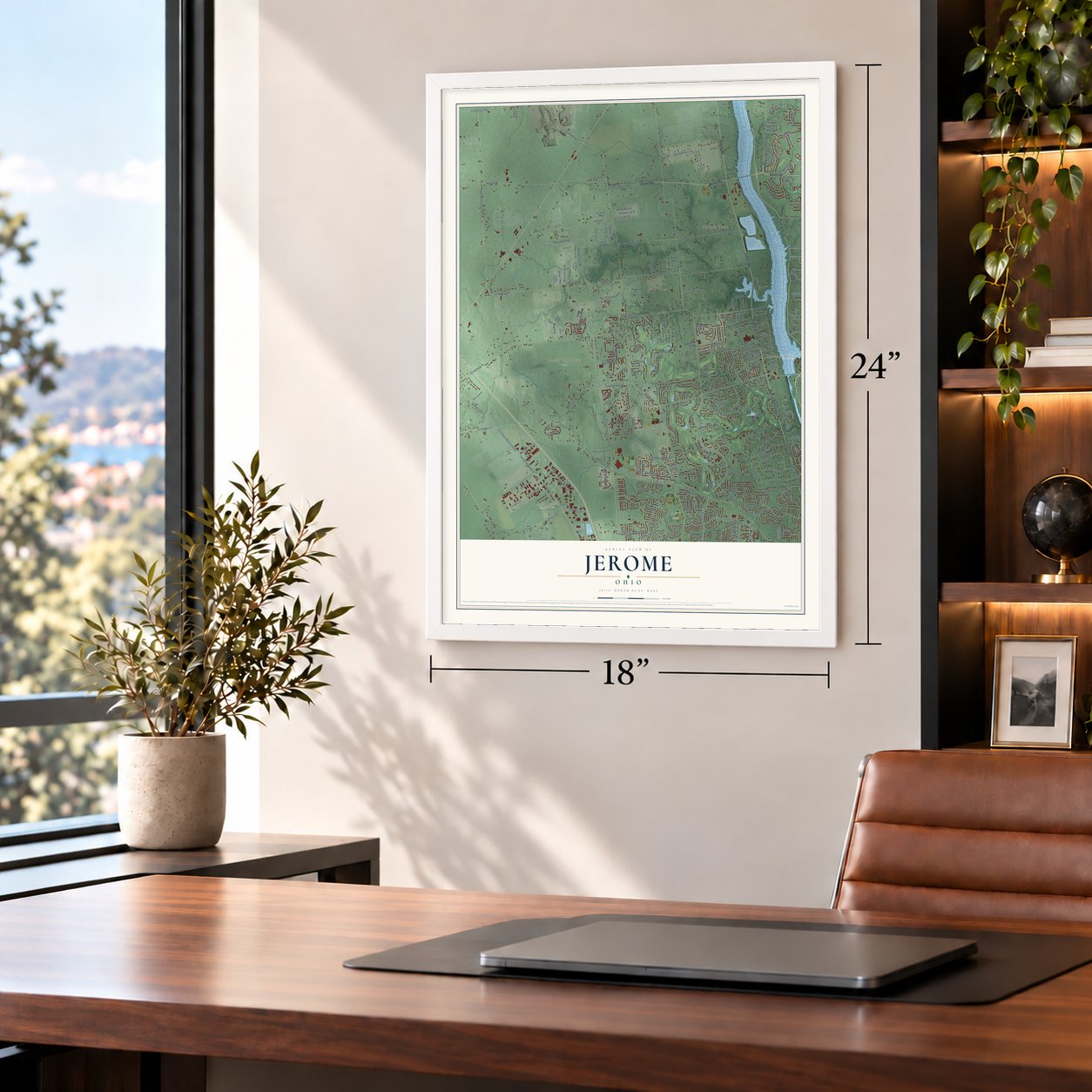
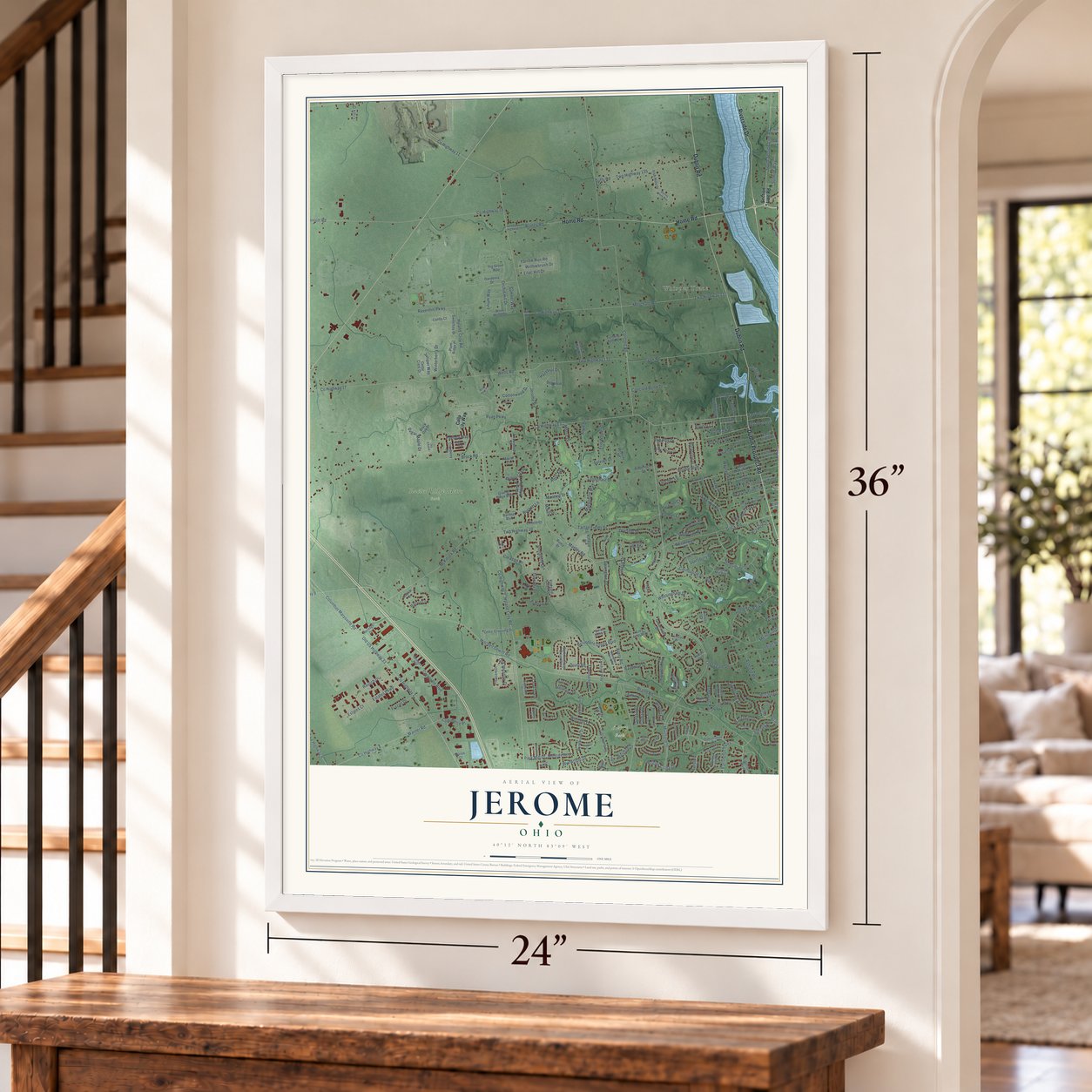
Unframed archival matte, a black wood frame or a white wood frame.
Up close
Geography Worth Displaying
This map was created using accurate cartographic data and authoritative geographic sources, including the U.S. Geological Survey and the Census Bureau. The map brings together terrain, waterways, roads, and building detail. The majority of the streets are labeled, houses are accurately depicted, and the topography is derived from government sources. Combining local data with carefully composed color and shading leads to this beautifully detailed Jerome artwork for your wall.
Rather than simply showing street outlines, we’ve included as many of the street names as we could reasonably fit on the map while keeping their names legible. Zoom in on the high resolution preview to see exactly what’s on the map. We truly set out to create a statement piece for anyone who loves Jerome. So whether it’s for you, or a gift for someone you love, we hope this map of Jerome brings back fond memories.
Read the story behind this map: Detailed Map of Jerome, Ohio.

Find your street
Names on the Jerome map
Every name below is printed on this map. Look for your street, your school, the park where you played, or the pond down the road.
Places and landmarks4
- Whisper Trace
- Avery Park
- Glacier Ridge Metro Park
- Shawnee Hills
Streets and roads295
- Home Road
- Dublin Road
- Riverside Drive
- Dublin Prospect Road
- Dublin Bellepoint Road
- Muirfield Drive
- Concord Road
- Frabell Drive
- South Section Line Road
- Harriott Road
- Manley Road
- Avery Road
- County Highway 13
- Sunset Drive
- Old US Highway 33
- Columbus Marysville Road
- Corporate Boulevard
- Allen Drive
- Tartan Fields Drive
- Glick Road
- Bell Road
- Corazon Drive
- Din Eidyn Drive
- County Highway 17
- Wells Road
- Park Mill Drive
- Finlarig Drive
- Lilac Hill Drive
- Sumner Way
- County Highway 11
Show all 295 streets
- Jerome Road
- Mitchell Dewitt Road
- County Highway 9
- County Highway 2
- Hyland Croy Road
- County Highway 1
- Industrial Parkway
- Brock Road
- County Highway 16
- County Highway 19
- Memorial Drive
- Brand Road
- County Highway 18
- Twp Highway 10
- McKitrick Road
- Cook Road
- Twp Highway 132
- Hyland-Croy Road
- Merchant Road
- Twp Highway 133
- Tullymore Drive
- Ryan Parkway
- Twp Highway 9
- Brodie Boulevard
- Ravenhill Parkway
- County Highway 6
- Warner Road
- Davington Drive
- Carnoustie Drive
- Brandonway Drive
- Duffy Road
- Twp Highway 135
- Scioto Parkway
- Ashford Road
- Shawnee Trail
- County Highway 104
- Indian Hill Road
- Glenmore Drive
- Aryshire Drive
- Dunniker Park Drive
- Windsor Drive
- Rushwood Drive
- Tillinghast Drive
- Rausch Drive
- River Forest Road
- Deeside Drive
- Fawnbrook Lane
- Wilton Chase
- Winterberry Drive
- Dunsinane Drive
- Windwood Drive
- Estates Parkway
- Wynford Drive
- Buckeye Drive
- Twp Highway 306
- Blaney Road
- Reserve Drive
- Archer Lane
- Earlington Parkway
- Tuscany Drive
- Mackenzie Way
- Burnett Lane
- Muirkirk Drive
- Rob Roy Drive
- Scenic Creek Drive
- Estates Court
- Orchid Hill Drive
- Wynwright Drive
- Hazelnut Drive
- Westview Drive
- Sylvian Drive
- Brigids Close Drive
- Lilium Way
- Erin Woods Drive
- Belvedere Green Boulevard
- Ashbaugh Road
- Macneil Drive
- Yarrow Run Road
- County Highway 14
- Pagoda Way
- Willowbrush Drive
- Westbury Drive
- Monticello Lane
- Whittingham Drive
- Concord Bend Drive
- Logan Road
- Balmoral Drive
- Morris Drive
- Griffiths Lane
- Townsend Road
- Oak Meadow Drive
- Sugar Maple Drive
- Rothesay Drive
- Brust Drive
- Letterman Drive
- Cottonwood Drive
- Sunrise Way
- Aldridge Place
- Kilbrittain Lane
- Harriott Drive
- Fulmar Drive
- Quetzal Drive
- North Park Place
- Donatello Drive
- Frazier Drive
- Crossgate Drive
- Palmer Court
- Wryneck Drive
- Ross Avenue
- Creighton Drive
- Haverhill Drive
- Baypointe Drive
- Commerce Place
- Juniper Way
- Stansbury Drive
- Deacon Court
- Holyrood Court
- Firenza Place
- Elizabeth Drive
- Fairlane Drive
- Enke Court
- Drury Road
- Raynor Court
- Clark Drive
- Section Line Road
- Calla Lily Way
- Twp Highway 310
- Sterling Road
- Summerhouse Drive West
- Lakeview Drive
- Gardenia Drive
- Baronet Boulevard
- Traceyton Drive
- Arrowwood Drive
- Dublinshire Drive
- Wyndburne Drive
- Tartan Ridge Boulevard
- Cedar Crest Drive
- Plum Ridge Place
- Lombard Way
- Hill Road
- Celtic Crossing Drive
- Turfway Bend Drive
- Sweetbay Drive
- Mallard Circle
- Deer Valley Crossing
- Wellington Reserve Court
- Longbenton Way
- Moors Place North
- Whitecraigs Court
- Fairfield Lakes Drive
- Macdonald Drive
- Avalon Lane
- Deer Run Drive
- Dogwood Drive
- Glacier Ridge Boulevard
- Asherton Boulevard
- West Parkside Drive
- West Old Powell Road
- Wings Livery Road
- West Mohawk Drive
- Irish Hills Drive
- Vineyard Haven Drive
- Pesaro Way
- Pleasant Drive
- Viburnum Drive
- South Lake Hill Road
- Glenaire Drive
- Bristol Parkway
- Serenity Drive
- Wareham Drive
- Earlsford Drive
- Somerset Way
- Caraway Avenue
- East Water View Drive
- East Scioto Drive
- McNeil Drive
- Fig Grove Way
- Eventrail Drive
- Black Oak Drive
- Wren Wood Drive
- Eversole Run Road
- Killaloe Drive
- Badenoch Drive
- Cranberry Drive
- Grey Friar Way
- Seldom Seen Road
- Rutherford Road
- Heritage Drive
- Forest Knoll Drive
- Enfield Court
- Richens Drive
- Greenside Drive
- Lea Court
- Wyler Drive
- Canby Court
- Marist Lane
- Kinross Court
- Cape Court
- Tarton Drive
- Conley Lane
- Daron Court
- Roma Drive
- Lynx Lane
- Dublin-Bellepointe Road
- Bartles Avenue
- Duddingston Drive
- Leith Drive
- Sagestone Drive
- County Highway 15
- Shannon Glen Boulevard
- West Hiawatha Drive
- Ivy Chase
- West Reindeer Drive
- Calabria Place
- Round Tower Lane
- Burnside Lane
- Muirfield Court
- Haddington Drive
- North Lake Hill Road
- Bardston Drive
- Bellow Valley Drive
- East Huron Drive
- Buechel Drive
- Cascade Drive
- Inverurie Drive East
- Balfoure Circle
- Macrenan Lane
- Twp Highway 331
- Business Way
- Cromdale Drive
- Bayberry Way
- Preston Mill Way
- Highbury Court
- Gateway Boulevard
- Glenmeir Court
- Cashel Court
- Kestrel Way West
- Kestrel Way East
- Tayport Drive
- Springburn Drive
- Heatherwood Lane
- Craigston Court
- Jaymes Street
- West Mohican Drive
- Kate Brown Drive
- Wismer Circle
- Wisteria Circle
- Berwanger Drive
- Reddington Drive
- Walden Circle
- Maynooth Drive
- Glasgow Court
- Royal Plum Drive
- East Parkside Drive
- Blarney Stone Way
- Rock Rose Place
- Barrister Drive
- Locherbie Court
- Barassie Place
- Wellston Court
- Saint Mel Circle
- Roseto Villa Drive
- Spruce Court
- Bennett Court
Names are listed as they appear on the printed map. Zoom into the product photos to find them.
The art of mapping a place
How This Map Was Made
Real places. Remarkable detail. Discover the layers that turn geographic data into a map of home.

The view from above
Aerial imagery reveals the character of the land: woodland, open fields, and the patterns of a place.

The shape of the land
Elevation data brings hills, valleys, and subtle changes in the landscape into view.

The details of home
Roads, waterways, and building footprints come together to make the map feel unmistakably local.

Geography becomes art
Considered color, shading, and typography bring the layers together in a map made for your wall.


Process illustrated with Mendon, Massachusetts. Aerial imagery: USDA NAIP. Terrain: USGS 3D Elevation Program. Map details and finished artwork: KNOWOL.
The Details
About This Print
Choose an archival matte print, or a black or white Ayous wood frame. The archival matte print is unframed.
Select your size and finish above to see the matching product image and price.
Materials & Craftsmanship
A contemporary map with the character of a classic atlas, printed on archival matte paper. Optional frames are made from Ayous wood.
Your printed map does not include the watermark shown in the full-map preview.
Shipping & Delivery
Free shipping within the United States. Every print is made to order in the USA.
Buying a gift? Add a note in your cart and we'll include it. We never put prices in the package.
Prints ship within 2 to 3 business days. Allow 7 to 10 days total from ordering for delivery. Timing may vary during holidays or periods of high order volume.
Read our shipping policy.
Returns and damaged prints
Each print is made to order. Change-of-mind refunds are not available after production.
If your print arrives damaged, misprinted or incorrect, contact support@knowol.com within 30 days of receiving it. Include your order number, photos and a description of the issue.
Read our full refund and replacement policy. For questions about your order, email support@knowol.com.
Find your town
Looking for another city?
Find a map of home in our Ohio collection, or any town in the country.
Nearby
Maps of towns near Jerome
Know someone from one of these towns? Their map makes a great gift.
 Shawnee Hills
, Ohio
From $39.99See the map
 New California
, Ohio
From $39.99See the map
 Dublin
, Ohio
From $39.99See the map
More maps nearby: Hyatts, Powell, Plain City, Ostrander and Worthington Hills.