
Search for another town


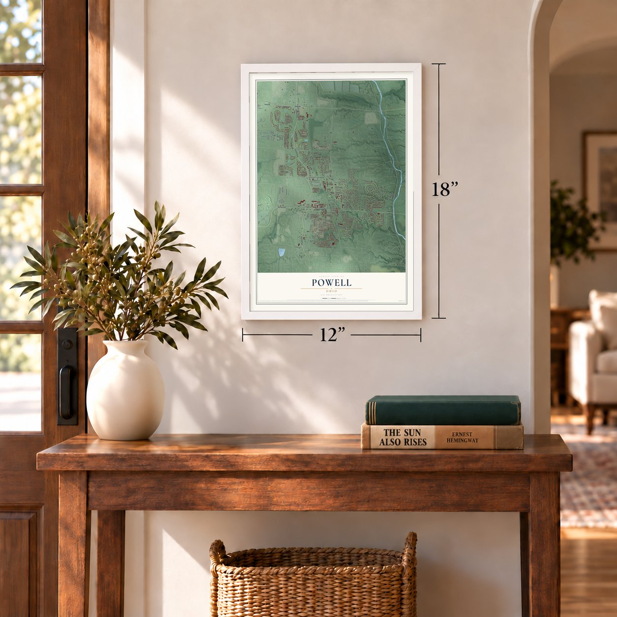
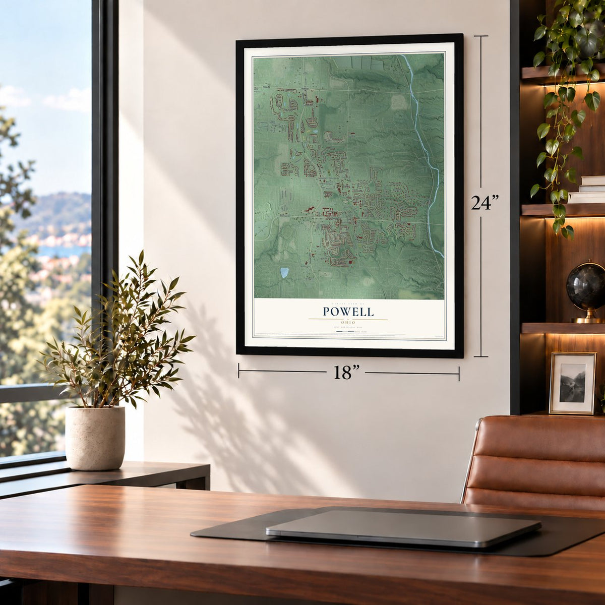
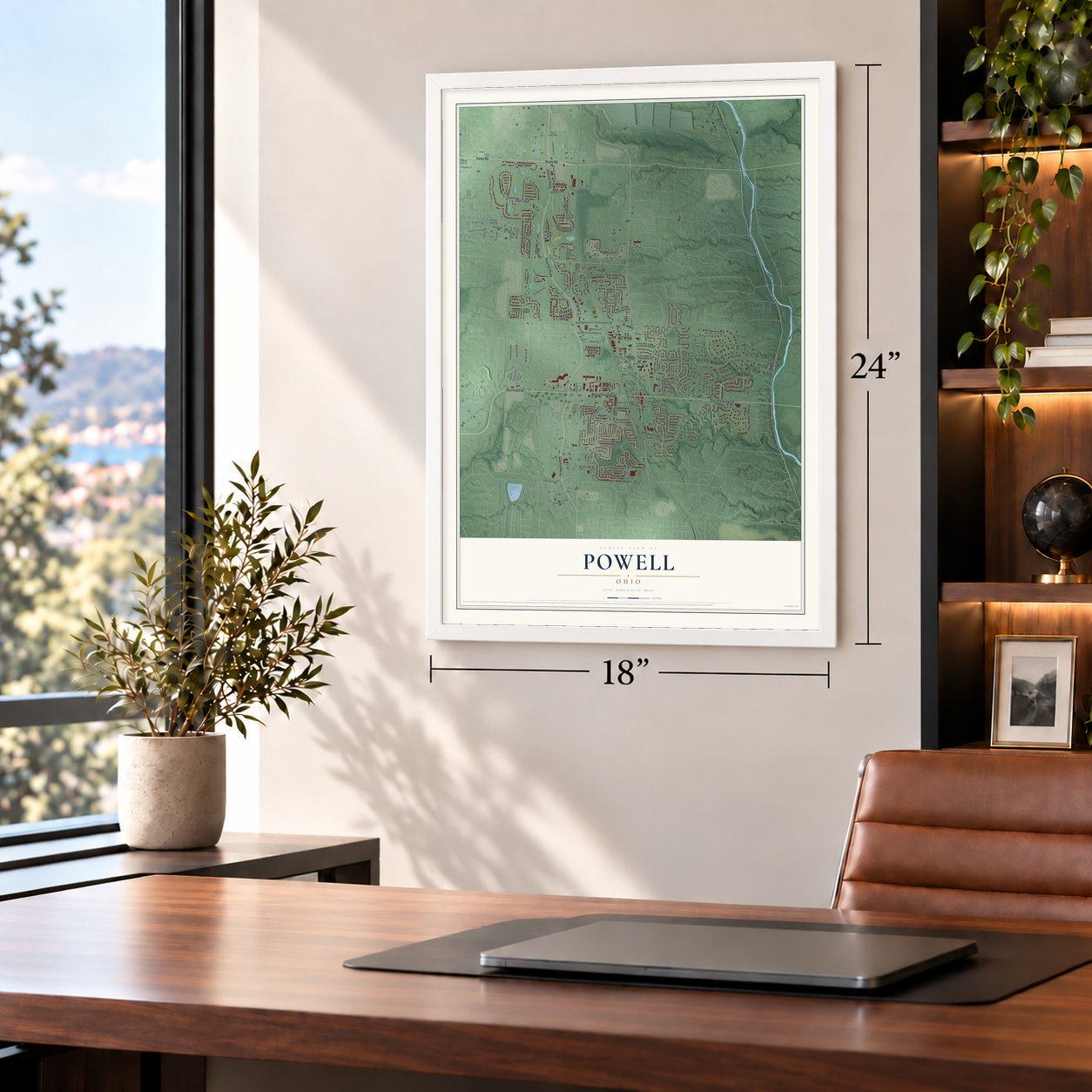
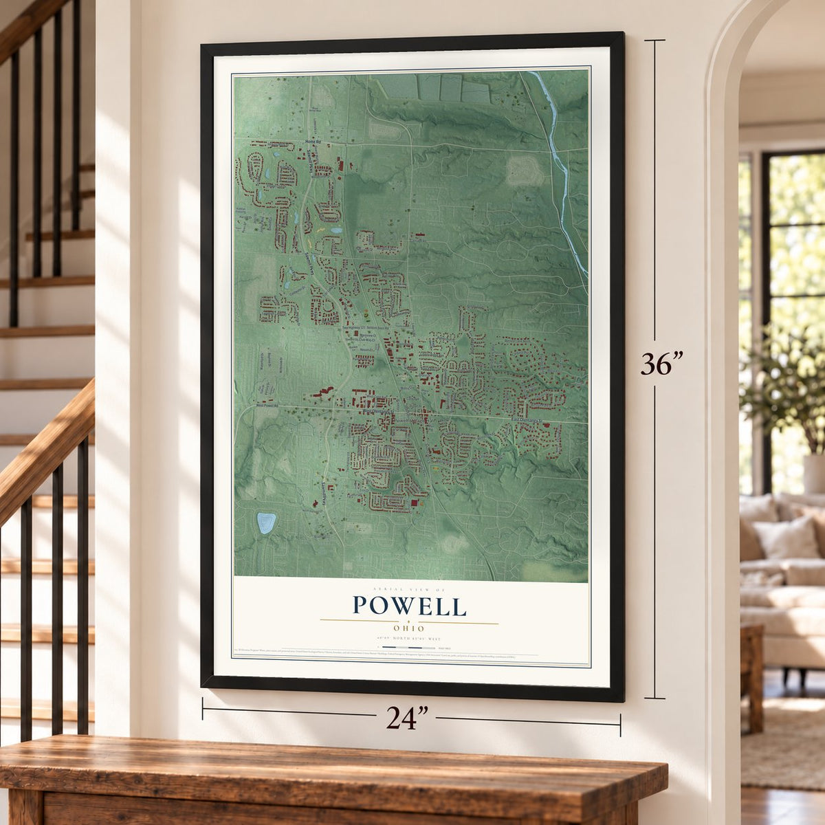

Free U.S. delivery 7 to 10 days after you order
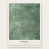
Powell, Ohio Map Art
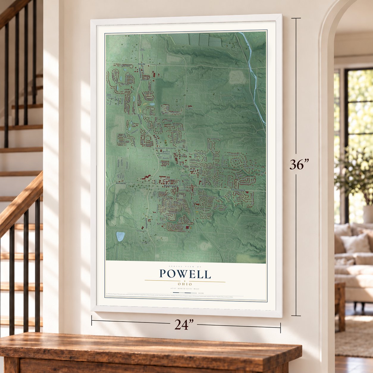
A new map of Powell, Ohio, made in 2026 and printed to order on thick archival matte paper.
12" x 18" Archival Matte Print
A Map of Home. A Work of Art.
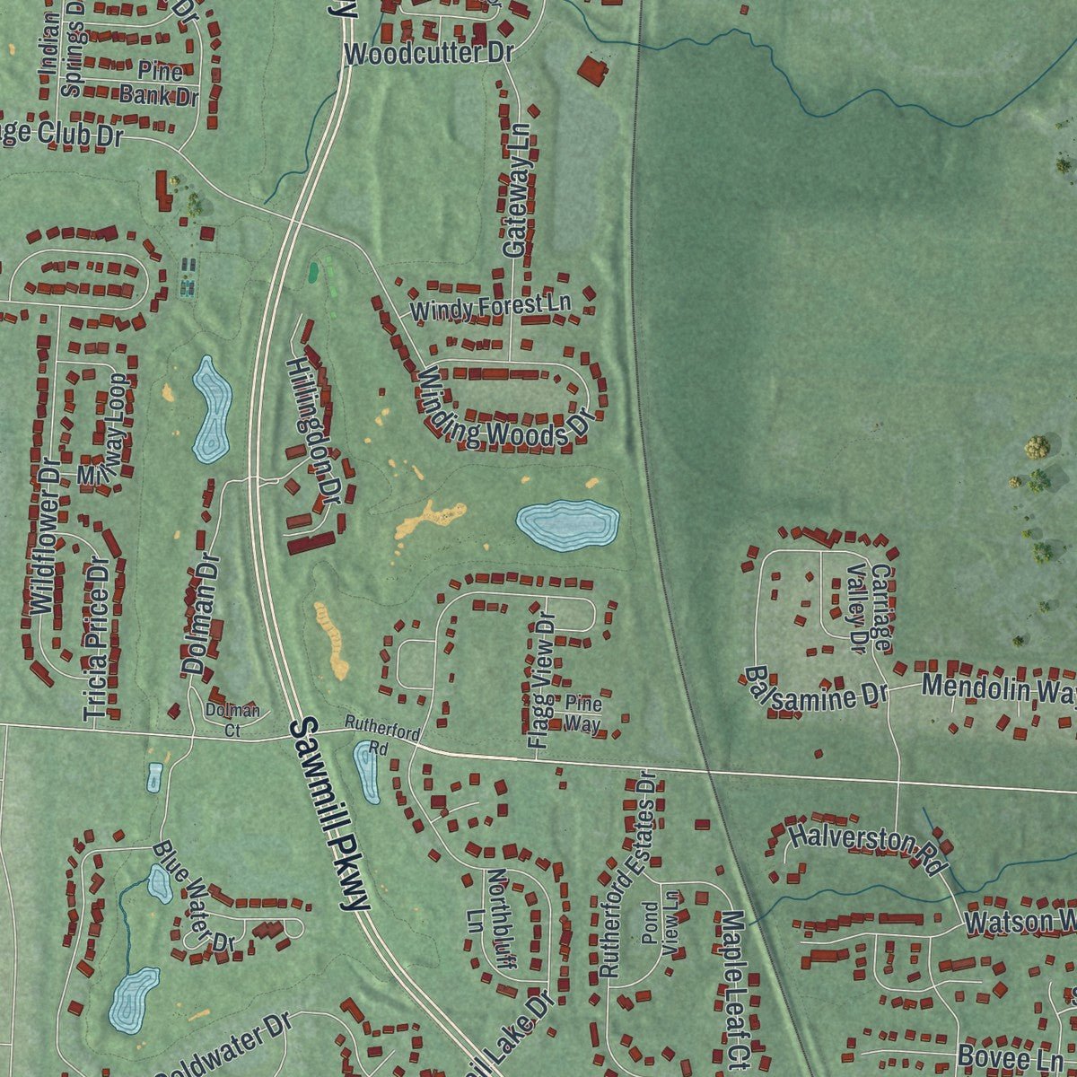
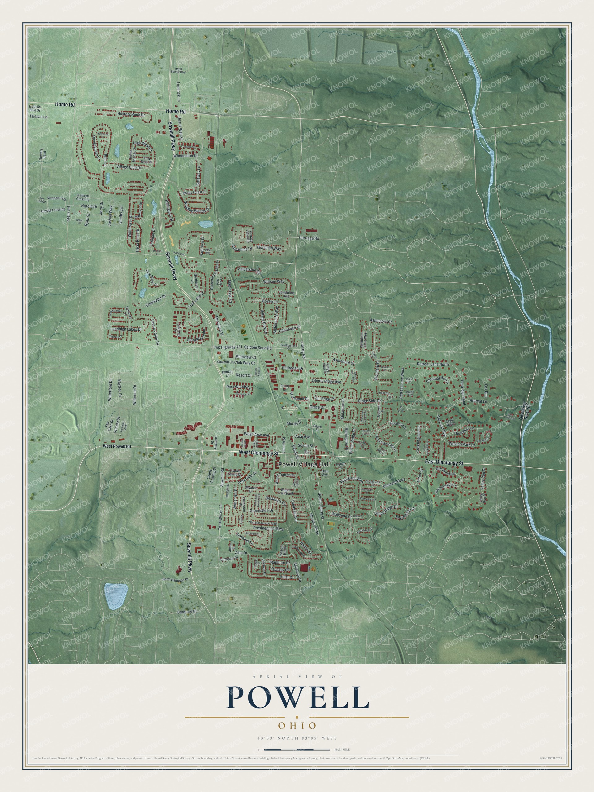
This beautifully detailed map of Powell, Ohio was created in 2026 using aerial imagery combined with modern topographical, census, street and landmark data. It's a modern aerial view of Powell in Delaware County, Ohio, that combines modern data with a vintage aesthetic. Zoom in on the preview and look for your block.
Three ways to hang it
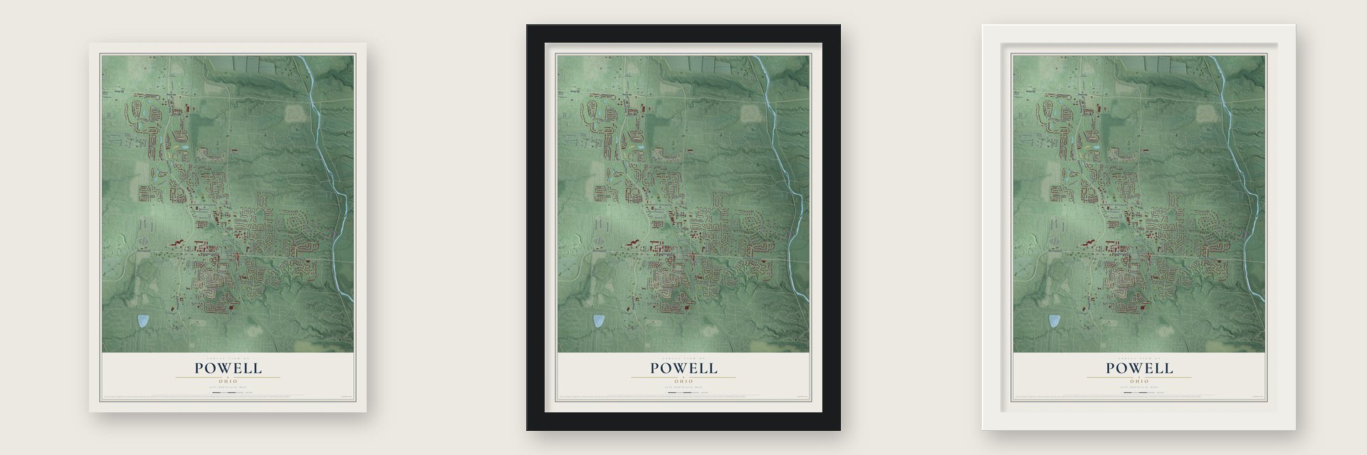
Unframed archival matte, a black wood frame or a white wood frame.
Up close
Real geography. Art worth displaying.
This map was created using accurate cartographic data and authoritative geographic sources, including the U.S. Geological Survey and the Census Bureau. The map brings together terrain, waterways, roads, and building detail. The majority of the streets are labeled, houses are accurately depicted, and the topography is derived from government sources. Combining local data with carefully composed color and shading leads to this beautifully detailed Powell artwork for your wall.
Rather than simply showing street outlines, we’ve included as many of the street names as we could reasonably fit on the map while keeping their names legible. Zoom in on the high resolution preview to see exactly what’s on the map. We truly set out to create a statement piece for anyone who loves Powell. So whether it’s for you, or a gift for someone you love, we hope this map of Powell brings back fond memories.
About Powell, Ohio
Powell is a city in Delaware County, about 14 miles north of Columbus. Settlers arrived in 1801, and the community was known as Middlebury by 1813 before taking the Powell name in 1857. Incorporated in 1947, it became a city in 2000 and counted 14,163 residents in the 2020 census.
- From Middlebury to PowellThe settlement was called Middlebury by 1813 and renamed Powell in 1857 to honor the judge who approved its post office.
- Railroad ArrivalThe Columbus and Toledo Railroad reached Powell in 1872, bringing new opportunities and carrying Appalachian coal toward areas beyond Columbus.
- The Four CornersResidents call the intersection of State Route 750 and Liberty Street the Four Corners.
- Nine Public ParksPowell maintains nine public parks, including Village Green Park, the site of the annual Powell Festival.
- Rapid Residential GrowthOver 20 years, Powell's population rose nearly 1,500 percent, from 378 residents to more than 6,000.
Find your street
Names on the Powell map
Every name below is printed on this map. Look for your street, your school, the park where you played, or the pond down the road.
Places and landmarks2
- Powell Village Hall
- Adventure Park
Streets and roads197
- West Olentangy Street
- Sawmill Parkway
- East Olentangy Street
- Home Road
- Liberty Road
- Ashmoore Drive
- Liberty Ridge Avenue
- South Liberty Street
- Case Avenue
- Bennett Parkway
- Grace Drive
- Ridge Side Drive
- Depot Street
- Brookehill Drive
- Bradford Court
- Dolman Drive
- Briarbend Boulevard
- Resort Court
- Valley Run Drive
- Laurel Valley Drive
- Balsamine Drive
- Village Club Drive
- Hickory Rock Drive
- Coldwater Drive
- Murphy Parkway
- Trail Lake Drive
- Retreat Lane
- Presidential Parkway
- Village Park Drive
- Seldom Seen Road
Show all 197 streets
- Twp Highway 121
- Thornbury Lane
- Waterford Drive
- Cardinal Hill Lane
- Grandshire Drive
- Woodcutter Drive
- Sawmill Road
- Zion Drive
- Watson Way
- Wildflower Drive
- Winding Woods Drive
- Stoneway Point
- Salisbury Drive
- Polo Lane
- Retreat Lane West
- Delaney's Circle
- Partridge Bend
- Vinwood Lane
- Beech Ridge Drive
- Wilbrook Drive
- Steitz Road
- Cressingham Lane
- Weston Park Drive
- Moreland Street
- Bovee Lane
- Jerry Drive
- Mendolin Way
- Middlebury Way
- Landhigh Lakes Drive
- Gateway Lane
- Limerick Lane
- High Wind Drive
- Retreat Lane North
- Baytree Drive
- Maple Leaf Court
- West Case Avenue
- Hillingdon Drive
- Smiths Circle
- Woodard Place
- Grey Oaks Drive
- Verona Drive
- Shale Ridge Court
- Muladore Drive
- Harold Drive
- Halverston Road
- Donerail Avenue
- Joshua Way
- Tiller Drive
- Tricia Price Drive
- Trail Edge Circle
- Winter Hill Place
- Carriage Road
- Guard-Well Street
- Stamford Drive
- Chasely Circle
- Old Pond Lane
- Wallsend Court
- Chenango Drive
- Raccoon Run
- Park Woods Lane
- Clairedan Drive
- Engelwood Court
- Club Way Court
- Ashmoore Court
- Barrington Place
- Friesan Lane
- Mainview Court
- Scioto Street
- Bantry Street
- Aston Court
- Fox Run
- Lincoln Street
- Morris Court
- Ryan Street
- West Powell Road
- Olentangy River Road
- Sanderling Avenue
- Ashmoore Circle West
- Bunker Lane
- Ruppert Trail
- Sawmill Drive
- Olentangy Ridge Place
- Twp Highway 119
- Hopewell Drive
- Woodland Drive
- Indian Springs Drive
- Carriage Valley Drive
- Woods Hollow Lane
- Linksway Drive
- Blue Water Drive
- Commons Drive
- Bakircay Lane
- Rutherford Estates Drive
- Millway Loop
- Andover Drive
- Coyote Crossing
- North Hampton Drive
- Fair Oaks Drive
- Charles Spring Drive
- Spring Garden Lane
- Wagon Trail North
- Windy Forest Lane
- Galloway Drive
- Wagon Trail South
- Kathryn Crossing
- Northbluff Lane
- Flagg View Drive
- Elmendorf Place
- Ridge View Place
- Liberty Crossing Drive
- Valley Run Place
- Shyanne Drive
- Pine Bank Drive
- Stream Isle Drive
- Isabella Blue Drive
- Eagle Ridge
- Penny Lane
- Hunters Bend
- Blair Avenue
- Sharp Street
- Kellys Court
- Junia Court
- Shalebrook Drive
- Whitaker Avenue South
- Timberknoll Loop
- Cordona Loop
- Francine Lane
- Timber Oak Drive
- Pond View Lane
- Vauxhill Lane
- Woodsfield Court
- Featherstone Court
- Royal Belfast Boulevard
- Hopewell Court
- Fox Tail Circle
- Wellspring Lane
- Quails End
- Gradall Court
- Pine Way
- Hall Street
- Rutherford Road
- Tree Haven Avenue North
- Sunrise Ridge Place
- Timberside Drive
- Weatherburn Drive
- Deer Creek East
- Nathan Drive
- Bear Woods Drive
- Westward Way
- Industrial Park Place
- Rosewood Court
- Wooten Court South
- Village Pointe Drive
- Glen Village Court
- Beech Trail Court
- Wagon Trail East
- Oakham Court
- Forest Ridge Court
- Woodedge Circle West
- Keisel Court
- Havenrock Lane
- Glenworth Court
- Manderly Court
- Robert Court
- Dolman Court
- Thrush Rill
- Raven Spr
Names are listed as they appear on the printed map. Zoom into the product photos to find them.
The art of mapping a place
How This Map Was Made
Real places. Remarkable detail. Discover the layers that turn geographic data into a map of home.

The view from above
Aerial imagery reveals the character of the land: woodland, open fields, and the patterns of a place.

The shape of the land
Elevation data brings hills, valleys, and subtle changes in the landscape into view.

The details of home
Roads, waterways, and building footprints come together to make the map feel unmistakably local.

Geography becomes art
Considered color, shading, and typography bring the layers together in a map made for your wall.


Process illustrated with Mendon, Massachusetts. Aerial imagery: USDA NAIP. Terrain: USGS 3D Elevation Program. Map details and finished artwork: KNOWOL.
The Details
About This Print
Choose an archival matte print, or a black or white Ayous wood frame. The archival matte print is unframed.
Select your size and finish above to see the matching product image and price.
Materials & Craftsmanship
A contemporary map with the character of a classic atlas, printed on archival matte paper. Optional frames are made from Ayous wood.
Your printed map does not include the watermark shown in the full-map preview.
Shipping & Delivery
Free shipping within the United States. Every print is made to order in the USA.
Buying a gift? Add a note in your cart and we'll include it. We never put prices in the package.
Prints ship within 2 to 3 business days. Allow 7 to 10 days total from ordering for delivery. Timing may vary during holidays or periods of high order volume.
Read our shipping policy.
Returns and damaged prints
Each print is made to order. Change-of-mind refunds are not available after production.
If your print arrives damaged, misprinted or incorrect, contact support@knowol.com within 30 days of receiving it. Include your order number, photos and a description of the issue.
Read our full refund and replacement policy. For questions about your order, email support@knowol.com.
Find your town
Looking for another city?
Find a map of home in our Ohio collection.
Nearby
Maps of towns near Powell
Know someone from one of these towns? Their map makes a great gift.


