
Search for another town





Free U.S. delivery 7 to 10 days after you order
Joliet, Illinois Map Art
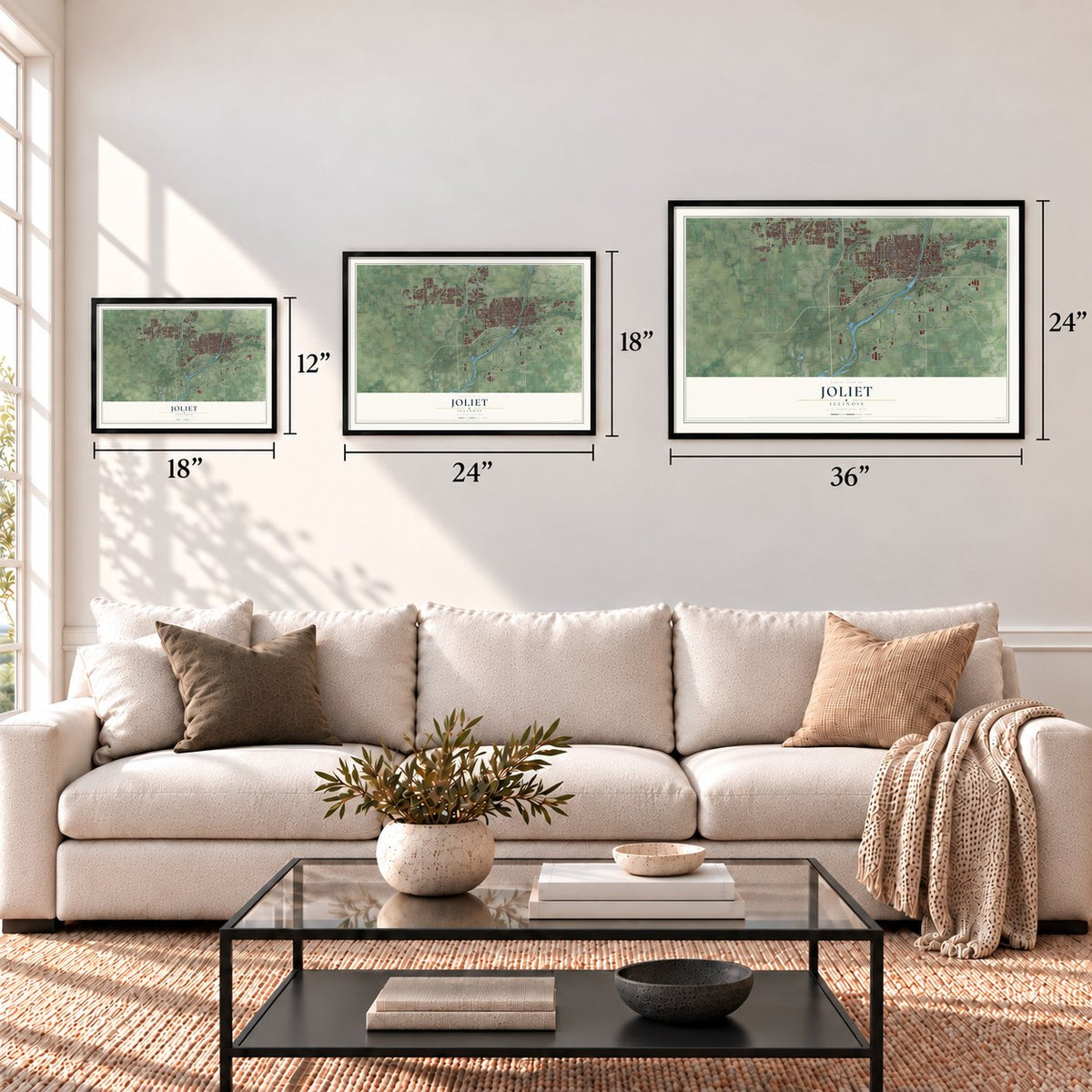
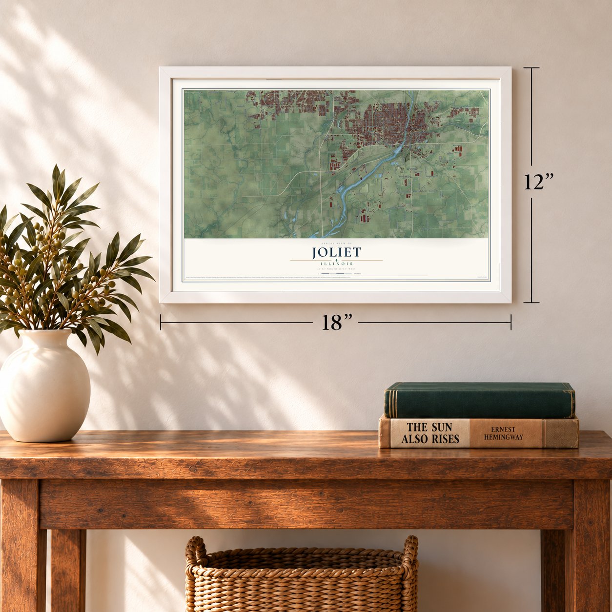
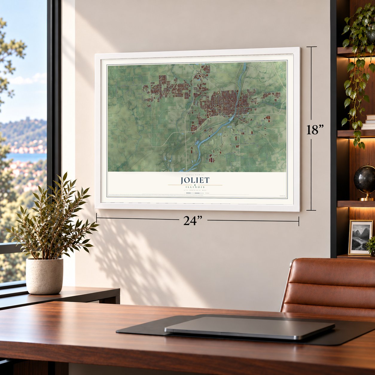
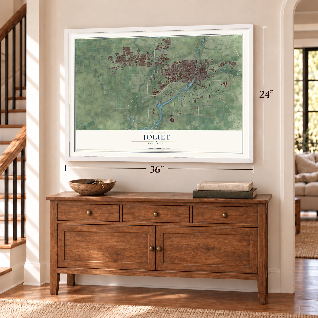
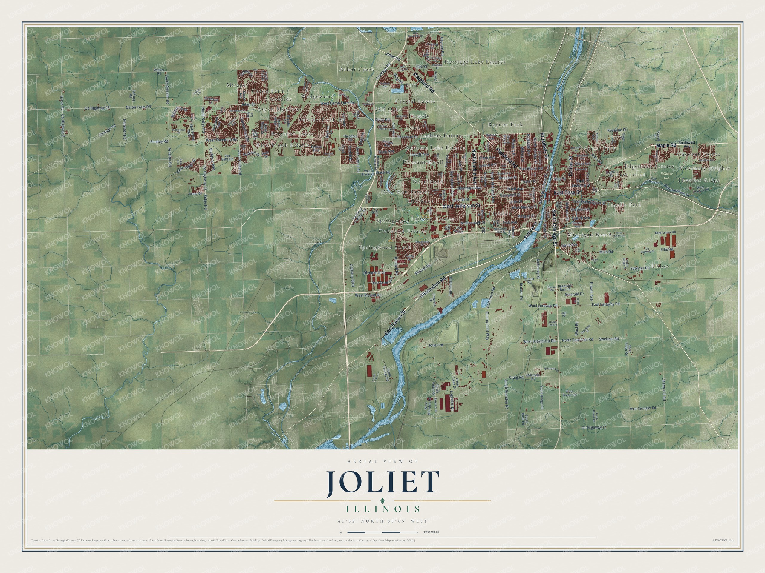
A new map of Joliet, Illinois, made in 2026 and printed to order on thick archival matte paper.
12" x 18" Archival Matte Print
A Map of Home. A Work of Art.
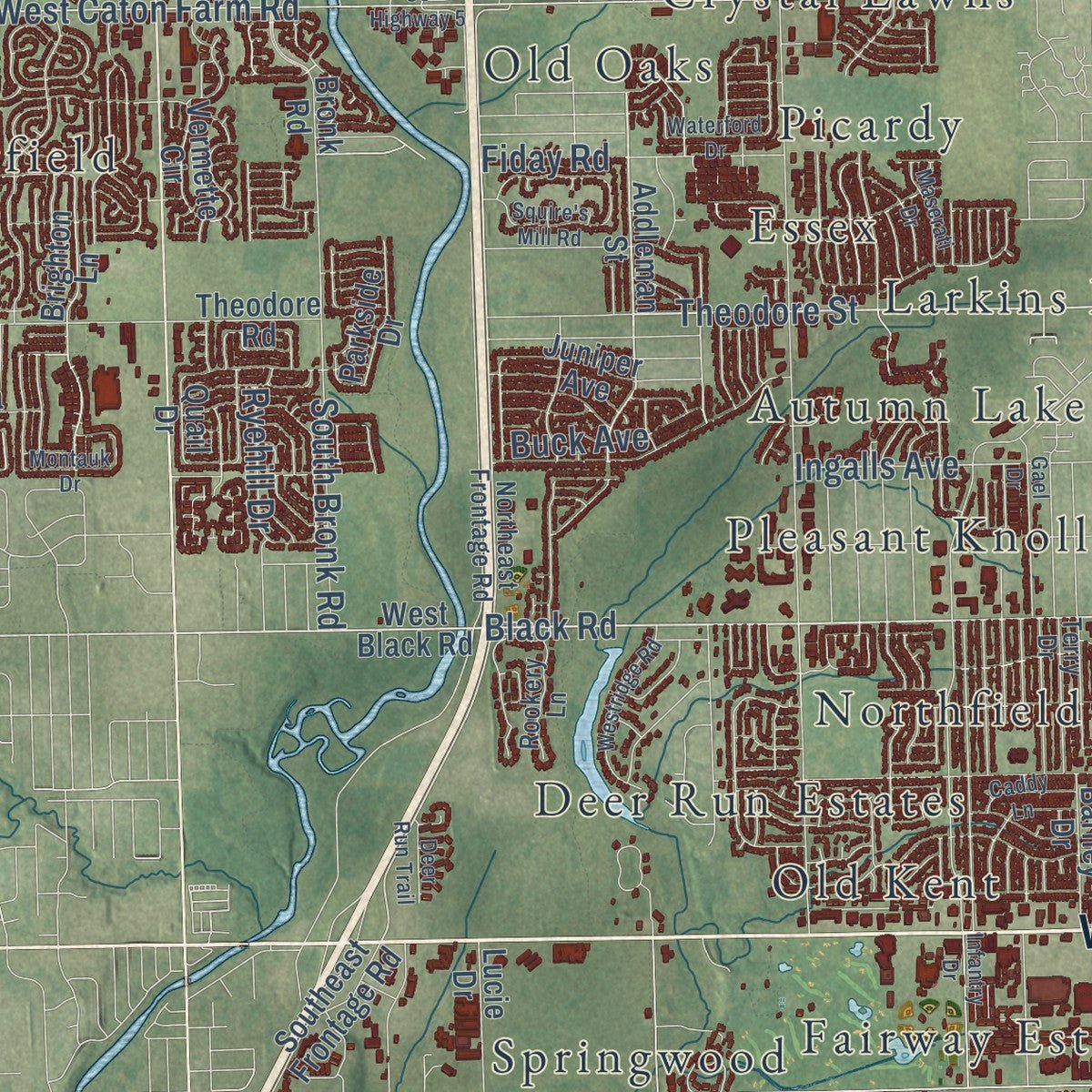
Explore Joliet, Illinois from a whole new perspective. Created using aerial imagery and detailed geographic data, this map captures Joliet building by building, with labeled streets, familiar landmarks, and shaded topographical relief that highlights the natural contours of the landscape.
Combining modern data with the timeless character of a vintage atlas, this map is just as interesting up close as it is beautiful on the wall. Whether you grew up in Joliet, spent memorable years there, or call it home today, this unique map is a great way to celebrate a place that means something to you. Zoom in on the preview to look for your street, and then order a print to put your memories on the wall.
Three ways to hang it
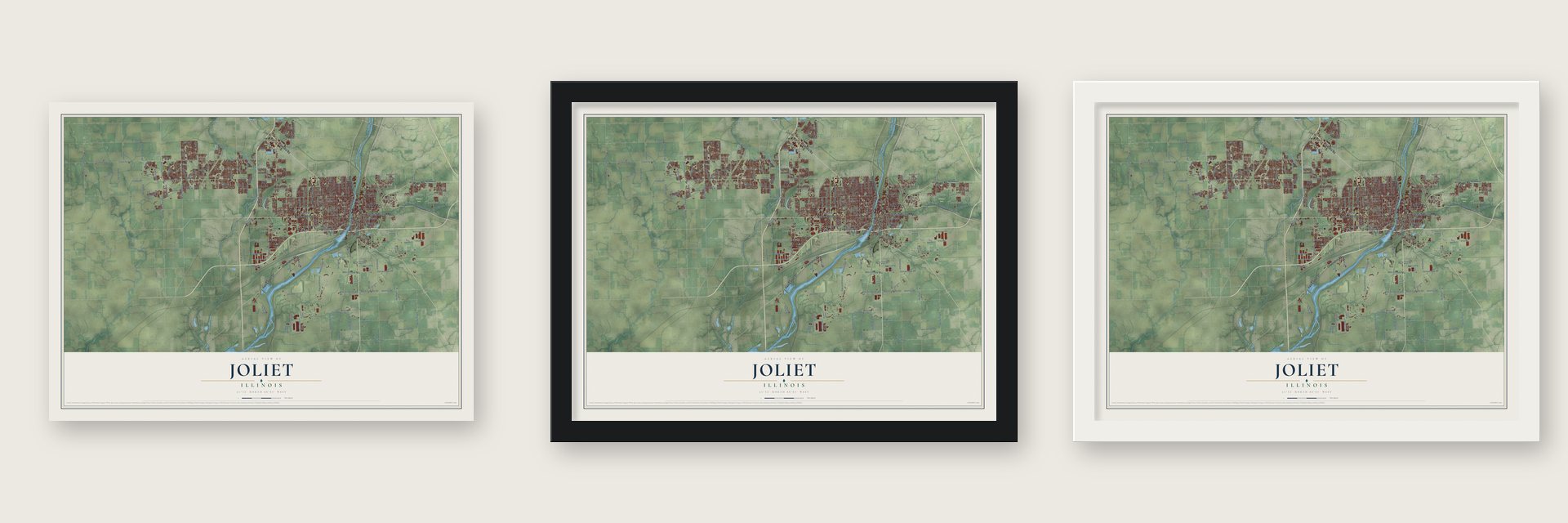
Unframed archival matte, a black wood frame or a white wood frame.
Up close
Geography Worth Displaying
This map was created using accurate cartographic data and authoritative geographic sources, including the U.S. Geological Survey and the Census Bureau. The map brings together terrain, waterways, roads, and building detail. The majority of the streets are labeled, houses are accurately depicted, and the topography is derived from government sources. Combining local data with carefully composed color and shading leads to this beautifully detailed Joliet artwork for your wall.
Rather than simply showing street outlines, we’ve included as many of the street names as we could reasonably fit on the map while keeping their names legible. Zoom in on the high resolution preview to see exactly what’s on the map. We truly set out to create a statement piece for anyone who loves Joliet. So whether it’s for you, or a gift for someone you love, we hope this map of Joliet brings back fond memories.
Read the story behind this map of Joliet, Illinois from 2026.

About Joliet, Illinois
Joliet took shape beside the Des Plaines River and received its city charter in 1852. Canal traffic, rail connections, stone quarrying, and steel manufacturing feature prominently in its history. The 2020 census recorded 150,362 residents.
- From Juliet to JolietResidents replaced the name Juliet with Joliet in 1845, and the community was reincorporated as a city in 1852.
- River Valley SettingJoliet developed along the Des Plaines River, with its downtown situated in the river valley.
- Industrial CenterIn 1890, Joliet had 201 manufacturing establishments representing 43 industries, including steel rails, machinery, agricultural implements, stoves, and clocks.
- Old Joliet PrisonCompleted in 1858 with locally sourced limestone, the prison closed in 2002 and reopened for tours in 2018.
- Route 66 PassageCompleted in 1926, U.S. Route 66 crosses the Des Plaines River and continues through downtown Joliet.
Find your street
Names on the Joliet map
Every name below is printed on this map. Look for your street, your school, the park where you played, or the pond down the road.
Places and landmarks37
- Pilcher Park
- Arbor Creek
- Aspen Meadows
- Autumn Lake Estates
- Brighton Lakes
- Brookside
- Caton Farm
- Chesnut Pointe
- Coventry Heights
- Crystal Lawns
- Deer Run Estates
- East Joliet
Show all 37 places
- Edgecreek Estates
- Erin
- Essex
- Fairway Estates
- Forest Park
- Heritage Lake Estates
- Idylside
- Ingalls Park
- Larkins Pointe
- Michigan Beach
- Mirage
- Northfield
- Oakwood Estates
- Old Kent
- Old Oaks
- Picardy
- Pleasant Knoll
- Raynor Park
- Riverbrook Estates
- Springwood
- Springwood South
- Summerfield
- Thunder Ridge
- Union
- Wedgewood
Streets and roads236
- South Chicago Street
- West Jefferson Street
- Plainfield Road
- East Cass Street
- Collins Street
- Maple Road
- Broadway Street
- Channahon Road
- East Eames Street
- North Larkin Avenue
- Black Road
- Theodore Street
- East Laraway Road
- West Laraway Road
- North Broadway Street
- Patterson Road
- East Black Road
- North Center Street
- Doris Avenue
- McDonough Street
- Richards Street
- Water Street
- Buck Avenue
- Caton Farm Road
- Houbolt Road
- County Highway 23
- West Caton Farm Road
- North Townline Road
- West Schweizer Road
- West Theodore Road
Show all 236 streets
- Centerpoint Way
- Ingalls Avenue
- County Highway 11
- North Ridge Road
- Ridge Road
- Sweitzer Road
- Glenwood Avenue
- South Brandon Road
- Cherry Hill Road
- Douglas Street
- County Line Road
- Arbeiter Road
- Campbell Street
- Oneida Street
- Spencer Road
- Rowell Avenue
- Mills Road
- Taylor Street
- East Washington Street
- Frontage Road
- Craig Road
- South Bronk Road
- County Highway 2
- Grove Road
- Cumberland Drive
- West Mound Road
- Wilcox Street
- West Marion Street
- Buell Avenue
- Highland Park Drive
- Joliet Street
- Olympic Boulevard
- Gateway Boulevard
- North Midland Avenue
- Second Avenue
- Sable Ridge Drive
- Ring Road
- Morgan Street
- Logistics Drive
- County Highway 17
- Barberry Way
- Fourth Avenue
- Mound Road
- Peterson Road
- Springfield Avenue
- South Arbeiter Road
- West Road
- Fiday Road
- Gaylord Road
- Rosalind Street
- Clara Avenue
- Highland Avenue
- Ohio Street
- Waverly Place
- McKinley Street
- Chicago Road
- Joliet Road
- Waterbury Drive
- Emerald Drive
- John Street
- Terminal Court
- Ann Street
- Hadrian Drive
- Ryehill Drive
- 16th Street
- Findley Road
- Sahara Drive
- Ellis Road
- Fisk Avenue
- East Jackson Street
- Railroad Street
- Addleman Street
- West Black Road
- Brighton Lane
- Caton Ridge Drive
- Millsdale Road
- West Millsdale Road
- Nicholson Street
- Van Dyke Road
- Southeast Frontage Road
- South Bridge Road
- Wild Spring Parkway
- Jones Road
- Clublands Parkway
- New Lenox Road
- South Ridge Road
- Wheeler Avenue
- South Youngs Road
- Vermette Circle
- Riviera Boulevard
- Drauden Road
- North May Street
- Woodlawn Avenue
- Rock Creek Boulevard
- Joyce Road
- West Francis Road
- West Spangler Road
- Sierra Avenue
- Arthur Avenue
- Zurich Road
- Roth Drive
- Frank Turk Drive
- Cathy Drive
- West Breen Road
- Earl Avenue
- Dellmar Avenue
- Morris Street
- Empress Drive
- Boxwood Lane
- Walker Road
- Chase Avenue
- Bronk Road
- Cypress Lane
- South Vetter Road
- Brandon Road
- Great Ridge Drive
- Barney Drive
- Theodore Road
- Schlapp Road
- Lucie Drive
- Cedar Creek Drive
- Oak Leaf Street
- Belle Avenue
- Parkside Drive
- Farrell Road
- Frontier Lane
- Pheasant Run Road
- Boston Avenue
- Abe Street
- Juniper Avenue
- South Bush Road
- Legacy Drive
- Daly Lane
- York Avenue
- Strong Avenue
- Eagle Street
- Quail Drive
- Ivy Place
- Southwest Highway
- Northeast Frontage Road
- Mason Avenue
- Legacy Pointe Bl
- South Briggs Street
- South Rowell Road
- North Joliet Street
- Division Street
- Terry Drive
- Elizabeth Street
- Parkwood Drive
- Mall Loop Drive
- Old Renwick Road
- Brickyard Drive
- Williamson Avenue
- Speedway Bl
- Elwood Street
- Kellogg Street
- Baseline Road
- West Park Front Street
- County Highway 51
- Briggs Street
- Bloomfield Drive
- West Bevan Drive
- Rookery Lane
- Riley Drive
- Dollar Tree Lane
- Prieboy Avenue
- Rachel Avenue
- Page Avenue
- Zipf Road
- County Highway 5
- Woodruff Road
- West Haven Avenue
- North Bluff Street
- Edgerton Drive
- Townsend Boulevard
- South Desplaines Street
- Vine Street
- Blandford Avenue
- Gael Drive
- Tremont Lane
- Infantry Drive
- Westridge Road
- Manchester Drive
- Lilac Lane
- Lakeridge Drive
- Bazz Drive
- Riverwalk Drive
- Squire's Mill Road
- Kraker Avenue
- Buckingham Road
- Hague Street
- Wyoming Avenue
- Ashby Lane
- Maserati Drive
- Waterford Drive
- Crested Butte Trail
- Caddy Lane
- Cashel Road
- Montauk Drive
- Loral Avenue
- Kolar Avenue
- Youngs Road
- Deer Run Trail
- Huntley Trail
- Neal Avenue
- Home Street
Names are listed as they appear on the printed map. Zoom into the product photos to find them.
The art of mapping a place
How This Map Was Made
Real places. Remarkable detail. Discover the layers that turn geographic data into a map of home.

The view from above
Aerial imagery reveals the character of the land: woodland, open fields, and the patterns of a place.

The shape of the land
Elevation data brings hills, valleys, and subtle changes in the landscape into view.

The details of home
Roads, waterways, and building footprints come together to make the map feel unmistakably local.

Geography becomes art
Considered color, shading, and typography bring the layers together in a map made for your wall.


Process illustrated with Mendon, Massachusetts. Aerial imagery: USDA NAIP. Terrain: USGS 3D Elevation Program. Map details and finished artwork: KNOWOL.
The Details
About This Print
Choose an archival matte print, or a black or white Ayous wood frame. The archival matte print is unframed.
Select your size and finish above to see the matching product image and price.
Materials & Craftsmanship
A contemporary map with the character of a classic atlas, printed on archival matte paper. Optional frames are made from Ayous wood.
Your printed map does not include the watermark shown in the full-map preview.
Shipping & Delivery
Free shipping within the United States. Every print is made to order in the USA.
Buying a gift? Add a note in your cart and we'll include it. We never put prices in the package.
Prints ship within 2 to 3 business days. Allow 7 to 10 days total from ordering for delivery. Timing may vary during holidays or periods of high order volume.
Read our shipping policy.
Returns and damaged prints
Each print is made to order. Change-of-mind refunds are not available after production.
If your print arrives damaged, misprinted or incorrect, contact support@knowol.com within 30 days of receiving it. Include your order number, photos and a description of the issue.
Read our full refund and replacement policy. For questions about your order, email support@knowol.com.
Find your town
Looking for another city?
Find a map of home in our Illinois collection, or any town in the country.
Nearby
Maps of towns near Joliet
Know someone from one of these towns? Their map makes a great gift.
 Rockdale
, Illinois
From $39.99See the map
 Shorewood
, Illinois
From $39.99See the map
 Crystal Lawns
, Illinois
From $39.99See the map
More maps nearby: Preston Heights, Sunnyland, Crest Hill, Ridgewood and Ingalls Park.