
Search for another town

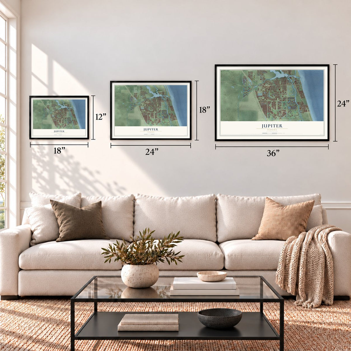

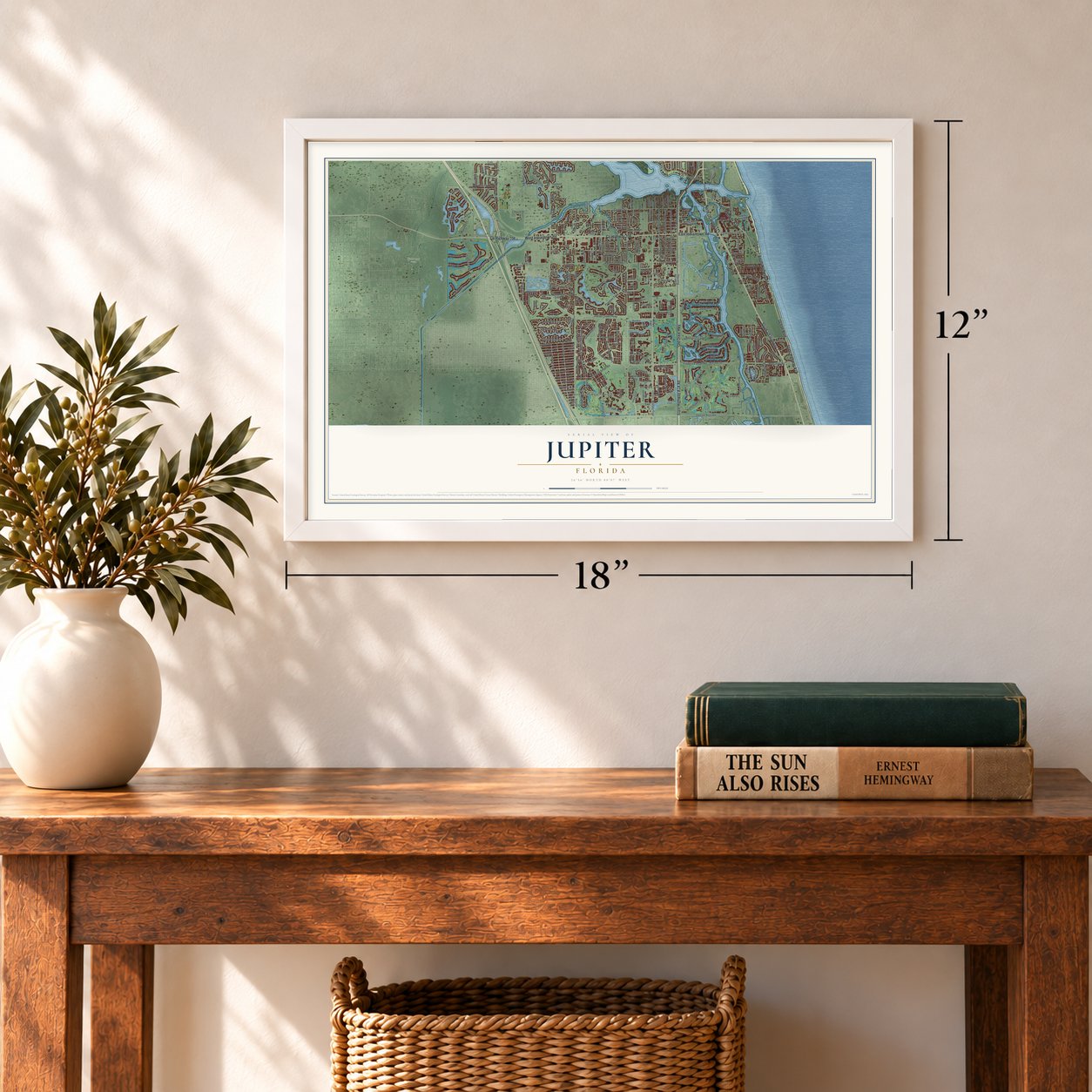

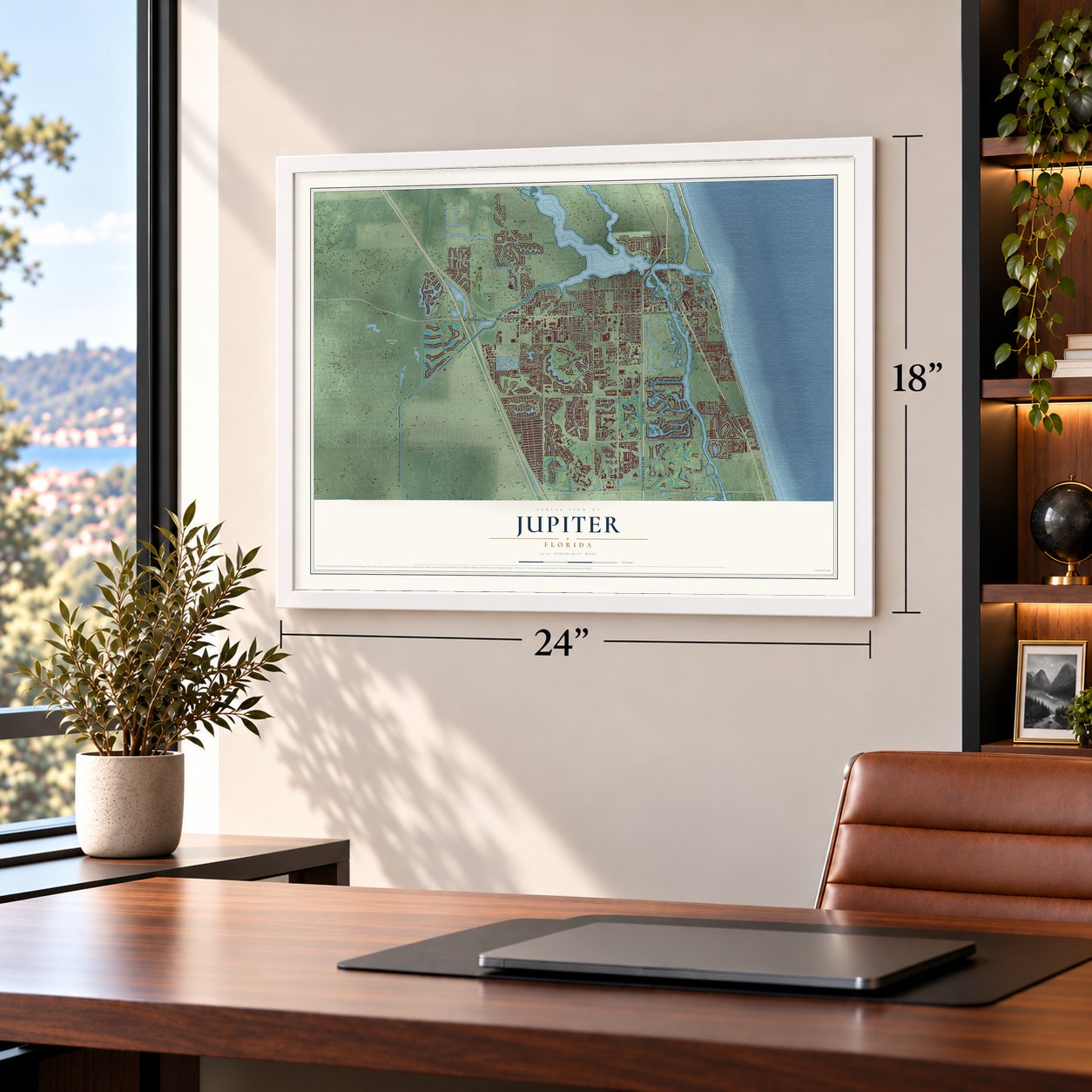
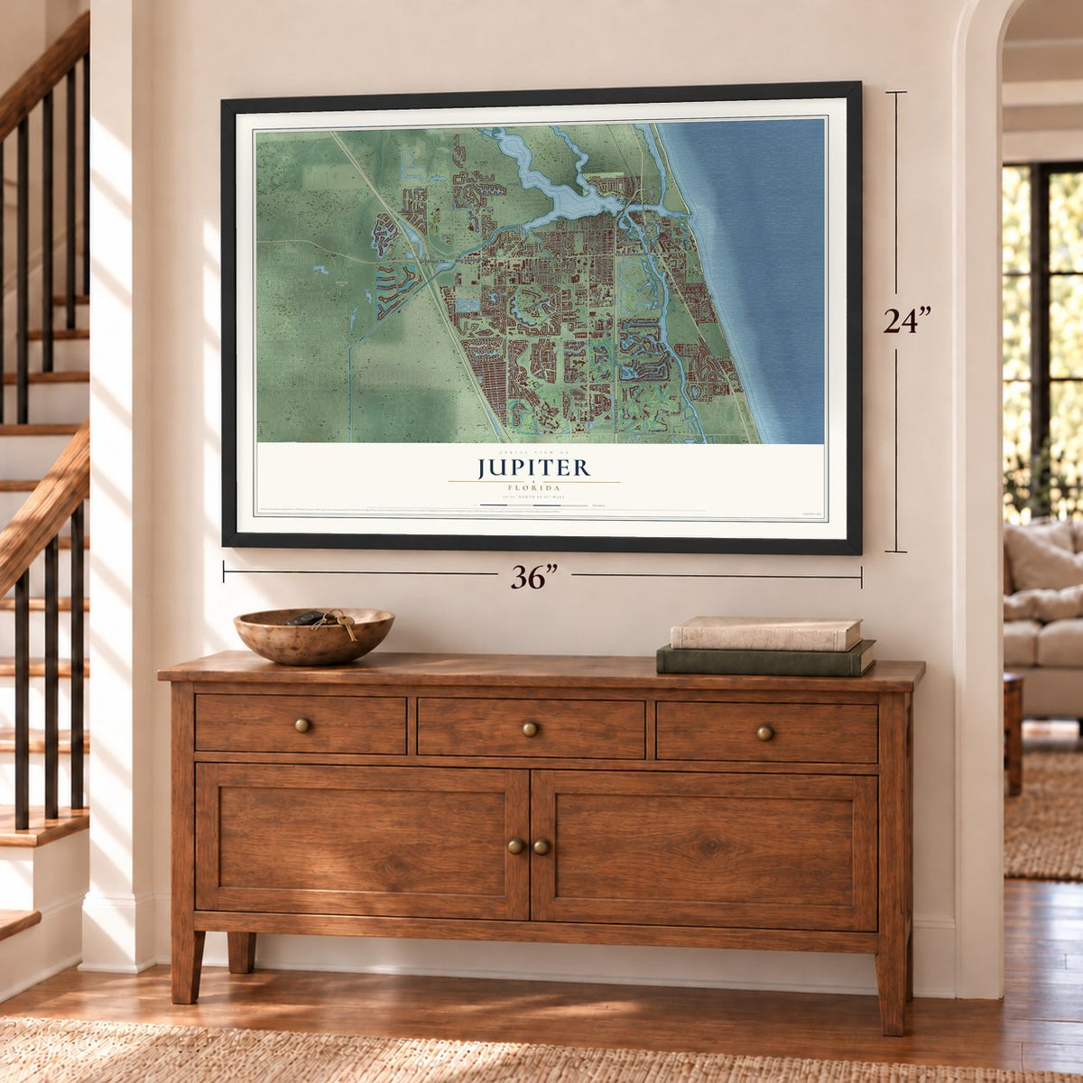
Free U.S. delivery 7 to 10 days after you order
Jupiter, Florida Map Art
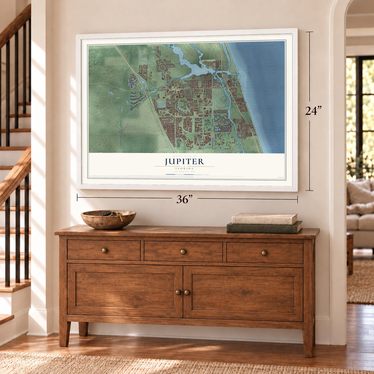
A new map of Jupiter, Florida, made in 2026 and printed to order on thick archival matte paper.
12" x 18" Archival Matte Print
A Map of Home. A Work of Art.
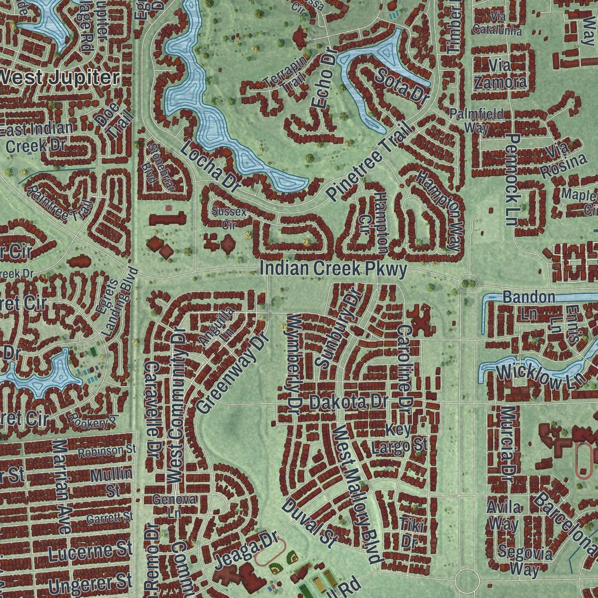
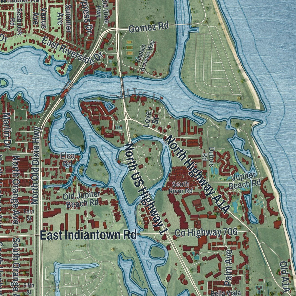
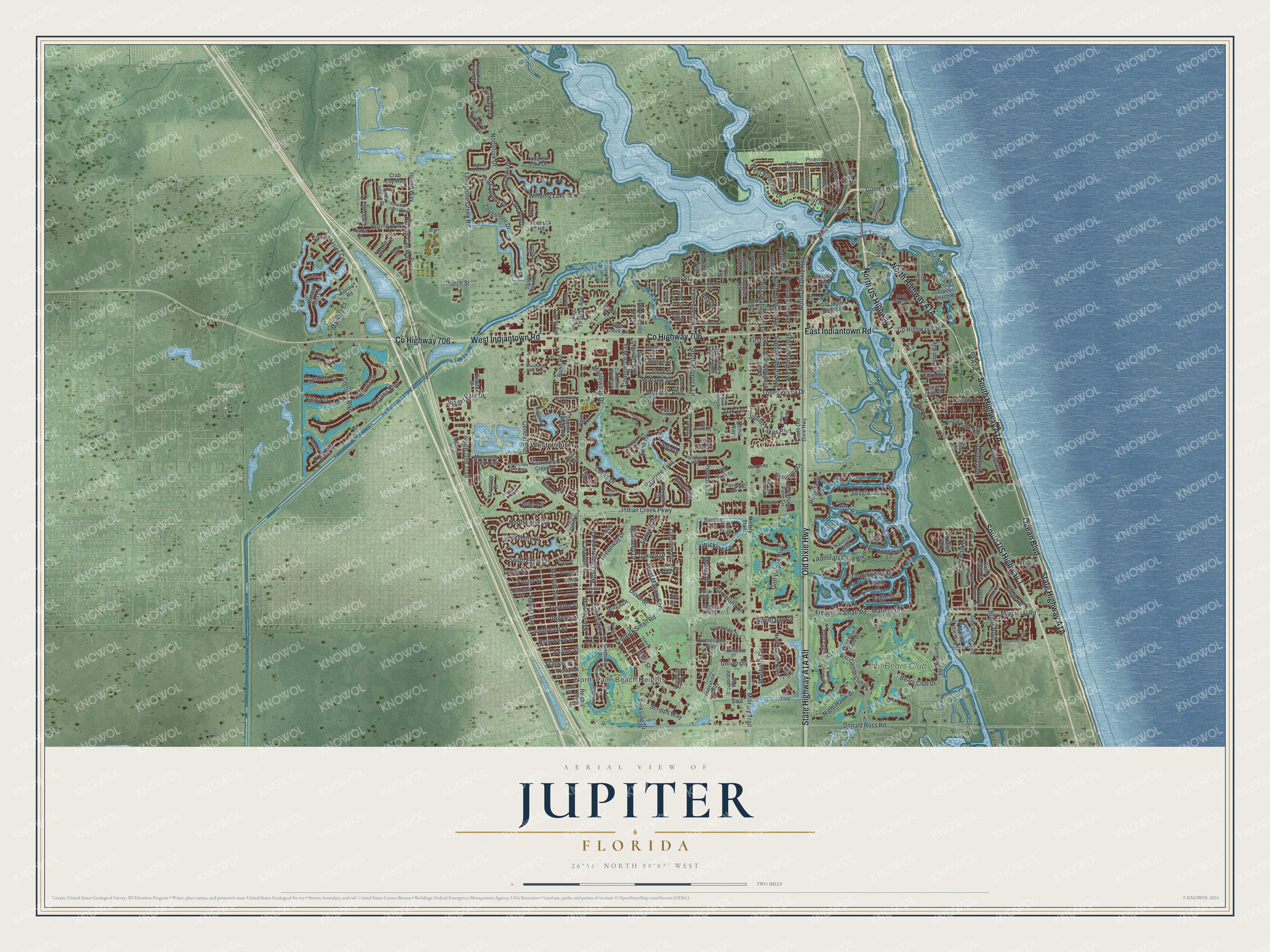
Explore Jupiter, Florida from a whole new perspective. Created using aerial imagery and detailed geographic data, this map captures Jupiter building by building, with labeled streets, familiar landmarks, and shaded topographical relief that highlights the natural contours of the landscape.
Combining modern data with the timeless character of a vintage atlas, this map is just as interesting up close as it is beautiful on the wall. Whether you grew up in Jupiter, spent memorable years there, or call it home today, this unique map is a great way to celebrate a place that means something to you. Zoom in on the preview to look for your street, and then order a print to put your memories on the wall.
Three ways to hang it
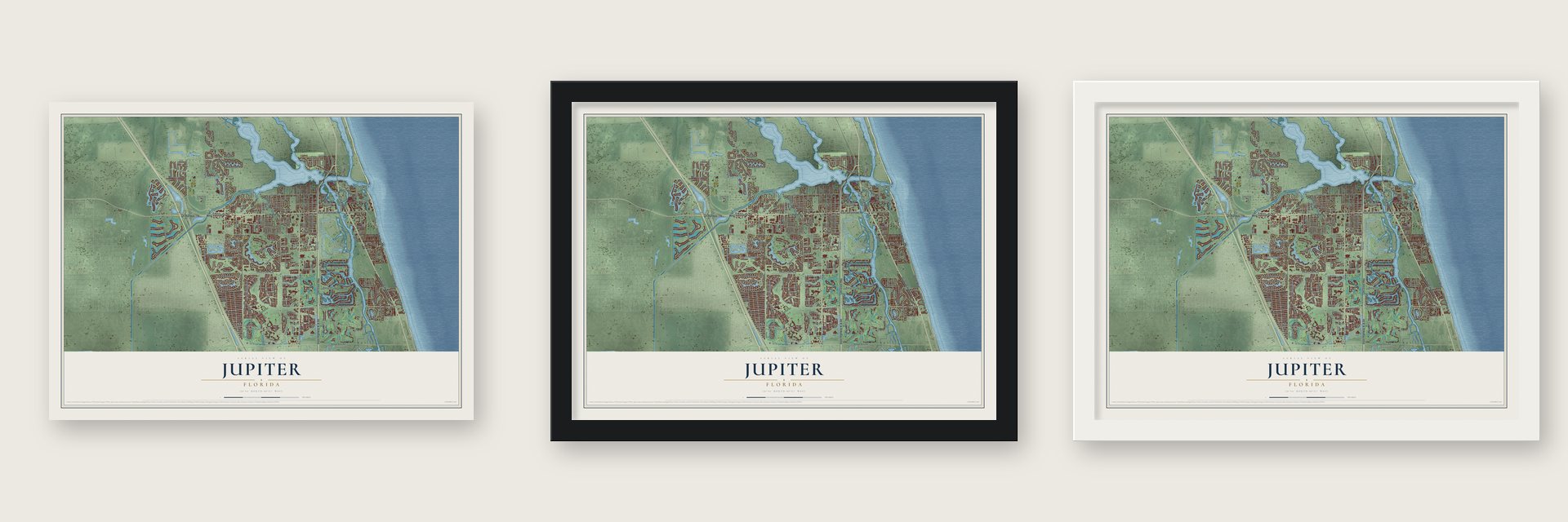
Unframed archival matte, a black wood frame or a white wood frame.
Up close
Geography Worth Displaying
This map was created using accurate cartographic data and authoritative geographic sources, including the U.S. Geological Survey (USGS) and FEMA. The map brings together terrain, waterways, roads, and building detail. The majority of the streets are labeled, houses are accurately depicted, and the topography is derived from government sources. Combining local data with carefully composed color and shading leads to this beautifully detailed Jupiter artwork for your wall.
Rather than simply showing street outlines, we’ve included as many of the street names as we could reasonably fit on the map while keeping their names legible. Zoom in on the high resolution preview to see exactly what’s on the map. We truly set out to create a statement piece for anyone who loves Jupiter. So whether it’s for you, or a gift for someone you love, we hope this map of Jupiter brings back fond memories.
Explore the full map of Jupiter, Florida and read about the local places it shows.

About Jupiter, Florida
Jupiter is a Florida community in Palm Beach County. The 2020 census recorded 61,047 residents.
- Palm Beach CountyJupiter is located in this Florida county.
- 61,047 residentsThe community reached this population in the 2020 census.
- Named in 2022The name used for the community dates to 2022.
- 21.1 square milesThis is the total area reported for the community.
Find your street
Names on the Jupiter map
Every name below is printed on this map. Look for your street, your school, the park where you played, or the pond down the road.
Places and landmarks4
- North Palm Beach Heights
- Riverbend Park
- West Jupiter
- The Bears Club
Streets and roads278
- North US Highway 1
- East Indiantown Road
- Old Dixie Highway
- County Highway 706
- South US Highway 1
- West Indiantown Road
- Ocean Boulevard
- Gomez Road
- New Haven Boulevard
- Golf Village Boulevard
- Swa
- Central Boulevard
- Donald Ross Road
- West Community Drive
- Community Drive
- Regatta Drive
- Brier Circle
- East Riverside Drive
- San Remo Drive
- Military Trail
- Bears Club Drive
- Toney Penna Drive
- Center Street
- Frederick Small Road
- Island Way
- Indian Creek Parkway
- Locha Drive
- Maplewood Drive
- Sonoma Isles Circle
- Eagle Drive
Show all 278 streets
- Winding Lake Drive
- Dakota Drive
- Jeaga Drive
- Longshore Drive
- Greenway Drive
- Pinetree Trail
- Pennock Lane
- Marlberry Circle
- Marrian Avenue
- Bluffs Boulevard
- Church Street
- Ridge Road
- University
- Tresana Boulevard
- Fredrick Small Road
- Parkside Drive
- Caravelle Drive
- Sweet Bay Circle
- Rudder Cay Way
- Spyglass Lane
- South Egret Circle
- River Park Drive
- Mariner Drive
- Marcinski Road
- Jupiter Park Drive
- West Mallory Boulevard
- Caroline Drive
- Duval Street
- Limestone Creek Road
- Admirals Cove Boulevard
- Echo Drive
- Cortona Boulevard
- Main Street
- Commodore Drive
- North Egret Circle
- North Old Dixie Highway
- Northfork Drive
- Leslie Street
- North Loxahatchee Drive
- West Riverside Drive
- Lakeshore Drive
- Scripps Way
- Harriet Avenue
- Foster Street
- Carina Drive
- South Pennock Lane
- Umbrella Place
- Wymberly Drive
- Night Hawk Drive
- Bush Road
- South Orange Avenue
- South Hepburn Avenue
- Via Cameron
- Jupiter Lakes Boulevard
- First Street
- Barcelona Drive
- North Hepburn Avenue
- North Orange Avenue
- Sonata Drive
- Marsala Court
- Ungerer Street
- Wicklow Lane
- Helios Drive
- Sota Drive
- Todd Street
- Commerce Way
- Cypress Drive
- Mohawk Street
- Palm Avenue
- Bering Way
- Lauderdale Street
- North 70th Trail
- Mohican Boulevard
- Thelma Avenue
- Lucerne Street
- Big Cypress Drive
- Elena Court
- Hollywood Street
- Manor Circle
- Botanica Drive
- Victorian Lane
- Adams Street
- Murcia Drive
- Carmela Court
- Marlin Drive
- Sunbury Drive
- Pegasus Drive
- Francis Street
- Reo Drive
- Oak Terrace
- Corporate Way
- Darby Island Place
- Keystone Drive
- Crab Cay Way
- Heights Boulevard
- South Old Dixie Highway
- Lake Bend Drive
- Jupiter Village Road
- River Edge Road
- Ritz-Carlton Club Drive
- Pineview Road
- Still Lake Drive
- East Indian Creek Drive
- Palmwood Road
- Mullin Street
- Via Rosina
- Hampton Circle
- Barbara Street
- Marina Isle Way
- Cape Pointe Circle
- Old Jupiter Beach Road
- South Loxahatchee Drive
- Ocean Pines Terrace
- North Pennock Lane
- Promenade Way
- Spinnaker Lane
- North Delaware Boulevard
- Sims Creek Lane
- Segovia Way
- South Delaware Boulevard
- Hampton Way
- Newcastle Drive
- Choctaw Street
- Xanadu Place
- Tidal Pointe Boulevard
- Jupiter Beach Road
- West Bears Club Drive
- Ennis Lane
- Innovation Way
- Sioux Street
- West Windsor Road
- Longleaf Pine Drive
- Blanca Isles Lane
- East Thatch Palm Circle
- Moccasin Trail North
- Bald Eagle Drive
- Hugh Street
- Bermuda Drive
- Pompano Drive
- Shore Point Drive
- Key Largo Street
- Kriss Lane
- Summer Avenue
- Timber Lane
- Circle West
- Circle East
- Bandon Lane
- Douglas Drive
- Kendrick Street
- Venus Avenue
- Roebuck Road
- Turner Quay Street
- Carver Avenue
- Dolphin Drive
- Anglers Way
- Avila Way
- Plantation Way
- Ocean Cove Drive
- Capital Street
- Egret Drive
- Nautical Way
- Doe Trail
- Reina Way
- Via Zamora
- Aurora Road
- Love Street
- Elsa Road
- Bryce Lane
- Tiki Drive
- Raintree Trail
- Barbados Drive
- Mainsail Circle
- Maplecrest Circle
- Greentree Circle
- Marquette Drive
- North River Drive East
- East River Park Drive
- Loxahatchee River Road
- Citadel Circle
- Southview Drive
- North River Drive West
- Seabrook Road
- Terrapin Trail
- Commerce Way West
- Northview Drive
- Casa Circle
- Flagship Circle
- Bus Loop
- Cherokee Street
- Jupiter Isles Way
- Ficus Way
- Dubois Road
- Farmingdale Drive
- Palmfield Way
- South River Road
- Egrets Landing Boulevard
- Bella Vista Court South
- Yancy Avenue
- Lakeside Drive
- Genova Lane
- Chancellor Drive
- Anguilla Lane
- Eberts Street
- Cree Street
- Warren Drive
- April Lane
- Riverwalk Lane
- Park Lane South
- Captains Way
- Ocean Dunes Circle
- Ocean Way
- Robinson Street
- Cypress Cove Circle
- Indian Creek Drive West
- Garrett Street
- Via Catalunha
- Jones Creek Drive
- Captain Armours Way
- Jupiter Hospital
- Indian Creek Drive
- Fern Street
- Quayside Drive
- Pinecrest Circle
- Sussex Circle
- West Bay Cedar Circle
- Rosalia Court
- Fifth Street
- Stadium Drive
- Greenwich Circle
- Beach Summit Court
- White Pelican Way
- South Radio Road
- Palomino Drive
- Mangrove Bay Way
- Island Drive
- Spyglass Way
- Rookery Place
- Stonebriar Boulevard
- Caicos Drive
- Nocossa Circle
- Chasewood Drive North
- Seagrape Drive
- Ravello Lane
- Indigo River Point
- Via Verona
- Carrara Court
- Tierra Lane
- Faith Way
Names are listed as they appear on the printed map. Zoom into the product photos to find them.
The art of mapping a place
How This Map Was Made
Real places. Remarkable detail. Discover the layers that turn geographic data into a map of home.

The view from above
Aerial imagery reveals the character of the land: woodland, open fields, and the patterns of a place.

The shape of the land
Elevation data brings hills, valleys, and subtle changes in the landscape into view.

The details of home
Roads, waterways, and building footprints come together to make the map feel unmistakably local.

Geography becomes art
Considered color, shading, and typography bring the layers together in a map made for your wall.


Process illustrated with Mendon, Massachusetts. Aerial imagery: USDA NAIP. Terrain: USGS 3D Elevation Program. Map details and finished artwork: KNOWOL.
The Details
About This Print
Choose an archival matte print, or a black or white Ayous wood frame. The archival matte print is unframed.
Select your size and finish above to see the matching product image and price.
Materials & Craftsmanship
A contemporary map with the character of a classic atlas, printed on archival matte paper. Optional frames are made from Ayous wood.
Your printed map does not include the watermark shown in the full-map preview.
Shipping & Delivery
Free shipping within the United States. Every print is made to order in the USA.
Buying a gift? Add a note in your cart and we'll include it. We never put prices in the package.
Prints ship within 2 to 3 business days. Allow 7 to 10 days total from ordering for delivery. Timing may vary during holidays or periods of high order volume.
Read our shipping policy.
Returns and damaged prints
Each print is made to order. Change-of-mind refunds are not available after production.
If your print arrives damaged, misprinted or incorrect, contact support@knowol.com within 30 days of receiving it. Include your order number, photos and a description of the issue.
Read our full refund and replacement policy. For questions about your order, email support@knowol.com.
Find your town
Looking for another city?
Find a map of home in our Florida collection, or any town in the country.
Nearby
Maps of towns near Jupiter
Know someone from one of these towns? Their map makes a great gift.
 Limestone Creek
, Florida
From $39.99See the map
 Tequesta
, Florida
From $39.99See the map
 Jupiter Inlet Colony
, Florida
From $39.99See the map
More maps nearby: Juno Beach, Cabana Colony, Palm Beach Gardens, Juno Ridge and Jupiter Farms.