
Search for another town

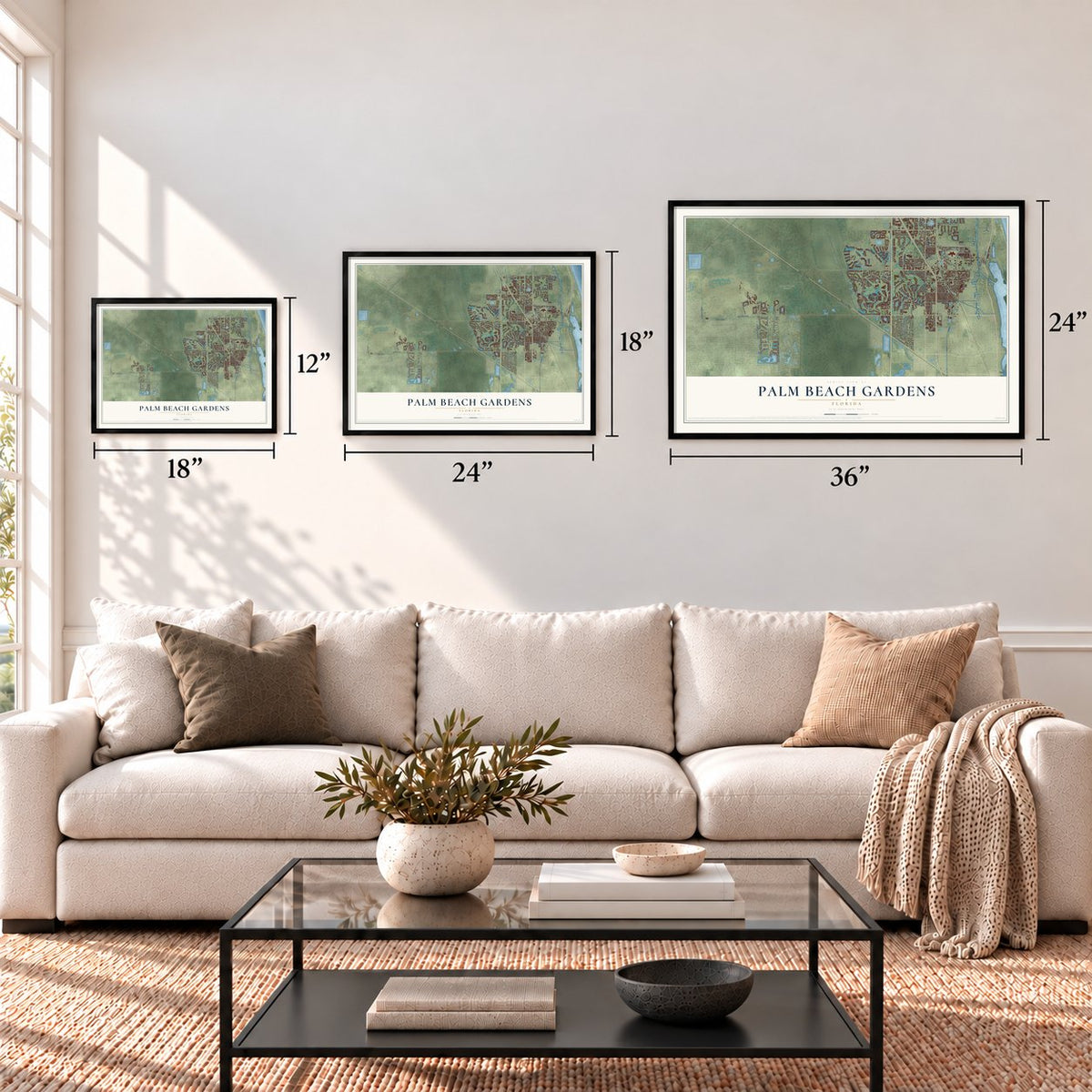

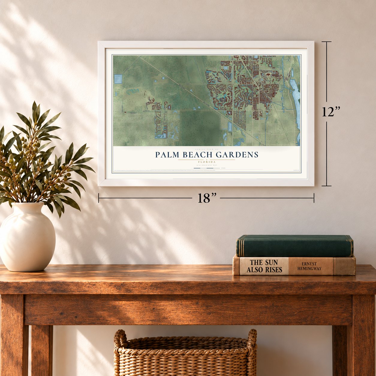
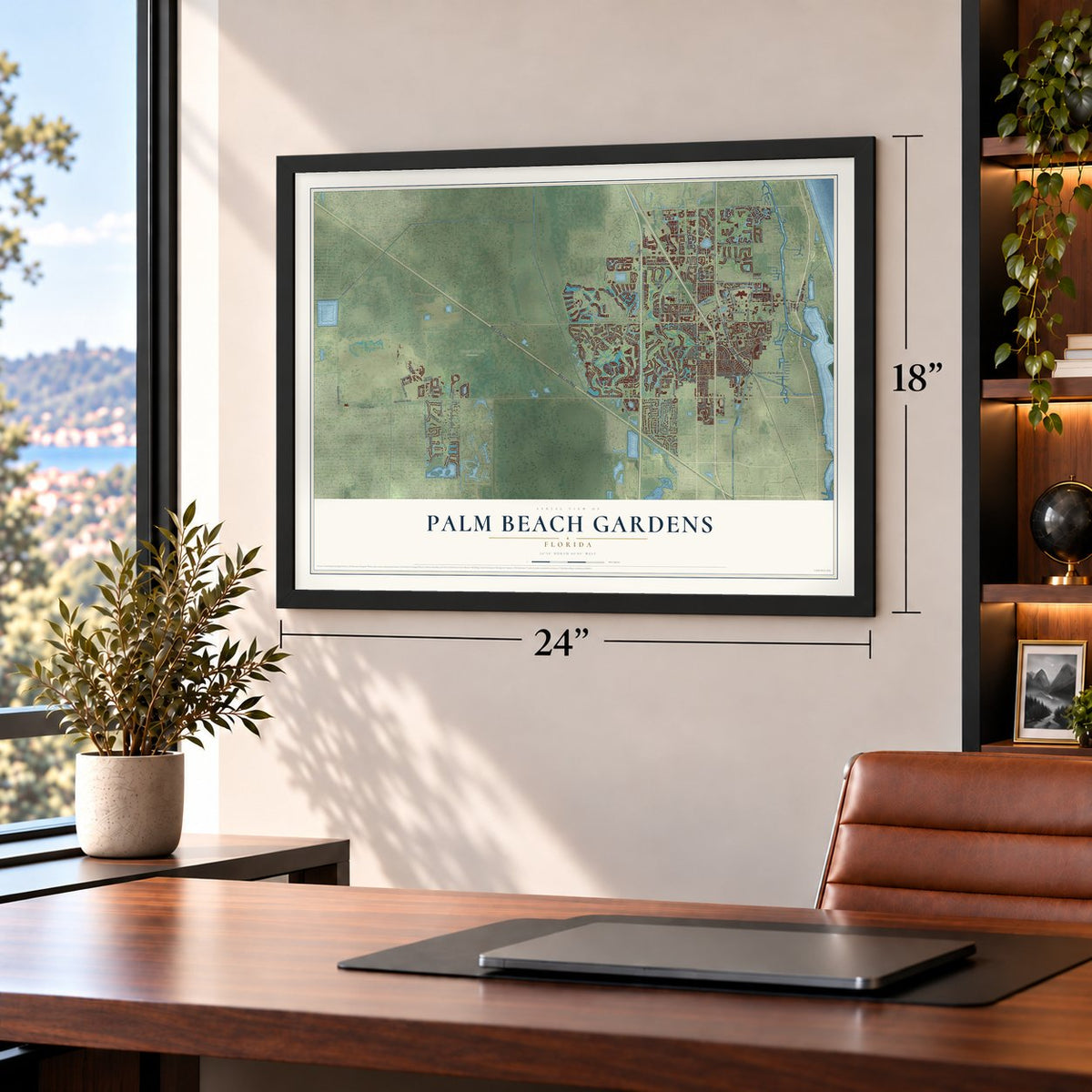
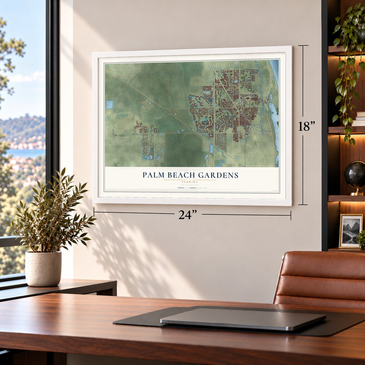


Free U.S. delivery 7 to 10 days after you order
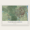
Palm Beach Gardens, Florida Map Art
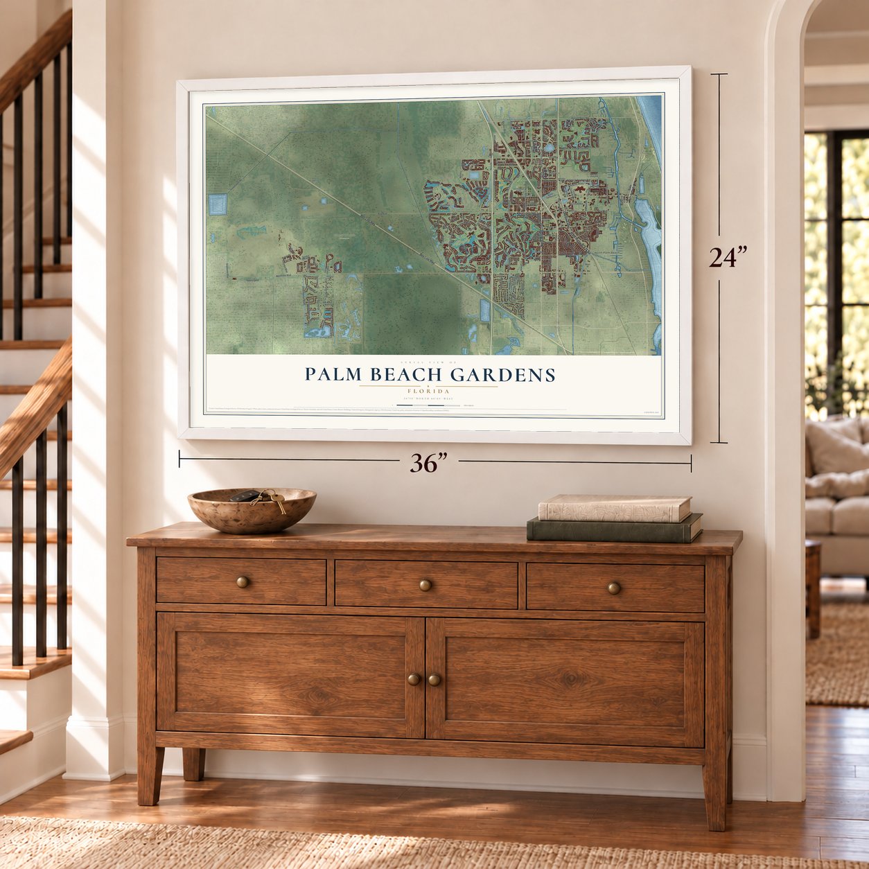
A new map of Palm Beach Gardens, Florida, made in 2026 and printed to order on thick archival matte paper.
12" x 18" Archival Matte Print
A Map of Home. A Work of Art.
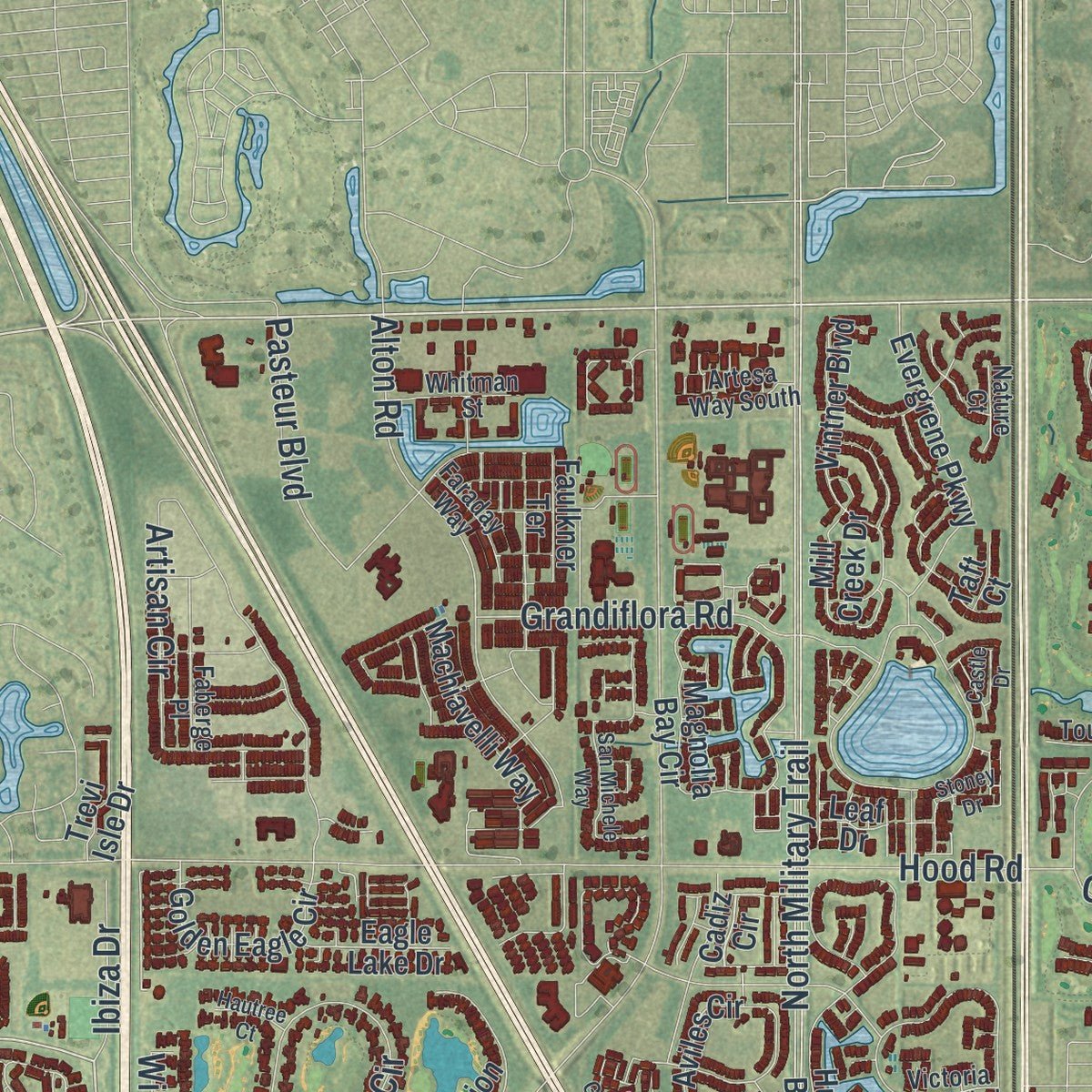
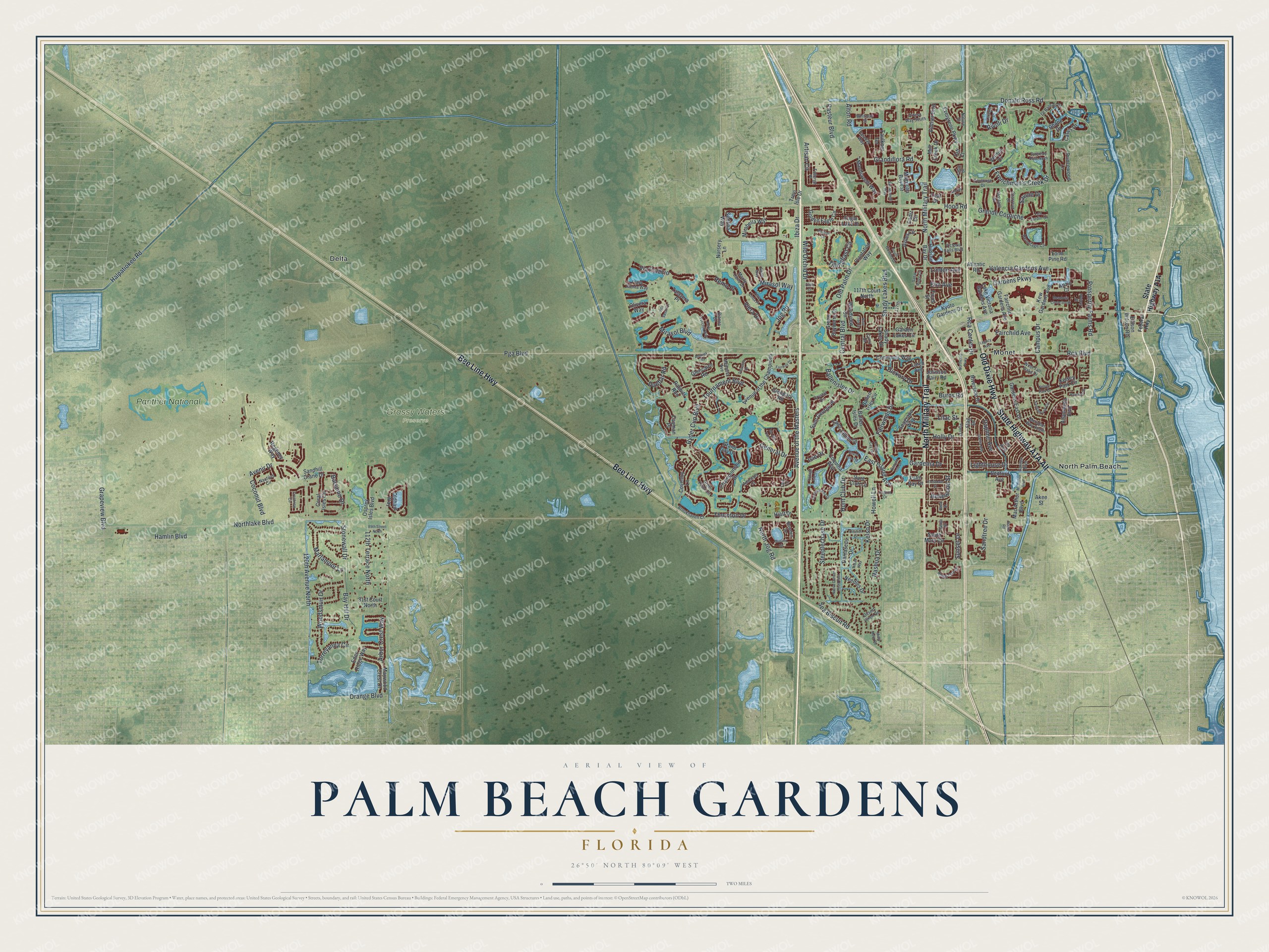
Explore Palm Beach Gardens, Florida from a whole new perspective. Created using aerial imagery and detailed geographic data, this map captures Palm Beach Gardens building by building, with labeled streets, familiar landmarks, and shaded topographical relief that highlights the natural contours of the landscape.
Combining modern data with the timeless character of a vintage atlas, this map is just as interesting up close as it is beautiful on the wall. Whether you grew up in Palm Beach Gardens, spent memorable years there, or call it home today, this unique map is a great way to celebrate a place that means something to you. Zoom in on the preview to look for your street, and then order a print to put your memories on the wall.
Three ways to hang it
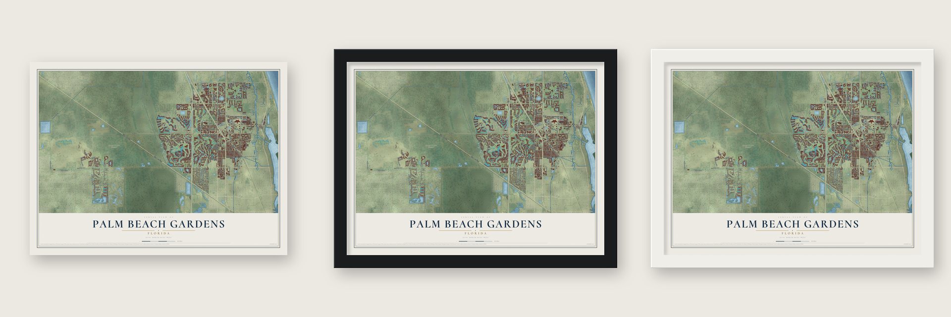
Unframed archival matte, a black wood frame or a white wood frame.
Up close
Geography Worth Displaying
This map was created using accurate cartographic data and authoritative geographic sources, including the U.S. Geological Survey (USGS) and FEMA. The map brings together terrain, waterways, roads, and building detail. The majority of the streets are labeled, houses are accurately depicted, and the topography is derived from government sources. Combining local data with carefully composed color and shading leads to this beautifully detailed Palm Beach Gardens artwork for your wall.
Rather than simply showing street outlines, we’ve included as many of the street names as we could reasonably fit on the map while keeping their names legible. Zoom in on the high resolution preview to see exactly what’s on the map. We truly set out to create a statement piece for anyone who loves Palm Beach Gardens. So whether it’s for you, or a gift for someone you love, we hope this map of Palm Beach Gardens brings back fond memories.
Explore the full map of Palm Beach Gardens, Florida and read about the local places it shows.
About Palm Beach Gardens, Florida
Palm Beach Gardens is a city in Palm Beach County, Florida. A population of 59,182 was recorded in the 2020 census.
- Palm Beach CountyThis Florida city forms part of Palm Beach County.
- 59,182 residents in 2020The census recorded this population for Palm Beach Gardens.
- Incorporated in 1959The community received municipal status in this year.
Find your street
Names on the Palm Beach Gardens map
Every name below is printed on this map. Look for your street, your school, the park where you played, or the pond down the road.
Places and landmarks5
- Grassy Waters Preserve
- Delta
- Monet
- North Palm Beach
- Panther National
Streets and roads232
- Old Dixie Highway
- Bee Line Highway
- North Military Trail
- Pga Boulevard
- Jog Road
- Donald Ross Road
- North Jog Road
- Northlake Boulevard
- Hood Road
- Central Boulevard
- Mirasol Way
- Ryder Cup Boulevard
- Ballenisles Drive
- Hamlin Boulevard
- Prosperity Farms Road
- Avenue of the Masters
- Frenchman's Creek Drive
- 120th Avenue North
- Burns Road
- Holly Drive
- Rca Boulevard
- Artisan Circle
- Steeplechase Drive
- Halpatiokee Road
- Gardens Parkway
- Valencia Gardens Avenue
- Avenir Drive
- Old Palm Drive
- Alton Road
- Wild Orchid Drive
Show all 232 streets
- 112th Terrace North
- Thornton Drive
- Tillinghast Circle
- Dunbar Road
- Woodsmuir Drive
- East Island Avenue
- Marlamoor Lane
- Nashua Drive
- Lighthouse Drive
- Grapeview Boulevard
- Elm Avenue
- Orange Boulevard
- Gardenia Drive
- Pasteur Boulevard
- Stonewall Drive
- Kelso Drive
- Tournament Boulevard
- General Drive
- Via Palacio
- Mirasol Boulevard
- Balsamo Drive
- Arbor Crest Way
- Grandiflora Road
- Shady Lakes Boulevard
- Coconut Boulevard
- Grande Corniche
- Daphne Avenue
- Torreyanna Circle
- Fairwinds Drive
- Rca Center Drive
- Hickory Drive
- Savoie Drive
- Fairchild Avenue
- Bay Hill Drive
- Rivoli Drive
- Sandtree Drive
- Hunt Club Drive
- Howell Lane
- Campus Drive
- Sunset Drive
- Sea Biscuit Road
- Bellewood Street
- Remo Place
- Lilac Street
- Viera Drive
- Ibiza Drive
- Linden Avenue
- Isle Drive
- Cadiz Circle
- Anzio Court
- Evergrene Parkway
- Gardens East Drive
- Riverside Drive
- Sedona Way
- Magnolia Bay Circle
- Sandhill Crane Drive
- Aviles Circle
- Coral Isles Circle
- Atlantic Road
- Golden Eagle Circle
- Garden Lakes Circle
- Saint George Place
- Oldham Way
- Machiavelli Way
- Fairchild Gardens Avenue
- Osprey Isles Boulevard
- Kyoto Gardens Drive
- Hunt Club Lane
- Vintner Boulevard
- 117th Court North
- Lake Victoria Gardens Avenue
- Kelsey Park Circle
- Regency Way
- Avenue of the Champions
- Damascus Drive
- Cayman Place
- Faulkner Terrace
- Plantation Way
- Championship Drive
- Maywood Crest Drive
- Hudson Bay Drive
- Kew Gardens Avenue
- Green Bayberry Drive
- Princewood Lane
- Commons Way
- Allamanda Boulevard
- Coventry Lane
- Saint James Drive
- Rabbits Run
- Mirabella Way
- Mill Creek Drive
- Shady Lakes Drive
- Glengary Road
- Ellison Wilson Road
- Bedford Avenue
- Woodview Circle
- Ballen Isles Circle
- Seagrape Way
- Needles Drive
- Grand Cay Drive
- Eagle Lake Drive
- Glencairn Road
- Coquina Way
- Nursery Lane
- Mac Arthur Boulevard
- Trevi Isle Drive
- Flag Drive
- Larch Avenue
- Eden Ridge Way
- 81st Court North
- Hiatt Drive
- Verdun Drive
- Johnson Dairy Road
- Calais Drive
- Rhone Drive
- South Mary Circle
- Talavera Place
- Lone Pine Road
- Ficus Street
- Olivera Way
- Palm Bay Drive
- Ballen Isles Drive
- Leaf Drive
- Ivy Avenue
- Taft Court
- Akee Street
- Victoria Falls Boulevard
- Hermitage Circle
- Nautilus Circle
- Playa Rienta Way
- Brookhaven Court
- Faberge Place
- Royal Oak Drive
- Crystal Drive
- Toulouse Drive
- Le Bateau Drive
- Faraday Way
- Meridian Way South
- West Tall Oaks Drive
- Green Point Circle
- Charroux Drive
- Montant Drive
- Monte Carlo Drive
- Whitman Street
- Medalist Avenue
- Les Jardin Drive
- Artesa Way South
- 117th
- Bowden Drive
- Admirals Court
- Garden Boulevard
- Desert Vixen Road
- Nature Court
- Bianca Drive
- Dania Drive
- Curry Drive
- Federal Highway
- South Gardens Drive
- Crestview Circle
- Bent Tree Drive
- Porto Vecchio Way
- Dahlia Avenue
- Legacy Avenue
- Sandalwood Circle
- Murano Circle
- Thurston Drive
- Northcorp Parkway
- Citation Drive
- Sabal Ridge Circle
- Vintage Isle Lane
- Laguna Drive
- Via del Corso
- Stoney Drive
- Fairway Drive
- Orchid Cay Drive
- Coconut Key Drive
- Grand Isle Terrace
- Misty Morn Road
- Native Dancer Road East
- Crestdale Street
- San Michele Way
- Raintree Drive
- Banyan Isle Drive
- Kelsey Park Drive
- Lehavre Drive
- Castle Drive
- Plant Drive
- Meadows Circle South
- McArthur Boulevard
- Ridan Way
- 89th Street North
- Burgundy Drive North
- Terra Linda Place
- Villa Vasari Drive
- Alnwick Road
- Siesta Way
- Hautree Court
- Burma Road
- Walnut Street
- Reed Drive
- Elgin Lane
- Elina Court
Names are listed as they appear on the printed map. Zoom into the product photos to find them.
The art of mapping a place
How This Map Was Made
Real places. Remarkable detail. Discover the layers that turn geographic data into a map of home.

The view from above
Aerial imagery reveals the character of the land: woodland, open fields, and the patterns of a place.

The shape of the land
Elevation data brings hills, valleys, and subtle changes in the landscape into view.

The details of home
Roads, waterways, and building footprints come together to make the map feel unmistakably local.

Geography becomes art
Considered color, shading, and typography bring the layers together in a map made for your wall.


Process illustrated with Mendon, Massachusetts. Aerial imagery: USDA NAIP. Terrain: USGS 3D Elevation Program. Map details and finished artwork: KNOWOL.
The Details
About This Print
Choose an archival matte print, or a black or white Ayous wood frame. The archival matte print is unframed.
Select your size and finish above to see the matching product image and price.
Materials & Craftsmanship
A contemporary map with the character of a classic atlas, printed on archival matte paper. Optional frames are made from Ayous wood.
Your printed map does not include the watermark shown in the full-map preview.
Shipping & Delivery
Free shipping within the United States. Every print is made to order in the USA.
Buying a gift? Add a note in your cart and we'll include it. We never put prices in the package.
Prints ship within 2 to 3 business days. Allow 7 to 10 days total from ordering for delivery. Timing may vary during holidays or periods of high order volume.
Read our shipping policy.
Returns and damaged prints
Each print is made to order. Change-of-mind refunds are not available after production.
If your print arrives damaged, misprinted or incorrect, contact support@knowol.com within 30 days of receiving it. Include your order number, photos and a description of the issue.
Read our full refund and replacement policy. For questions about your order, email support@knowol.com.
Find your town
Looking for another city?
Find a map of home in our Florida collection, or any town in the country.
Nearby
Maps of towns near Palm Beach Gardens
Know someone from one of these towns? Their map makes a great gift.
 Cabana Colony
, Florida
From $39.99See the map
 Jupiter
, Florida
From $39.99See the map
 Jupiter Farms
, Florida
From $39.99See the map
More maps nearby: Juno Ridge, Limestone Creek, Juno Beach, Lake Park and North Palm Beach.